 The sheet, as you receive it
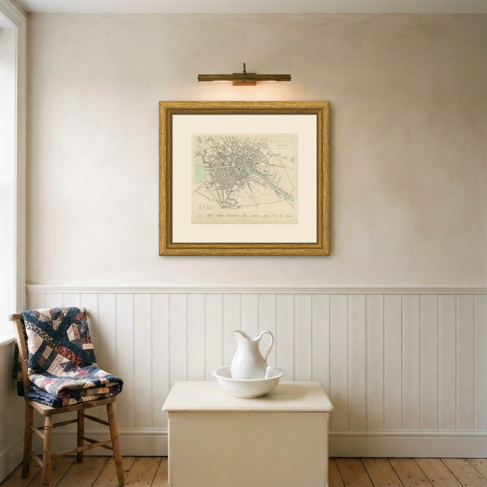
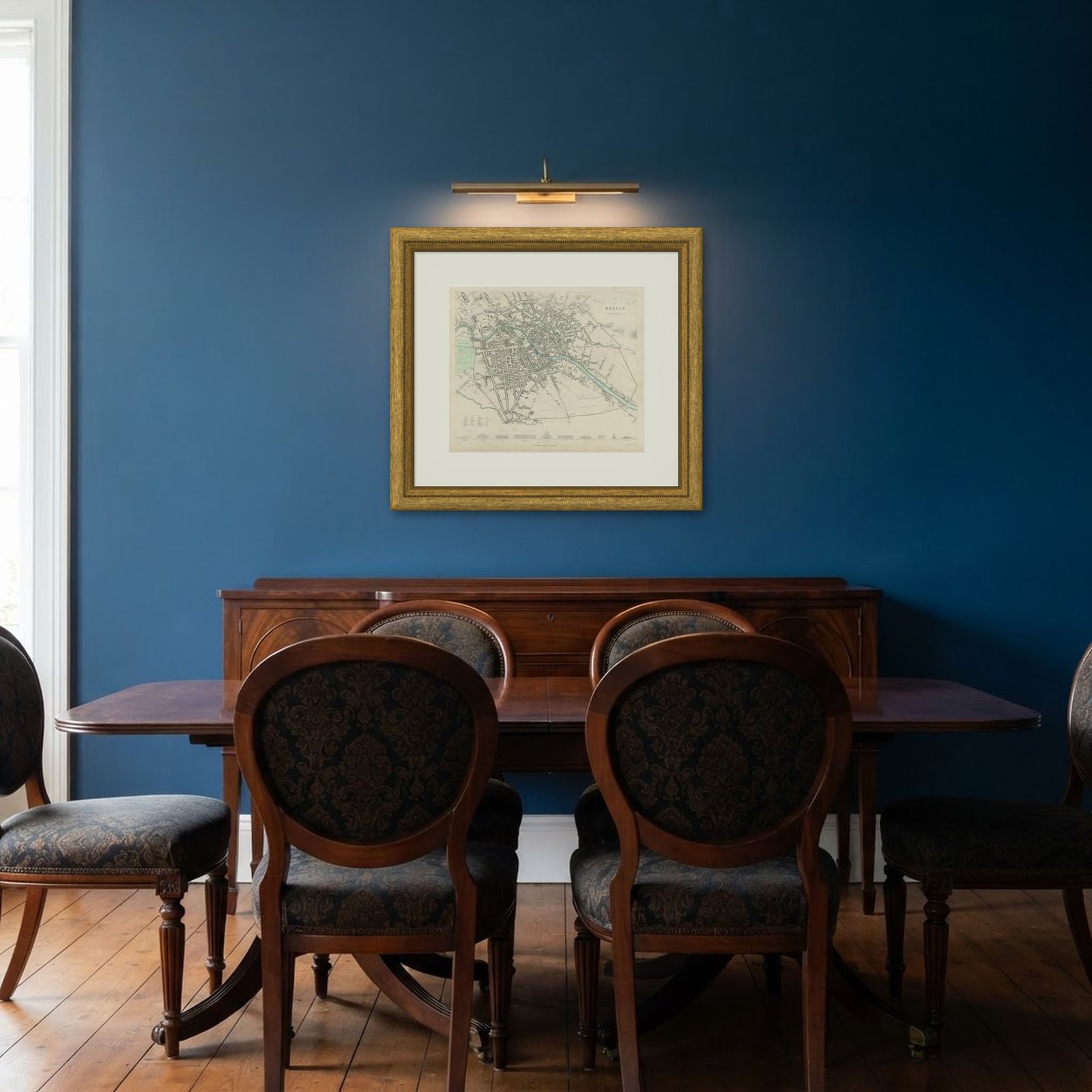 In the room
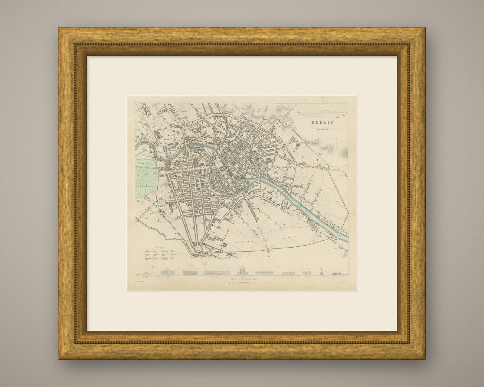
Interior designers: BarTrade members buy at their trade price. How it works
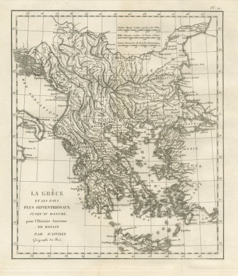
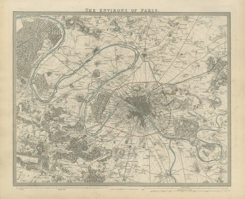
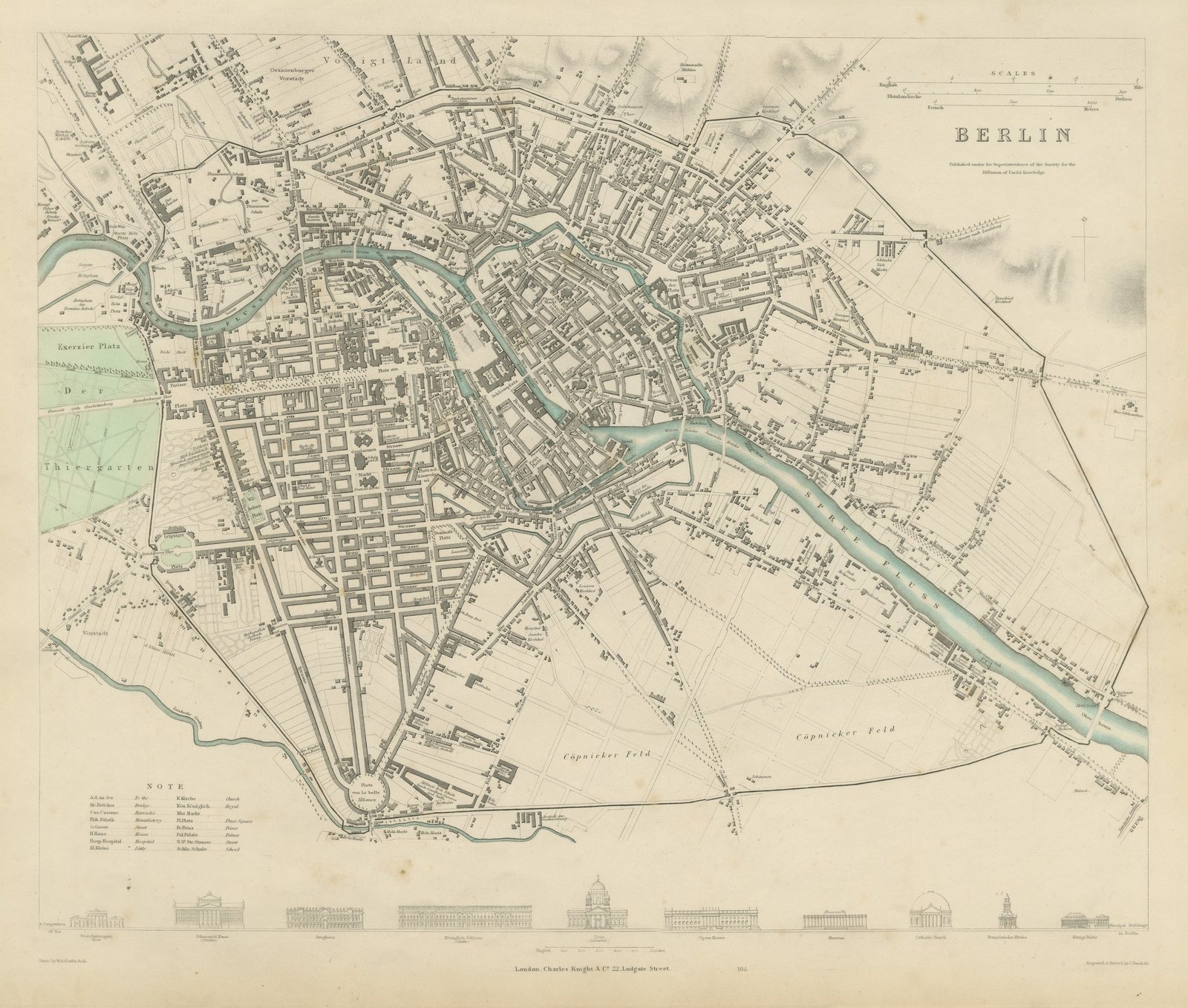
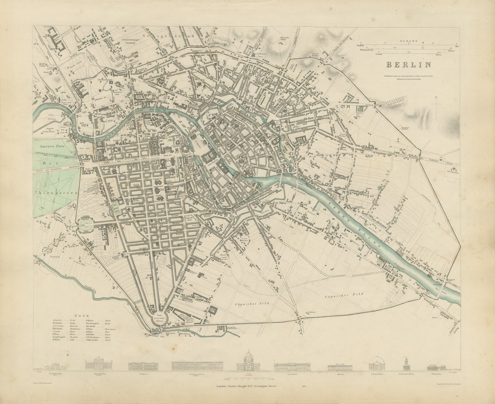
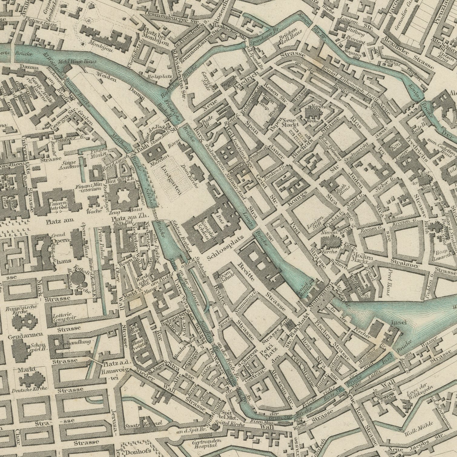
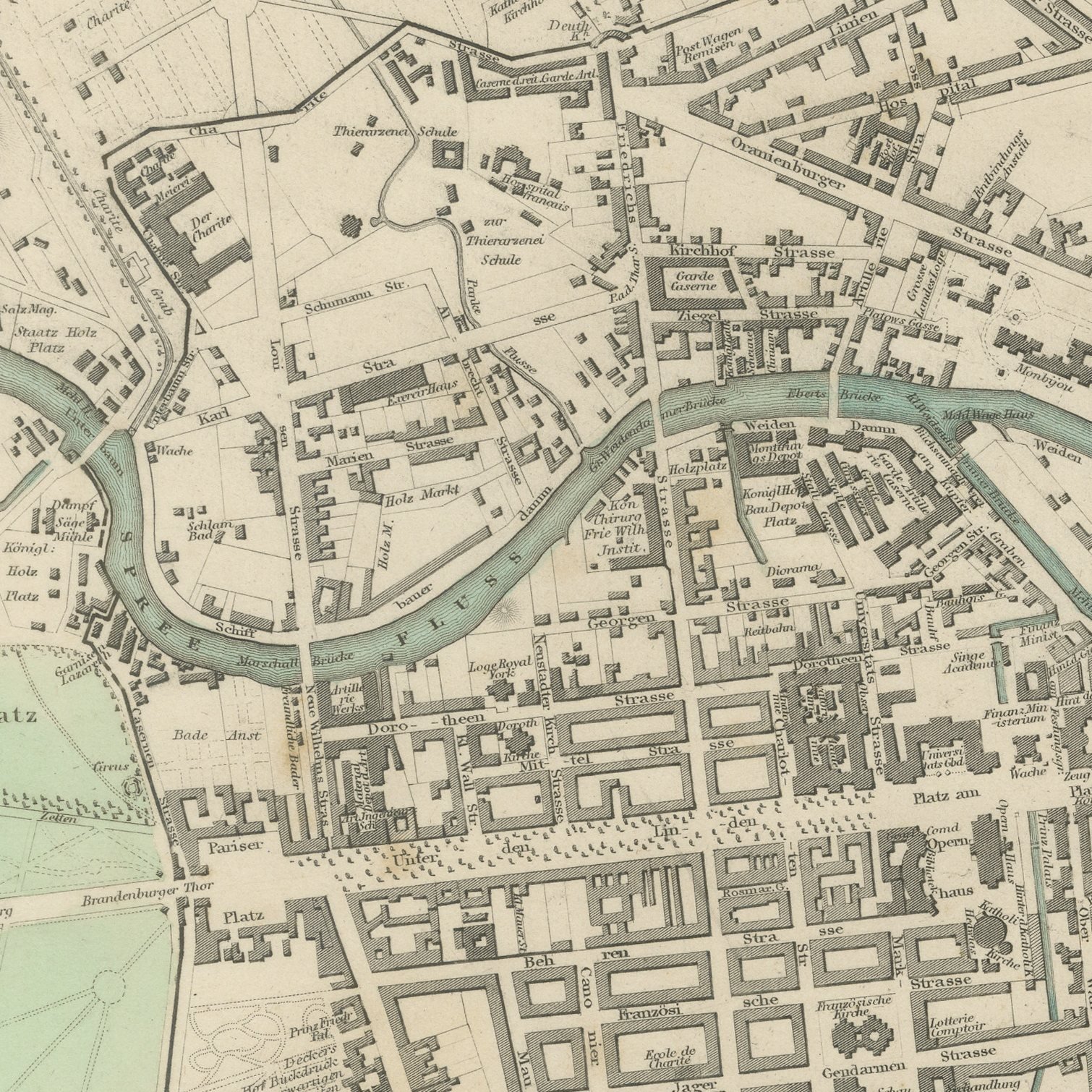
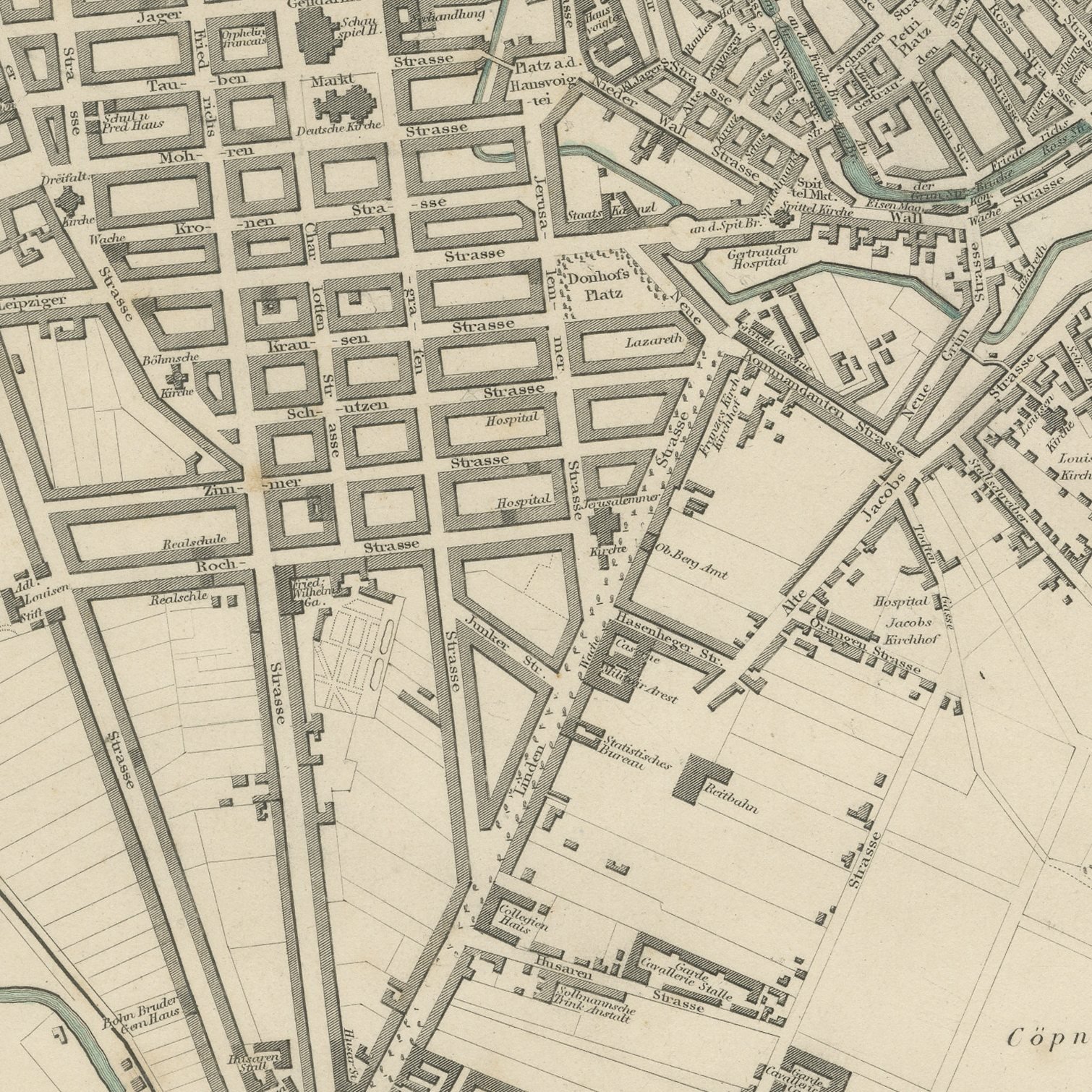
This is an original antique city plan of Berlin, steel engraved and published in the atlas of the Society for the Diffusion of Useful Knowledge. The plan runs from the Tiergarten and the Brandenburg Gate in the west along Unter den Linden to the Royal Palace and the Spree island, with Friedrichstadt laid out in its regular blocks to the south. A band of elevations along the foot compares the principal buildings, among them the Museum, the Opera House and the Garrison Church. The outline and water coloring is original hand color, applied by the publisher before the sheet was bound into the volume.
This is plate number 165 from the third volume of the atlas of the Society for the Diffusion of Useful Knowledge, Plans of Cities, Stars and Index to Places, issued in London by Charles Knight in 1847. The Society's city plans were drawn from the best local surveys the editors could obtain and were corrected for each new edition, which is why they are still used as evidence of what a city looked like. The plate is lettered as drawn by W. B. Clarke and engraved and printed by J. Henshall.
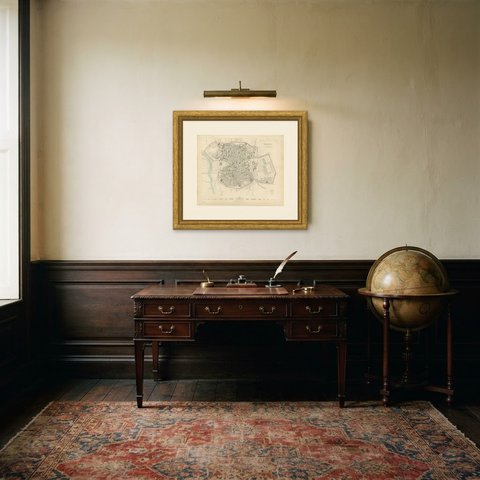
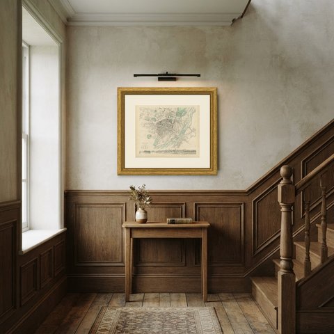
Berlin is caught here as the Prussian royal capital, before the industrial growth of the later century swallowed the fields at its edges, and the sheet still reads cleanly as a street map of the central city. It hangs well in a study or a hallway, where the long sweep of Unter den Linden gives the composition its spine. Framed simply in dark wood or a plain gilt frame it suits a study, a hallway or a dining room, and it is a natural gift for anyone with a tie to the place.
Light uneven toning, browner toward the edges. Handling soiling along all four edges. Scattered light foxing in the margin. All four corners complete.
This is an original antique map, not a modern reproduction. This item is sold unframed.