 The sheet, as you receive it
 On the wall
Interior designers: BarTrade members buy at their trade price. How it works
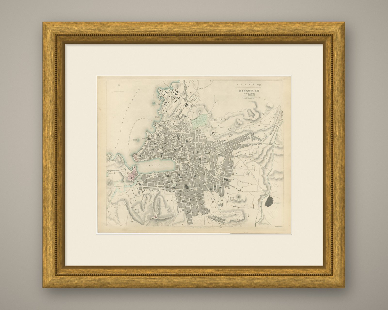
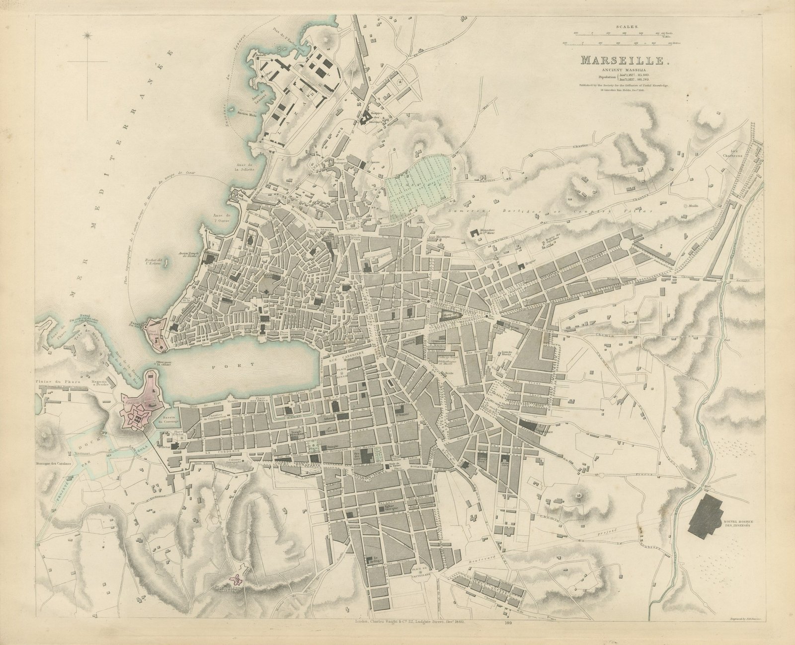
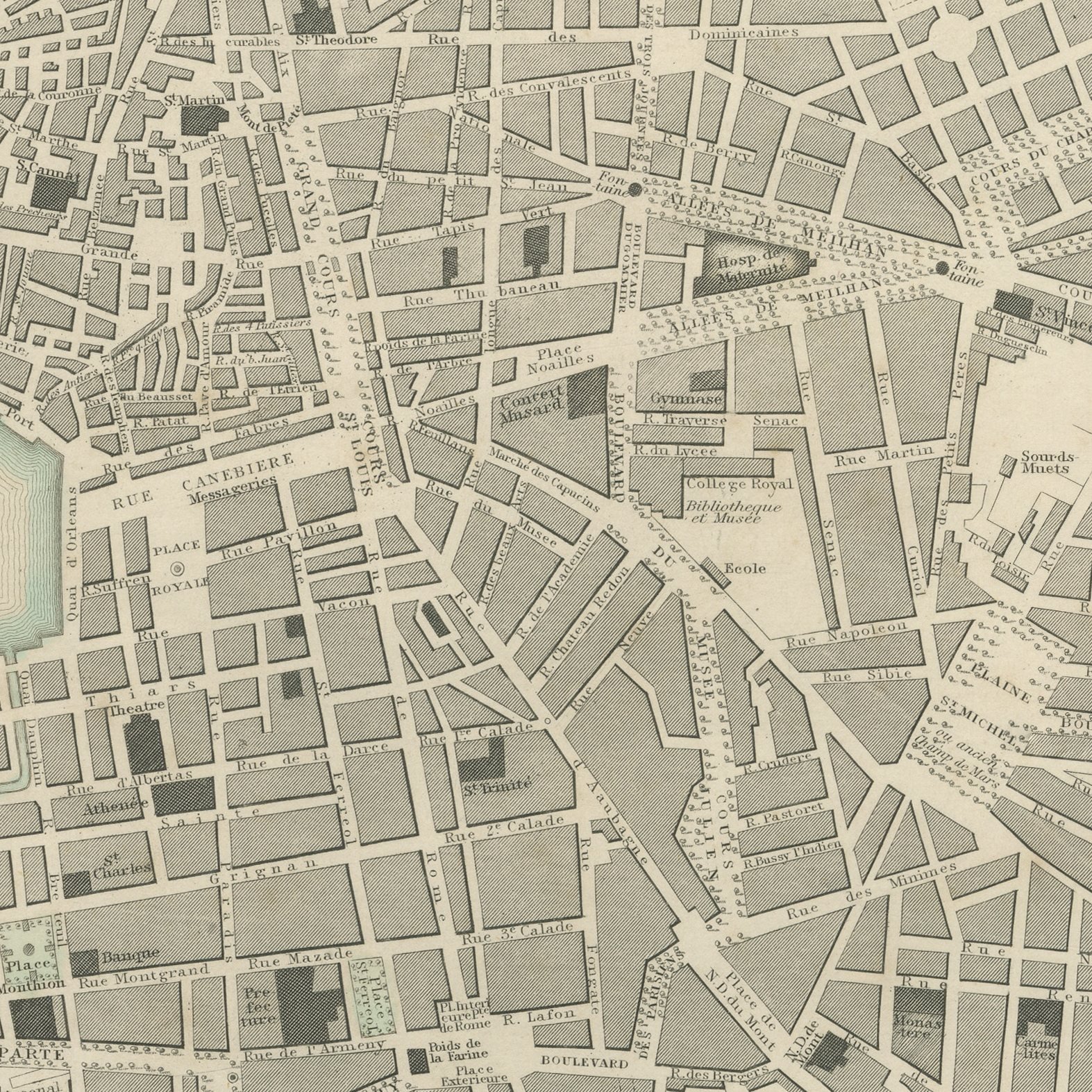
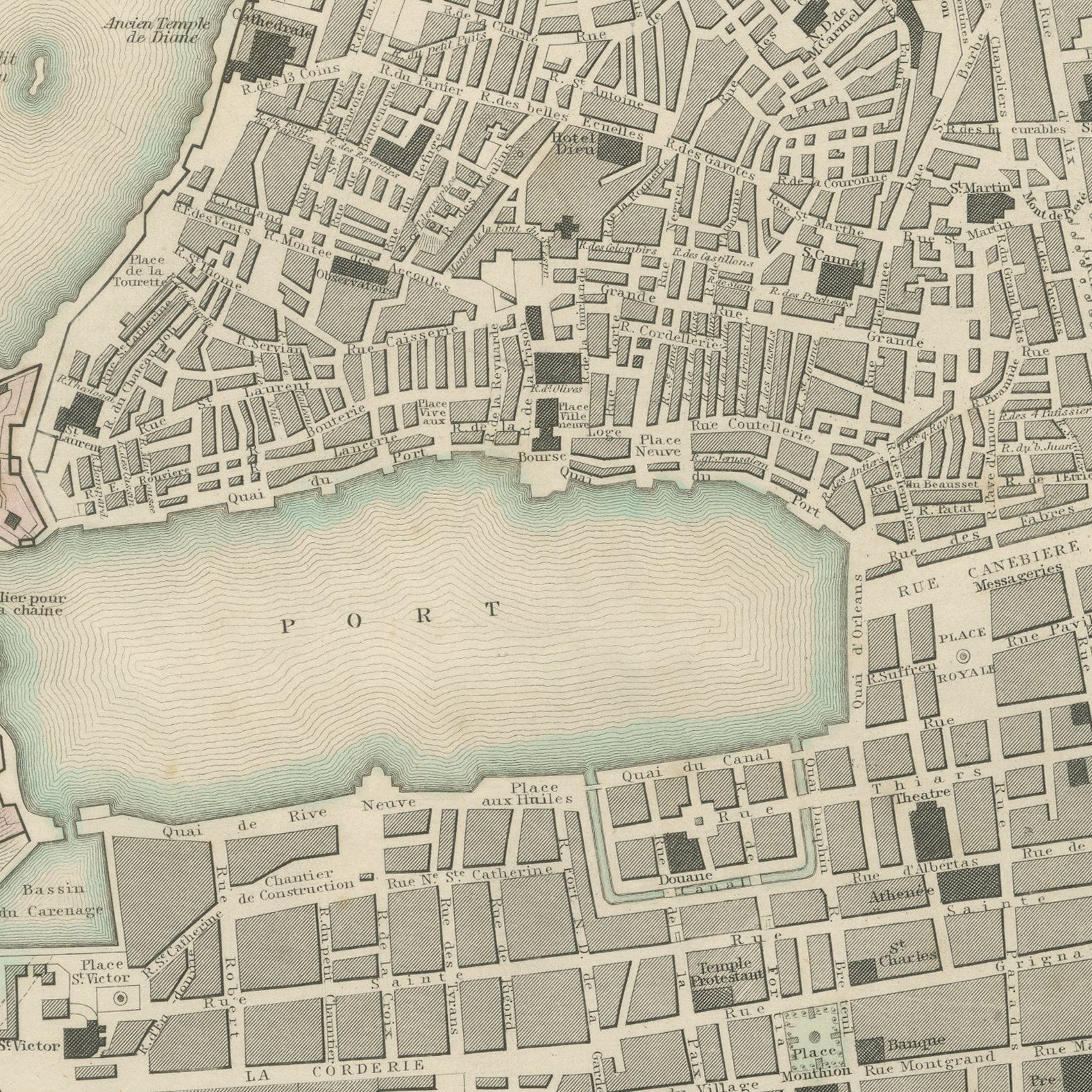
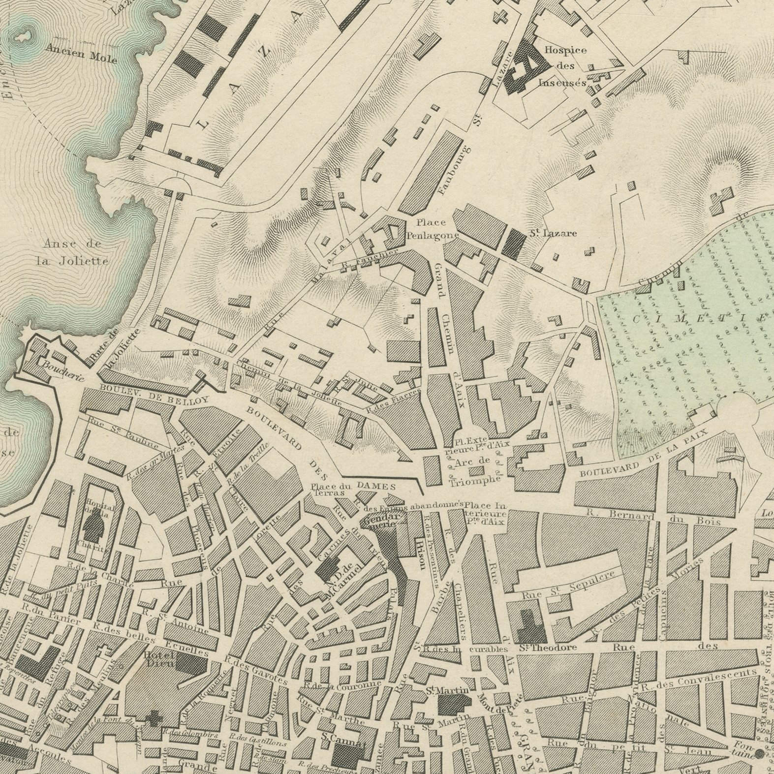
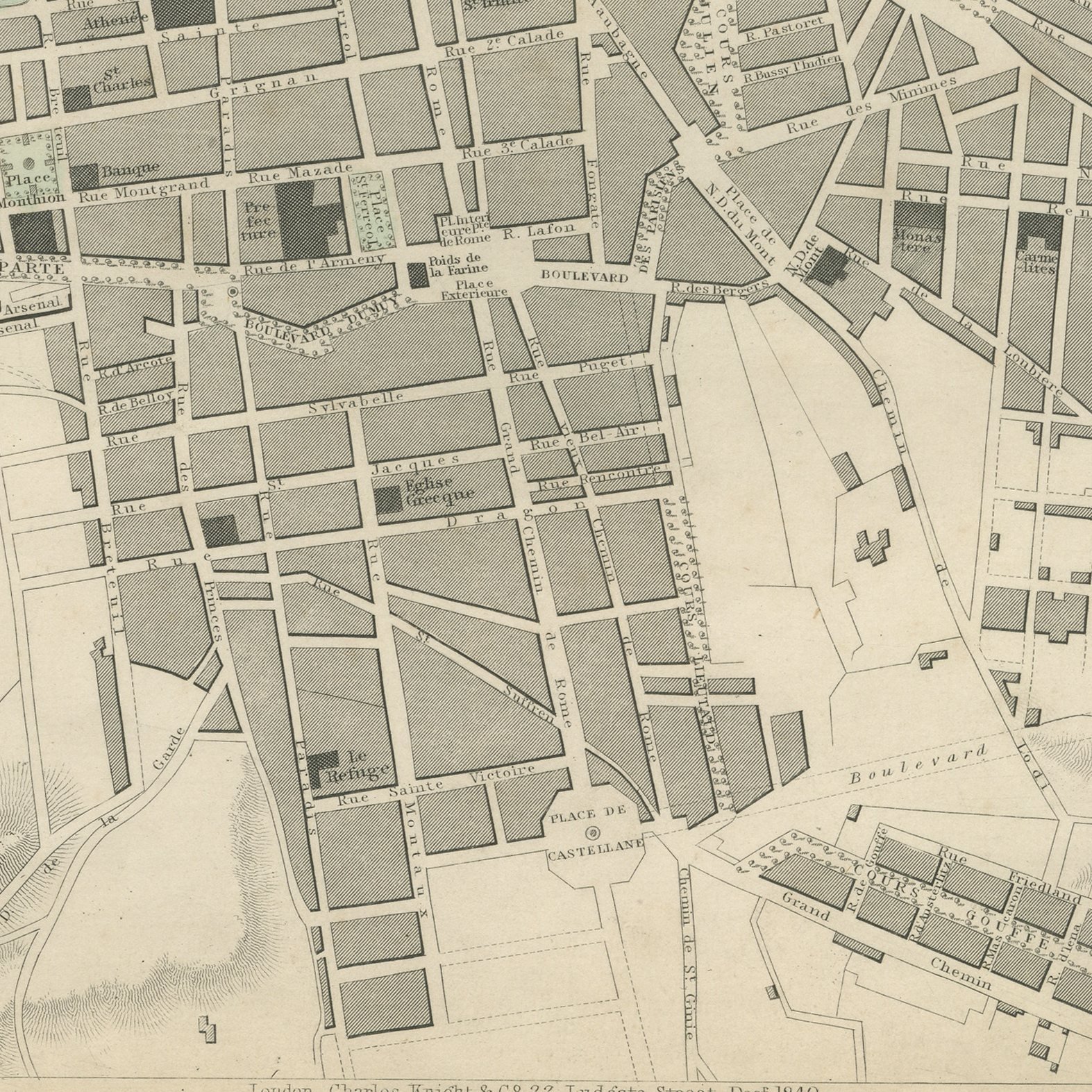
This is an original antique city plan of Marseille, steel engraved and published in the atlas of the Society for the Diffusion of Useful Knowledge. The plan shows the Old Port driven into the city from the west, with Fort Saint Jean and Fort Saint Nicolas guarding its mouth, the Canebiere running inland from the head of the water and the new boulevards laid out in regular blocks to the east. The ancient topography of Massilia is sketched in a note, the population is given for 1827 and 1837, and the imprint dates the sheet to December 1840. The outline and water coloring is original hand color, applied by the publisher before the sheet was bound into the volume.
Plate number 189 of the third volume of the Society's atlas, published in London by Charles Knight and Company at 22 Ludgate Street in 1847 and lettered as a new edition corrected to the present time. The Society was founded in 1826 by Lord Brougham to put reliable knowledge within reach of ordinary readers, and its maps were the most accurate cheap maps then available in English. The plate is lettered as engraved by B. R. Davies.
Marseille was the great Mediterranean port of France and this plan shows it just before the Joliette docks were cut to the north and changed the whole waterfront. The classical note about Massilia gives the sheet a second layer, which is characteristic of the best plans in this series. Framed simply in dark wood or a plain gilt frame it suits a study, a hallway or a dining room, and it is a natural gift for anyone with a tie to the place.
Even age toning. Handling soiling along the bottom and left edges. A few small foxing spots in the margin. Slight wear at the bottom left corner.
This is an original antique map, not a modern reproduction. This item is sold unframed.