 The sheet, as you receive it
 In the room
Interior designers: BarTrade members buy at their trade price. How it works
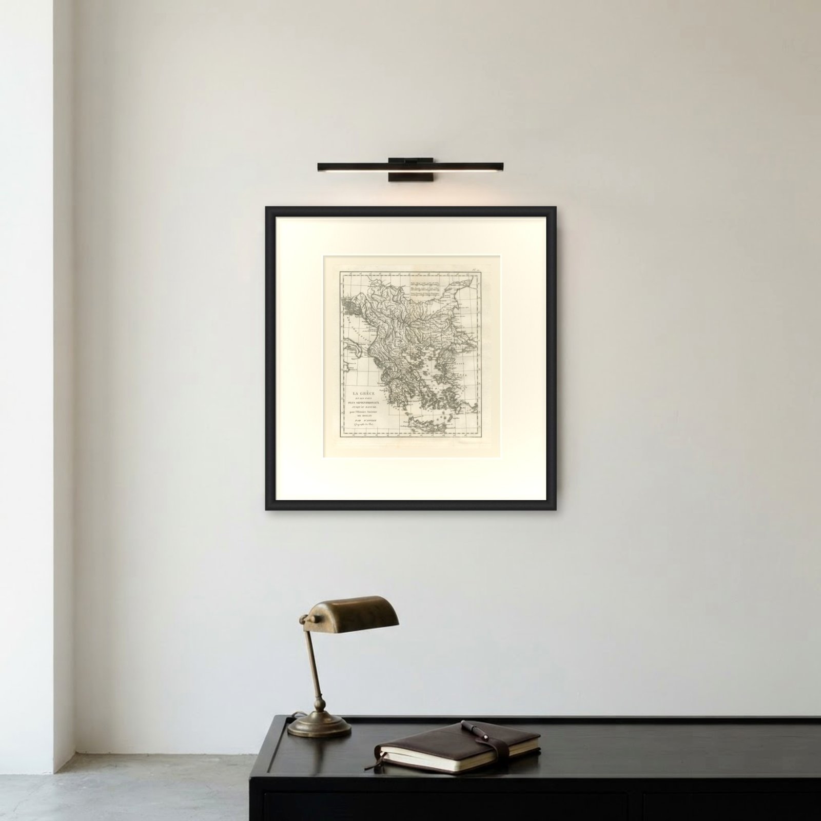
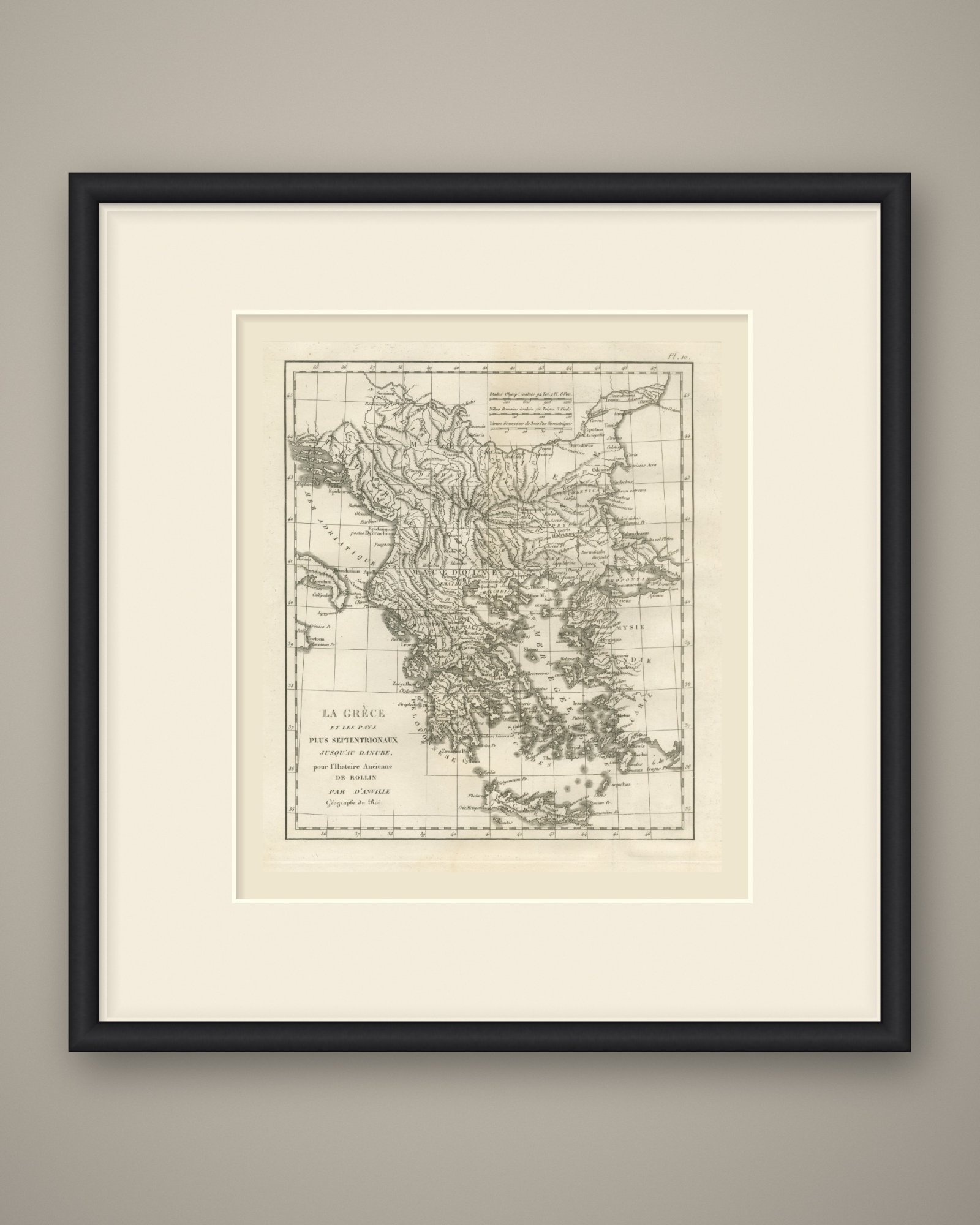
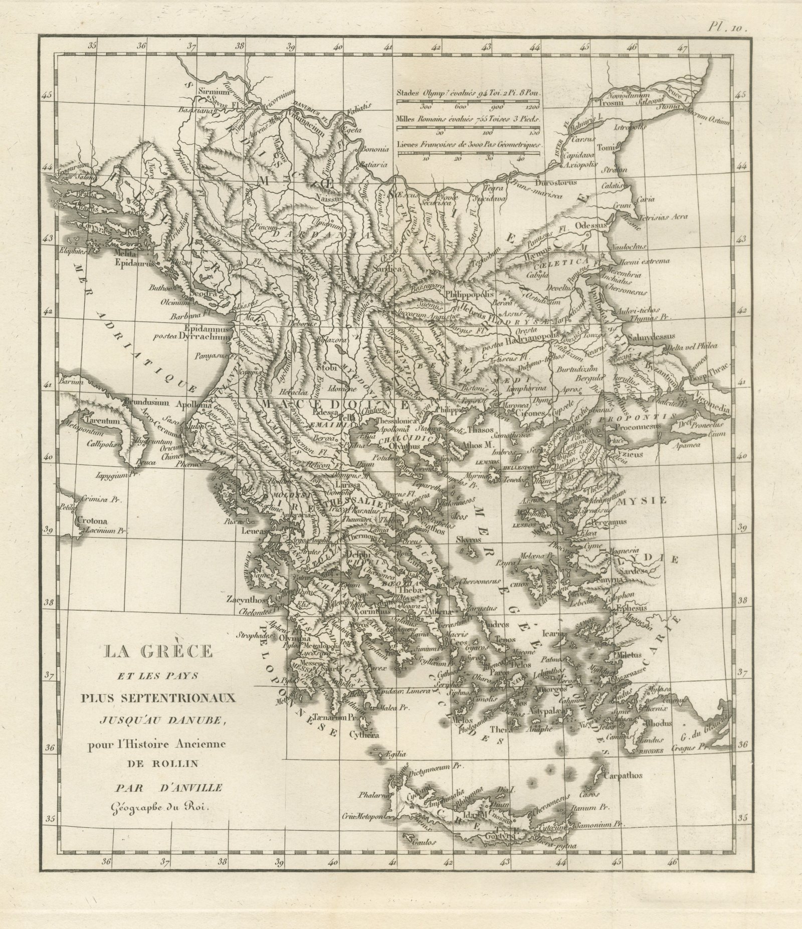
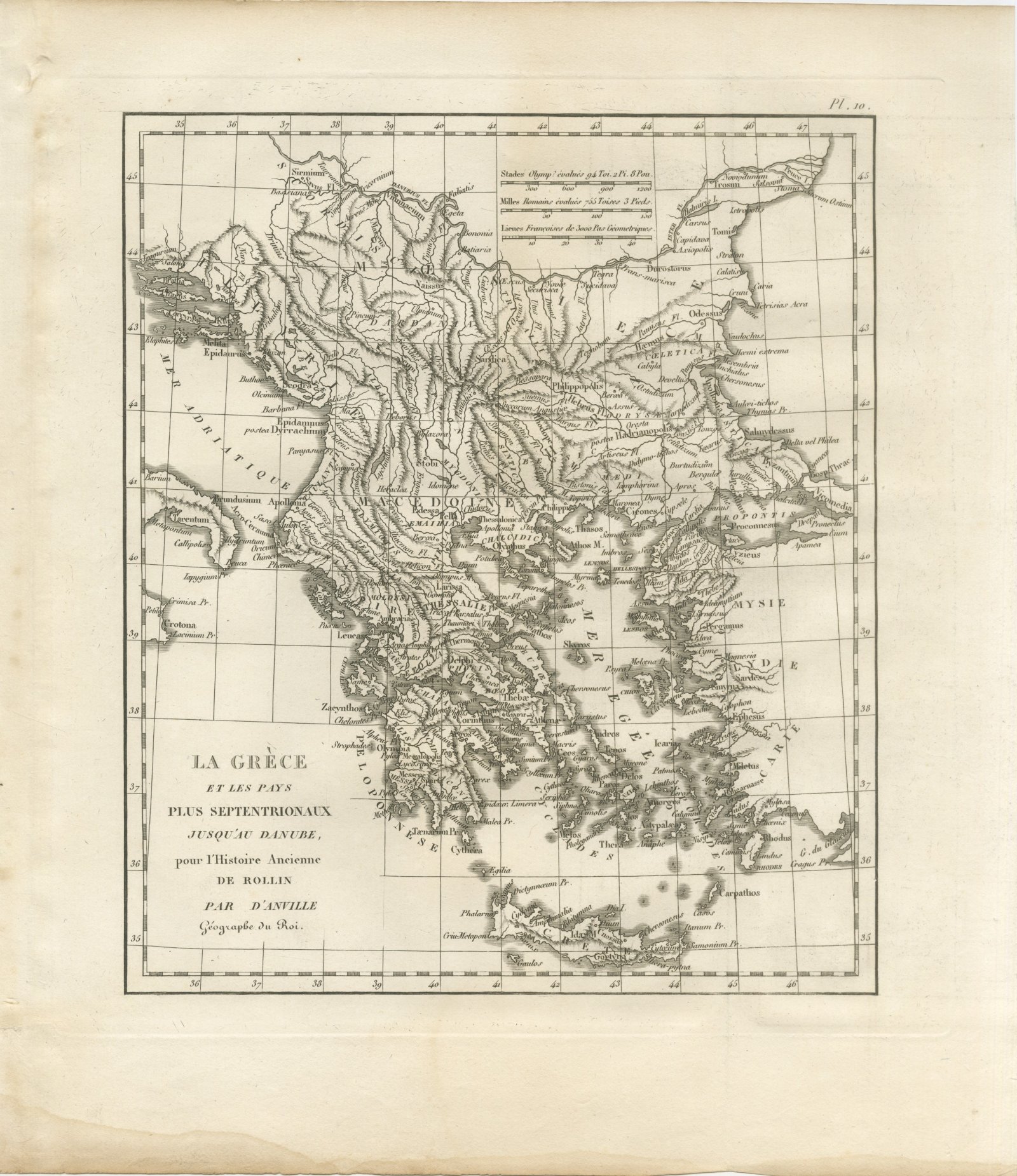
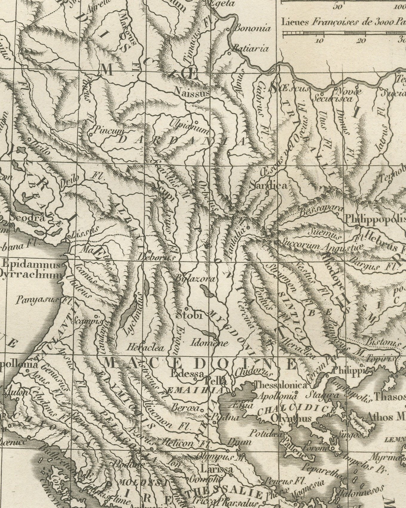
An original copper engraved map, uncolored, of ancient Greece and the lands north of it as far as the Danube. The map runs from the heel of Italy and the Adriatic coast on the west to the Propontis and the western coast of Asia Minor on the east, and from the Danube, lettered Danubius Fl. upstream and Ister Fl. near its mouths, south to Crete. Macedonia, Thessaly and the Peloponnese are lettered in French, with Sirmium, Naissus, Sardica, Philippopolis and Odessus to the north, Byzantium on the Bosporus, and Thessalonica, Pella, Larissa, Delphi, Thebae, Athenae, Corinthus, Sparta and Olympia in Greece itself. The Aegean, lettered Mer Egée, carries Thasos, Lemnos, Lesbos, Chios and the Cyclades; Mysia, Lydia and Caria close the eastern edge with Pergamus, Smyrna, Ephesus and Miletus.
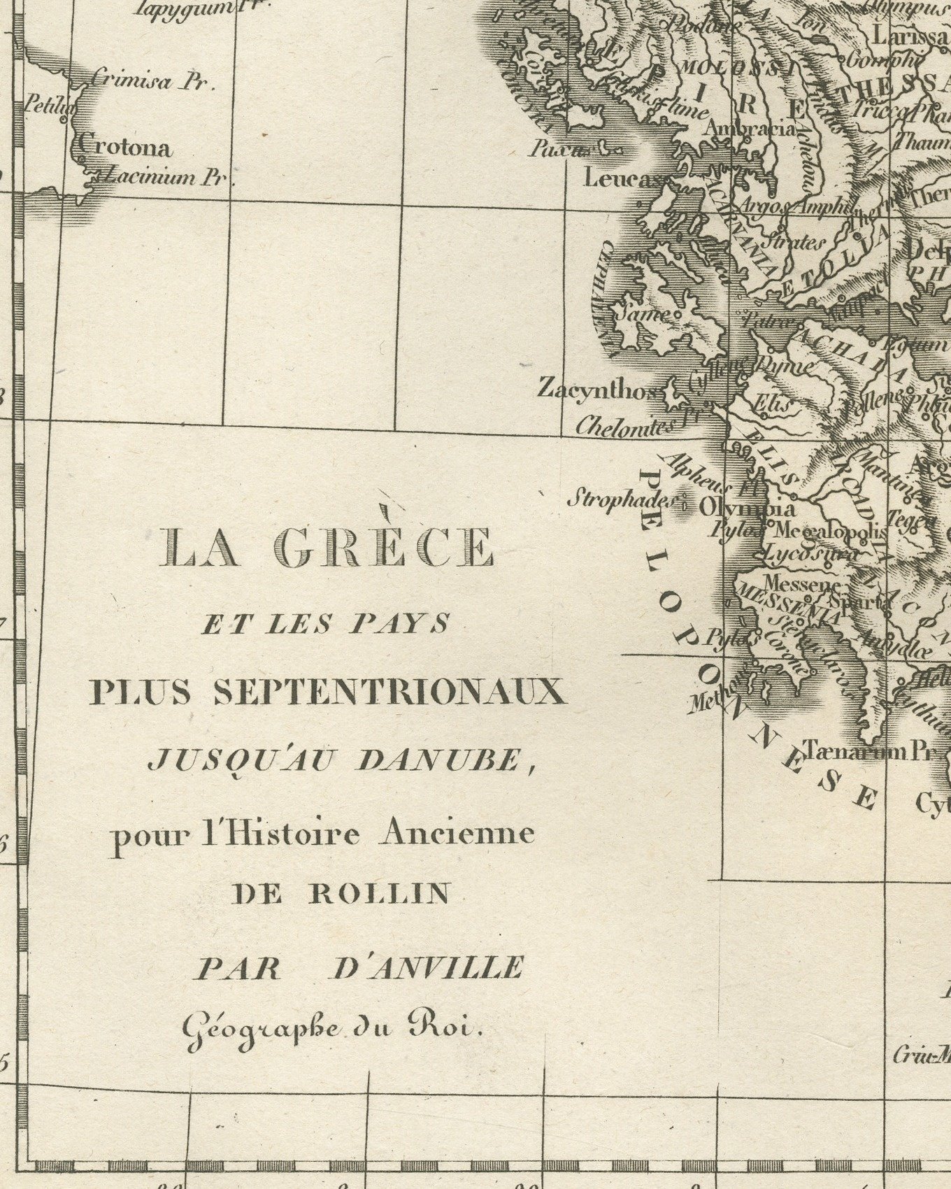
The cartouche at lower left reads La Grèce et les pays plus septentrionaux jusqu'au Danube, pour l'Histoire Ancienne de Rollin, par d'Anville, Géographe du Roi. The plate is numbered Pl. 10 above the upper right corner of the border. Three scale bars stand at the top of the map: Stades Olymp. évalués 94 Toi. 2 Pi. 8 Pou., Milles Romains évalués 755 Toises 3 Pieds. and Lieues Françoises de 3000 Pas Géometriques. The graticule is numbered in degrees on all four sides. This is a single sheet with no center fold.
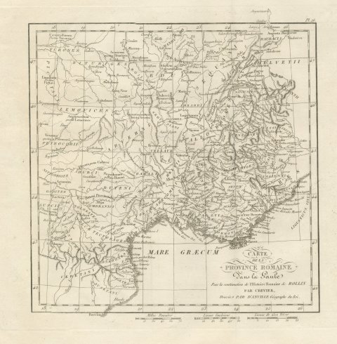
The plate comes from the Atlas de Géographie Ancienne, published in Paris in 1818 by Ledoux et Tenré and printed by Didot le jeune to accompany the works of Charles Rollin (1661 to 1741), the French historian, author of the Histoire ancienne and the Histoire romaine. Its maps are engraved after the originals of Jean-Baptiste Bourguignon d'Anville (1697 to 1782). In the foreword, signed by Ambroise Tardieu, géographe-graveur, Tardieu writes that the maps were copied with religious fidelity and that, charged with reviewing the proofs, he corrected only negligences and faults of execution. The map serves the Greek chapters of Rollin's ancient history, from the Greek mainland and islands to Macedonia and Thrace.
This is an original antique map, not a modern reproduction. This item is sold unframed.