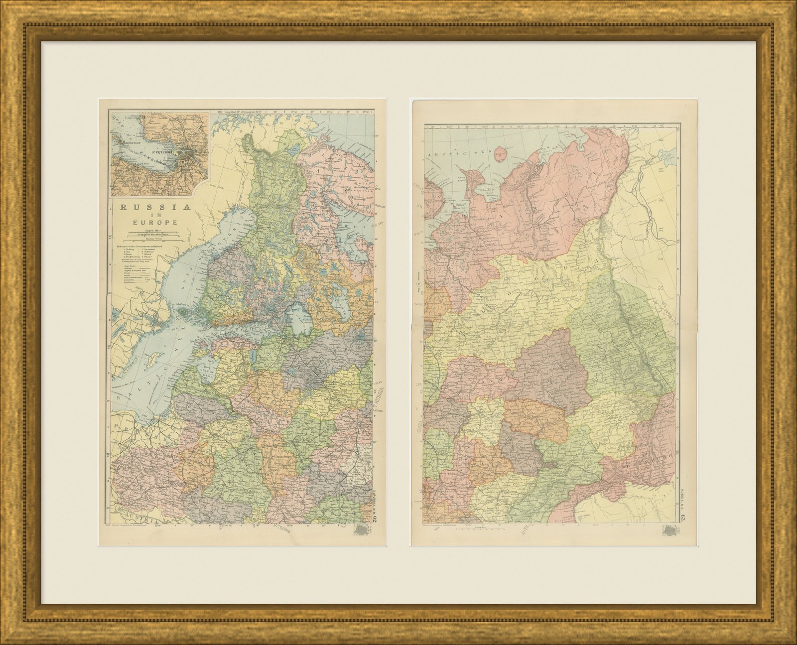
 The sheet, as you receive it
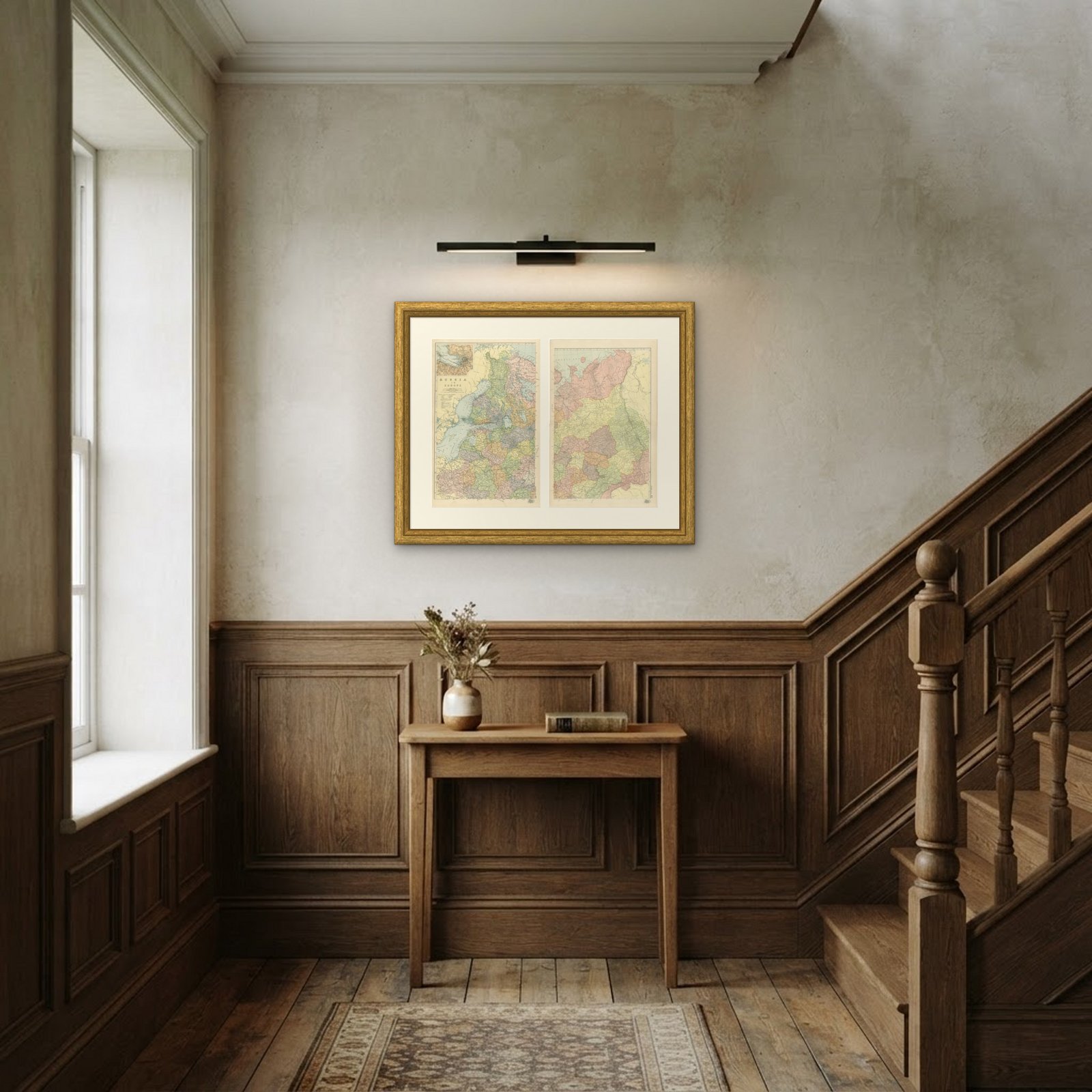 In the room 1
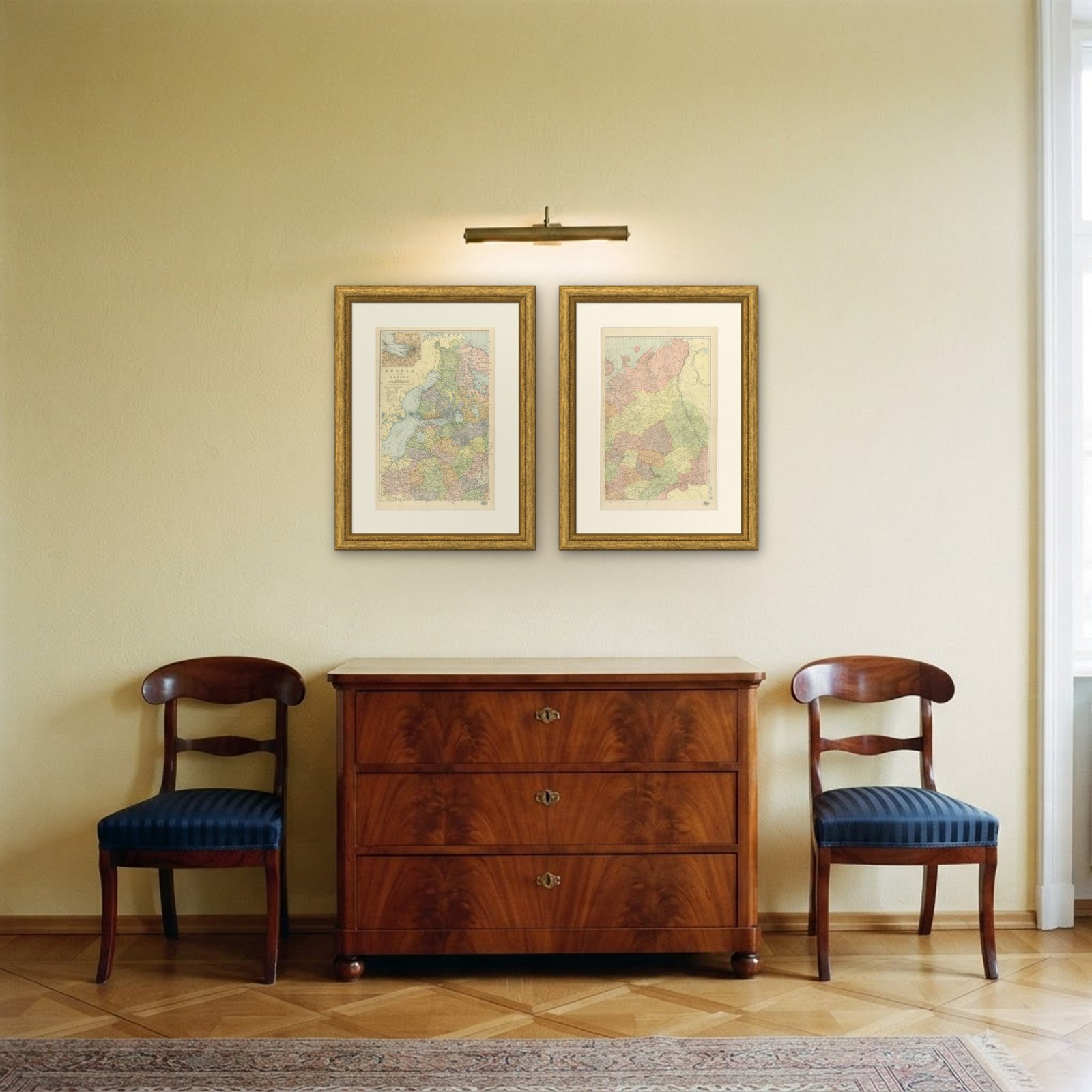
Interior designers: BarTrade members buy at their trade price. How it works
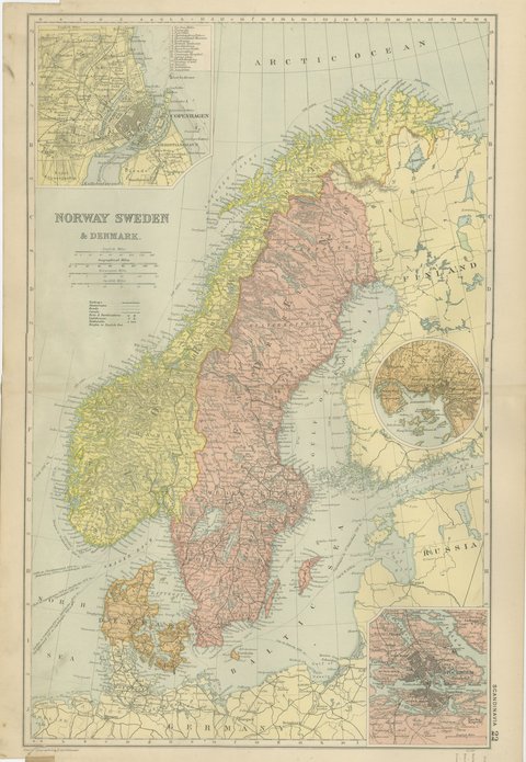
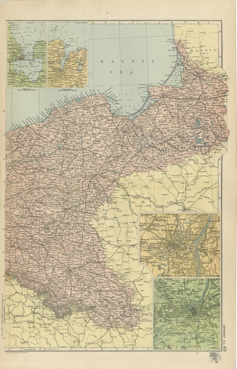
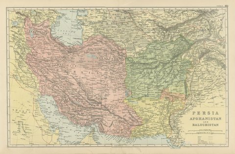
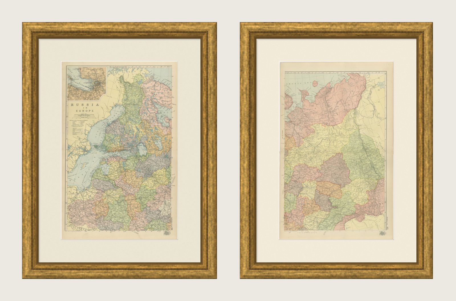
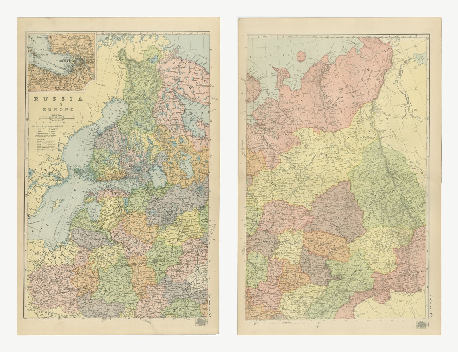
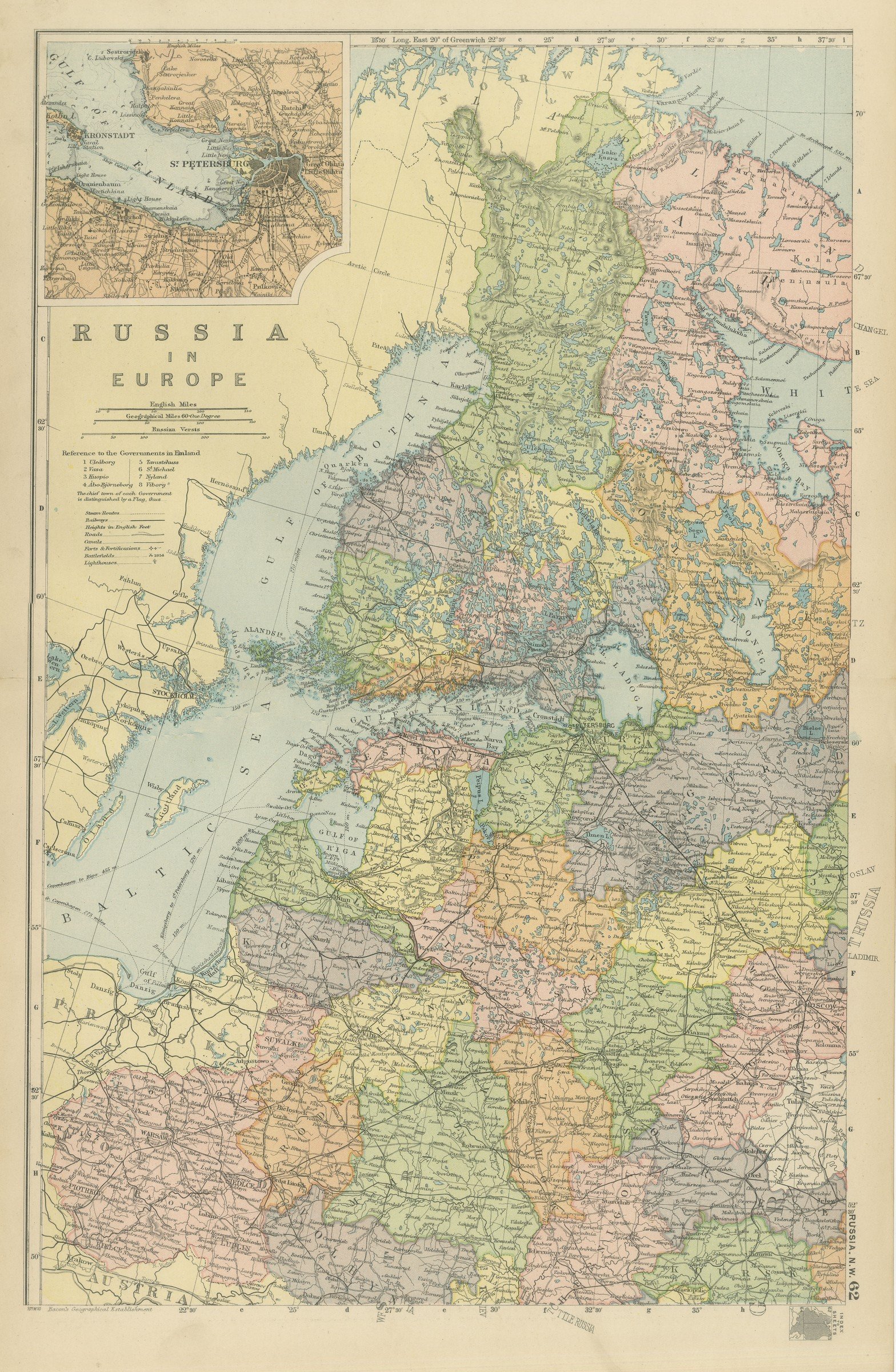
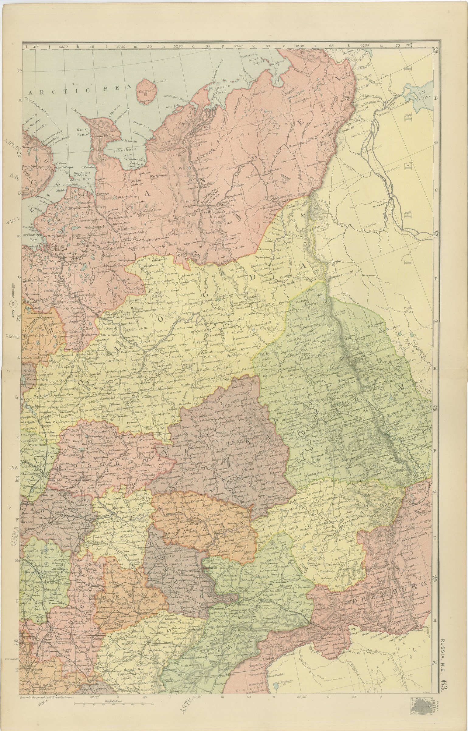
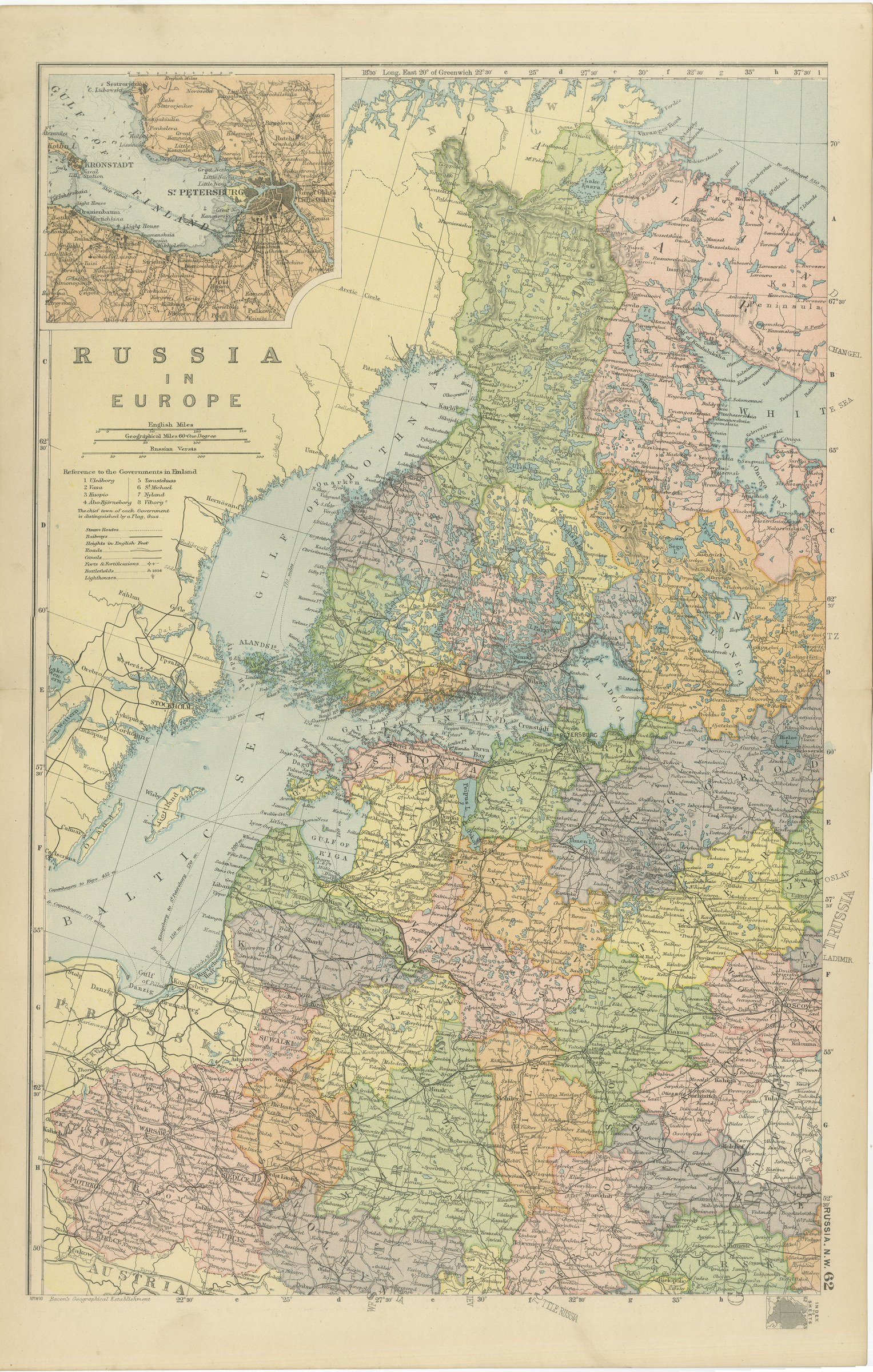
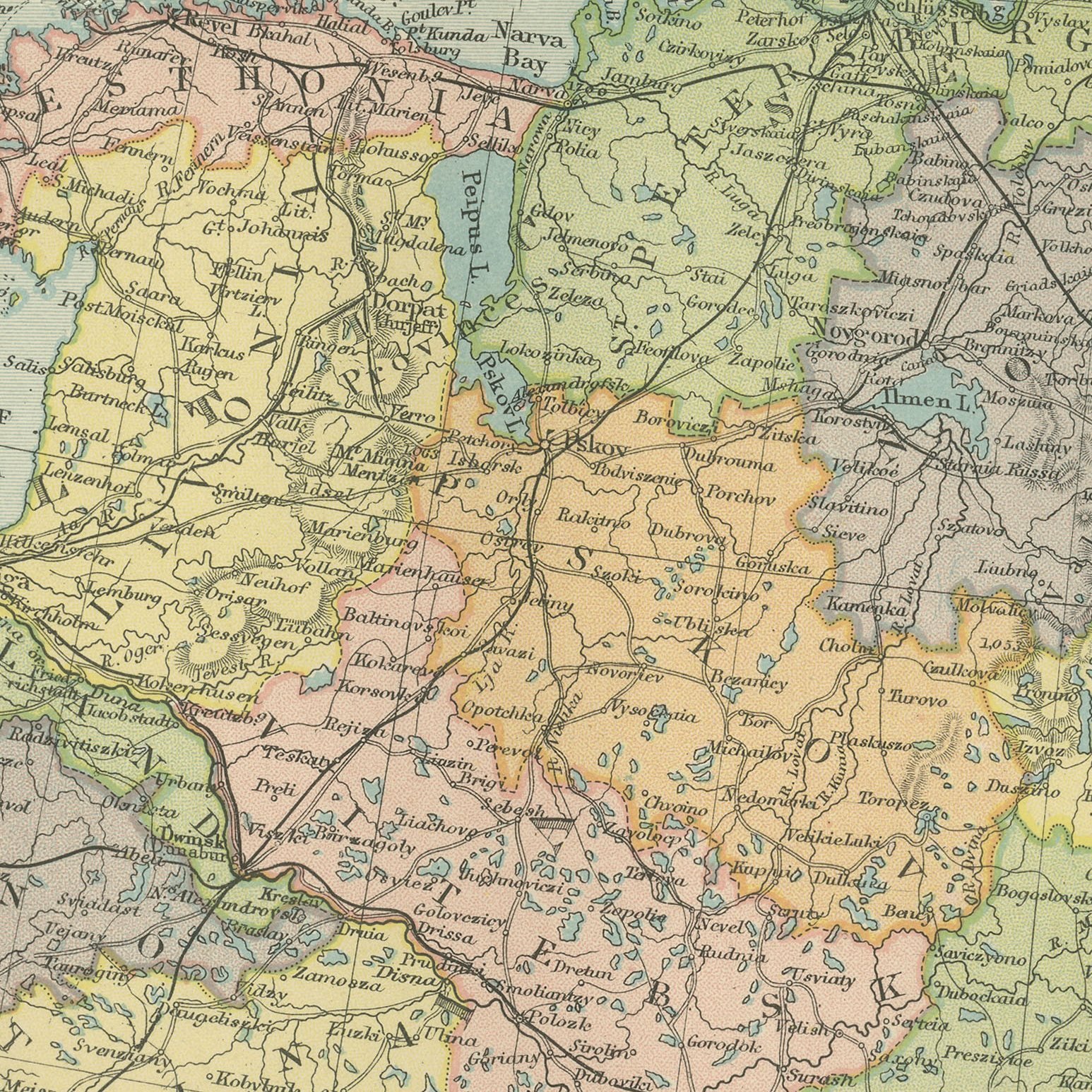
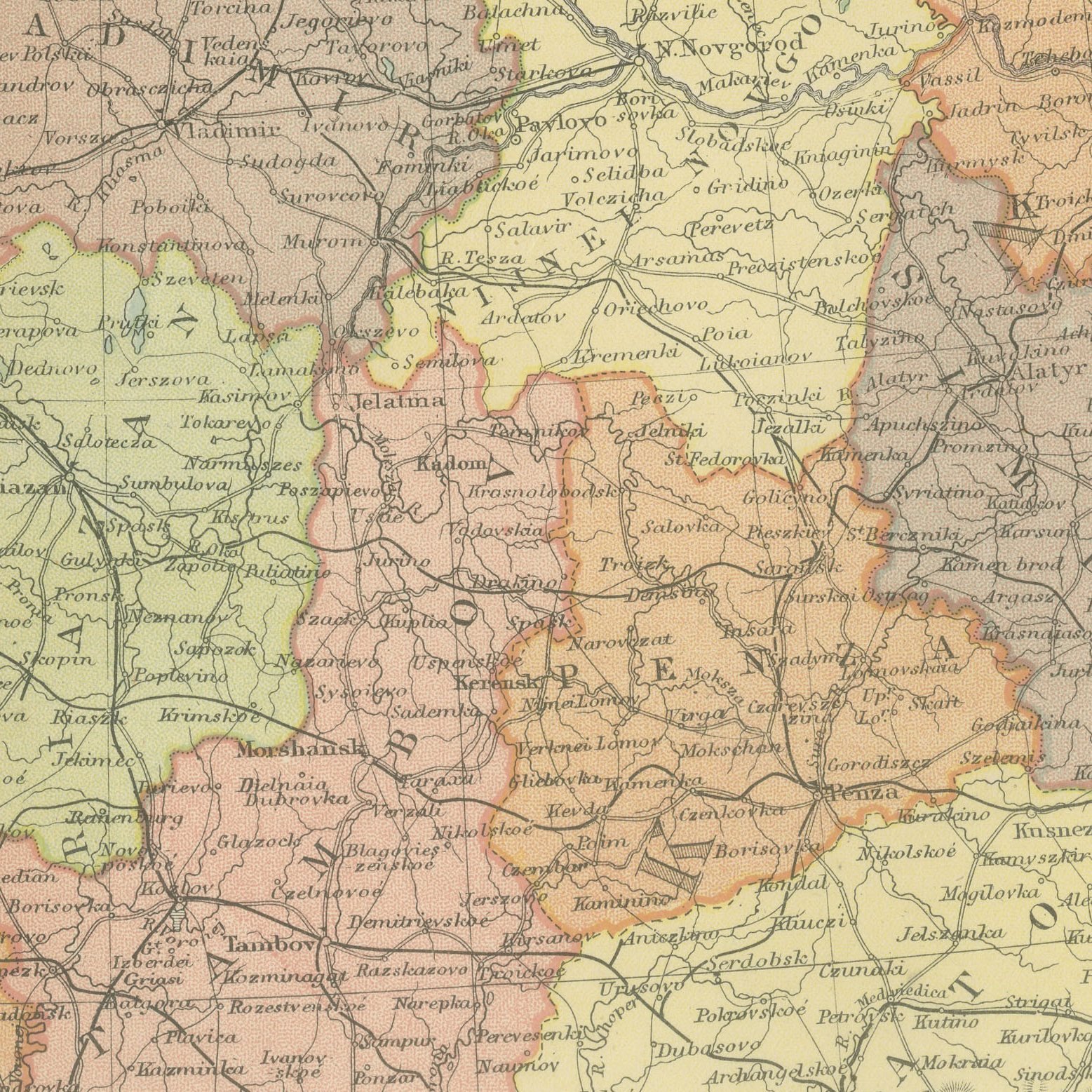
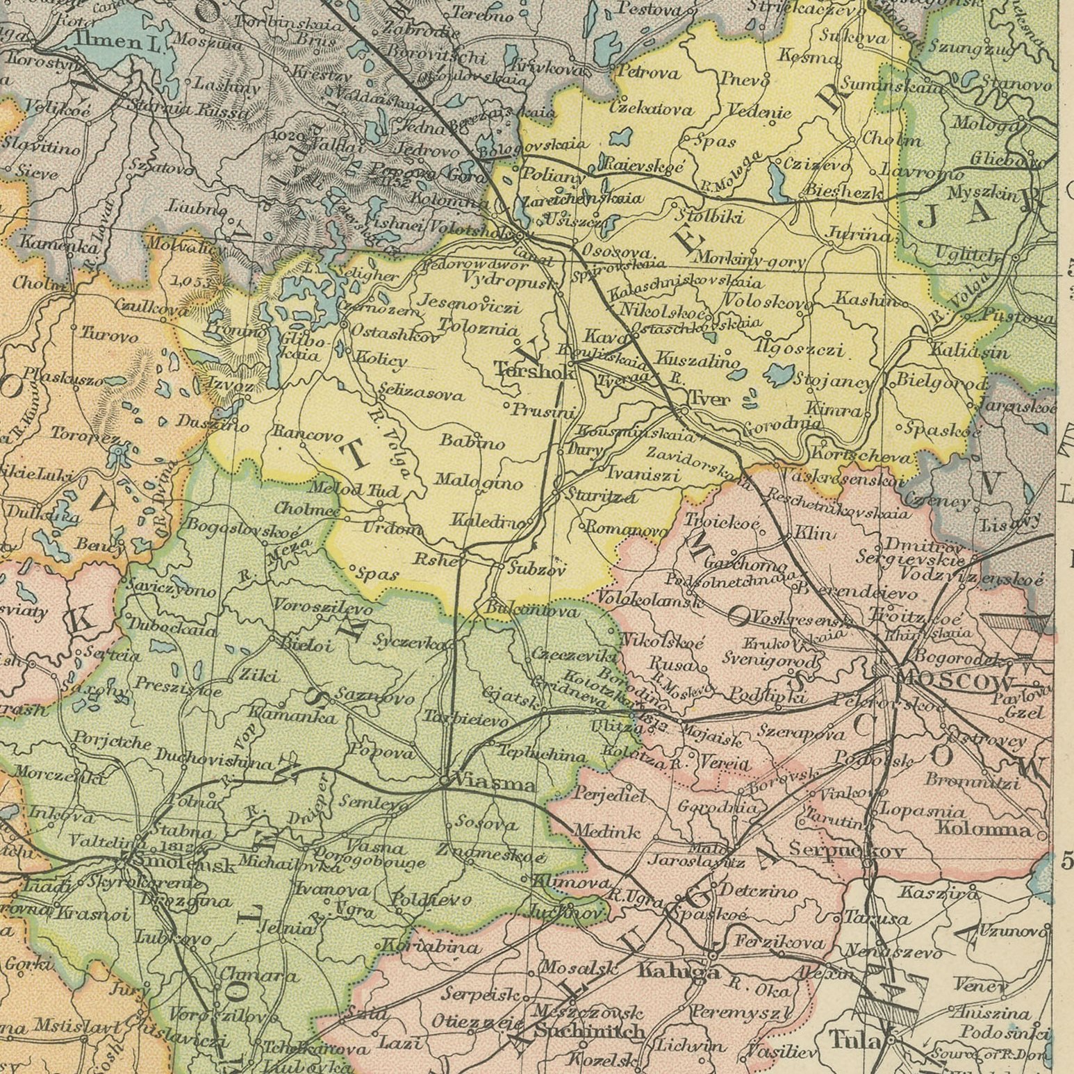
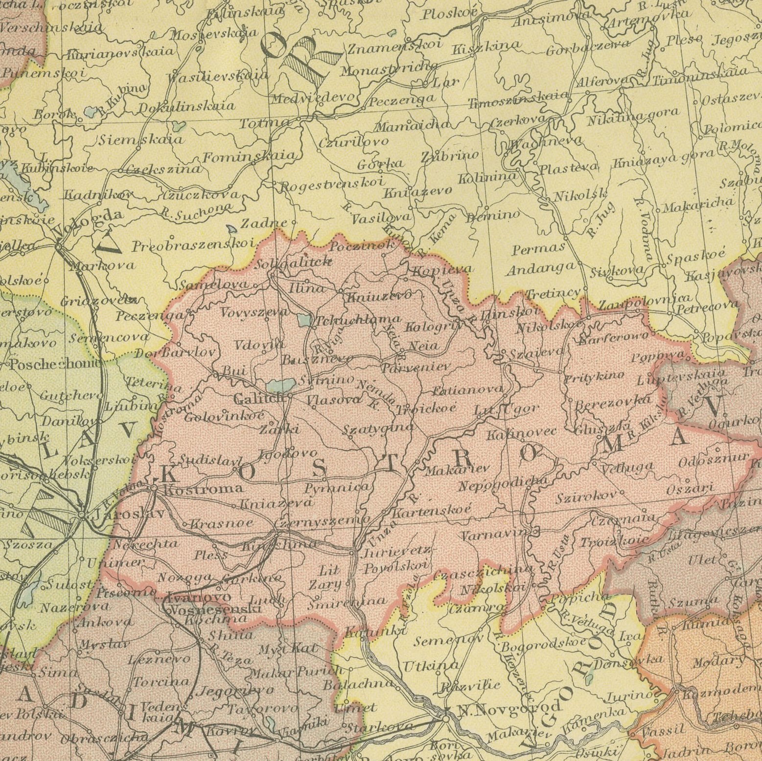
Two original antique maps that join to form the northern half of Russia in Europe, color printed in London in 1898 for G. W. Bacon's Commercial and Library Atlas of the World. These are two original sheets sold together as one set and are not offered separately. The western sheet carries the Grand Duchy of Finland, the Baltic governments, Poland and the capital, with an inset plan of Saint Petersburg and the naval fortress of Kronstadt; the eastern sheet continues from the White Sea and Archangel across Vologda and Vyatka to Perm and the Ural mountains. Every government is separately colored.
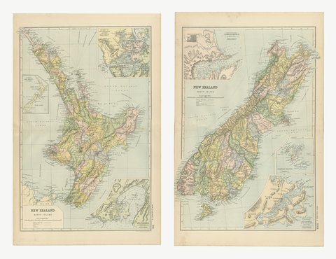
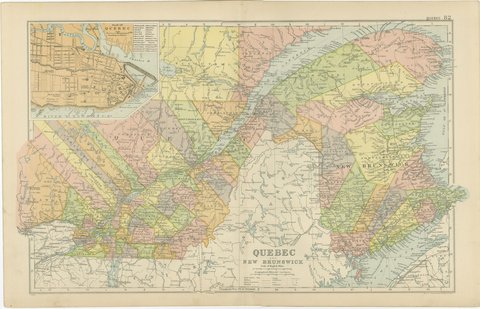
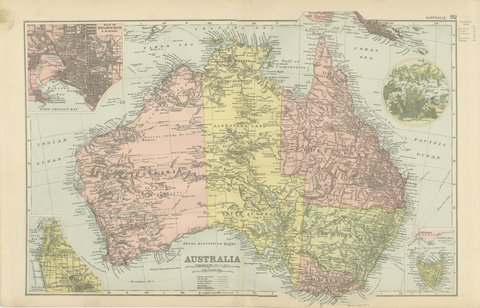
This map was issued in the Commercial and Library Atlas of the World, published by G. W. Bacon and Company, Limited, London, in 1898. Bacon's house built its reputation on large, densely lettered commercial maps rather than on decorative cartography, and this atlas was its reference volume: one hundred double page maps and one hundred insets, each carrying the railways, steamer routes, submarine cables and administrative boundaries that a trading nation wanted at the end of the nineteenth century.
The two sheets join along the meridian east of Moscow, so each alone stops in the middle of the empire. Together they are a complete administrative map of imperial Russia north of the steppe, with Finland as the autonomous grand duchy it remained until 1917 and Poland shown as the Vistula governments. The Kronstadt inset maps the sea defenses of the capital in detail. For family research in the Baltic provinces or Russian Poland the government and district names on these two sheets are the ones the old records use.
Two sheets, both age toned. The paper darker along the edges of both. Handling wear to the corners of both. The printed images are clean.
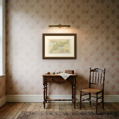
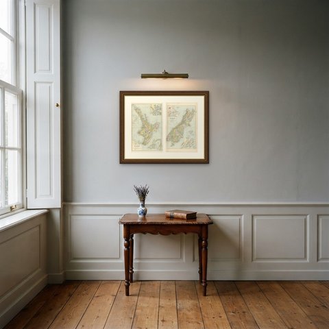
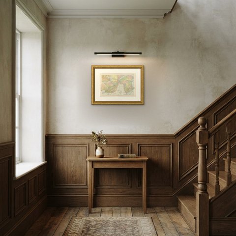
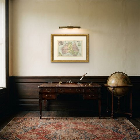
Framed simply, a sheet of this size holds a wall on its own, and the clear color printing reads well across a room. It suits a study, a library, an office or a hallway, and it is an easy gift for anyone with a connection to the place it shows. These are original antique maps, not modern reproductions. This item is sold unframed.