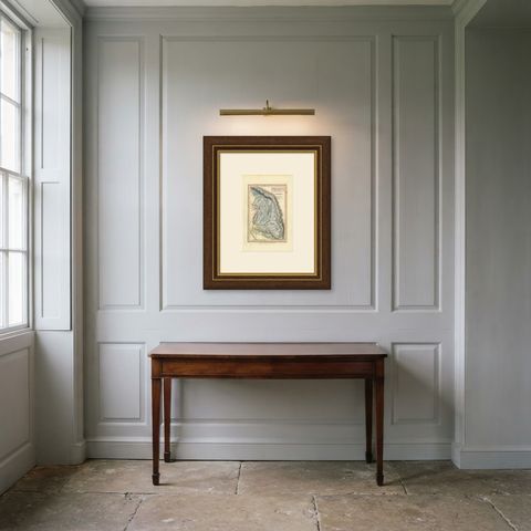
 The sheet, as you receive it
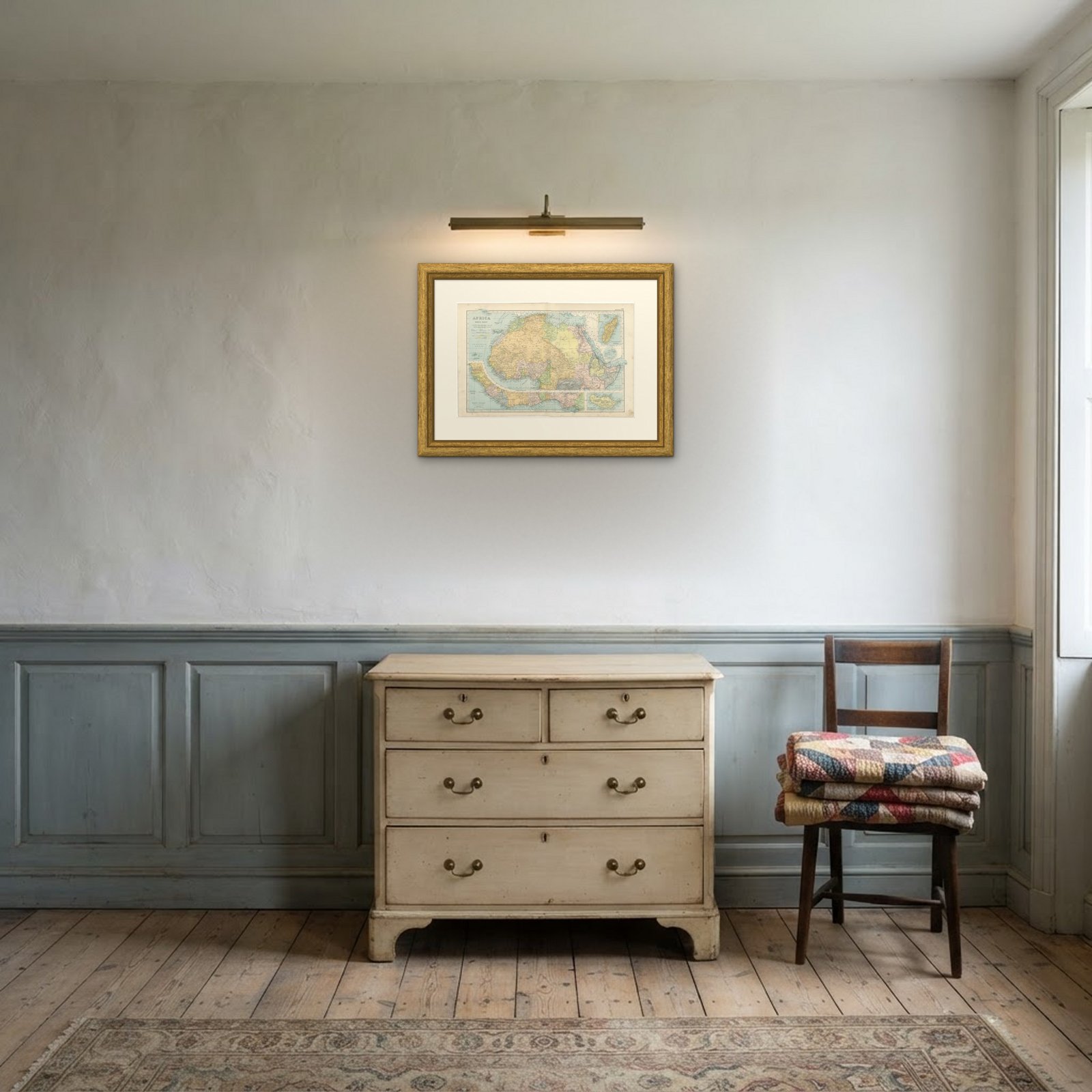 In the room
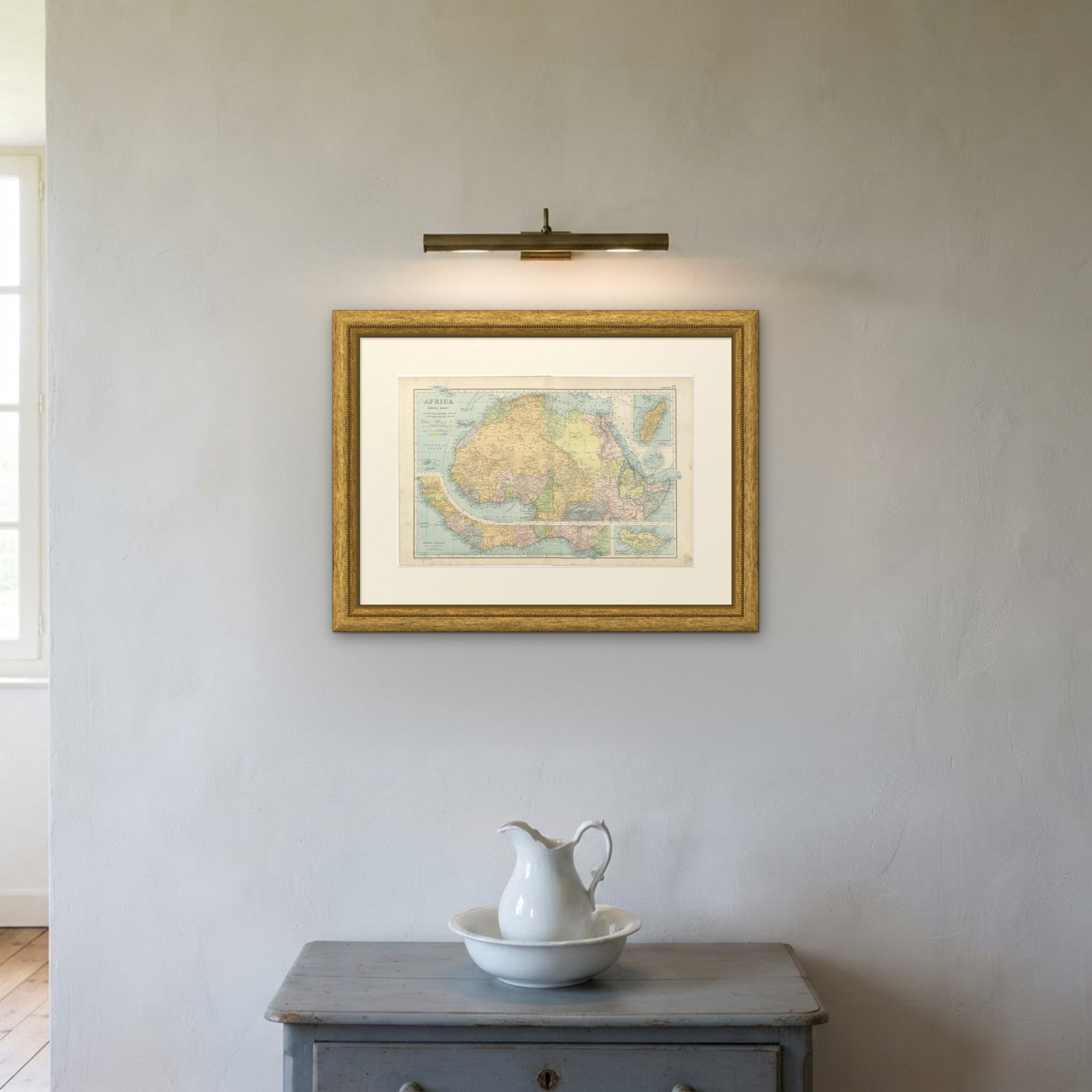

Interior designers: BarTrade members buy at their trade price. How it works
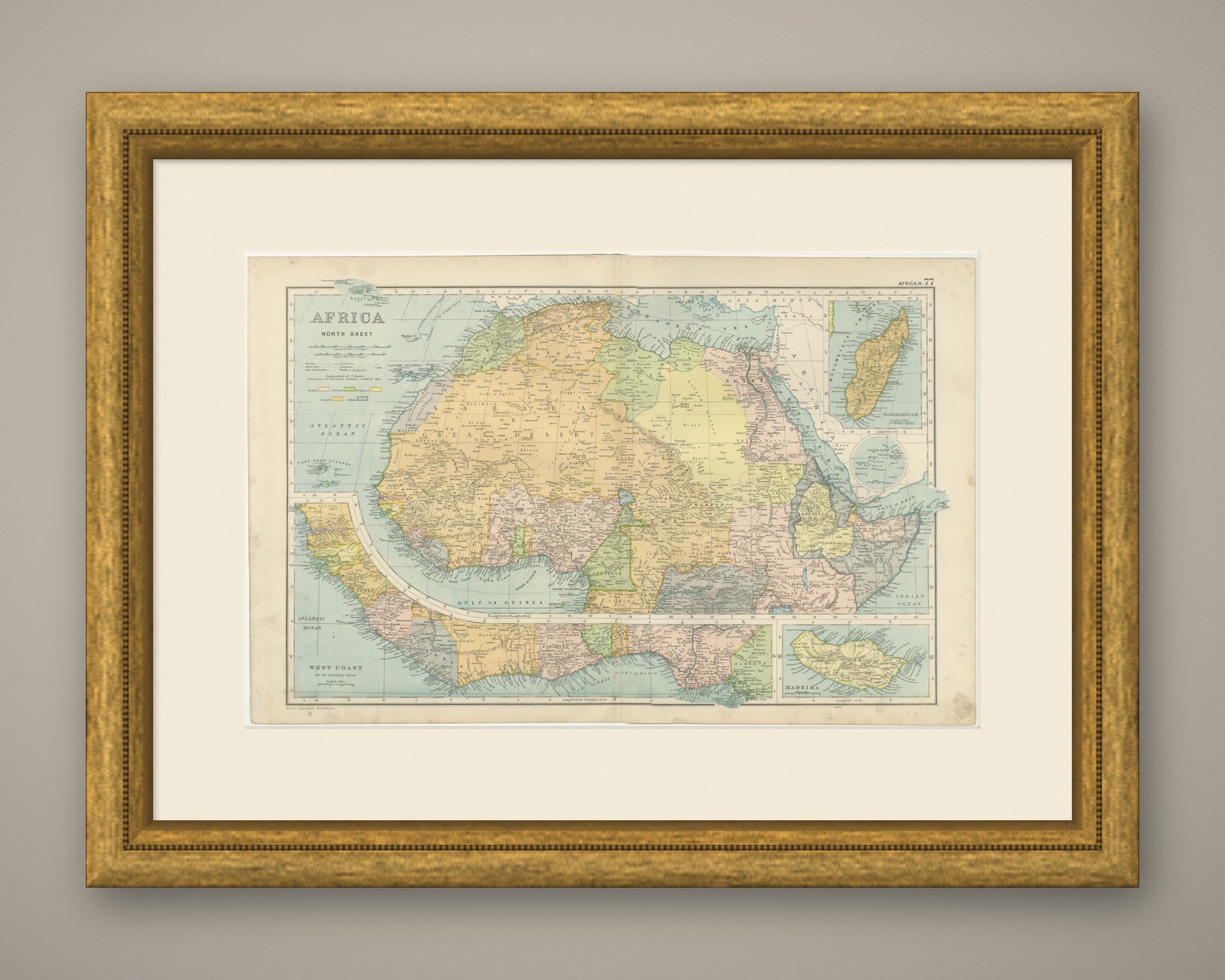
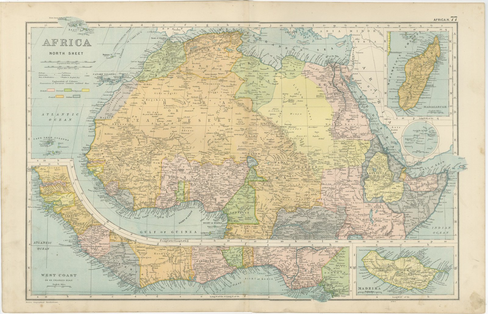
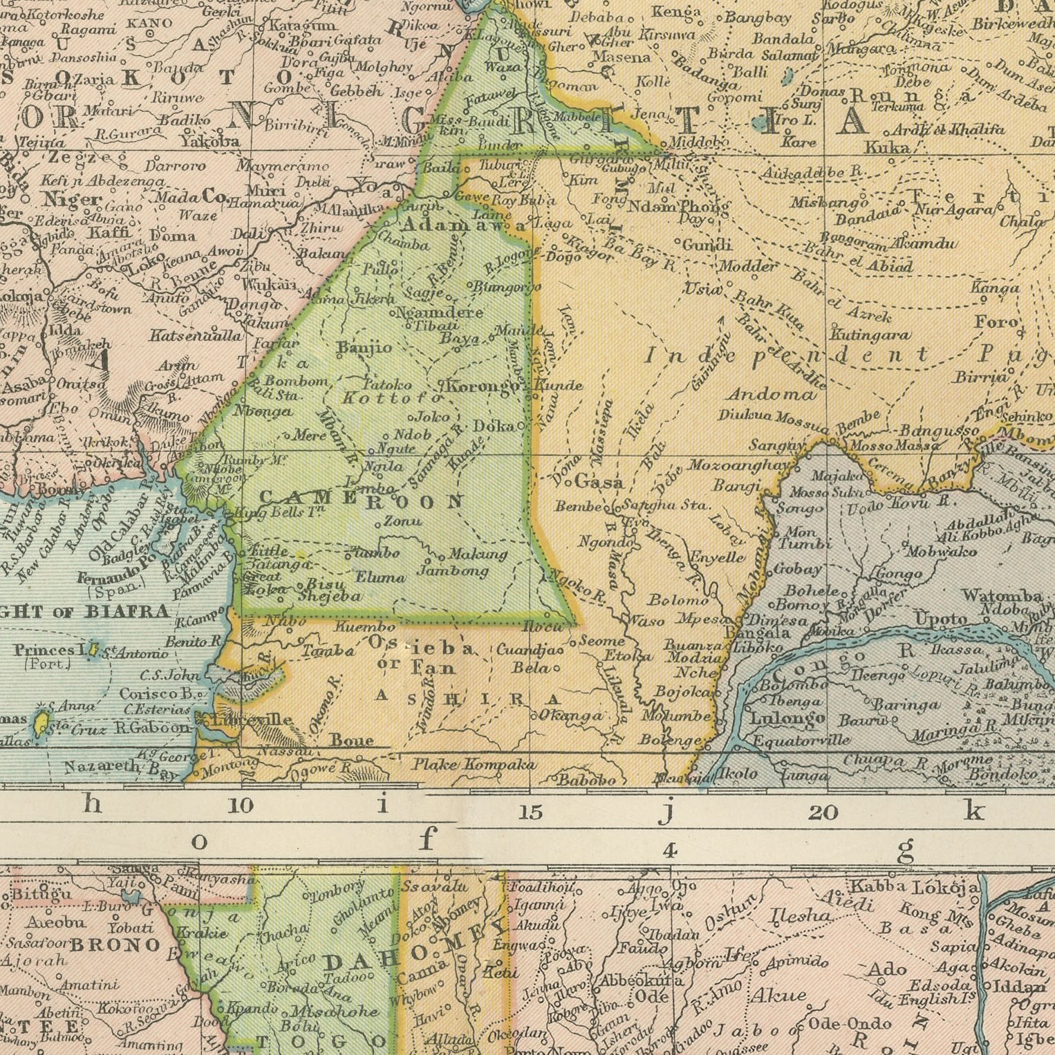
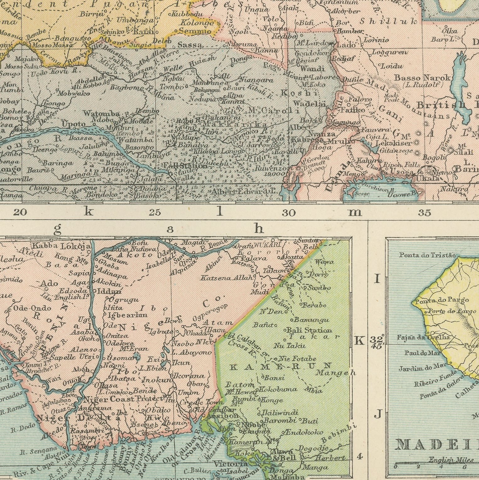
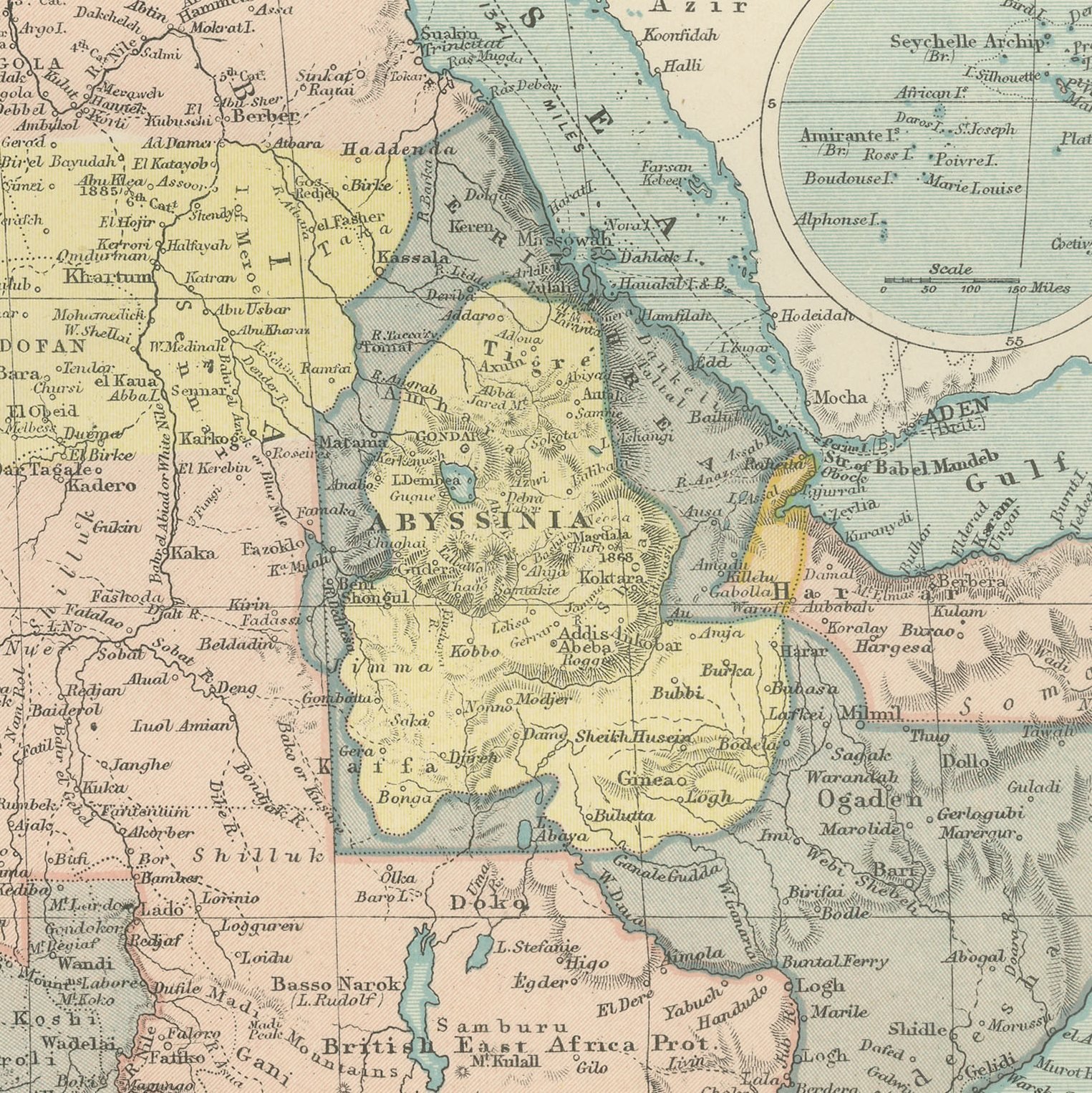
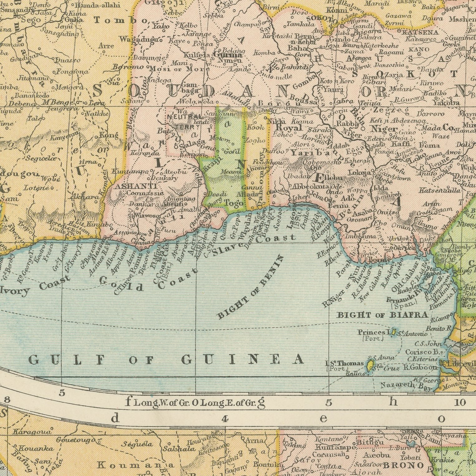
An original antique map of northern Africa, color printed in London in 1898 for G. W. Bacon's Commercial and Library Atlas of the World. The double page covers the continent from the Mediterranean to the Gulf of Guinea and from the Atlantic to the Red Sea, with the Great Desert of Sahara across the middle, the Soudan, Darfur and Abyssinia to the south and east, and a printed key separating British, French, German, Portuguese, Italian and Spanish possessions. Insets give Madagascar, Madeira and an enlarged west coast.
The sheet comes from the Commercial and Library Atlas of the World with Index-Gazetteer, edited by George Washington Bacon, Fellow of the Royal Geographical Society, and published in London by G. W. Bacon and Company, Limited, of 127 Strand, in 1898. The atlas gathered one hundred double page maps and one hundred inset maps with an alphabetical index of fifty thousand places and a gazetteer of two thousand towns, and it was sold to merchants, shipping houses and subscription libraries that needed the world kept current rather than kept beautiful.
The Sahara is drawn with the caravan roads and the oases that carried the trade, and the French claims across it are shown as the loose lines they then were. Abyssinia appears two years after it destroyed an Italian army at Adowa and kept its independence, the one African state on the sheet that did. The enlarged west coast panel names the trading forts of the Gold Coast and the Niger delta one by one, which is the part most often wanted.
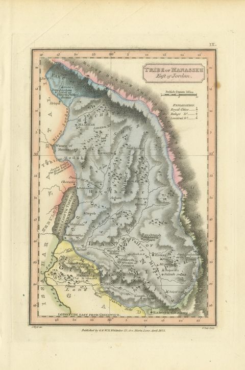
Light overall age toning, with a few handling marks in the margins and wear to the top right corner. The printed image itself is clean.
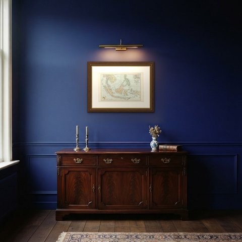
The sheet is large enough to carry a chimney breast or a stairwell and quiet enough in color to sit with books and furniture rather than compete with them. Collectors of Victorian cartography, interior designers and anyone with a tie to the region will find a use for it. This is an original antique map, not a modern reproduction. This item is sold unframed.