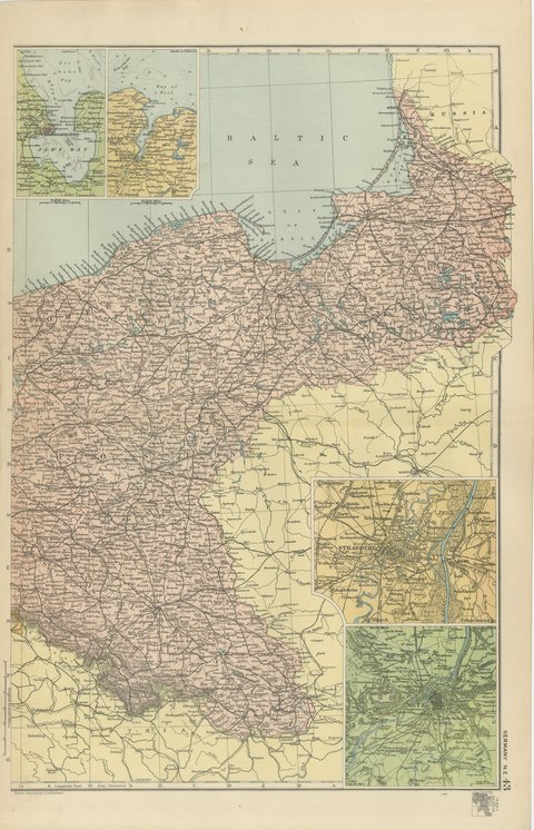
 The sheet, as you receive it
 In the room
Interior designers: BarTrade members buy at their trade price. How it works
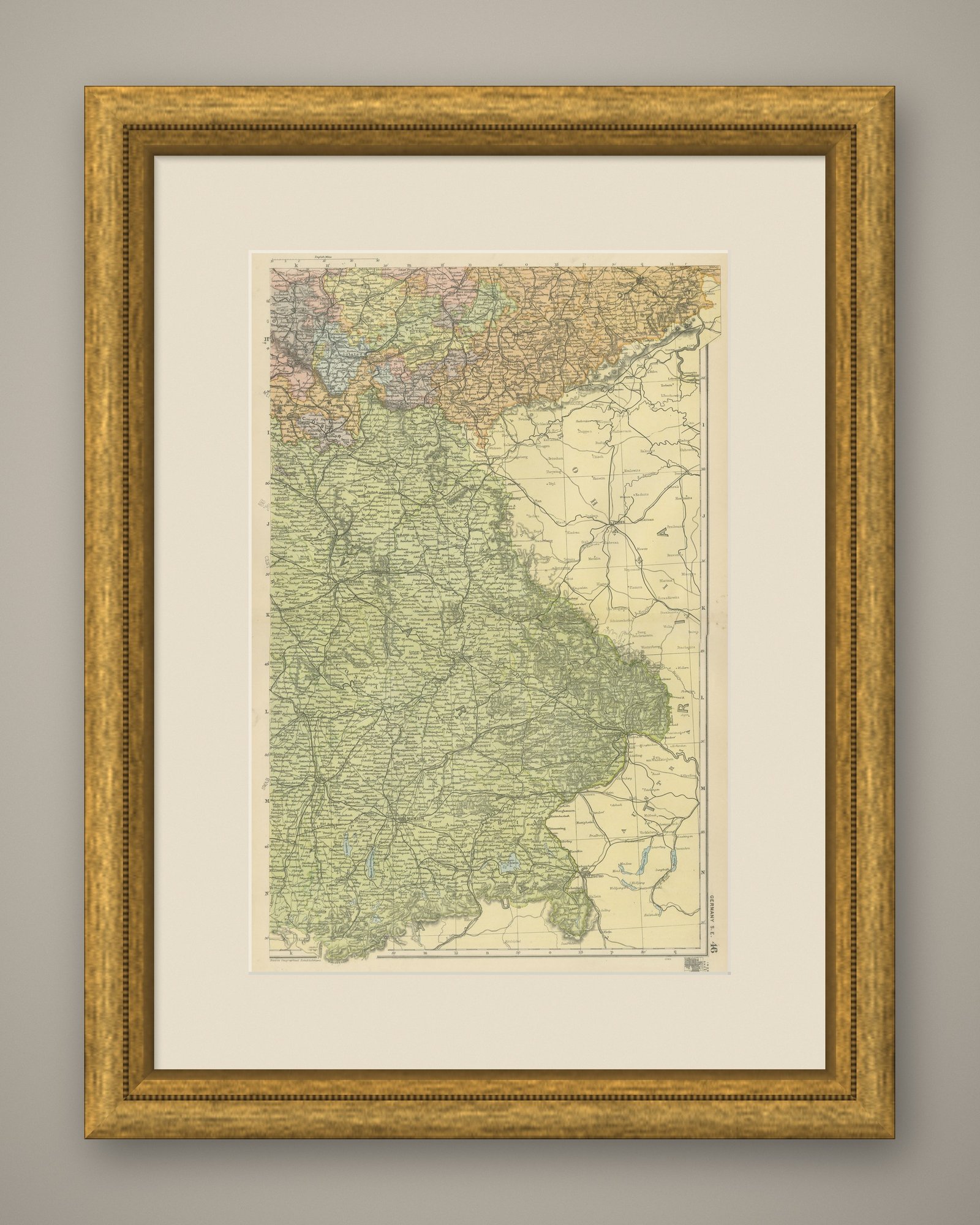
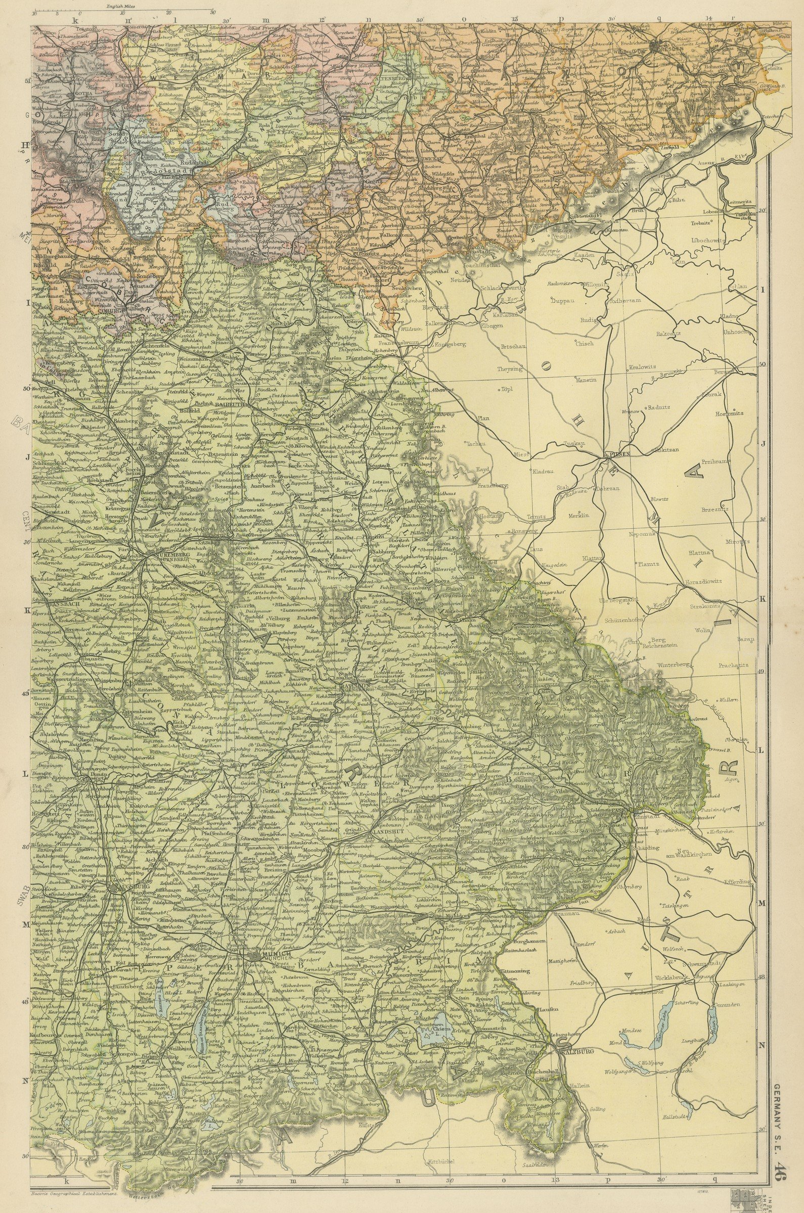
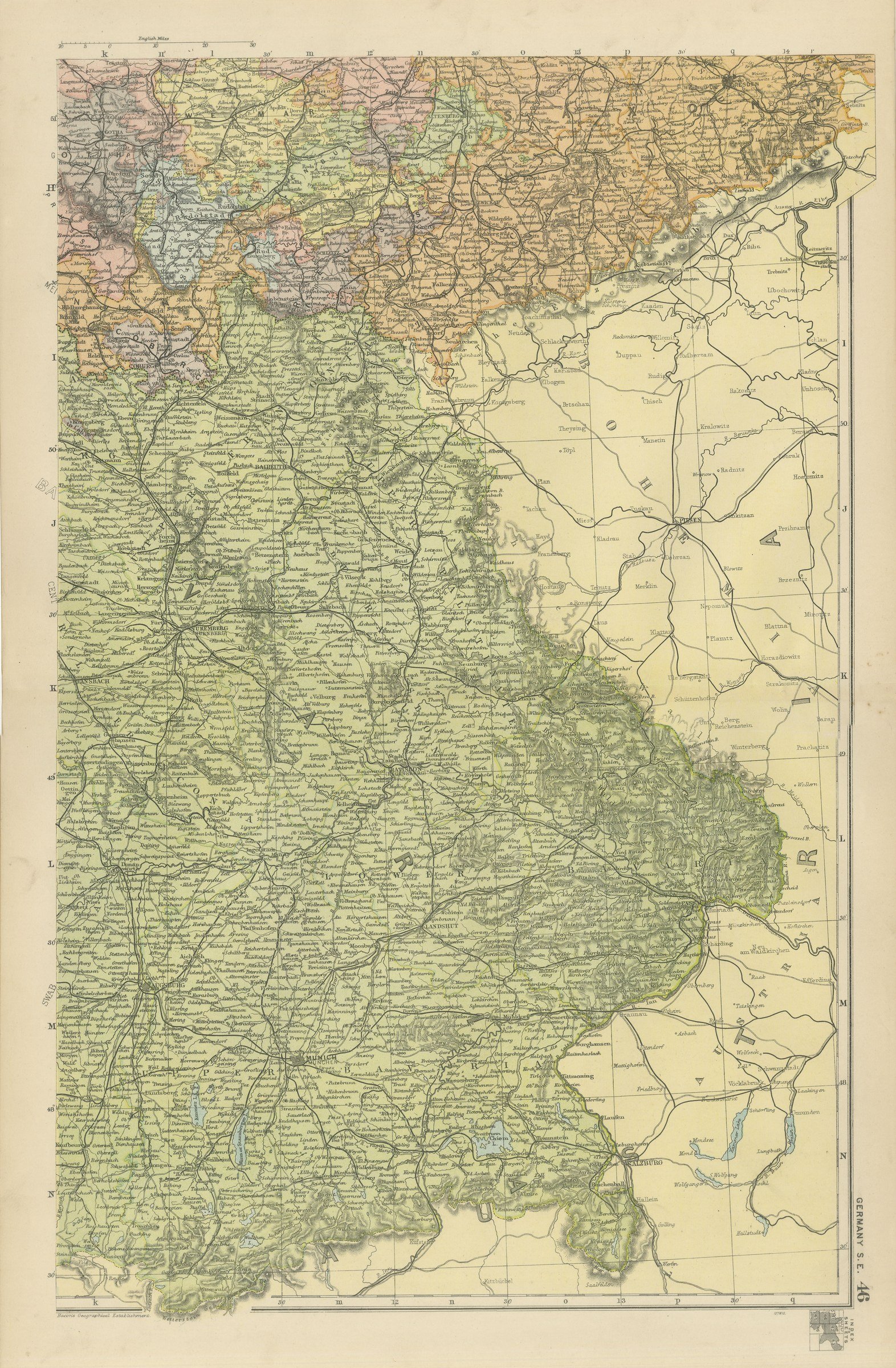
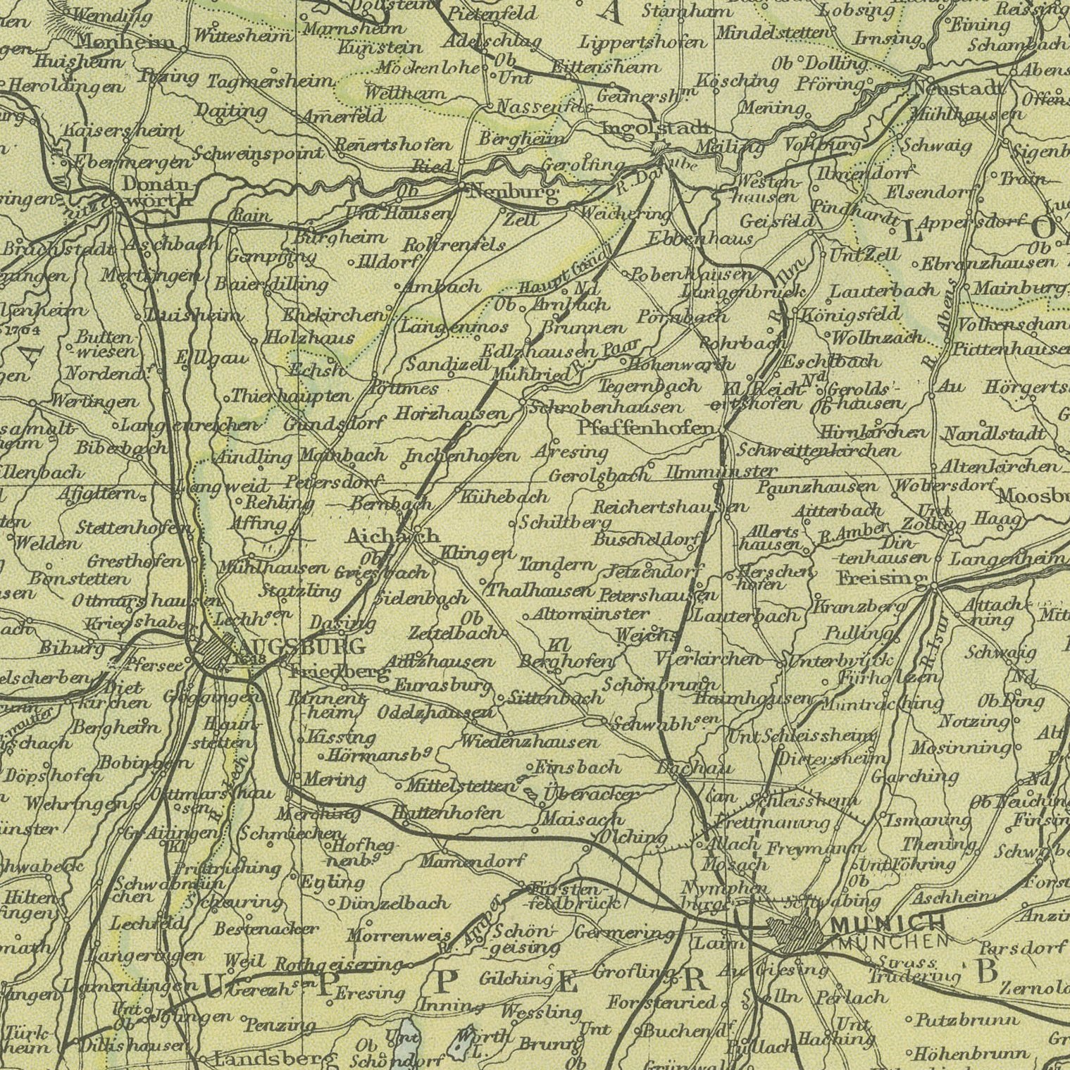
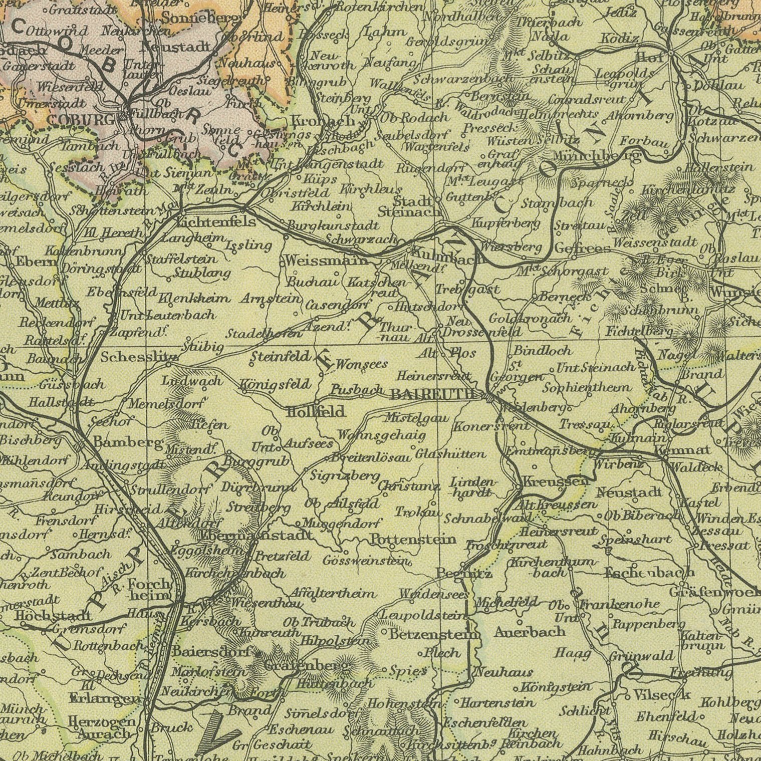
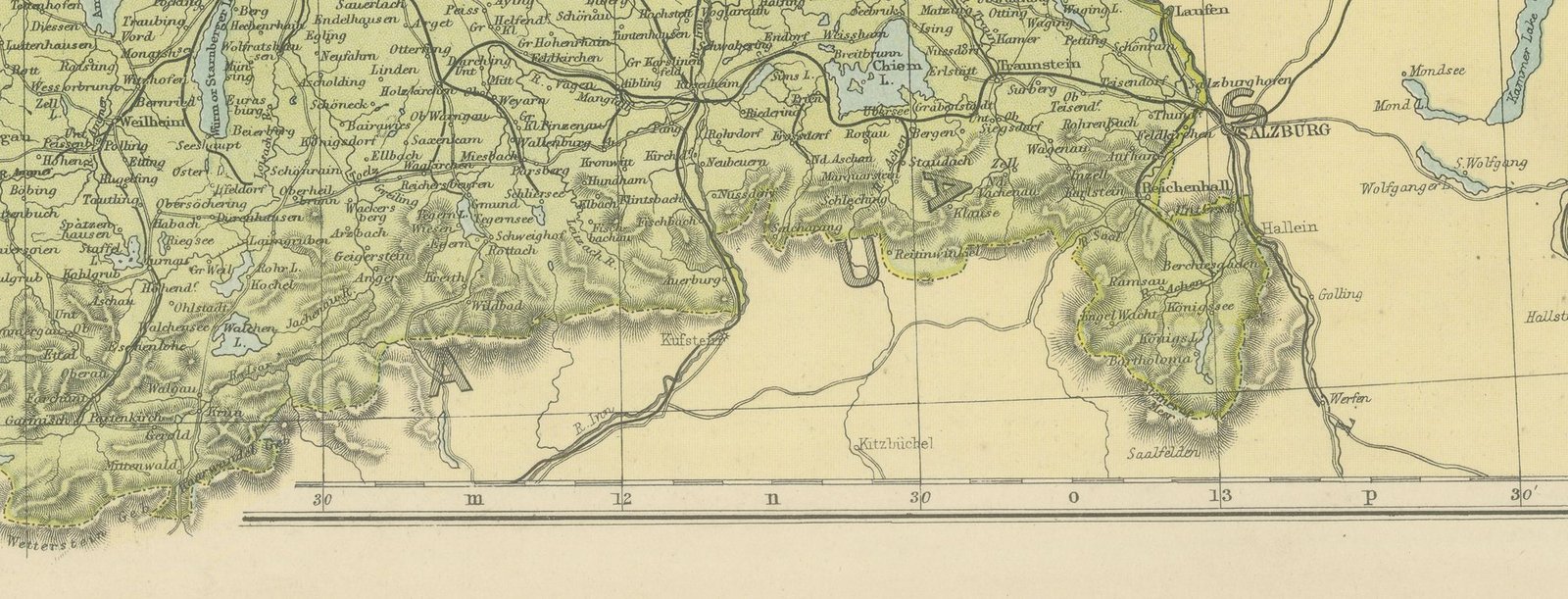
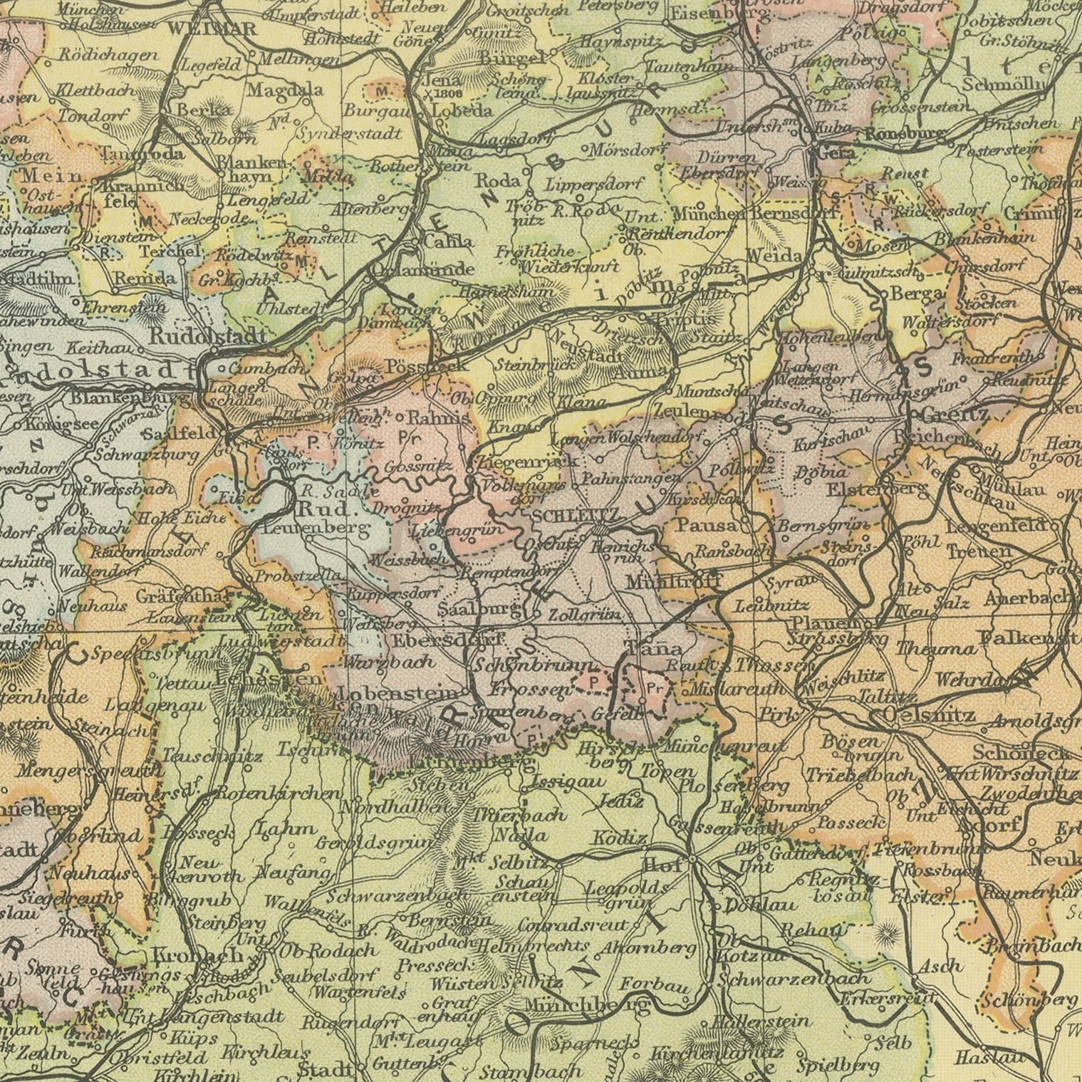
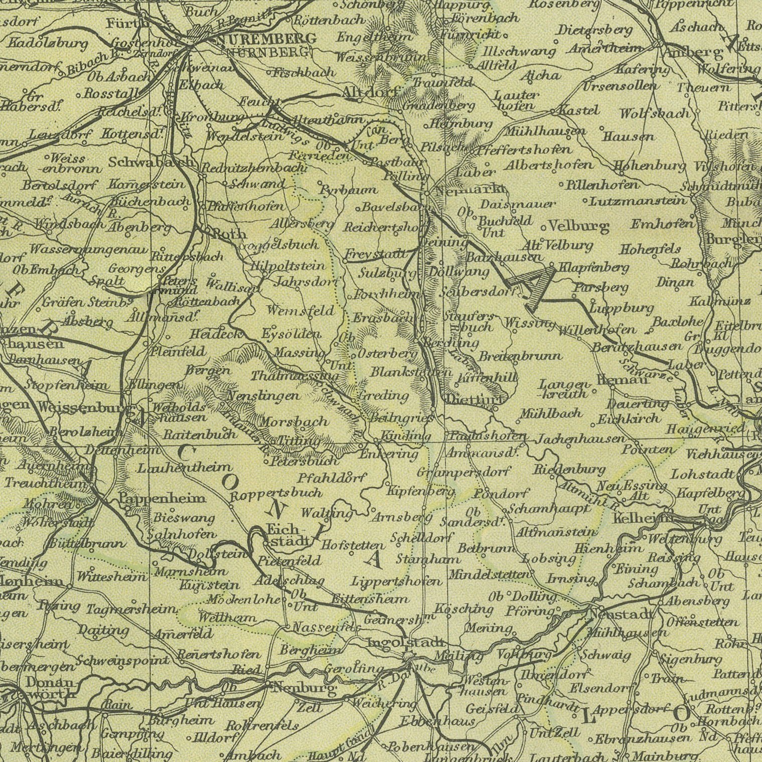
An original antique map of south eastern Germany, color printed in 1898 for Bacon's Commercial and Library Atlas of the World. The upright sheet covers the Kingdom of Bavaria from the Main to the Alps, with Munich, Nuremberg, Augsburg and Ratisbon named, the Bohemian Forest along the Austrian frontier, the Danube drawn across the middle of the page, and the Bavarian lakes and Alpine foothills shaded in the south.
The sheet was printed for the Commercial and Library Atlas of the World, the reference atlas G. W. Bacon and Company, Limited published from the Strand in London in 1898. Bacon edited it himself, and his Geographical Establishment drew, printed and colored every plate. One hundred double page maps and one hundred insets covered the whole of the known world, with the railway and steamship lines that were then remaking it marked throughout.
Bavaria kept its own king, its own army and its own postal service inside the empire, and the map shows it as a country in its own right rather than a province. The sheet was printed twelve years after the death of Ludwig the Second, with his castles standing in a landscape that was already drawing tourists. For anyone with Bavarian connections, or a fondness for Munich, it is the obvious sheet from this atlas to own.
Even age toning, the paper a warm cream, with gray handling soiling in the margins.
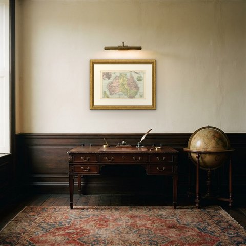
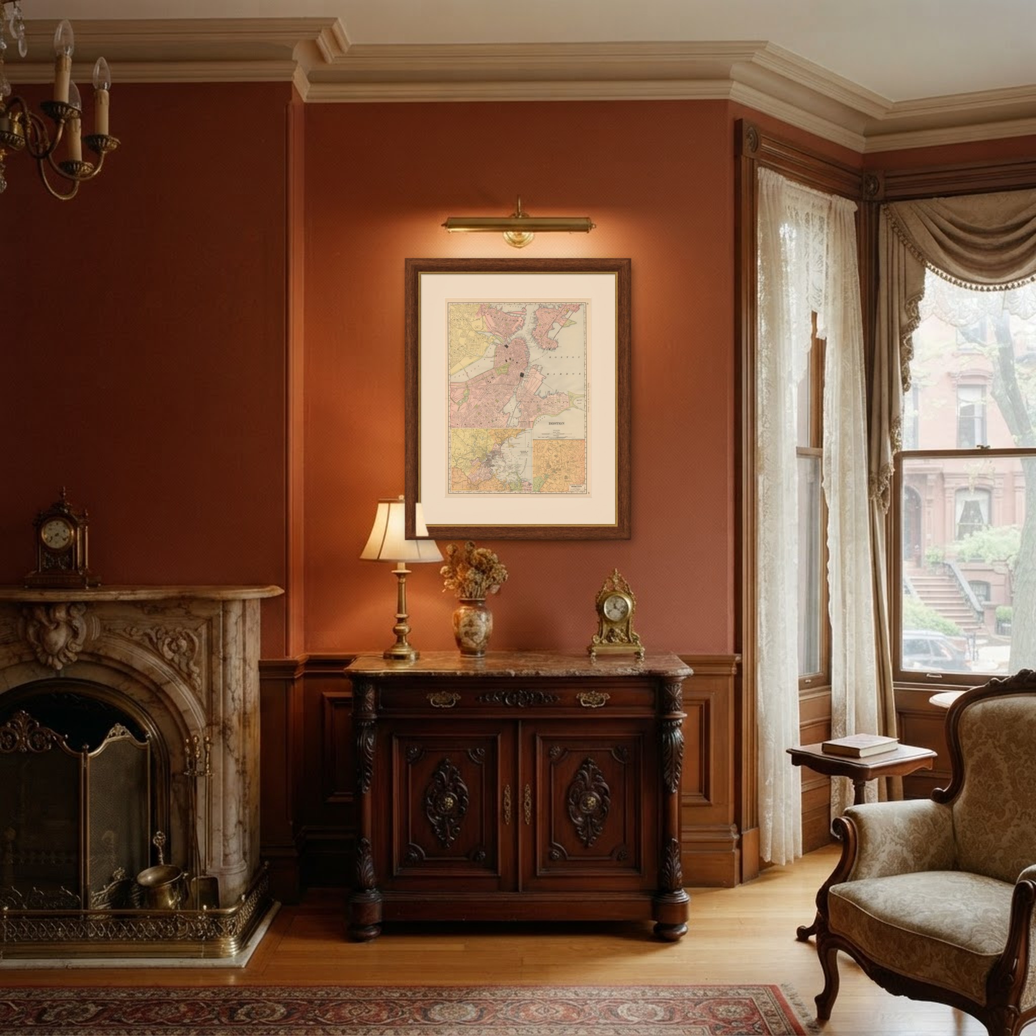
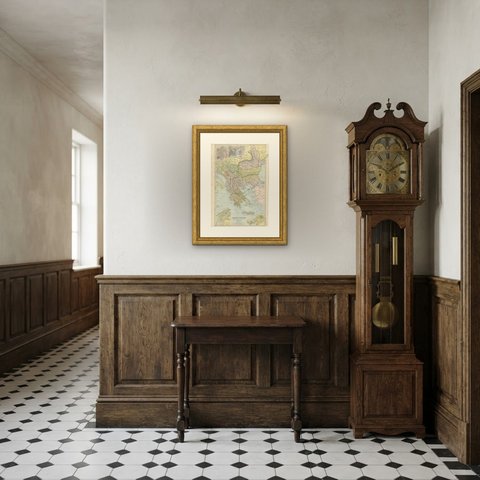
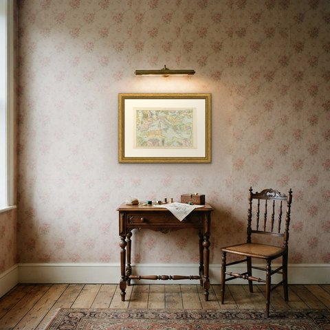
Framed simply, a sheet of this size holds a wall on its own, and the clear color printing reads well across a room. It suits a study, a library, an office or a hallway, and it is an easy gift for anyone with a connection to the place it shows. This is an original antique map, not a modern reproduction. This item is sold unframed.