 The sheet, as you receive it
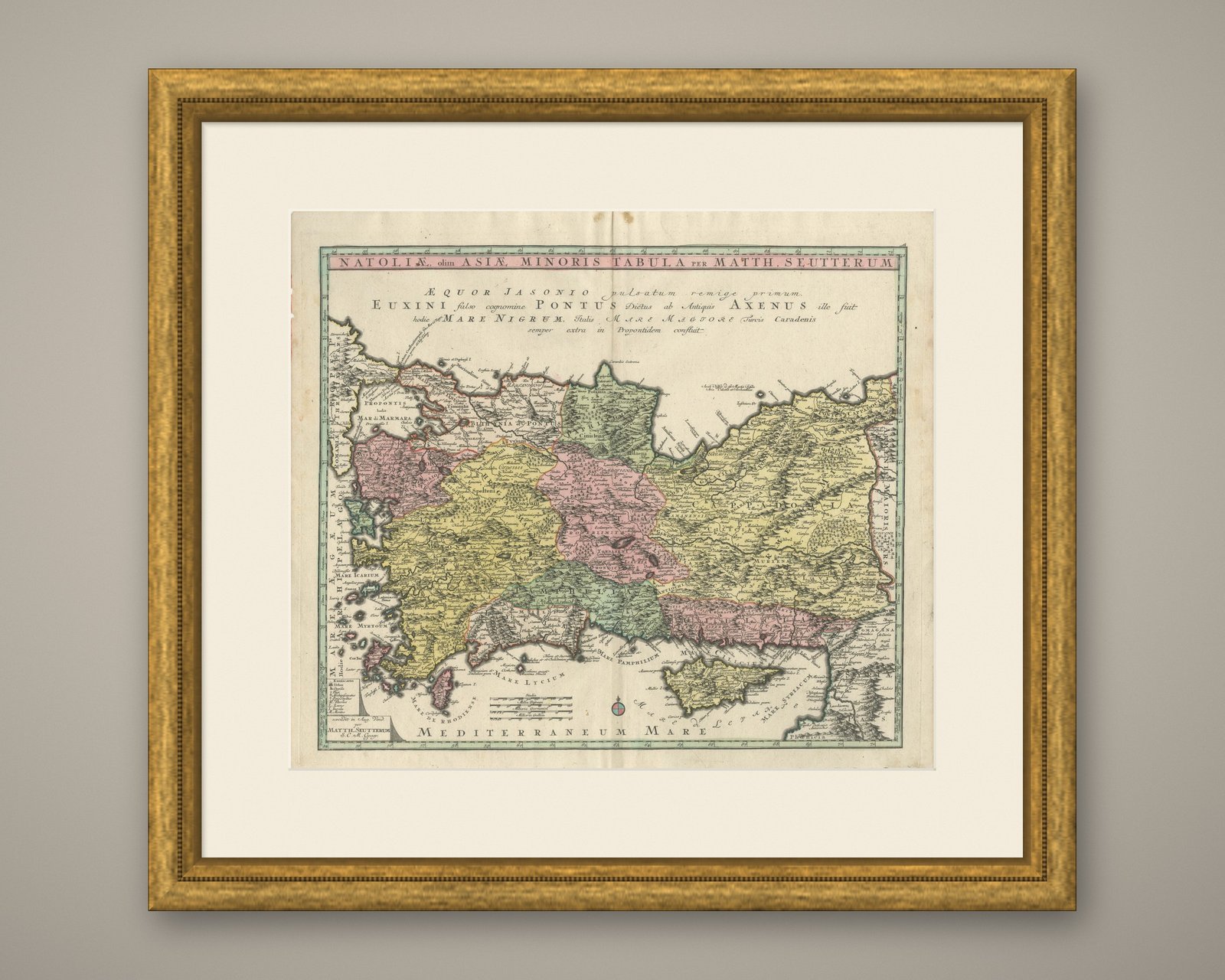
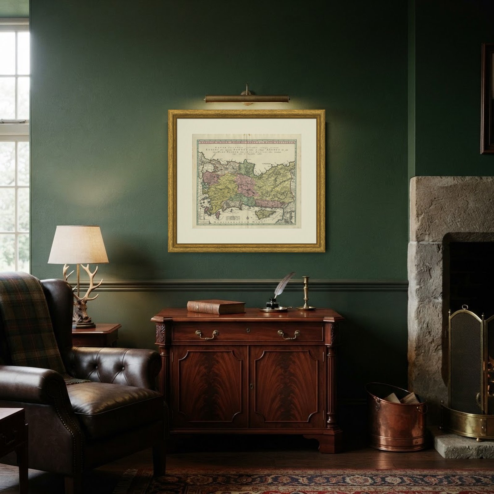 In the room
Interior designers: BarTrade members buy at their trade price. How it works
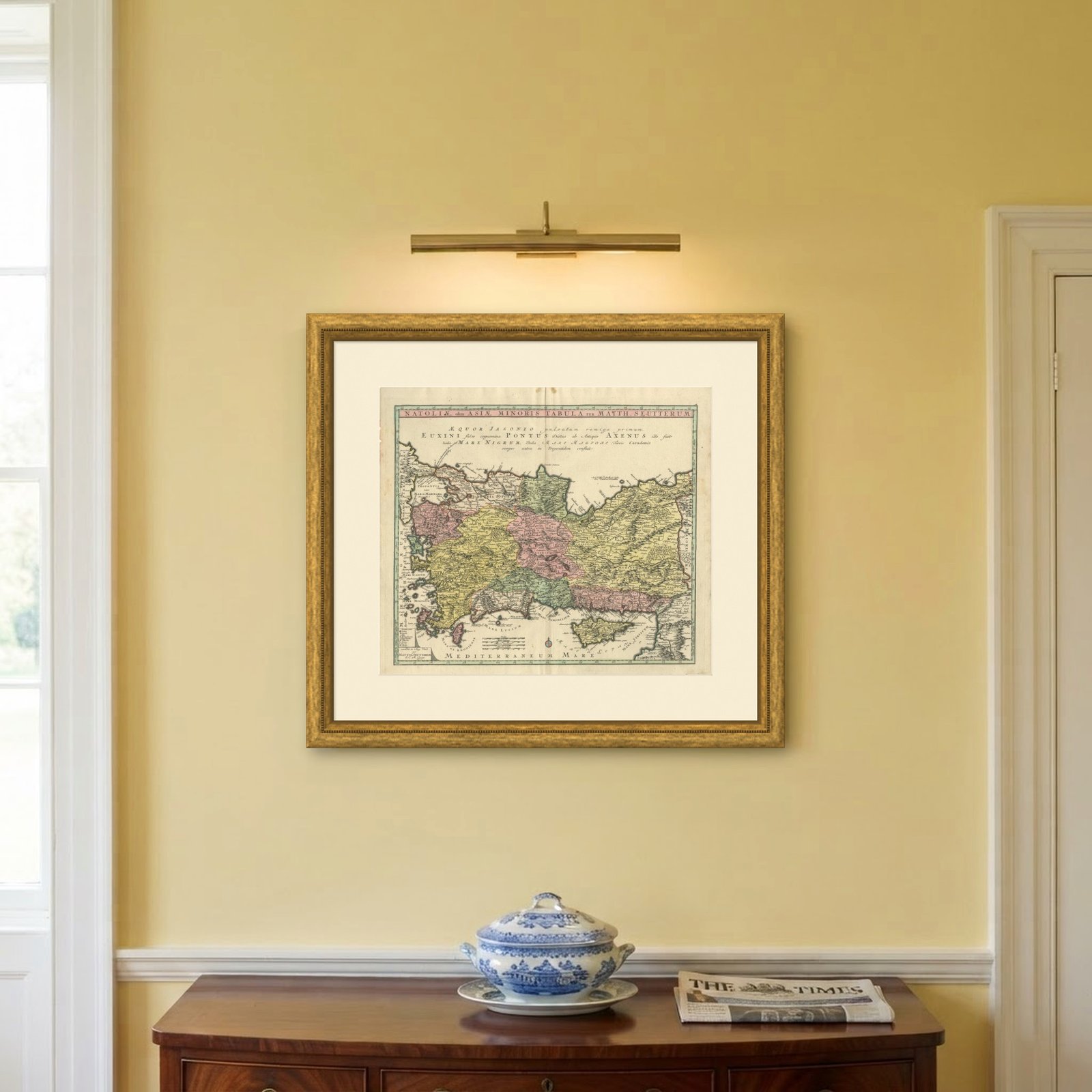
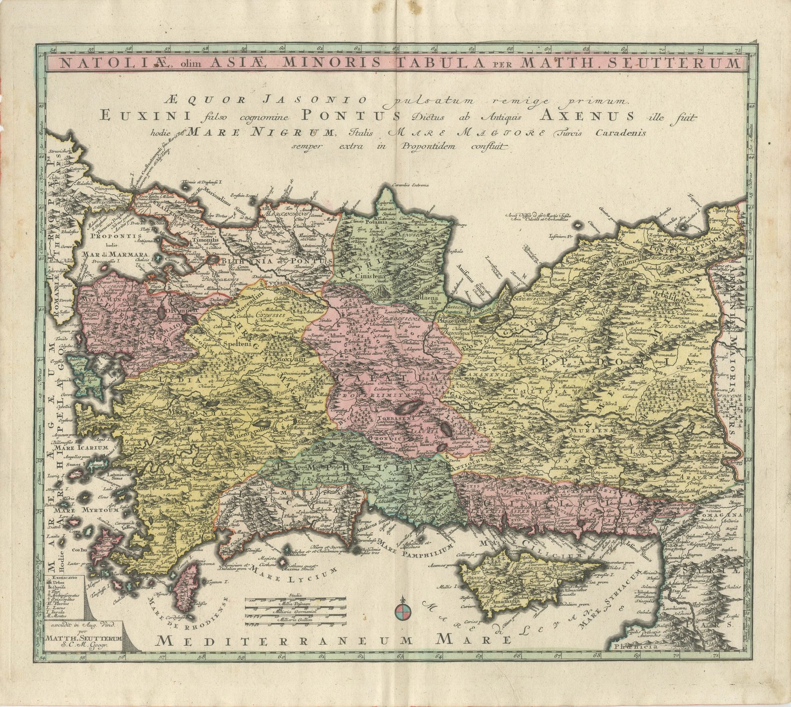
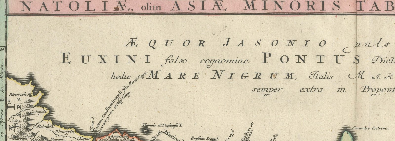
An original antique copper engraved map with original hand color, circa 1740, of Asia Minor by Matthäus Seutter of Augsburg. The title band across the top reads "NATOLIÆ, olim ASIÆ MINORIS TABULA PER MATTH. SEUTTERUM", that is, map of Natolia, formerly Asia Minor, by Matthäus Seutter.
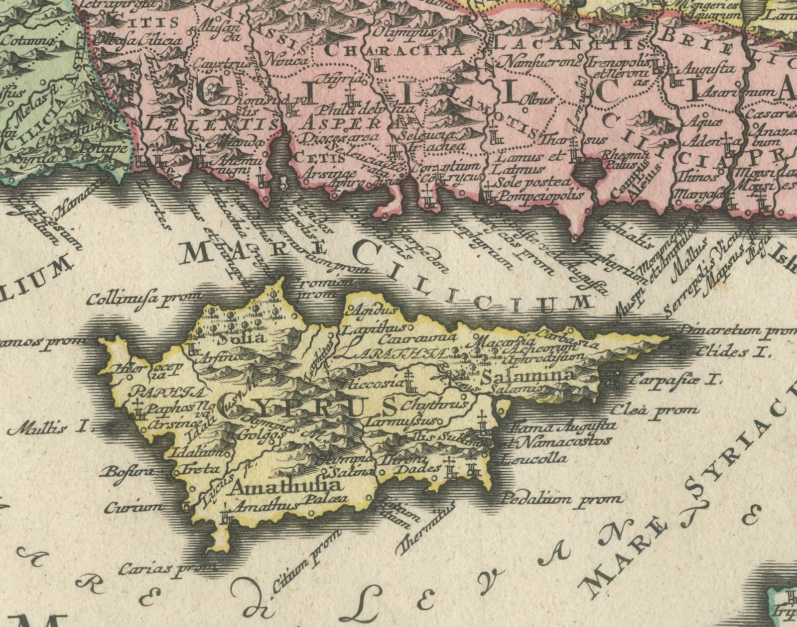
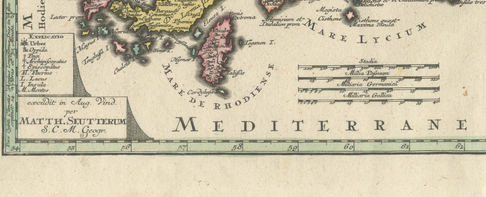
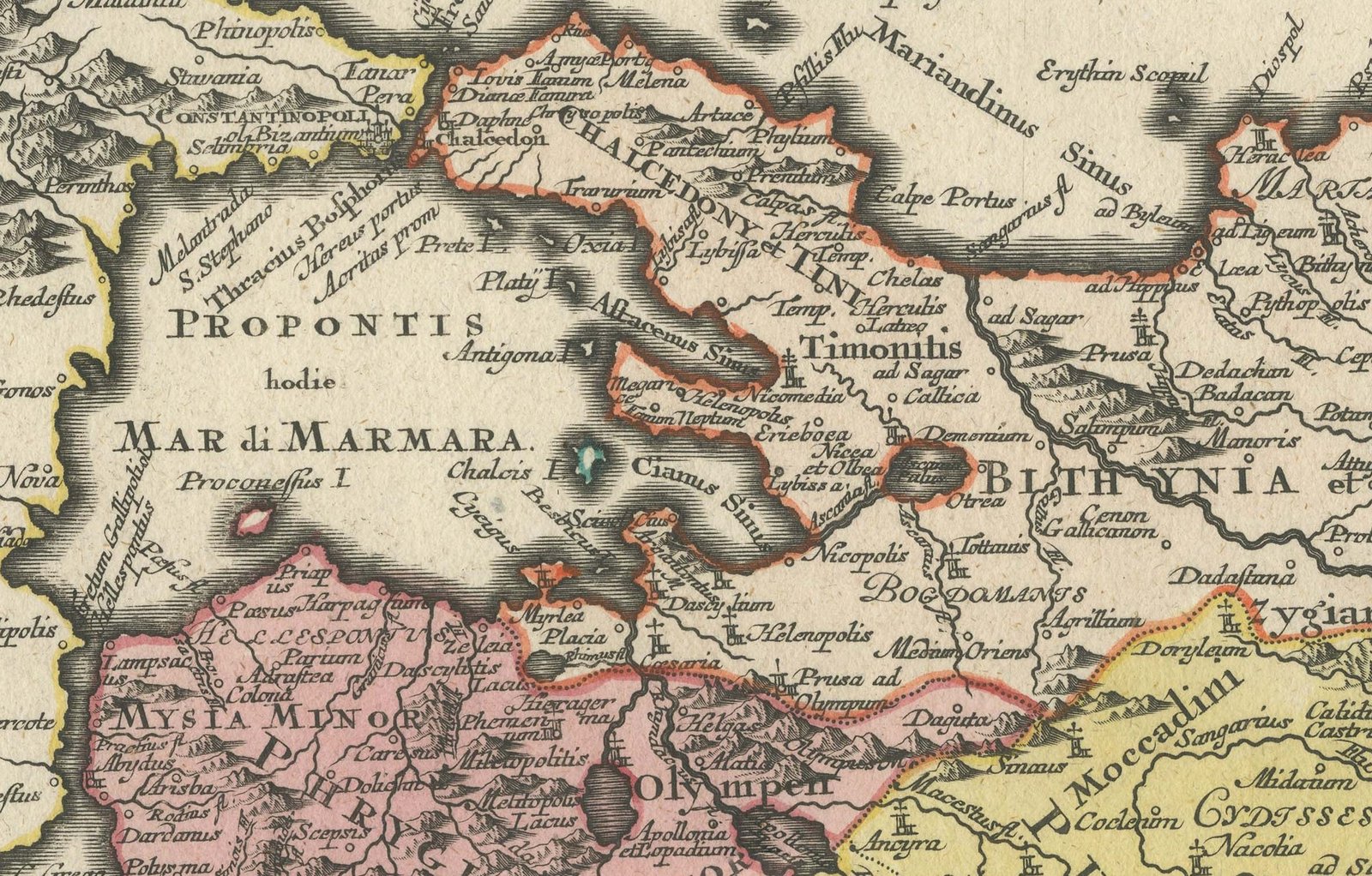
The map covers the Anatolian peninsula from the Propontis (the Sea of Marmara) and the Aegean islands on the left to Armenia along the right edge, with Cyprus in the sea at lower right and the Syrian coast in the lower right corner. The country is divided by its ancient provinces, among them Bithynia and Pontus, Lydia, Phrygia, Cappadocia, Pamphylia and Cilicia, each washed in pink, yellow or green, with towns, rivers, lakes and hatched mountains throughout. The seas carry classical names such as Mare Icarium, Mare Lycium, Mare Pamphilium and Mare Cilicium, and the Mediterranean is lettered along the bottom. Across the Black Sea, which fills the top of the sheet, runs a Latin legend beginning "ÆQUOR JASONIO pulsatum remige primum." (the sea first struck by the oar of Jason); it goes on to say that the sea was falsely called the Euxine, was known to the ancients as Axenus, and is now the Black Sea, called Caradenis by the Turks. At lower left a key headed "EXPLICATIO" gives the symbols for cities, towns, villages, archbishoprics and bishoprics, with abbreviations for rivers, lakes, islands and mountains. Four scale bars near the bottom give stadia and Roman, German and French miles, and a small compass rose sits to their right. Degrees are marked along the borders.
The imprint below the key at lower left reads "excudit in Aug. Vind. per MATTH. SEUTTERUM S.C.M. Geogr.", published at Augsburg by Matthäus Seutter, geographer to His Imperial Majesty. No date is engraved.
The map was engraved and published in Augsburg by Matthäus Seutter in the 18th century. Seutter worked as an engraver and map publisher in Augsburg.
Light uneven toning, browner towards the edges. Handling soiling along the right edge. Foxing over much of the margin. Minor edge wear, shallow nicks along the left. Several larger brown marks. Folding line as issued.
This is an original antique map, not a modern reproduction. This item is sold unframed.