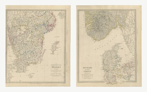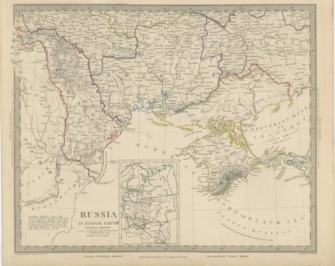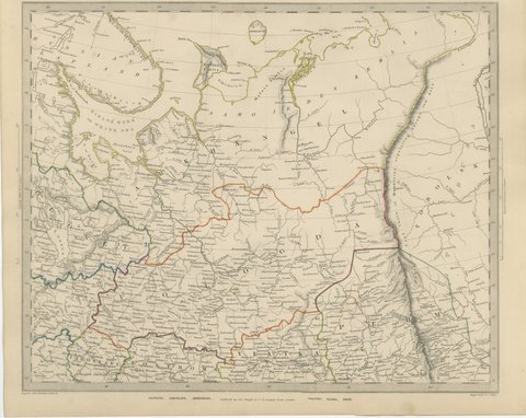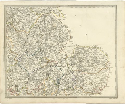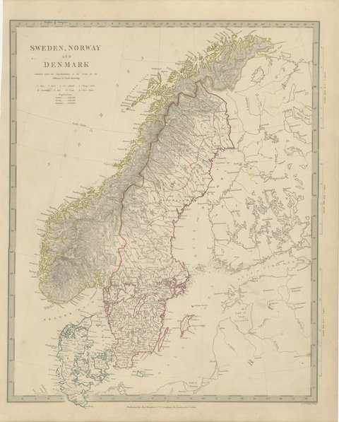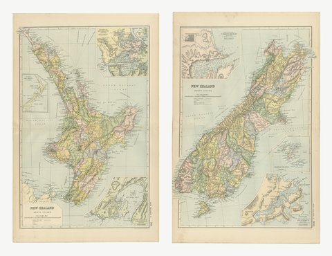
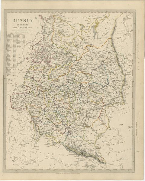
 The sheet, as you receive it
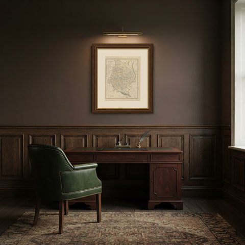
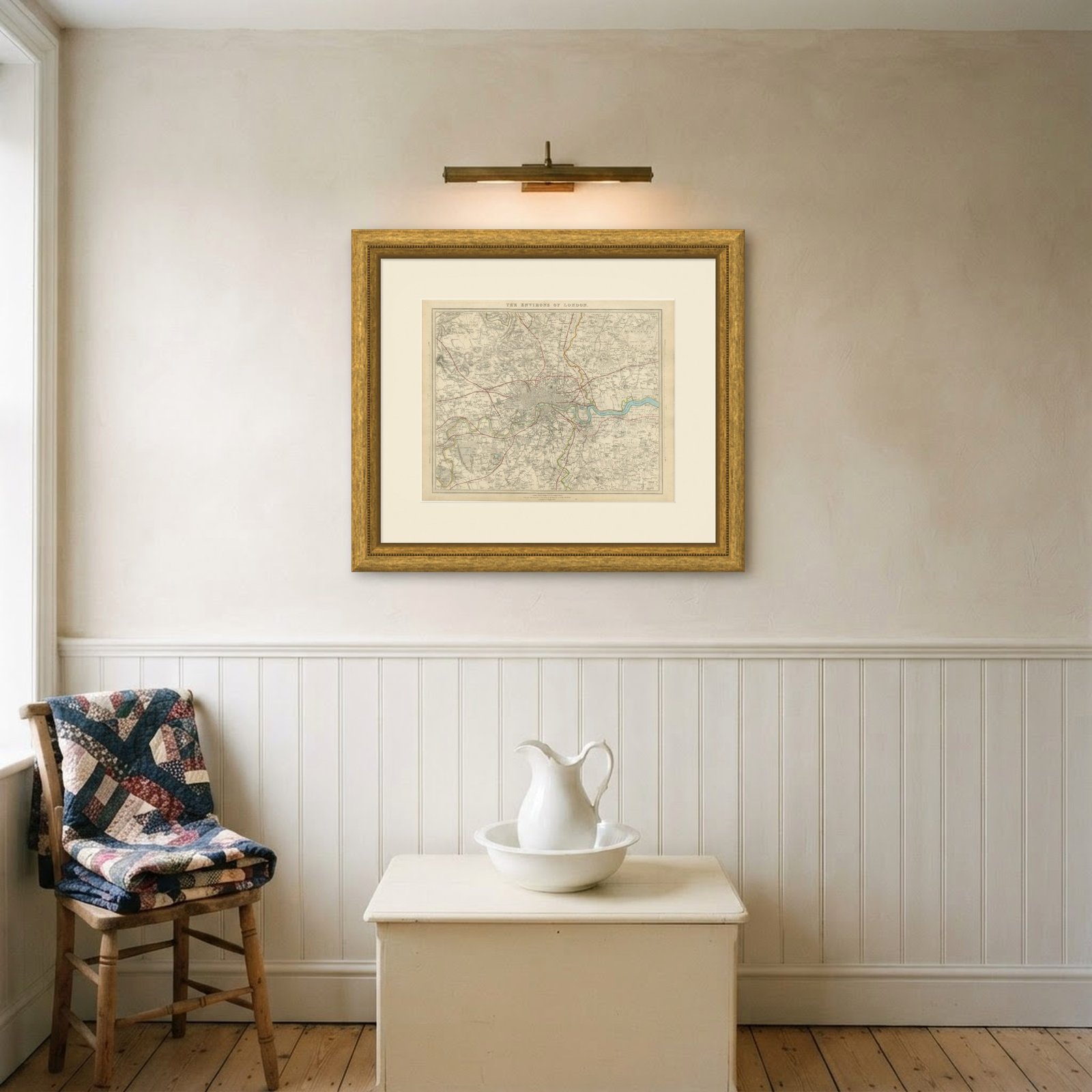
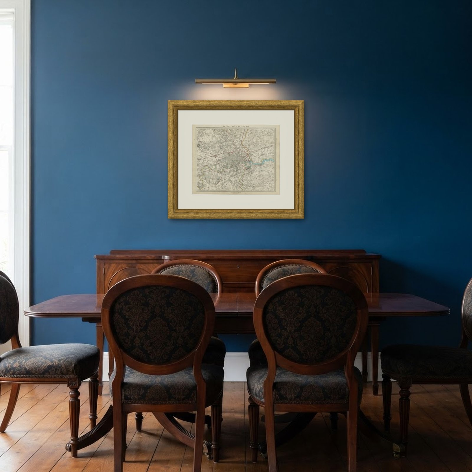 In the room
Interior designers: BarTrade members buy at their trade price. How it works
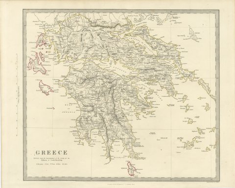
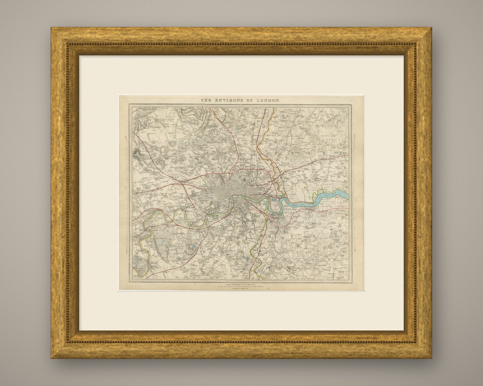
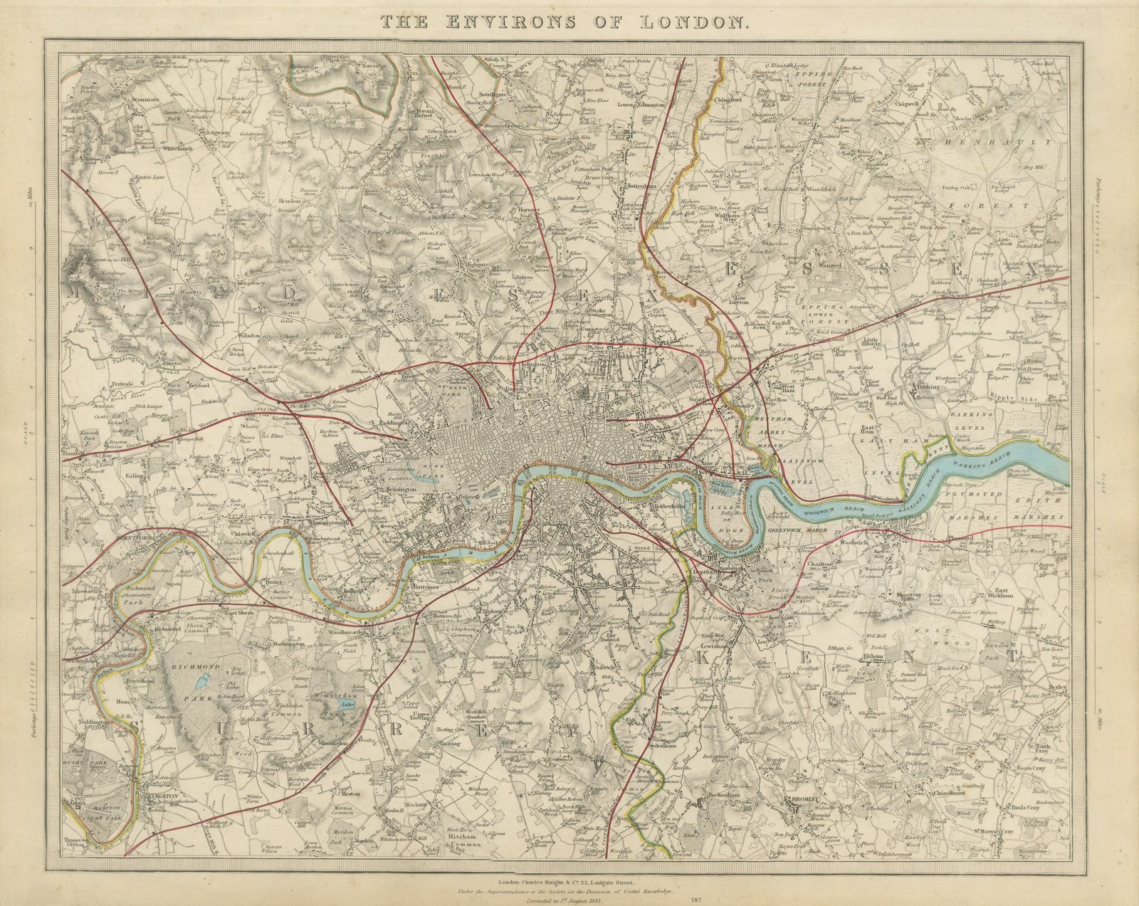
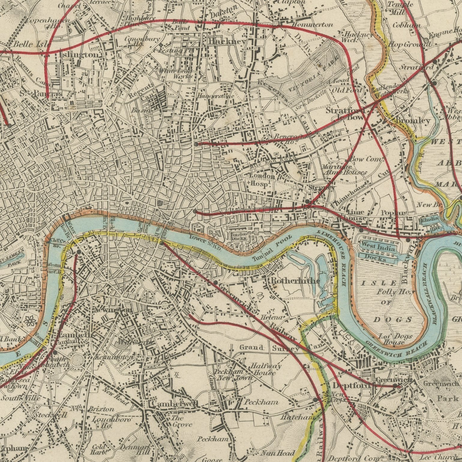
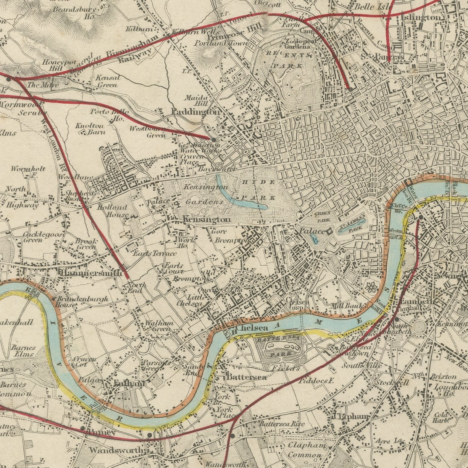
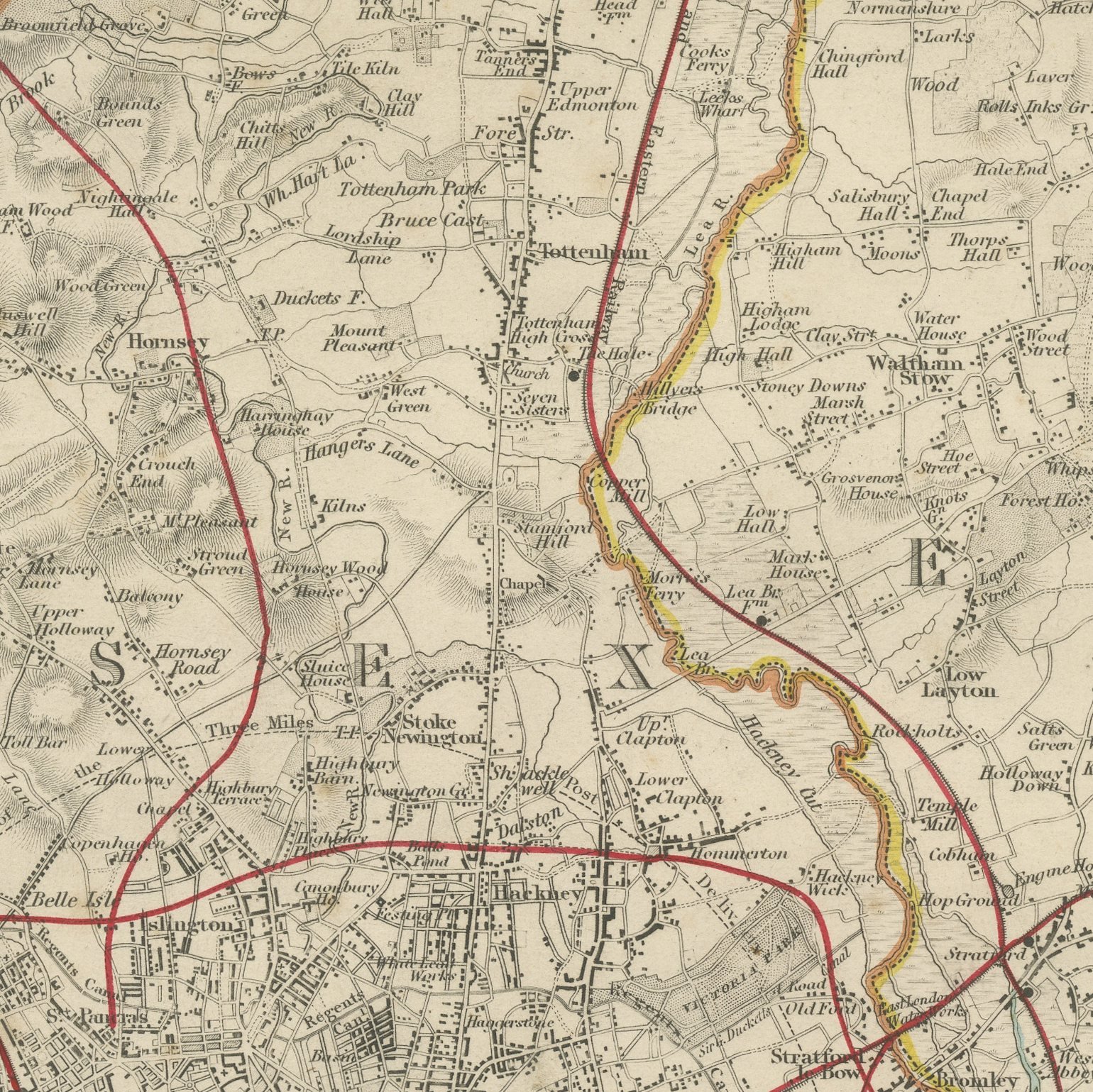
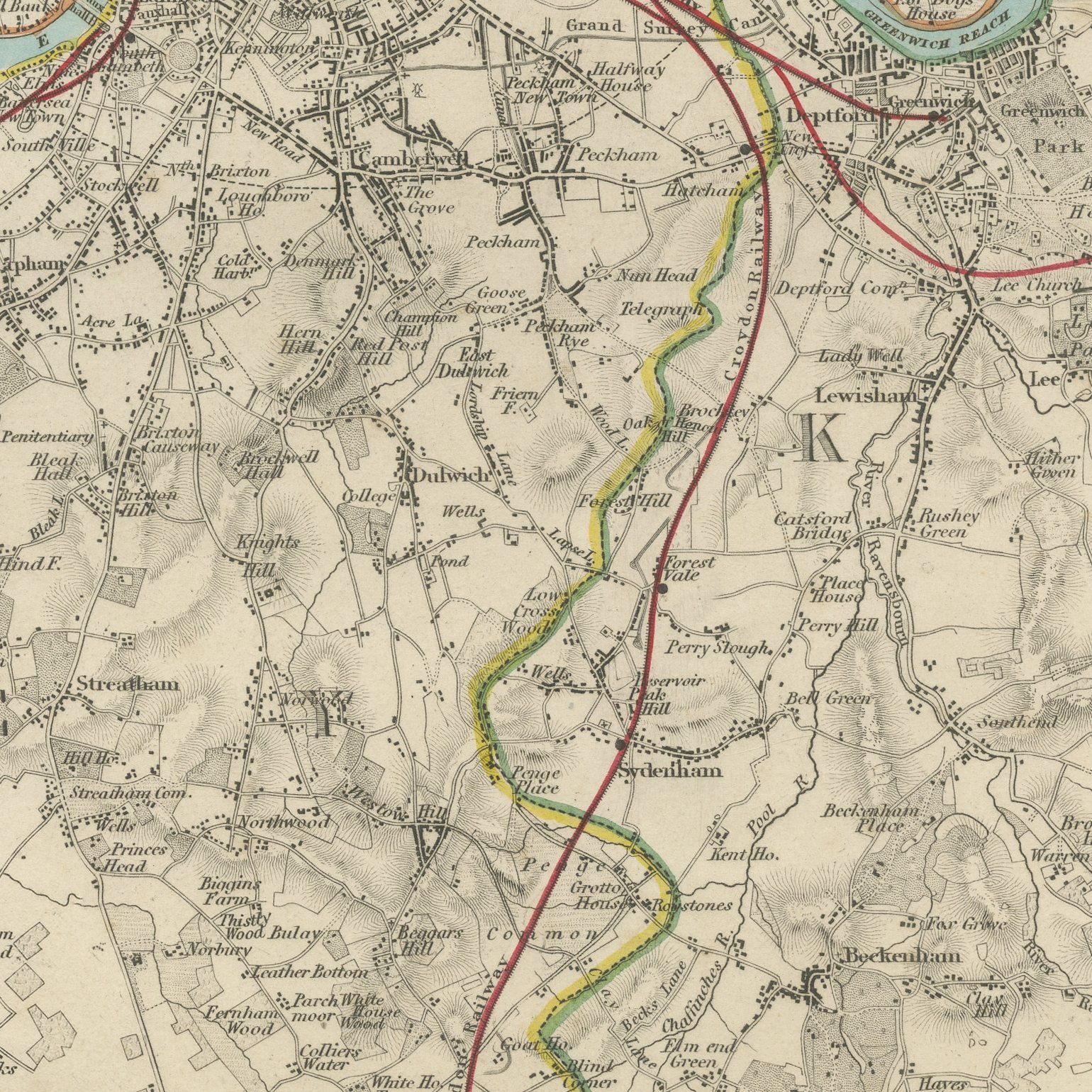
This is an original antique map of the environs of London, steel engraved and published in the atlas of the Society for the Diffusion of Useful Knowledge. The map puts the built city as a dark mass at the center and surrounds it with the villages and country that have since been absorbed, from Hampstead and Highgate round through Epping, Woolwich, Croydon and Richmond. The lettering states that it is corrected to the first of August 1845, and the early railway lines are drawn running out through open fields. The outline and water coloring is original hand color, applied by the publisher before the sheet was bound into the volume.
It carries plate number 187 and belongs to the third volume of the Society for the Diffusion of Useful Knowledge atlas, the volume given over to plans of cities, the stars and the index to places, published by Charles Knight of 22 Ludgate Street in London in 1847. Knight took over the Society's map series and reissued it corrected, so the plates carry a range of dates within one set.
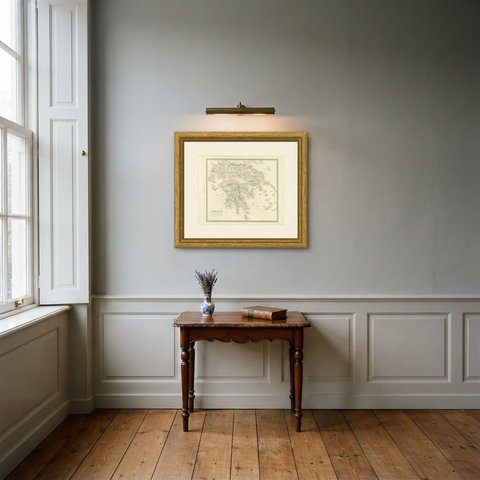
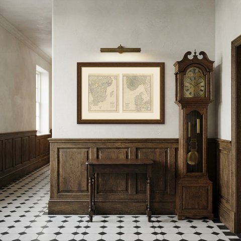
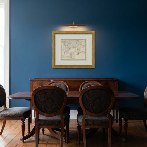
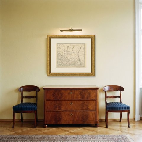
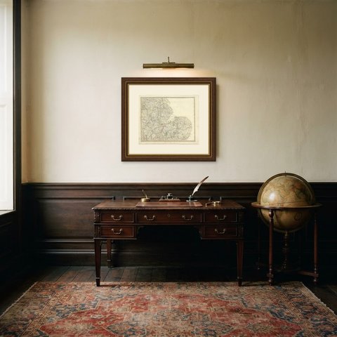
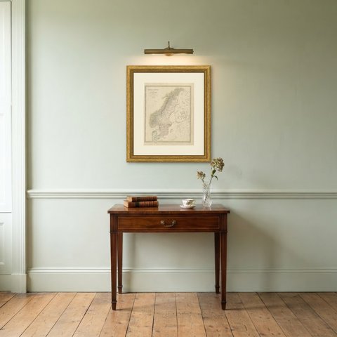
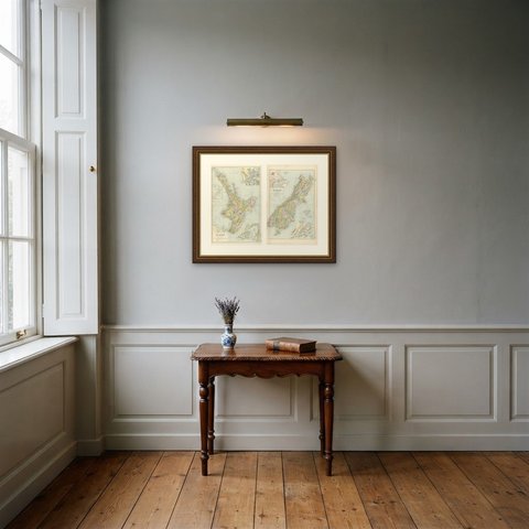
This is the sheet that shows how small London still was in relation to its own county: Clapham, Hackney and Fulham are separate places with fields between them. It is a favorite with Londoners because almost every buyer can find the village their own street was built over. Framed simply in dark wood or a plain gilt frame it suits a study, a hallway or a dining room, and it is a natural gift for anyone with a tie to the place.
Light uneven toning, browner toward the edges. Handling soiling along the bottom edge. Scattered light foxing in the margin. All four corners complete.
This is an original antique map, not a modern reproduction. This item is sold unframed.