 The sheet, as you receive it
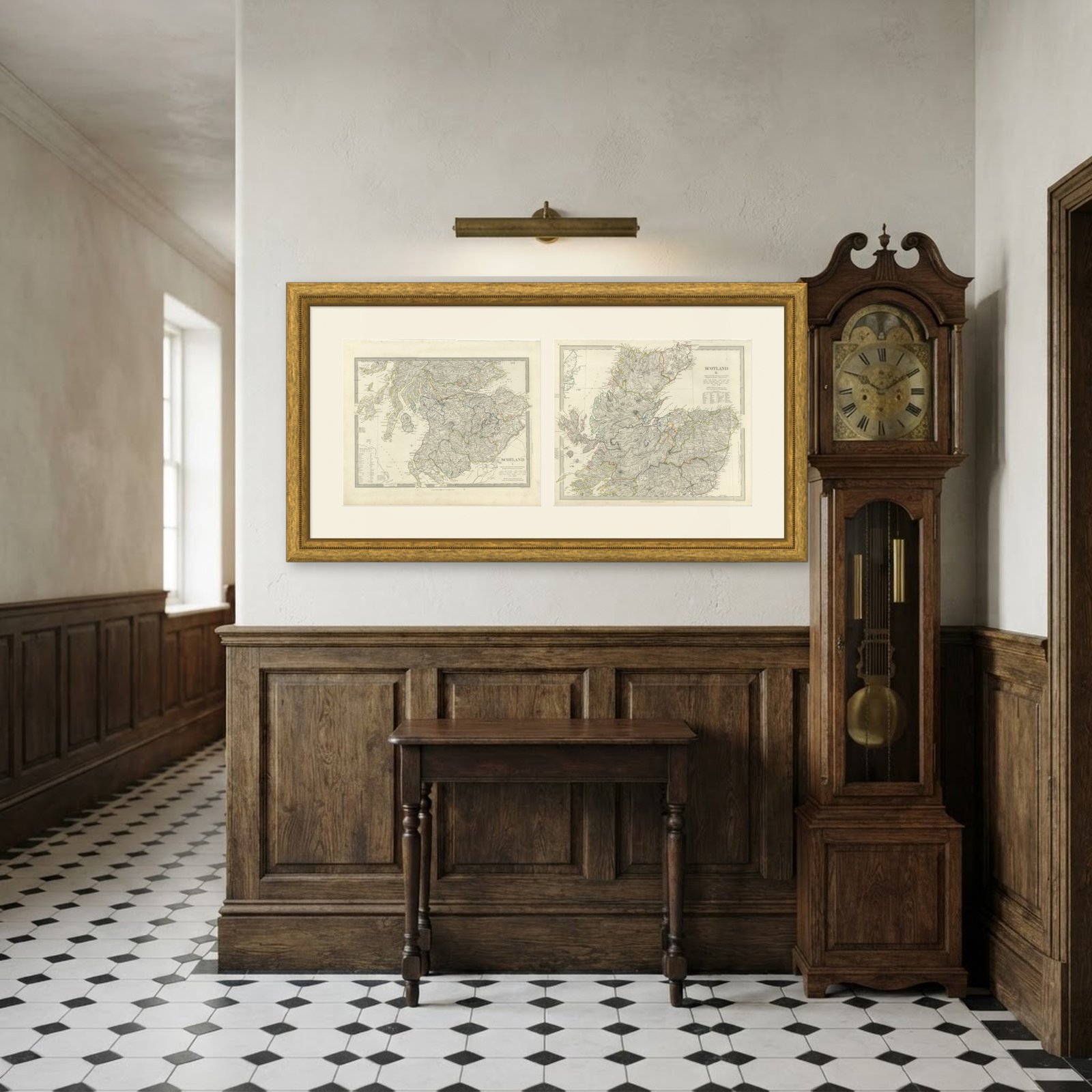 In the room 1
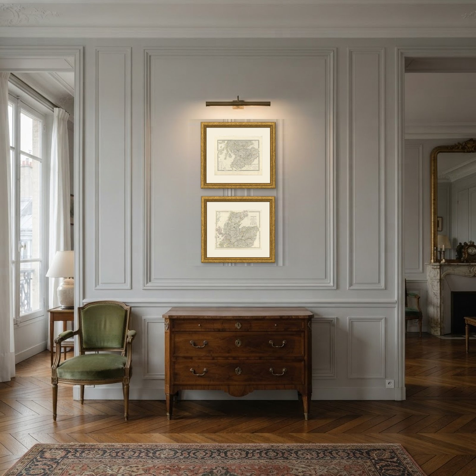
Interior designers: BarTrade members buy at their trade price. How it works
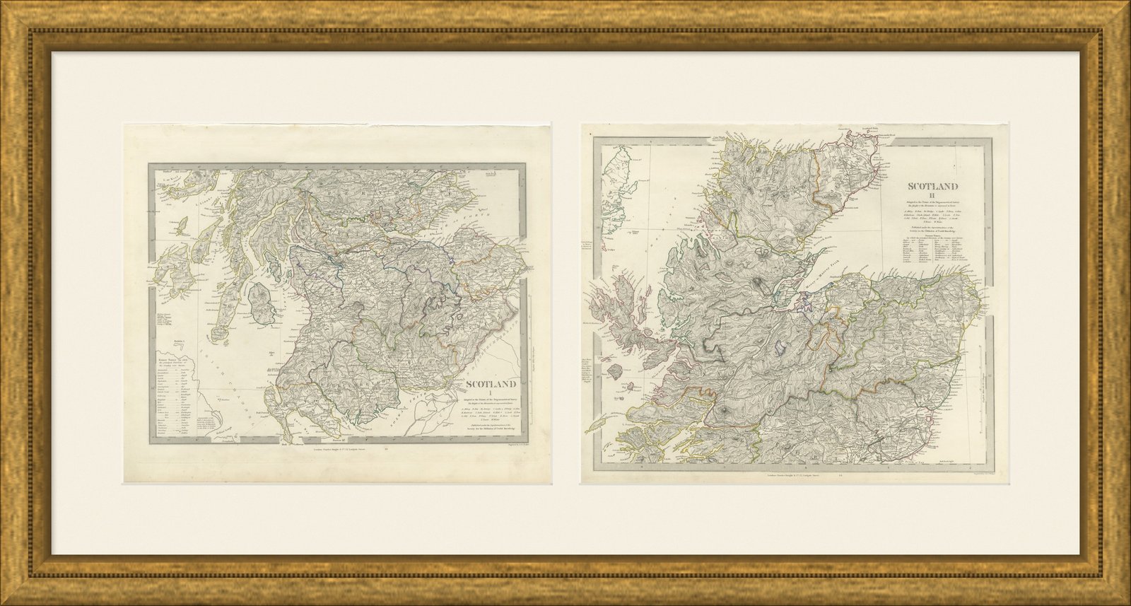
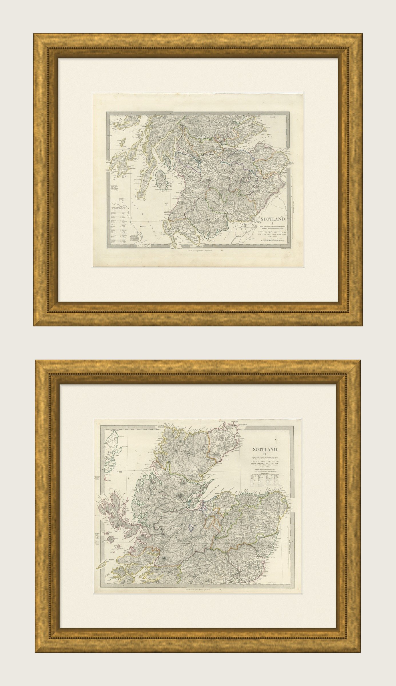
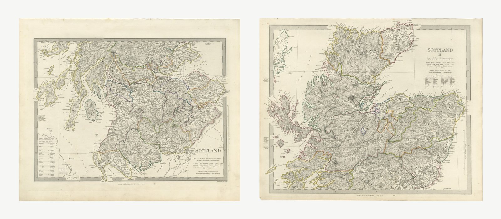
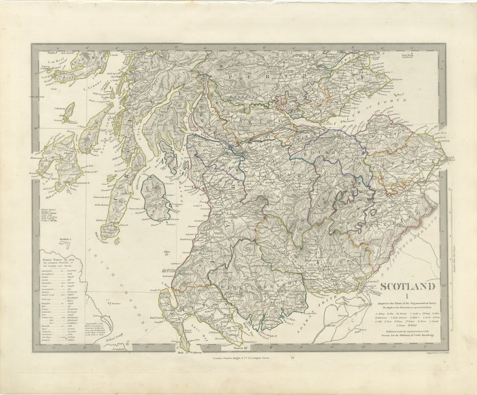
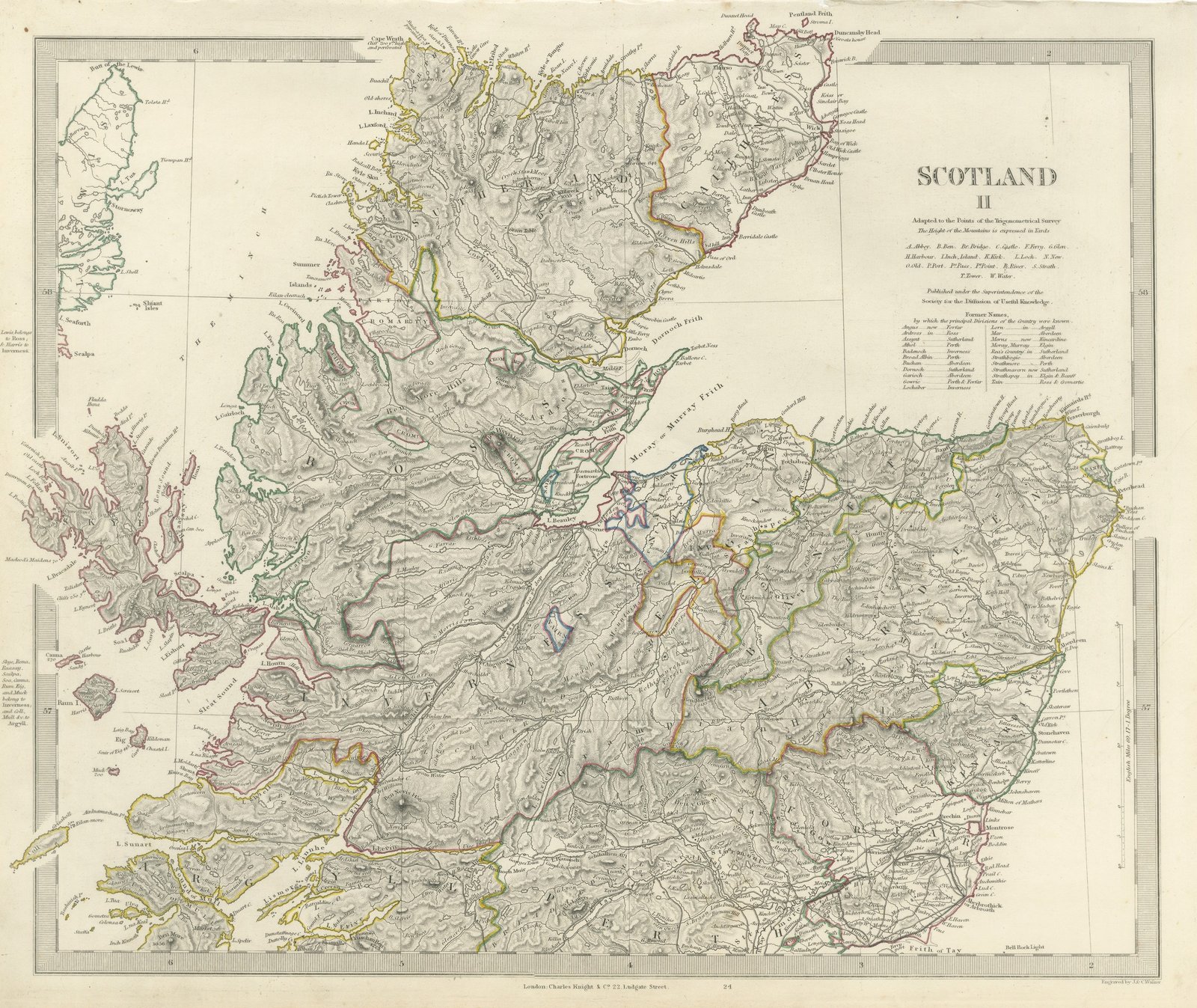
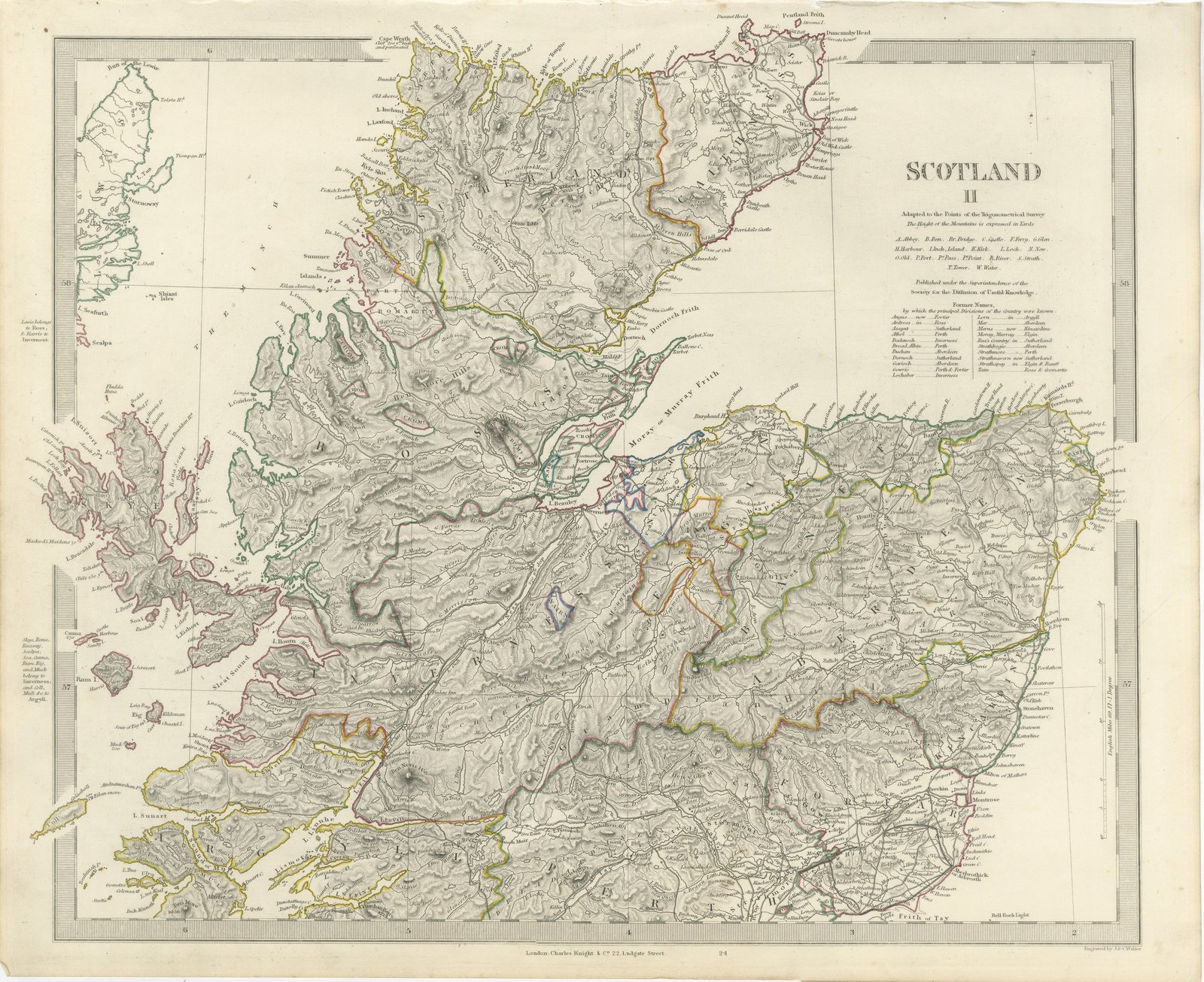
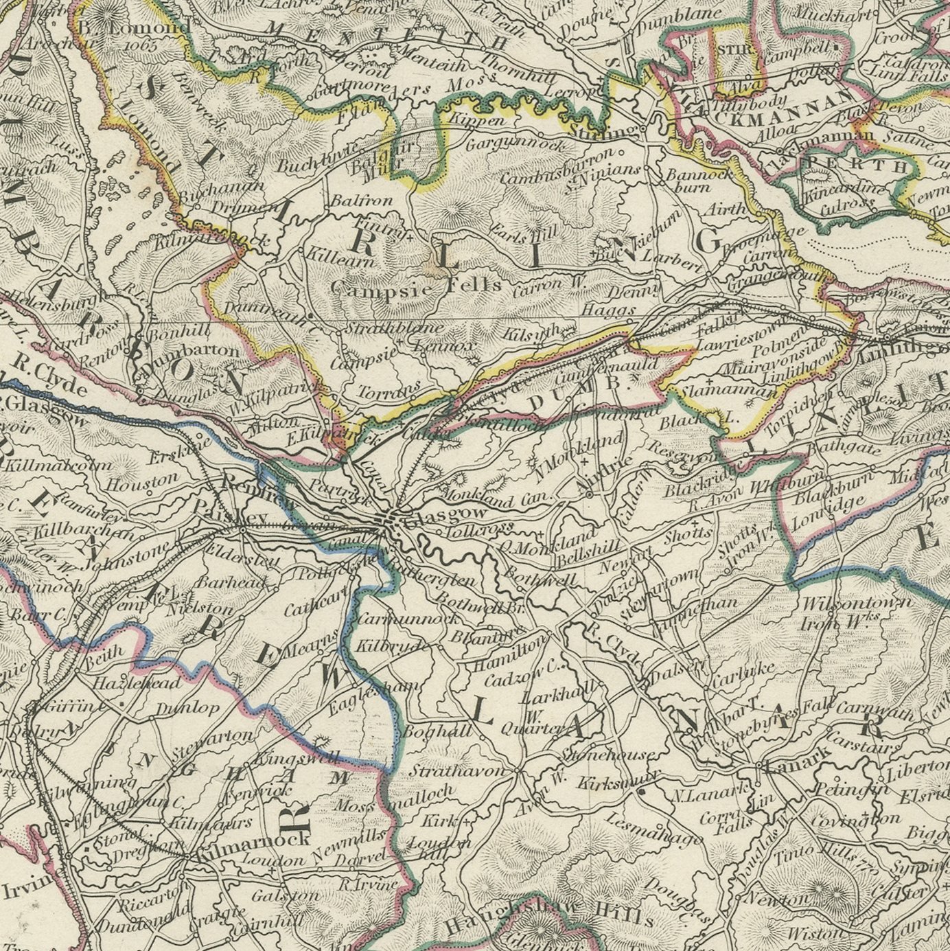
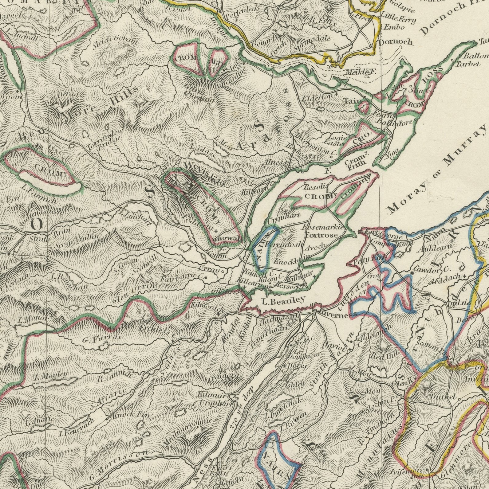
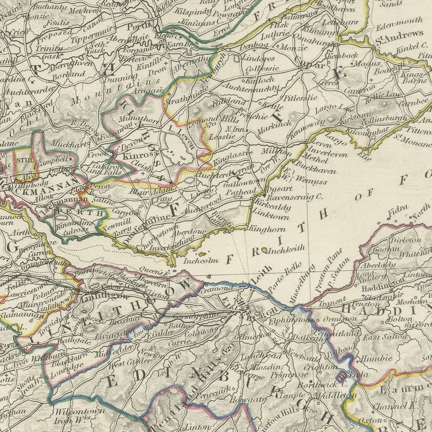
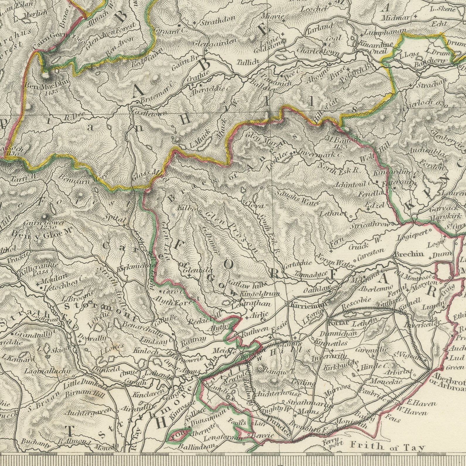
This is an original antique map of Scotland on the two sheets on which the Society for the Diffusion of Useful Knowledge printed the mainland in 1845, offered together as one set. The first sheet covers the whole of the south, with Edinburgh, Glasgow, Stirling, Perth, Ayr, Dumfries and the Border towns marked, the Firths of Forth and Clyde cut deep into the land, the Solway at the foot, and Mull, Jura, Islay, Colonsay and Arran lying in the Irish Channel. The second sheet takes up at the Highland line and runs north to Caithness and Duncansby Head, with Inverness, Aberdeen, Elgin, Banff, Dundee and Fort William marked, the Great Glen drawn from Loch Linnhe to the Moray Firth, and Skye, Rum and Eigg off the western coast. Both sheets are noted as adapted to the points of the trigonometrical survey, both give the heights of the mountains in yards, both carry an engraved table of the former names by which the principal divisions of the country were known, and both are colored by hand along the county boundaries.
The sheets come from Maps of the Society for the Diffusion of Useful Knowledge, in the new edition corrected to the present time that Charles Knight and Company published at 22 Ludgate Street, London, in 1845, whose first volume covers Europe. The Society was founded in 1826 by Henry Brougham and his circle to publish useful knowledge at a low price. Its maps were issued in parts from 1829, first by Baldwin and Cradock, from 1842 by Chapman and Hall and then by Charles Knight, and the series grew to about two hundred maps. Most of them were engraved on steel by John and Charles Walker, and the outline color was applied by hand.
The sheets of this set belong to one map and are sold together.
Two sheets, both age toned. Foxing in the margins of all of them. Handling wear to the corners of all of them.
The set is two original sheets sold together, never split. These are original antique maps, not modern reproductions. This item is sold unframed.