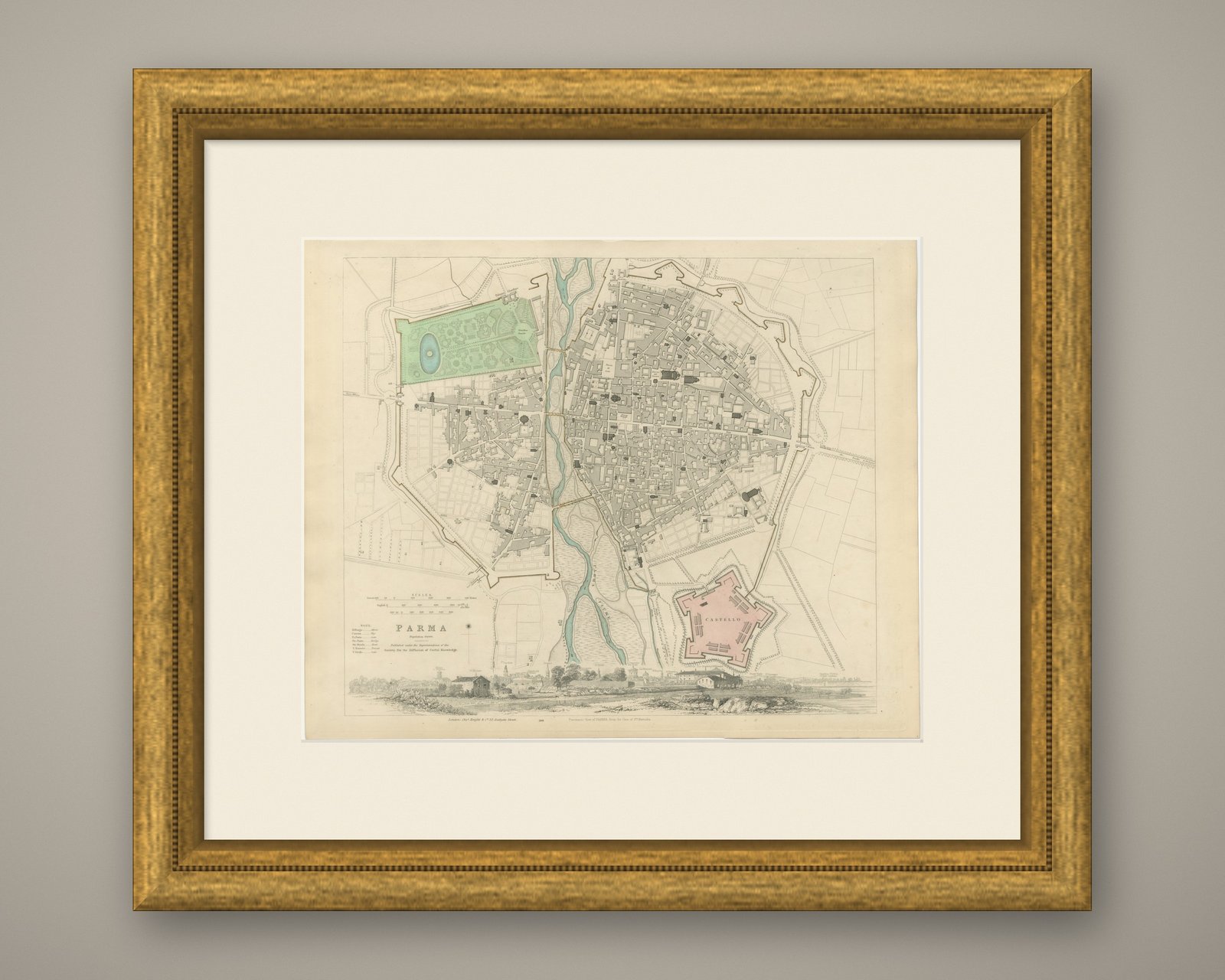
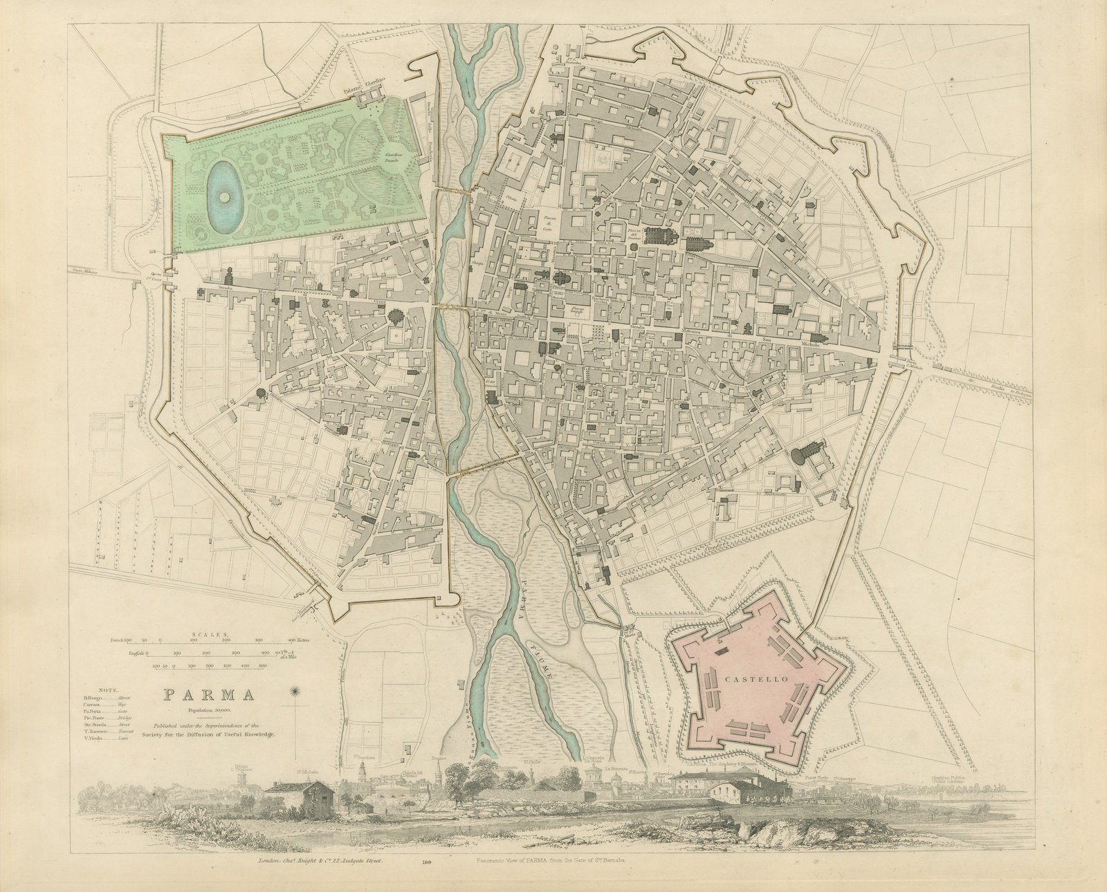
 The sheet, as you receive it
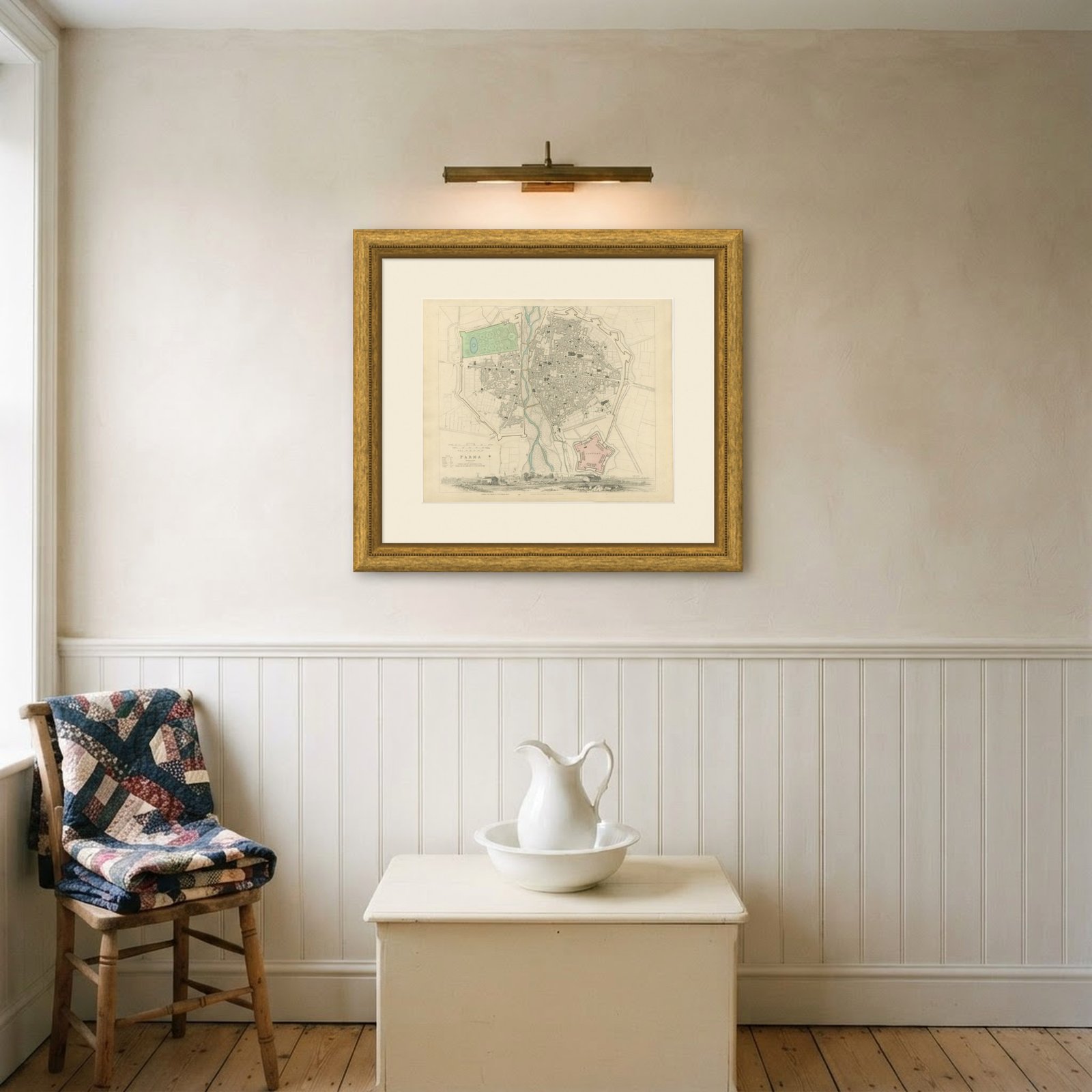
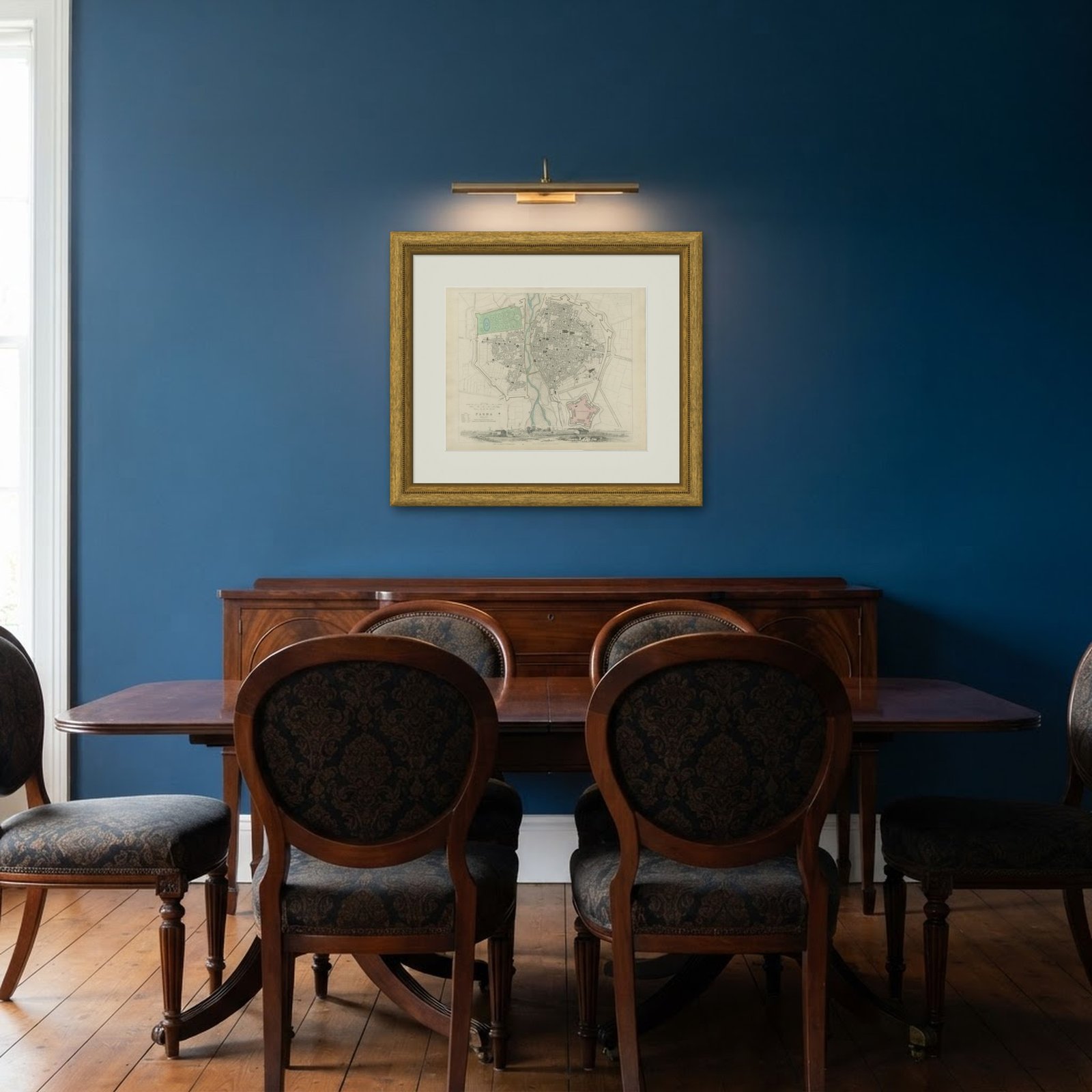 In the room
Interior designers: BarTrade members buy at their trade price. How it works
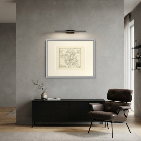
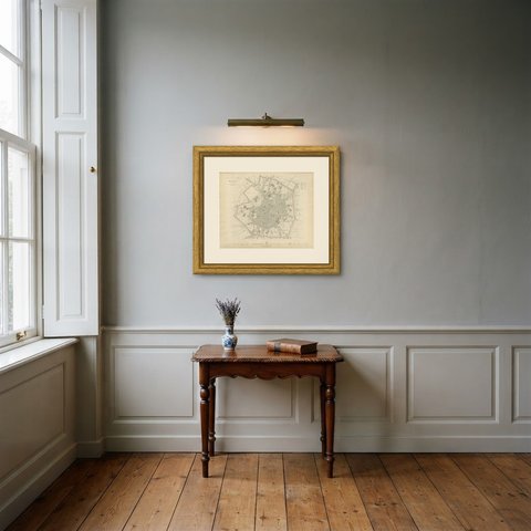
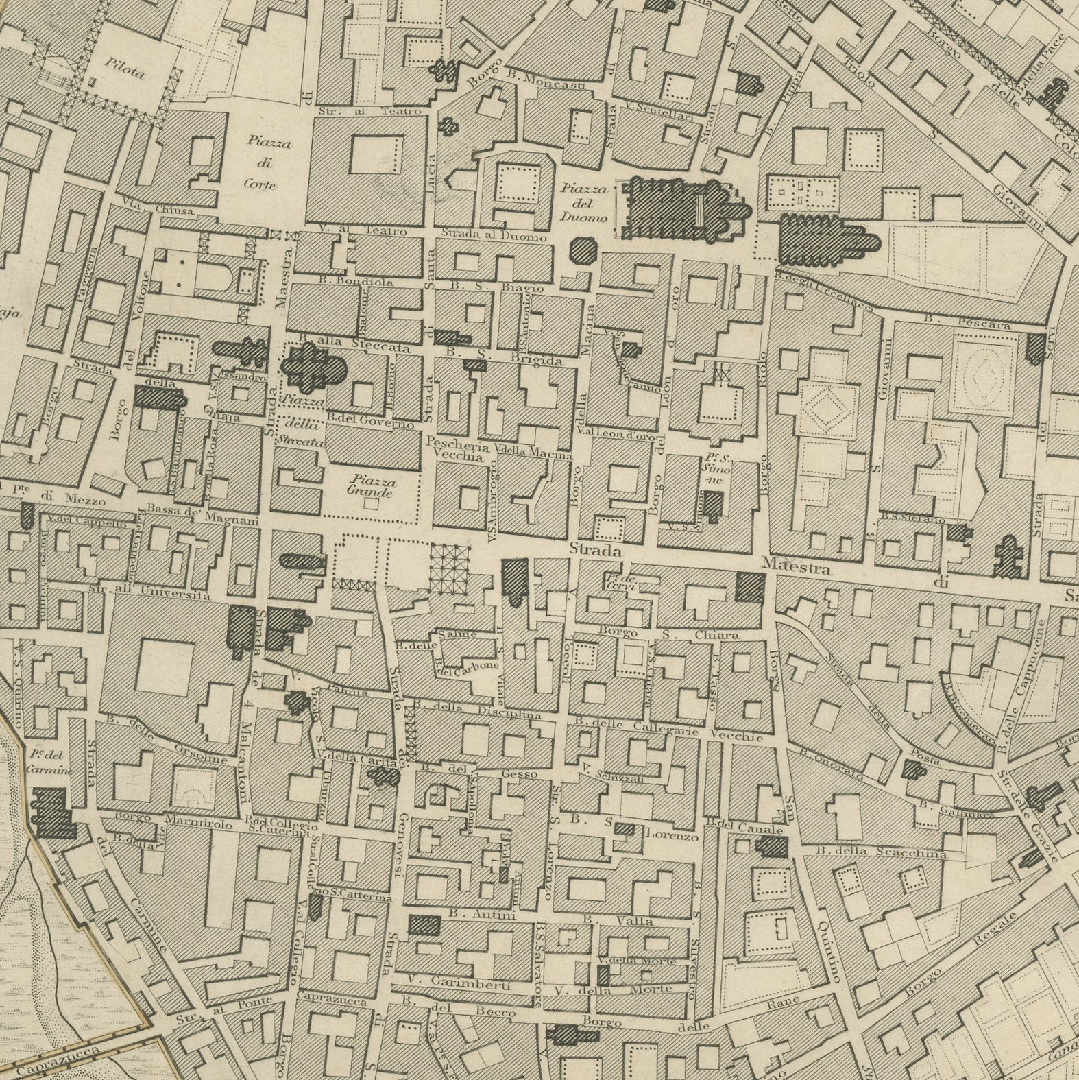
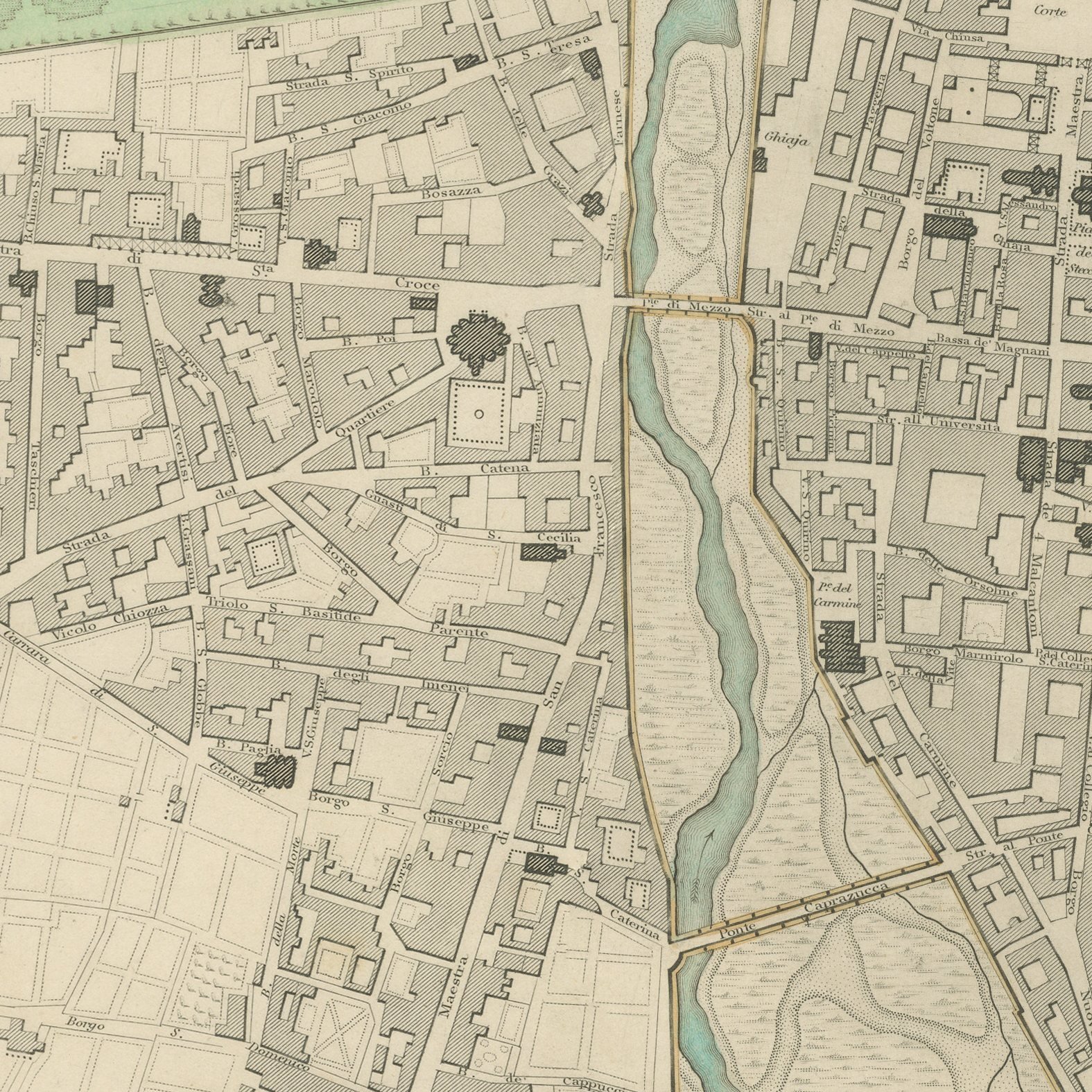
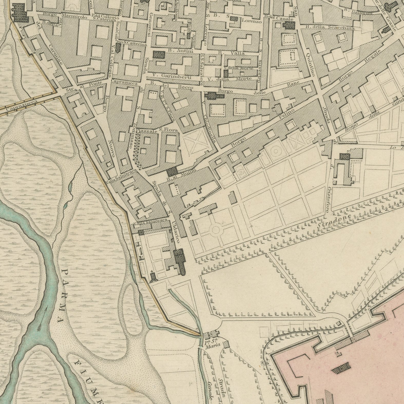
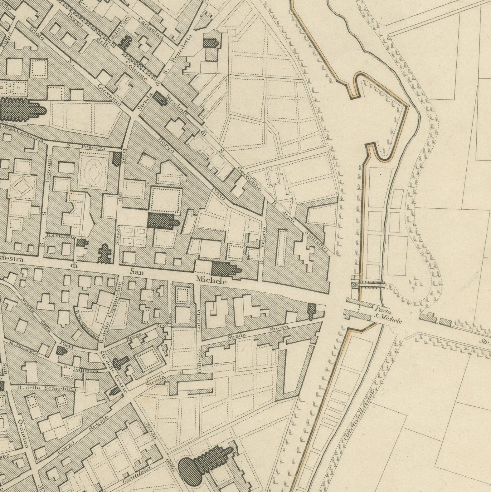
This is an original antique city plan of Parma, steel engraved and published in the atlas of the Society for the Diffusion of Useful Knowledge. The plan shows the small ducal capital astride the Parma torrent, with the Giardino Ducale and its formal parterres hand colored green to the northwest, the five pointed Castello in pink to the southeast and the Duomo and the Teatro Farnese marked in the old streets. The population is given as thirty thousand and a panoramic view of Parma from the Gate of Santa Barnaba runs along the foot. The outline and water coloring is original hand color, applied by the publisher before the sheet was bound into the volume.
It is plate number 199 of the third volume of the Society's atlas, published by Charles Knight and Company, 22 Ludgate Street, London, in 1847. Lord Brougham's Society set out to supply accurate maps at a price a clerk could afford, and the steel engraved city plans it produced between 1830 and 1847 remain the best series of town plans of their generation.
Parma was ruled at this date by Marie Louise, Napoleon's widow, who made it one of the most cultivated small courts in Europe, and the plan shows the city she left behind. It is one of the quieter sheets in the volume and all the more attractive for the clean green and pink of the garden and the citadel. Framed simply in dark wood or a plain gilt frame it suits a study, a hallway or a dining room, and it is a natural gift for anyone with a tie to the place.
Even age toning. Handling soiling along the bottom and left edges. All four corners complete.
This is an original antique map, not a modern reproduction. This item is sold unframed.