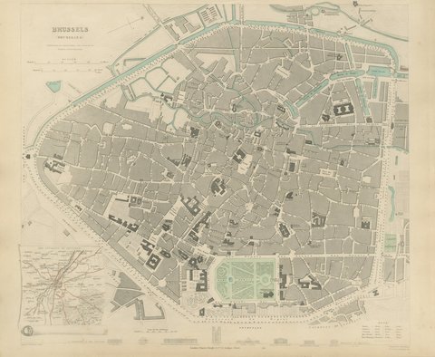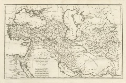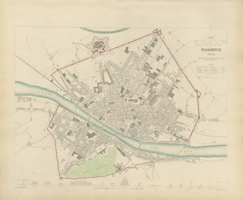
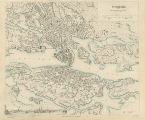
 The sheet, as you receive it
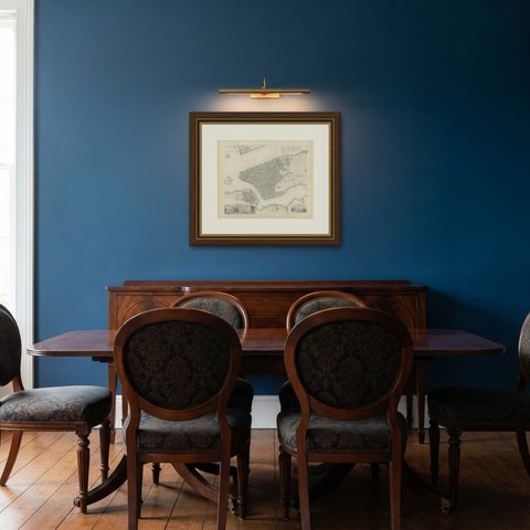
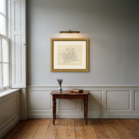
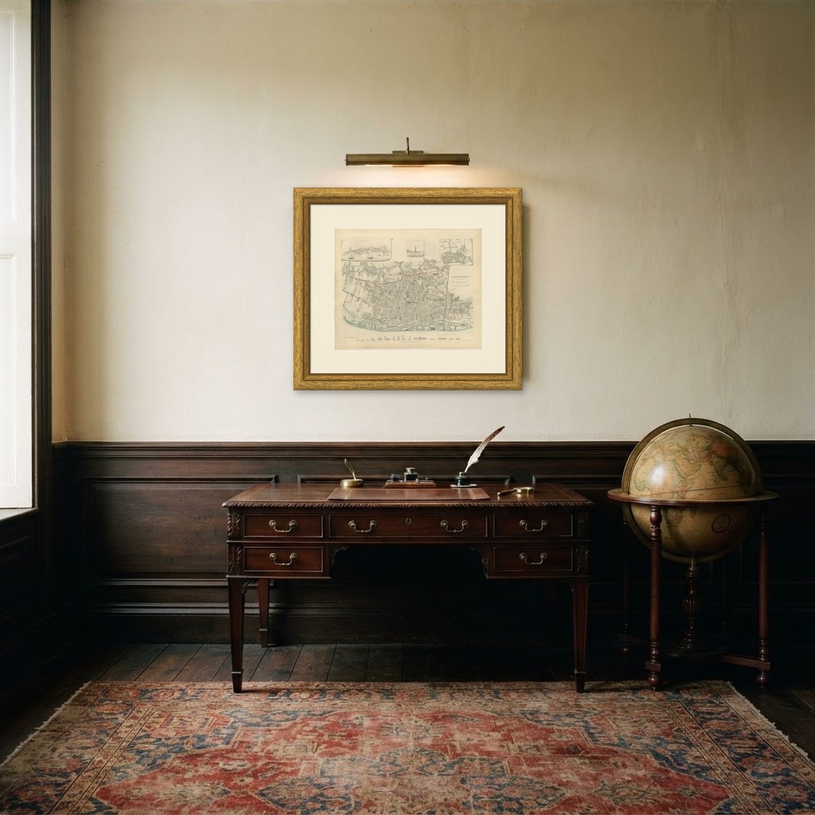 In the room
Interior designers: BarTrade members buy at their trade price. How it works
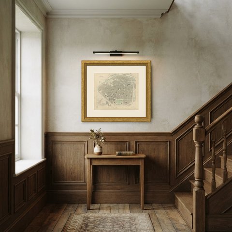
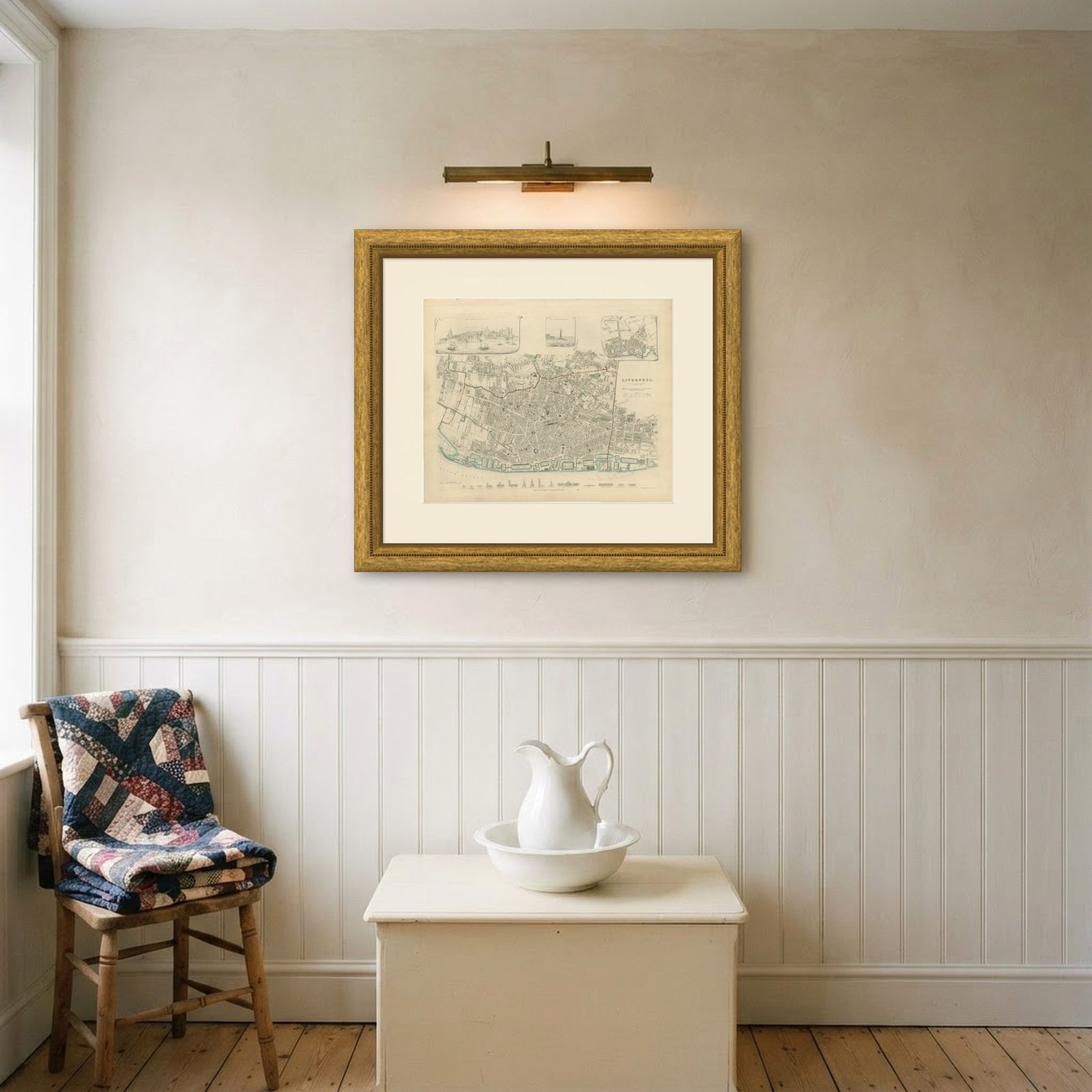
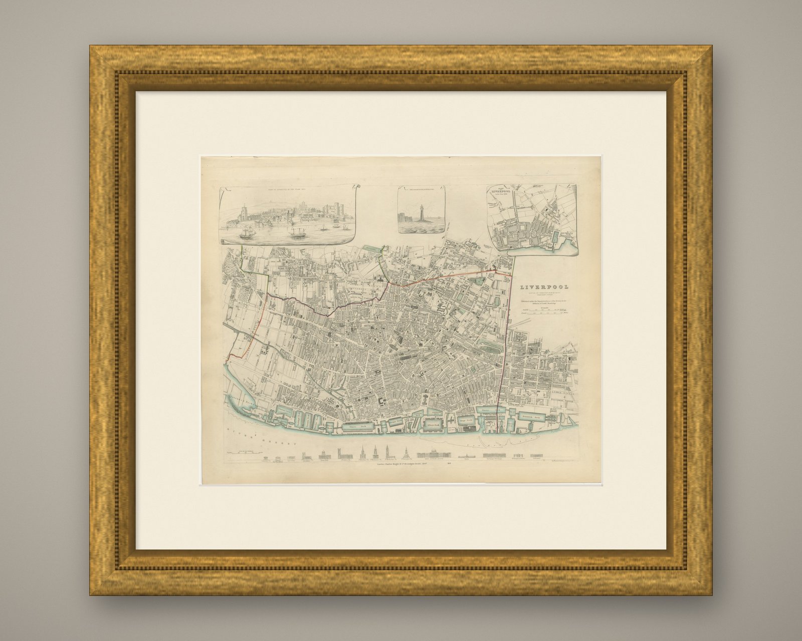
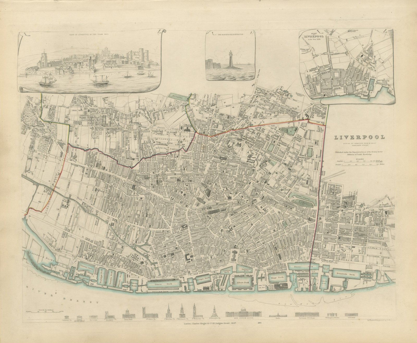
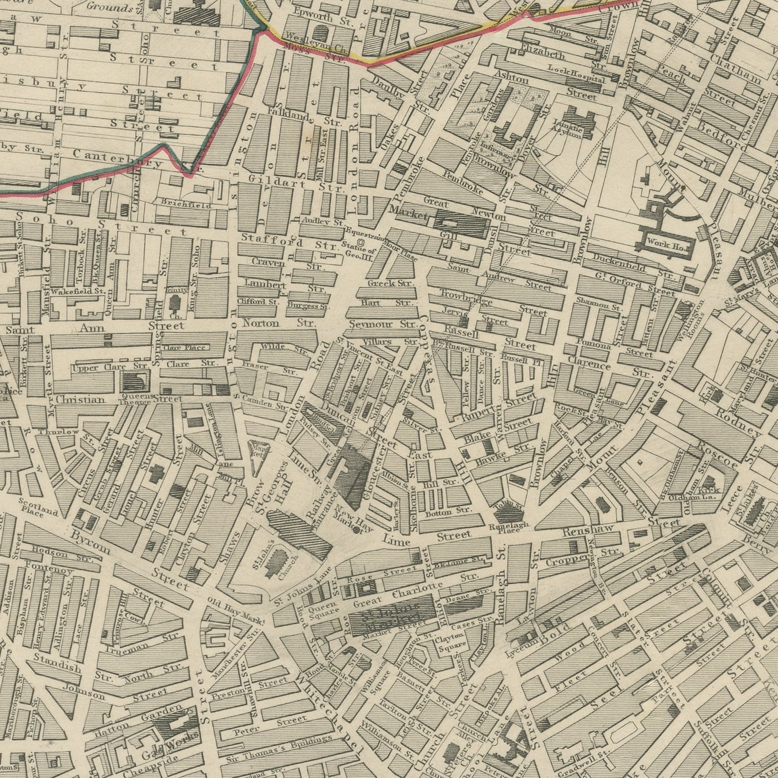
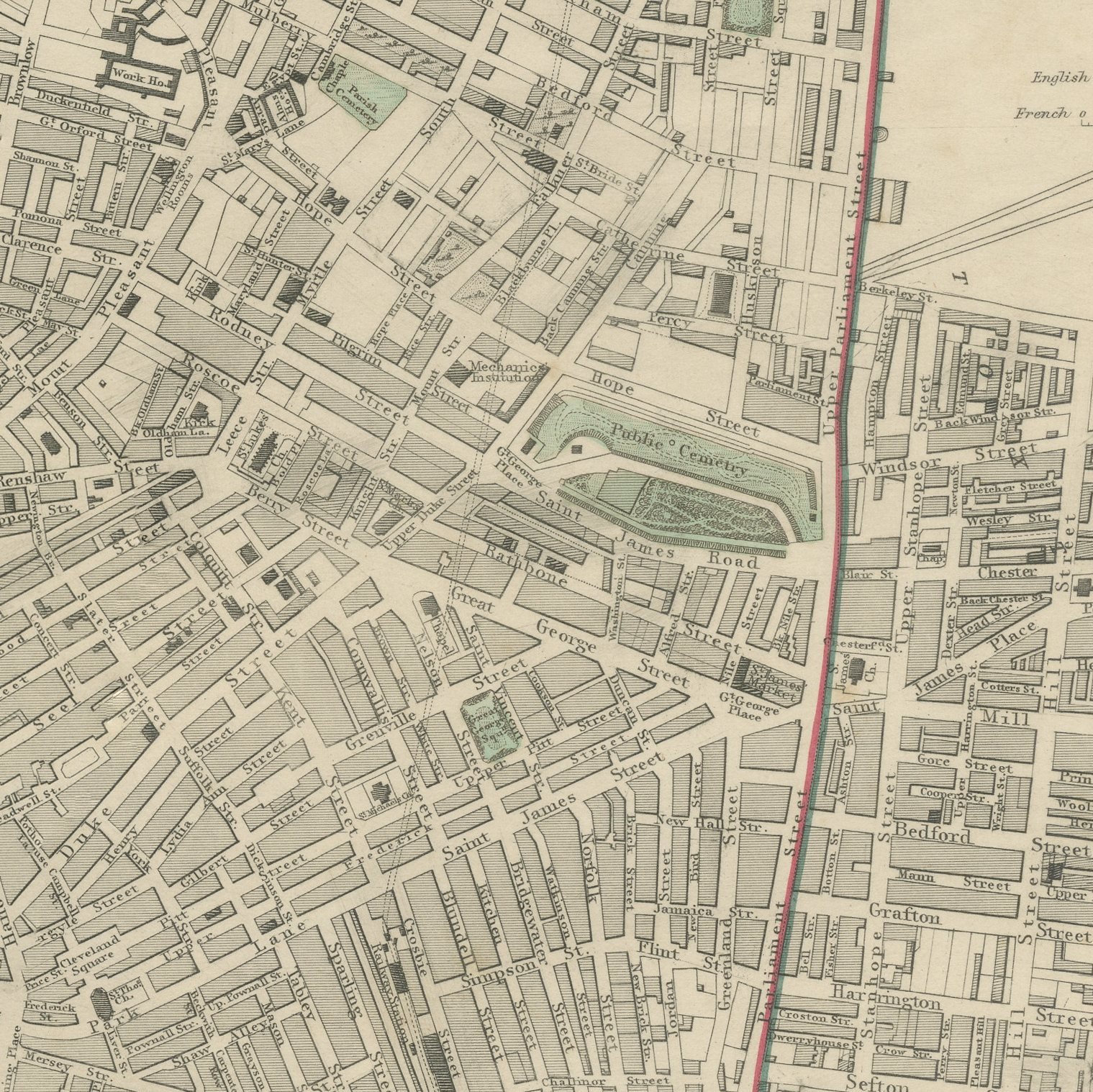
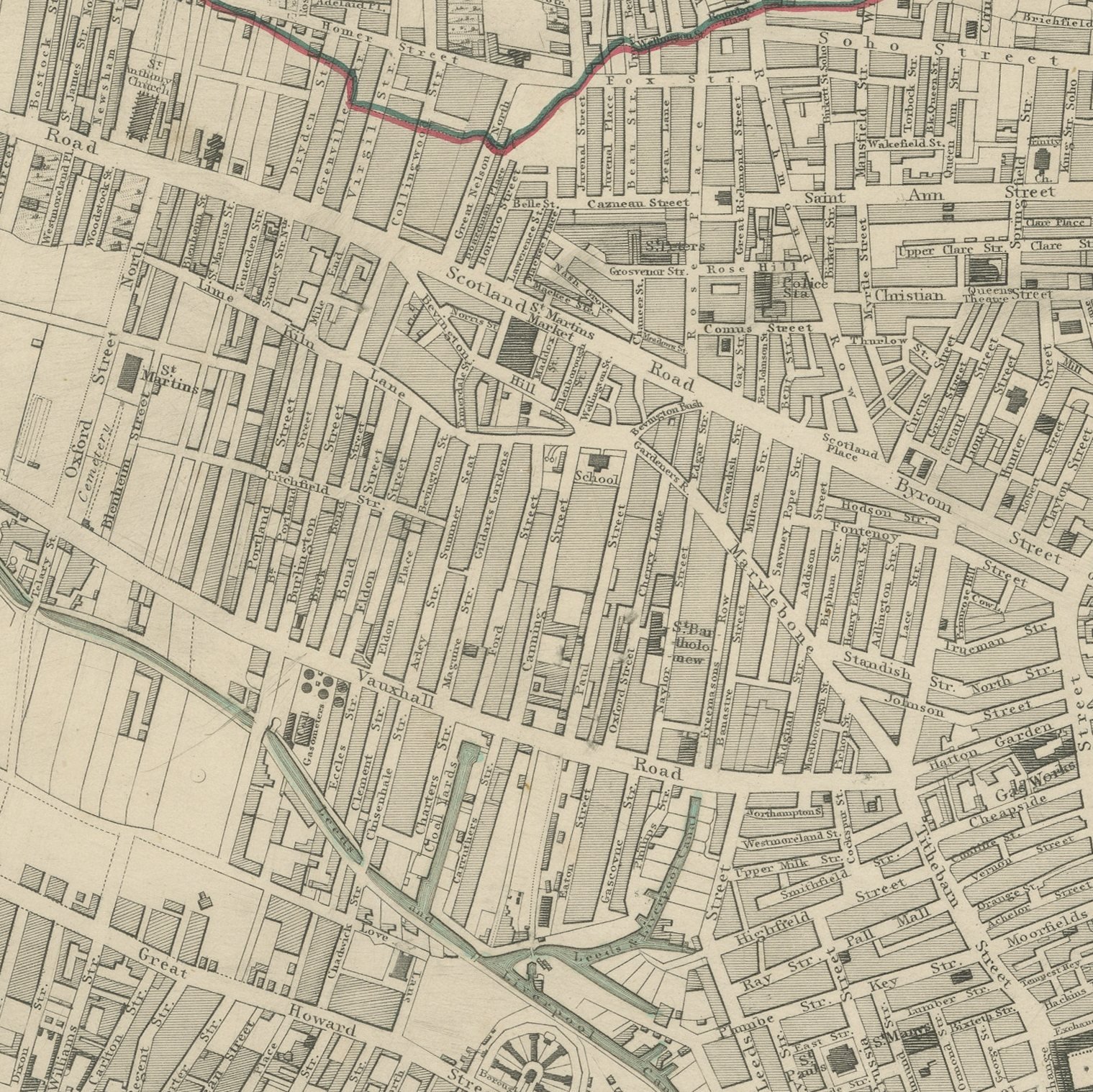
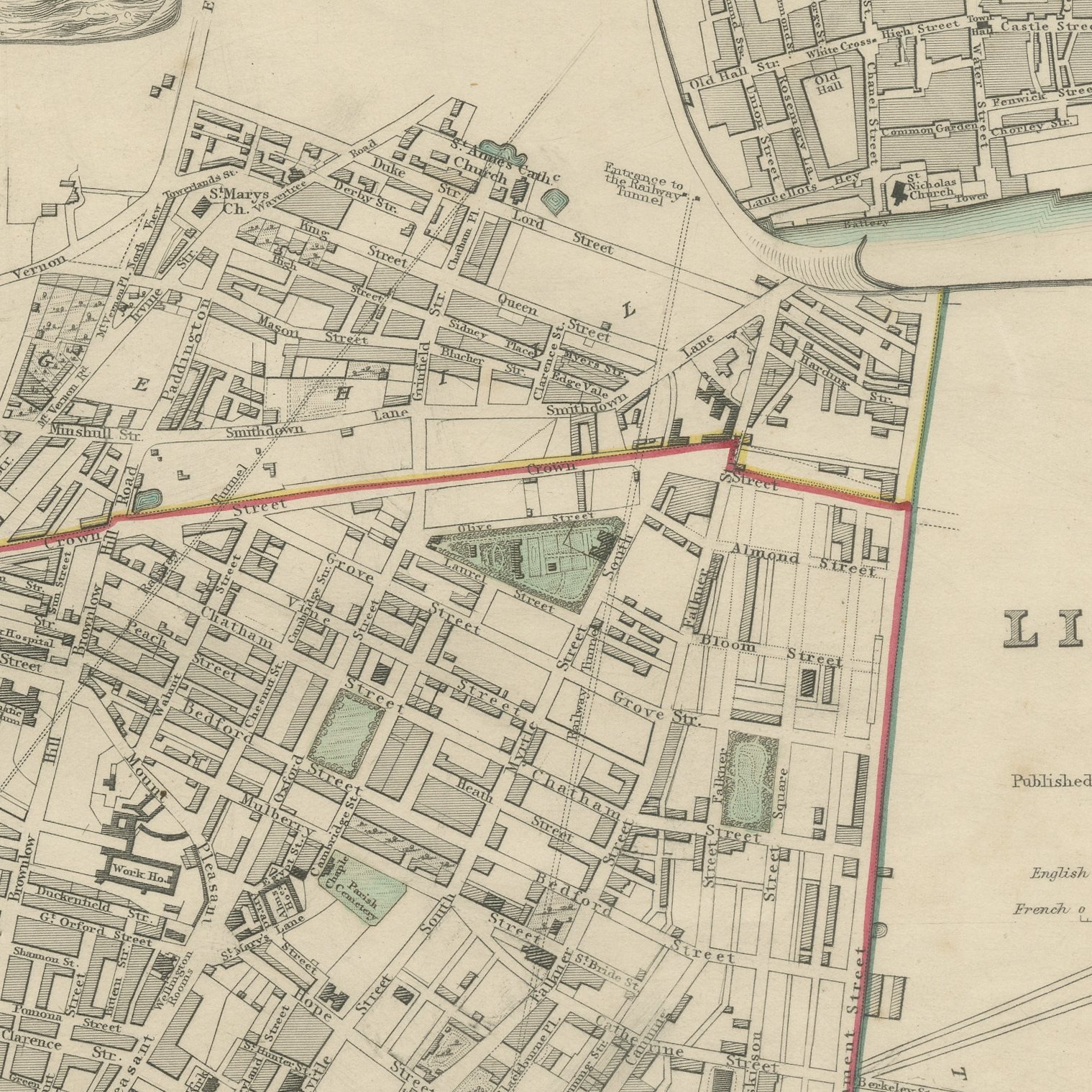
This is an original antique city plan of Liverpool, steel engraved and published in the atlas of the Society for the Diffusion of Useful Knowledge. The plan runs the whole line of the docks along the Mersey, with the Albert Dock newly opened, and carries the streets back through the town to the edge of the built area. Three vignettes sit on the sheet: a view of Liverpool in the year 1650, the Black Rock Lighthouse, and a plan of Liverpool in the year 1729. The lettering notes that it was reduced by permission from the Ordnance Survey. The outline and water coloring is original hand color, applied by the publisher before the sheet was bound into the volume.
It is plate number 184 of the third volume of the Society's atlas, published by Charles Knight and Company, 22 Ludgate Street, London, in 1847. Lord Brougham's Society set out to supply accurate maps at a price a clerk could afford, and the steel engraved city plans it produced between 1830 and 1847 remain the best series of town plans of their generation.
Setting a small town of 1650 and a modest plan of 1729 beside the dock system of 1847 on one sheet makes the growth of the greatest port of the Atlantic trade visible in a single glance. That comparison, and the Albert Dock arriving just in time to be drawn, gives the sheet its particular interest for Liverpool. Framed simply in dark wood or a plain gilt frame it suits a study, a hallway or a dining room, and it is a natural gift for anyone with a tie to the place.
Light uneven toning, browner toward the edges. Handling soiling along the bottom, left and right edges. A few small foxing spots in the margin. All four corners complete.
This is an original antique map, not a modern reproduction. This item is sold unframed.