 The sheet, as you receive it
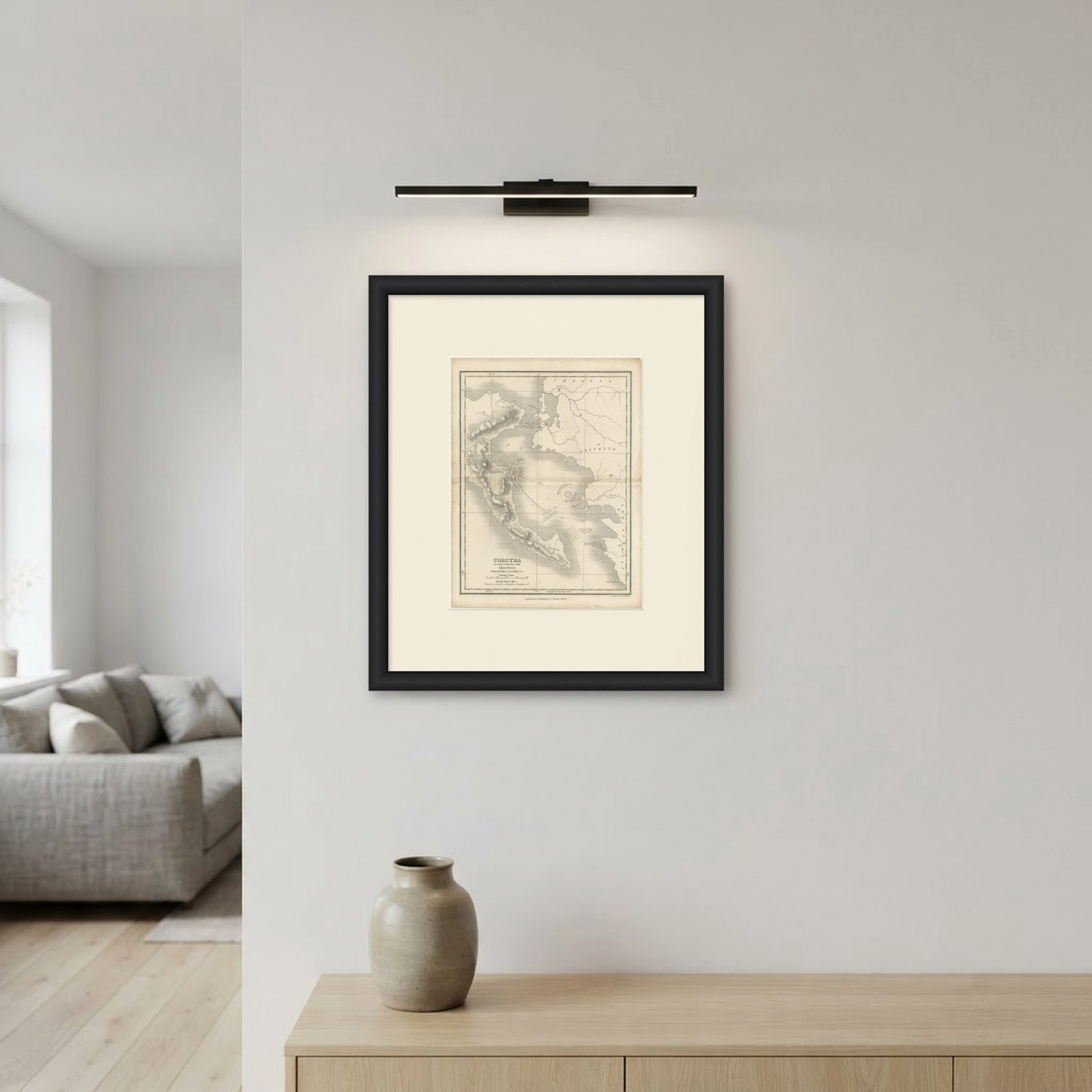
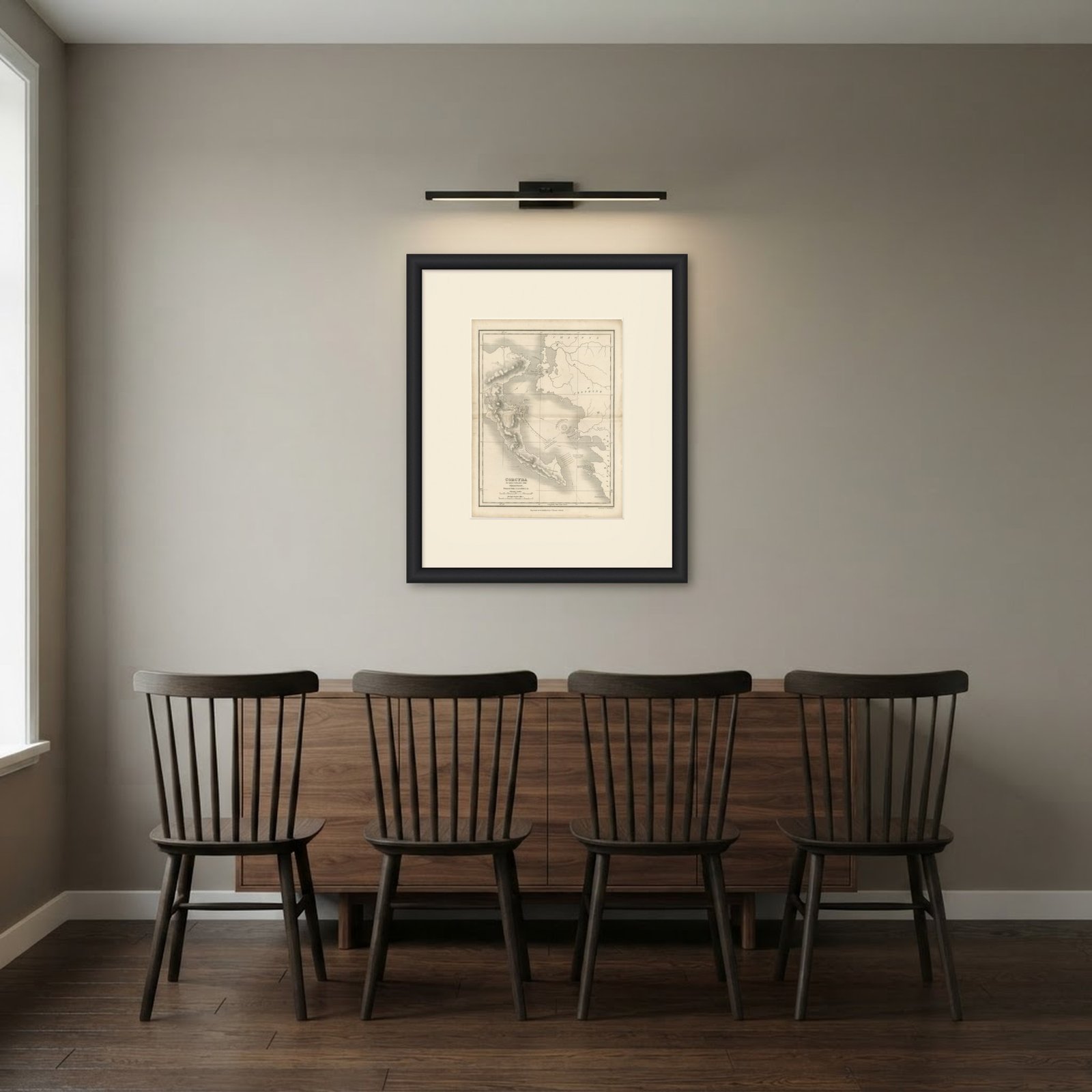 In the room
Interior designers: BarTrade members buy at their trade price. How it works
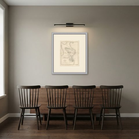
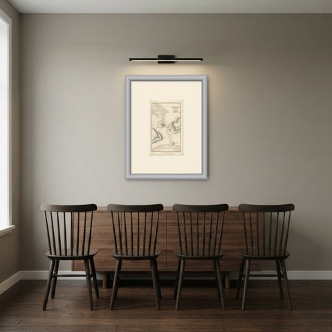
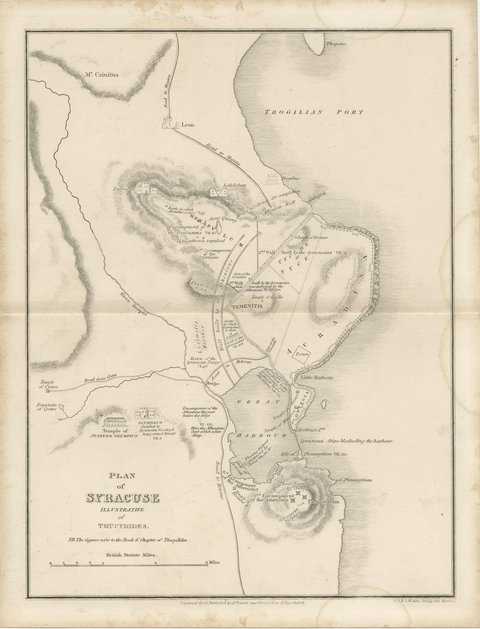
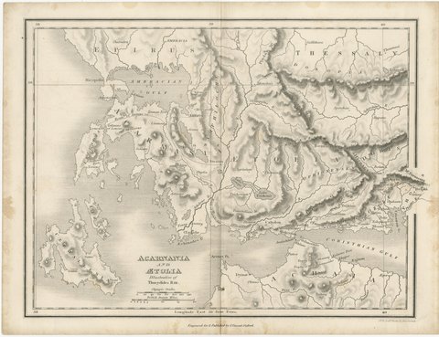
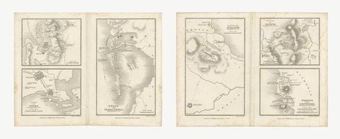
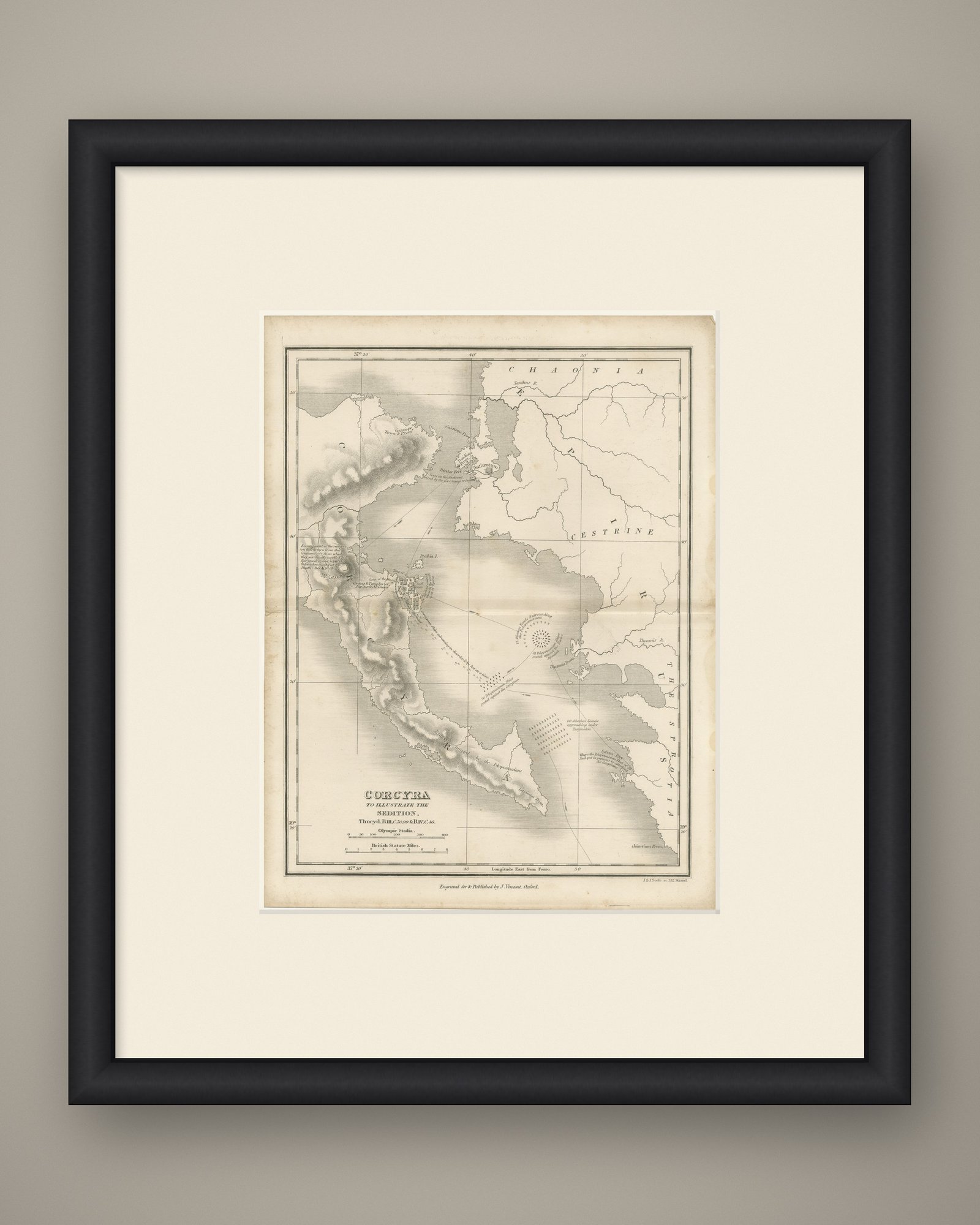
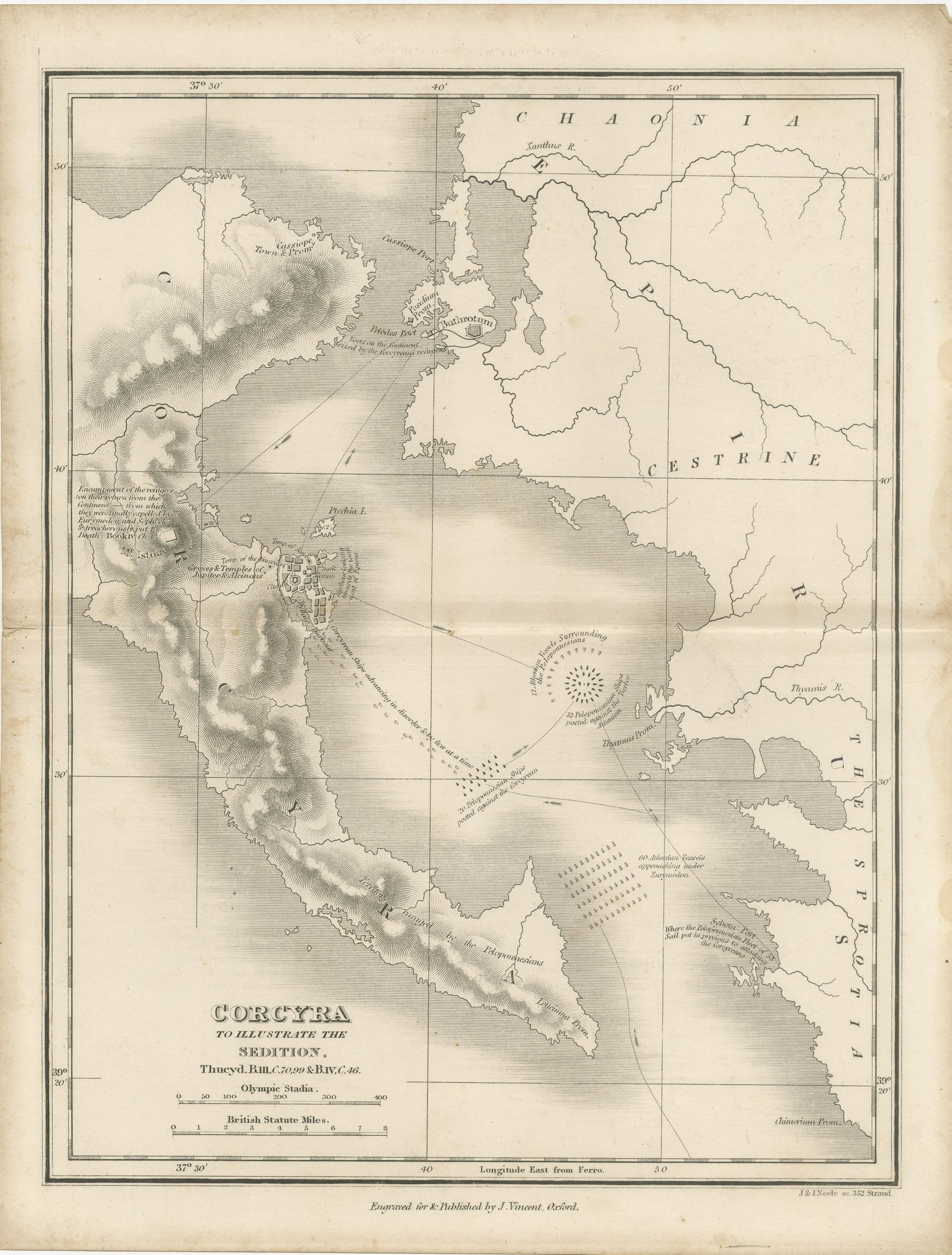
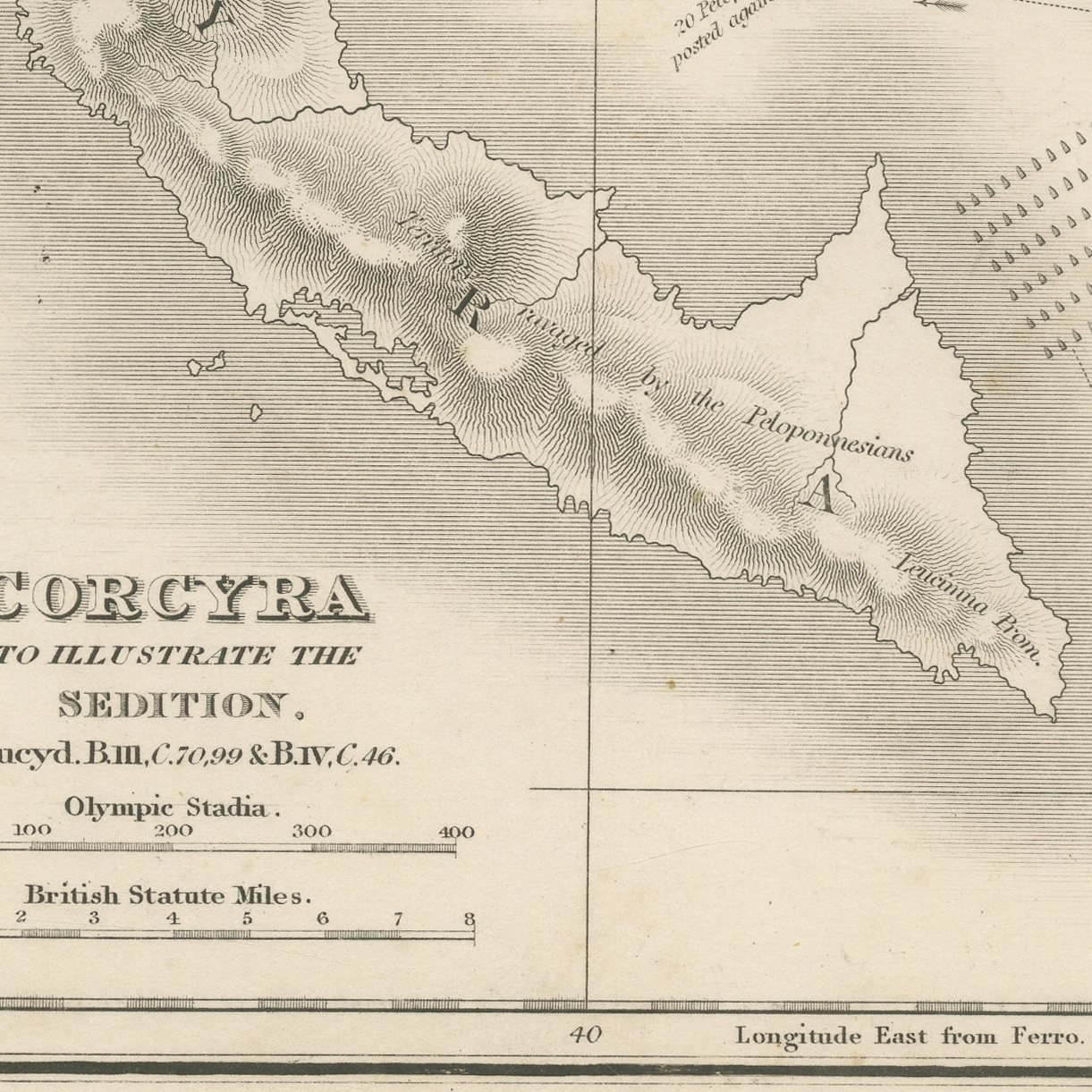
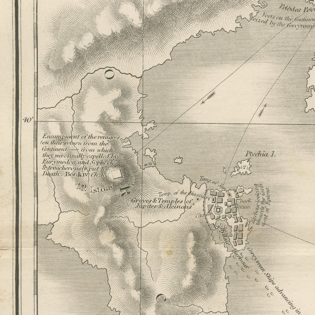
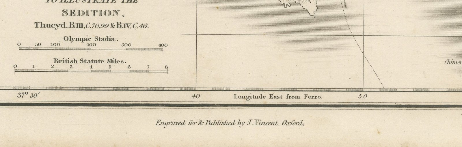
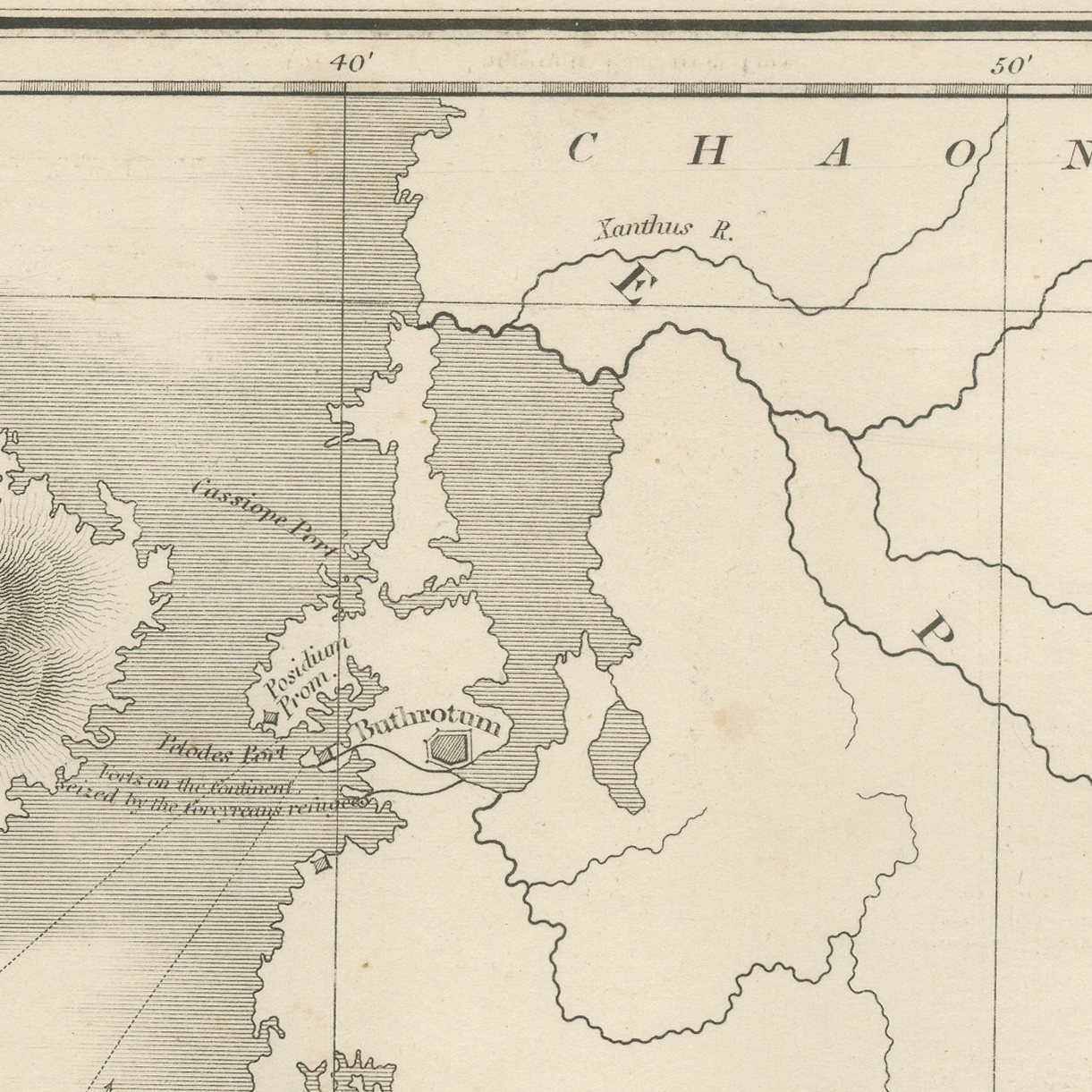
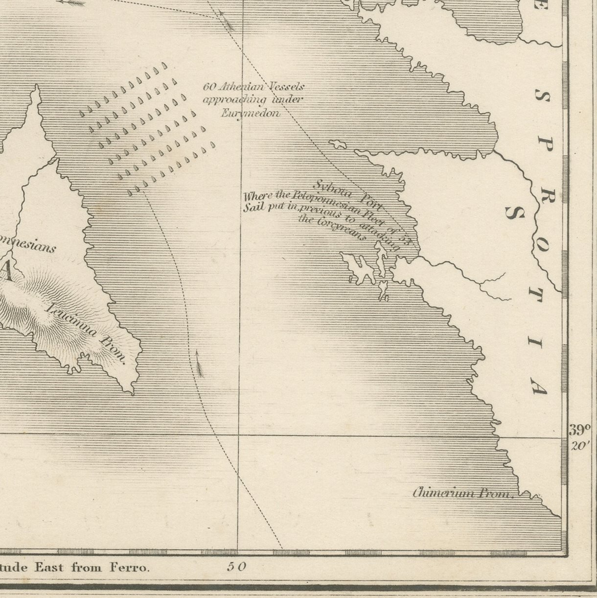
This is an original antique steel-engraved map of Corcyra, published at Oxford about 1850 in the atlas Maps and Plans illustrative of Thucydides. The island is shown entire, with the city and its harbors drawn at a larger scale and the sites named in the narrative lettered on the ground. The title states plainly what the map is for, to illustrate the sedition, and gives the three separate passages of Thucydides in which the Corcyraean civil war is told.
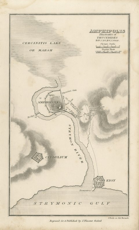
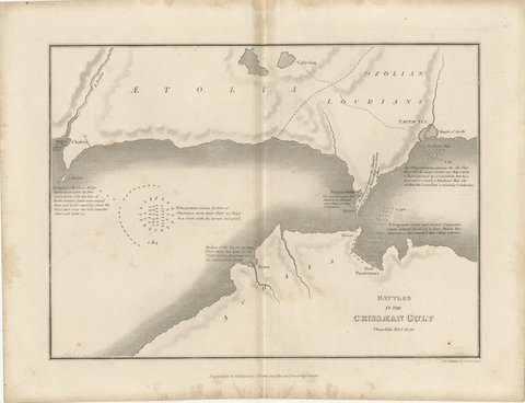
The sheet comes from Maps and Plans illustrative of Thucydides, the atlas published at Oxford by J. Vincent, with Whittaker and Co., Simpkin and Marshall, and Sherwood, Gilbert and Piper named as the London booksellers on the title page of this second edition. The atlas follows the text of Thucydides book by book, with general maps of the Greek world followed by plans of particular campaigns, sieges and battles, many of them lettered with the book and chapter they illustrate. The plates were engraved by J. and J. Neele of 352 Strand, London, with the hills in close hachuring and scales in Olympic stadia and British statute miles.
Corcyra is the island now called Corfu. The civil war there in 427 BC is the subject of a famous passage in the third book of Thucydides, on how civil strife changes the meaning of words. The map was made to follow that narrative, as its title says.
Moderate overall age toning, with darker along the left and top edges, foxing through the margins, one or two spots larger than the rest, stains in the margins and handling wear to the top right and bottom left corners.
This is an original antique print, not a modern reproduction. This item is sold unframed.