 The sheet, as you receive it
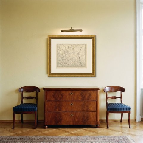
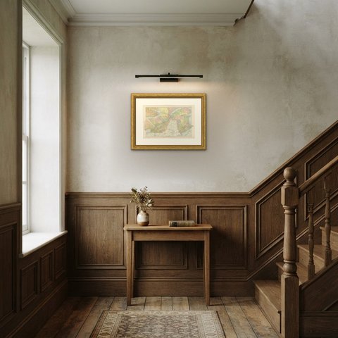
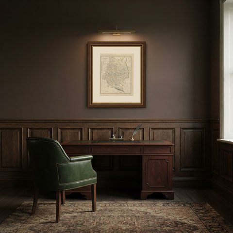
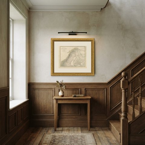
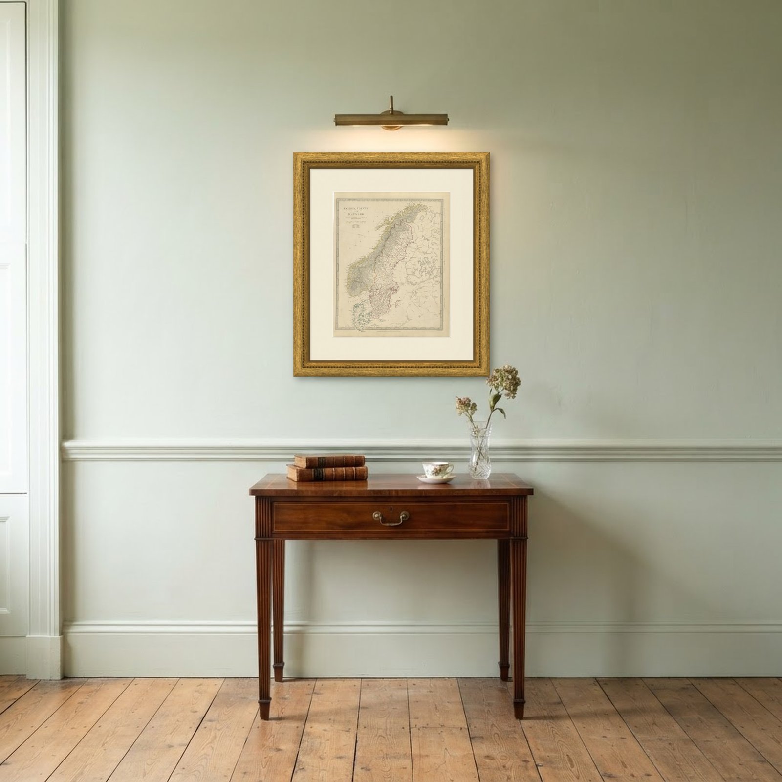 In the room
Interior designers: BarTrade members buy at their trade price. How it works
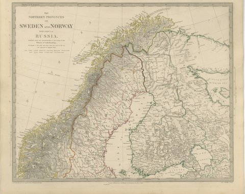
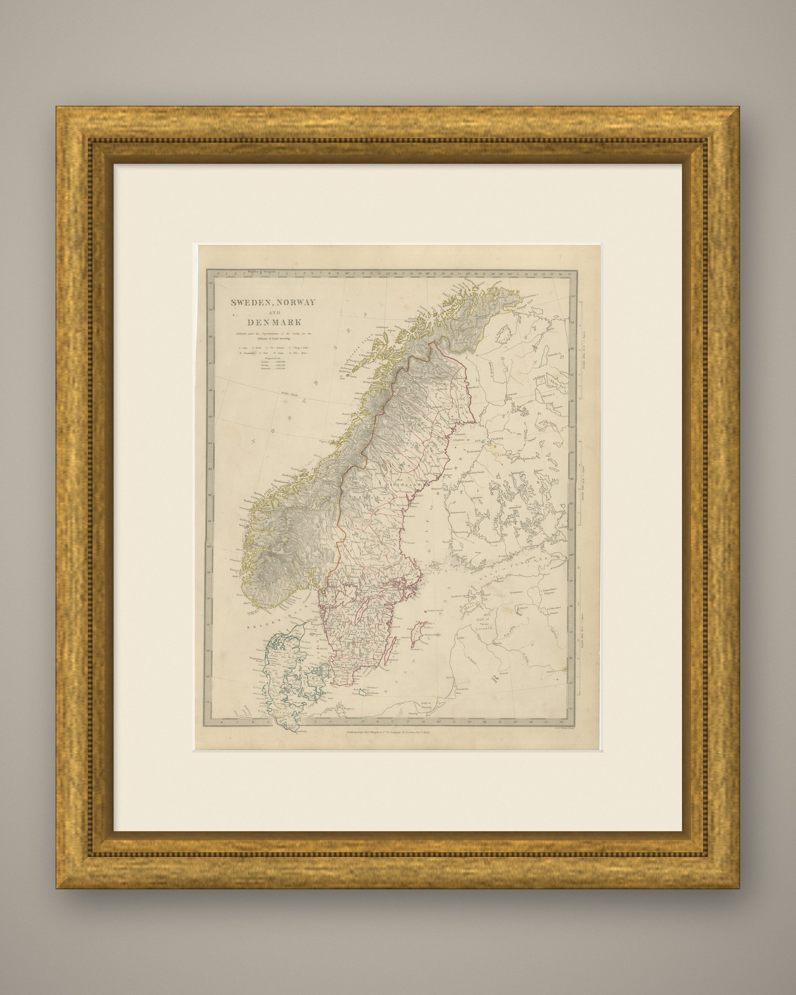
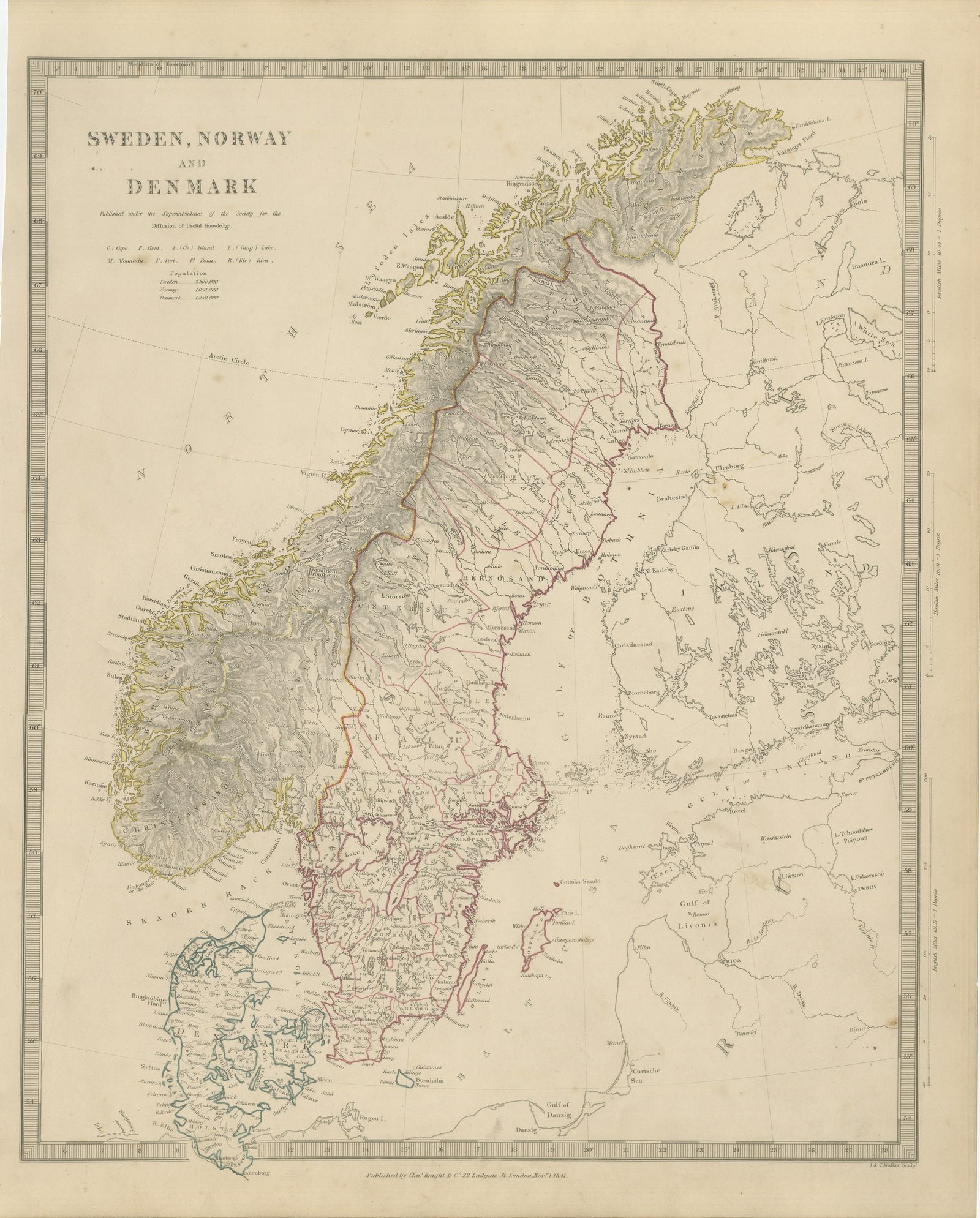
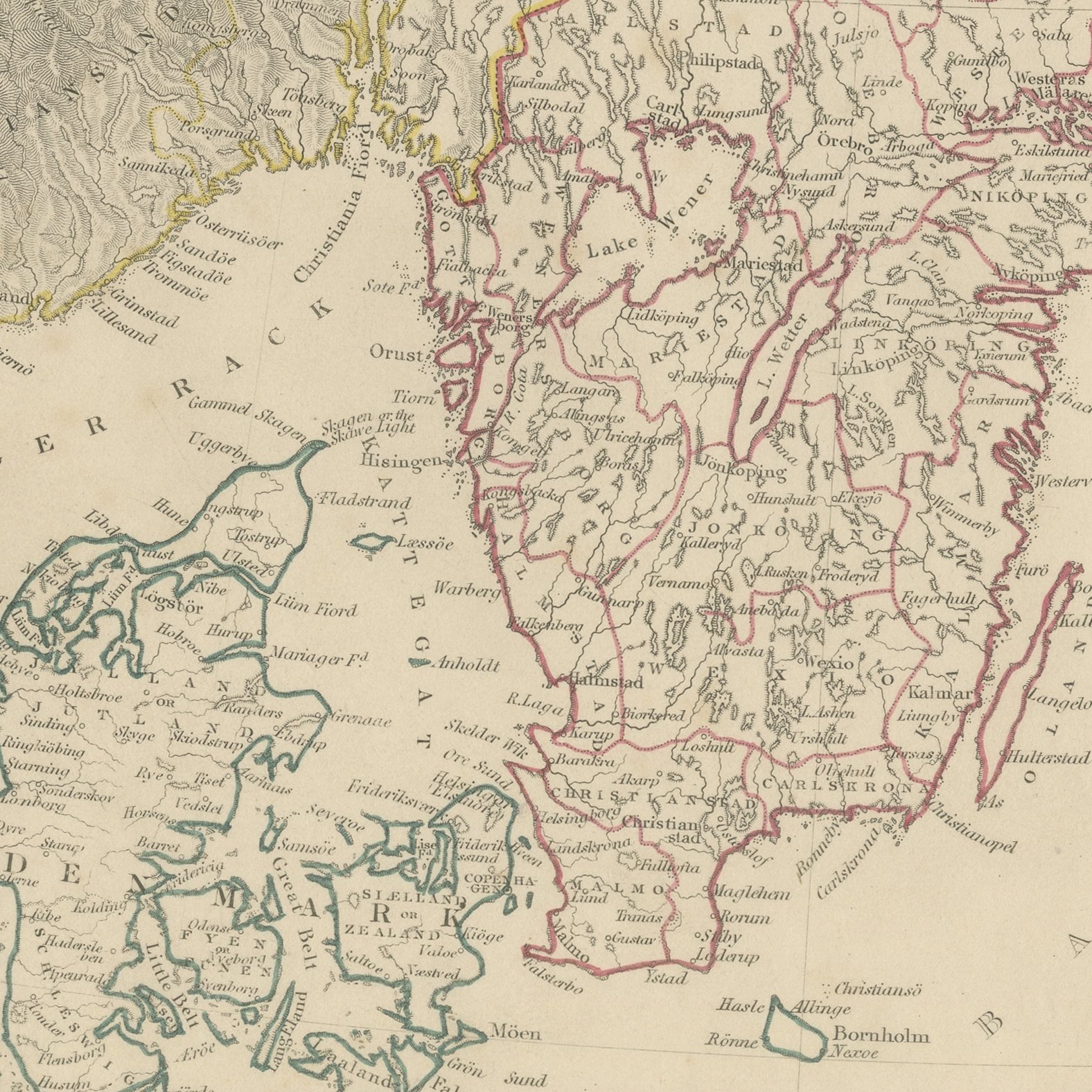
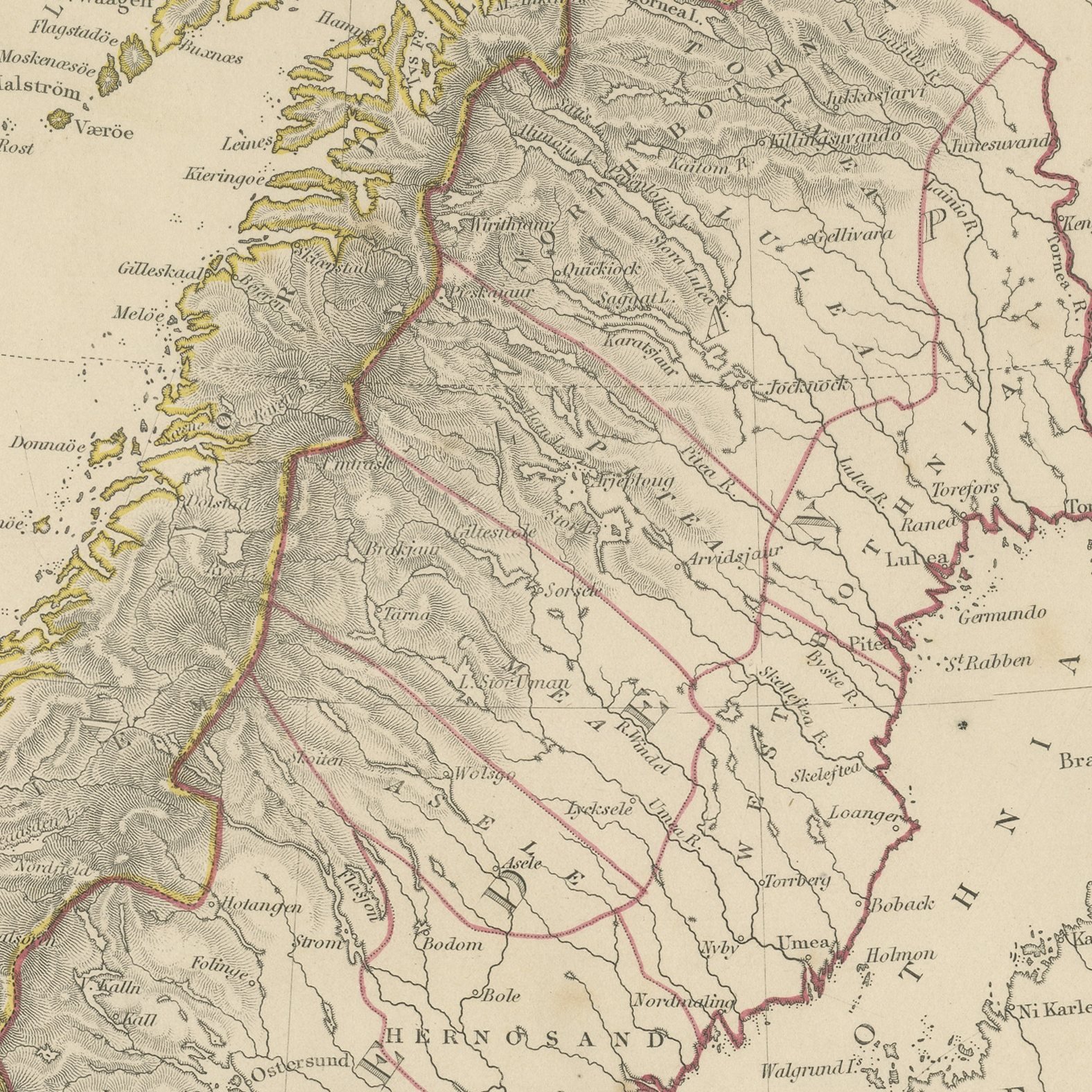
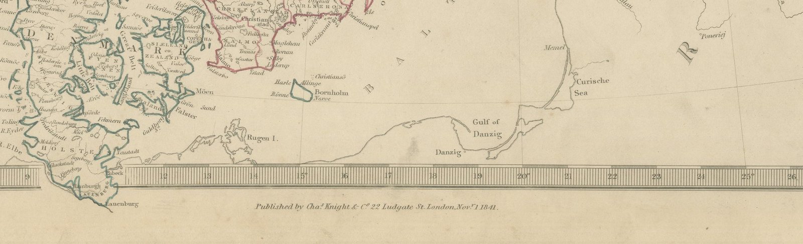
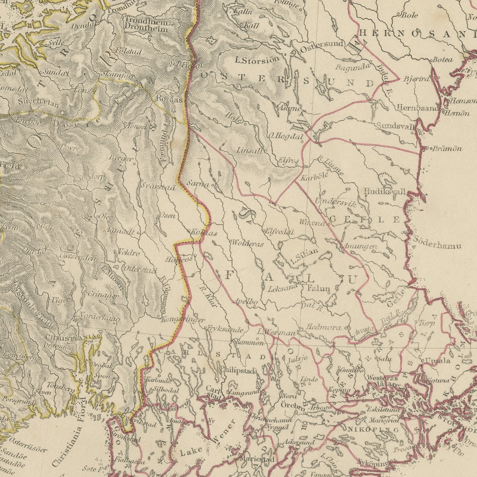
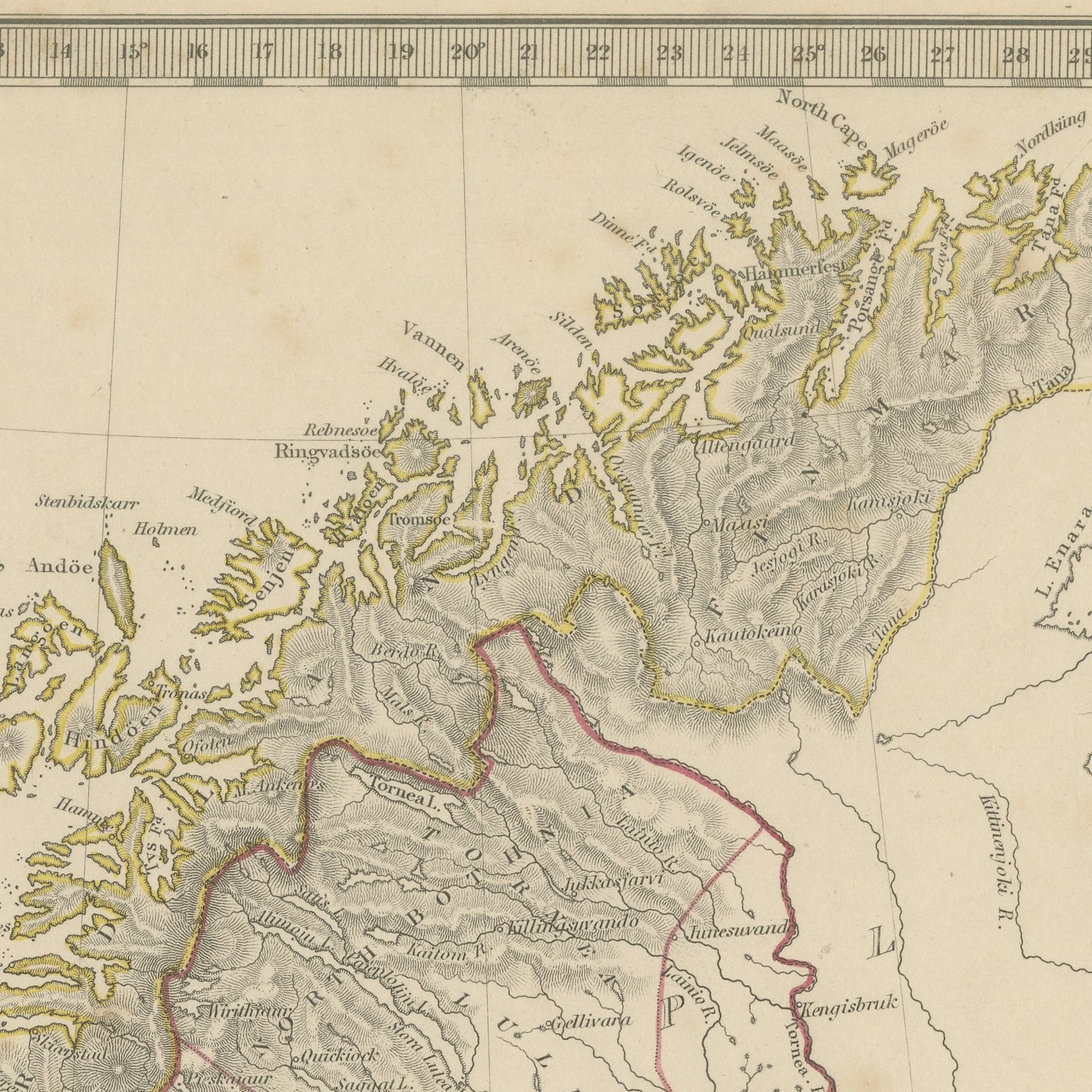
This antique map of Scandinavia, published in November 1841, gives Sweden, Norway and Denmark on one upright sheet, running from the North Cape and the Arctic Circle down to the Baltic and the north German coast. The Norwegian fjords are engraved along the whole western seaboard, the Kjolen mountains are drawn in dense hachure the length of the spine, and Sweden spreads east to the Gulf of Bothnia with its great lakes, Vener, Vetter and Malar, shown in full. Denmark lies at the lower left with Jutland, Funen, Zealand and the islands, and Bornholm sits in the Baltic. Finland and the Russian lands across the Gulf of Bothnia are given in outline with Abo and Saint Petersburg marked. Hand applied color in yellow, orange, red and green divides the three kingdoms, and an engraved note beneath the title gives the population of Sweden, Norway and Denmark.
The plate comes from Maps of the Society for the Diffusion of Useful Knowledge, in the new edition corrected to the present time that Charles Knight and Company published at 22 Ludgate Street, London, in 1845, whose first volume covers Europe. The Society was founded in 1826 by Henry Brougham and his circle to publish useful knowledge at a low price. Its maps were issued in parts from 1829, first by Baldwin and Cradock, from 1842 by Chapman and Hall and then by Charles Knight, and the series grew to about two hundred maps. Most of them were engraved on steel by John and Charles Walker, and the outline color was applied by hand.
The plate is signed by J. and C. Walker as engravers. The imprint at the foot names Charles Knight and Company of 22 Ludgate Street, London and is dated 1 November 1841.
Strong age toning, the paper a warm buff, with the paper darker along the right edge, foxing through the margins, one or two spots larger than the rest, stains in the margins and handling wear to the top left and bottom right corners.
This is an original antique map, not a modern reproduction. This item is sold unframed.