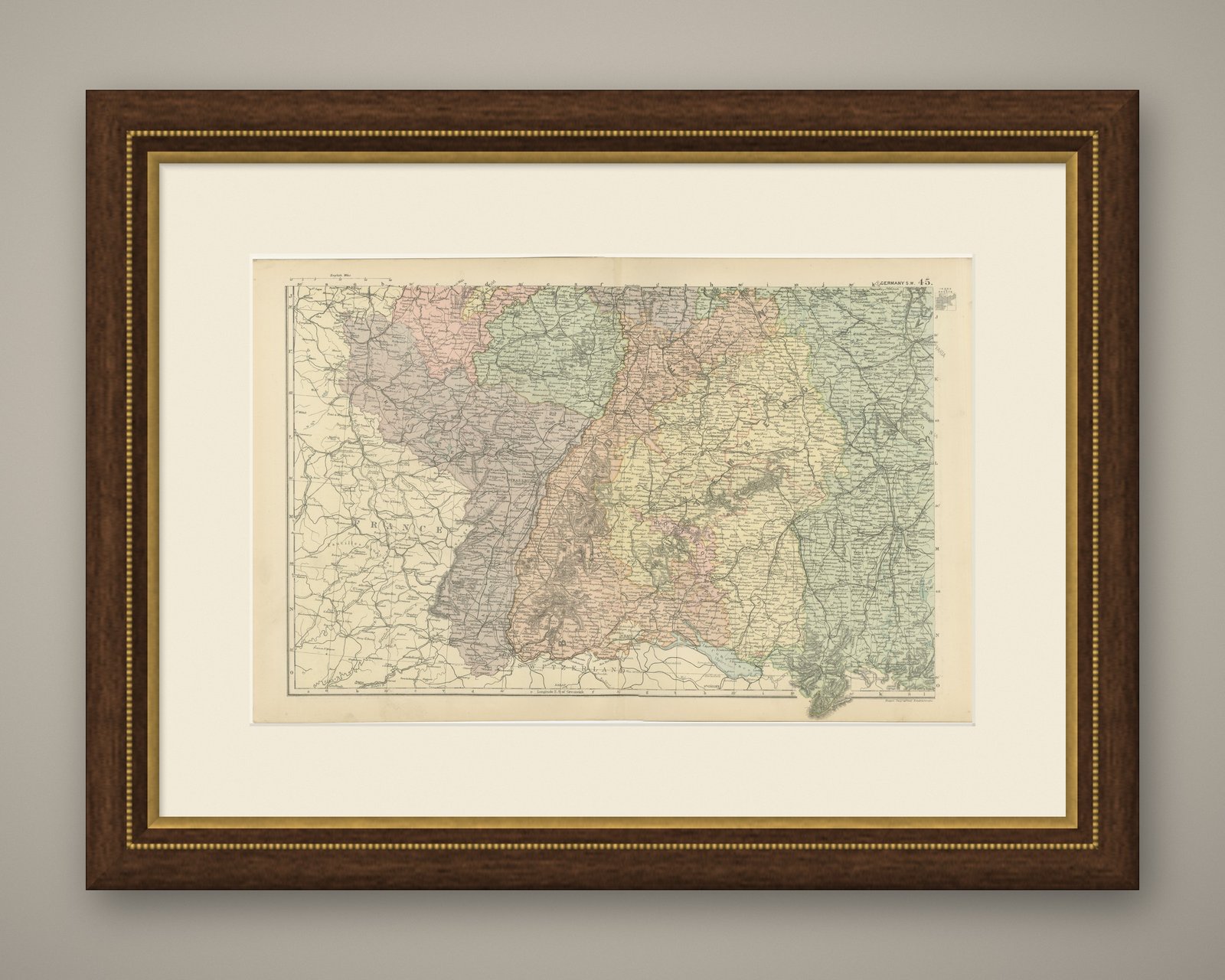
 The sheet, as you receive it
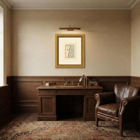
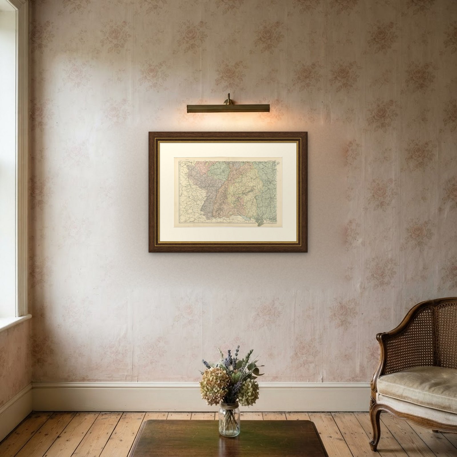
 In the room

Interior designers: BarTrade members buy at their trade price. How it works
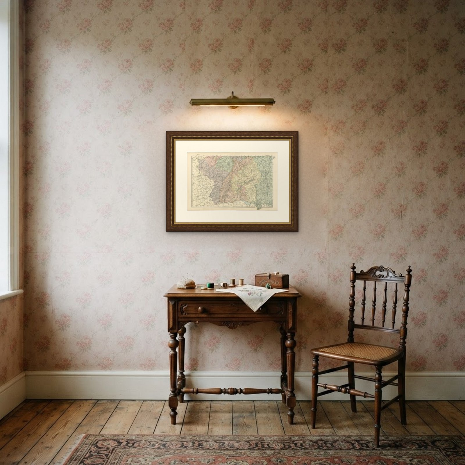
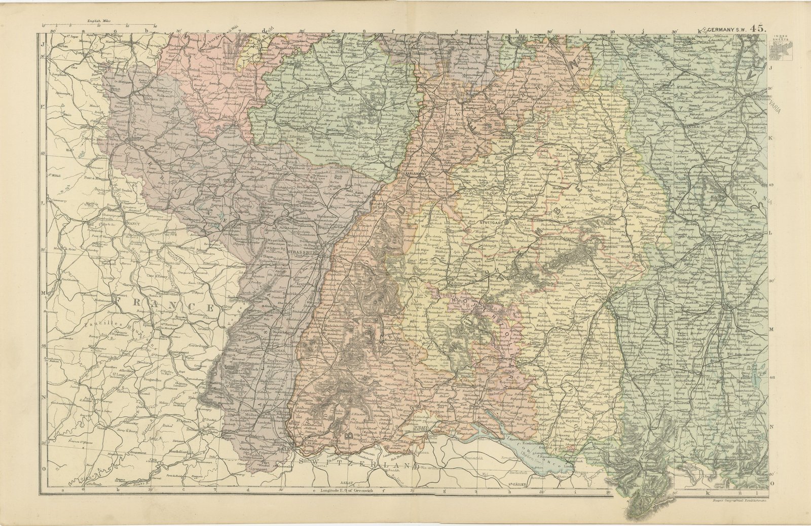
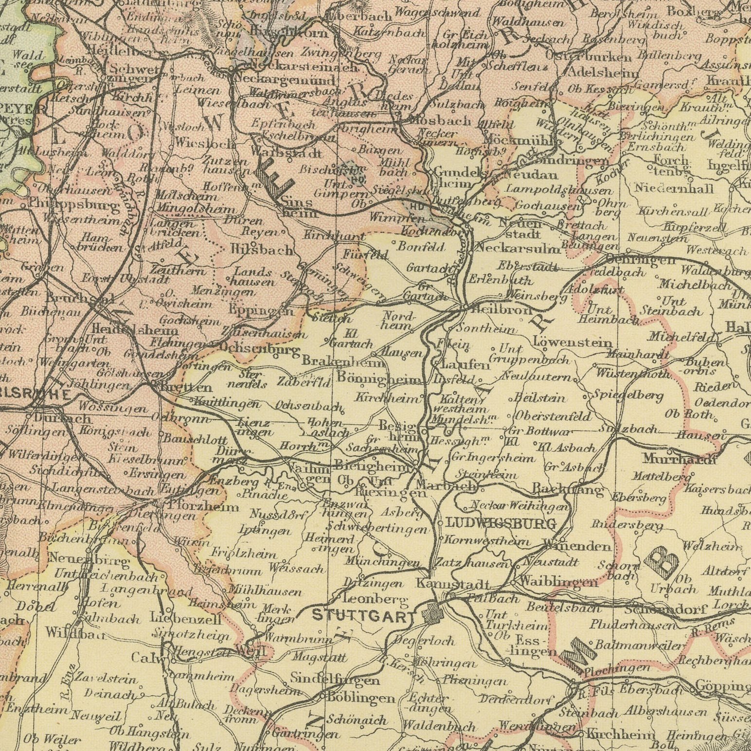
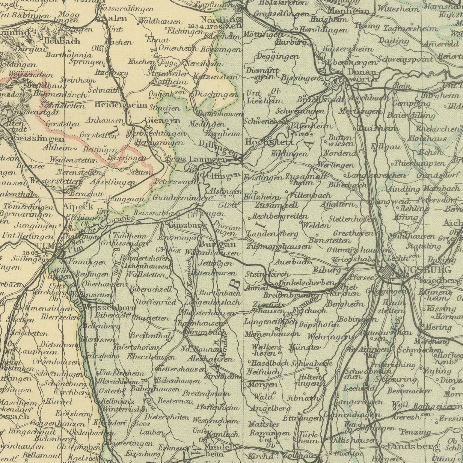
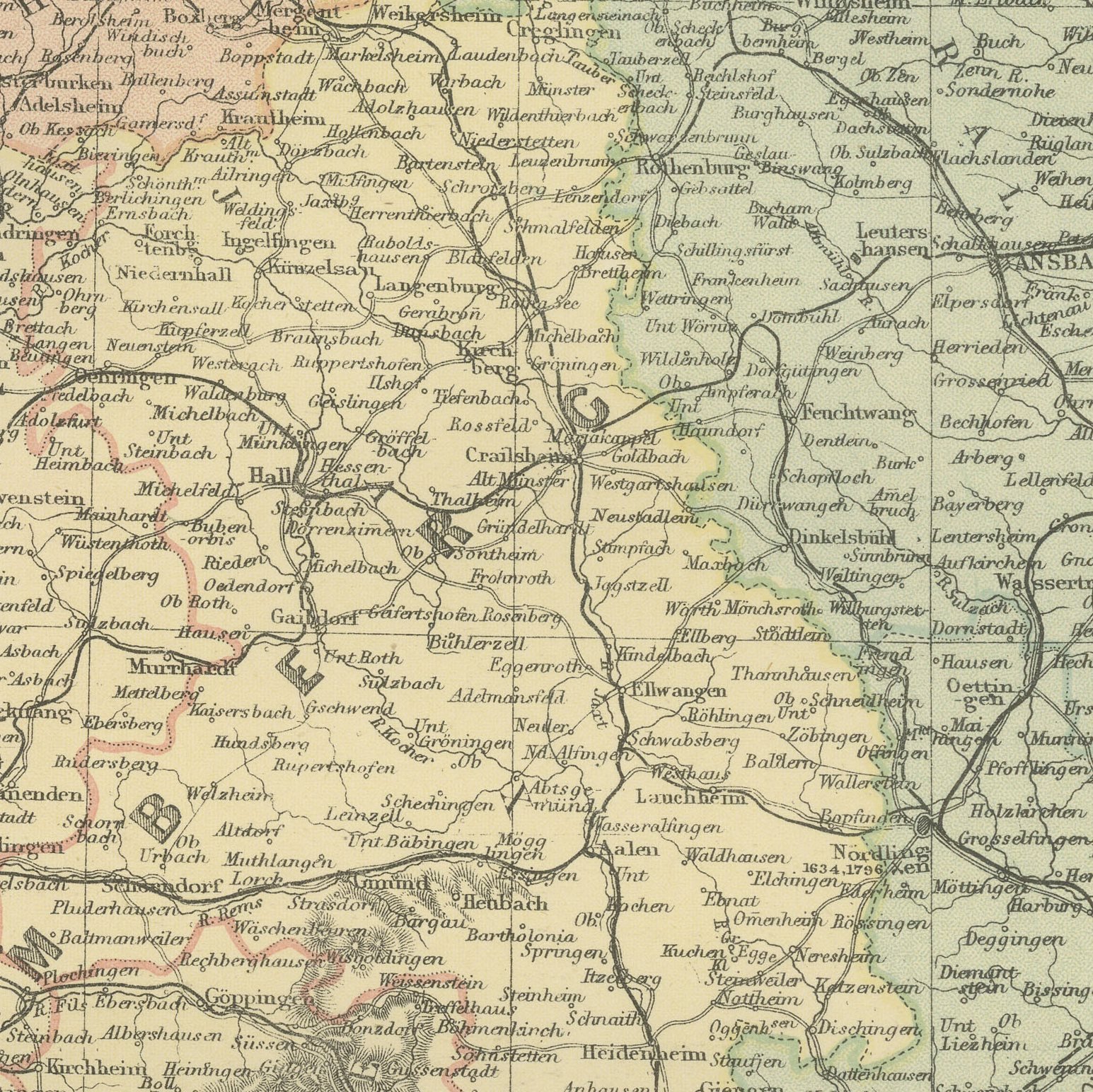
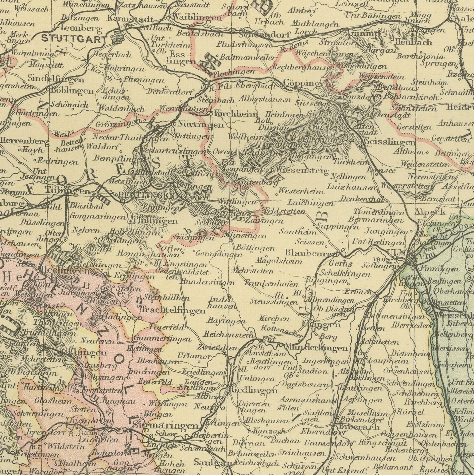
Original antique map of south western Germany from the 1898 Commercial and Library Atlas of the World, edited by G. W. Bacon in London and printed in color. The sheet covers the Grand Duchy of Baden and the Kingdom of Wurtemberg with the Black Forest and the Swabian Jura, the upper Rhine forming the western edge against annexed Alsace, and the Bavarian Palatinate to the north. Towns, spas and railways are drawn in detail across the whole area.
The plate belongs to the 1898 edition of Bacon's Commercial and Library Atlas of the World with Index-Gazetteer, edited by G. W. Bacon of 127 Strand, London. Printed and colored at Bacon's Geographical Establishment, the atlas set out one hundred double page maps and one hundred inset maps, and its purpose was practical: it recorded the political world as the Victorians left it, a year after the Diamond Jubilee and a year before the South African War.
This is the south German heartland of emigration to America, and the map names the villages that sent people, which is why sheets like it are regularly bought for family history. The Black Forest spa towns are marked at the height of their fashion, and the upper Rhine is drawn with the French frontier running down the river rather than west of it, a reminder that Alsace was German territory for forty seven years.
Moderate overall age toning, with the paper darker along the top edge and a few handling marks in the margins. The printed image itself is clean.
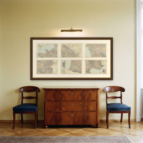
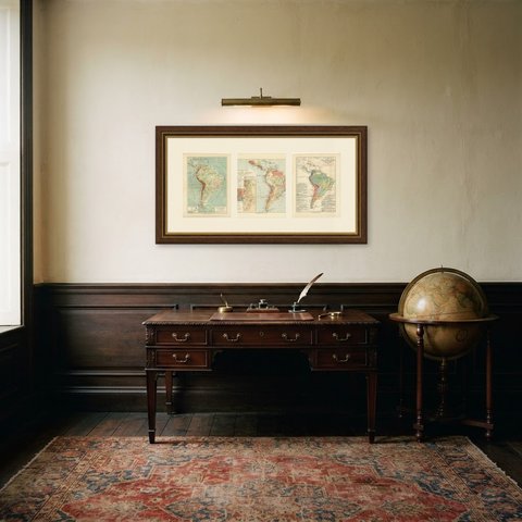
A map like this rewards close looking, so hang it where people pass near it: a hall, a landing, a study or a meeting room. The printed color is soft and the lettering fine, and it sits comfortably beside both antique and modern furniture. This is an original antique map, not a modern reproduction. This item is sold unframed.