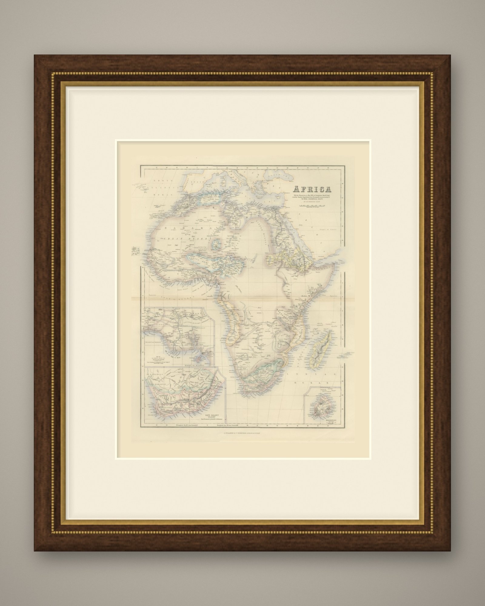
 The sheet, as you receive it
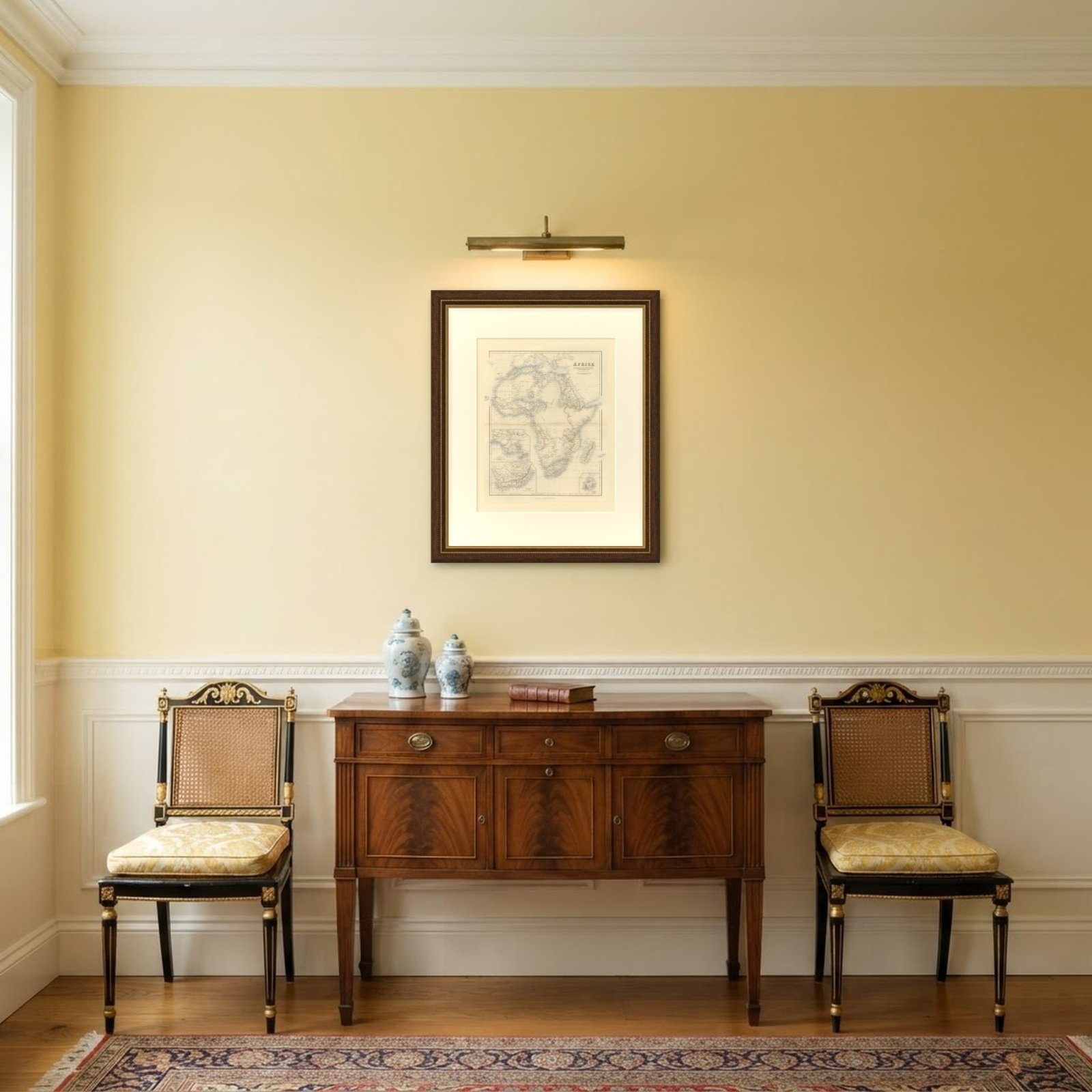 In the room
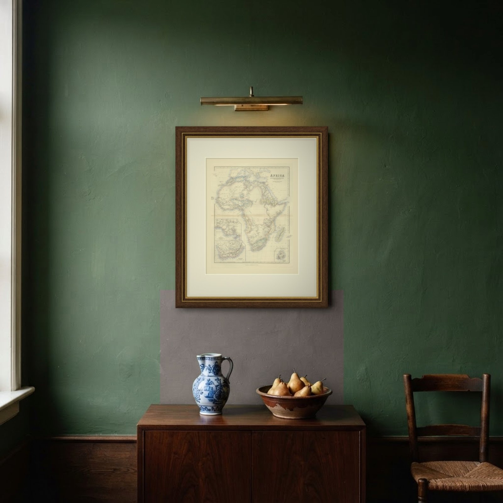
Interior designers: BarTrade members buy at their trade price. How it works
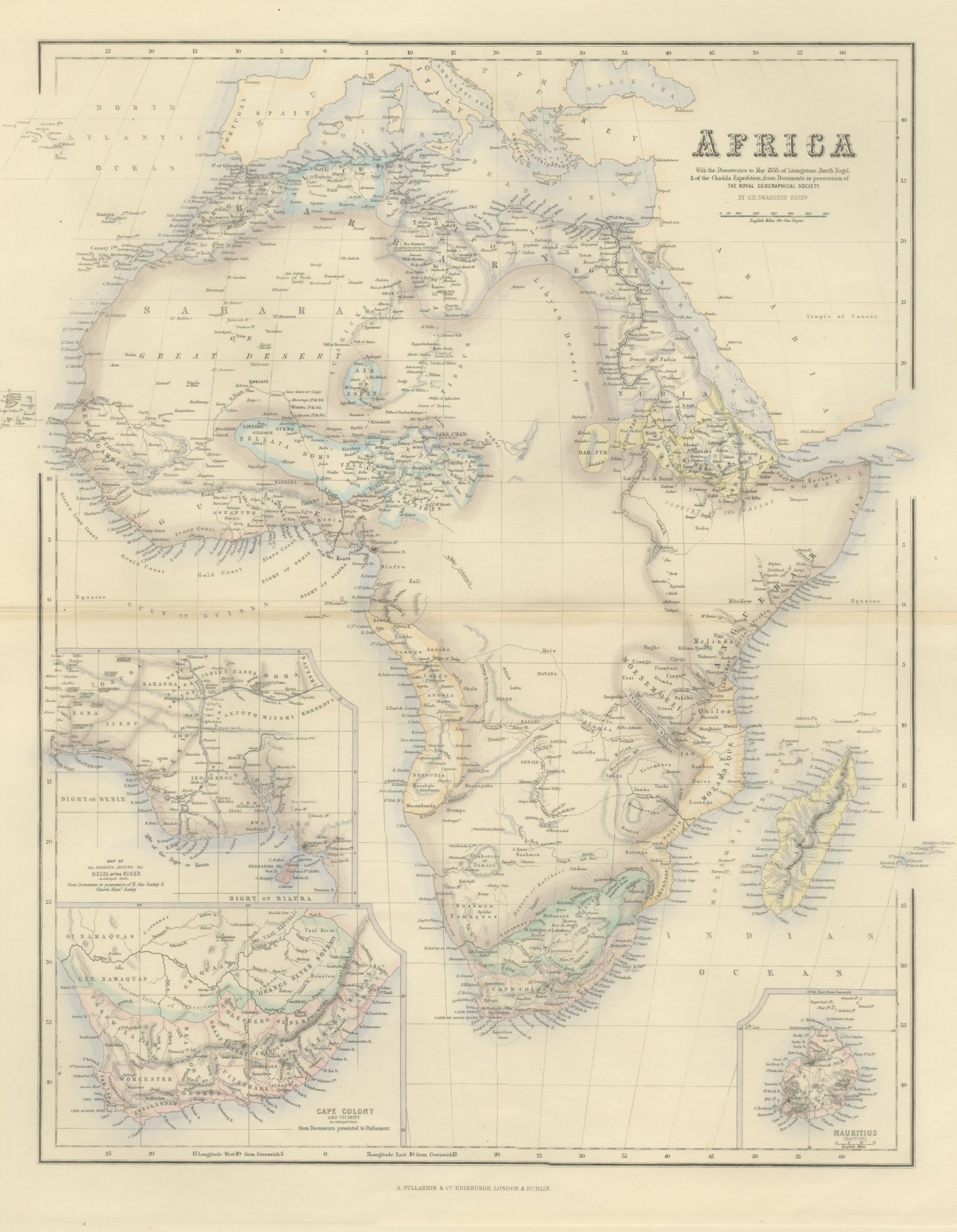
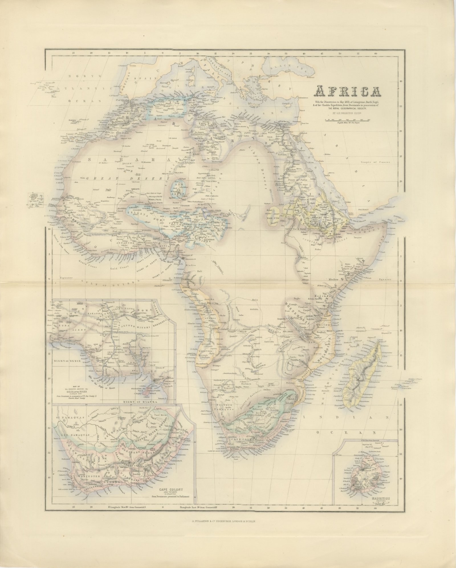
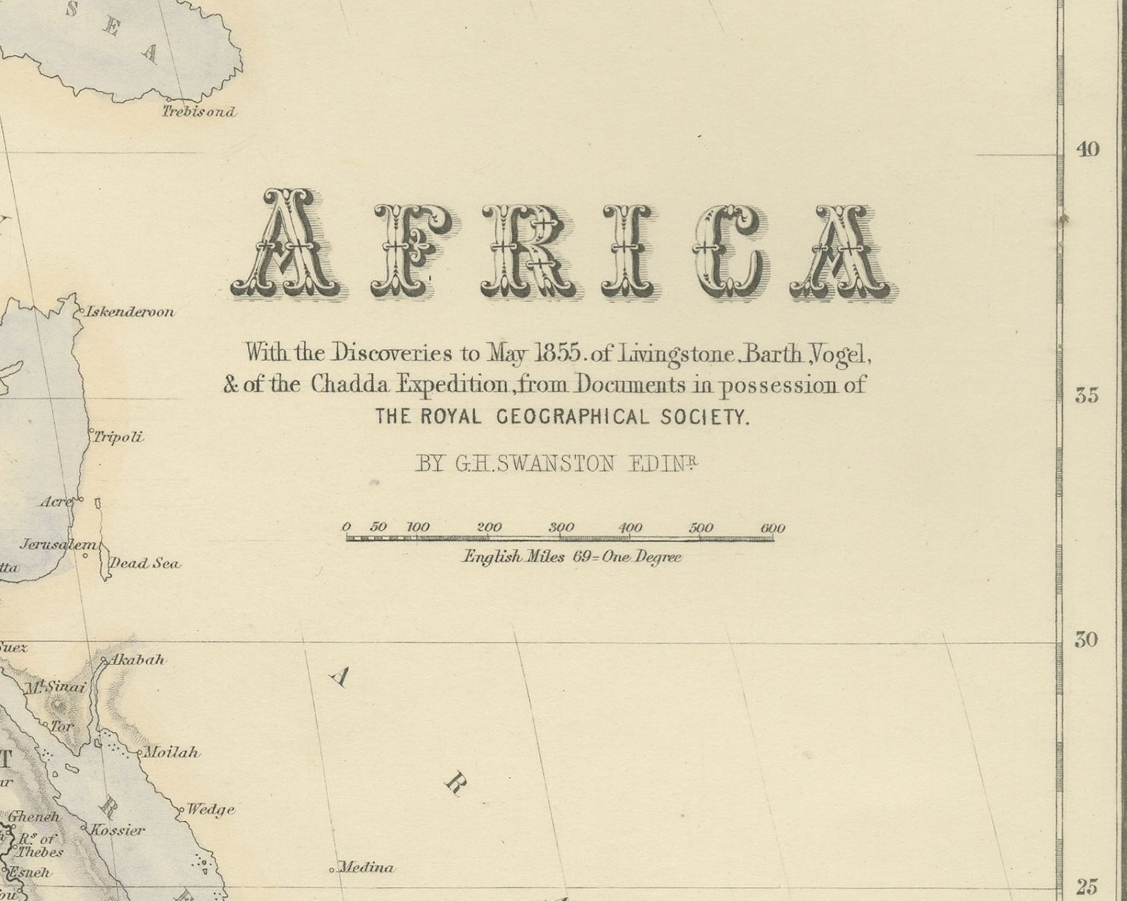
This is an original antique engraved map, colored by hand, from Fullarton's Companion Atlas to the Gazetteer of the World. The engraved title reads "AFRICA With the Discoveries to May 1855. of Livingstone, Barth, Vogel, & of the Chadda Expedition, from Documents in possession of THE ROYAL GEOGRAPHICAL SOCIETY." The map shows the whole continent with southern Europe, Arabia, Madagascar and the Atlantic islands from the Azores, Madeira and the Canaries south to the Cape Verde Islands, which are drawn in a small box off the coast of Senegal. Coasts and regions are washed in color.
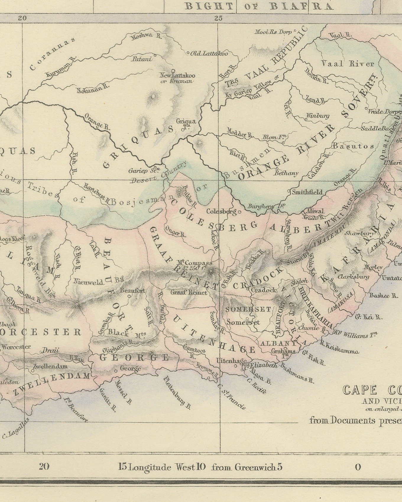
Two insets are stacked along the lower left: "MAP OF the REGIONS AROUND the DELTA OF THE NIGER on enlarged Scale from Documents in possession of R. Geo Society & Church Missy. Society", showing the Bights of Benin and Biafra with "FERNANDO PO", and "CAPE COLONY AND VICINITY on enlarged Scale from Documents presented to Parliament", with "CAPE TOWN", "CAPE OF GOOD HOPE" and the districts "WORCESTER", "GEORGE" and "UITENHAGE". At the lower right is "MAURITIUS (BRITISH)". On the main map "SAHARA" and "GREAT DESERT" run across the north, with "TIMBUKTU" and "AIR OR ASBEN" below, and in the southwest a dashed route runs past "L. Dilolo" and "S. Paul de Loando". The scale bar reads "English Miles 69 = One Degree".
The only credit in the title is "BY G.H. SWANSTON EDINR." There is no engraver's line below the bottom border at the lower right. The imprint in the center below the border reads "A. FULLARTON & Co. EDINBURGH. LONDON. & DUBLIN."
The Companion Atlas to the Gazetteer of the World was published by A. Fullarton and Co. of London, Edinburgh and Dublin and issued to subscribers in parts. The original printed wrapper of Part 7 survives with these maps; it bills forty-three maps, names G. H. Swanston as engraver and is marked "Colored Copy". Livingstone reached the Atlantic coast at Luanda, lettered here as "S. Paul de Loando", in 1854 on his crossing of the continent.
This is an original antique map, not a modern reproduction. This item is sold unframed.