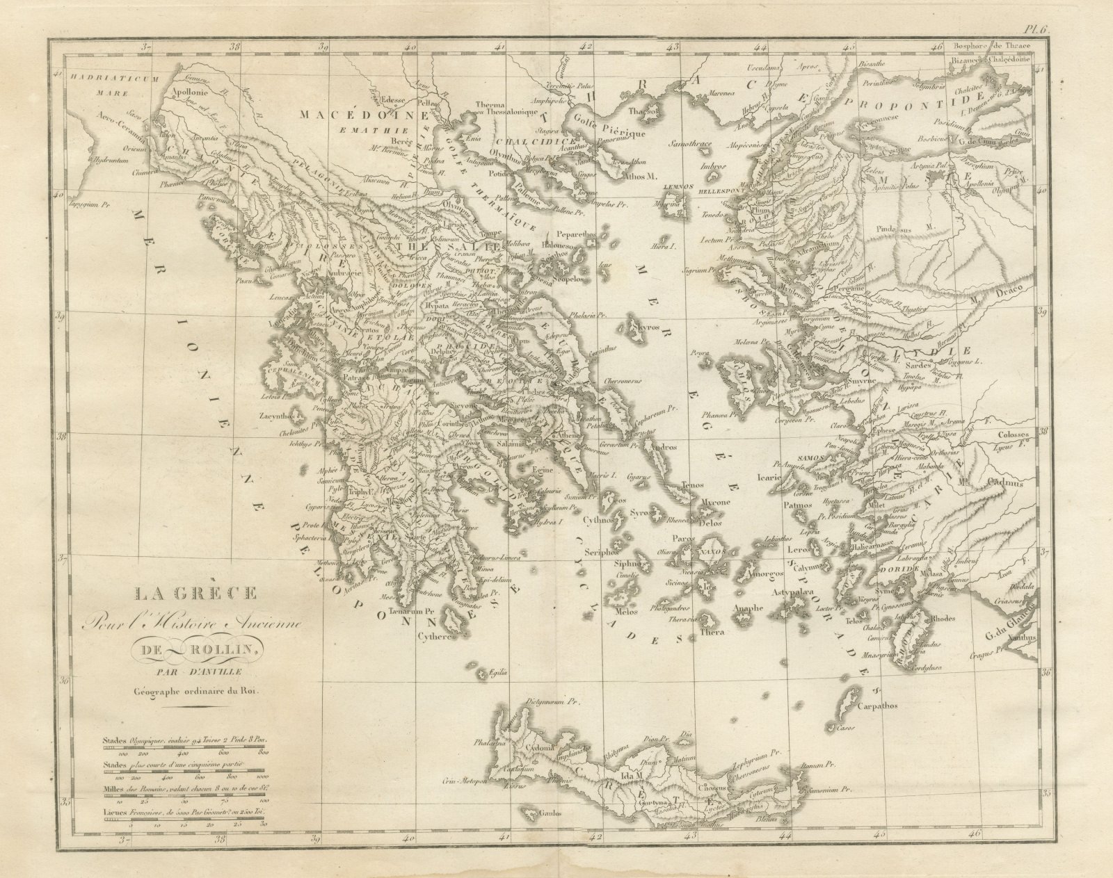
 The sheet, as you receive it
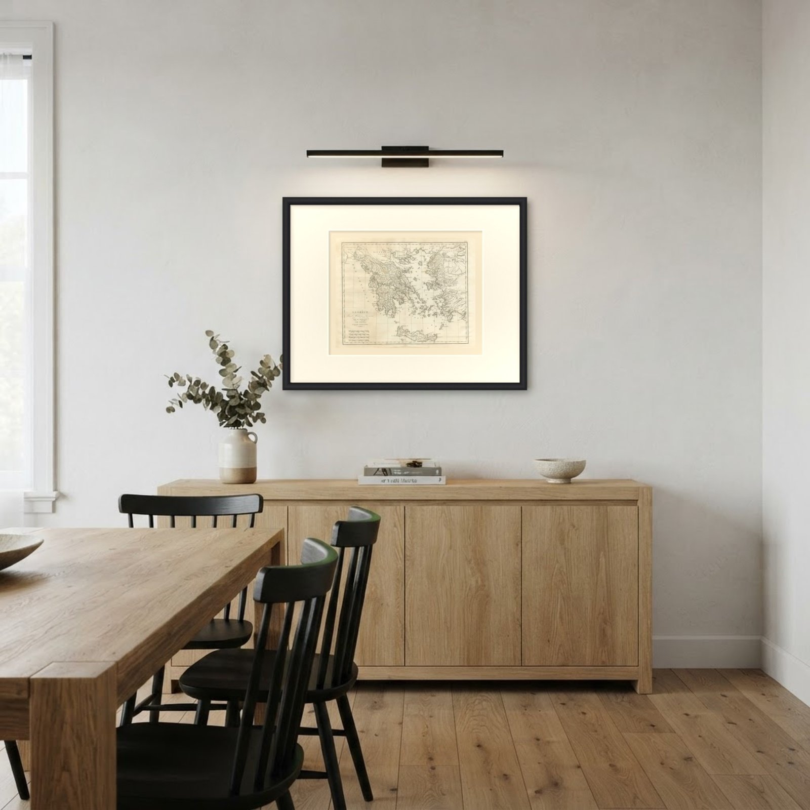 In the room
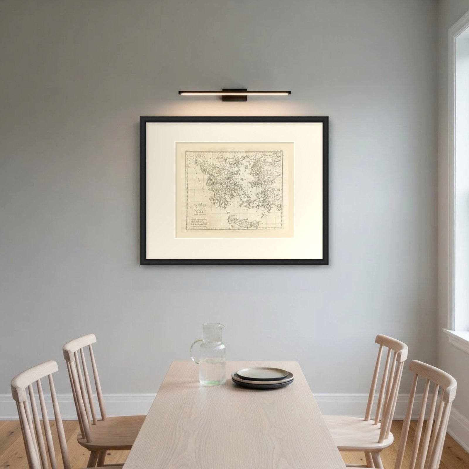
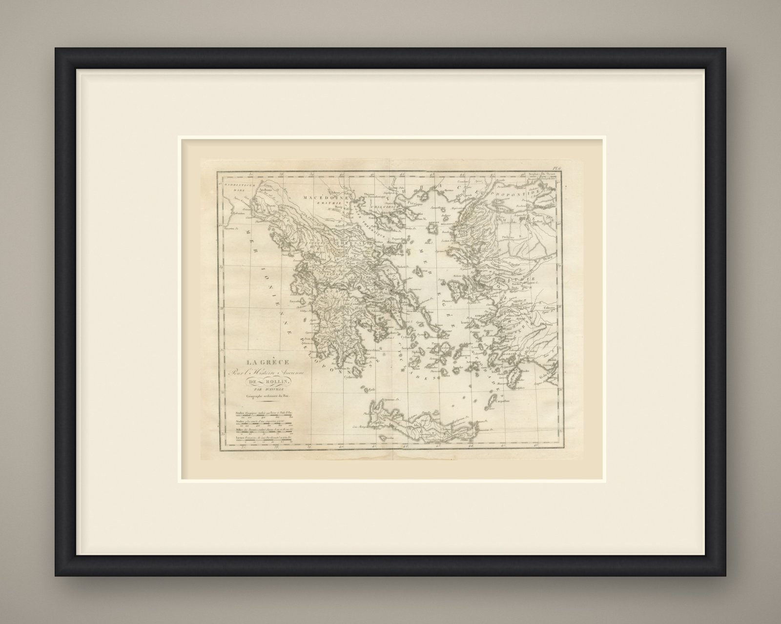
Interior designers: BarTrade members buy at their trade price. How it works
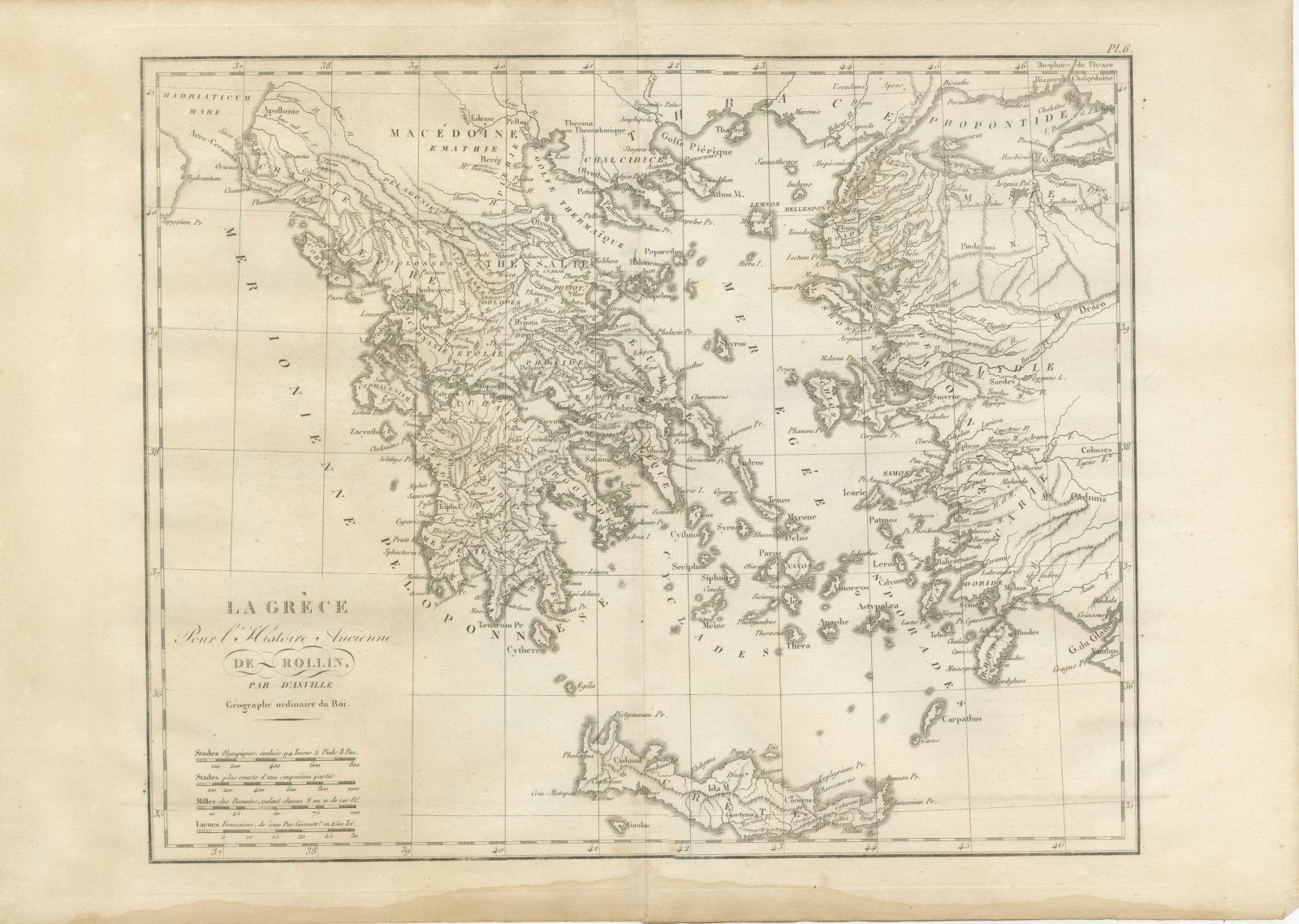
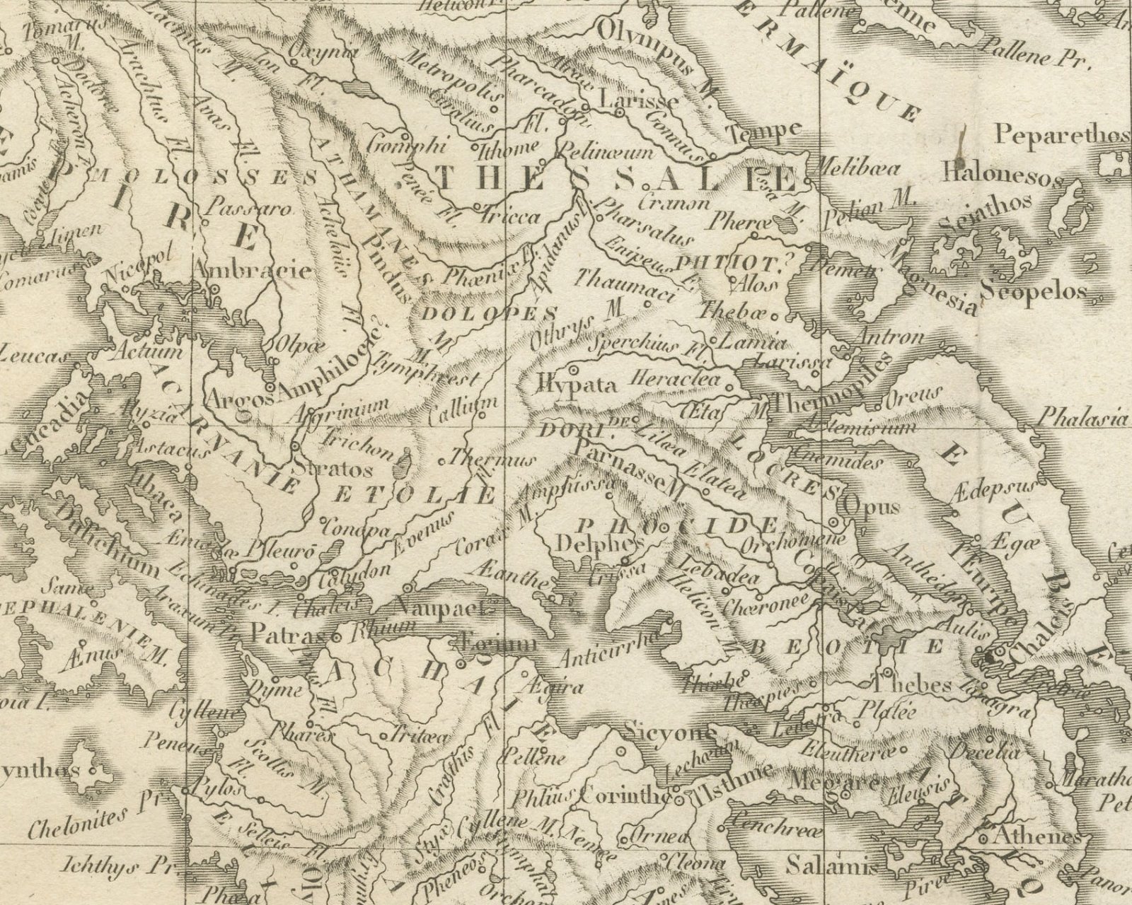
An original copper engraved map, uncolored, of Greece, the Aegean islands and the west coast of Asia Minor, from Apollonie on the Adriatic to the Propontide and the Bosphore de Thrace. Macédoine, Thessalie and the Peloponnese are divided by region, with Athenes, Thebes, Corinthe, Argos, Mycenes and Sparte placed among them and Marathon, Platée and Salamis marked. The Mer Egée is filled with the Cyclades and Sporades, Crete lies along the foot with Cnossus, Gortyna and Ida M., and the Mer Ionienne runs down the left side.
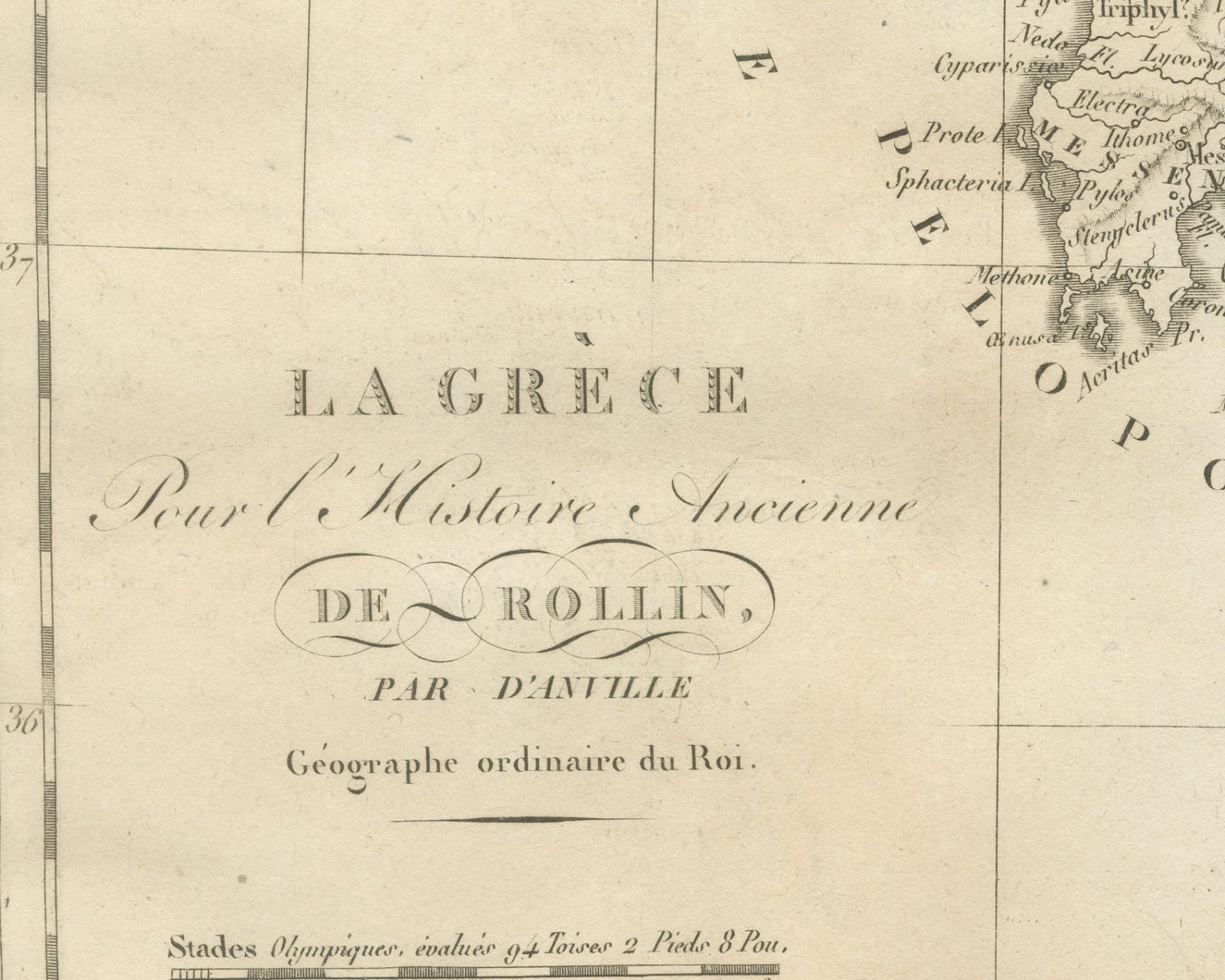
The cartouche at lower left reads La Grèce Pour l'Histoire Ancienne de Rollin, par d'Anville, Géographe ordinaire du Roi. The plate is numbered Pl. 6. above the upper right corner. Below it are four scale bars: Stades Olympiques, évalués 94 Toises 2 Pieds 8 Pou., Stades plus courts d'une cinquième partie, Milles des Romains, valant chacun 8 ou 10 de ces St.s and Lieues Françaises, de 5000 Pas Géométr.s ou 2500 Toi.s. No engraver is named on the sheet.
The plate comes from the Atlas de Géographie Ancienne, published in Paris in 1818 by Ledoux et Tenré and printed by Didot le jeune to accompany the works of Charles Rollin (1661 to 1741), the French historian whose Histoire ancienne the map was drawn to illustrate. The title page states that the atlas was engraved after the original maps of Jean-Baptiste Bourguignon d'Anville (1697 to 1782). Its table of plates carries a foreword signed by Ambroise Tardieu, géographe-graveur, who writes that the maps were copied with religious fidelity and that, charged with reviewing the proofs, he had only negligences and defects of execution to correct.
This is an original antique map, not a modern reproduction. This item is sold unframed.