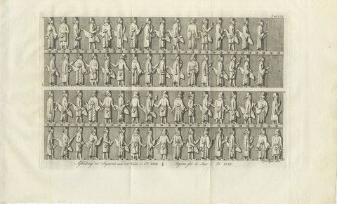
 The sheet, as you receive it
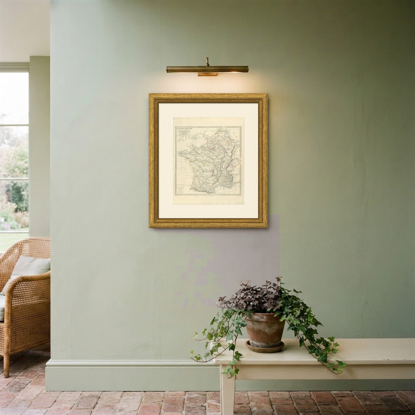
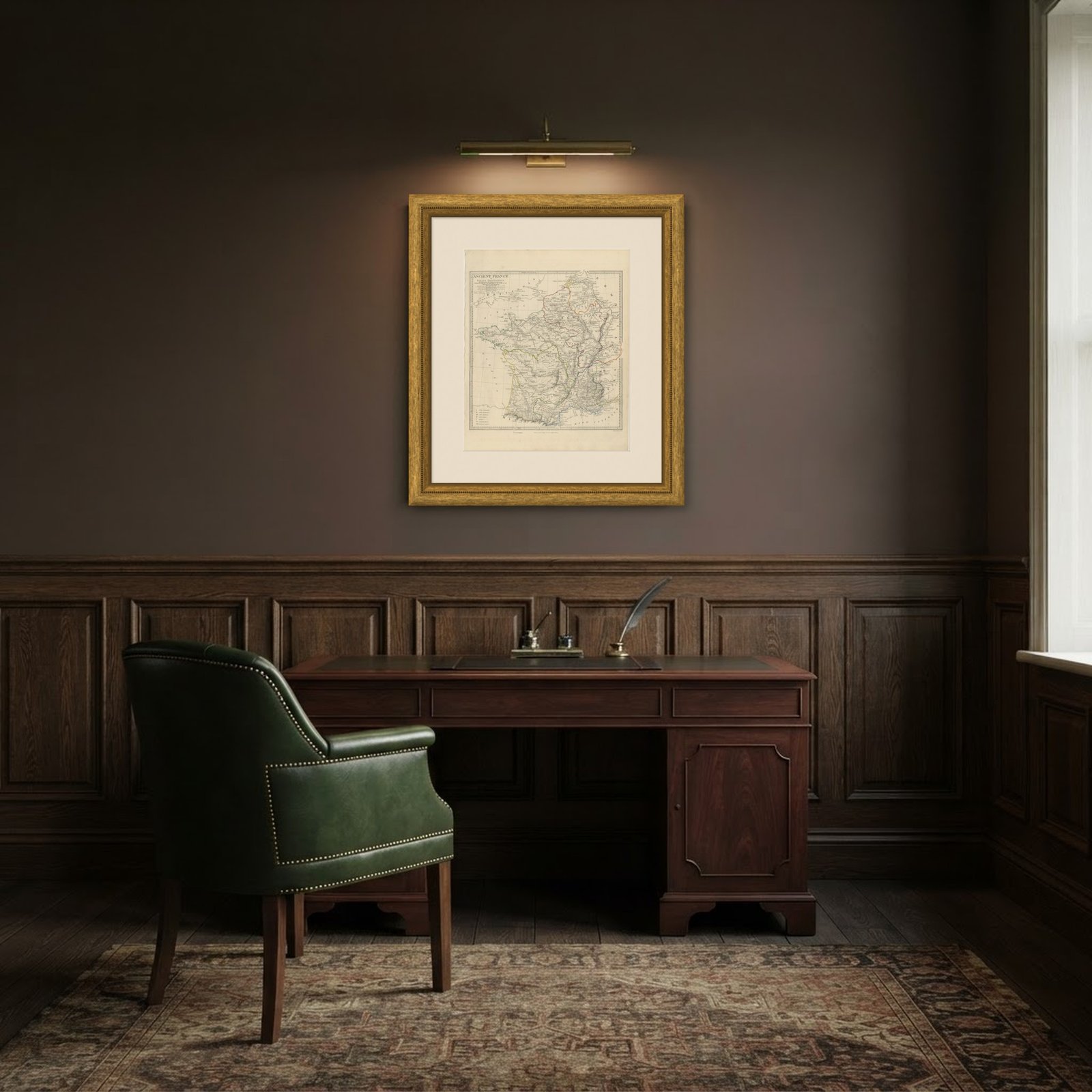 In the room
Interior designers: BarTrade members buy at their trade price. How it works
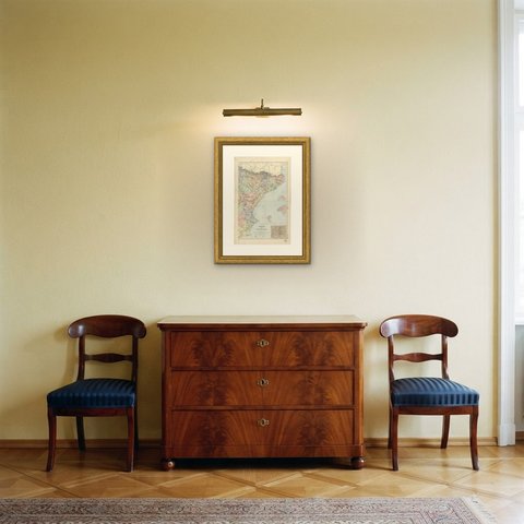
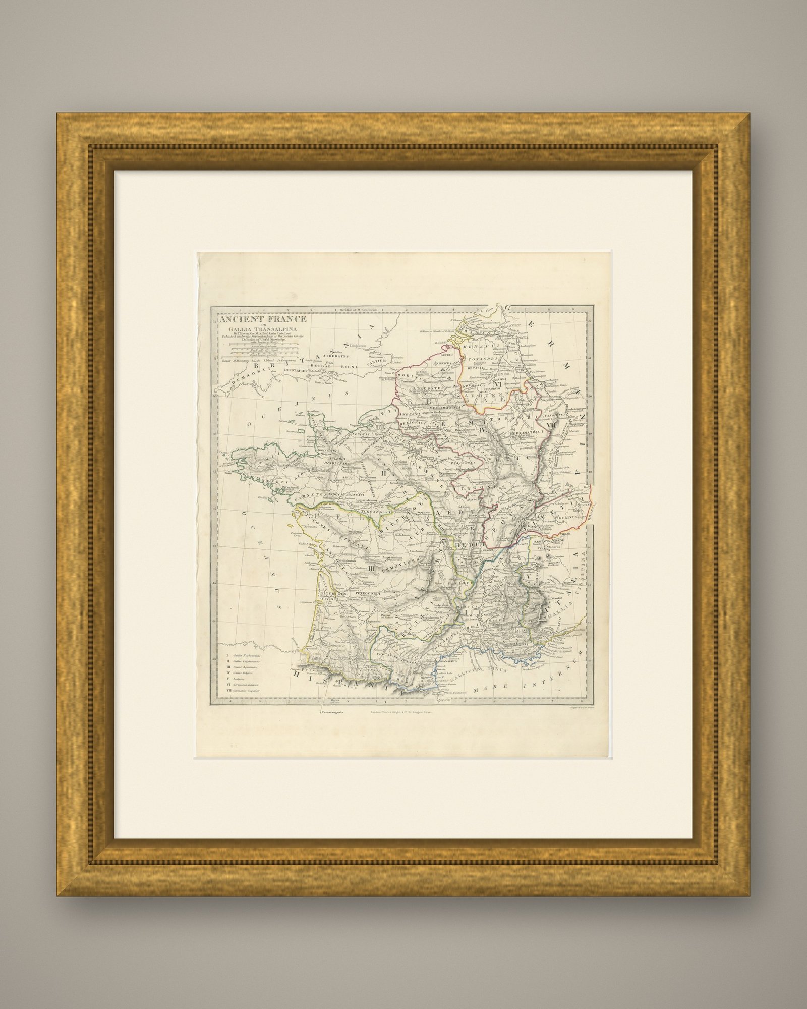
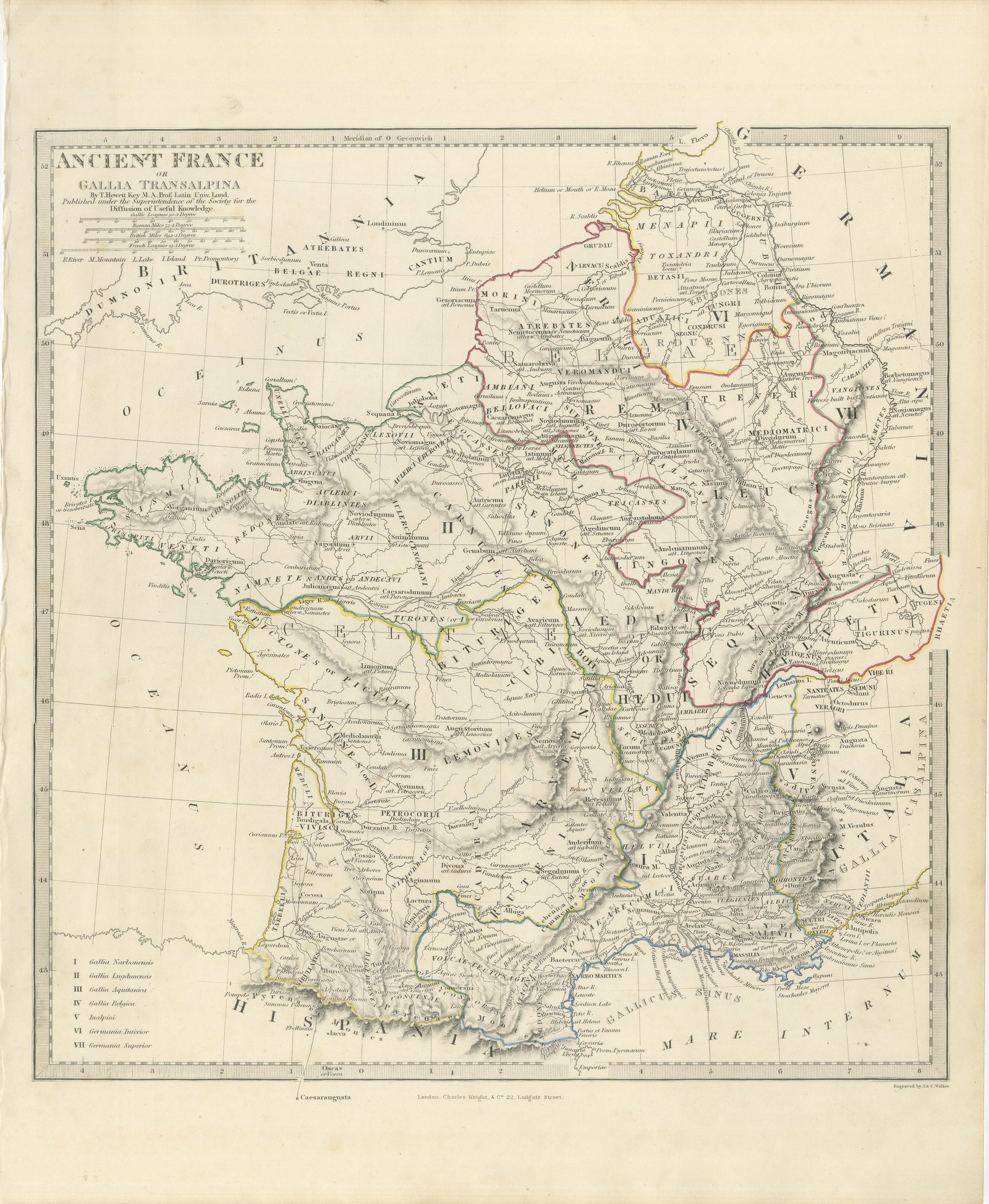
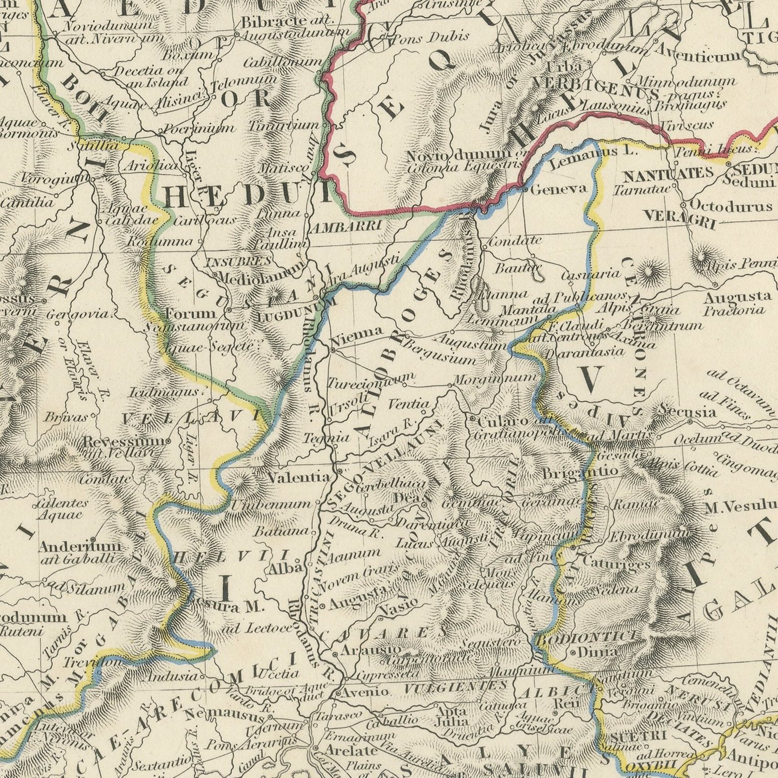
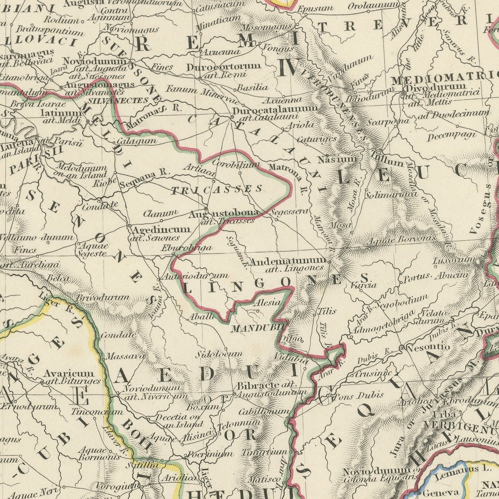
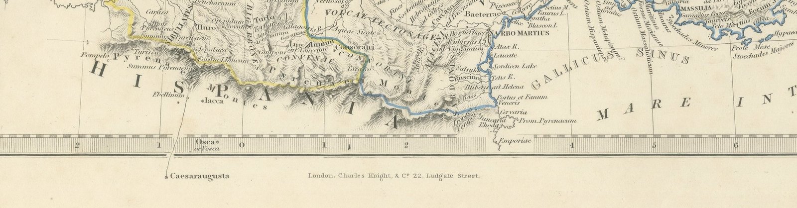
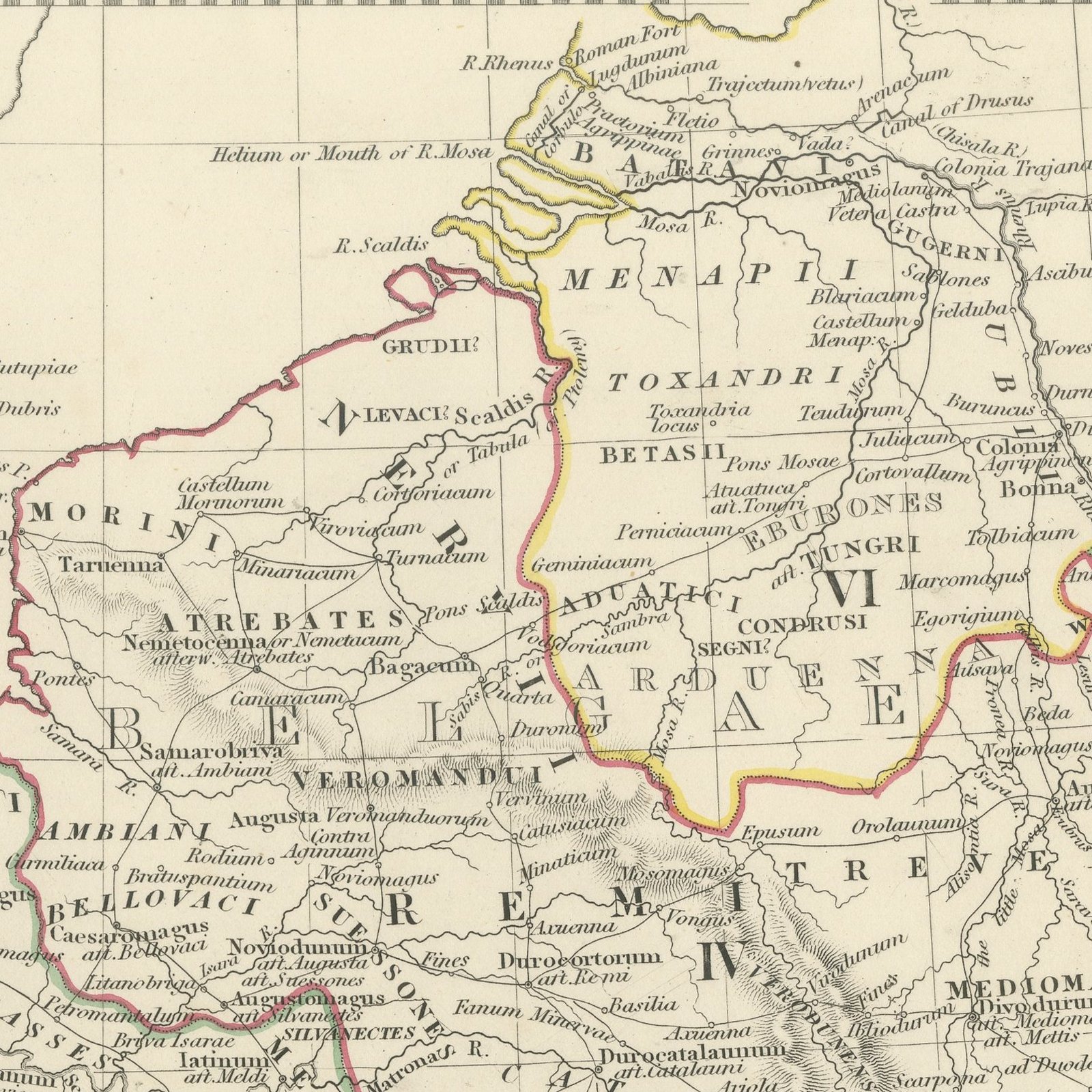
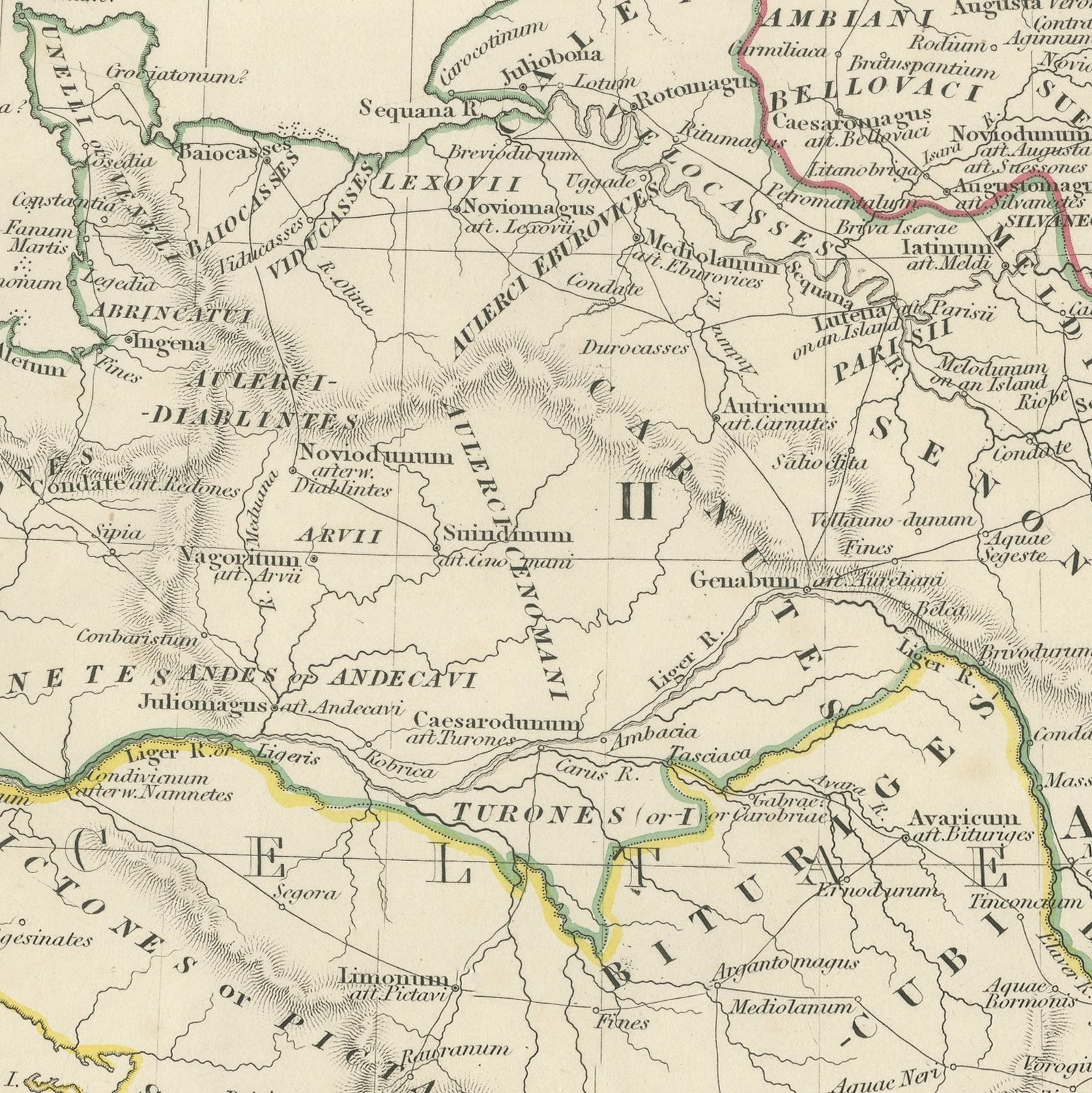
This antique classical map of 1845 shows France as the Romans knew it, under the name Gallia Transalpina, and names every tribe and settlement in Latin. The seven Roman provinces are keyed by number and separated by hand applied color: Gallia Narbonensis in the south, Gallia Lugdunensis through the center, Gallia Aquitanica in the south west, Gallia Belgica in the north east, the Inalpini in the Alps and Germania Inferior and Superior along the Rhine. The tribal names are engraved across the country in open capitals, with the Aedui, the Arverni, the Senones, the Treveri, the Morini, the Veneti and dozens of others, and the towns are given their Roman names, so that Lutetia, Lugdunum, Burdigala, Massilia and Narbo stand where Paris, Lyon, Bordeaux, Marseille and Narbonne stand today. The map is credited to Thomas Hewitt Key, Professor of Latin at University College London, and engraved by John and Charles Walker.
The plate comes from Maps of the Society for the Diffusion of Useful Knowledge, in the new edition corrected to the present time that Charles Knight and Company published at 22 Ludgate Street, London, in 1845, whose first volume covers Europe. The Society was founded in 1826 by Henry Brougham and his circle to publish useful knowledge at a low price. Its maps were issued in parts from 1829, first by Baldwin and Cradock, from 1842 by Chapman and Hall and then by Charles Knight, and the series grew to about two hundred maps. Most of them were engraved on steel by John and Charles Walker, and the outline color was applied by hand.
The plate is signed by J. and C. Walker as engravers. The imprint at the foot names Charles Knight and Company of 22 Ludgate Street, London.
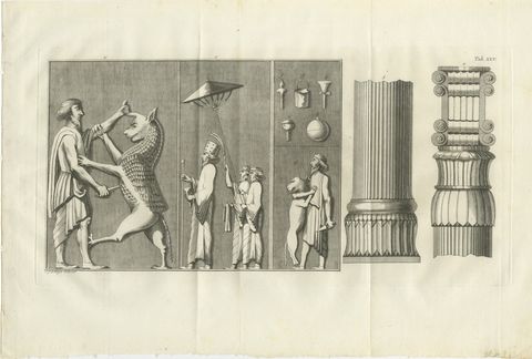
Light overall age toning, with the paper darker along the right and top edges, scattered foxing in the margins, a stain in the margin, handling wear to the top left and bottom right corners and minor nicks along the left edge.
This is an original antique map, not a modern reproduction. This item is sold unframed.