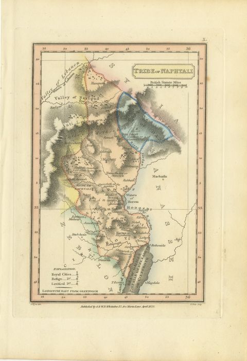
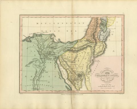
 The sheet, as you receive it
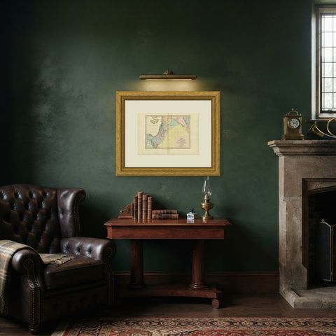
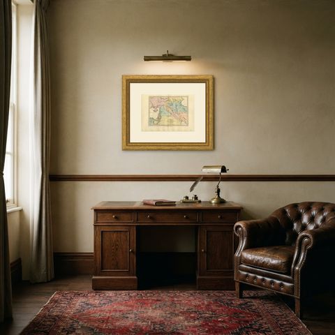
 In the room
Interior designers: BarTrade members buy at their trade price. How it works
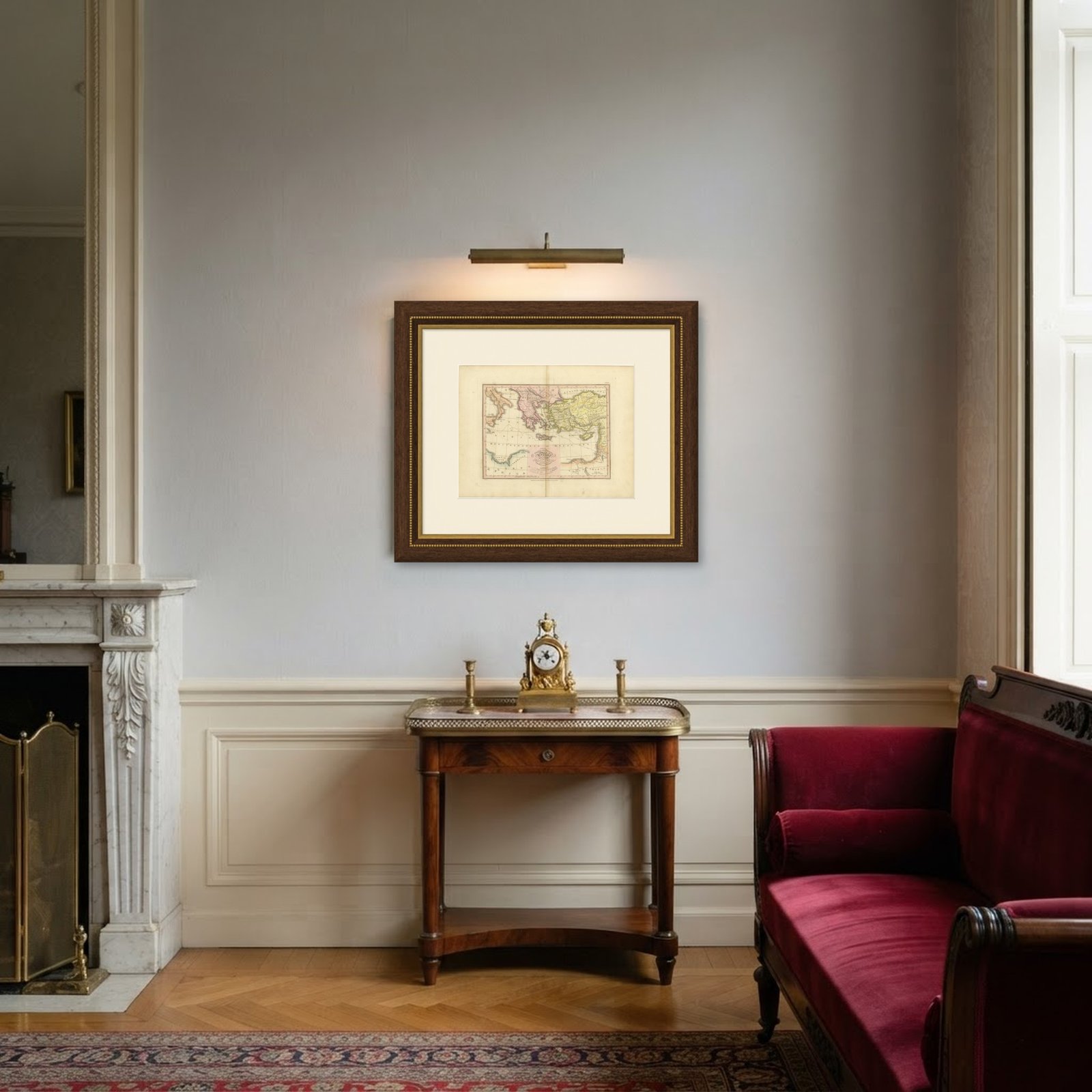
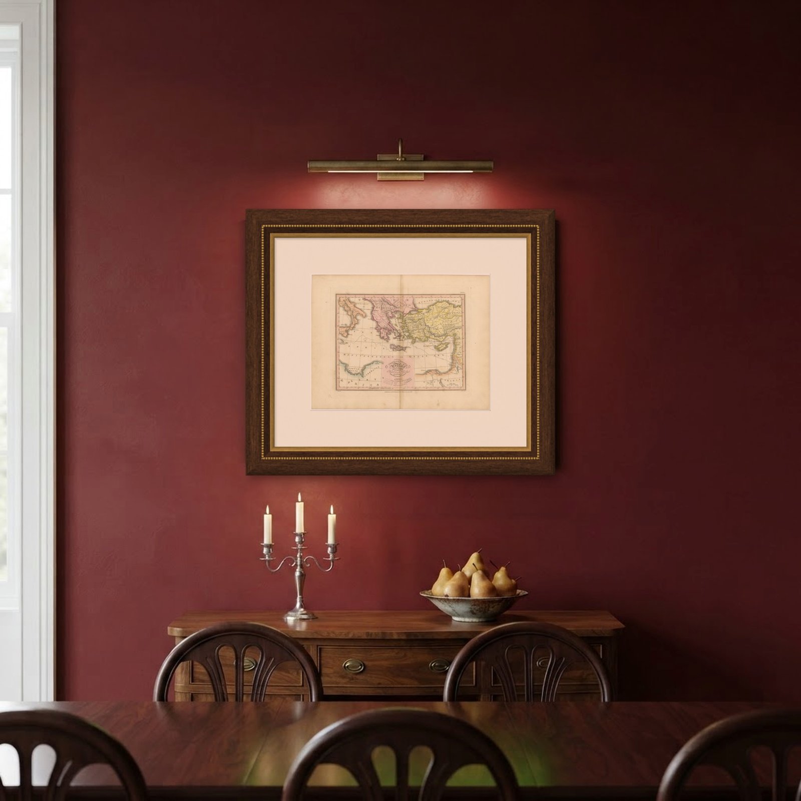
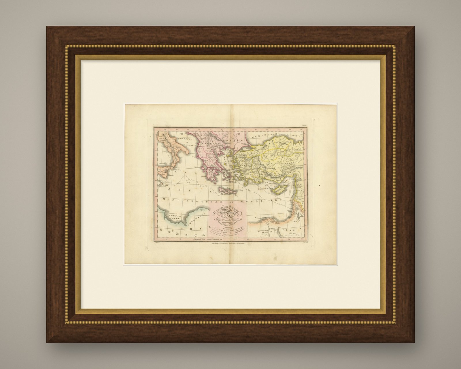
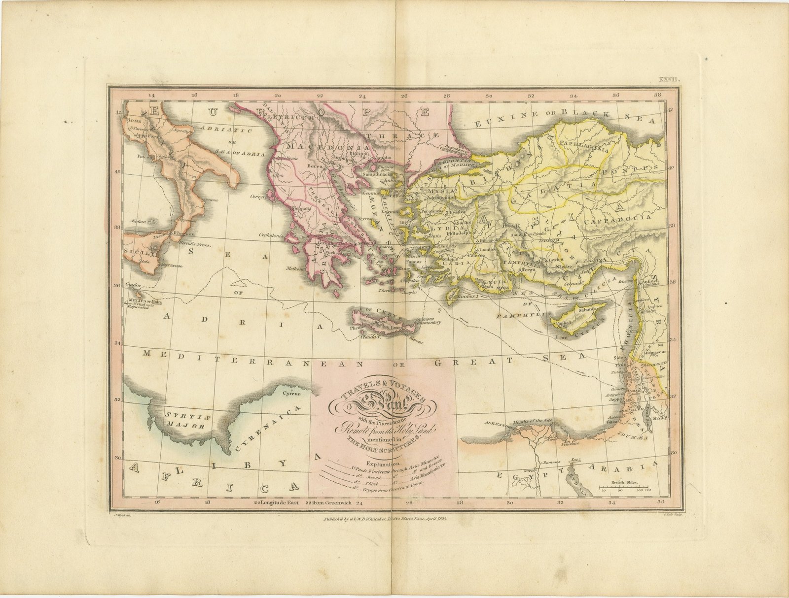
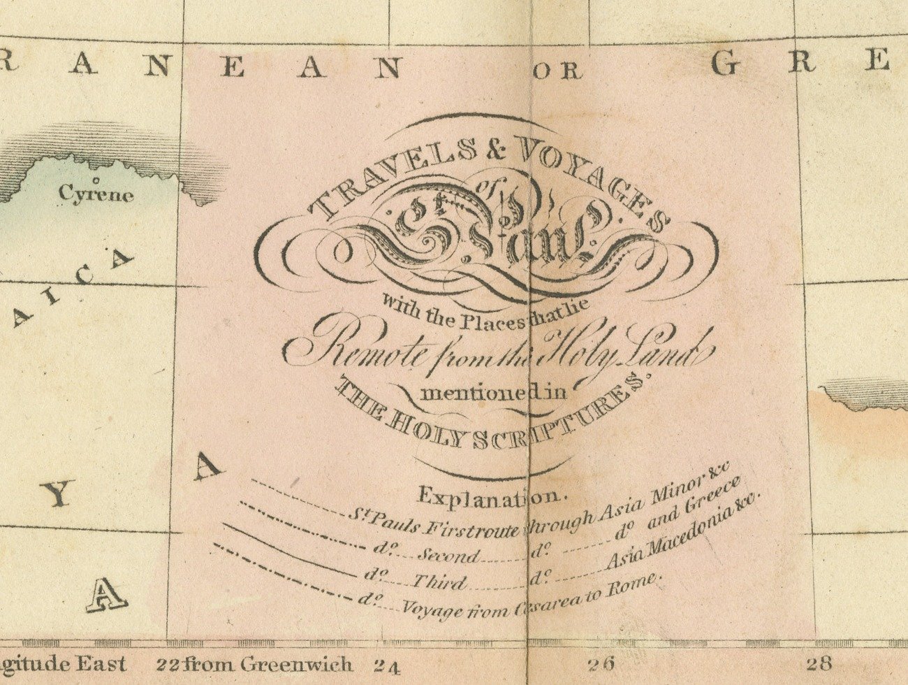
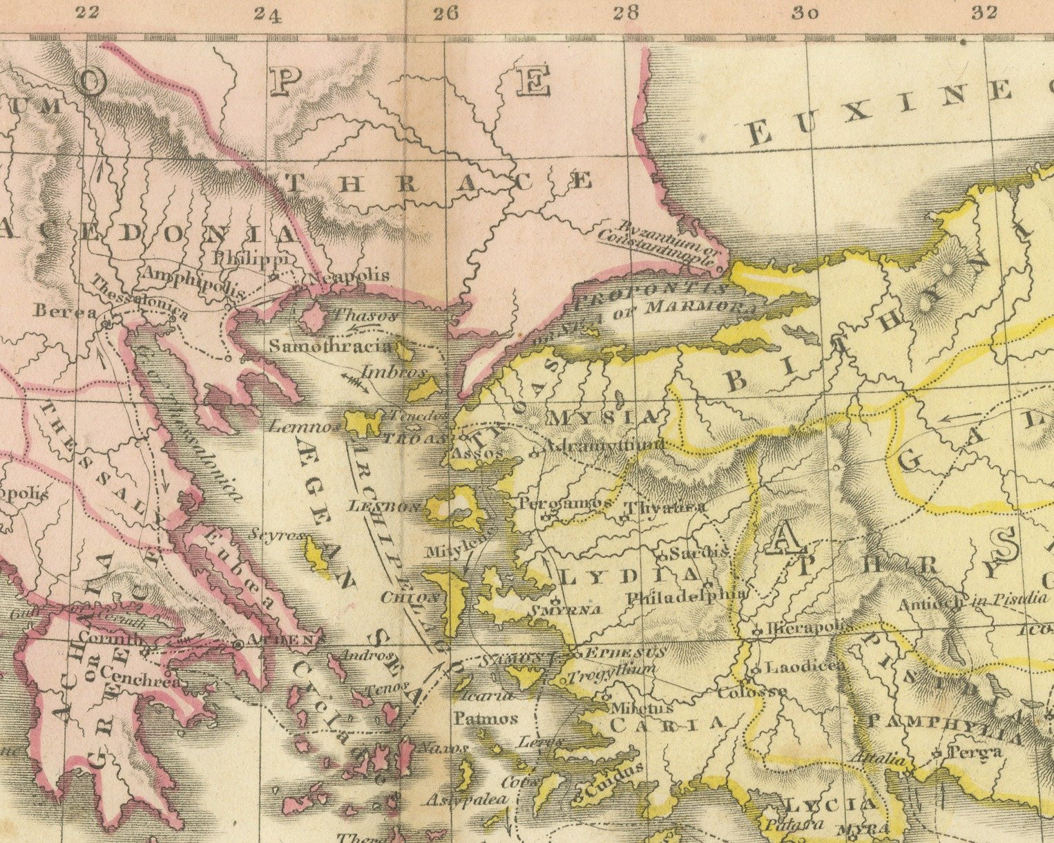
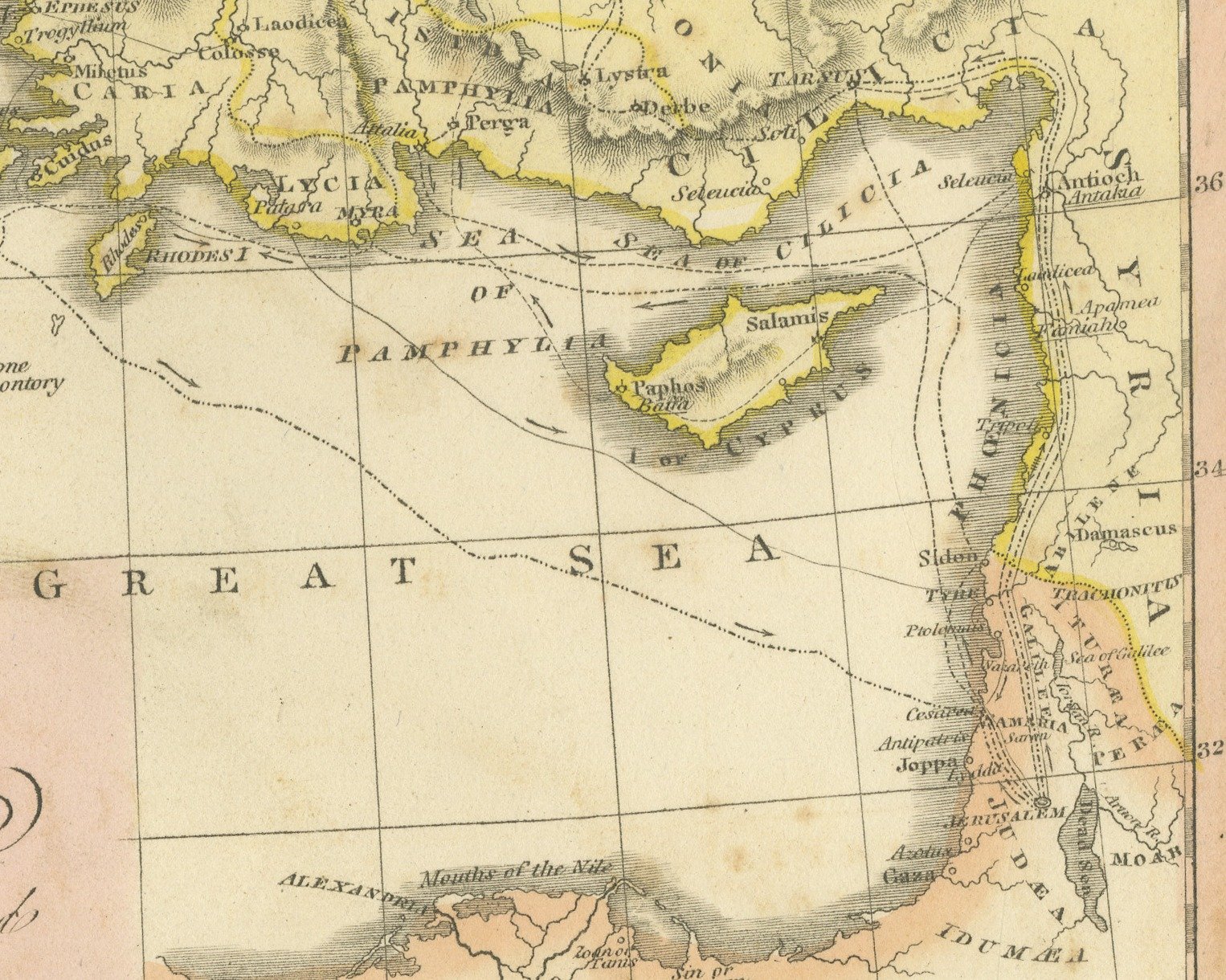
This is an original antique copper engraved map with original hand coloring, published in 1823 as plate XXVII of James Wyld's Geographia Sacra, or Scripture Atlas. The engraved title reads "TRAVELS & VOYAGES of St. Paul, with the Places that lie Remote from the Holy Land mentioned in THE HOLY SCRIPTURES." The title is engraved in a pink panel at the bottom center of the map, with an explanation of the routes beneath it.
The map covers the eastern Mediterranean from Rome and southern Italy at the left to Syria at the right, and from the Euxine or Black Sea at the top to Egypt and Libya at the bottom. Macedonia and Greece are washed in pink and Asia Minor in yellow, with provinces such as Galatia, Cappadocia, Phrygia and Pamphylia lettered across it. Cyprus and Crete lie in the "MEDITERRANEAN OR GREAT SEA", and at the left Melita or Malta is marked as the place where St. Paul was shipwrecked. Dotted lines trace the apostle's journeys, and the explanation distinguishes his first route through Asia Minor, the second and third through Asia, Greece and Macedonia, and the voyage from Caesarea to Rome. A scale of British miles is engraved at the lower right.
Below the lower border the credit J. Wyld del. is engraved at the left and G. Neele Sculp. at the right, with the imprint between them: "Publish'd by G. & W. B. Whittaker, 13 Ave Maria Lane, April 1823." The plate number is engraved as XXVII. in the upper right.
The atlas was published by G. and W. B. Whittaker in London, and its engraved title page names Wyld as "of the Quarter Master General's Office, Horse Guards". James Wyld the elder (1790 to 1836) was a London geographer and map publisher.
Light uneven toning, browner toward the edges. Handling soiling along all four edges. Foxing over much of the margin. All four corners are present. Several larger brown marks. Folding plate, original center fold as issued.
This is an original antique map, not a modern reproduction. This item is sold unframed.