 The sheet, as you receive it
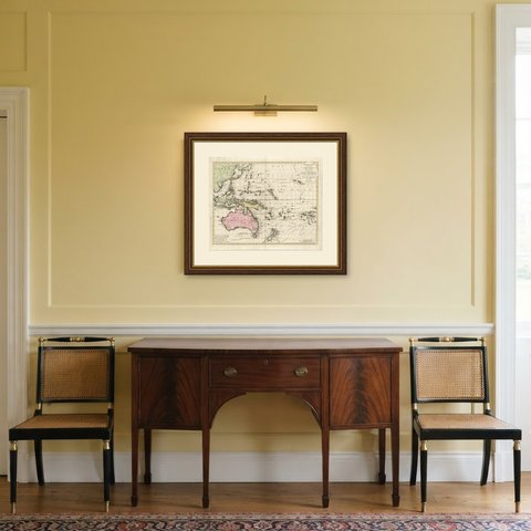
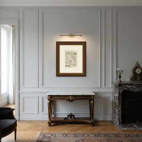
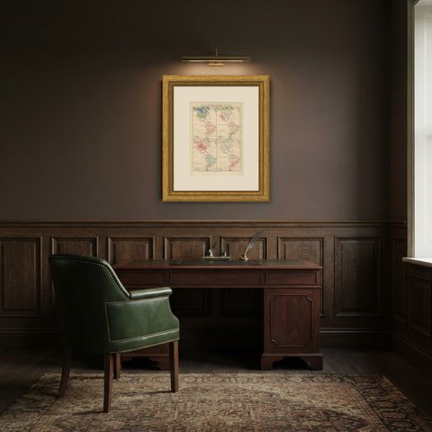
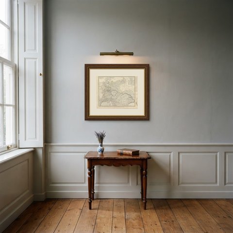
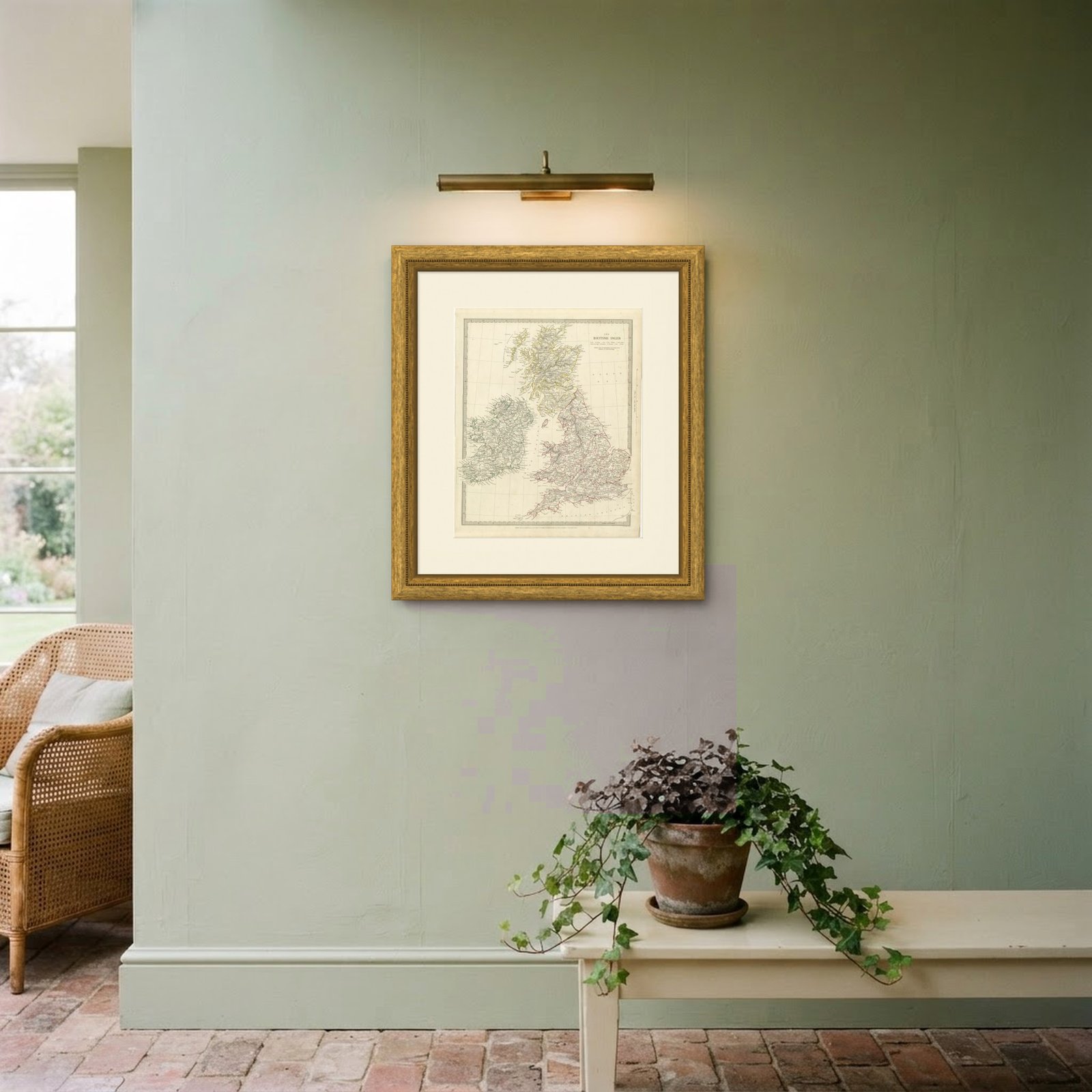
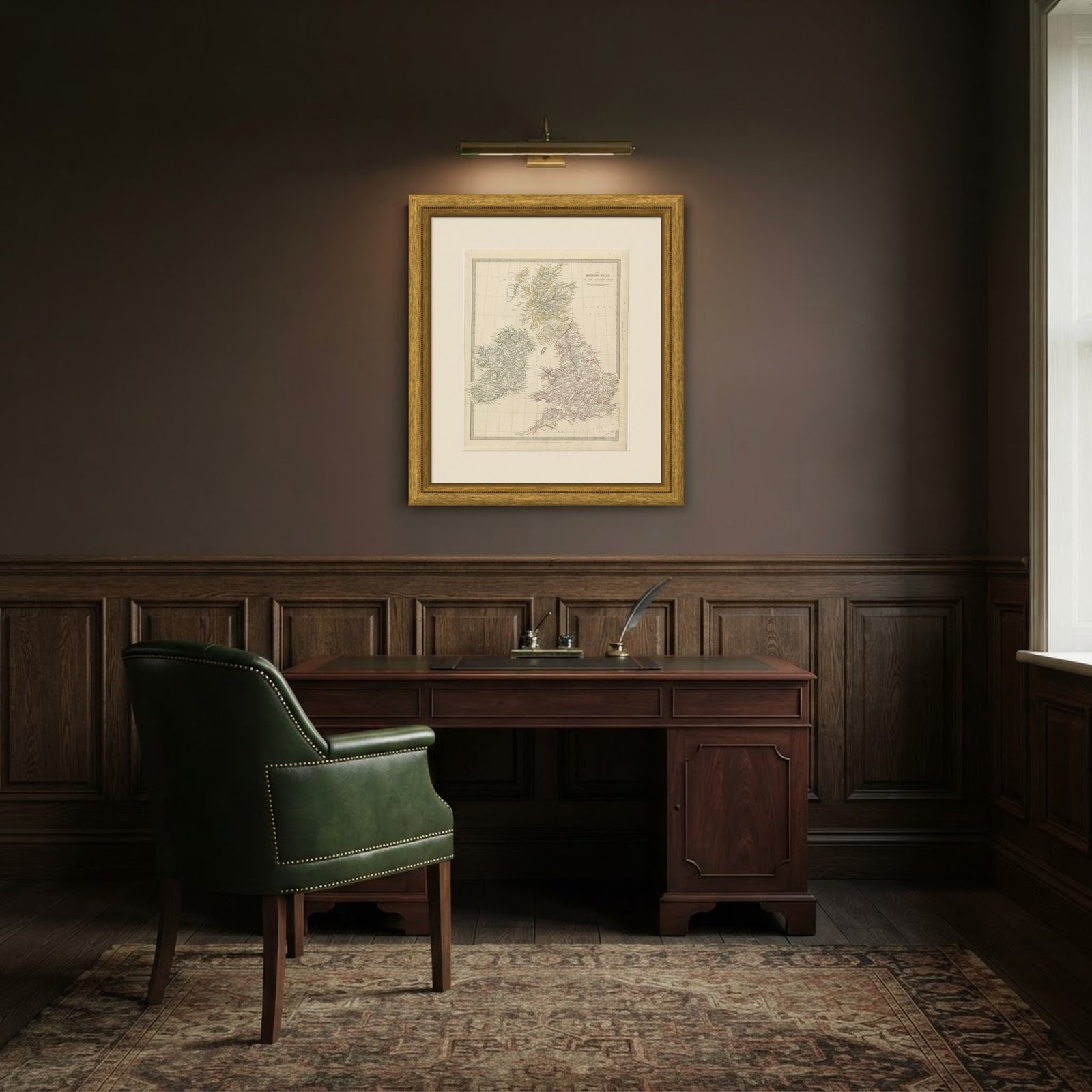 In the room
Interior designers: BarTrade members buy at their trade price. How it works
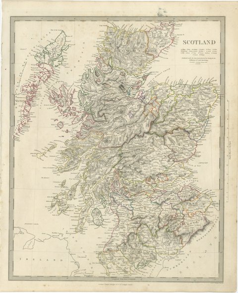
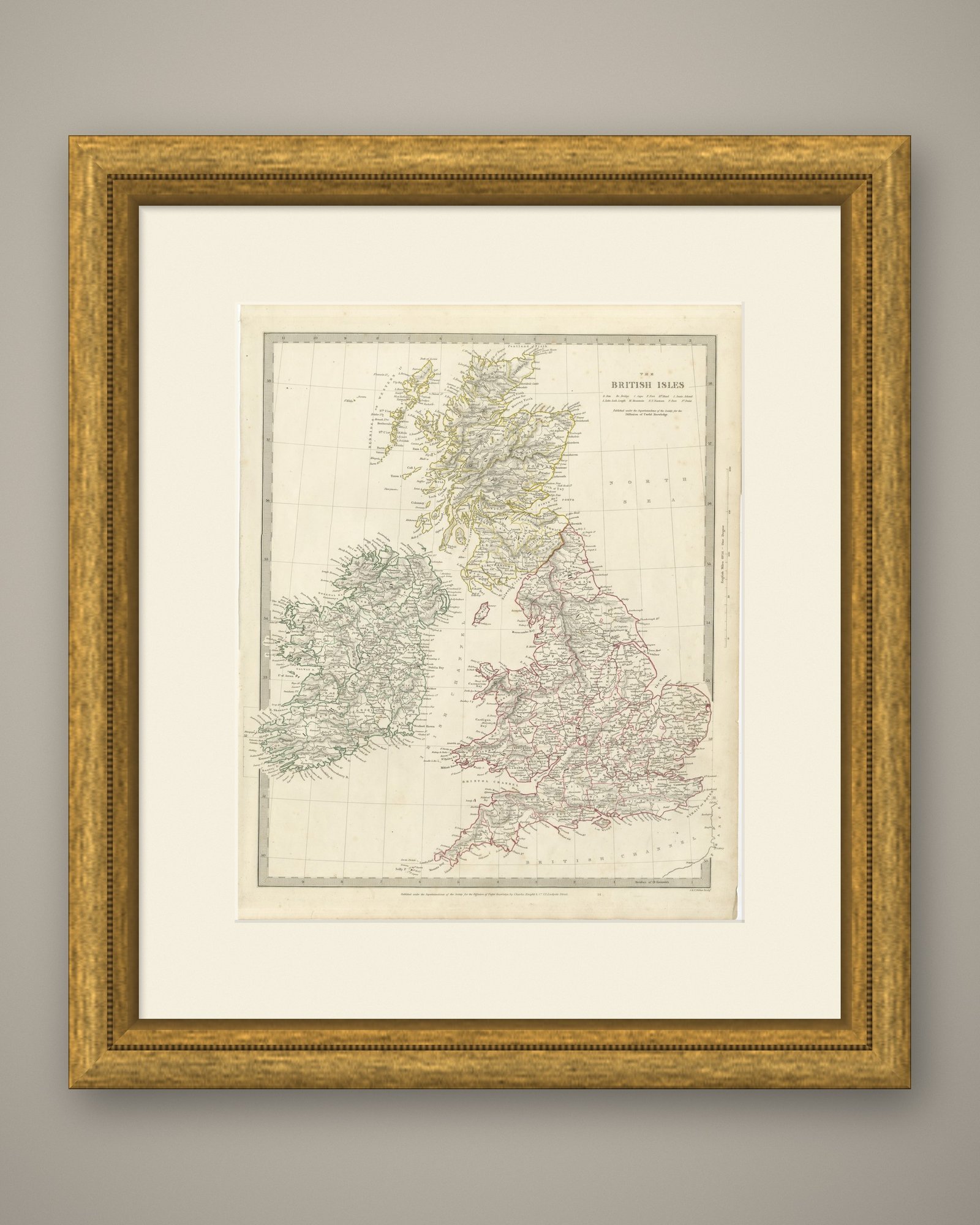
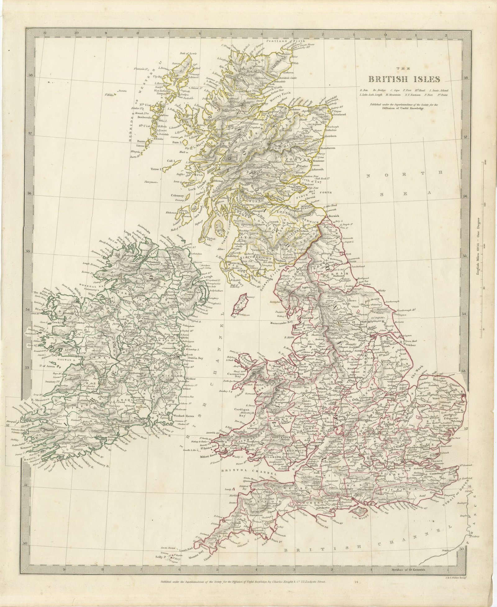
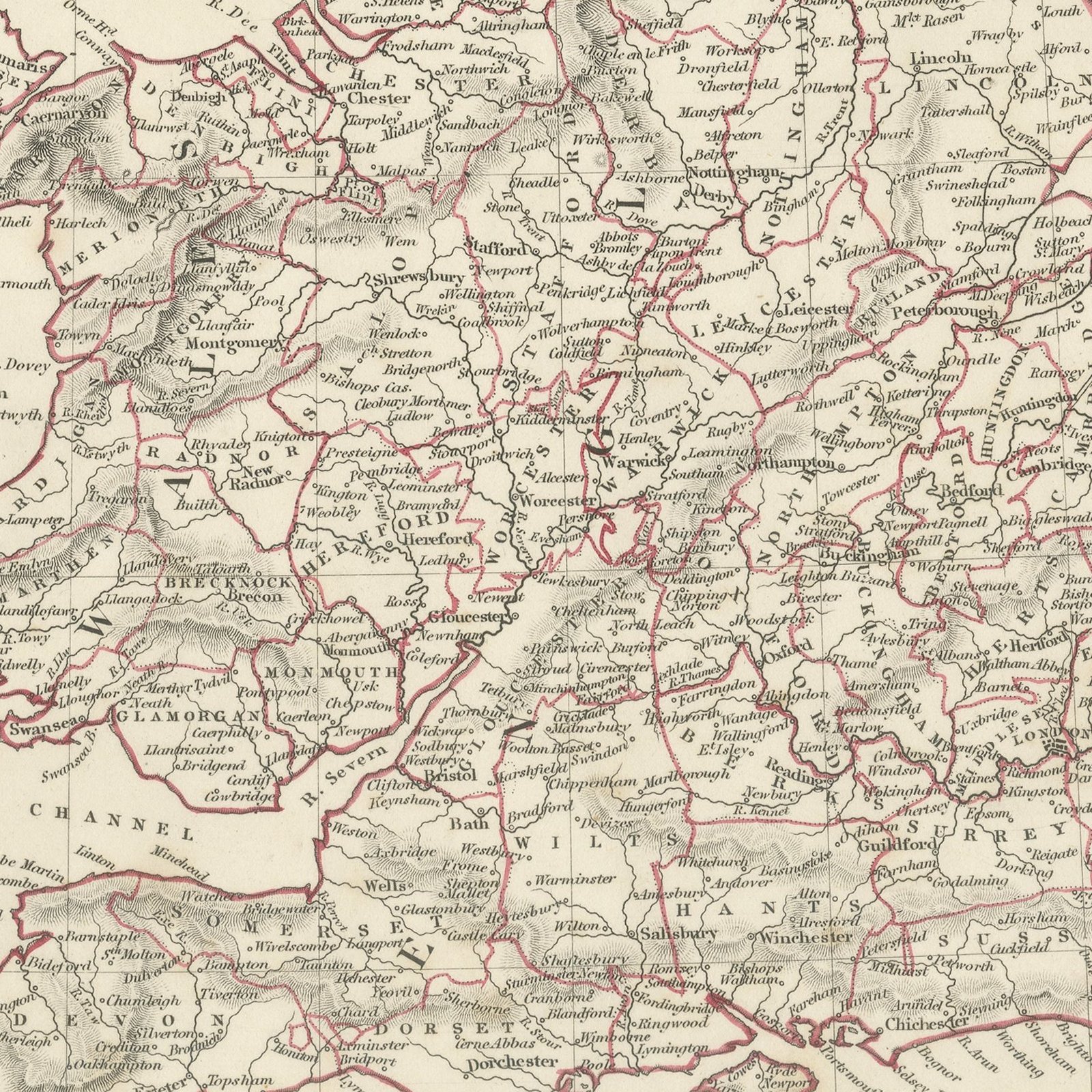
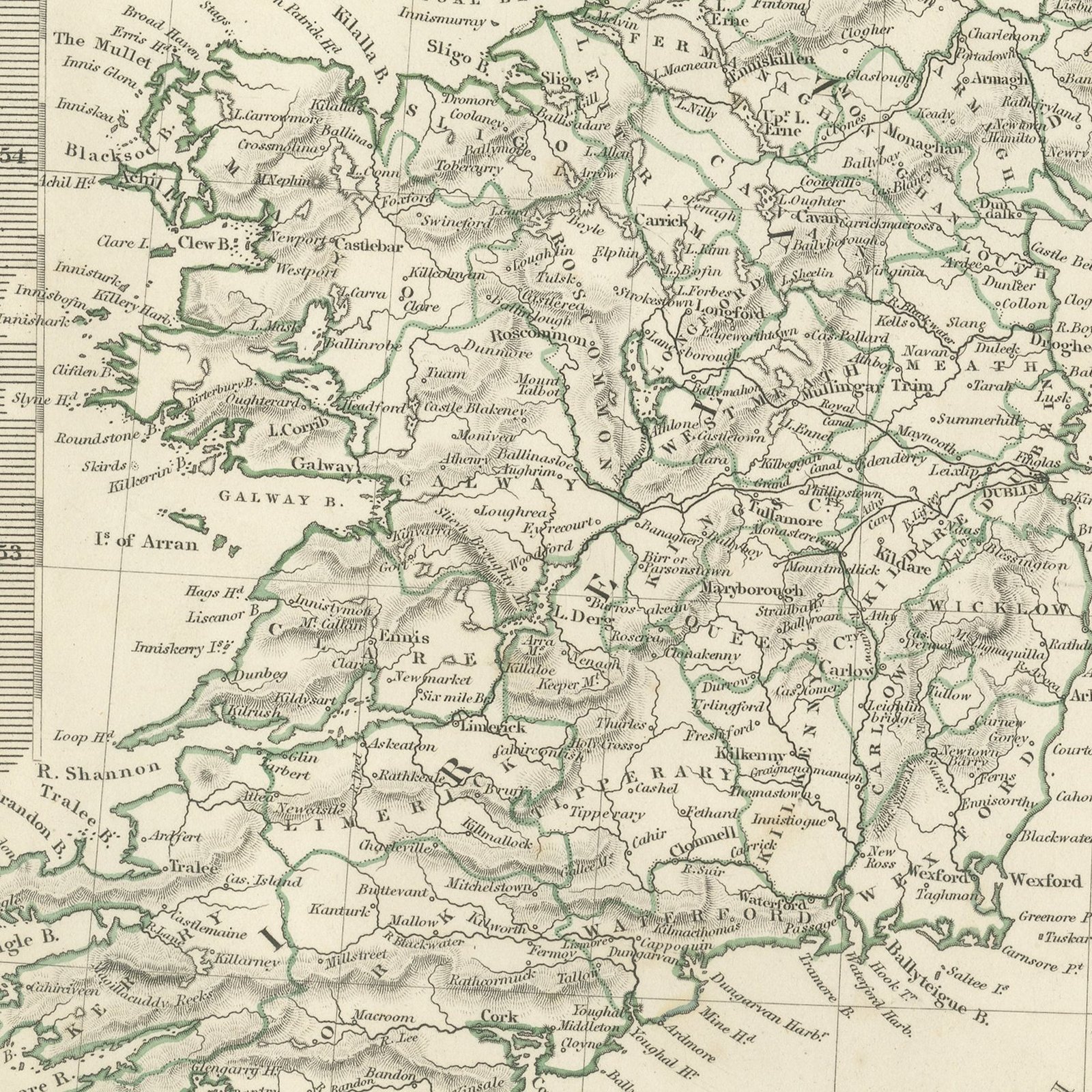
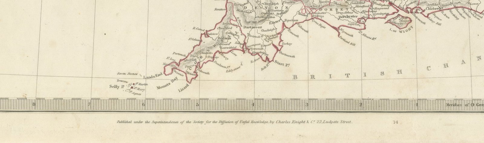
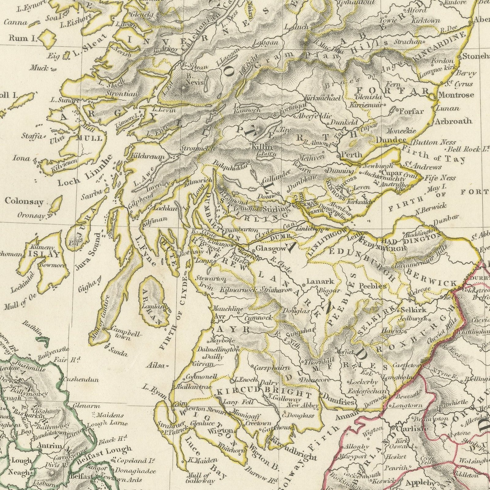
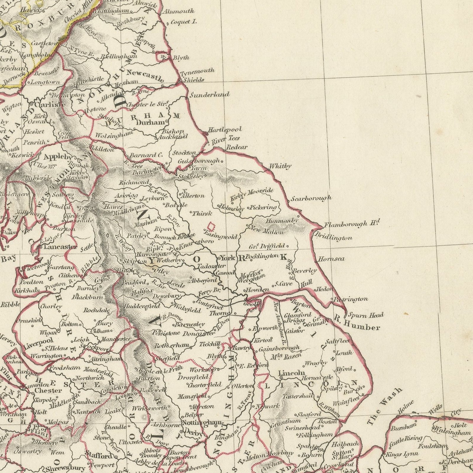
This antique map of the British Isles, published in 1845, shows England, Wales, Scotland and Ireland on a single sheet, with the counties divided by hand applied color in yellow, green, pink and red and the coastlines picked out in a firm engraved line. Scotland fills the upper third with the Hebrides, the Firths of Forth, Tay and Moray and the long northern seaboard; Ireland sits at the left with its four provinces; England and Wales run down the right with the Pennines, the Welsh hills and the Chilterns in fine hachure. The North Sea, the Irish Channel, the Bristol Channel and the British Channel are lettered across the open water, and the Isle of Man, Anglesey, Lundy and the Scilly Isles are all shown. A key beneath the title explains the abbreviations used for bays, capes, heads, lakes and mountains, and a scale of English miles runs down the right margin.
The plate comes from Maps of the Society for the Diffusion of Useful Knowledge, in the new edition corrected to the present time that Charles Knight and Company published at 22 Ludgate Street, London, in 1845, whose first volume covers Europe. The Society was founded in 1826 by Henry Brougham and his circle to publish useful knowledge at a low price. Its maps were issued in parts from 1829, first by Baldwin and Cradock, from 1842 by Chapman and Hall and then by Charles Knight, and the series grew to about two hundred maps. Most of them were engraved on steel by John and Charles Walker, and the outline color was applied by hand.
The plate is signed by J. and C. Walker as engravers. The imprint at the foot names Charles Knight and Company of 22 Ludgate Street, London.
Light overall age toning, with the paper darker along the right edge, scattered foxing in the margins, one or two spots larger than the rest, stains in the margins and handling wear to the top left and bottom right corners.
This is an original antique map, not a modern reproduction. This item is sold unframed.