 The sheet, as you receive it
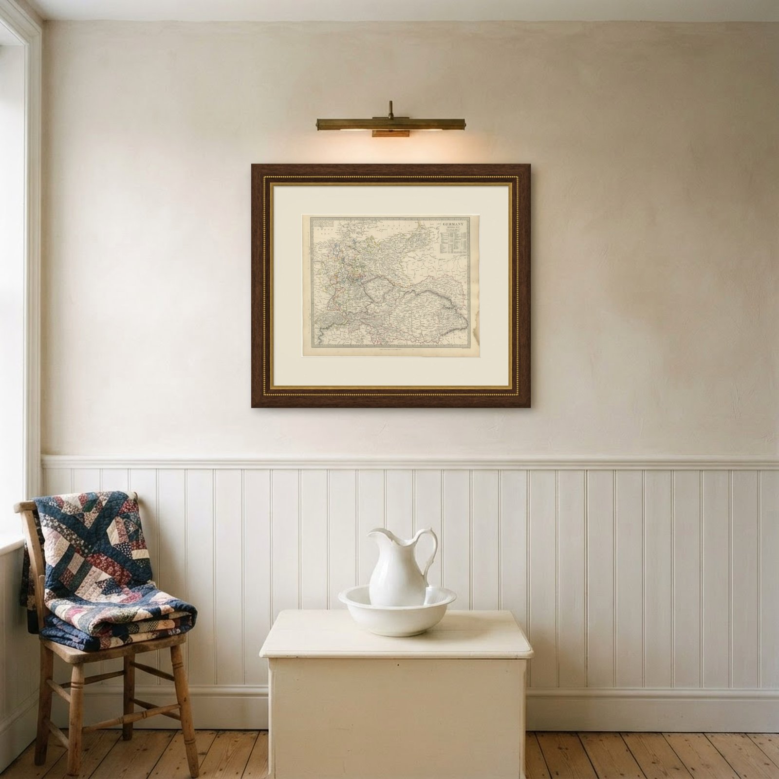
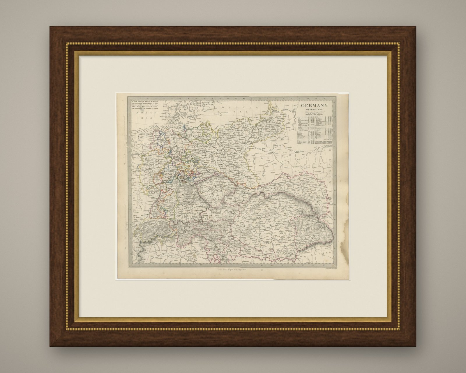
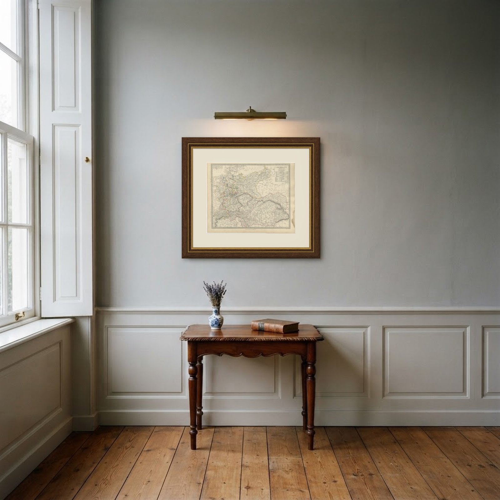 In the room
Interior designers: BarTrade members buy at their trade price. How it works
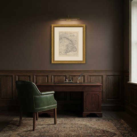
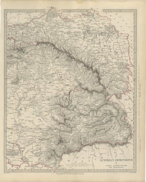
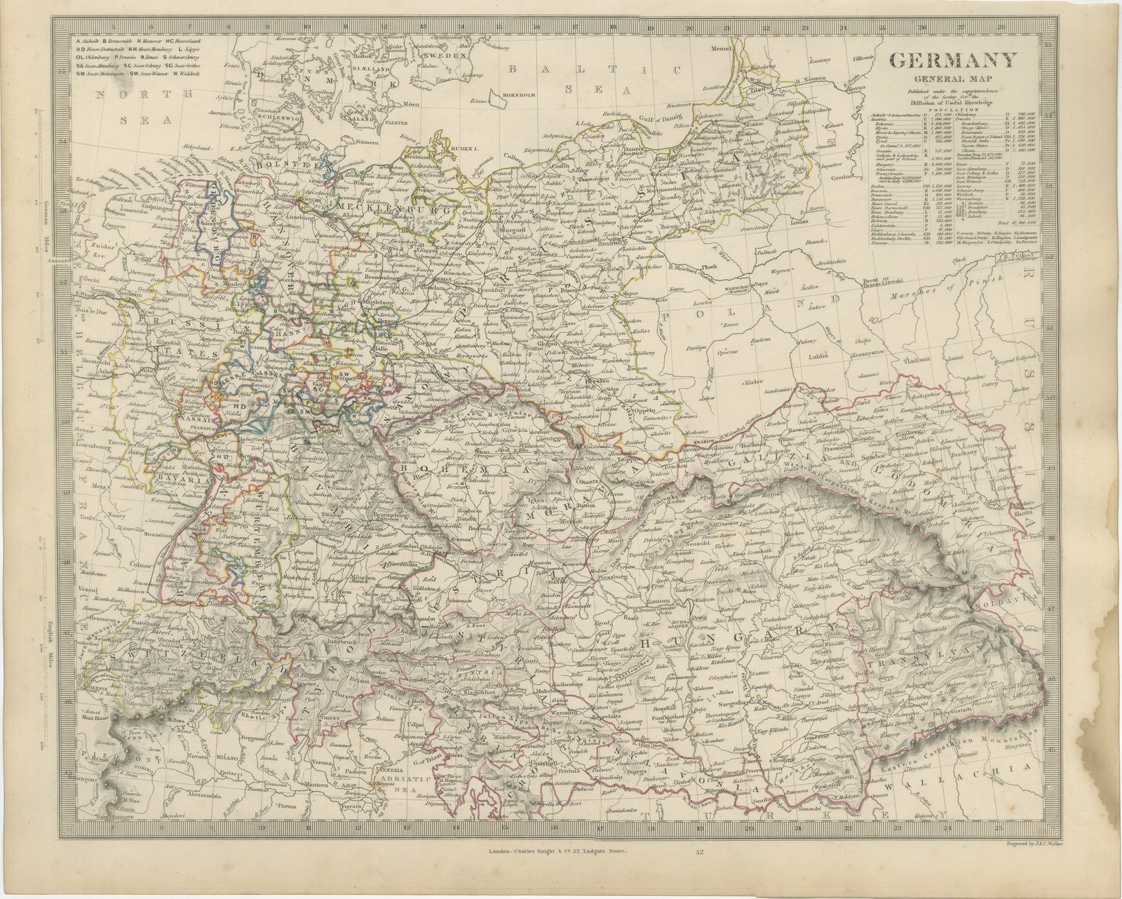
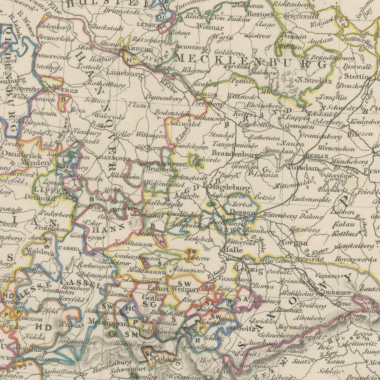
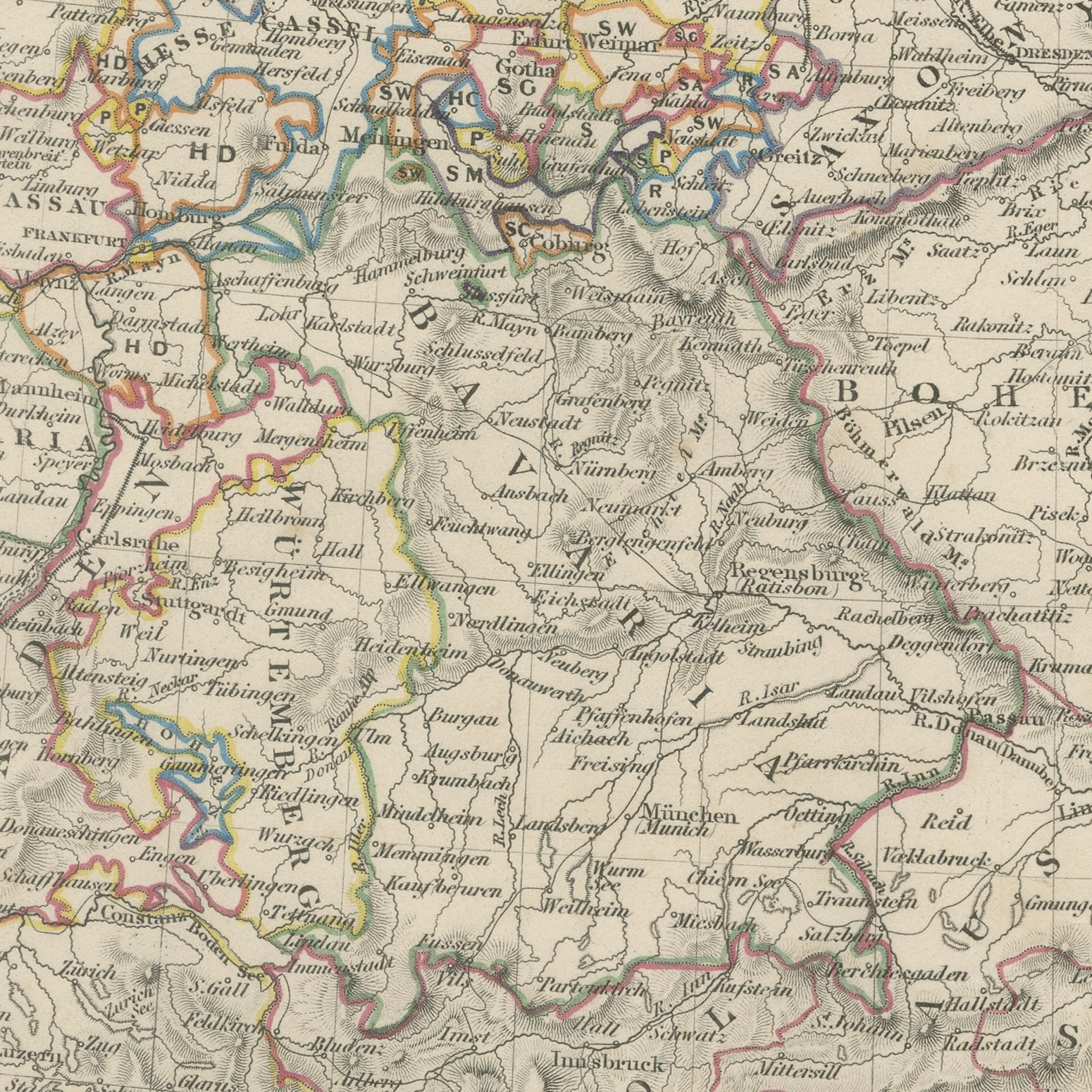
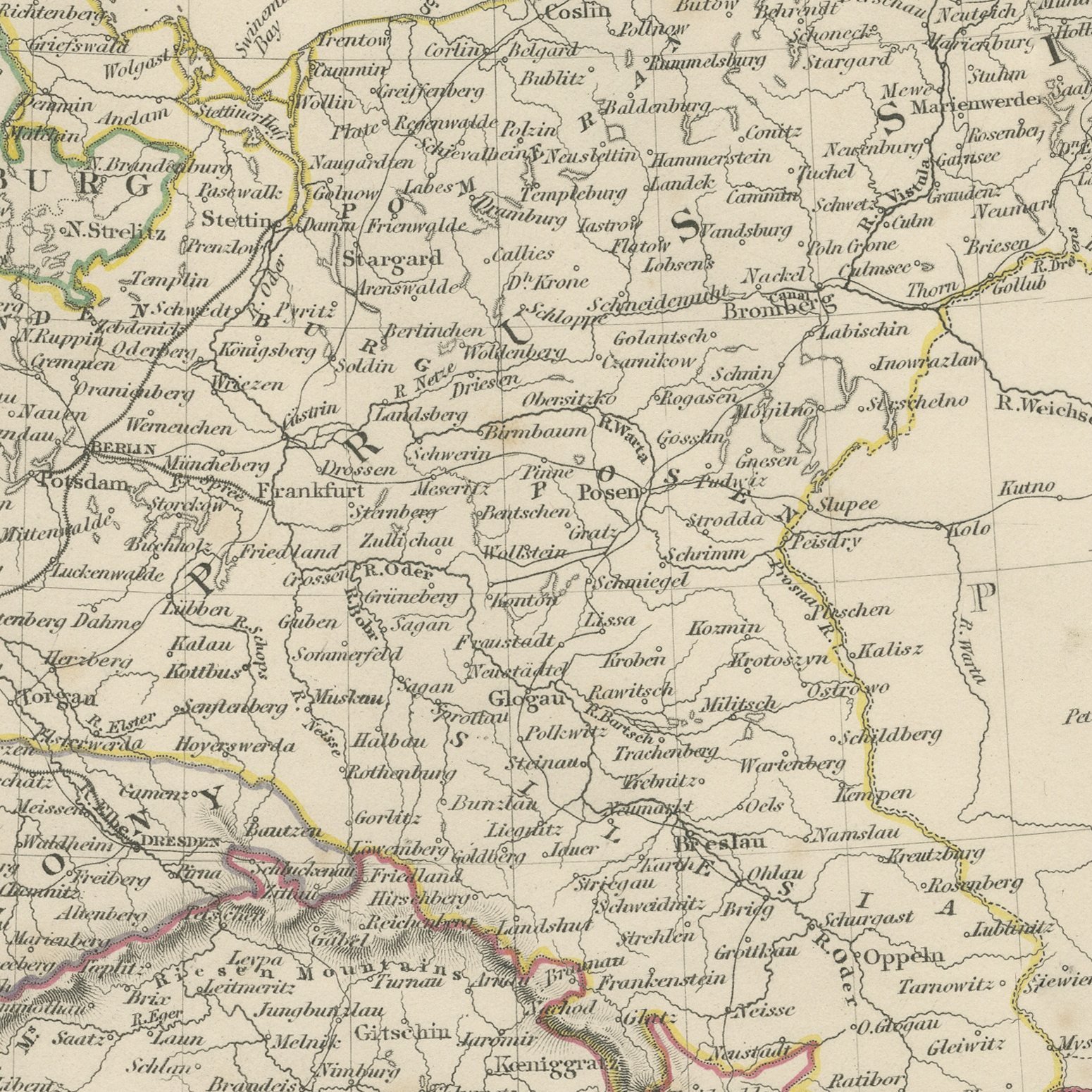
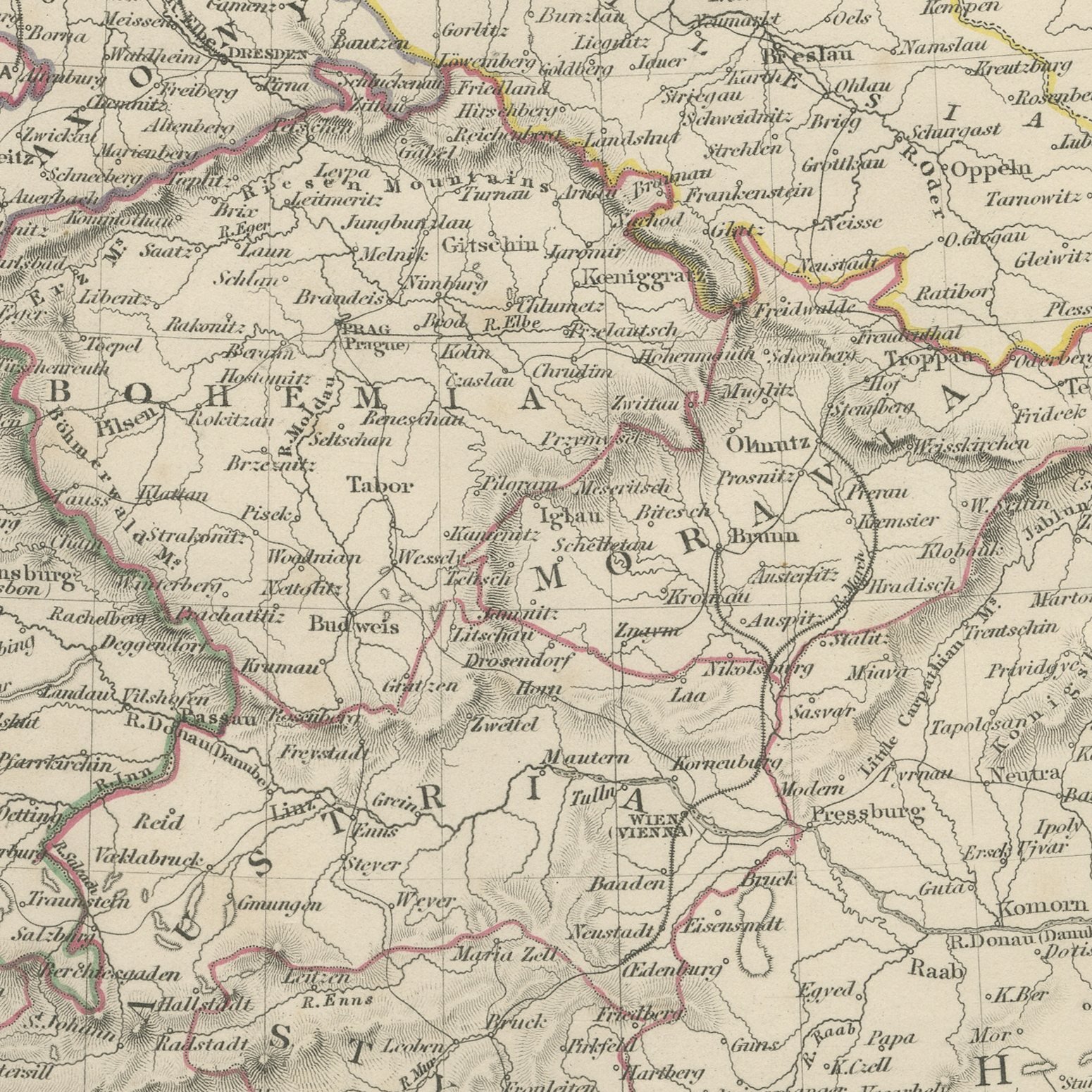
This antique general map of Germany, published in 1845, stretches far beyond Germany proper, running from the North Sea and the Baltic across the whole German confederation and the Austrian empire to Transylvania, Wallachia and the Carpathians. Prussia, Bavaria, Saxony, Hanover, Wurtemberg, Baden, Mecklenburg, Holstein and the small states of Thuringia and the Rhine are each bounded in hand applied color, and a long key gives the abbreviations used for Anhalt, Brunswick, Hanover, the two Hesses, Lippe, Oldenburg, Reuss, Schwarzburg, the Saxon duchies and Waldeck. Bohemia, Moravia, Austria, Styria, Hungary, Galicia and Transylvania fill the eastern half of the sheet. An engraved table at the upper right gives the population of each state. The Alps, the Carpathians, the Bohemian forest and the Erzgebirge are drawn in fine hachure, and the Rhine, Elbe, Oder, Vistula and Danube are traced across the plain.
The plate comes from Maps of the Society for the Diffusion of Useful Knowledge, in the new edition corrected to the present time that Charles Knight and Company published at 22 Ludgate Street, London, in 1845, whose first volume covers Europe. The Society was founded in 1826 by Henry Brougham and his circle to publish useful knowledge at a low price. Its maps were issued in parts from 1829, first by Baldwin and Cradock, from 1842 by Chapman and Hall and then by Charles Knight, and the series grew to about two hundred maps. Most of them were engraved on steel by John and Charles Walker, and the outline color was applied by hand.
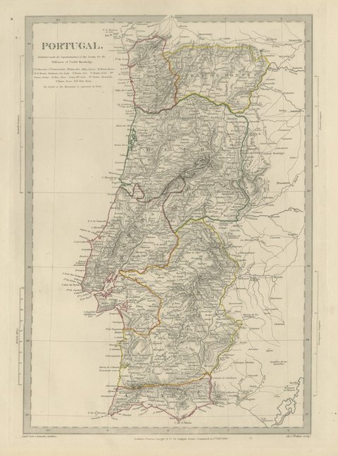
The plate is signed by J. and C. Walker as engravers. The imprint at the foot names Charles Knight and Company of 22 Ludgate Street, London.
Strong age toning, the paper a warm buff, with the paper darker along the right and bottom edges, scattered foxing in the margins, one or two spots larger than the rest and stains in the margins.
This is an original antique map, not a modern reproduction. This item is sold unframed.