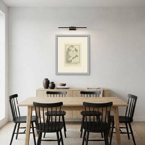
 The sheet, as you receive it
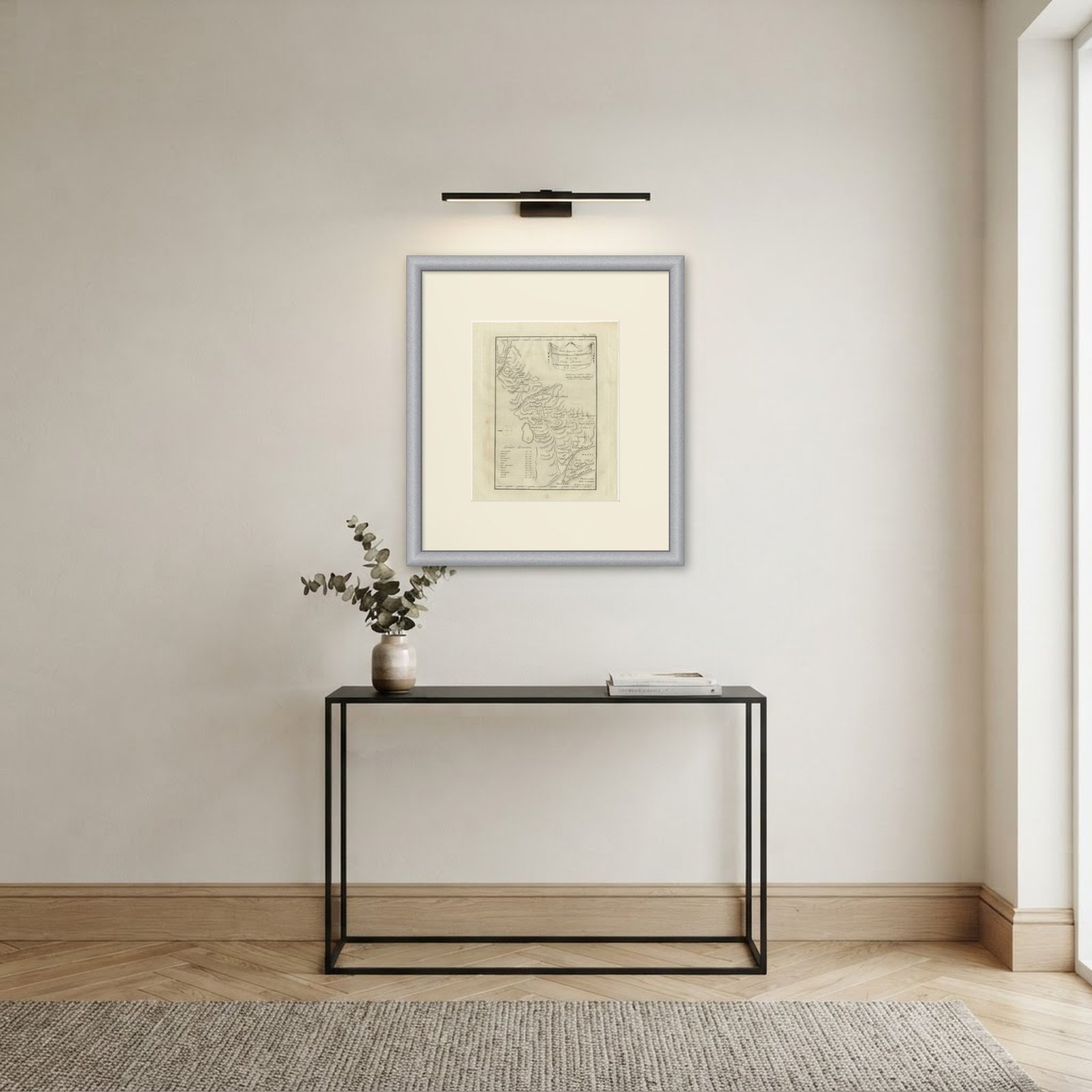 In the room
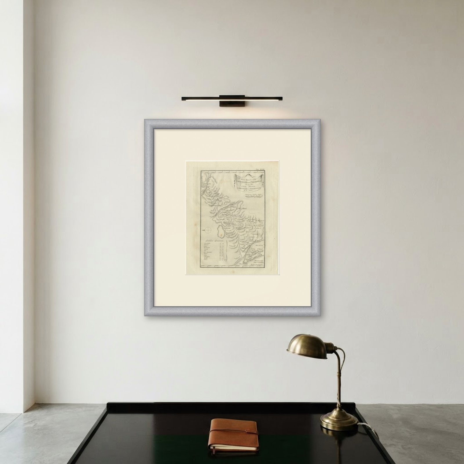
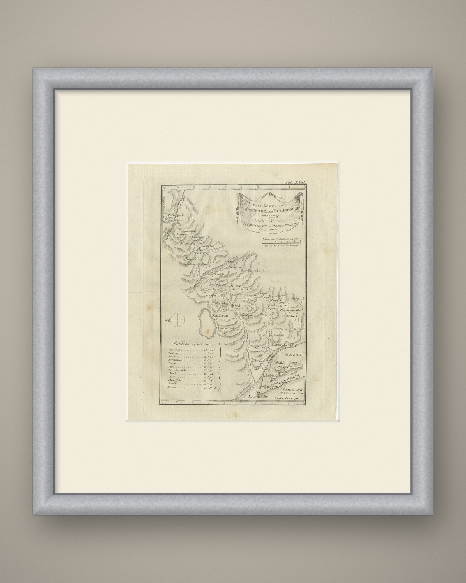
Interior designers: BarTrade members buy at their trade price. How it works
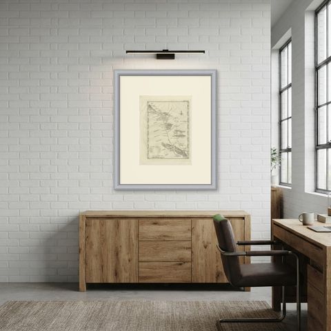
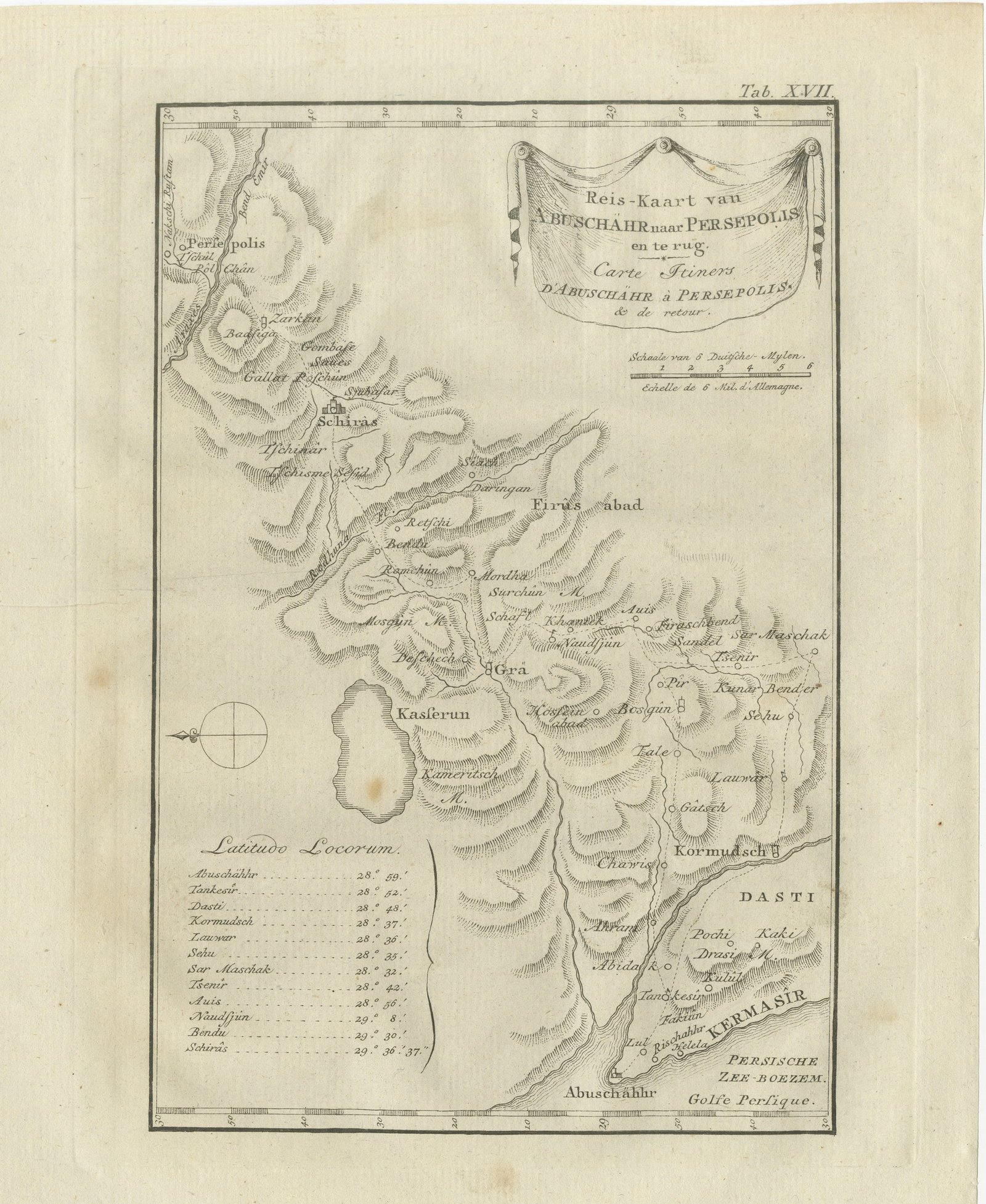
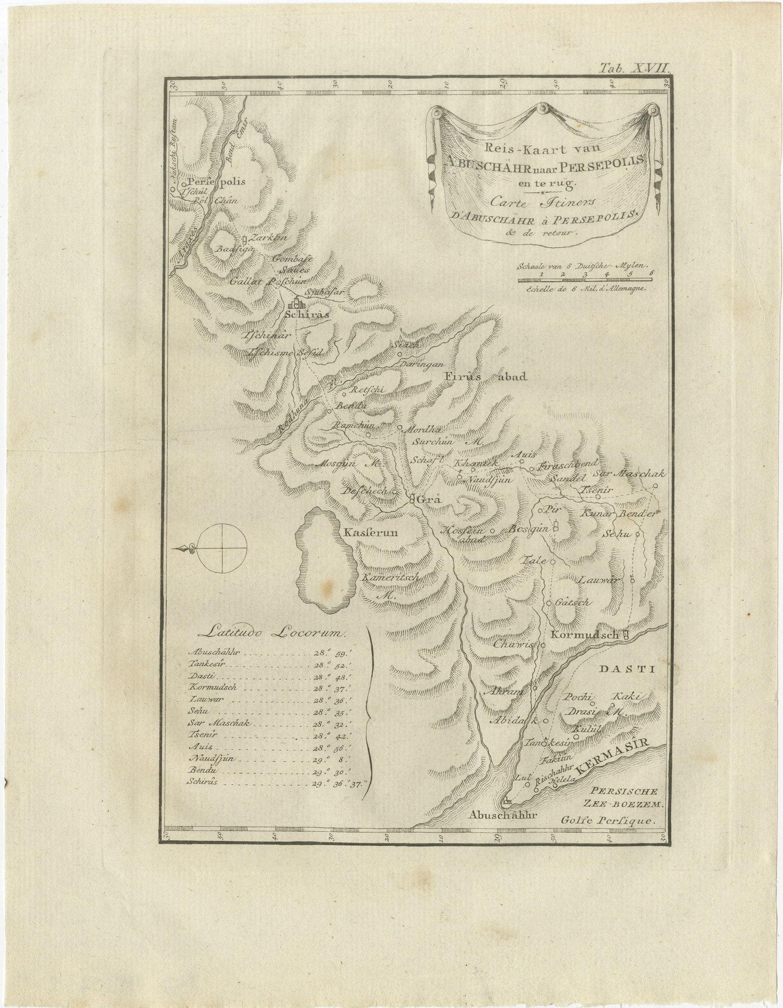
This is an original antique copper engraving from 1780, a route map of the journey between the Persian Gulf coast and Persepolis. The title is engraved in a draped cartouche at the upper right: Reis-Kaart van ABUSCHÄHR naar PERSEPOLIS. en te rug. and Carte Itiners, D'ABUSCHÄHR à PERSEPOLIS. & de retour., meaning "Route map from Abushahr to Persepolis and back".
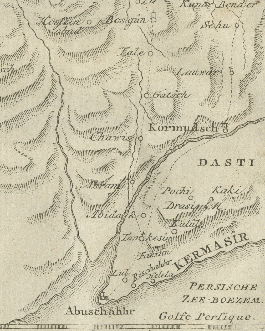
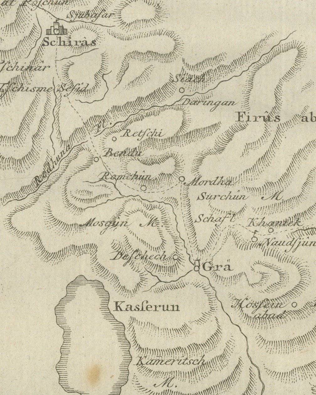
The coast runs across the lower right corner, with the sea lettered PERSISCHE ZEE-BOEZEM. and Golfe Persique. and the port of Abuschähhr on the shore. From there dotted routes run up the plate through ranges of hills drawn in rows of shaded ridges, past places such as Kormudsch, Kasserun, Firûs abad and Schirâs, to Persepolis near the upper left corner. The districts DASTI and KERMASIR are lettered near the coast, and a lake lies beside Kasserun. In the lower left a table headed Latitudo Locorum lists twelve places with their latitudes, from Abuschähhr at 28 degrees 59 minutes to Schirâs at 29 degrees 36 minutes 37 seconds. A bar scale under the cartouche is lettered Schaale van 6 Duitsche-Mylen. and Echelle de 6 Mil. d'Allemagne., a compass mark stands at the left, and the border is graduated with figures.
No artist's or engraver's name is printed on the sheet. It is lettered "Tab. XVII." at the upper right.
This sheet belongs to the second volume of Carsten Niebuhr's Voyage en Arabie & en d'autres Pays circonvoisins, issued at Amsterdam by S. J. Baalde and at Utrecht by Barthelemy Wild, with MDCCLXXX on its title page. Niebuhr (1733 to 1815) was a German born surveyor in Danish service and the only member of the Danish expedition to Arabia (1761 to 1767), sent by King Frederick V of Denmark, to return alive. The account was first published in German at Copenhagen; this is the French translation printed in Amsterdam and Utrecht.
Light uneven toning, browner toward the edges. Handling soiling along the bottom and top edges. A few small foxing spots in the margin. Slight wear at the bottom right and top left corners.
This is an original antique print, not a modern reproduction. This item is sold unframed.