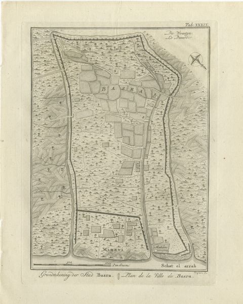
 The sheet, as you receive it
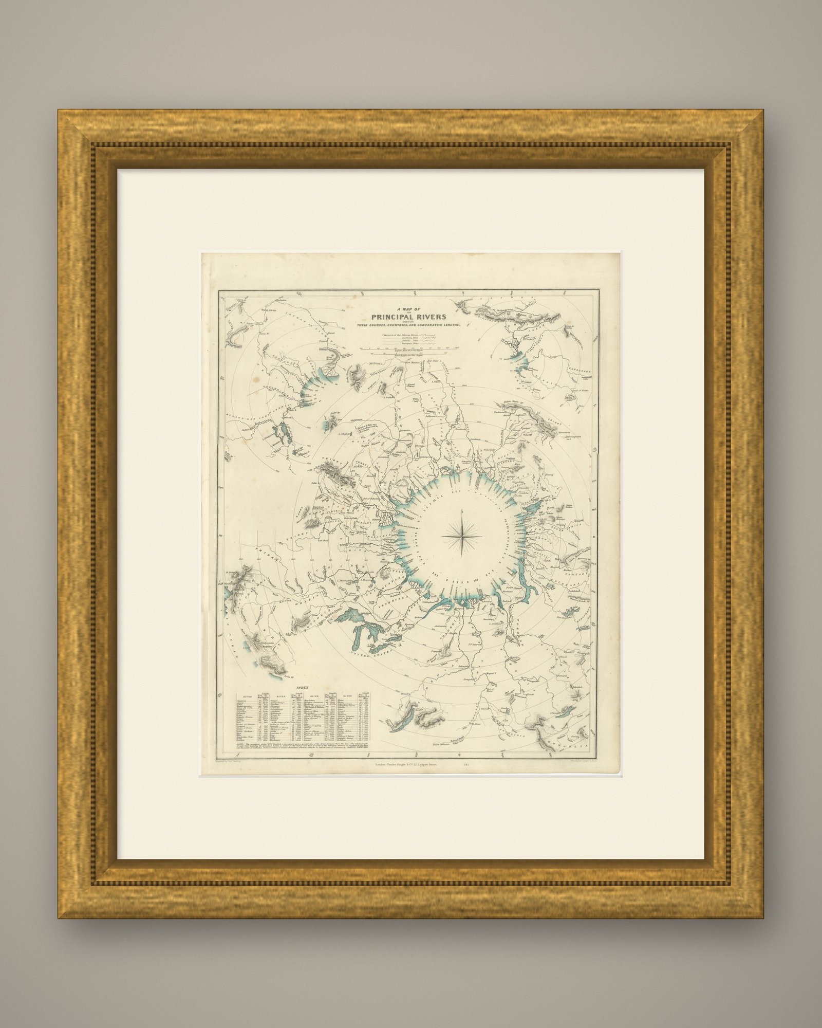
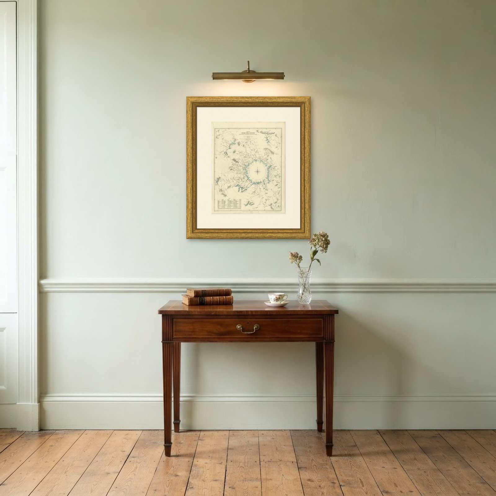 In the room
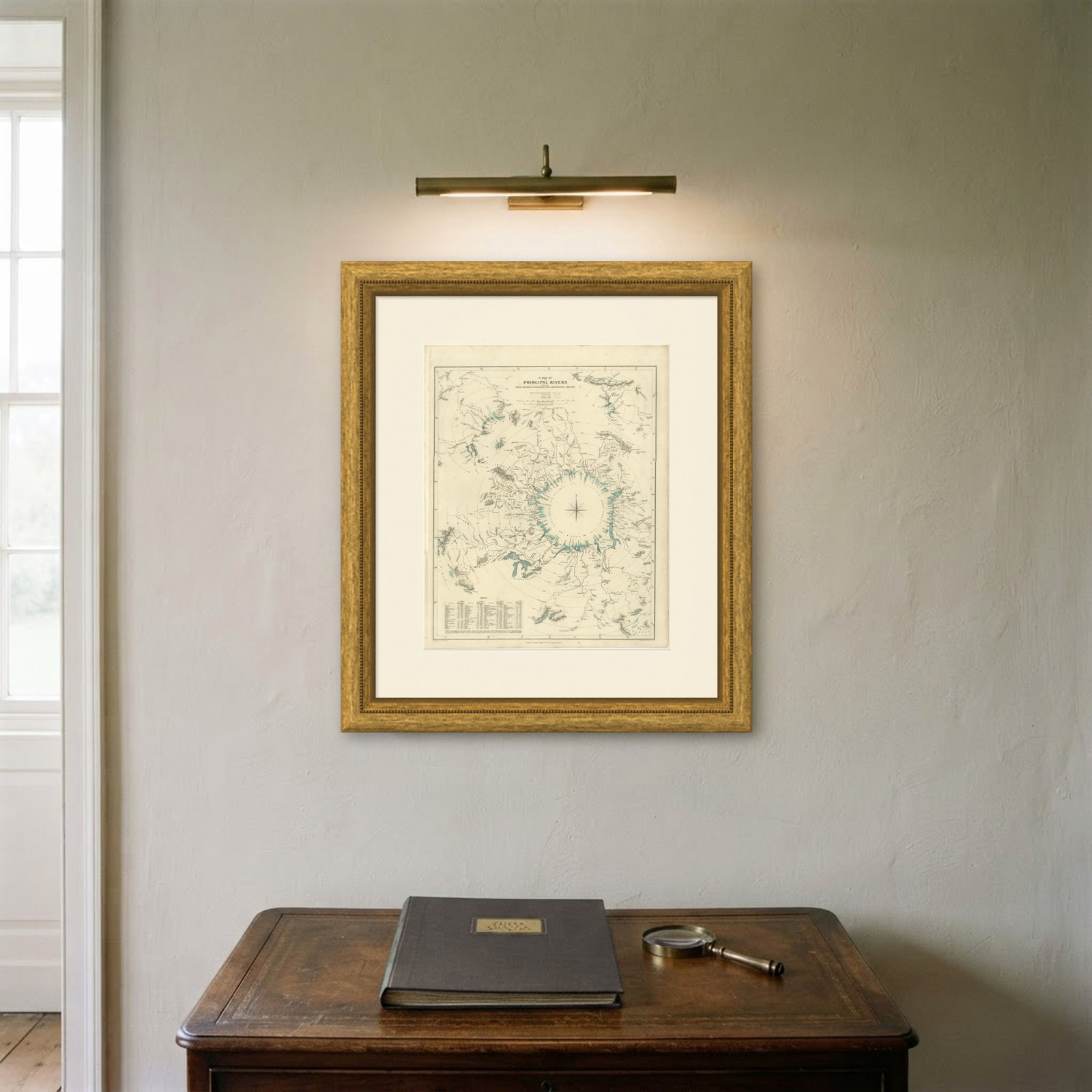
Interior designers: BarTrade members buy at their trade price. How it works
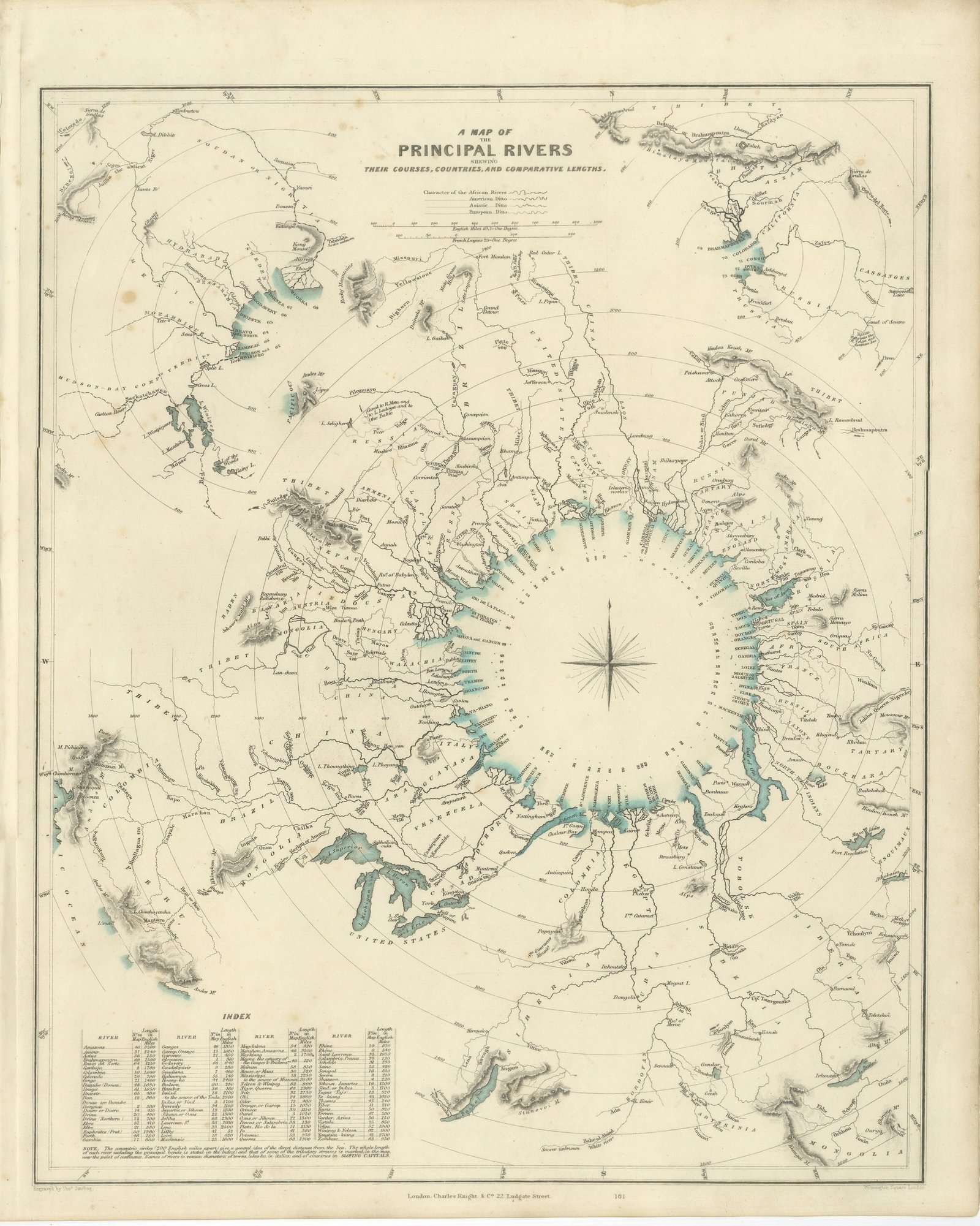
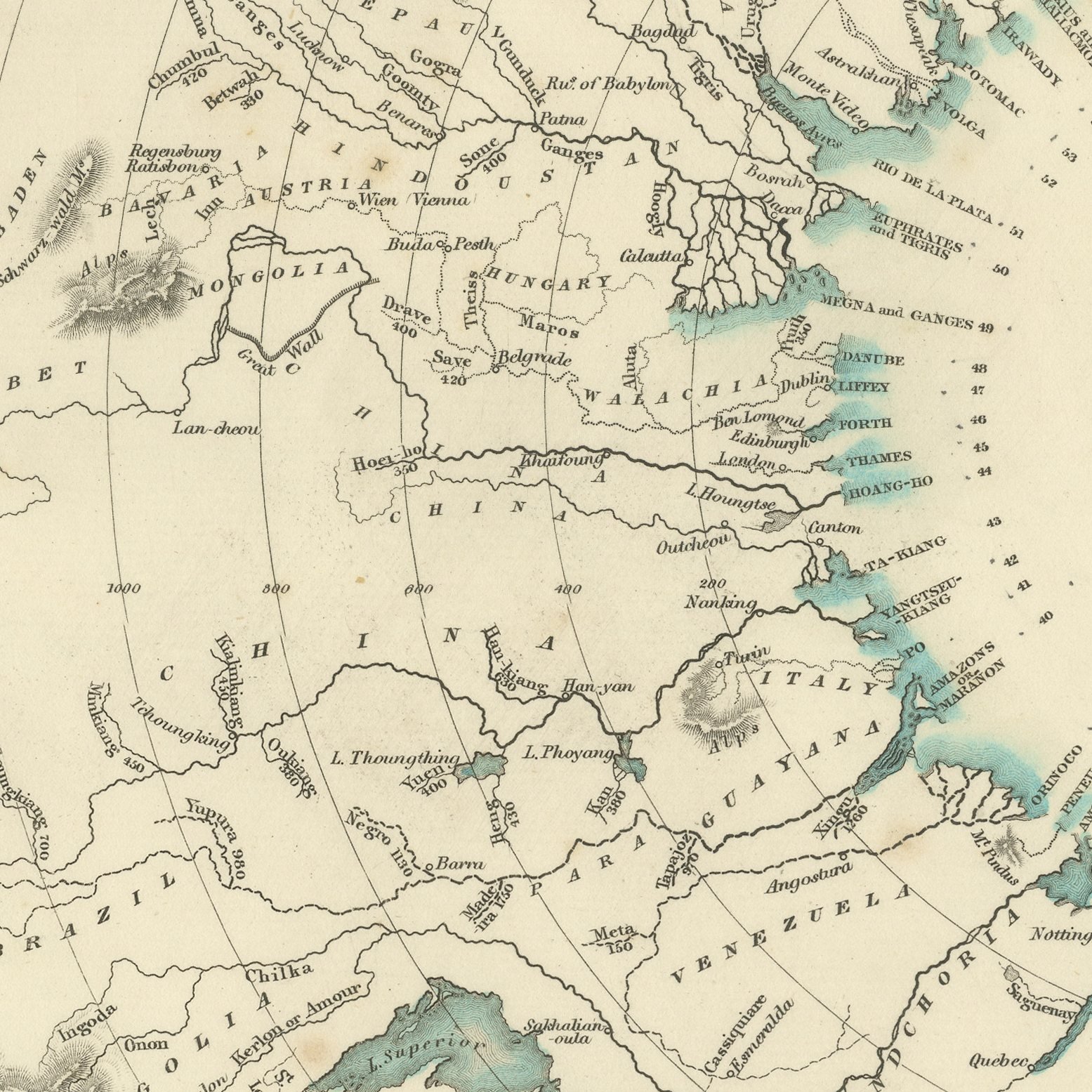
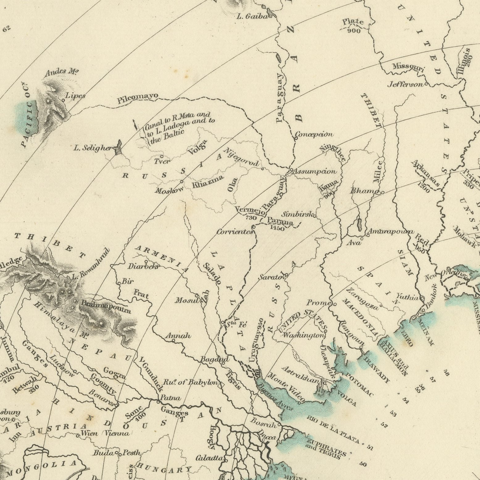
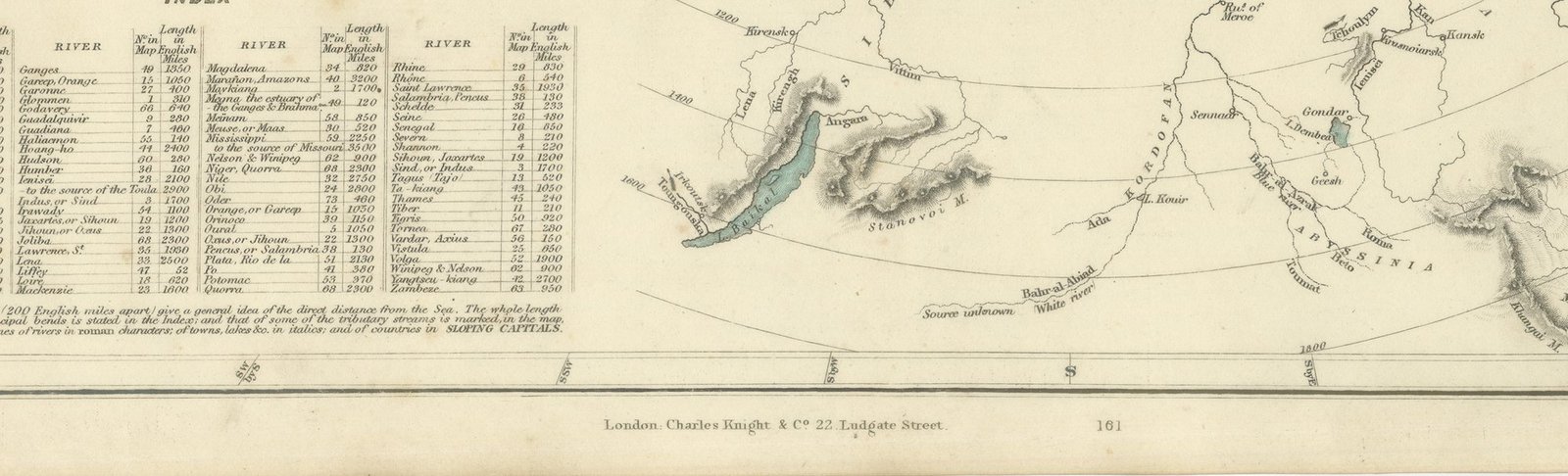
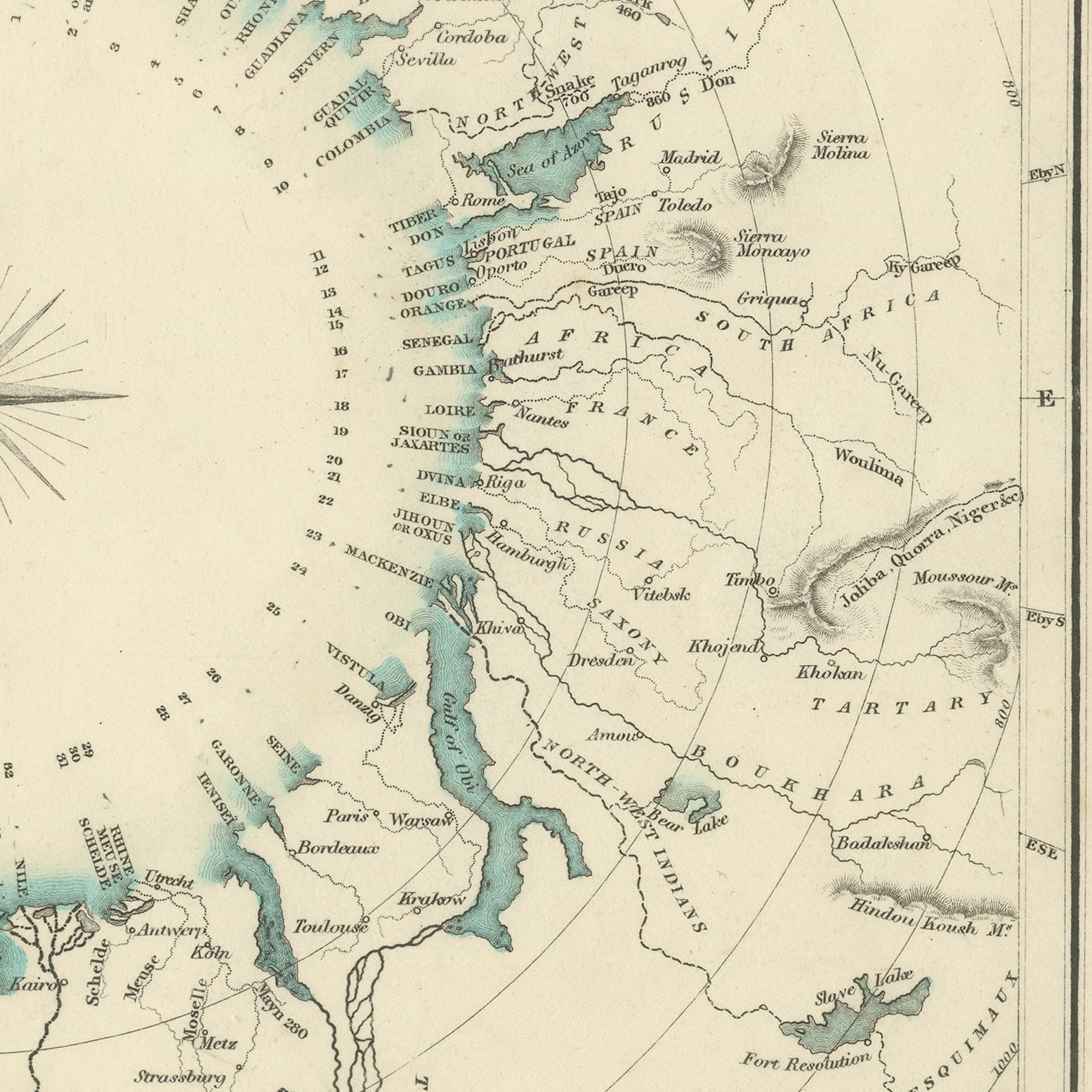
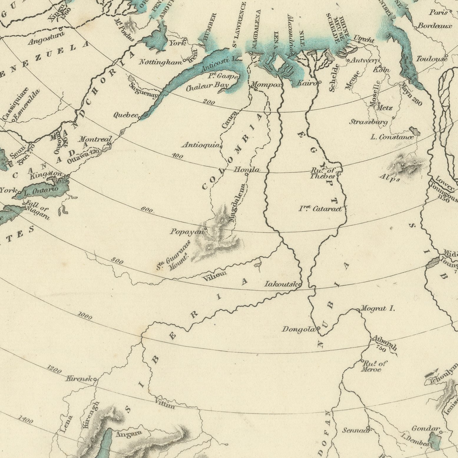
This antique comparative chart of 1845 is a plate from the Society's atlas. Instead of a map it gives the principal rivers of the world drawn out as a single composition, each traced from its source to its mouth and laid along a set of concentric circles graduated by length, so that the Amazon, the Mississippi, the Nile, the Yang tse Kiang, the Hoang Ho, the Volga, the Danube, the Lena, the Obi, the Yenisei, the Congo, the Niger, the Ganges and the Murray can all be measured against one another at a glance. The lakes in which they rise and the seas into which they discharge are drawn in, the mountain ranges they cut through are shown in hachure, and the short rivers of Europe, the Thames, the Severn, the Seine, the Tiber and the Jordan among them, huddle at the center. A compass rose sits at the middle, an engraved index at the foot lists every river with its length in English miles, and the sheet is signed by Thomas Starling of Wilmington Square, London.
The plate comes from Maps of the Society for the Diffusion of Useful Knowledge, in the new edition corrected to the present time that Charles Knight and Company published at 22 Ludgate Street, London, in 1845, whose first volume covers Europe. The Society was founded in 1826 by Henry Brougham and his circle to publish useful knowledge at a low price. Its maps were issued in parts from 1829, first by Baldwin and Cradock, from 1842 by Chapman and Hall and then by Charles Knight, and the series grew to about two hundred maps. Most of them were engraved on steel by John and Charles Walker, and the outline color was applied by hand.
The plate is signed by Thomas Starling as engraver. The imprint at the foot names Charles Knight and Company of 22 Ludgate Street, London.
Light overall age toning, with the paper darker along the right and top edges, foxing through the margins, one or two spots larger than the rest, stains in the margins and handling wear to the bottom right corner.
This is an original antique map, not a modern reproduction. This item is sold unframed.