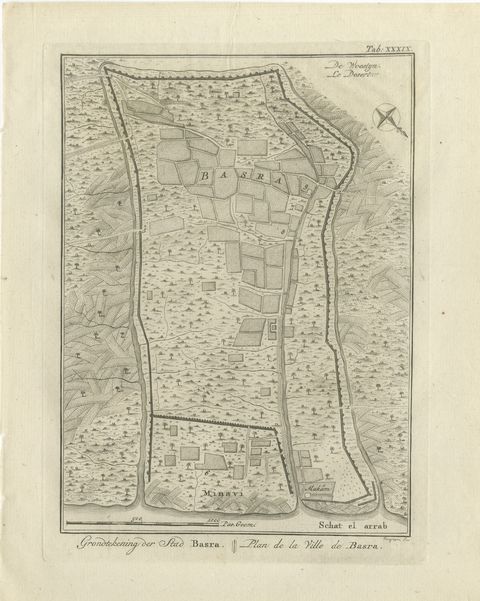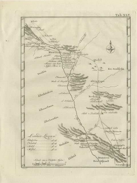
 The sheet, as you receive it
 In the room
Interior designers: BarTrade members buy at their trade price. How it works
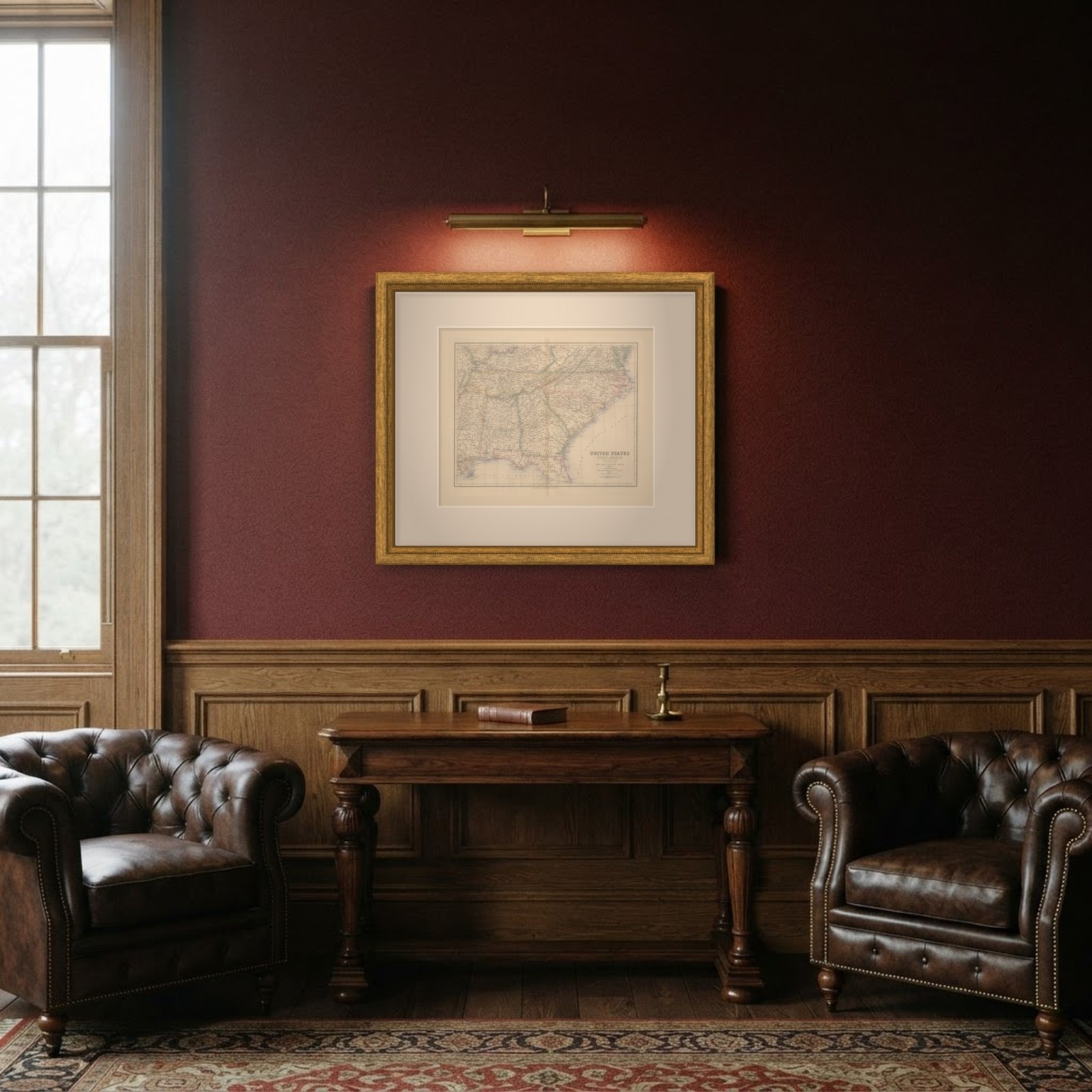
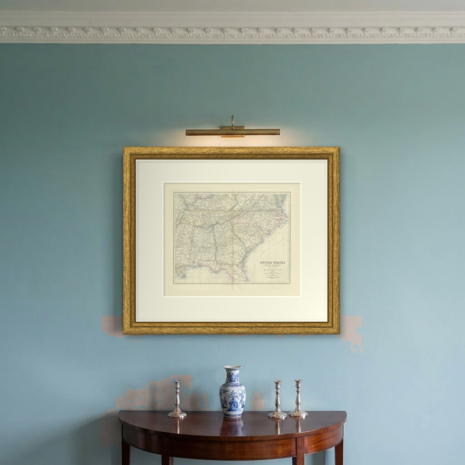
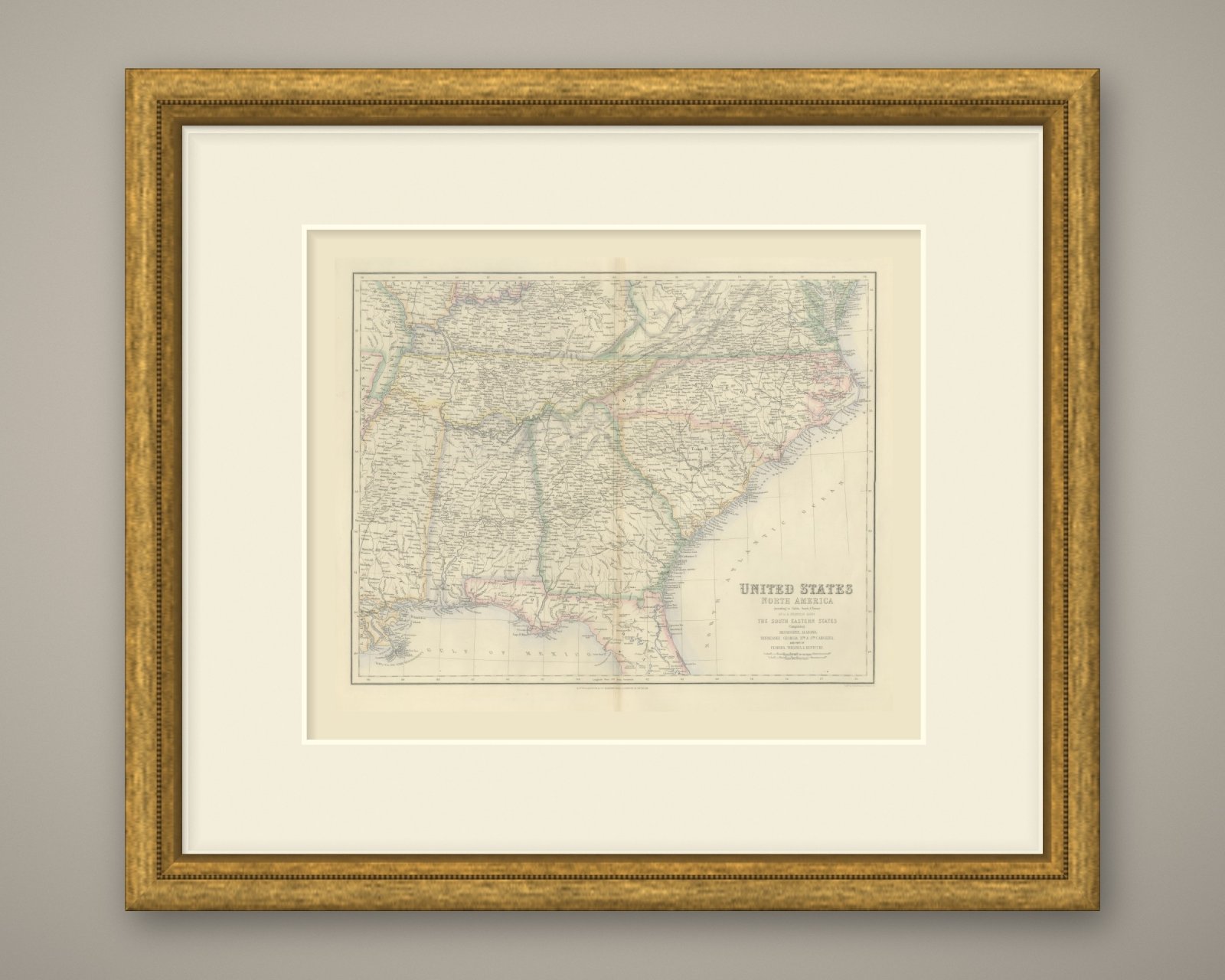
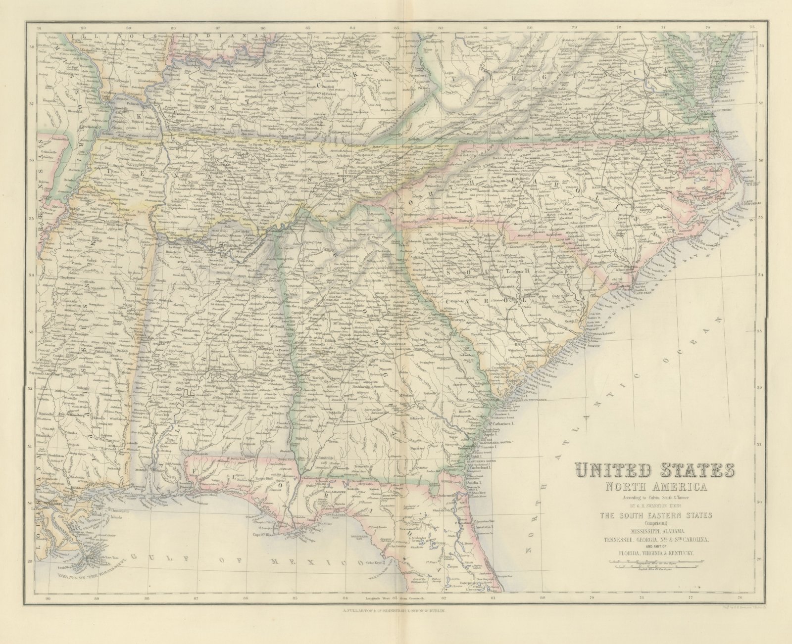
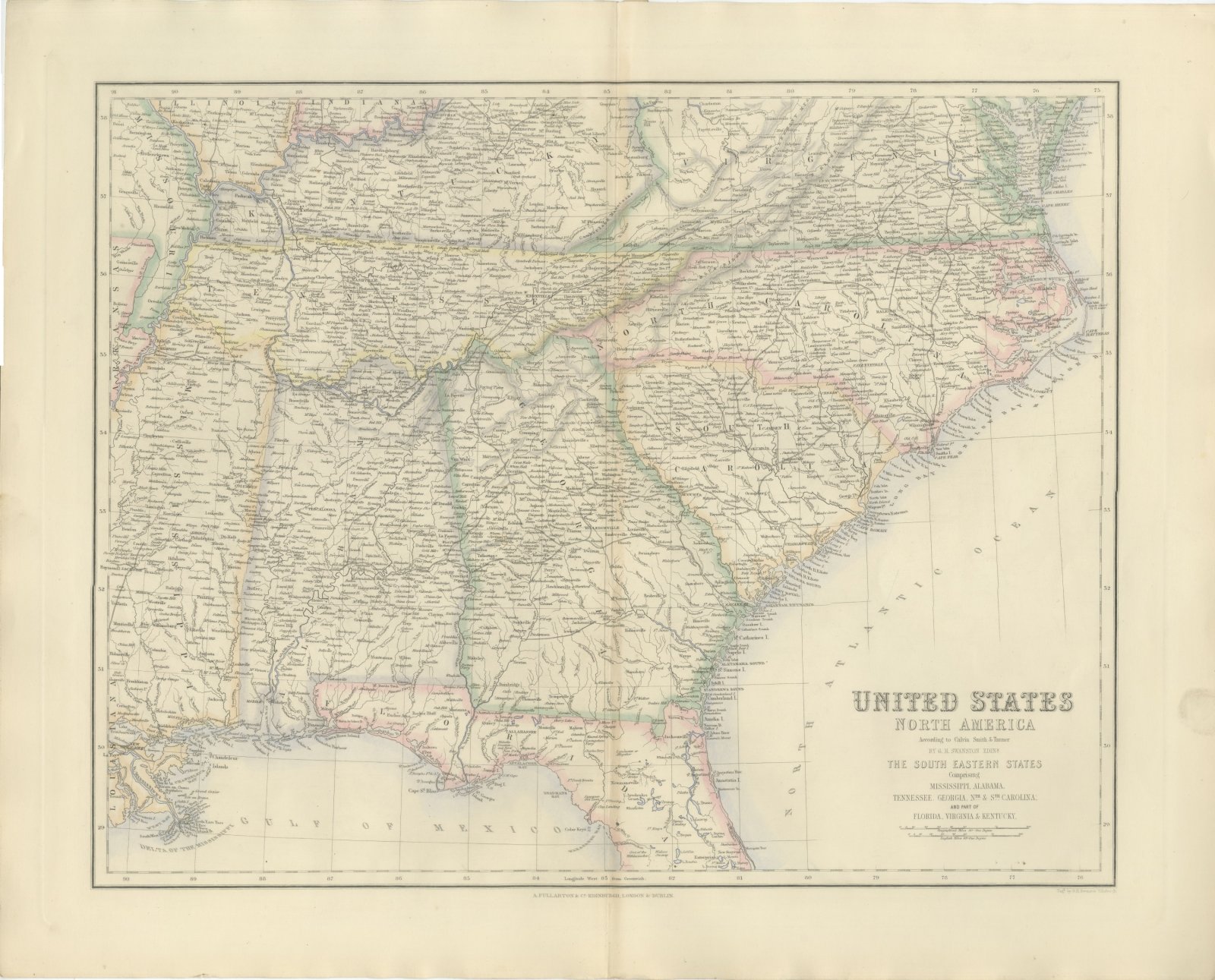
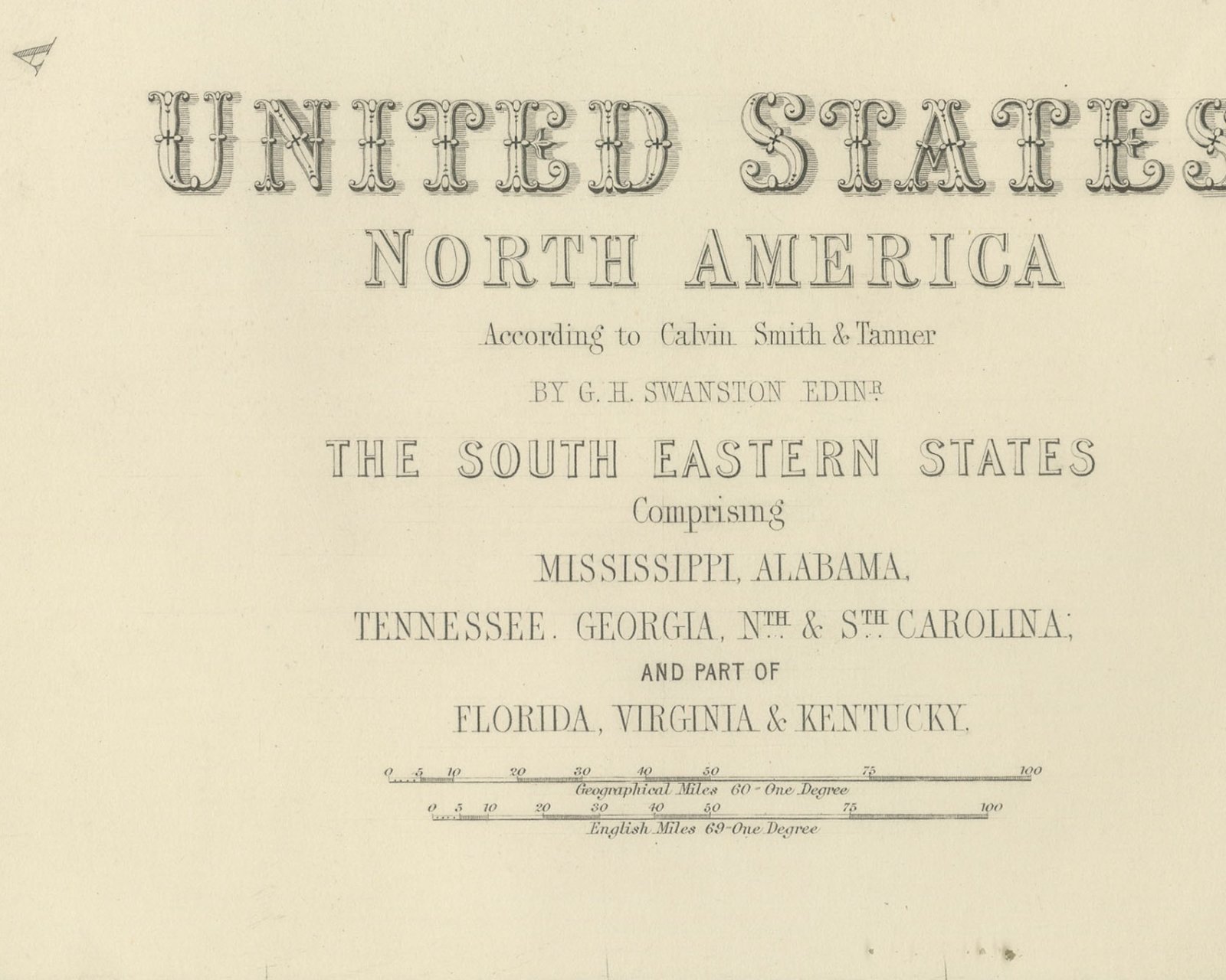
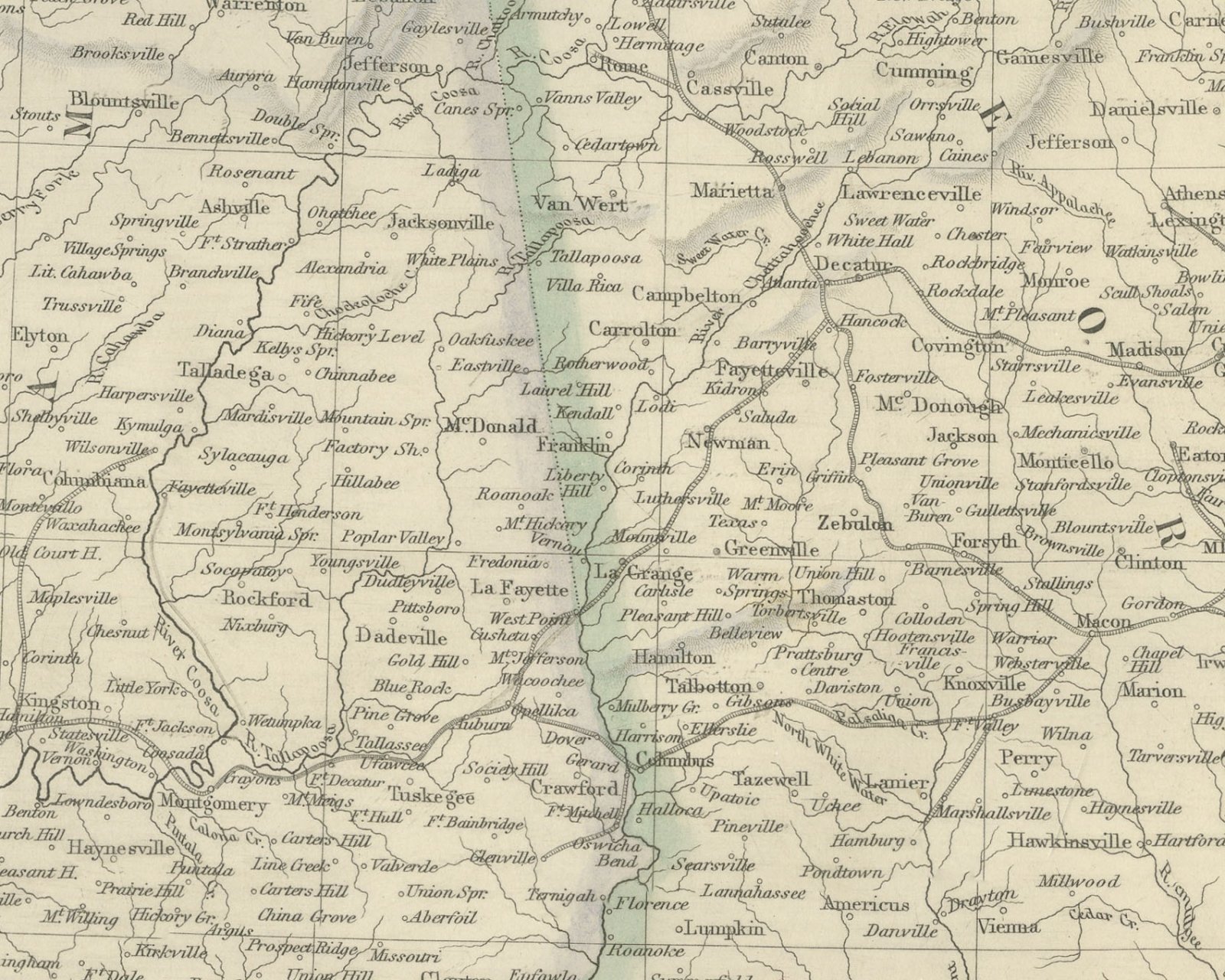
This is an original antique engraved map, colored by hand, from Fullarton's Companion Atlas to the Gazetteer of the World. The engraved title reads "UNITED STATES NORTH AMERICA", with the heading "THE SOUTH EASTERN STATES Comprising MISSISSIPPI, ALABAMA, TENNESSEE. GEORGIA, NTH. & STH. CAROLINA; AND PART OF FLORIDA, VIRGINIA & KENTUCKY." The map extends from Louisiana, the Mississippi River and the Missouri and Arkansas shores east to the Atlantic coast of Virginia and the Carolinas, and from the Ohio River south to the Gulf of Mexico. Only the northern part of Florida is shown, down to about Lake Harney and New Smyrna. State boundaries are colored, and the sheet is dense with towns, rivers and railroads.
Along the Atlantic the coast is named in detail, from "CAPE HENRY" and "NORFOLK" past "ALBEMARLE SOUND", "PAMPLICO SOUND", "Nags Head" and "CAPE HATTERAS" to "CAPE FEAR", "LONG BAY", "CHARLESTON" and "SAVANNAH". On the Gulf side are "MOBILE BAY", "Pensacola", "TALLAHASSEE" and "APPALACHEE BAY", and at the lower left "NEW ORLEANS" and "DELTA OF THE MISSISSIPPI". "RICHMOND", "NASHVILLE" and "LOUISVILLE" appear in the north. Two scale bars under the title read "Geographical Miles 60 = One Degree" and "English Miles 69 = One Degree".
The title credits "According to Calvin Smith & Tanner" and "BY G. H. SWANSTON EDINR." Below the bottom border at the lower right is the engraver's line "Engd. by G.H. Swanston Edinburgh.", and the imprint in the center reads "A. FULLARTON & Co. EDINBURGH, LONDON & DUBLIN."
The Companion Atlas to the Gazetteer of the World was published by A. Fullarton and Co. of London, Edinburgh and Dublin and issued to subscribers in parts. The original printed wrapper of Part 7 survives with these maps; it bills forty-three maps, names G. H. Swanston as engraver and is marked "Colored Copy". Florida, shown here only in its northern half, had been admitted to the Union as a state in 1845.
This is an original antique map, not a modern reproduction. This item is sold unframed.