 The sheet, as you receive it
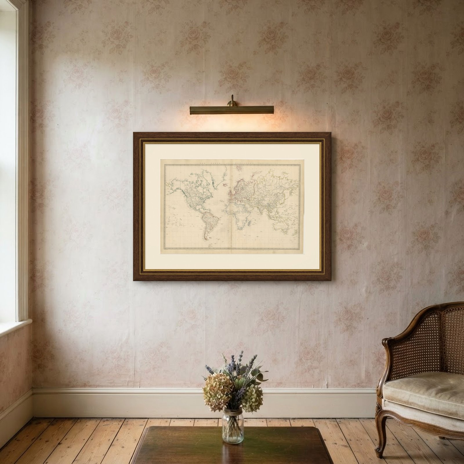
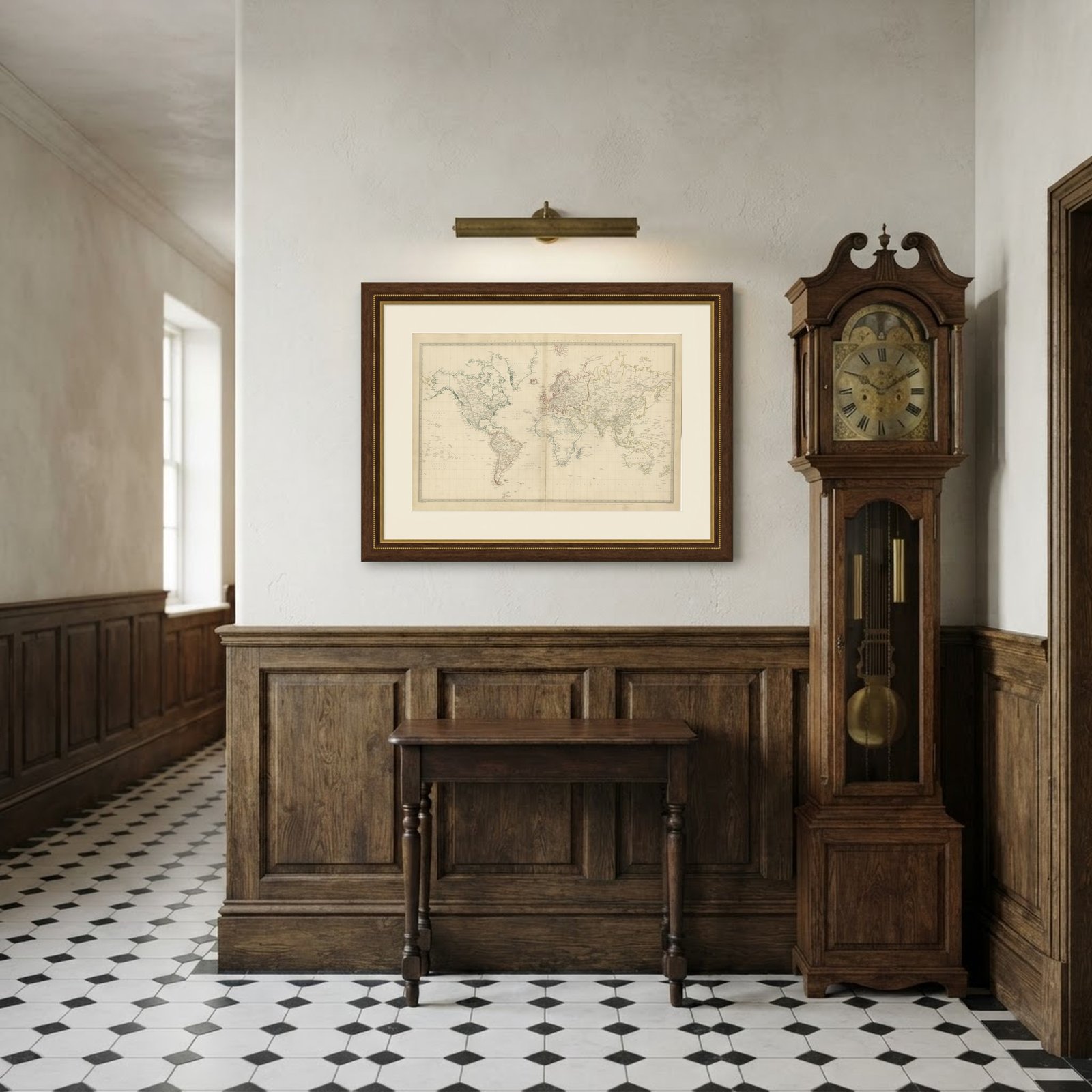 In the room
Interior designers: BarTrade members buy at their trade price. How it works
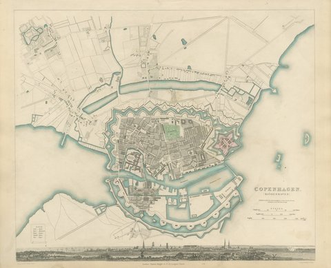
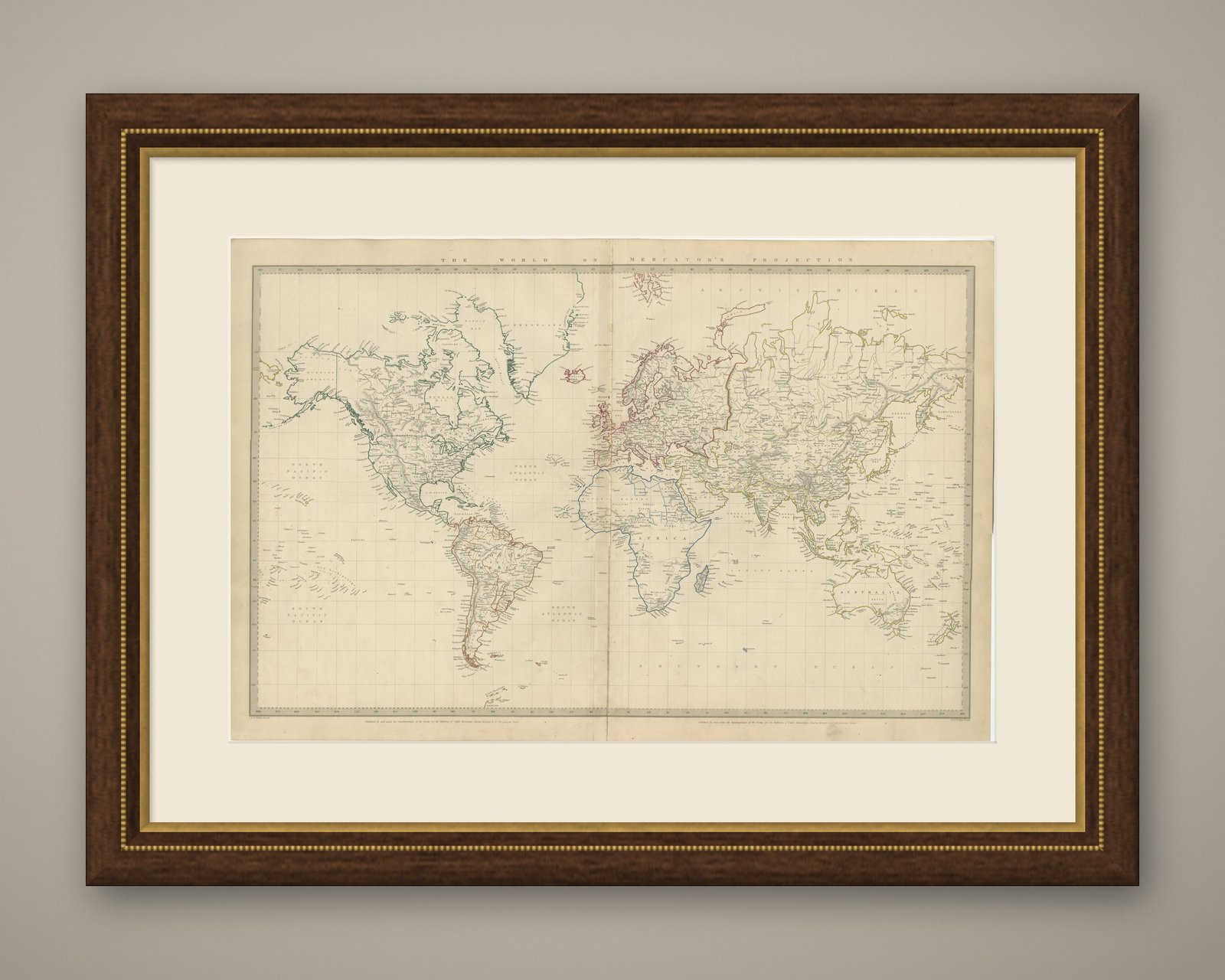
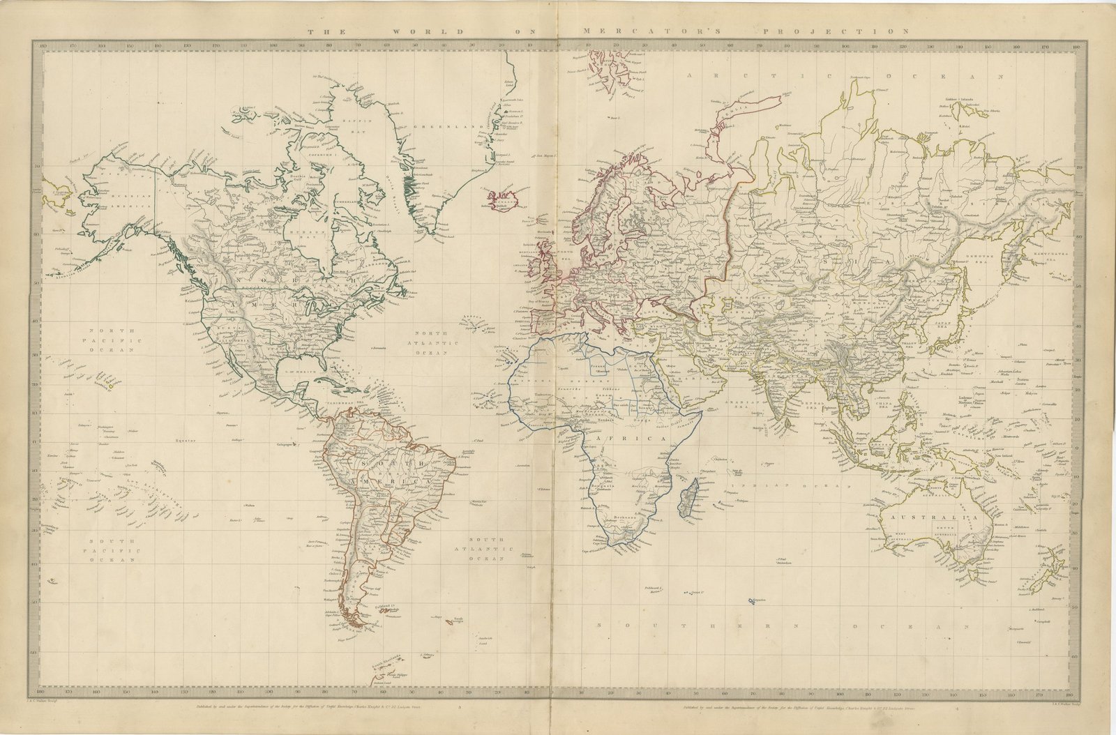
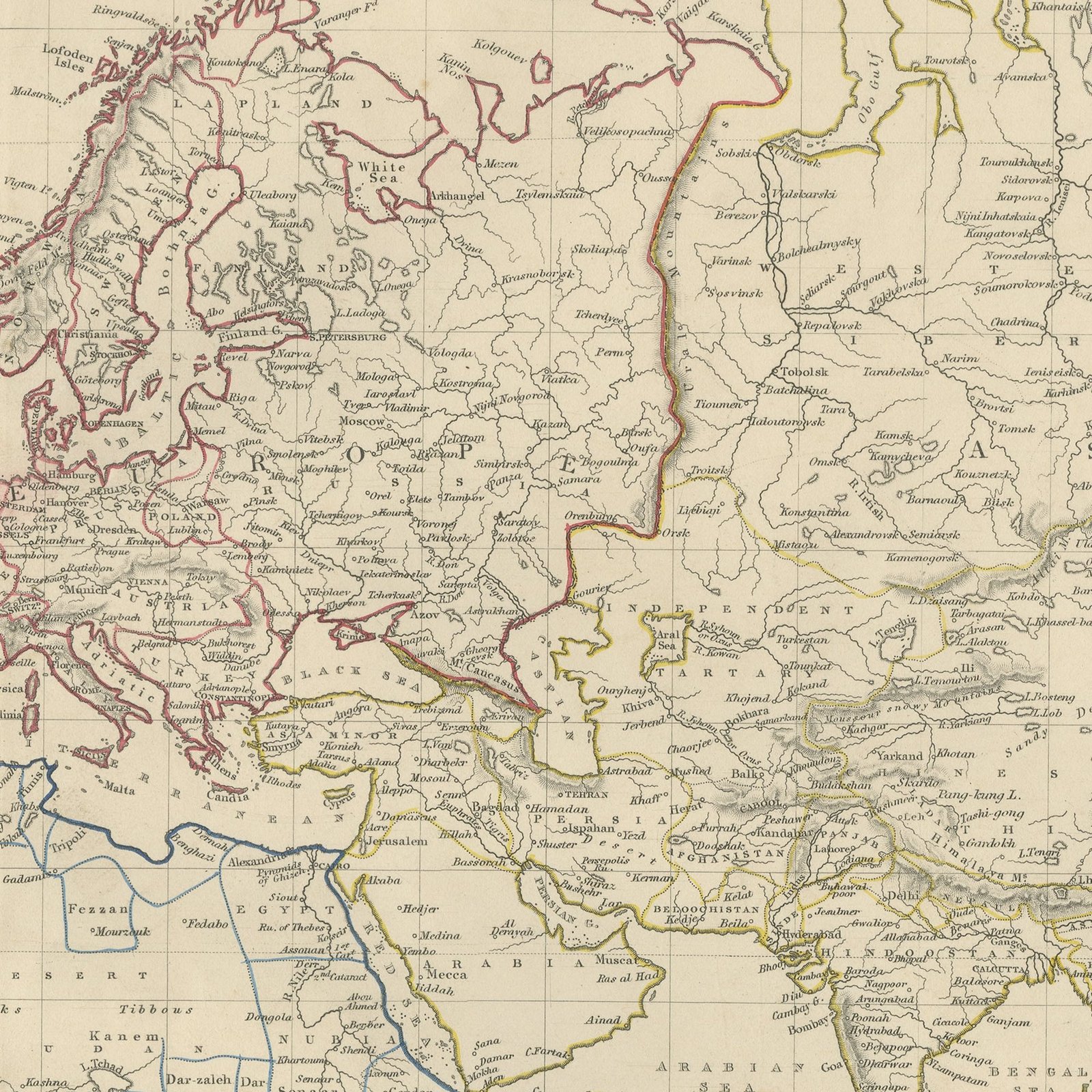
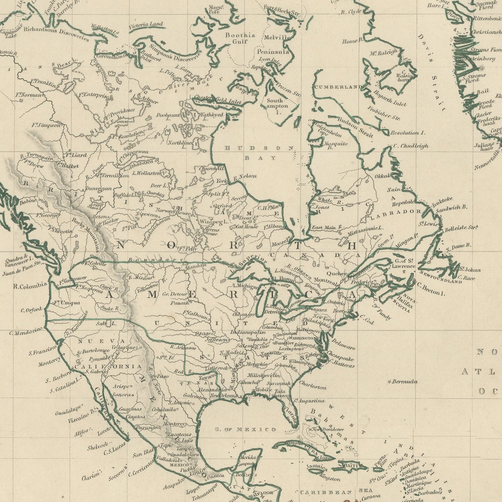
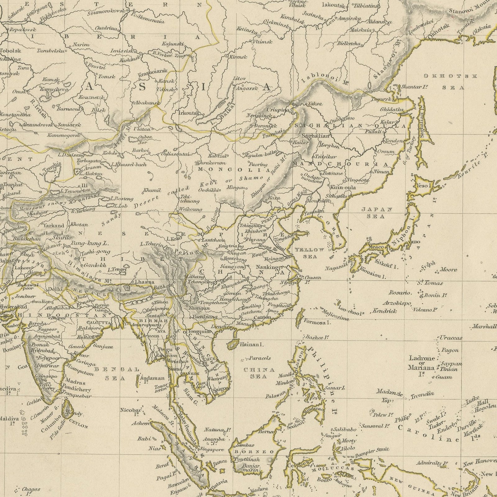
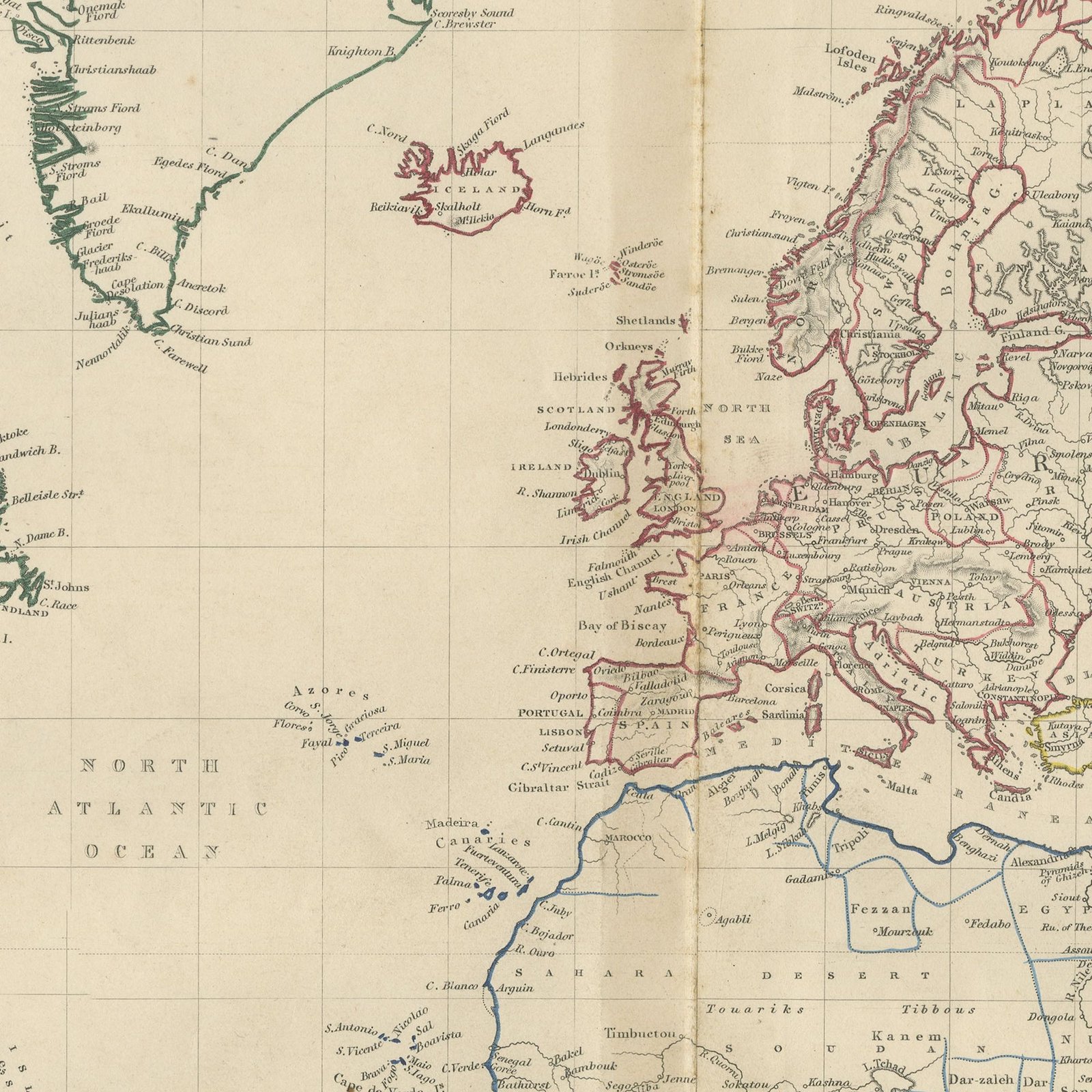
This large antique world map of 1845 is printed across a double page and shows the whole globe on Mercator's projection, running from the Arctic Ocean to the Southern Ocean and from the Pacific coast of America round to the Pacific again. It is the biggest sheet in the volume, measuring sixty six centimeters across. Europe, with its states picked out in red, pink and yellow outline color, sits at the center of the sheet; the Russian empire runs east in a broad yellow band; Africa, India, the East Indies and Australia are colored in green and olive, and the Americas in green and brown down the left. The Arctic coasts show the state of knowledge before the Franklin search expeditions, and the interior of Africa and the center of Australia are left open. Graduated borders carry degrees of latitude and longitude, the engraved hachure gives the great mountain chains, and the imprint and the signature of the engravers John and Charles Walker appear beneath the lower border.
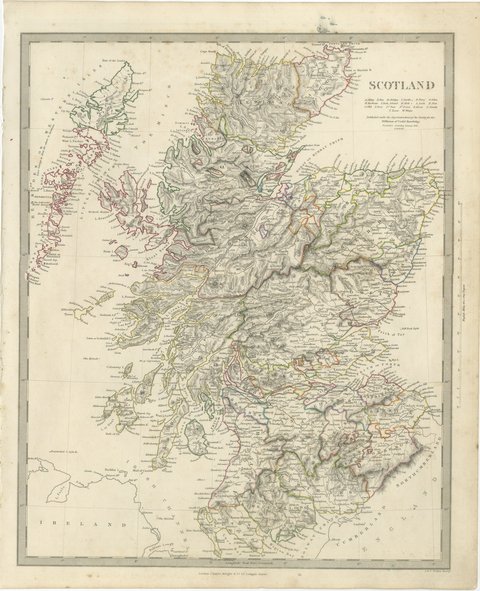
The plate comes from Maps of the Society for the Diffusion of Useful Knowledge, in the new edition corrected to the present time that Charles Knight and Company published at 22 Ludgate Street, London, in 1845, whose first volume covers Europe. The Society was founded in 1826 by Henry Brougham and his circle to publish useful knowledge at a low price. Its maps were issued in parts from 1829, first by Baldwin and Cradock, from 1842 by Chapman and Hall and then by Charles Knight, and the series grew to about two hundred maps. Most of them were engraved on steel by John and Charles Walker, and the outline color was applied by hand.
The plate is signed by J. and C. Walker as engravers. The imprint at the foot names Charles Knight and Company of 22 Ludgate Street, London.
Strong age toning, the paper a warm buff, with scattered brown specks in the margins, a crease at the top right corner, and the engraved border running close to the sheet edge on all four sides.
This is an original antique map, not a modern reproduction. This item is sold unframed.