 The sheet, as you receive it
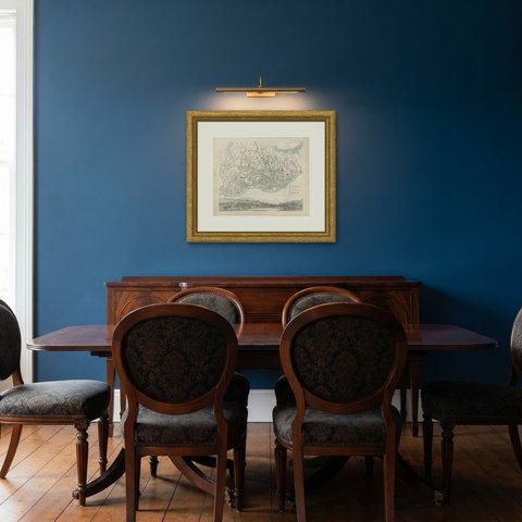
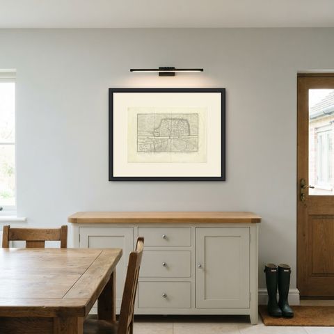
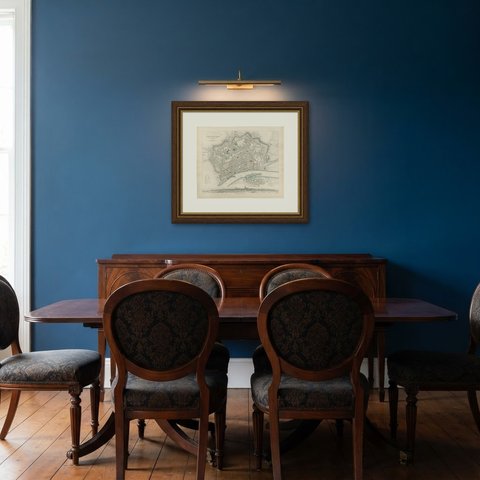
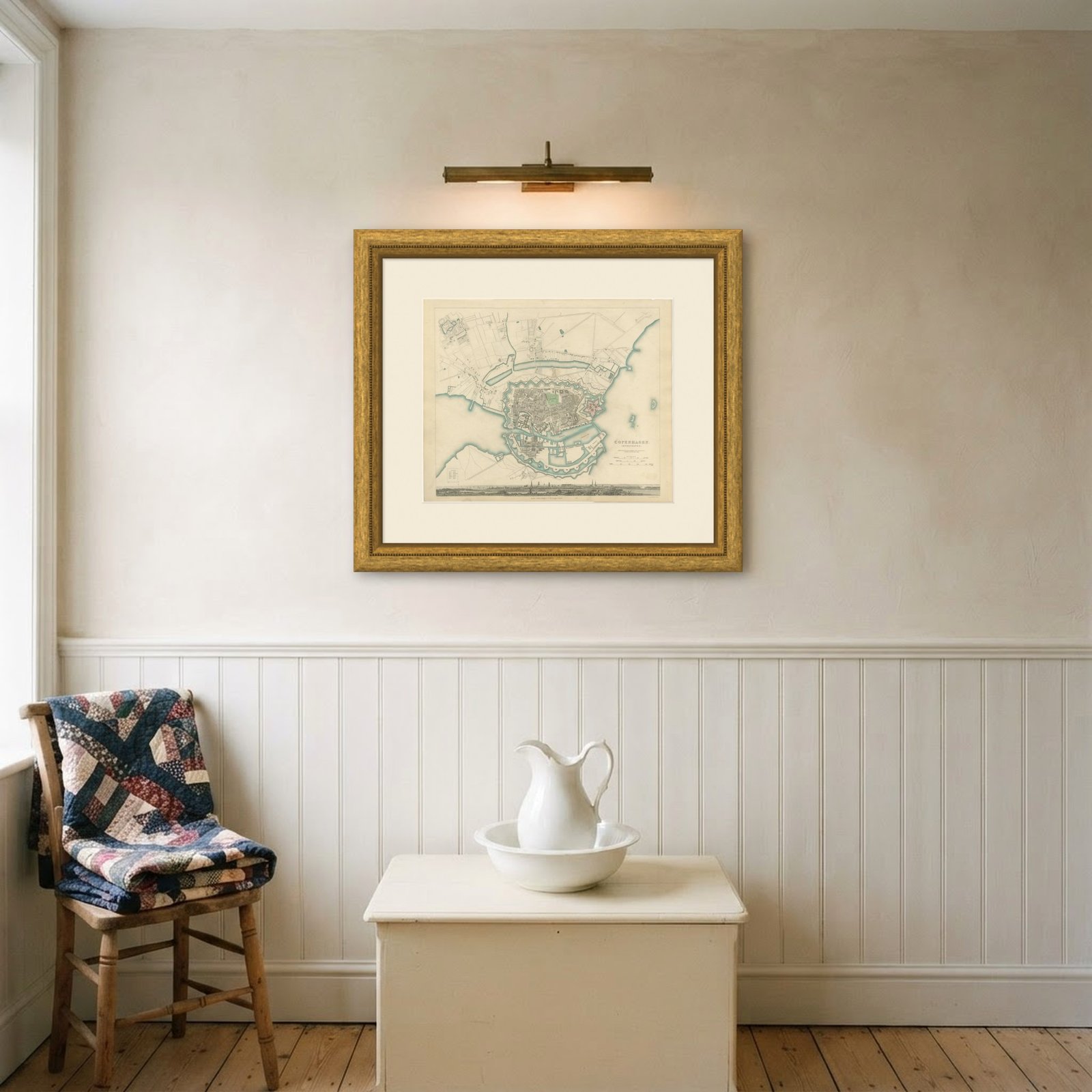
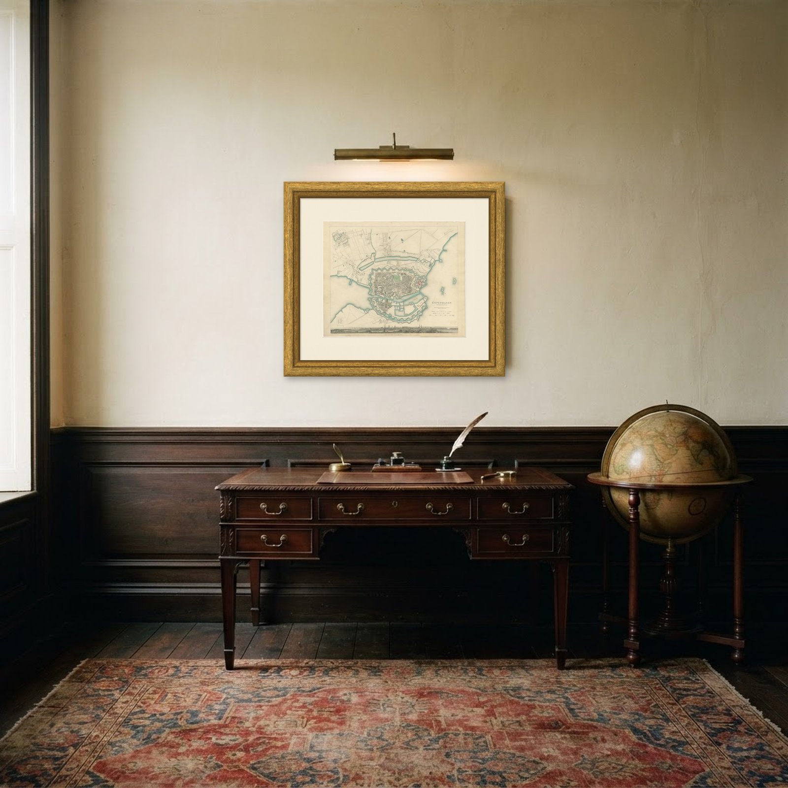 In the room
Interior designers: BarTrade members buy at their trade price. How it works
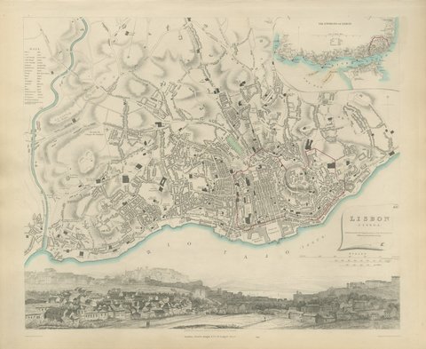
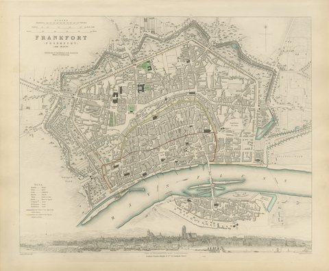
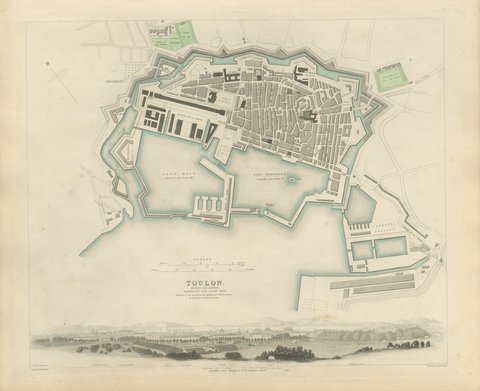
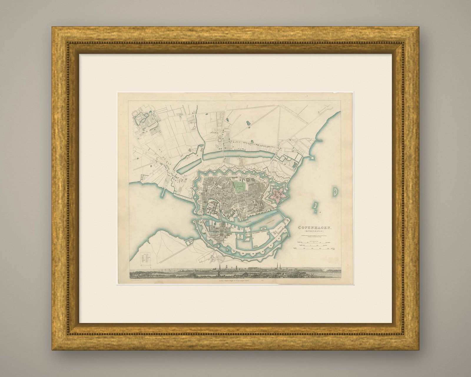
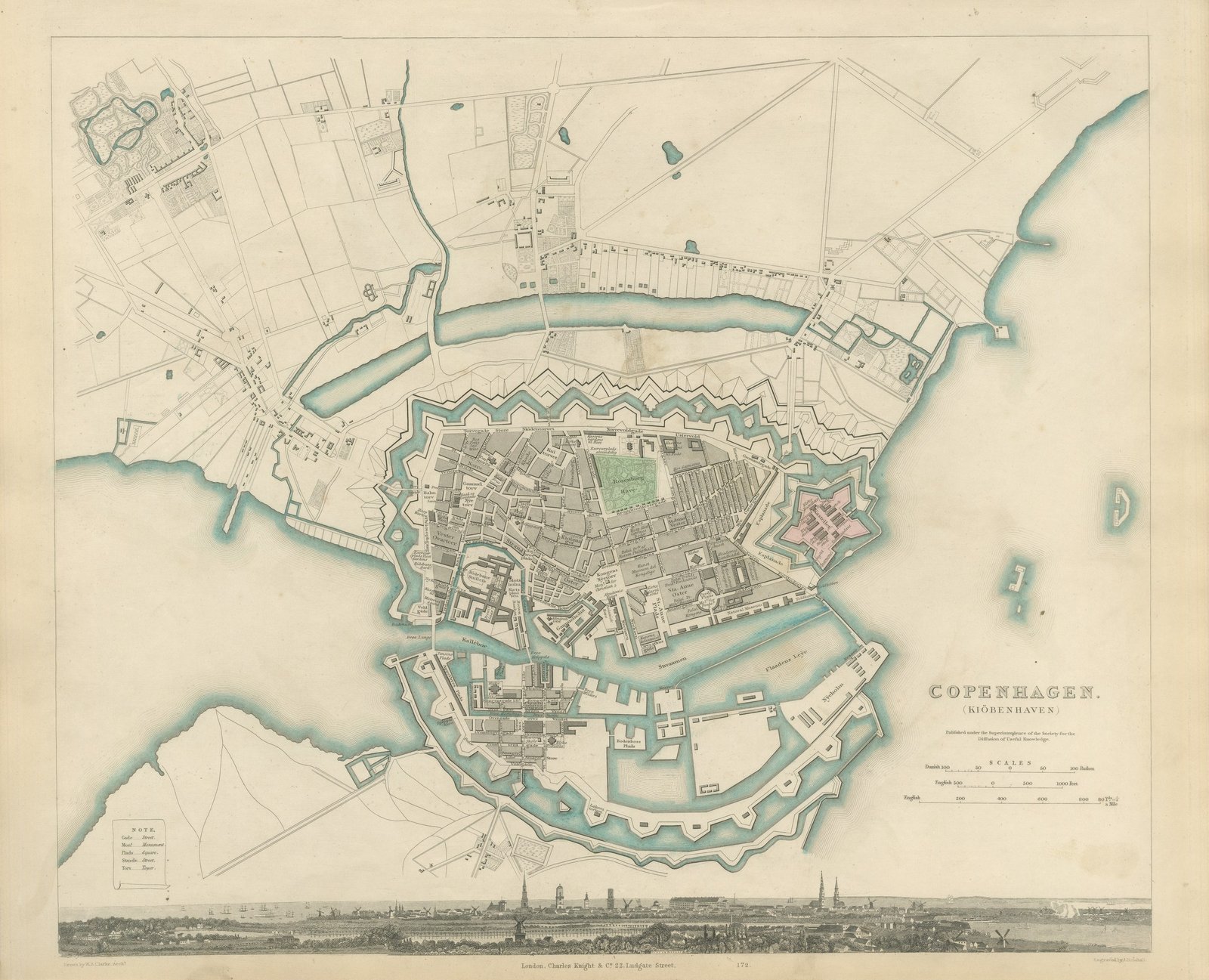
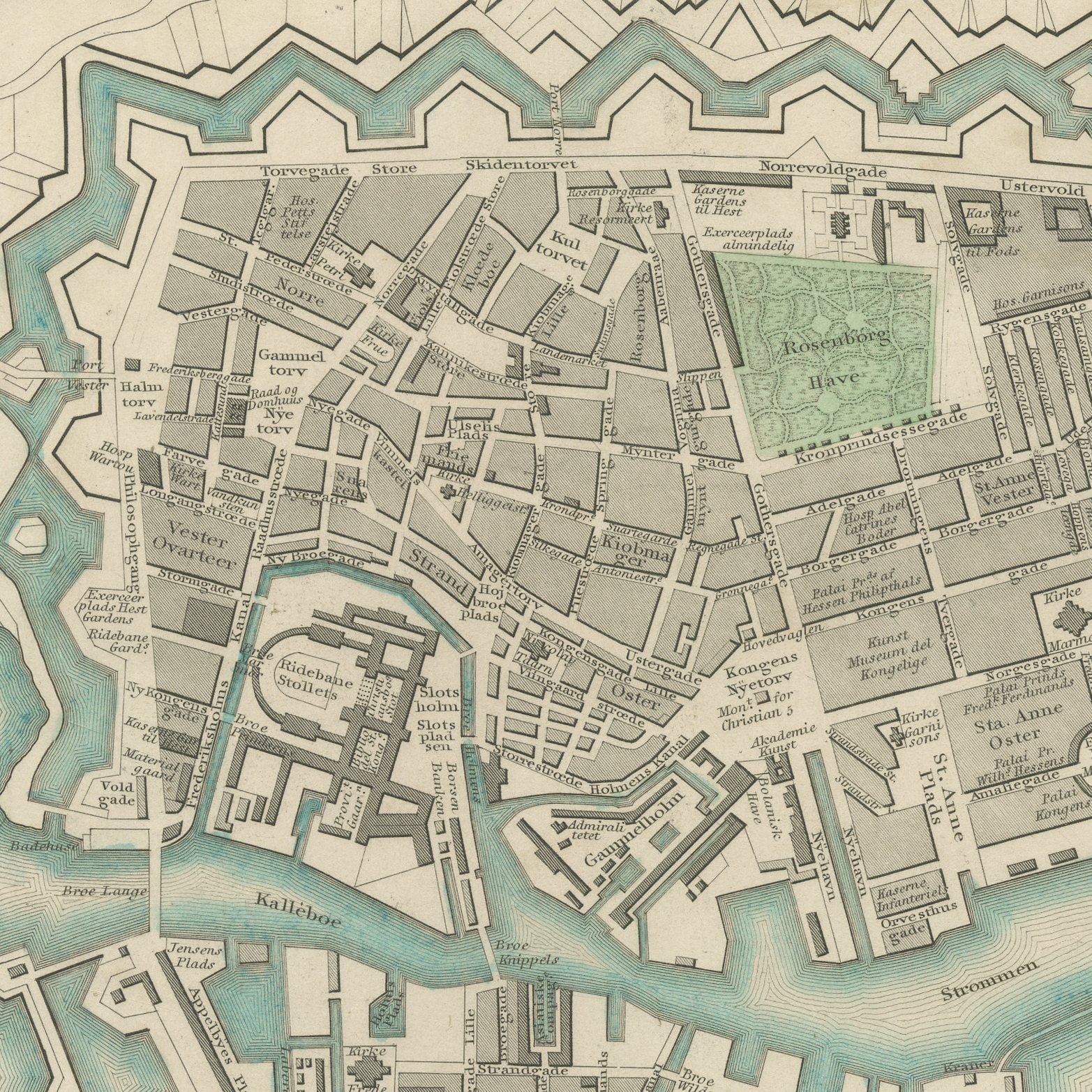
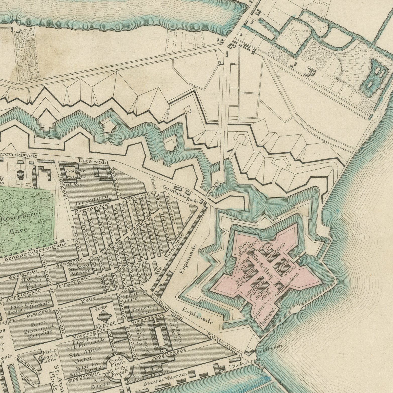
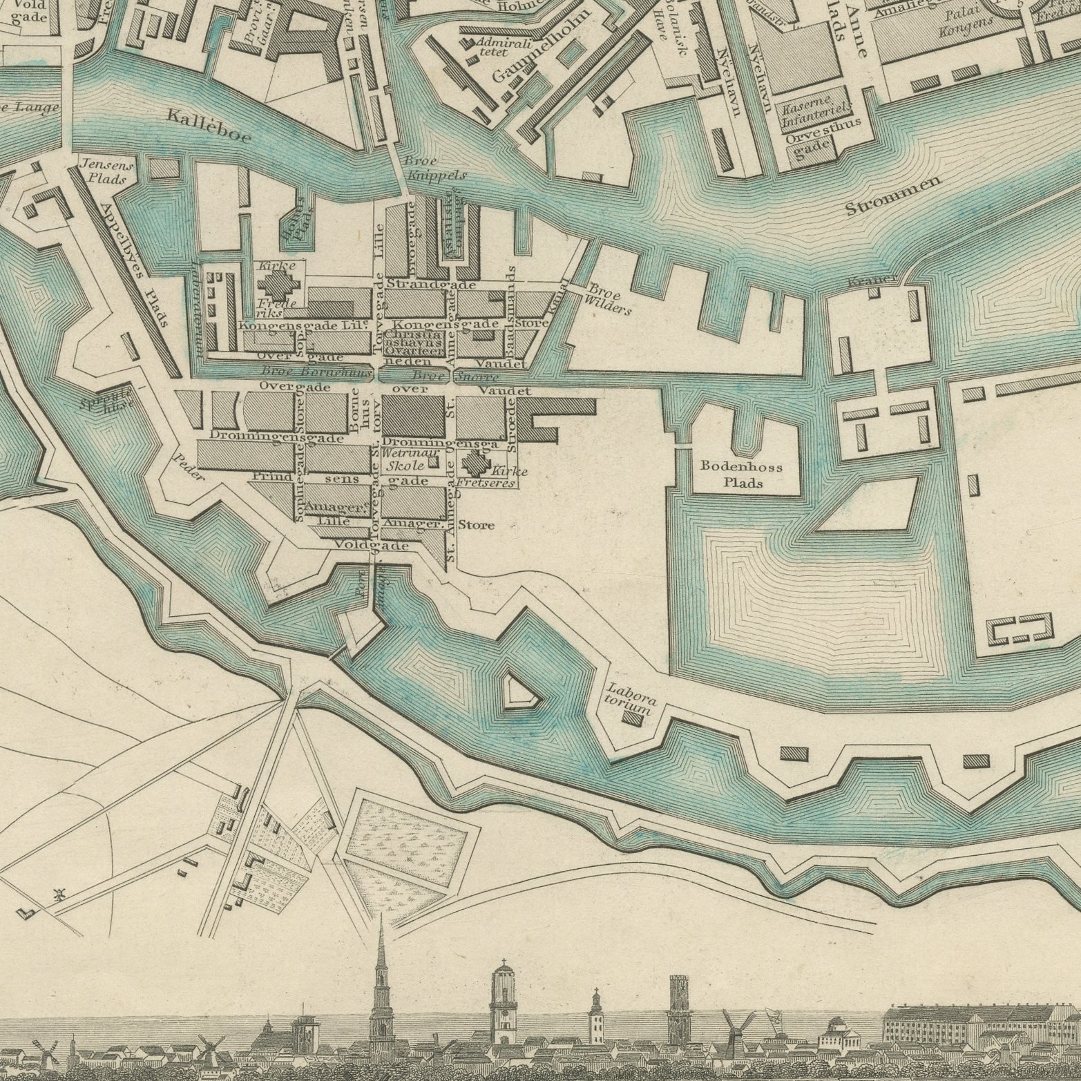
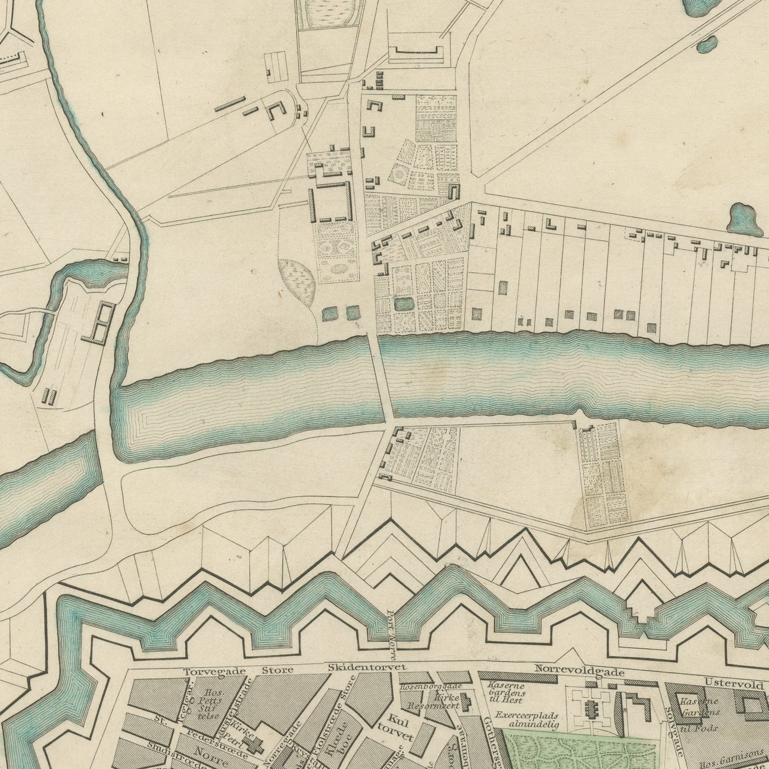
This is an original antique city plan of Copenhagen, steel engraved and published in the atlas of the Society for the Diffusion of Useful Knowledge. The plan shows the ramparts still closing the city, the Kastellet to the north, the naval harbor and Christianshavn across the water, with the royal palaces, the Round Tower and the Exchange marked through the old streets. A long panorama of Copenhagen runs across the lower part of the sheet. The outline and water coloring is original hand color, applied by the publisher before the sheet was bound into the volume.
It is plate number 172 of the third volume of the Society's atlas, published by Charles Knight and Company, 22 Ludgate Street, London, in 1847. Lord Brougham's Society set out to supply accurate maps at a price a clerk could afford, and the steel engraved city plans it produced between 1830 and 1847 remain the best series of town plans of their generation. The plate is lettered as drawn by W. B. Clarke and engraved by J. Henshall.
Copenhagen is shown here inside its fortifications, a few years before the ramparts came down and the city spread into the lakes district, so the plan preserves the compact walled town of the golden age. The panorama along the foot gives it a second, quite different picture of the same city. Framed simply in dark wood or a plain gilt frame it suits a study, a hallway or a dining room, and it is a natural gift for anyone with a tie to the place.
Light uneven toning, browner toward the edges. Handling soiling along the bottom edge. A few small foxing spots in the margin. All four corners complete.
This is an original antique map, not a modern reproduction. This item is sold unframed.