 The sheet, as you receive it
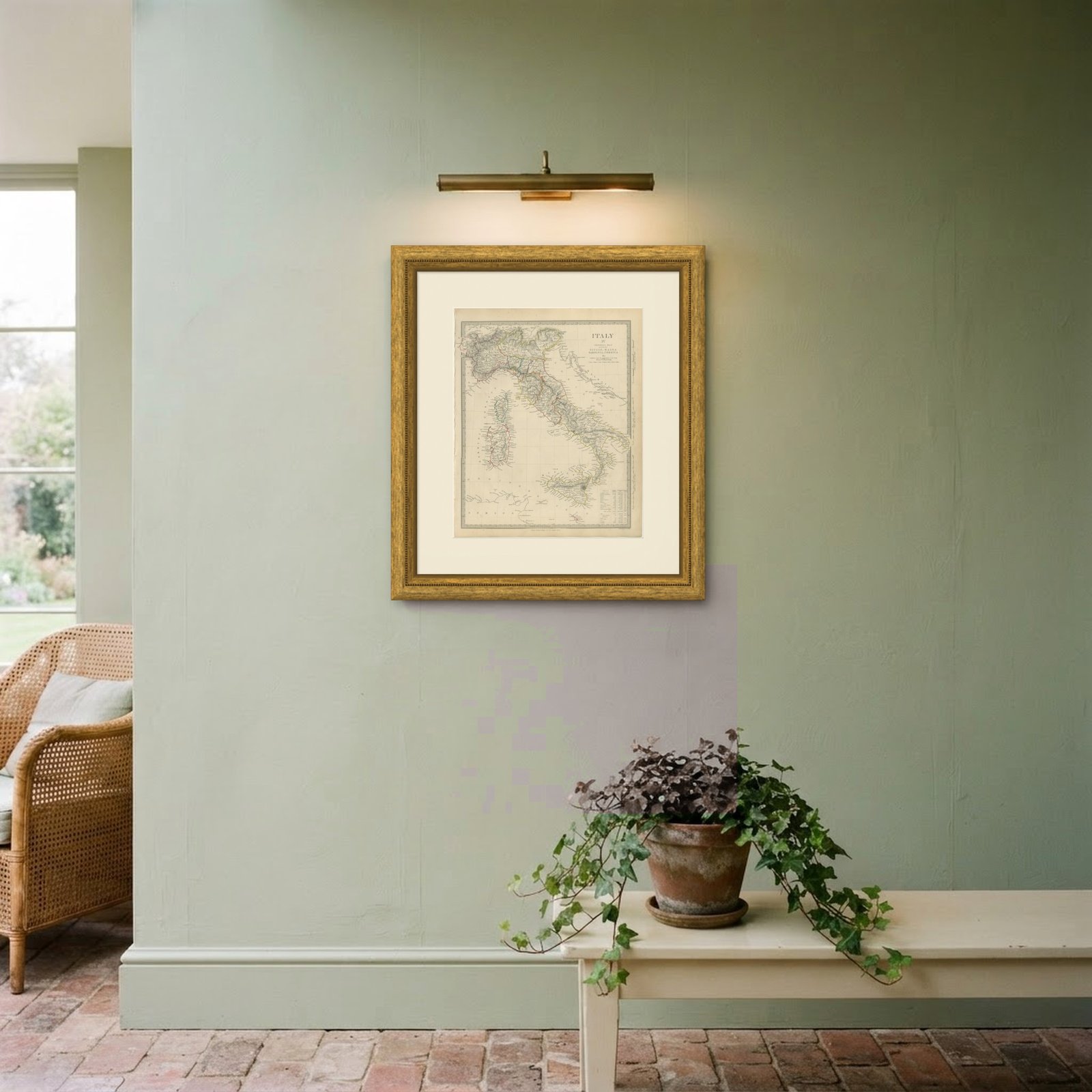
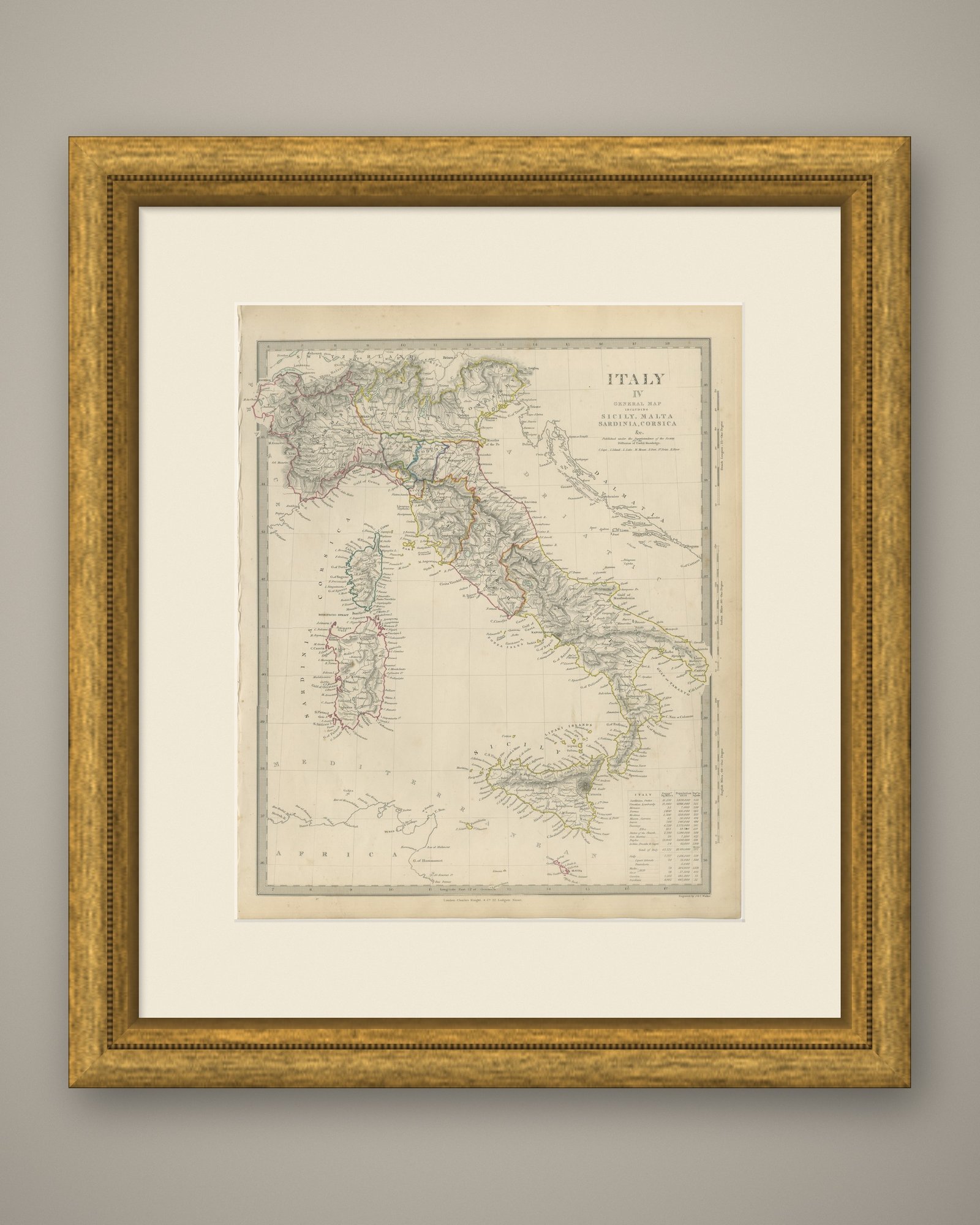
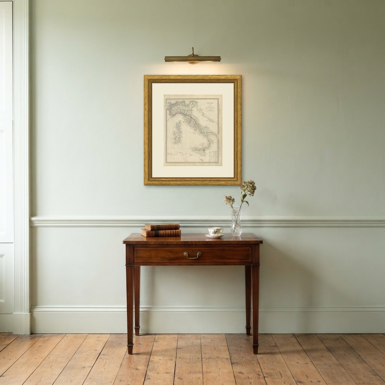 In the room
Interior designers: BarTrade members buy at their trade price. How it works
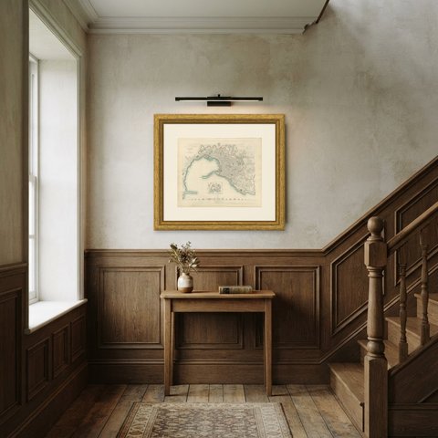
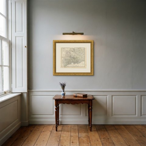
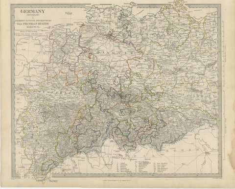
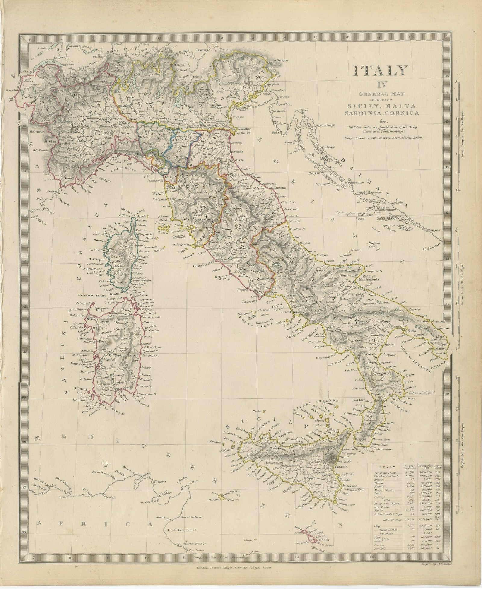
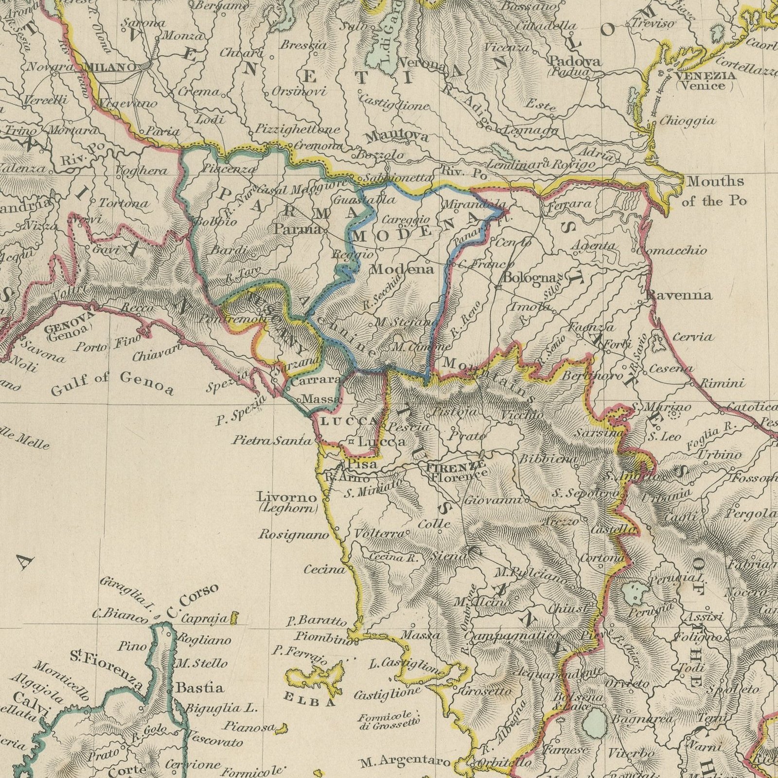
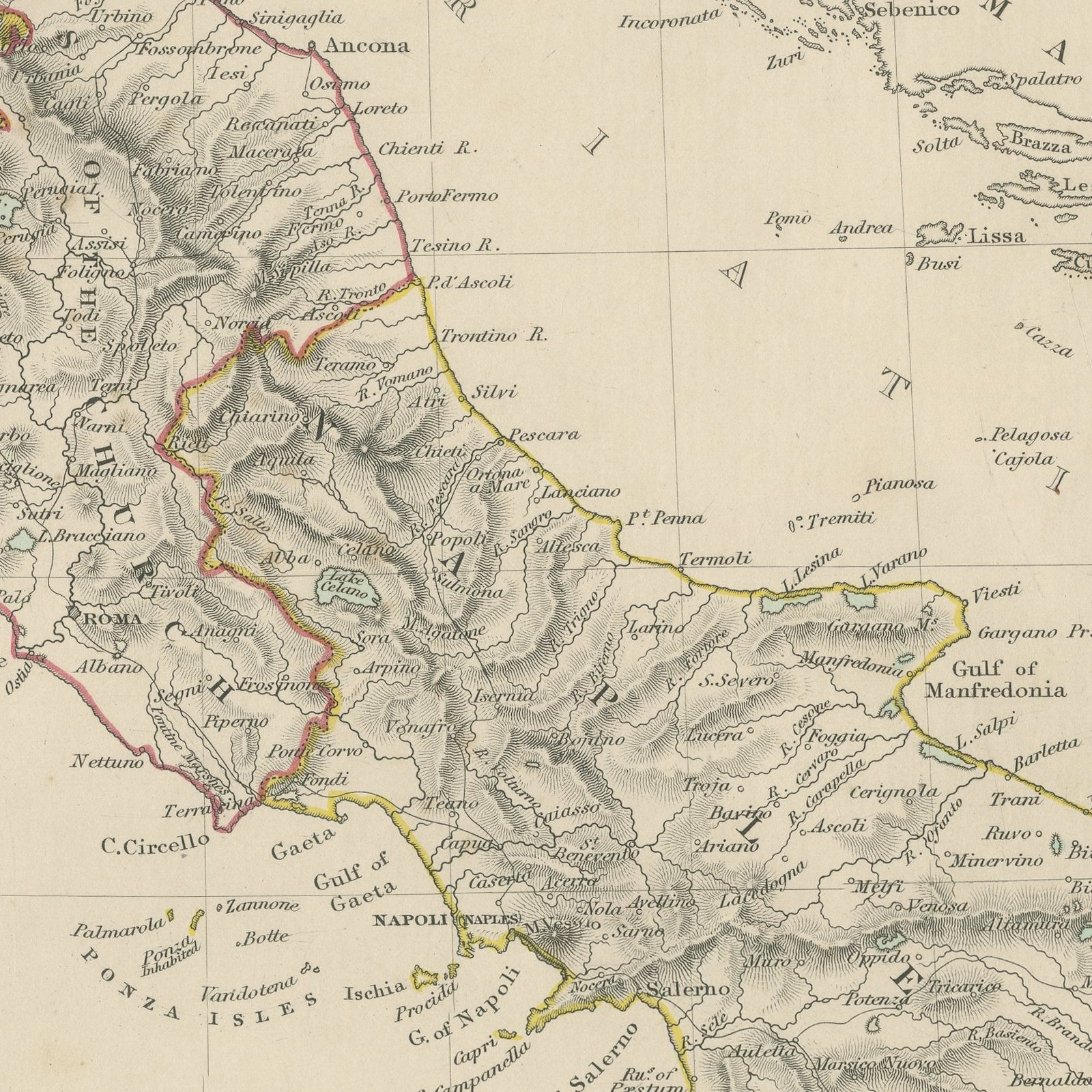
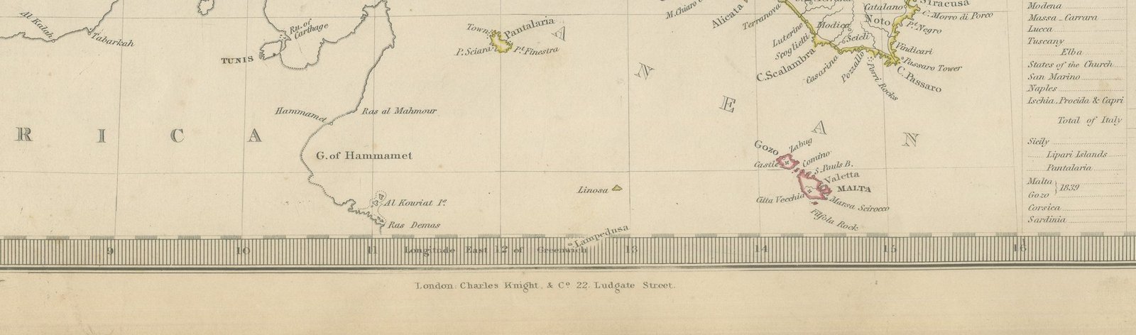
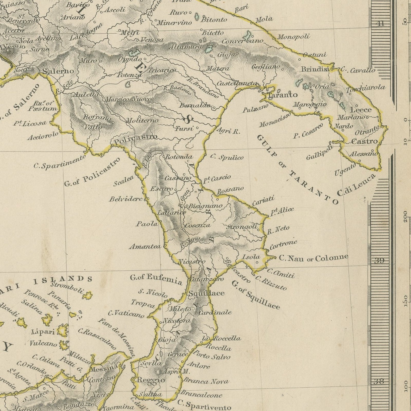
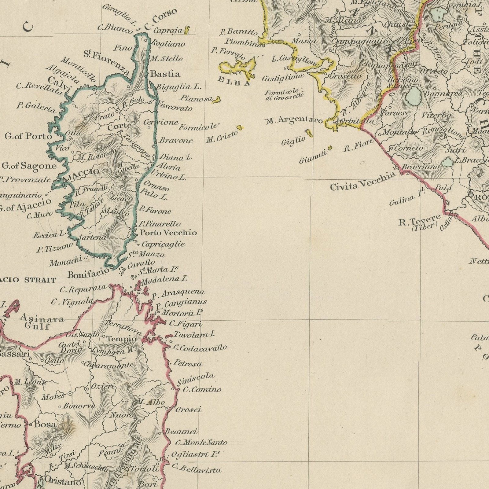
This antique general map of Italy, published in 1845, carries the whole peninsula and its islands on one upright sheet, from the Alps and the Po valley down to Sicily, Malta and the coast of Africa. Sardinia and Corsica fill the left of the sheet, the Lipari Islands and Pantellaria lie off Sicily, and the Dalmatian coast is engraved across the Adriatic. The states of pre unification Italy are each bounded in hand applied color: the Sardinian States in the north west, Venetian Lombardy under Austria, the duchies of Parma, Modena and Lucca, the Grand Duchy of Tuscany, the States of the Church across the center, the republic of San Marino and the Kingdom of Naples in the south. An engraved table at the lower right gives the area in square miles and the population of every one of them with a total for Italy, and separate figures for Sicily, Malta, Corsica and Sardinia.
The plate comes from Maps of the Society for the Diffusion of Useful Knowledge, in the new edition corrected to the present time that Charles Knight and Company published at 22 Ludgate Street, London, in 1845, whose first volume covers Europe. The Society was founded in 1826 by Henry Brougham and his circle to publish useful knowledge at a low price. Its maps were issued in parts from 1829, first by Baldwin and Cradock, from 1842 by Chapman and Hall and then by Charles Knight, and the series grew to about two hundred maps. Most of them were engraved on steel by John and Charles Walker, and the outline color was applied by hand.
The plate is signed by J. and C. Walker as engravers. The imprint at the foot names Charles Knight and Company of 22 Ludgate Street, London.
Strong age toning, the paper a warm buff, with the paper darker along the right and bottom edges, scattered foxing in the margins, one or two spots larger than the rest and stains in the margins.
This is an original antique map, not a modern reproduction. This item is sold unframed.