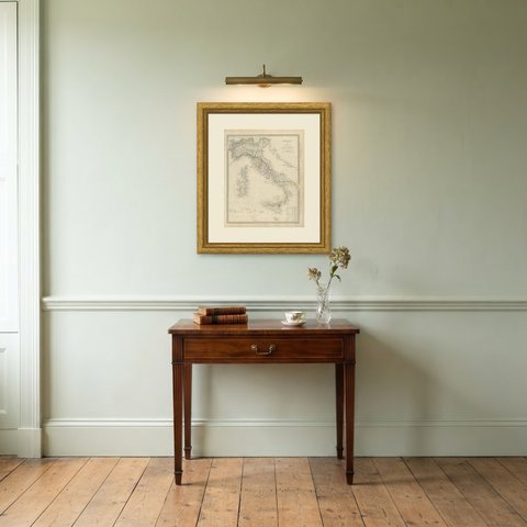
 The sheet, as you receive it
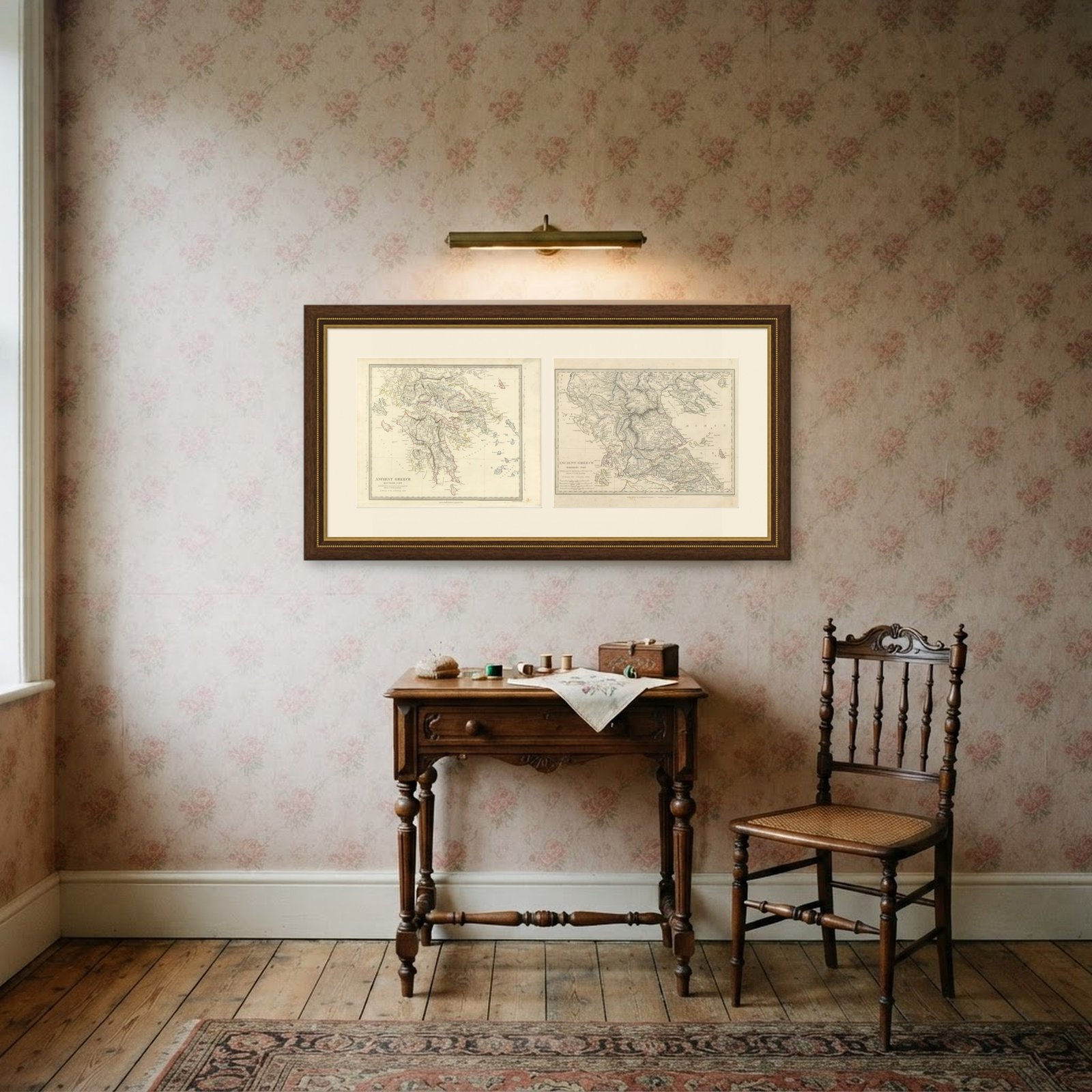 In the room 1
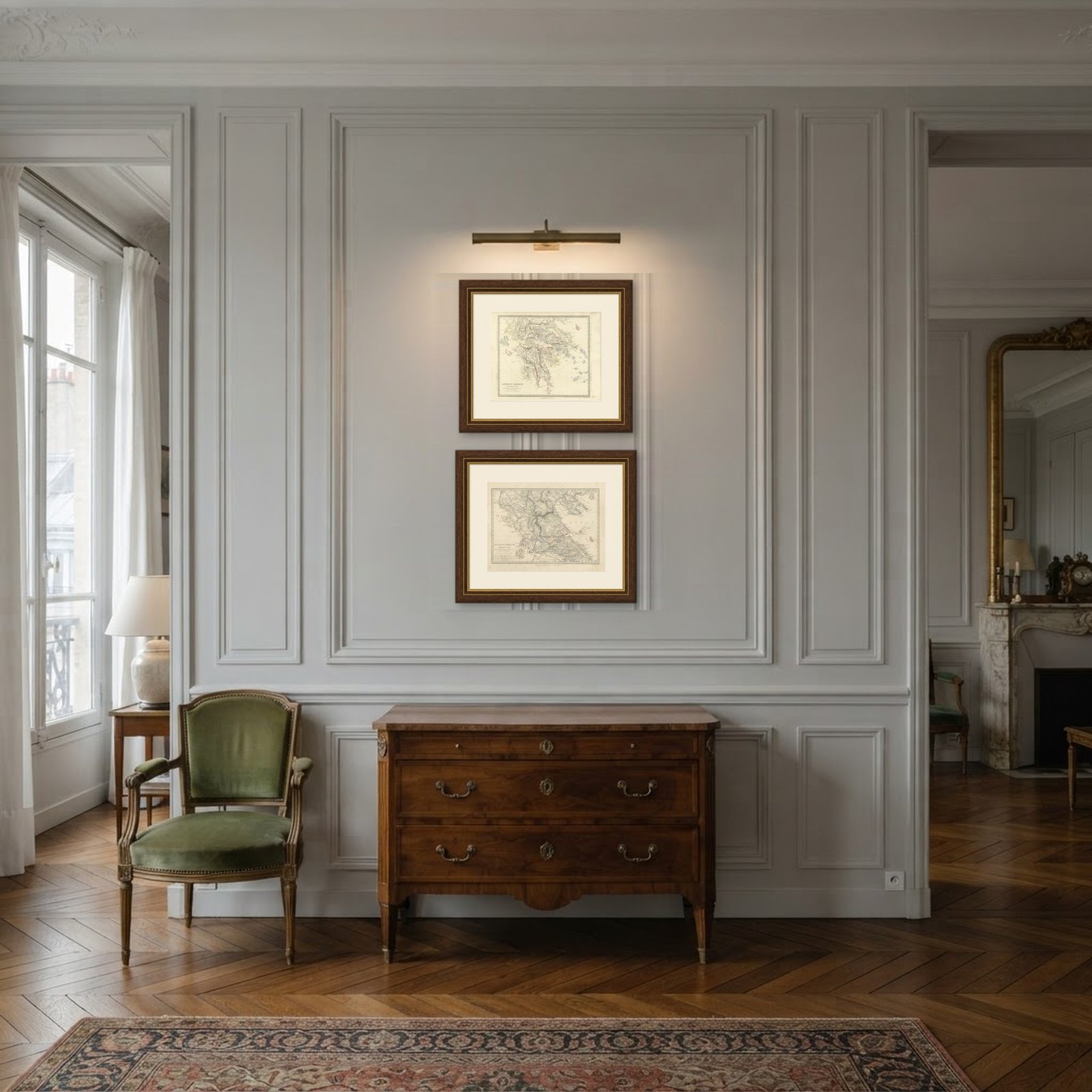
Interior designers: BarTrade members buy at their trade price. How it works
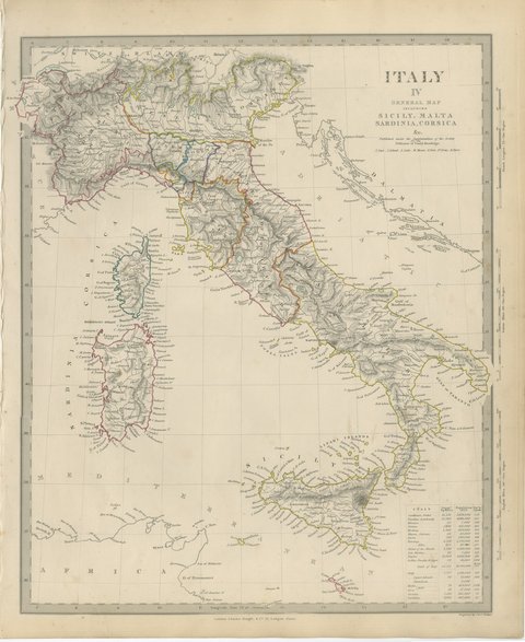
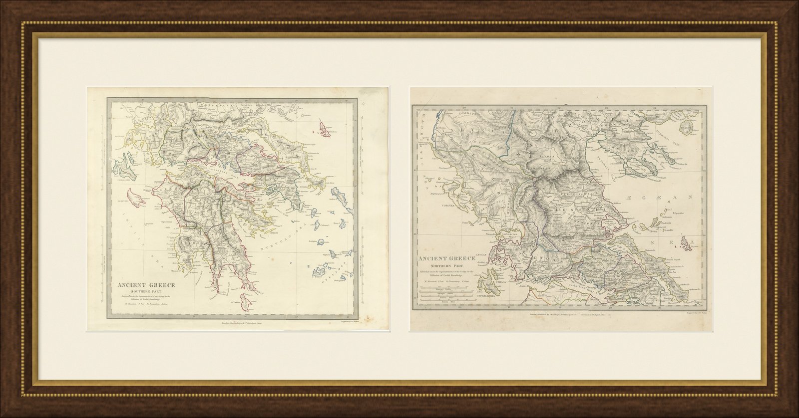
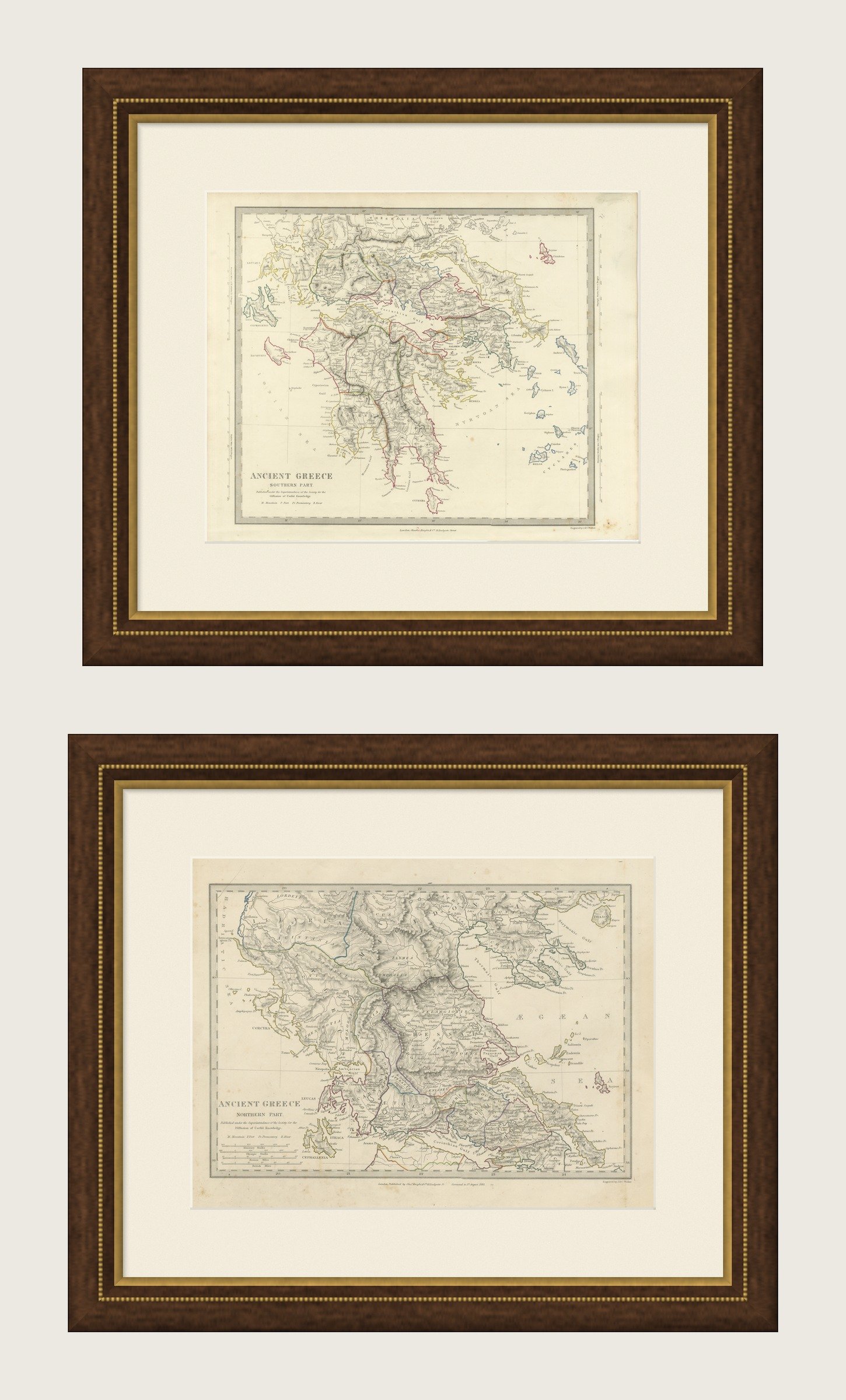
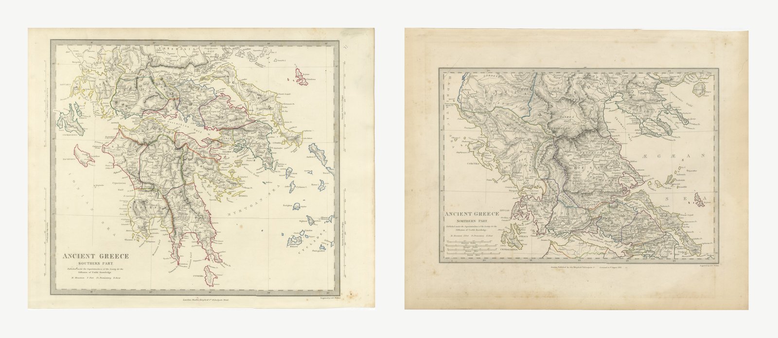
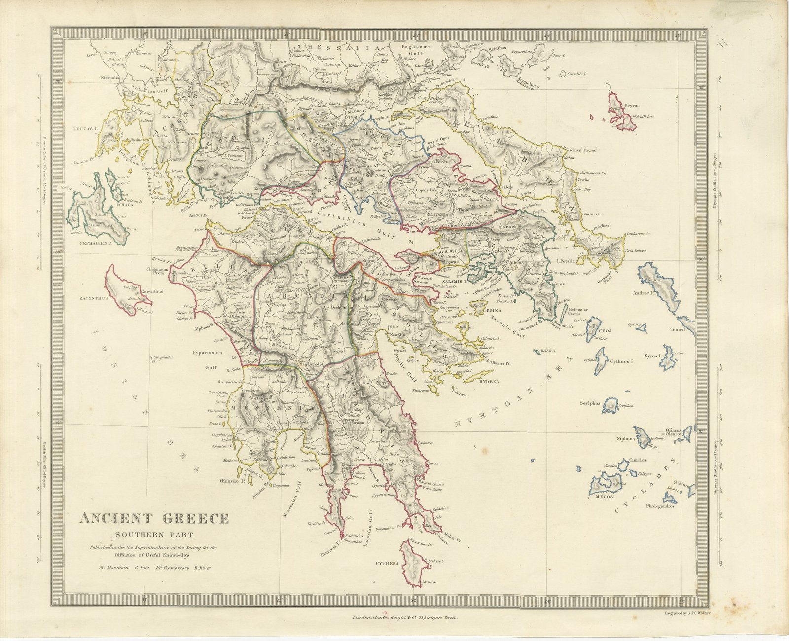
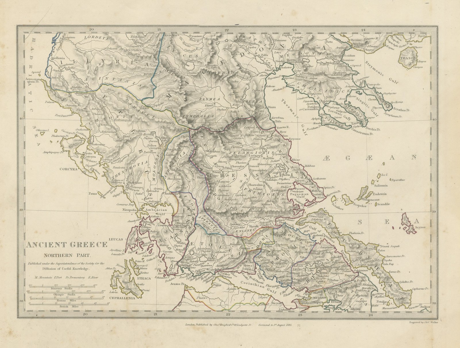
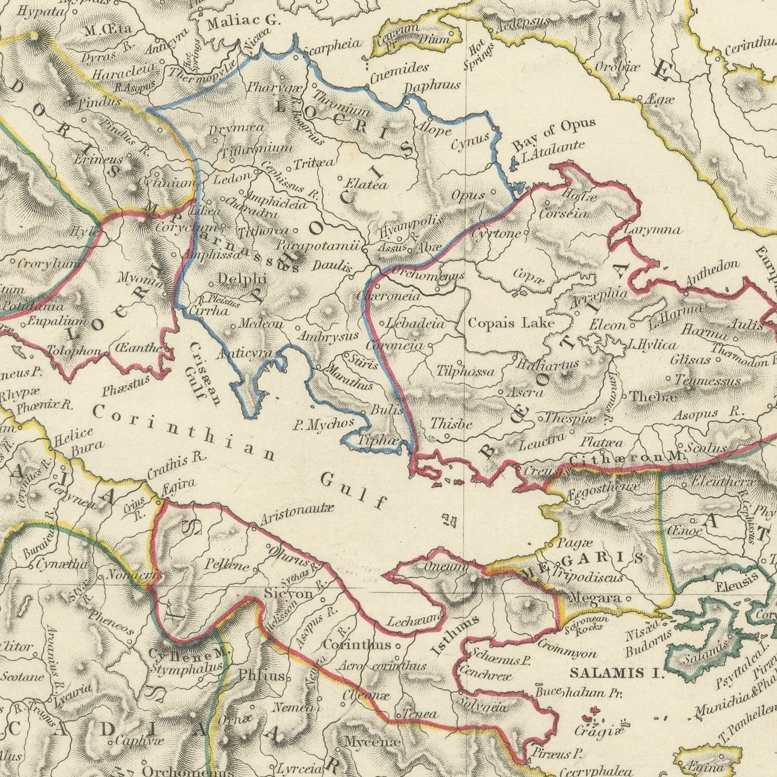
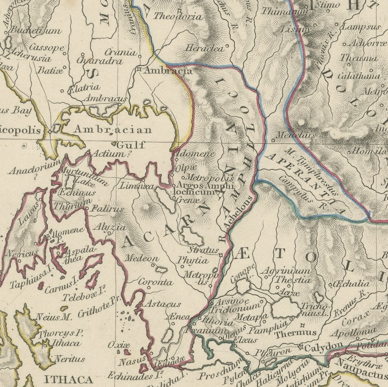
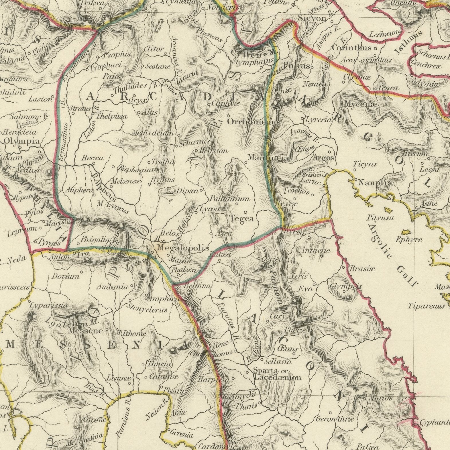
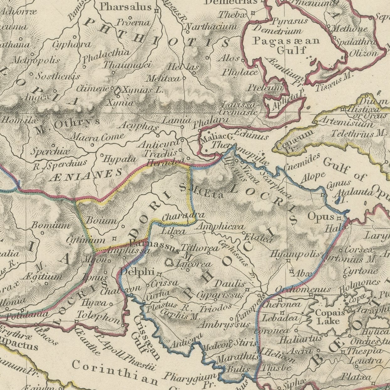
This is an original antique map of ancient Greece on the two sheets on which the Society for the Diffusion of Useful Knowledge printed it in 1845, offered together as one set. The southern sheet carries everything from Thessalia down to Cape Malea, with Attica and Athenae at its center, Megaris, Boeotia, Phocis and Locris around them, and the Peloponnesus divided into Achaia, Elis, Arcadia, Argolis, Messenia and Laconia with Sparta, Corinthus, Olympia, Argos, Mycenae and Pylos marked; Euboea, Salamis, Aegina and the western Cyclades lie in the eastern sea and Leucas, Ithaca, Cephallenia, Zacynthus and Cythera down the western edge. The northern sheet, corrected to the first of August 1845, runs from the Ambracian Gulf and Corcyra up to Macedonia, Chalcidice and Thasos, with Thessalia and the plain of the Peneus at its center, Mount Olympus on its northern edge, Epirus down the Adriatic side with Ambracia and Nicopolis, and the Thermaic, Toronaic, Singitic and Strymonic gulfs cut into the Aegean coast. Both sheets give scales in Olympic stadia, Roman miles and itinerary stadia.
The sheets come from Maps of the Society for the Diffusion of Useful Knowledge, in the new edition corrected to the present time that Charles Knight and Company published at 22 Ludgate Street, London, in 1845, whose first volume covers Europe. The Society was founded in 1826 by Henry Brougham and his circle to publish useful knowledge at a low price. Its maps were issued in parts from 1829, first by Baldwin and Cradock, from 1842 by Chapman and Hall and then by Charles Knight, and the series grew to about two hundred maps. Most of them were engraved on steel by John and Charles Walker, and the outline color was applied by hand.
The sheets of this set belong to one map and are sold together.
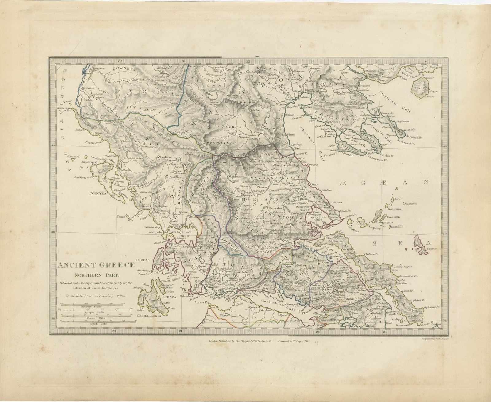
Two sheets, both age toned. Plate 73 the most toned of them. Foxing in the margins of all of them. Handling wear to the corners of all of them.
The set is two original sheets sold together, never split. These are original antique maps, not modern reproductions. This item is sold unframed.