 The sheet, as you receive it
 In the room
Interior designers: BarTrade members buy at their trade price. How it works
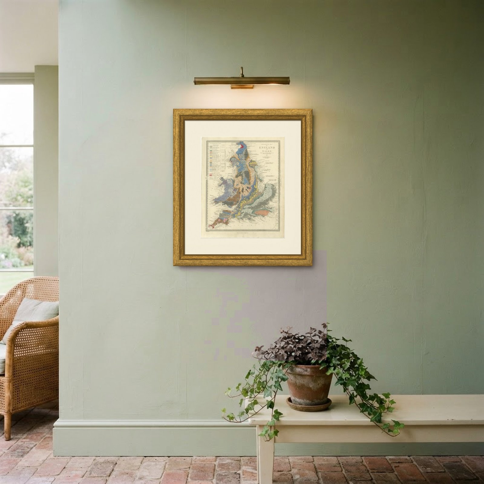
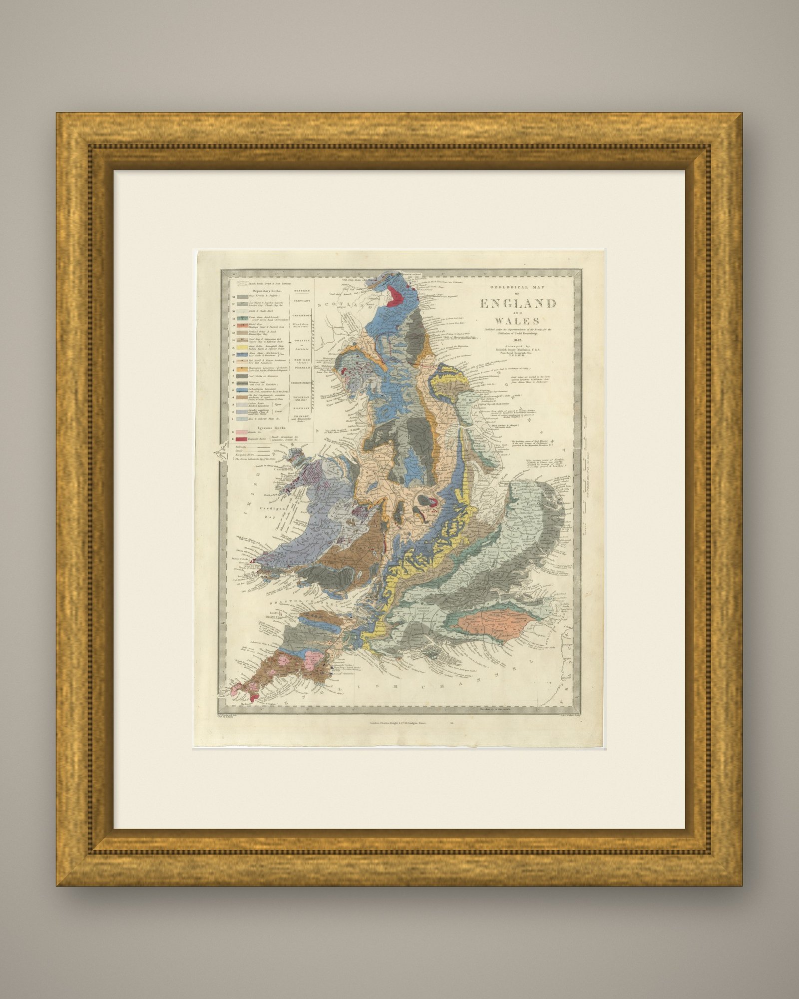
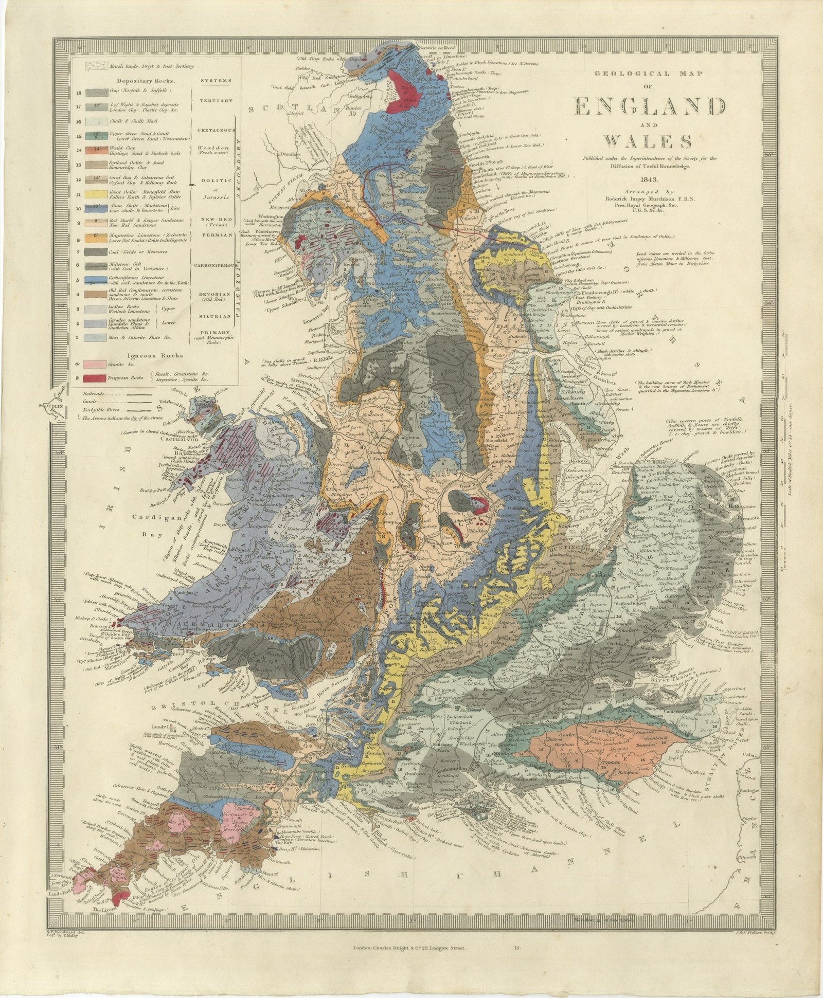
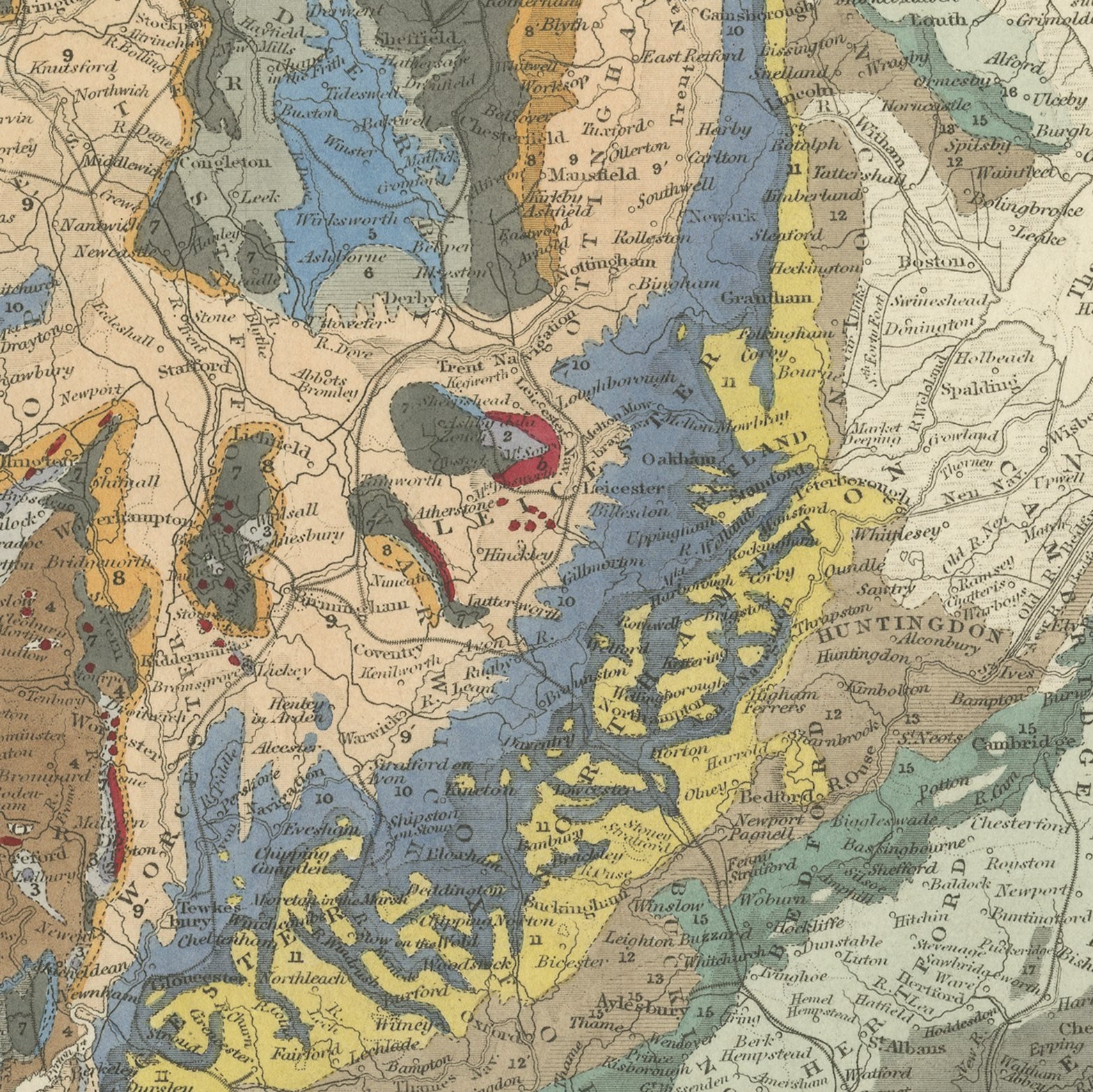
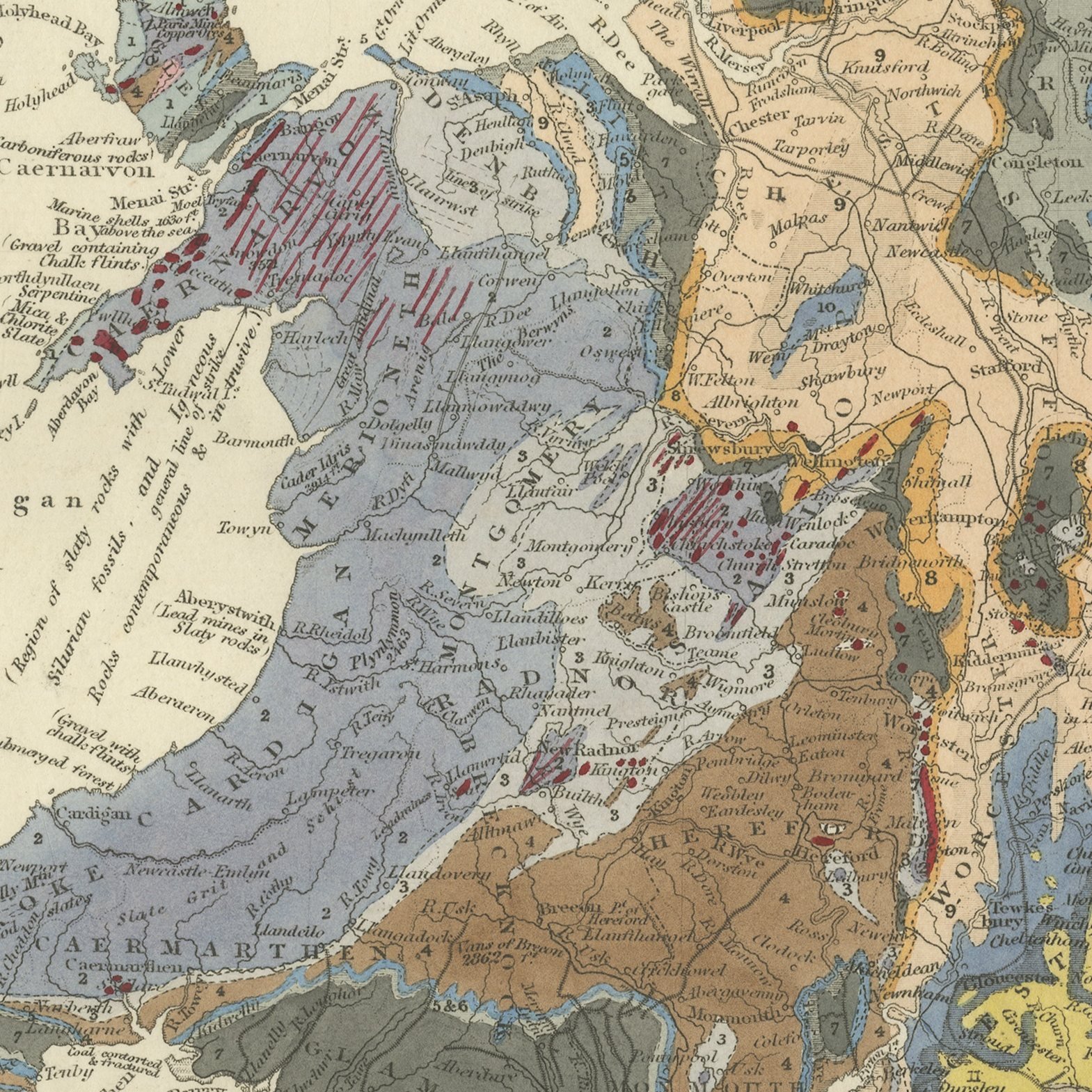
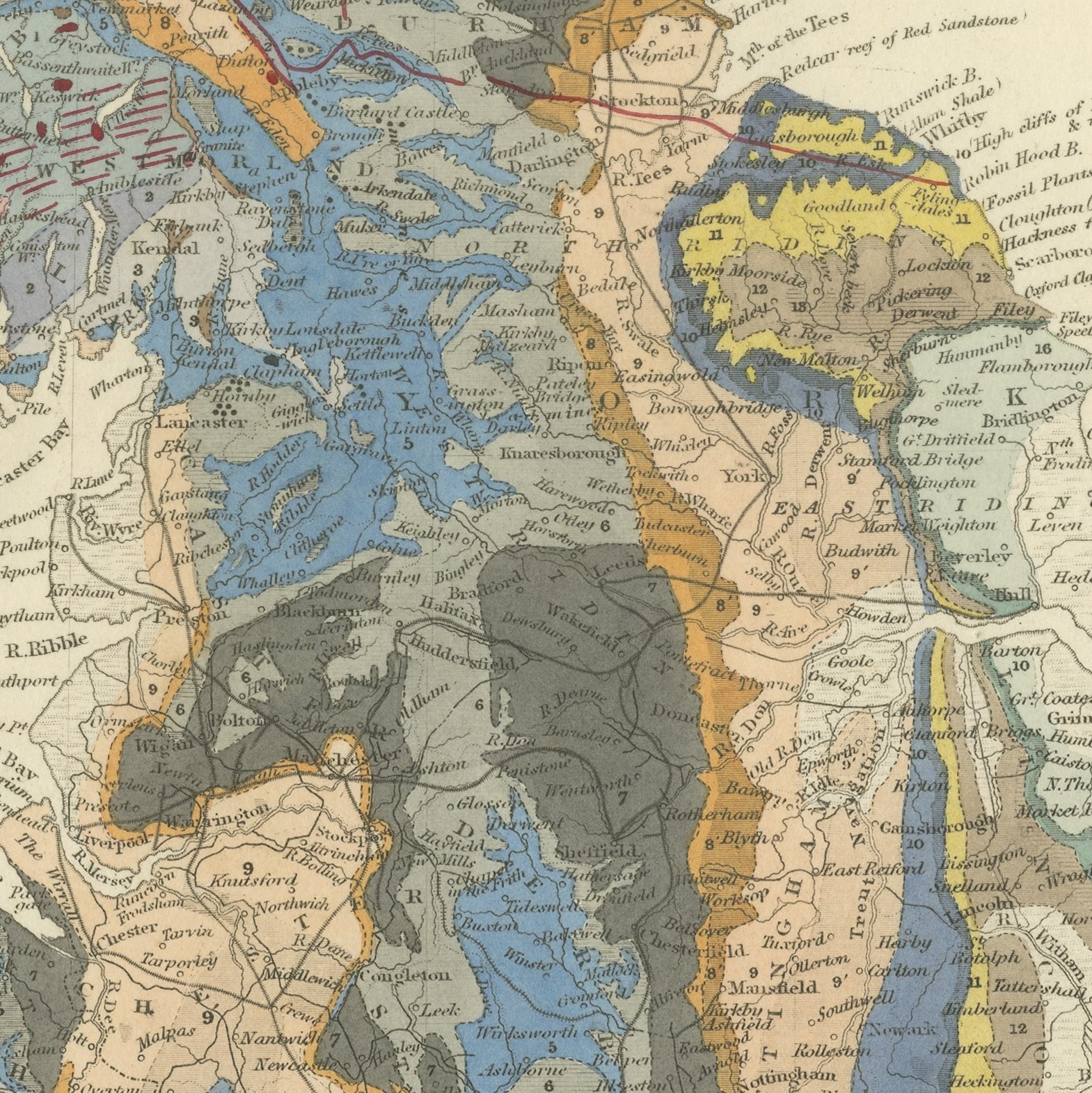
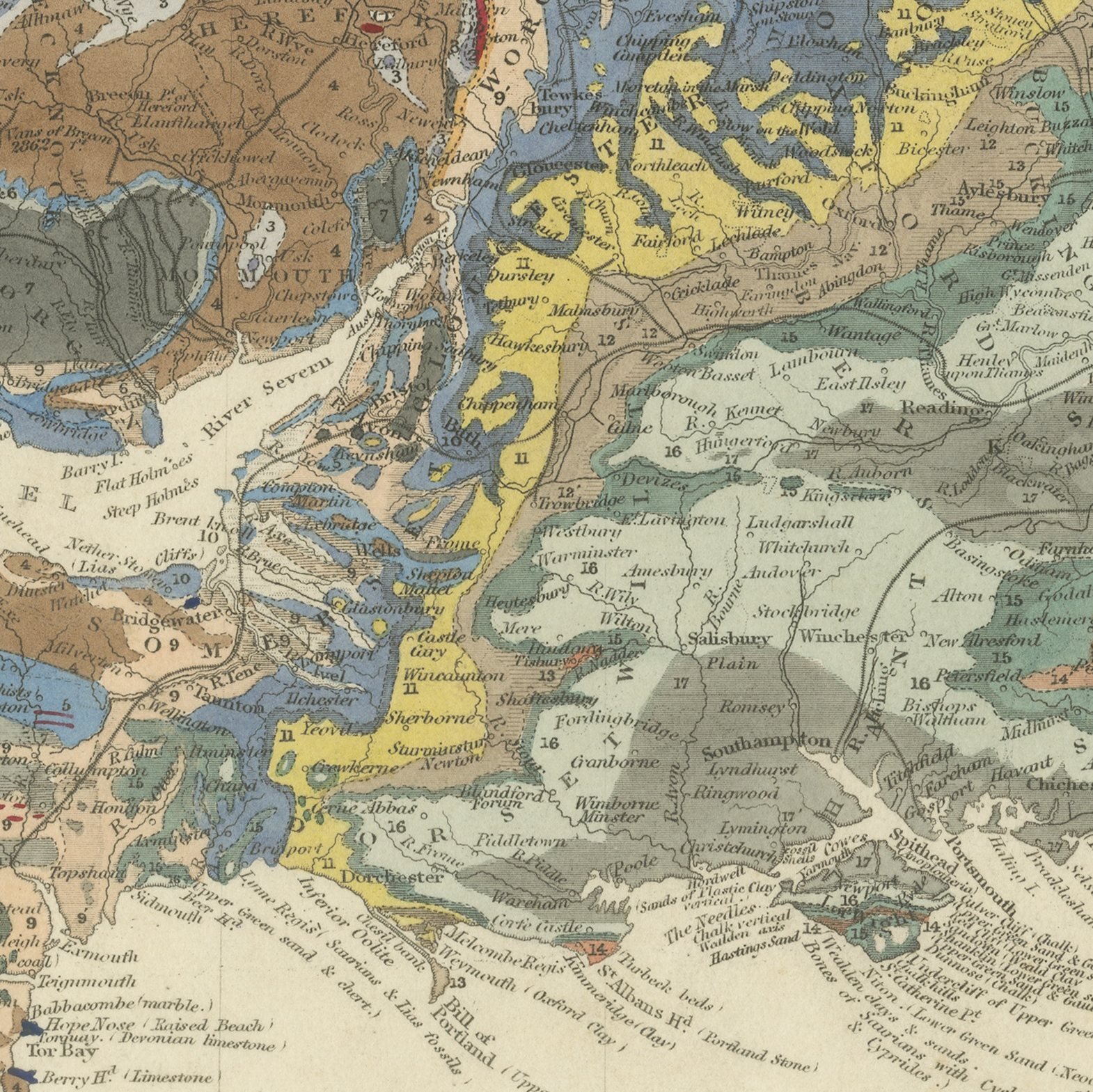
This hand colored geological map of England and Wales, dated 1843 on the sheet, sets out the rocks of the country in nineteen bands of color from the recent marsh lands, drift and peat of the top of the sequence down through the Tertiary, Cretaceous, Wealden, Oolitic, New Red, Permian, Carboniferous, Devonian and Silurian systems to the primary and metamorphic rocks at the base, with granitic and trappean igneous rocks shown separately in crimson and pink. The whole of England and Wales is washed in these colors, so that the chalk of the south east, the Jurassic band running from Dorset to Yorkshire, the coal measures of the north and the Midlands, the old red of Herefordshire and the Welsh slates all stand out at a glance. Engraved notes around the map discuss the building stone of York Minster, the lead veins of Derbyshire, the gravels of Norfolk and Suffolk and the coal worked in Yorkshire. The lower left is signed by S. P. Woodward as draftsman and records that the color was applied by T. Malby, with the engraving by John and Charles Walker.
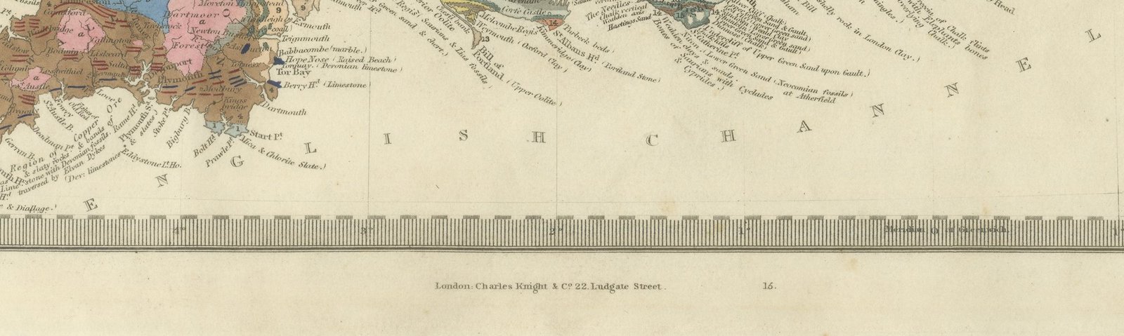
The plate comes from Maps of the Society for the Diffusion of Useful Knowledge, in the new edition corrected to the present time that Charles Knight and Company published at 22 Ludgate Street, London, in 1845, whose first volume covers Europe. The Society was founded in 1826 by Henry Brougham and his circle to publish useful knowledge at a low price. Its maps were issued in parts from 1829, first by Baldwin and Cradock, from 1842 by Chapman and Hall and then by Charles Knight, and the series grew to about two hundred maps. Most of them were engraved on steel by John and Charles Walker, and the outline color was applied by hand.
Roderick Impey Murchison, who arranged the map, had defined the Silurian system in 1835 and later became Director General of the Geological Survey. The imprint at the foot names Charles Knight and Company of 22 Ludgate Street, London.
Moderate overall age toning, with scattered foxing in the margins, one or two spots larger than the rest, a stain in the margin, handling wear to the top left and bottom left corners and minor nicks along the left edge.
This is an original antique map, not a modern reproduction. This item is sold unframed.