 The sheet, as you receive it
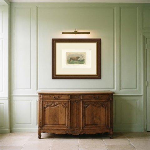
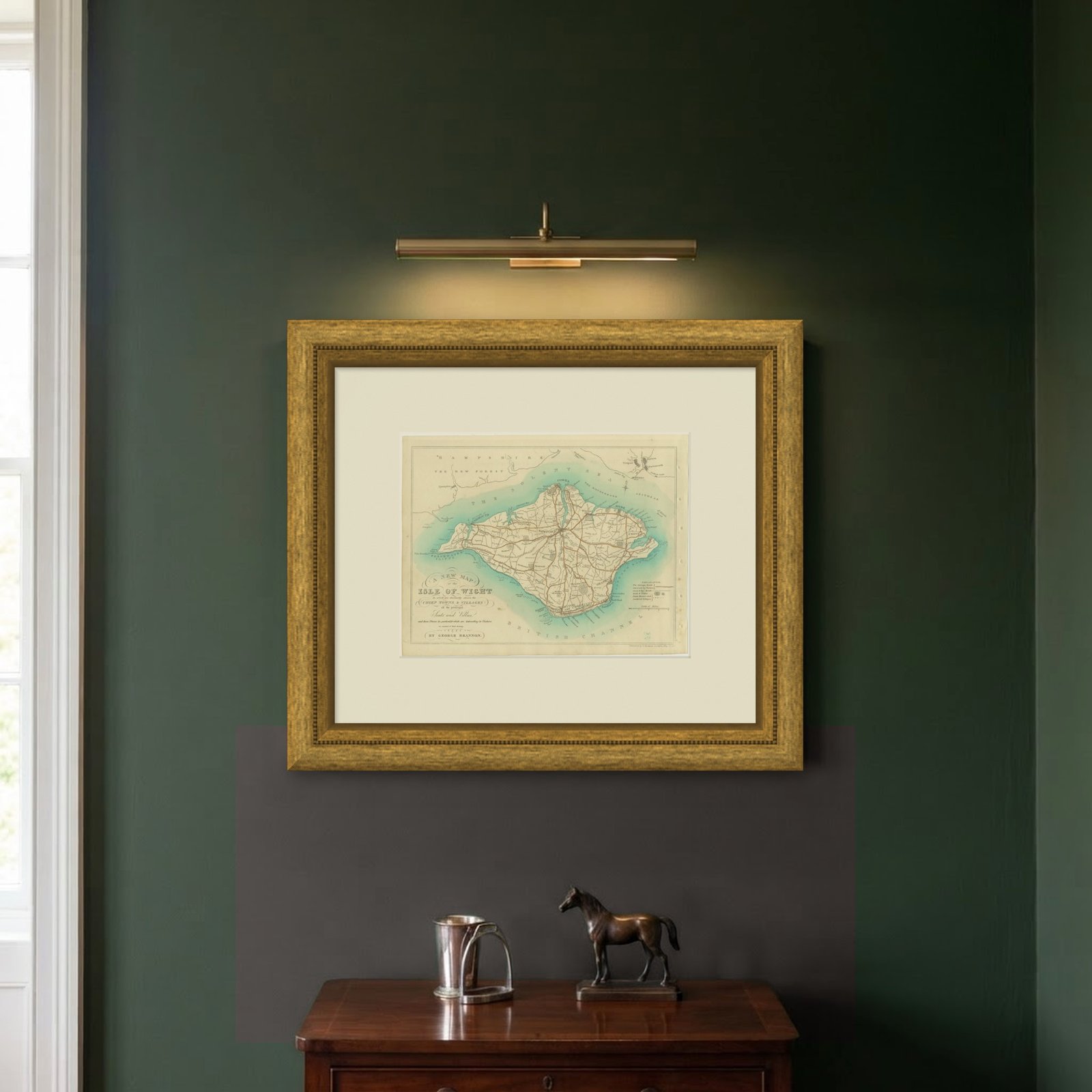
 In the room


Interior designers: BarTrade members buy at their trade price. How it works
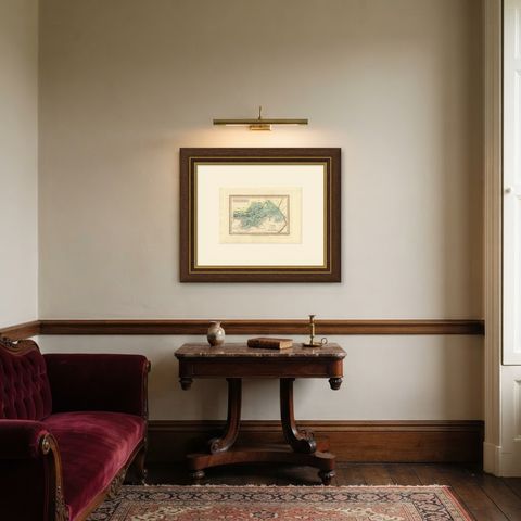
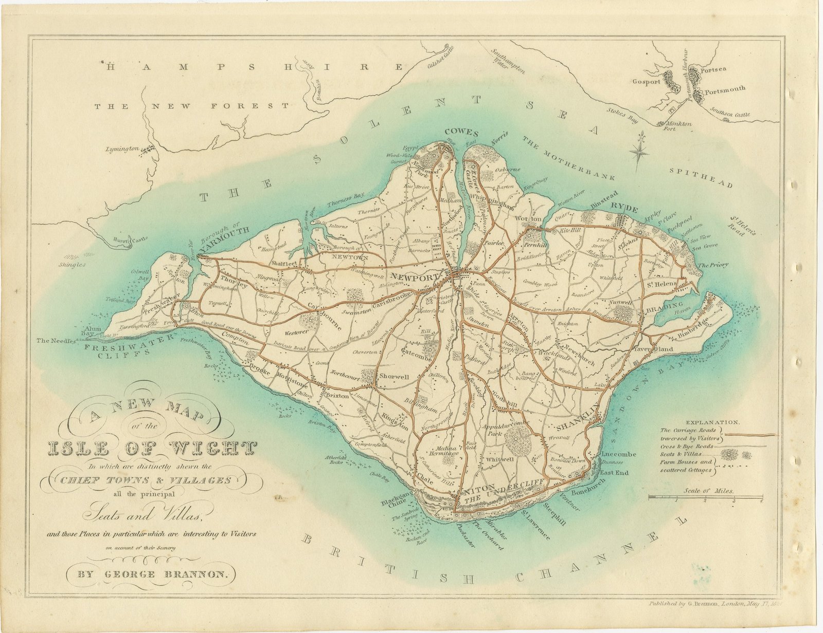
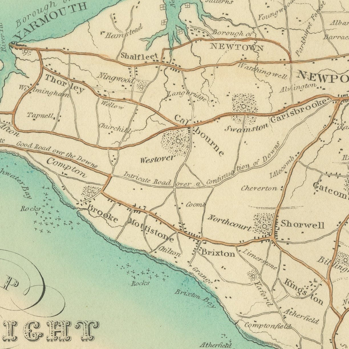
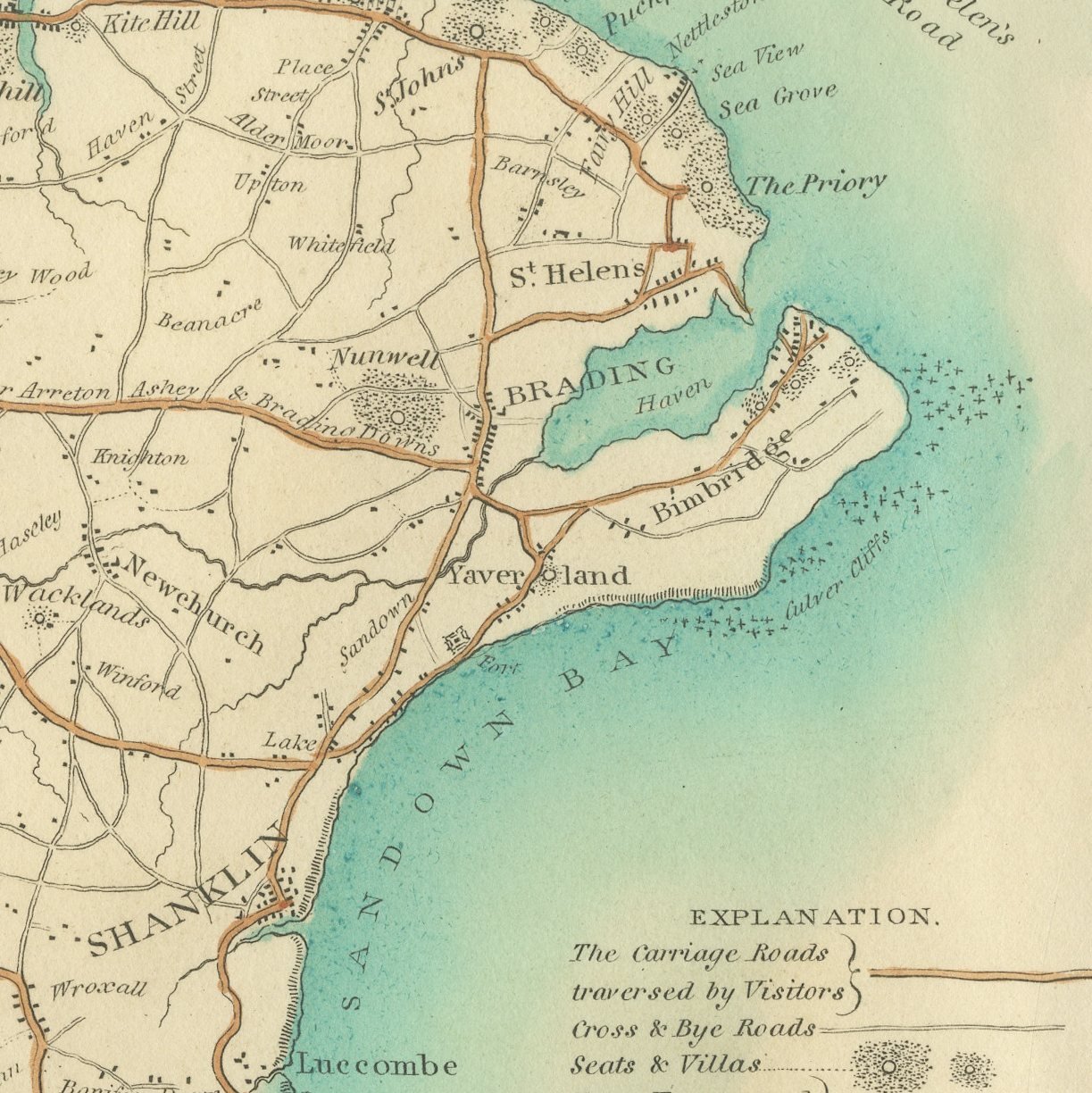
A hand-colored antique map of the Isle of Wight, engraved on copper by George Brannon, showing the whole island with its chief towns, villages, roads and all the principal seats and villas named across the downs. The cartouche announces "A NEW MAP of the ISLE OF WIGHT" and promises the places most interesting to visitors on account of their scenery. The Solent and Spithead are lettered to the north, the British Channel to the south, and the coast is followed round through Blackgang Chine, the Sandrock Spring, Niton, the Undercliff, Saint Lawrence, Mirables, Steephill and Ventnor. Inland, Appuldurcombe Park, Godshill, Shorwell, Brixton, Chale and Shanklin sit among the roads a Regency tourist would actually have taken. A light original wash picks out the sea and carries the island outline, so the shape of Wight reads instantly from across a room.
The view belongs to Vectis Scenery, George Brannon's series of original and select views of the Isle of Wight, printed and published by the engraver himself at Wotton Common on the island in 1829 and sold by the principal local booksellers. Brannon drew the subjects on the spot and cut the copper plates himself, so draughtsman and engraver are one man throughout. The volume's own advertisement leaf describes a first series of twenty-eight views with a map and letter-press, with a further twenty views issued separately as a Sequel. The technique is line engraving on copper. The map is the one sheet in the volume that carries color, a light original wash laid on the sea and along the island outline.
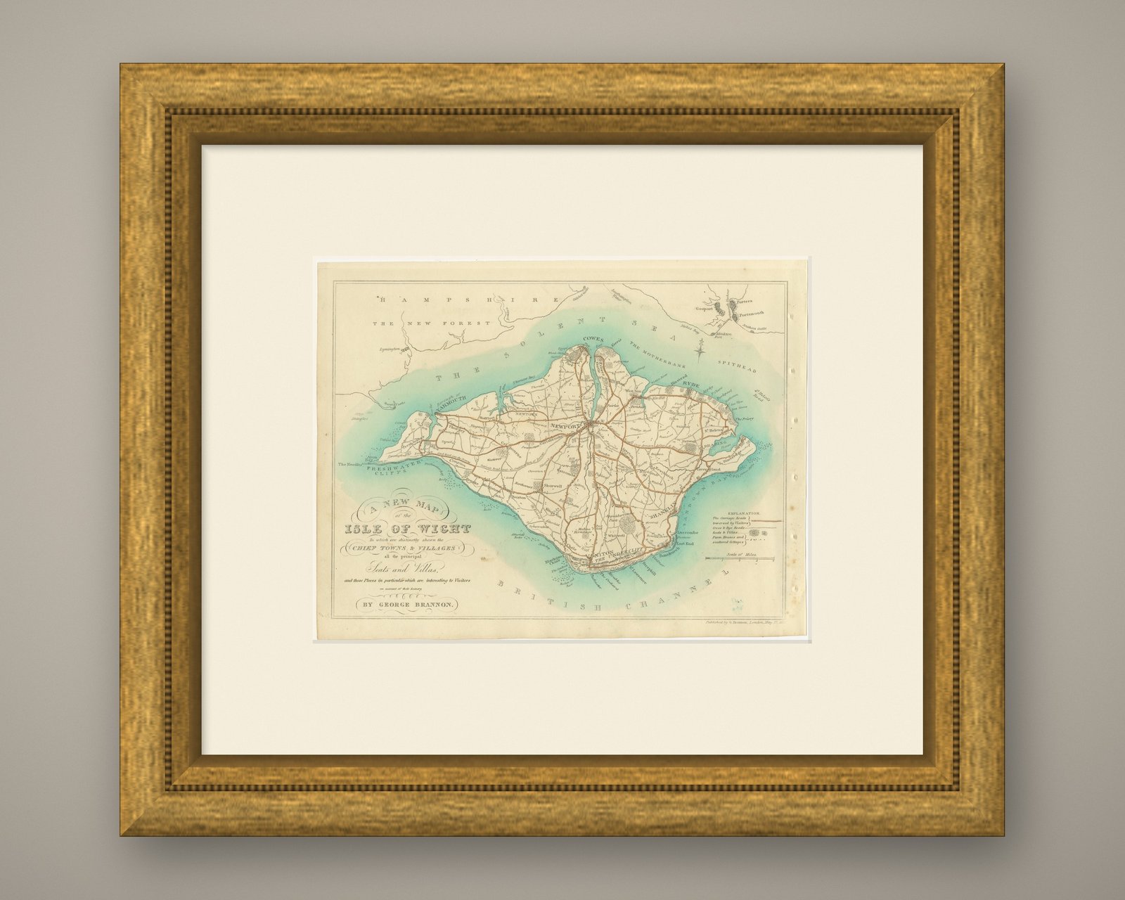
Brannon's map was made for the visitor rather than the surveyor, and that is exactly what makes it collectable now: it records the island as the early tourist trade found it, with the villas, hotels and viewpoints of the Undercliff named at the moment they were becoming fashionable. It is also the key sheet to the series of views, since almost every place engraved in the book can be found on it. Framed on its own it makes a handsome island portrait for a hallway or a boat room, and it is the natural center of a group hung with two or three of the views.
Light uneven toning, browner towards the edges. Handling soiling along the left edge. Scattered light foxing in the margin. Slight wear at the bottom right and top left corners.
This is an original antique map, not a modern reproduction. This item is sold unframed.