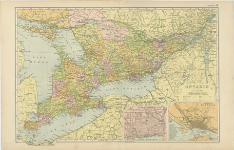
 The sheet, as you receive it
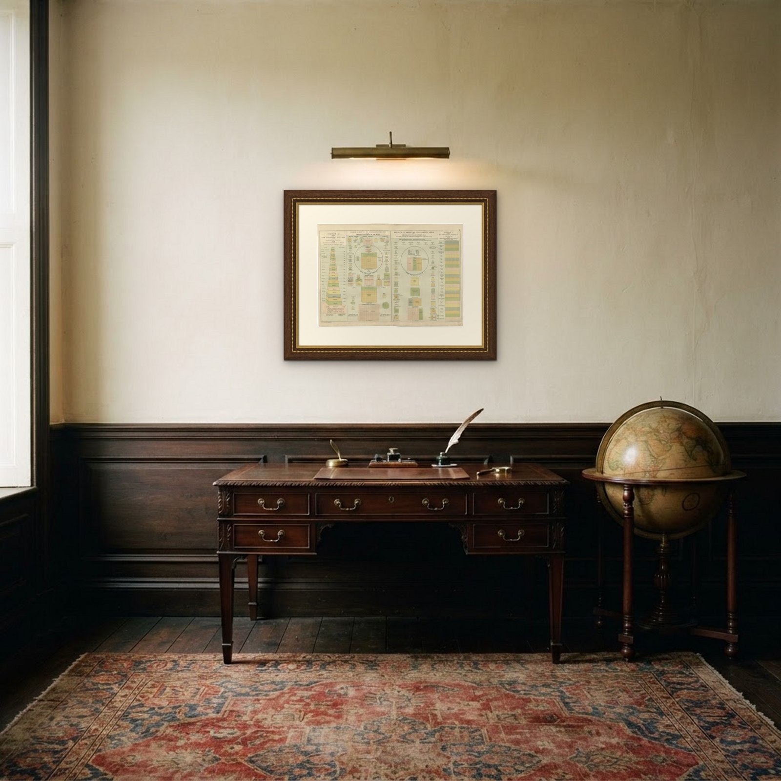 In the room

Interior designers: BarTrade members buy at their trade price. How it works
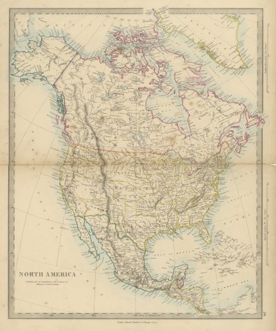
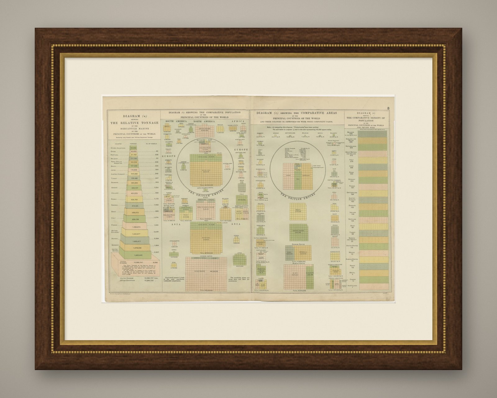
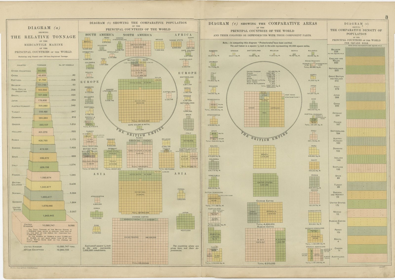
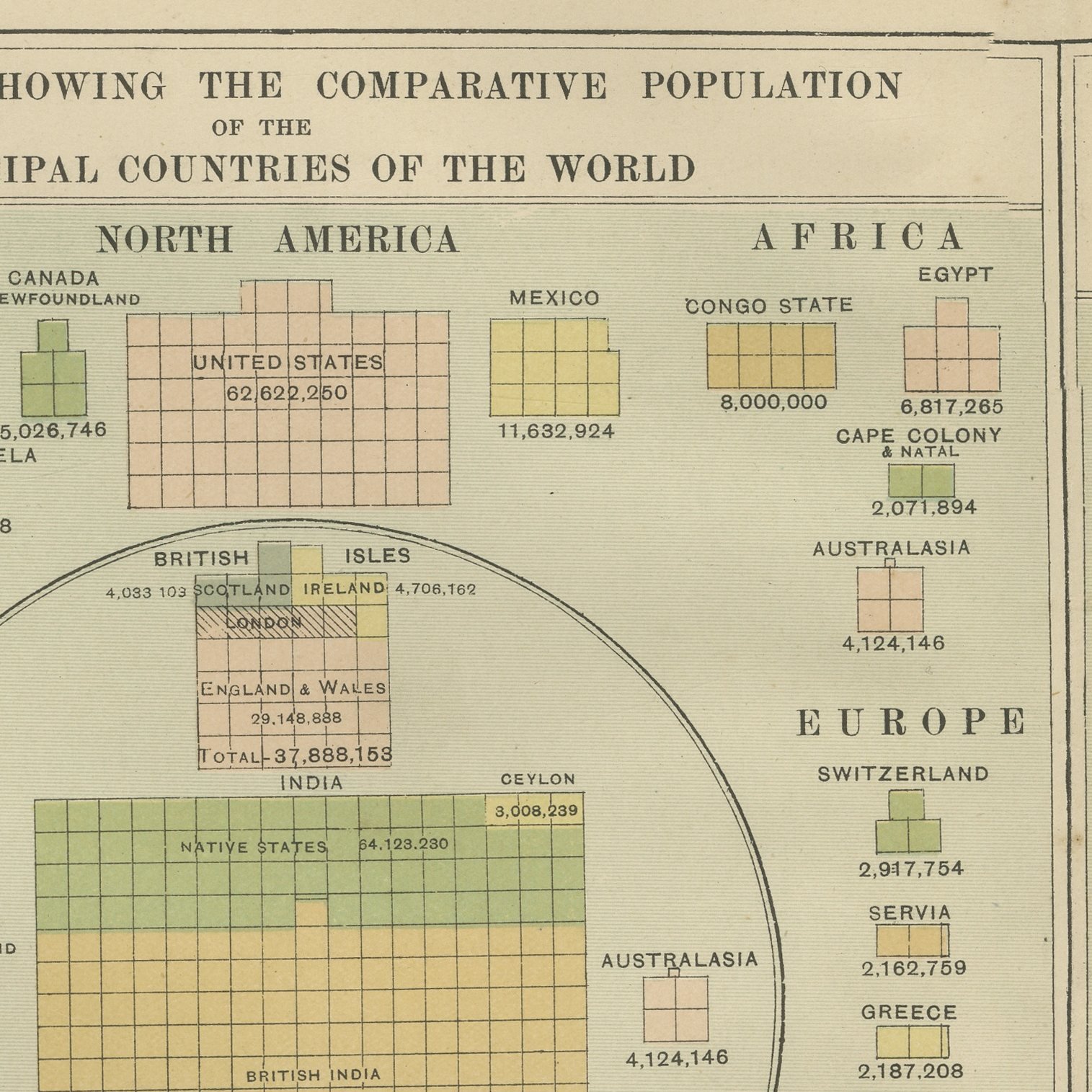
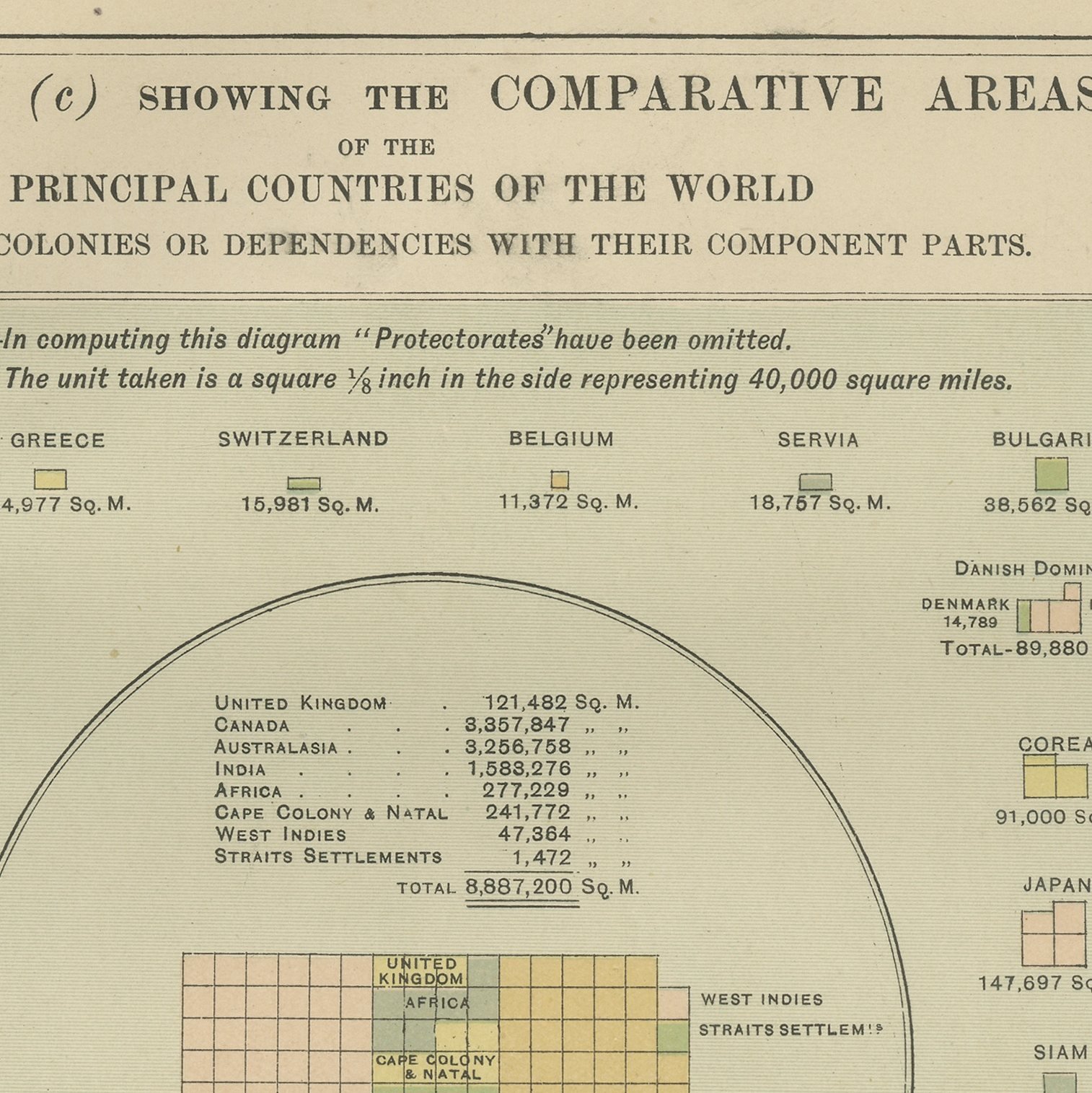
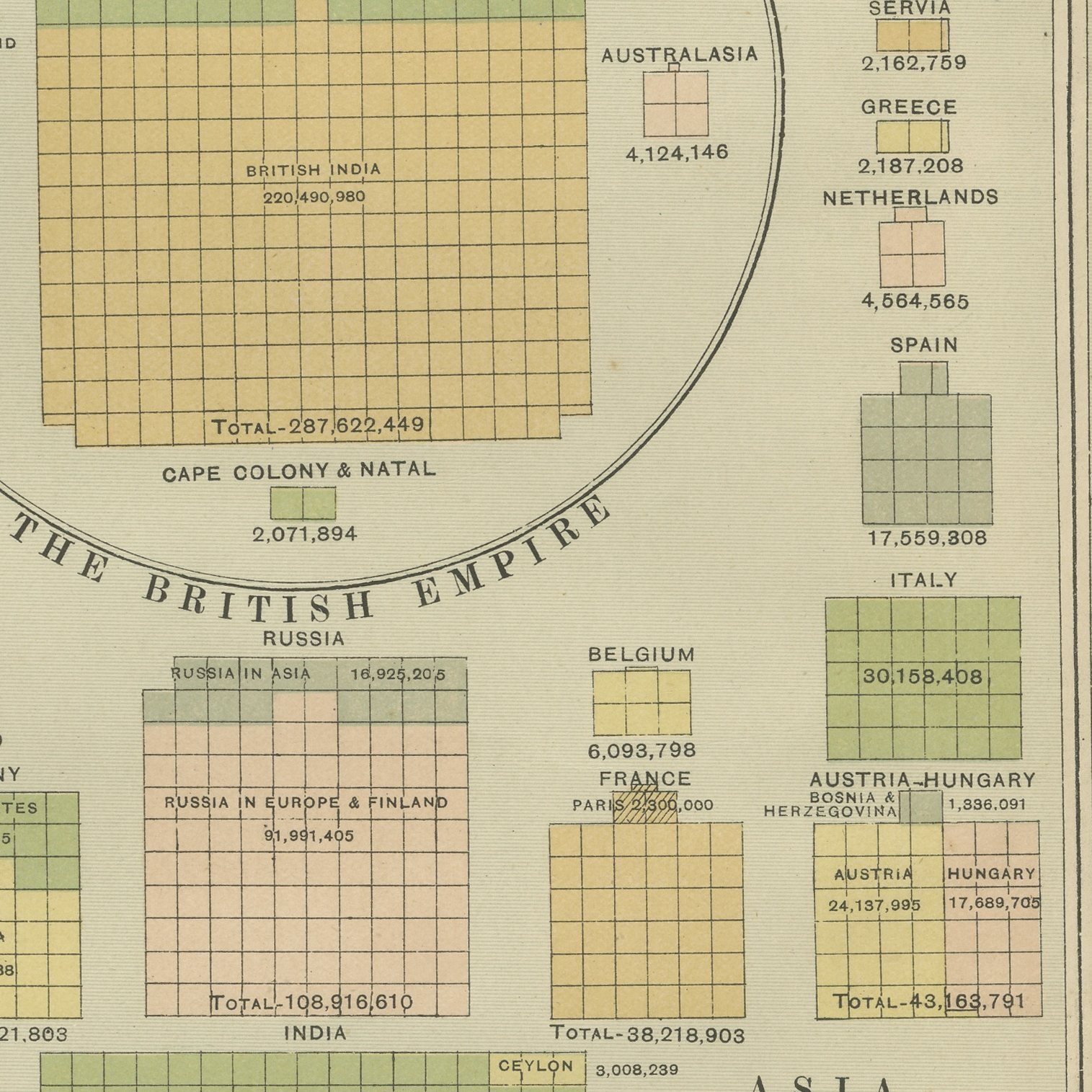
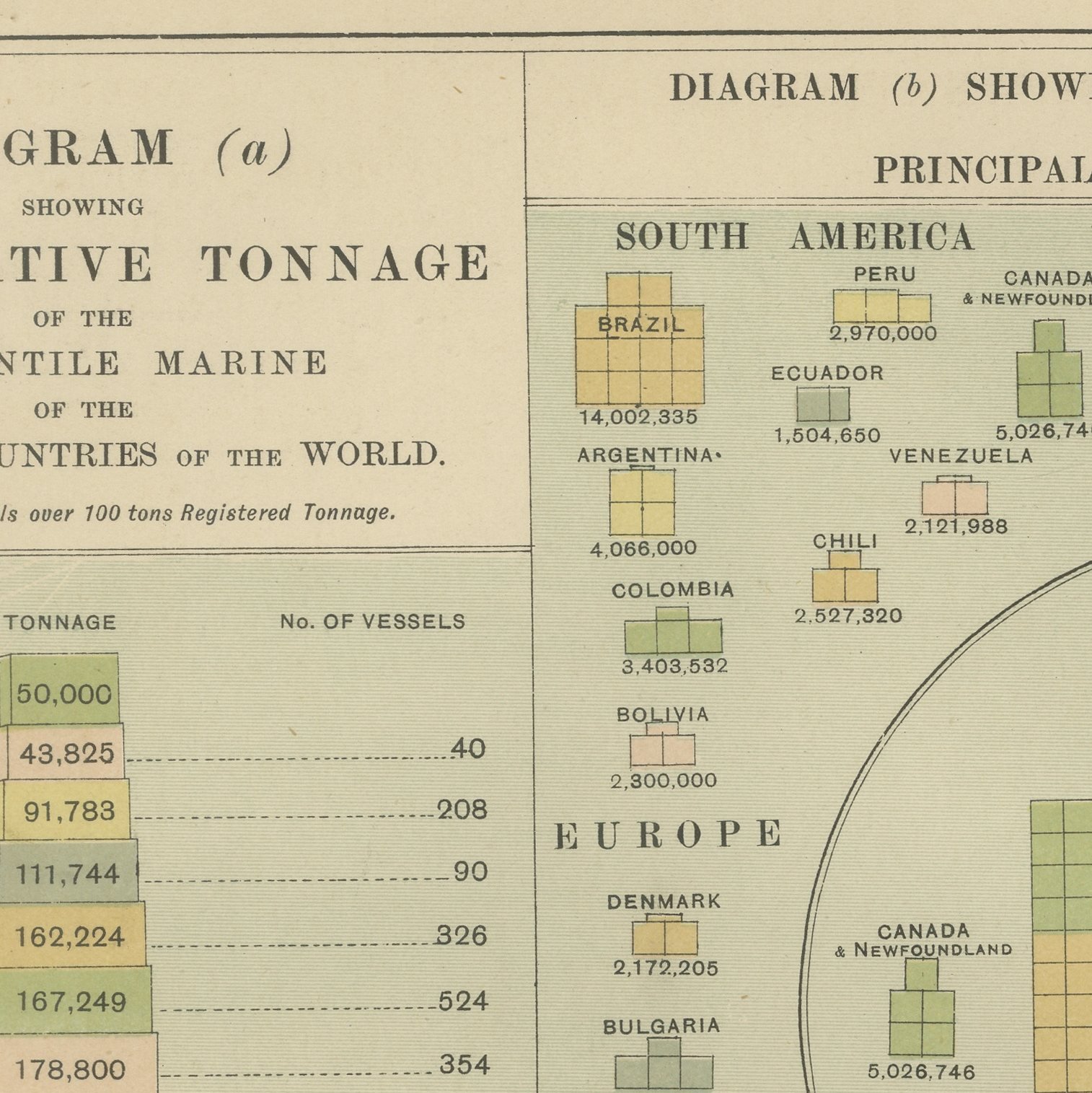
Original antique statistical plate from the 1898 Commercial and Library Atlas of the World, edited by G. W. Bacon in London and printed in color. Four diagrams fill the double page. The first stacks the merchant tonnage of every trading nation, the United Kingdom at the foot with 10,585,747 tons against 12,260,722 for all other countries together. The second and third build population and land area out of small colored squares, each square a million people or forty thousand square miles, with the component parts of the British Empire drawn inside a ring. The fourth ranks density of population per square mile, Belgium at 528 and Australasia at one.
Bacon's Commercial and Library Atlas of the World appeared from 127 Strand in 1898, edited by George Washington Bacon, an American who settled in London and built one of the busiest map houses in Victorian Britain. The volume ran to one hundred double page maps and one hundred insets, backed by an index of fifty thousand places, and its plates were drawn, printed and colored at Bacon's own Geographical Establishment, whose imprint appears in the lower margin of the sheets.
This is Victorian data visualization at its most confident, and it is unusually collectable for that reason: the sheet belongs to the same family of printed statistical graphics that historians of information design now study closely. The political argument is plain on the page, since every diagram is arranged so that the empire can be compared with the rest of the world at a glance. The figures themselves are a useful snapshot of the world economy in 1898, from Chinese population to Congo State area.
Even age toning, the paper a warm cream, with the paper darker along the top edge, a few handling marks in the margins and wear to the bottom left corner. The printed image itself is clean.
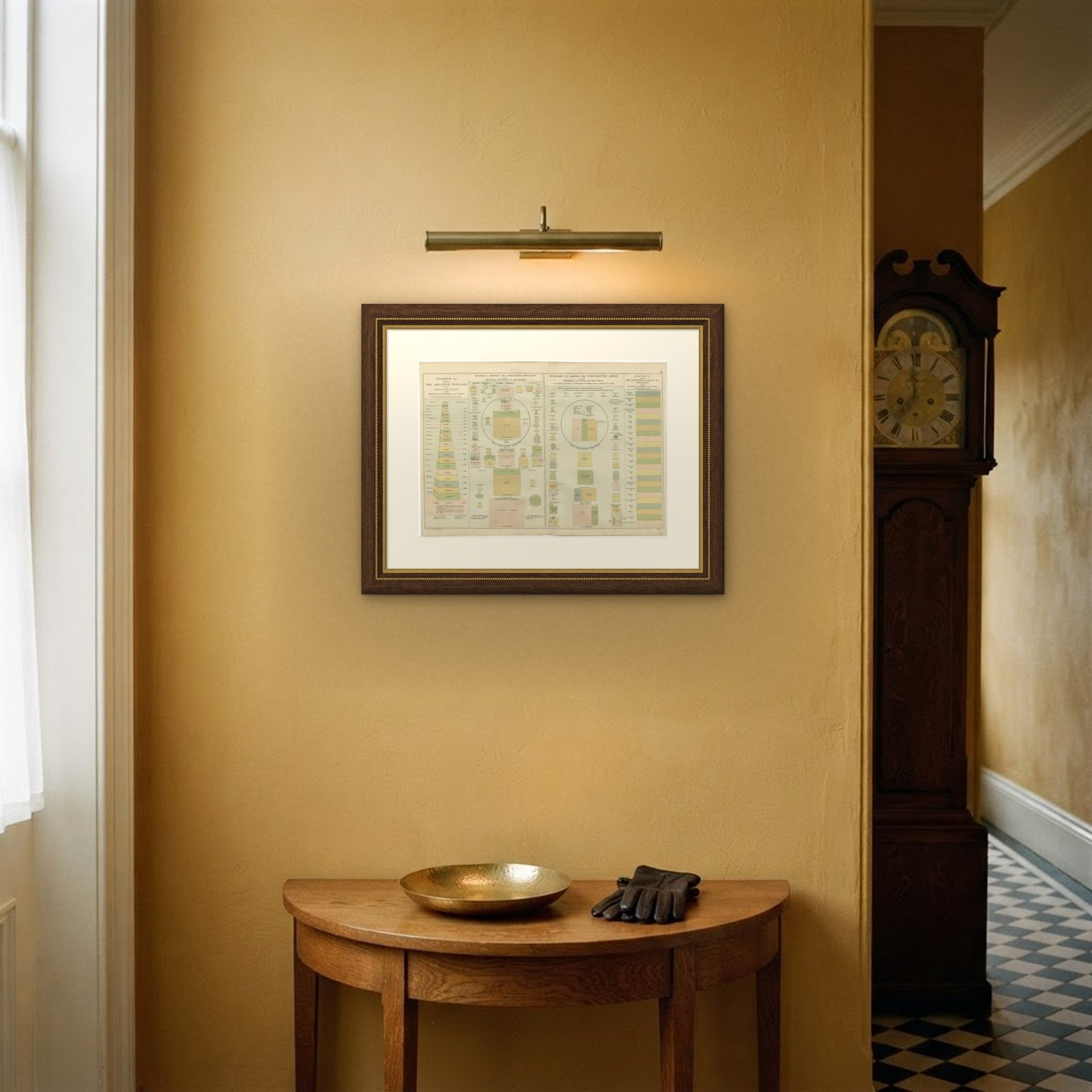
The sheet is large enough to carry a chimney breast or a stairwell and quiet enough in color to sit with books and furniture rather than compete with them. Collectors of Victorian cartography, interior designers and anyone with a tie to the region will find a use for it. This is an original antique plate, not a modern reproduction. This item is sold unframed.