 The sheet, as you receive it
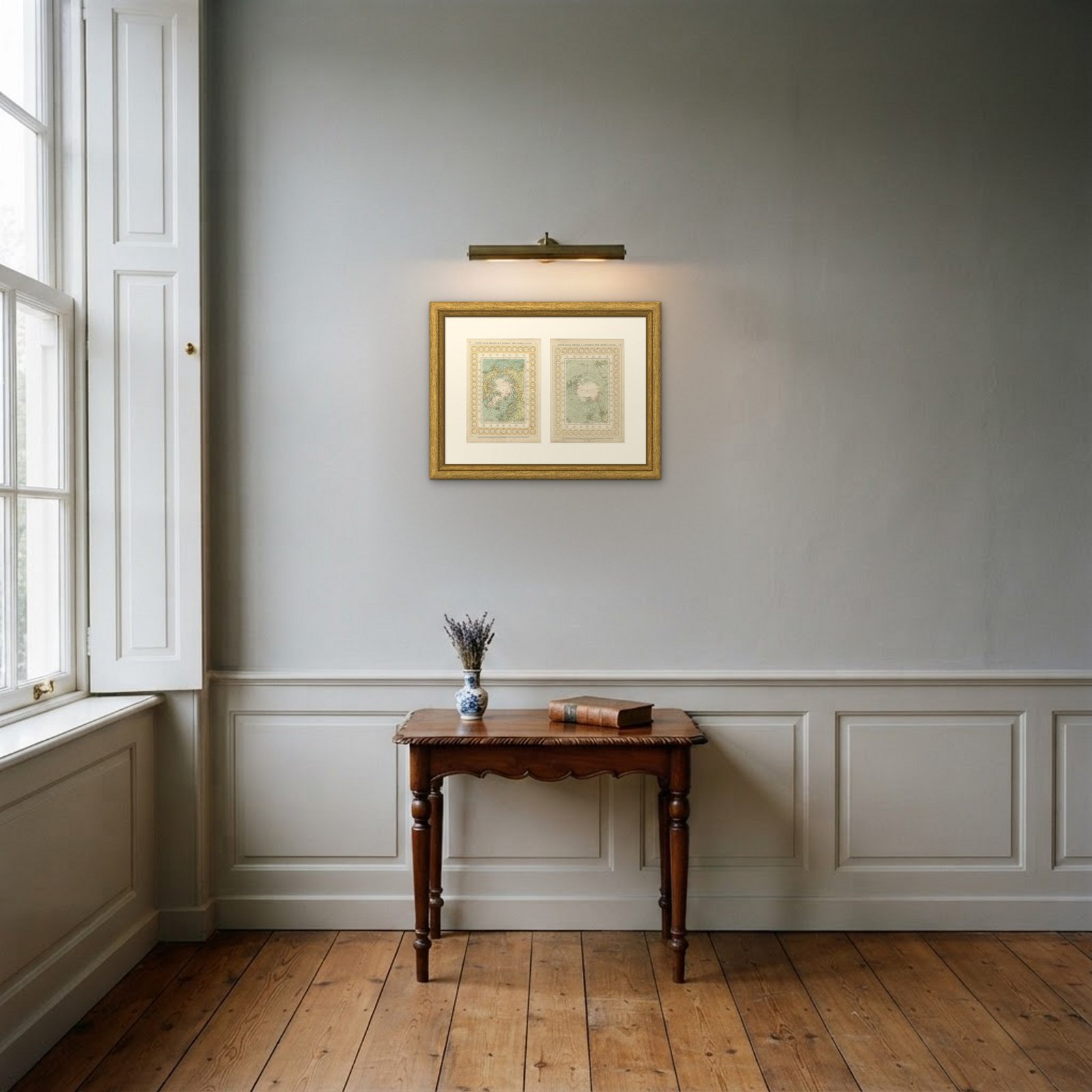 In the room 1
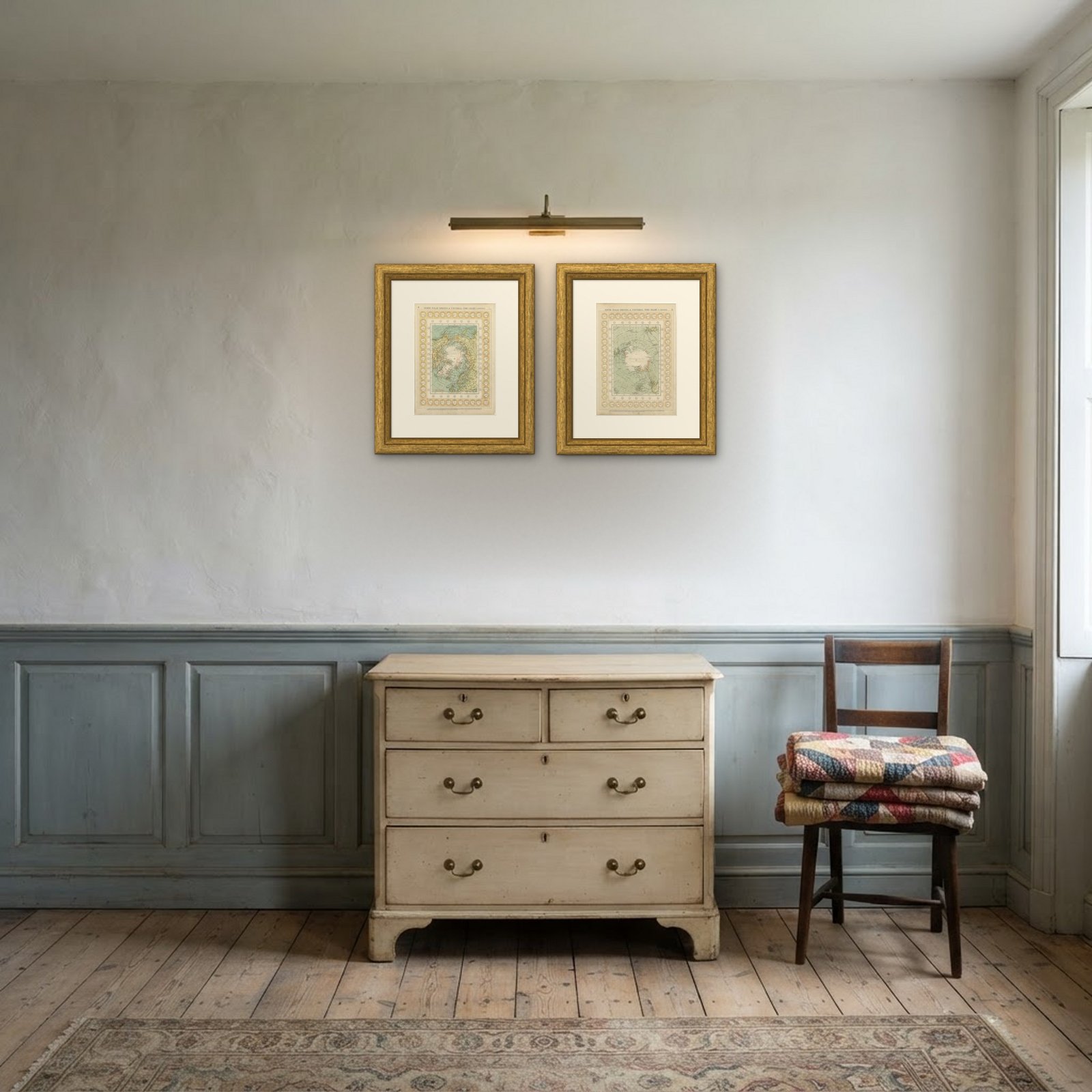
Interior designers: BarTrade members buy at their trade price. How it works
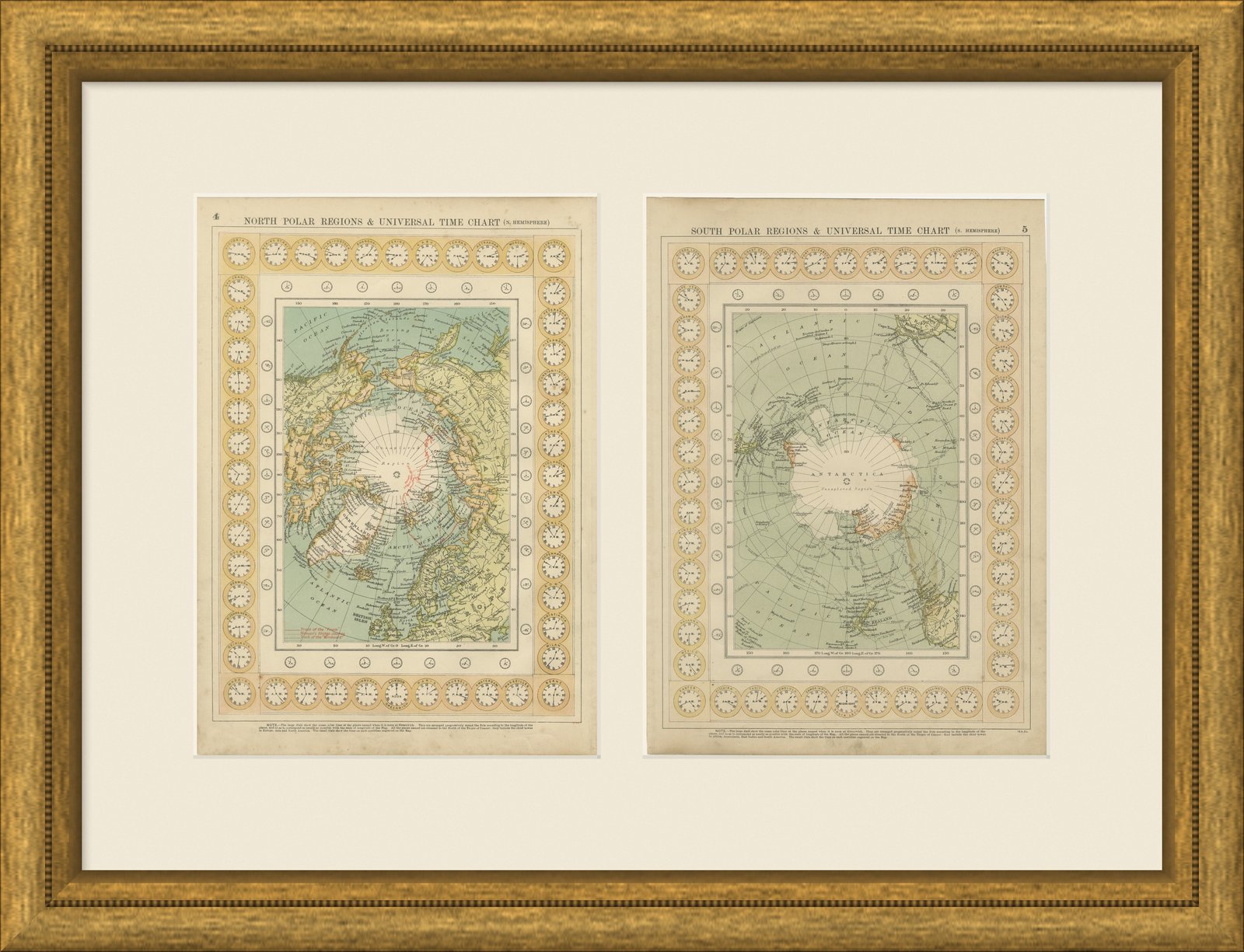
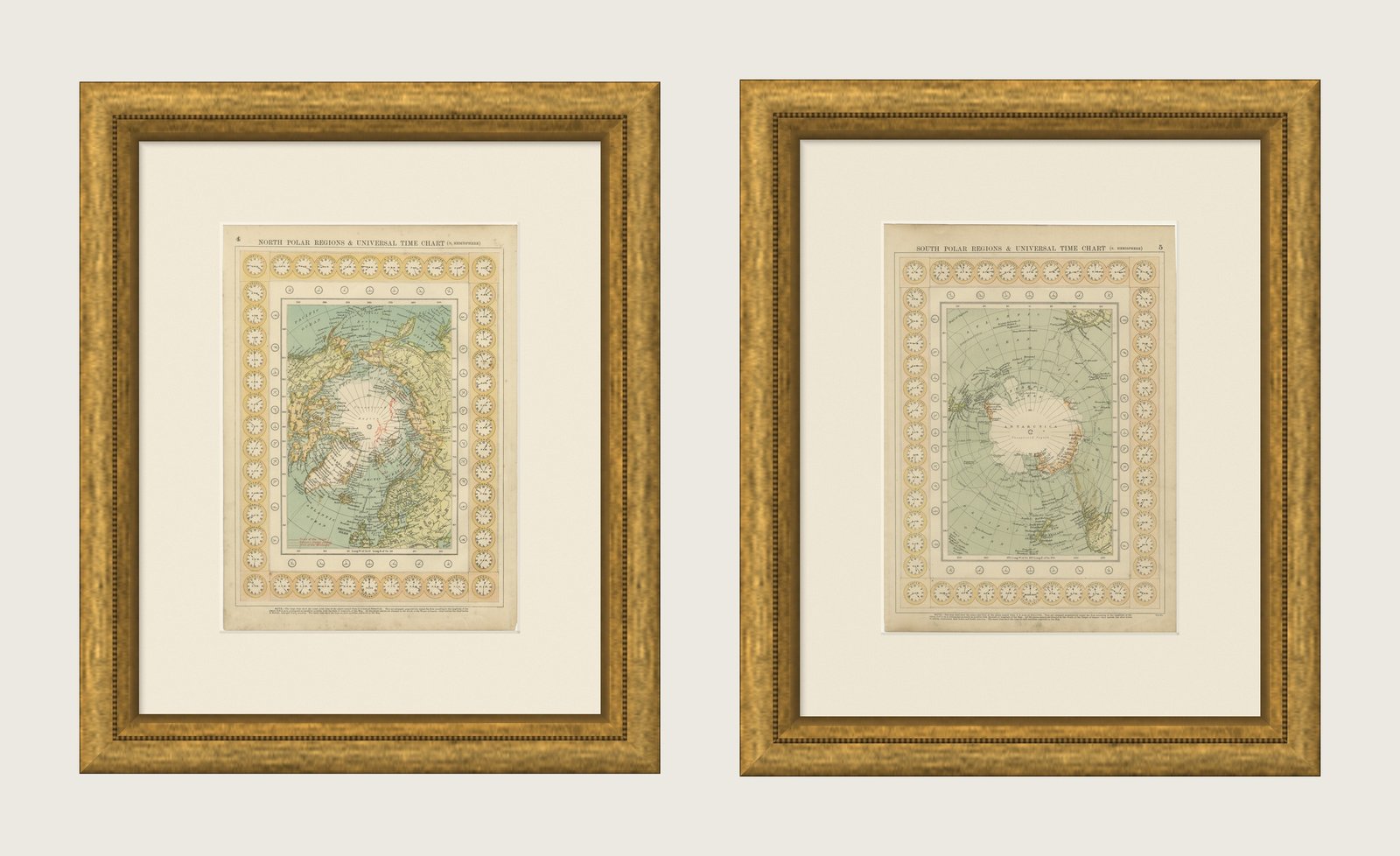
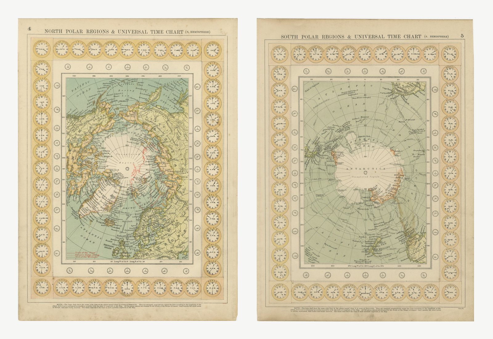
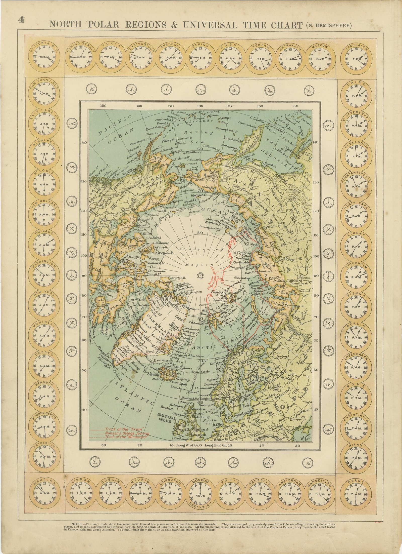
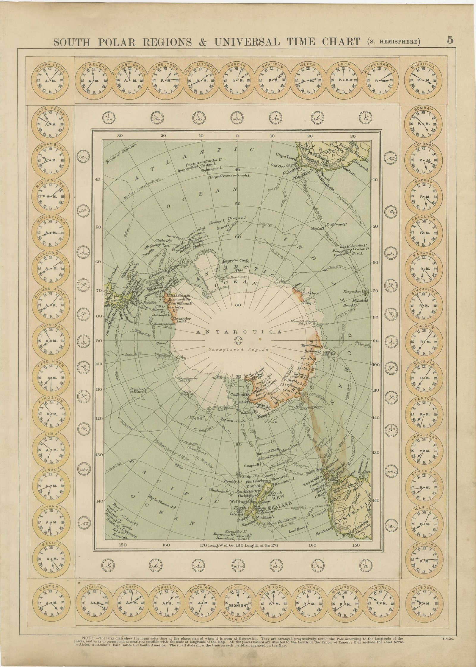
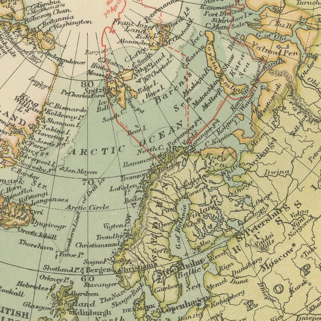
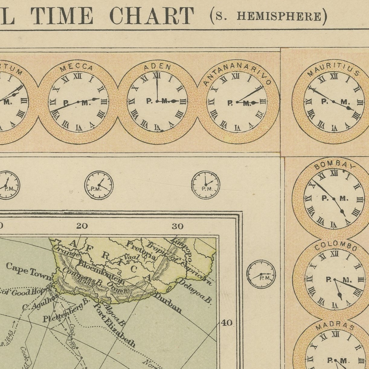
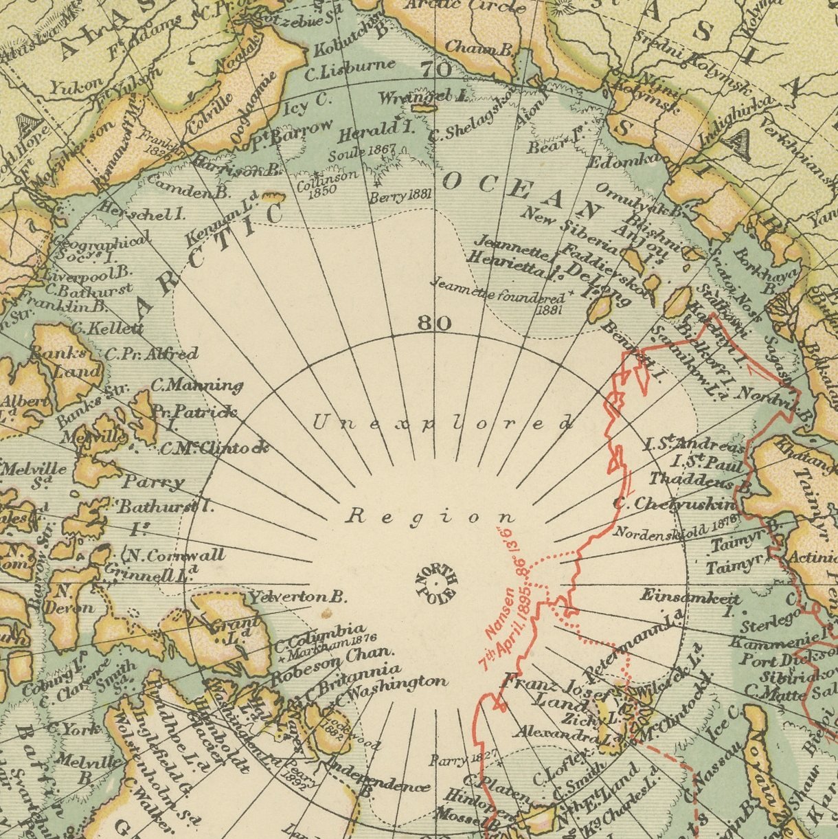
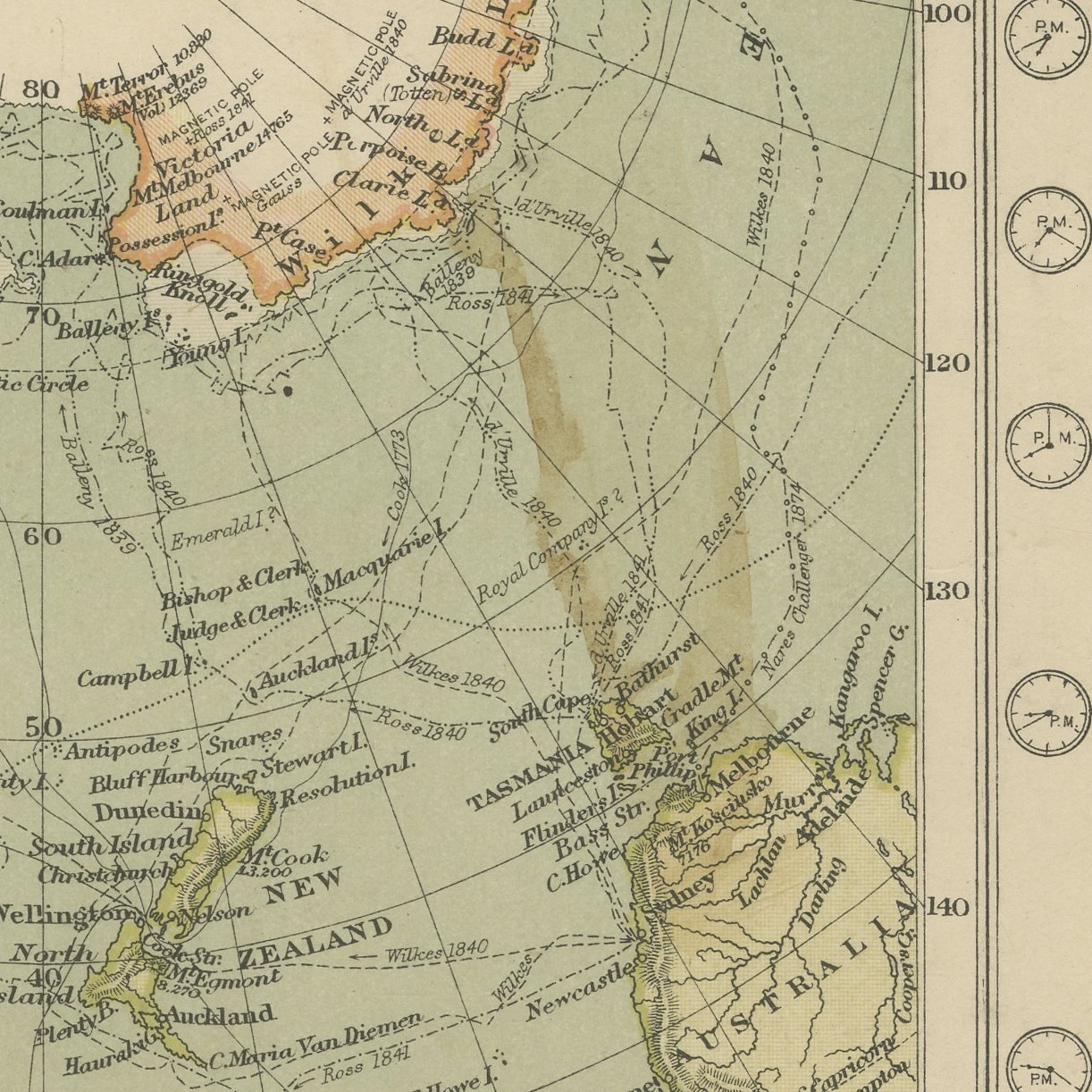
A matched pair of original antique polar maps, color printed in London in 1898 for G. W. Bacon's Commercial and Library Atlas of the World. These are two original sheets sold together as one set and are not offered separately. One plate centers on the North Pole, with Greenland, Franz Josef Land, Spitzbergen and the Siberian coast drawn around it and the tracks of the Arctic expeditions marked; the other centers on the South Pole, with Victoria Land, Graham Land and the Antarctic ice edge. Each sheet carries a universal time chart for its own hemisphere around the outer ring, so that the hour at any meridian can be read off directly.
This map was issued in the Commercial and Library Atlas of the World, published by G. W. Bacon and Company, Limited, London, in 1898. Bacon's house built its reputation on large, densely lettered commercial maps rather than on decorative cartography, and this atlas was its reference volume: one hundred double page maps and one hundred insets, each carrying the railways, steamer routes, submarine cables and administrative boundaries that a trading nation wanted at the end of the nineteenth century.
The two plates were drawn as a pair and have the same size, the same border and the same color, so they hang as one piece and lose most of their point if they are separated. The date matters: in 1898 neither pole had been reached, the Antarctic coastline is drawn in broken lines where nobody had been, and the Arctic carries the furthest north of each expedition as a dated mark. Within fifteen years both poles had been taken and maps like these became historical documents. The universal time charts are a second interest, since the international meridian conference that made them possible was only fourteen years old when these were printed.
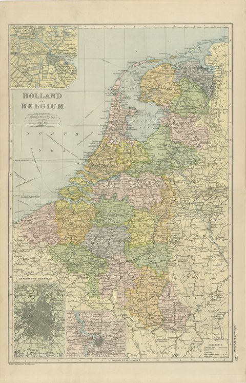
Two sheets, both age toned. The paper darker along the edges of plate 5. Gray handling soiling in the margins of plate 5. Handling wear to the corners of plate 5. The printed images are clean.
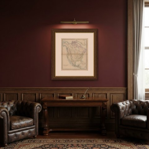
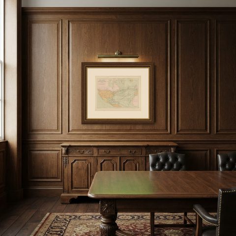
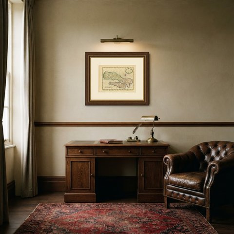
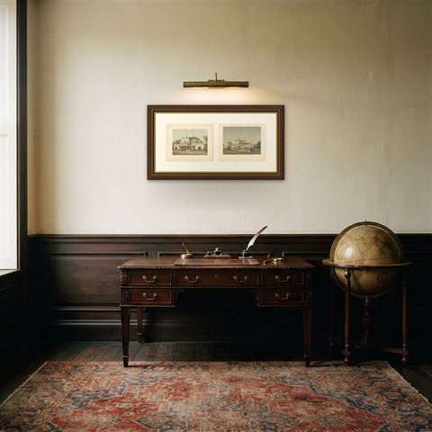
Hung in a plain frame with a generous mount, a map of this scale makes a strong center for a room, and it pairs naturally with other sheets from the same atlas if a wall calls for a group. It is equally at home in a study, a dining room or a set of offices. These are original antique maps, not modern reproductions. This item is sold unframed.