 The sheet, as you receive it
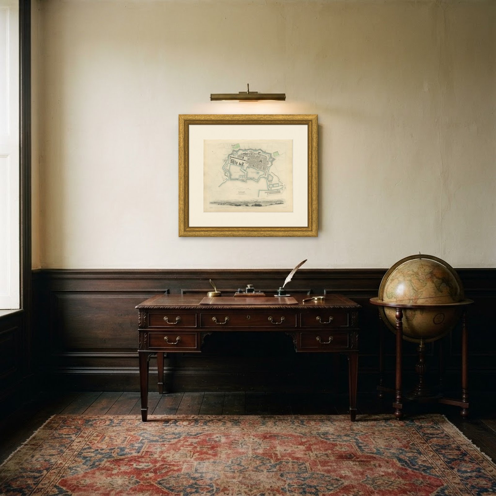 In the room
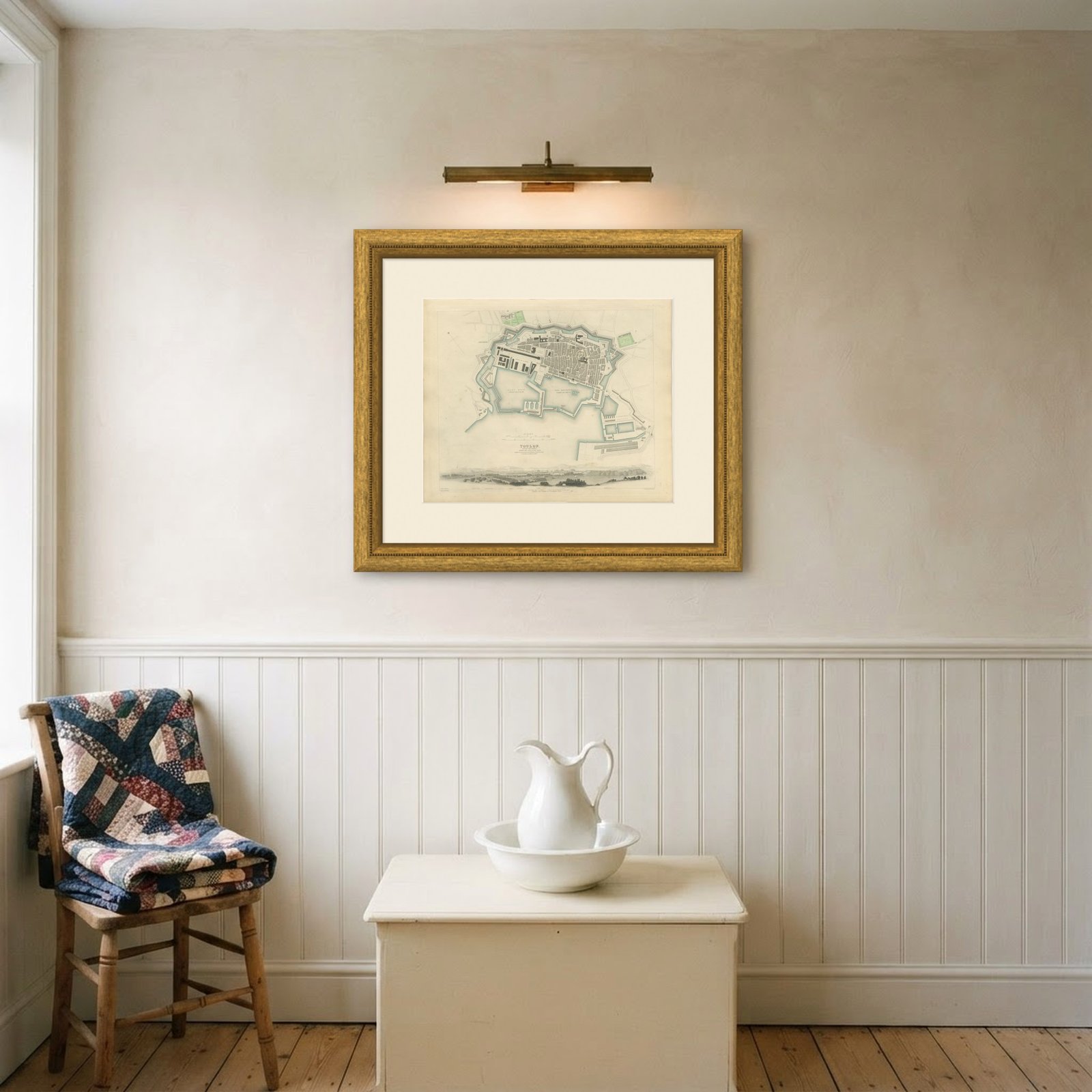
Interior designers: BarTrade members buy at their trade price. How it works
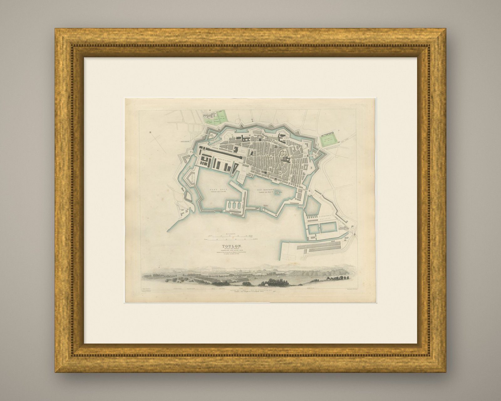
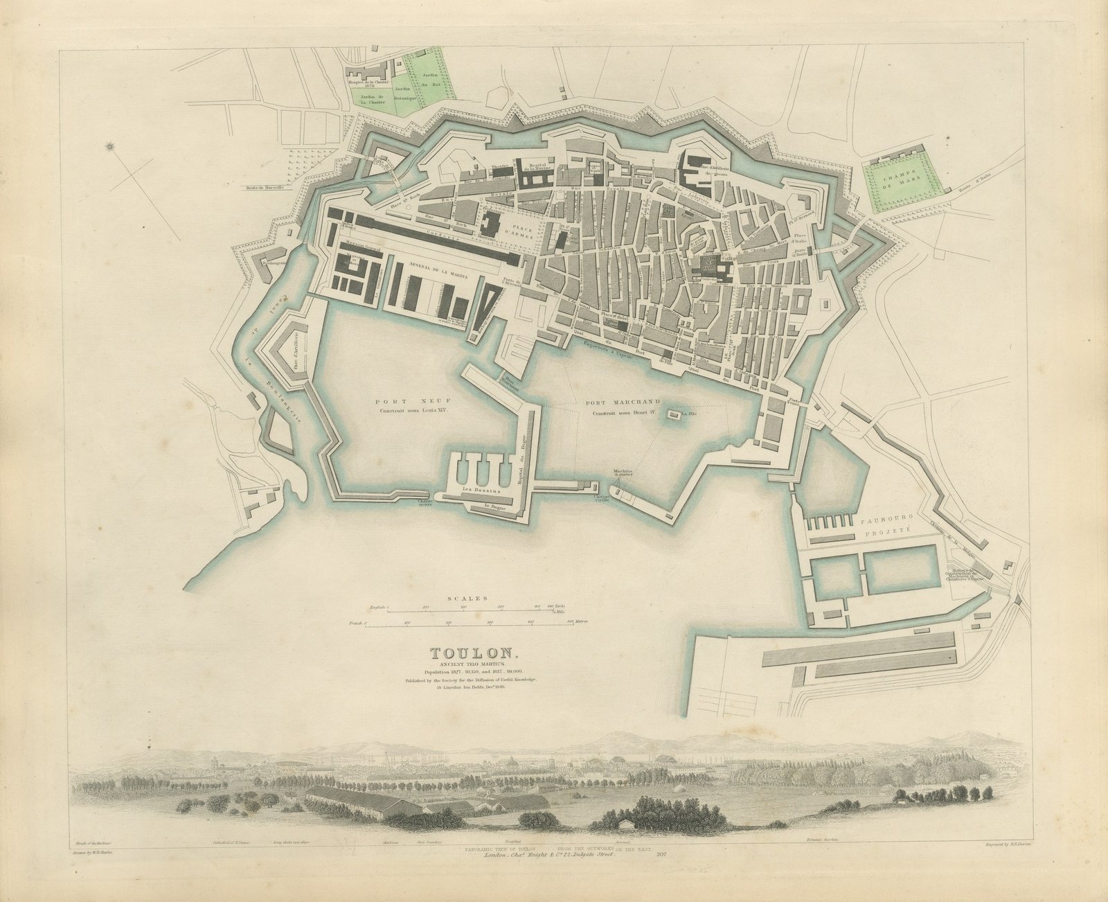
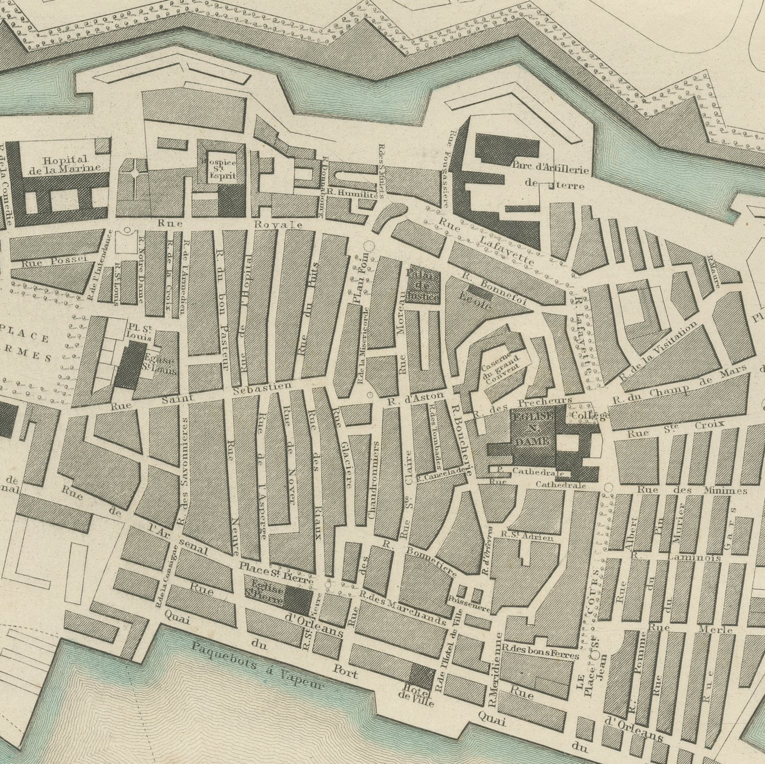
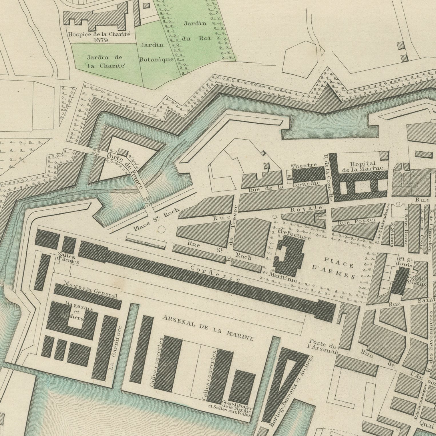
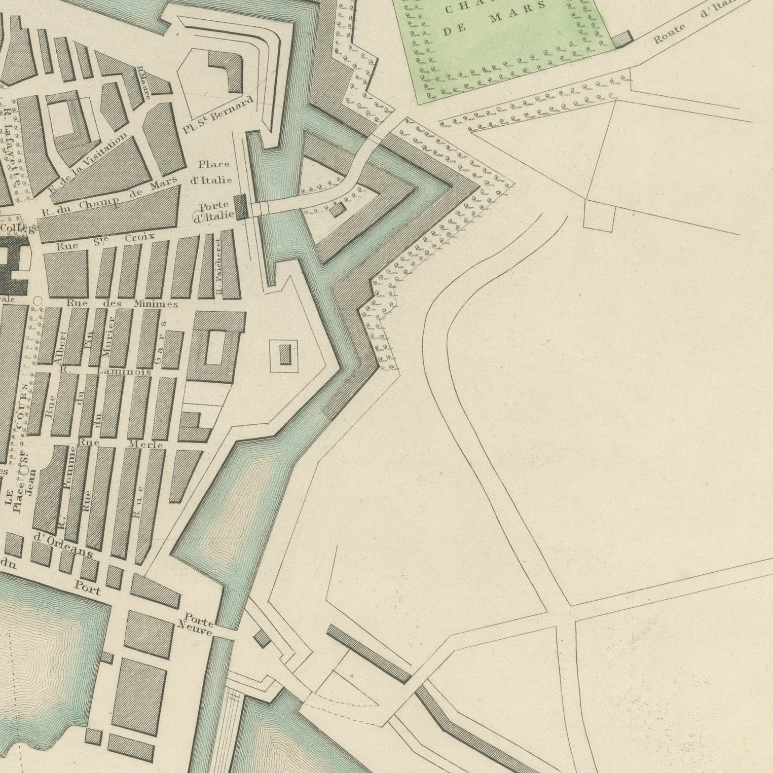
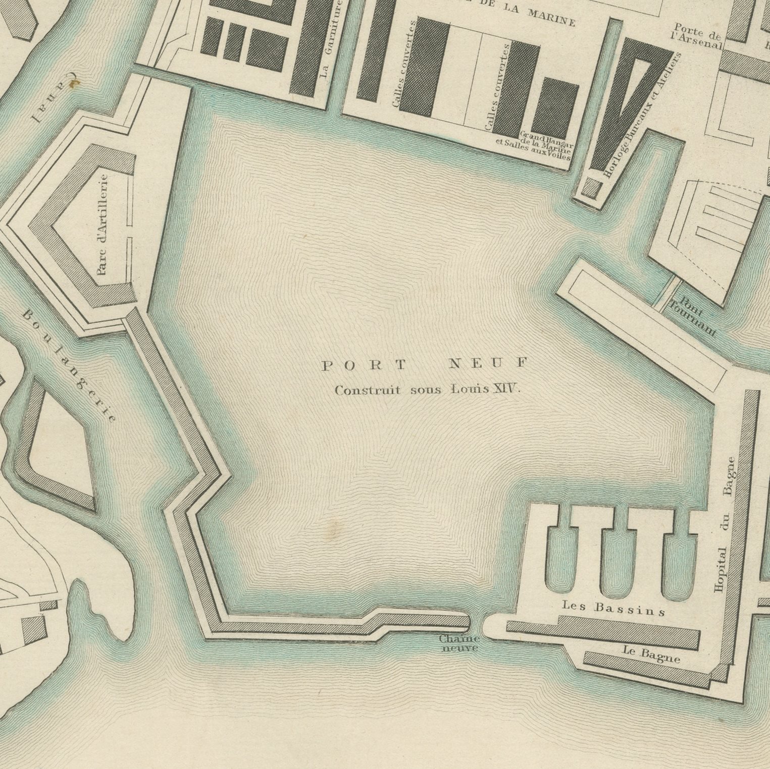
This is an original antique city plan of Toulon, steel engraved and published in the atlas of the Society for the Diffusion of Useful Knowledge. The plan shows the fortified town behind its bastions with the Arsenal de la Marine filling the western waterfront, the Port Neuf built under Louis the Fourteenth and the Port Marchand built under Henri the Fourth both named on the water. The population is given for 1827 and 1837, the imprint dates the sheet to December 1840, and a panoramic view of Toulon from the outworks on the east runs along the foot. The outline and water coloring is original hand color, applied by the publisher before the sheet was bound into the volume.
It carries plate number 207 and belongs to the third volume of the Society for the Diffusion of Useful Knowledge atlas, the volume given over to plans of cities, the stars and the index to places, published by Charles Knight of 22 Ludgate Street in London in 1847. Knight took over the Society's map series and reissued it corrected, so the plates carry a range of dates within one set. The plate is lettered as drawn by W. B. Clarke and engraved by B. R. Davies.
Toulon was the chief naval base of France in the Mediterranean and this plan lays out the dockyard that made it so, basin by basin. It is a natural sheet for anyone interested in naval history, and the long panorama gives it an attractive horizontal balance. Framed simply in dark wood or a plain gilt frame it suits a study, a hallway or a dining room, and it is a natural gift for anyone with a tie to the place.
Light uneven toning, browner toward the edges. Handling soiling along the bottom, left and right edges. Scattered light foxing in the margin. All four corners complete.
This is an original antique map, not a modern reproduction. This item is sold unframed.