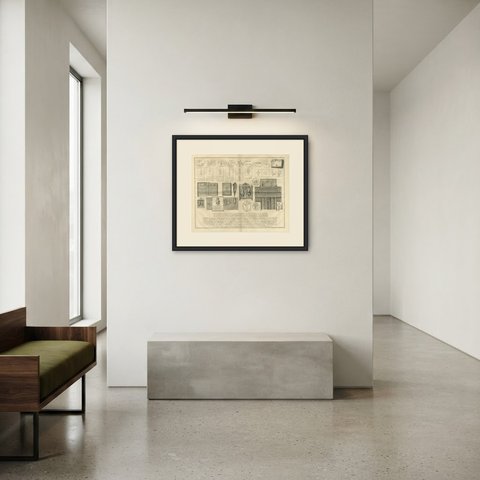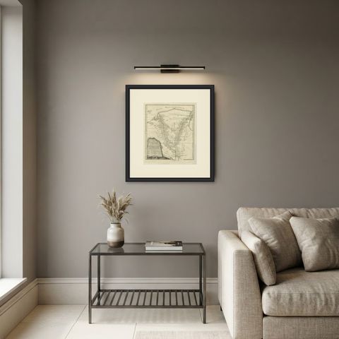
 The sheet, as you receive it
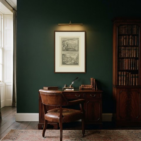
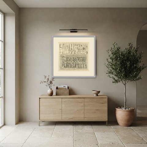
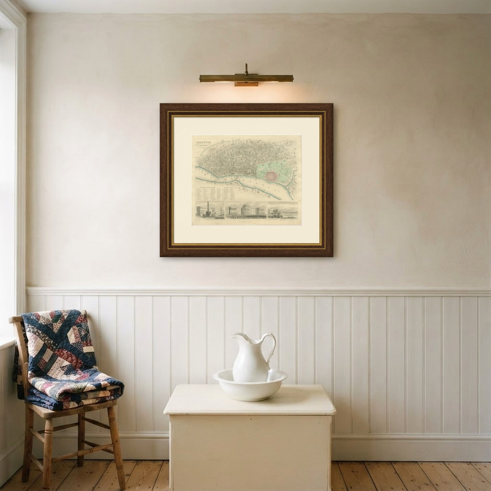
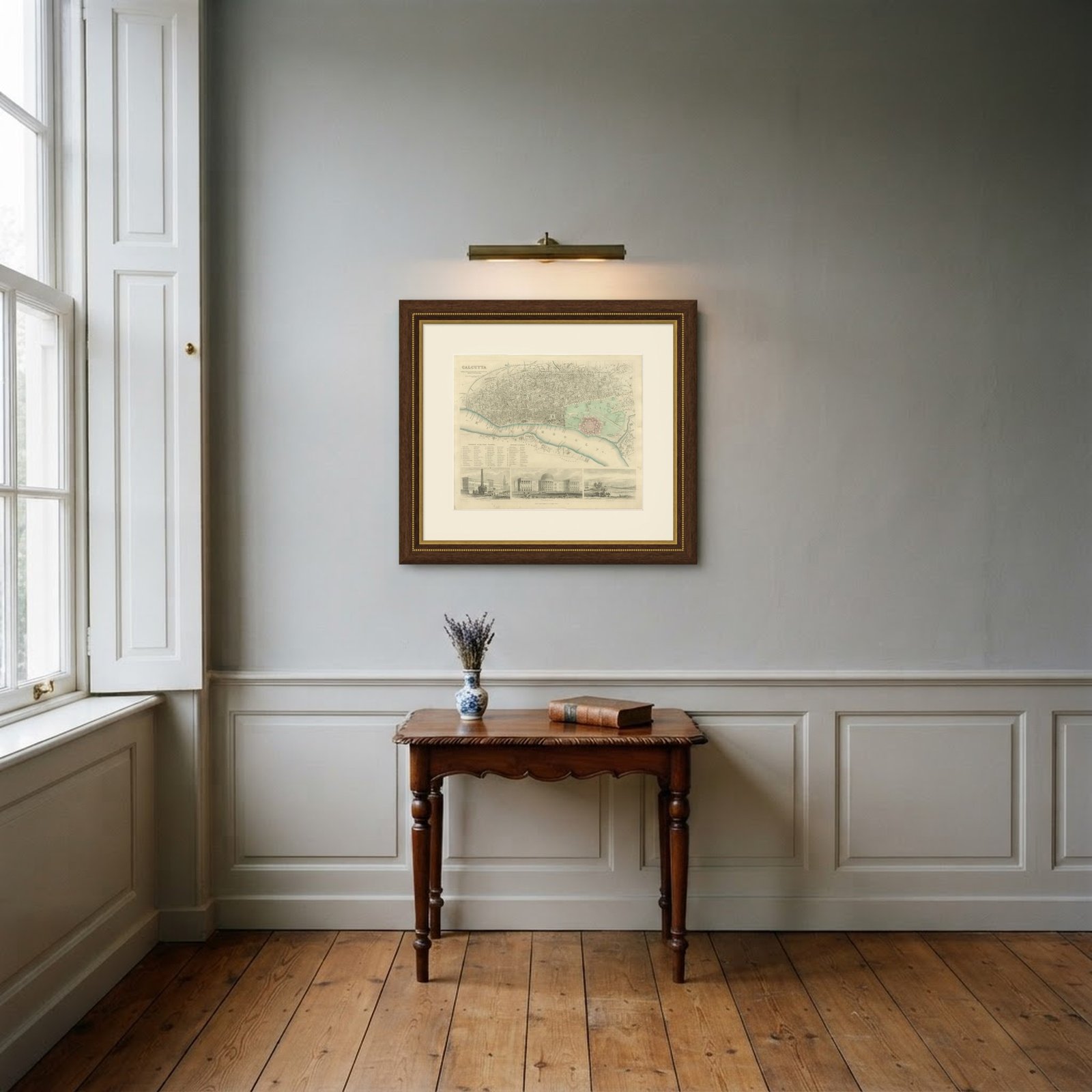 In the room
Interior designers: BarTrade members buy at their trade price. How it works
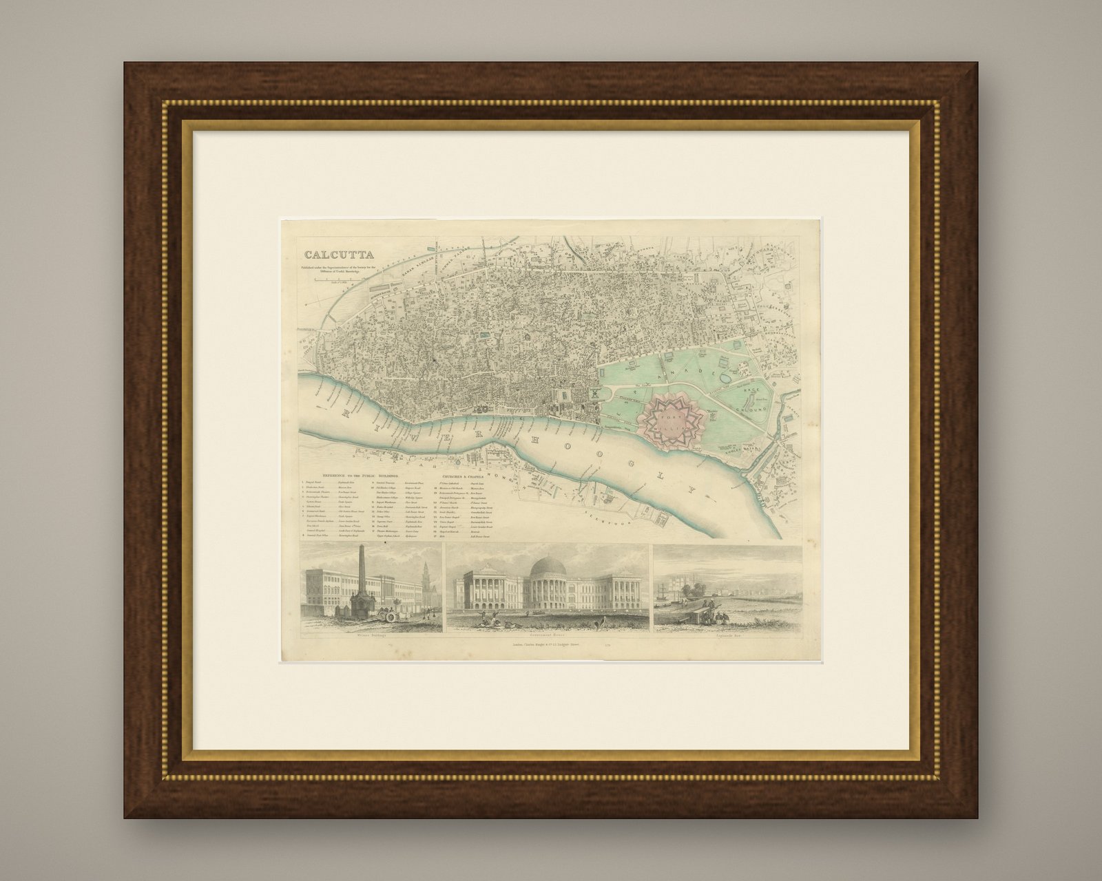
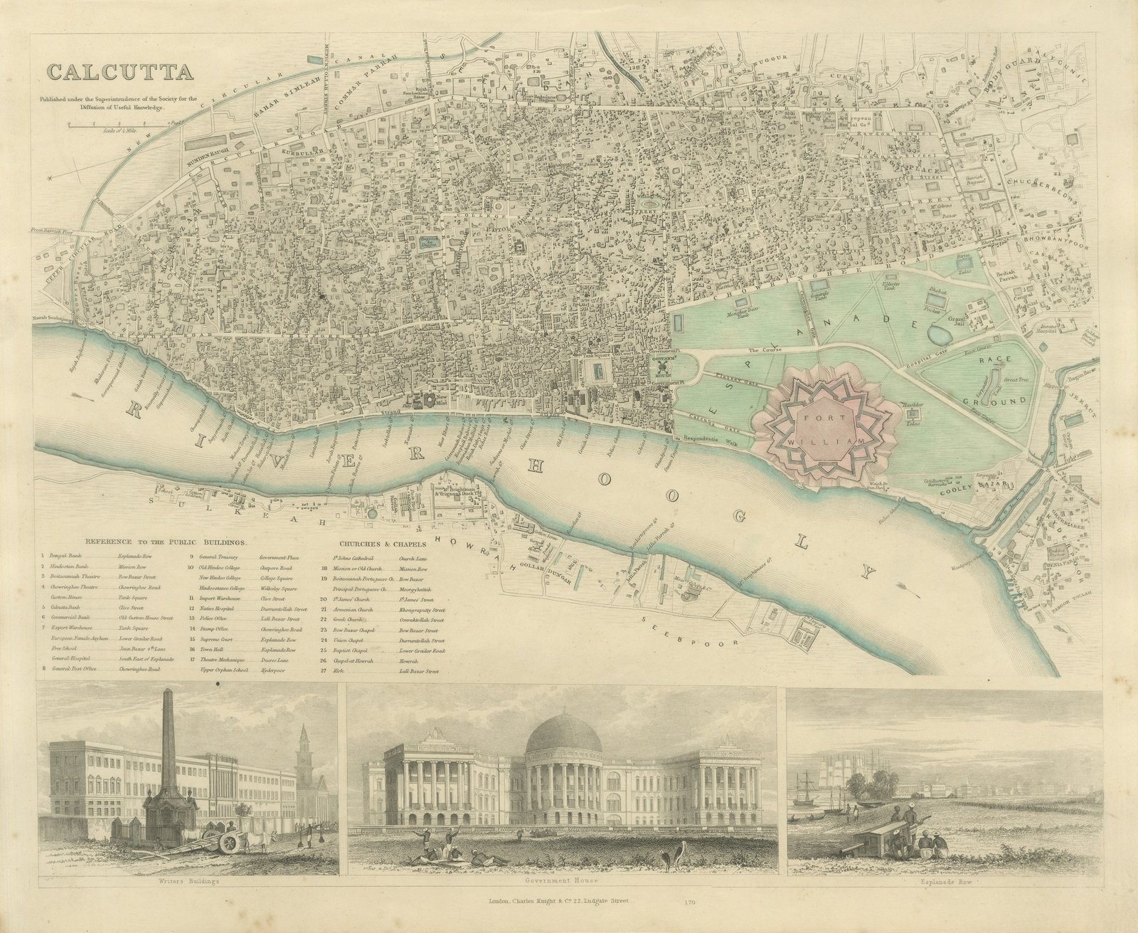
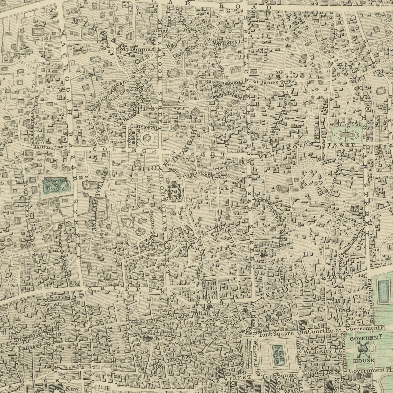
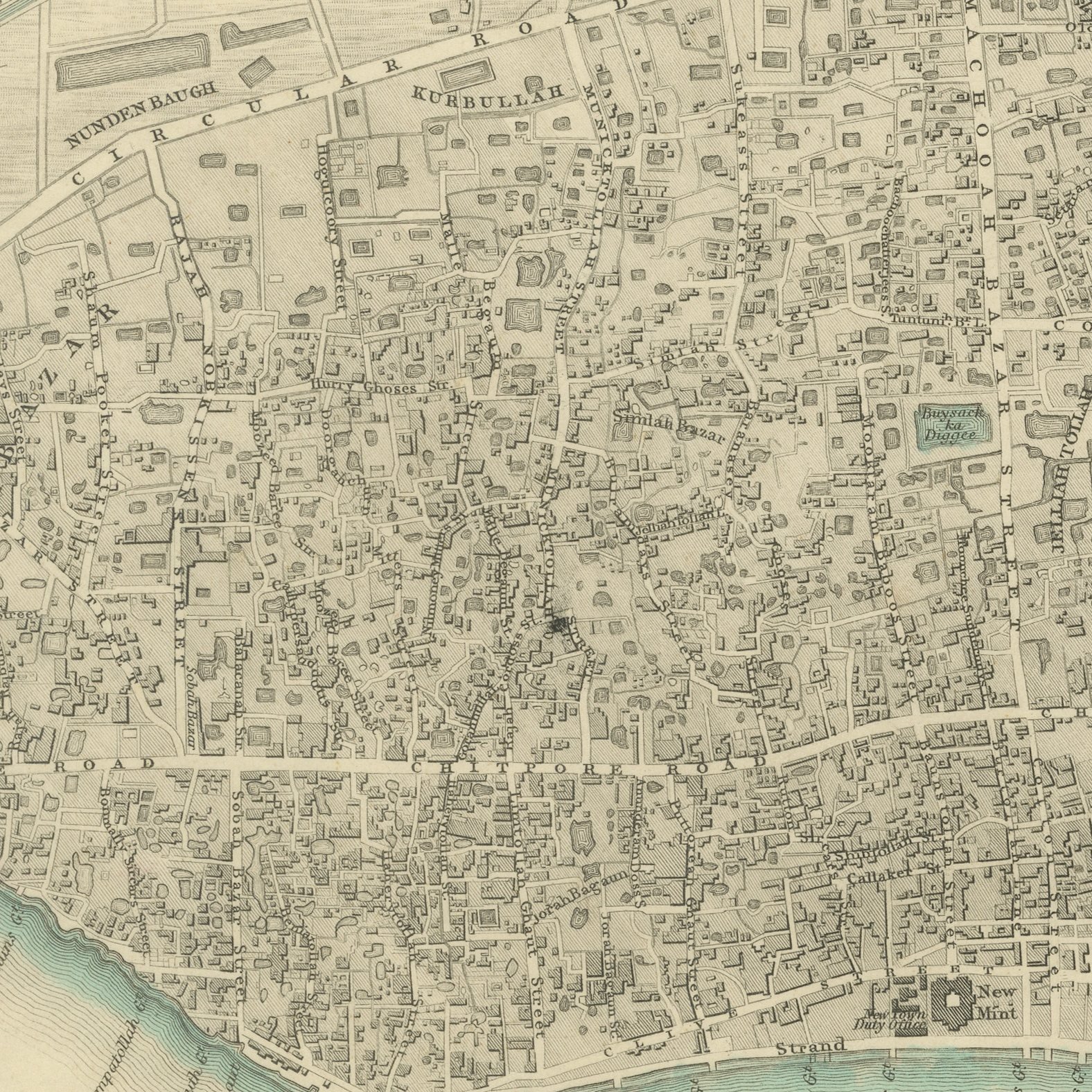
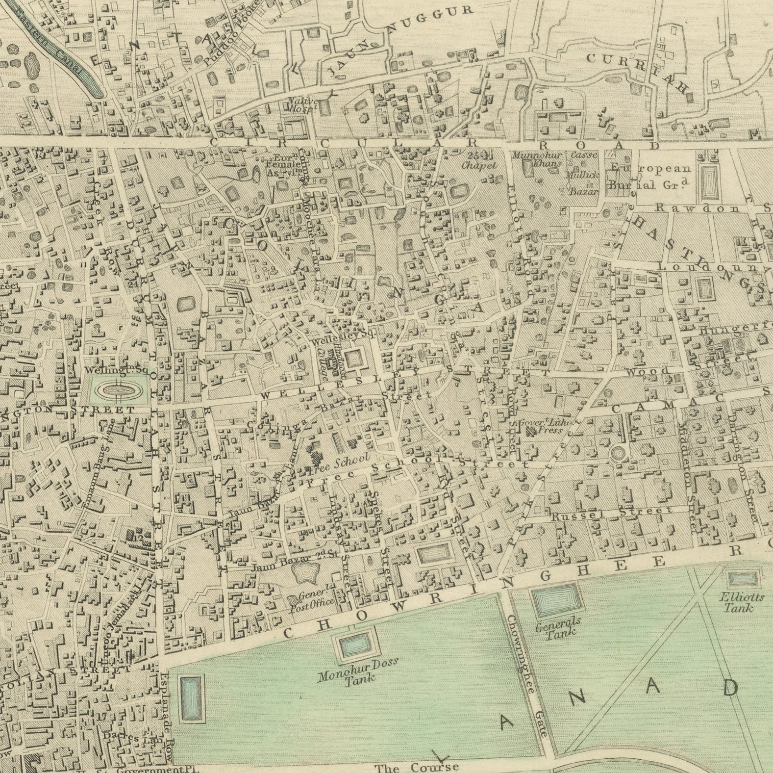
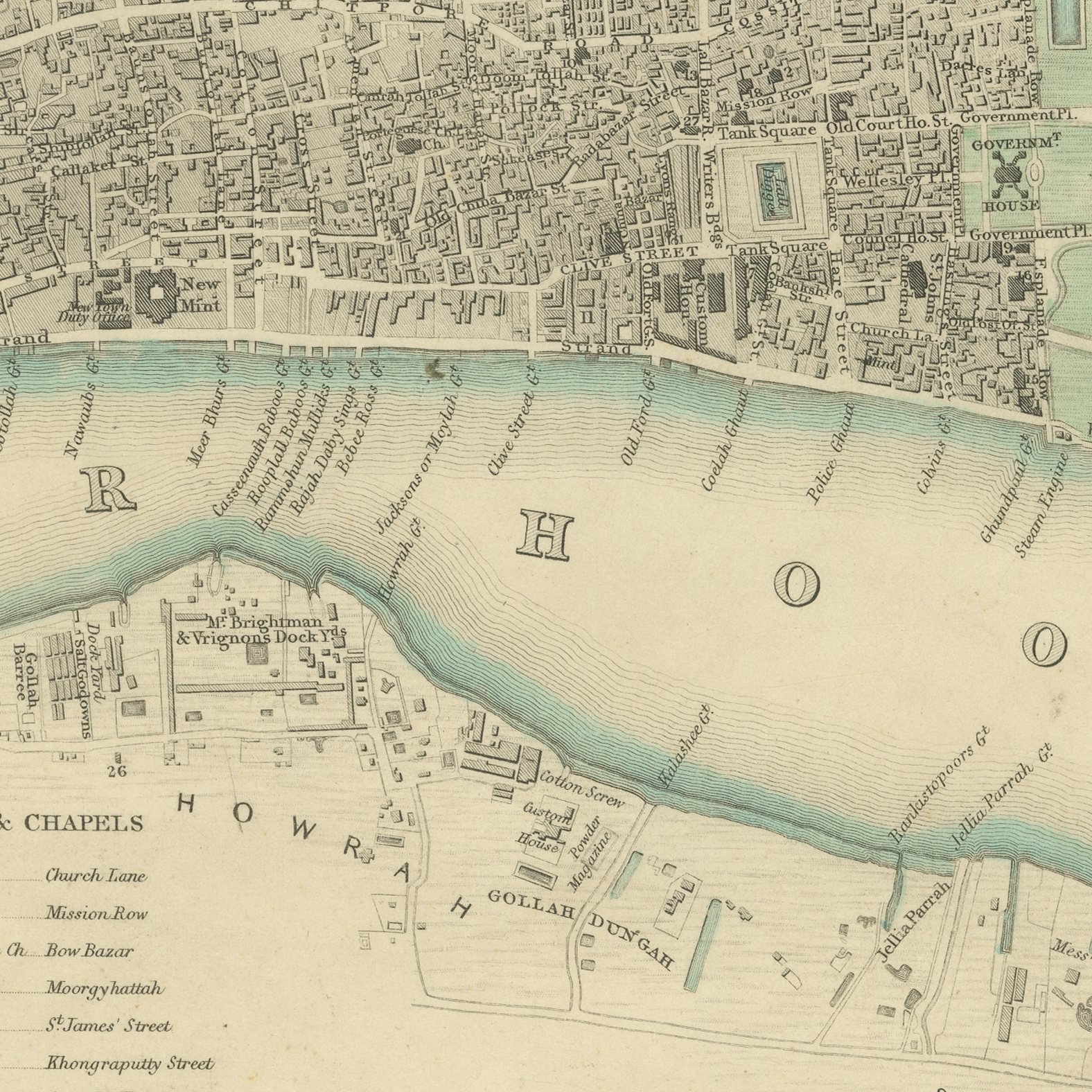
This is an original antique city plan of Calcutta, steel engraved and published in the atlas of the Society for the Diffusion of Useful Knowledge. The plan runs along the Hooghly from the shipping reaches past Fort William and the open Maidan to the dense streets of the native town, with the race ground, the canals and the garden suburbs all marked. Three views are engraved on the sheet: the Writers Buildings, Government House and Esplanade Row. The outline and water coloring is original hand color, applied by the publisher before the sheet was bound into the volume.
The Society for the Diffusion of Useful Knowledge published this as plate number 170 of the third volume of its atlas, the cities and stars volume, through Charles Knight at 22 Ludgate Street in London in 1847. The plans were engraved on steel, which allowed far larger print runs than copper and kept the fine detail crisp across the whole edition.
Calcutta was the capital of British India and the second city of the empire when this plan was made, and the sheet lays out the colonial city and the Indian city side by side without disguising either. Plans of Calcutta from this period are scarce on the market, and the three engraved views make this one of the handsomest of them. Framed simply in dark wood or a plain gilt frame it suits a study, a hallway or a dining room, and it is a natural gift for anyone with a tie to the place.
Light uneven toning, browner toward the edges. Handling soiling along the bottom edge. Scattered light foxing in the margin. All four corners complete.
This is an original antique map, not a modern reproduction. This item is sold unframed.