 The sheet, as you receive it
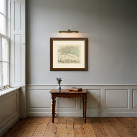
 In the room
Interior designers: BarTrade members buy at their trade price. How it works
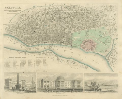
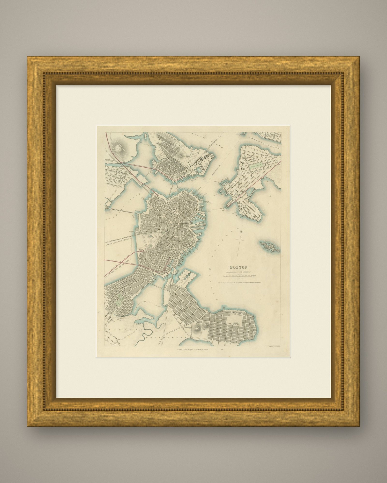
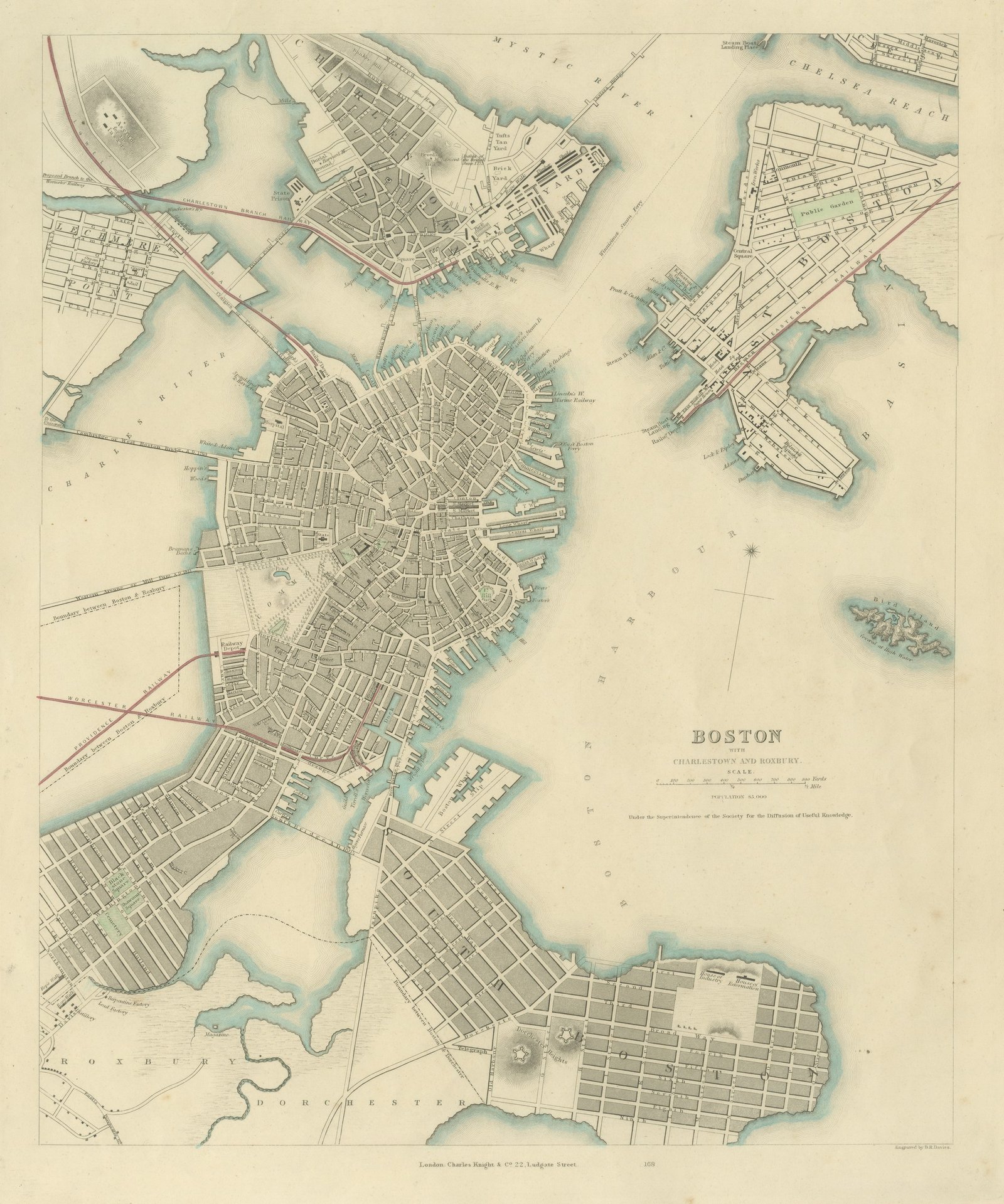
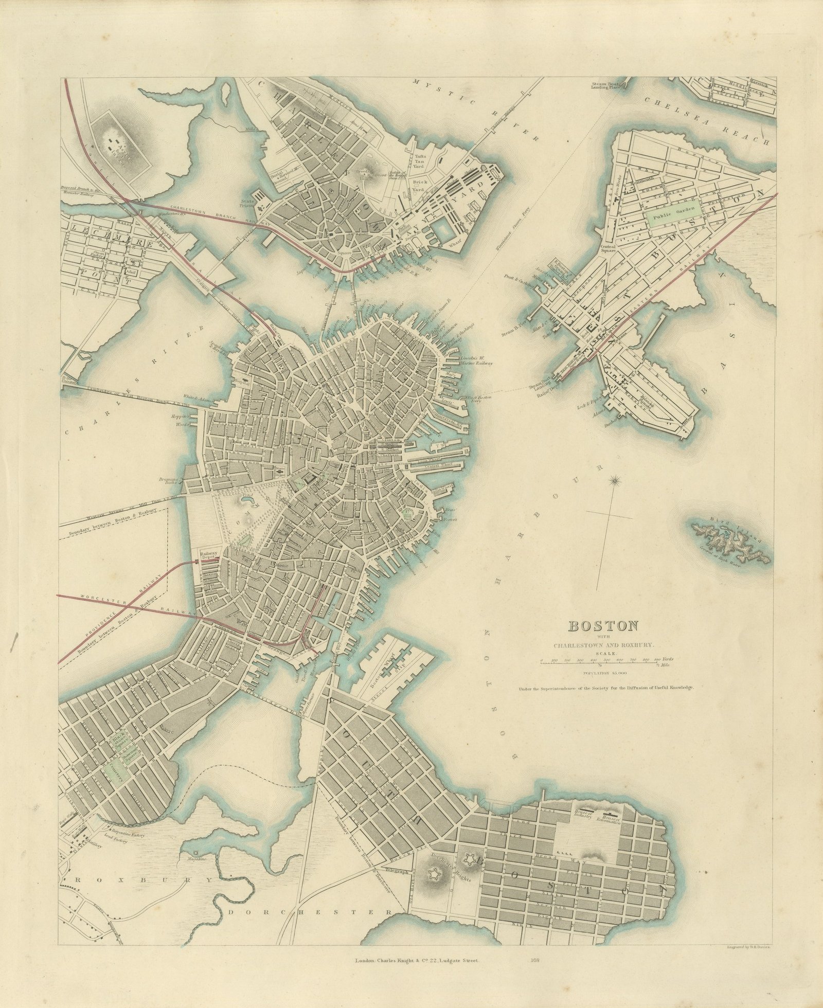
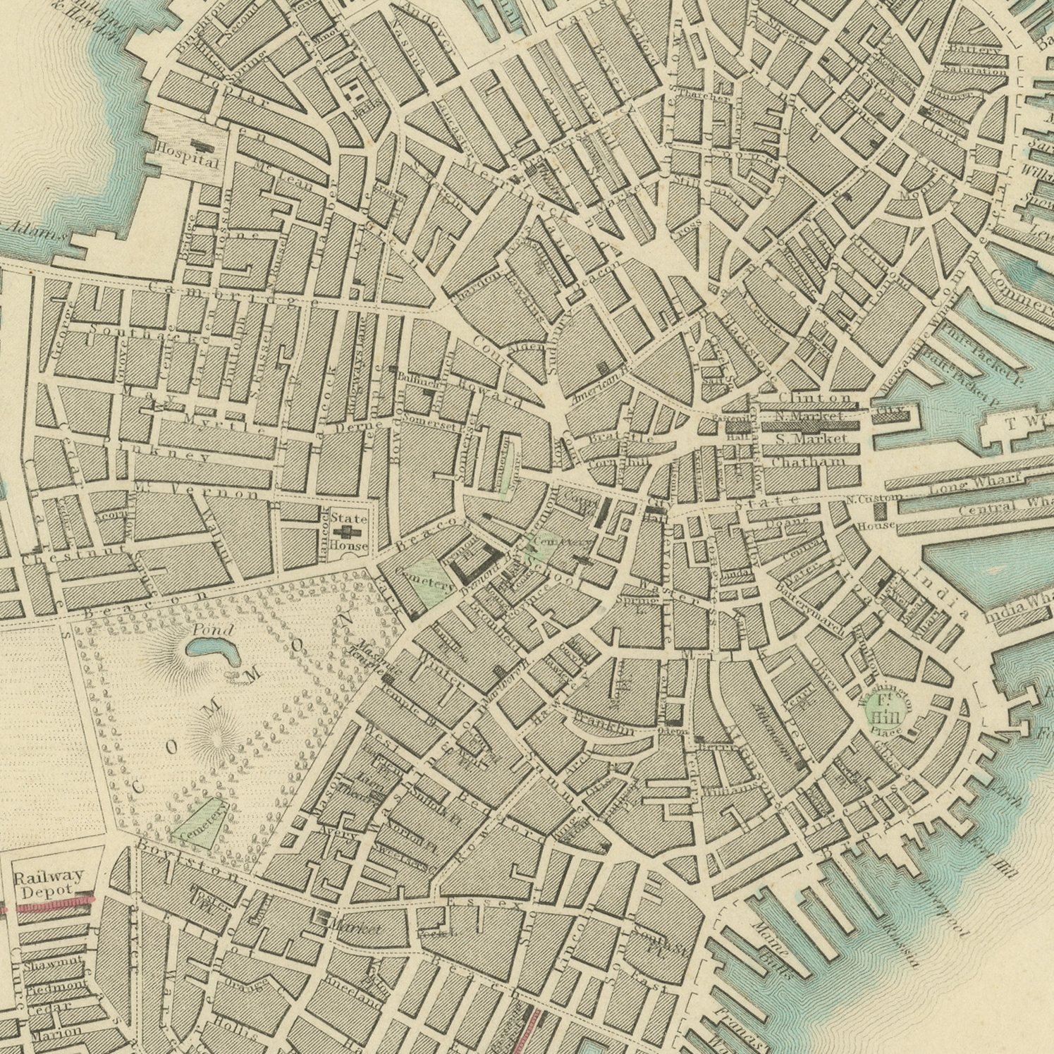
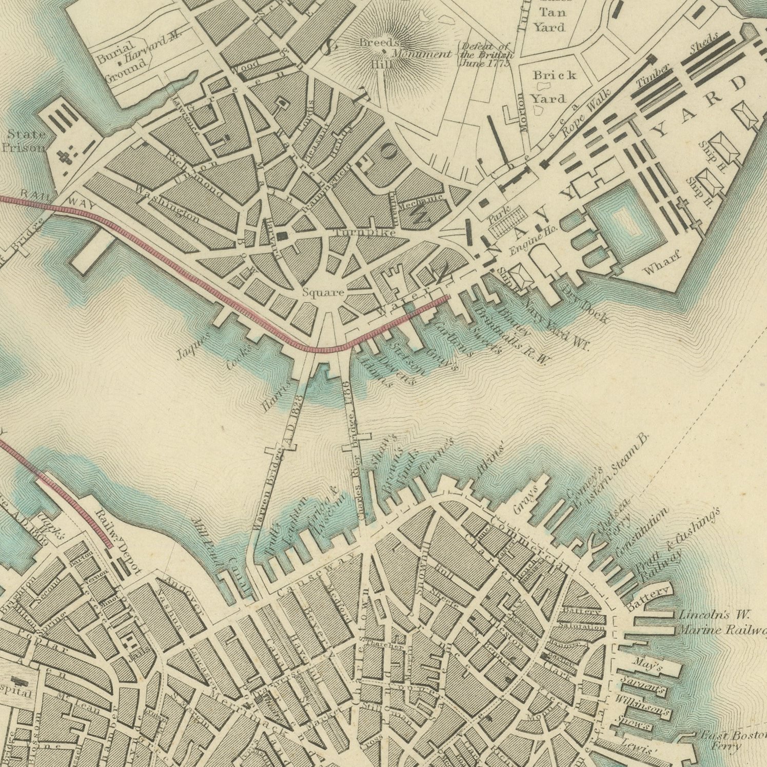
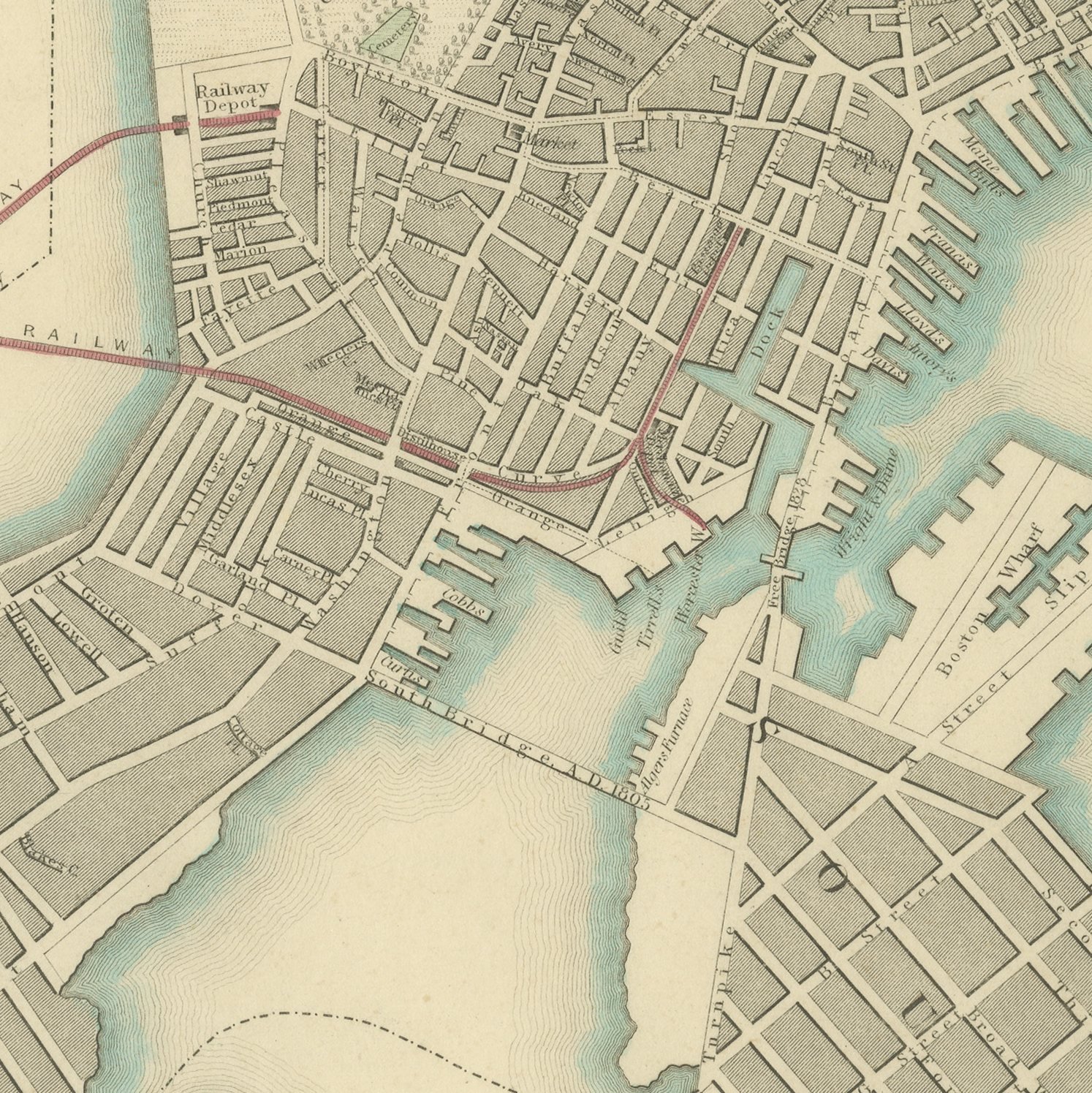
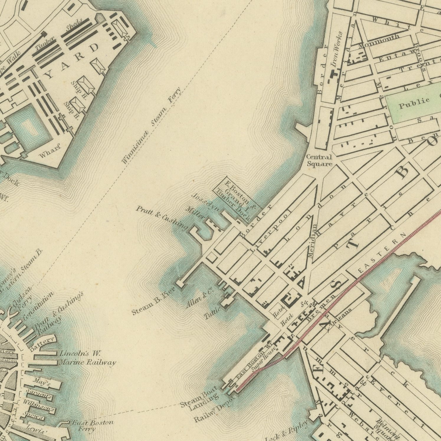
This is an original antique city plan of Boston, steel engraved and published in the atlas of the Society for the Diffusion of Useful Knowledge. The plan covers the Shawmut peninsula with the Common, Beacon Hill and the State House, the wharves running out into the harbor, and the Mill Pond and Back Bay still unfilled. Charlestown with the Bunker Hill monument lies across the river to the north and Roxbury to the south, with the population given as eighty three thousand. The outline and water coloring is original hand color, applied by the publisher before the sheet was bound into the volume.
It carries plate number 168 and belongs to the third volume of the Society for the Diffusion of Useful Knowledge atlas, the volume given over to plans of cities, the stars and the index to places, published by Charles Knight of 22 Ludgate Street in London in 1847. Knight took over the Society's map series and reissued it corrected, so the plates carry a range of dates within one set. The plate is lettered as engraved by B. R. Davies.
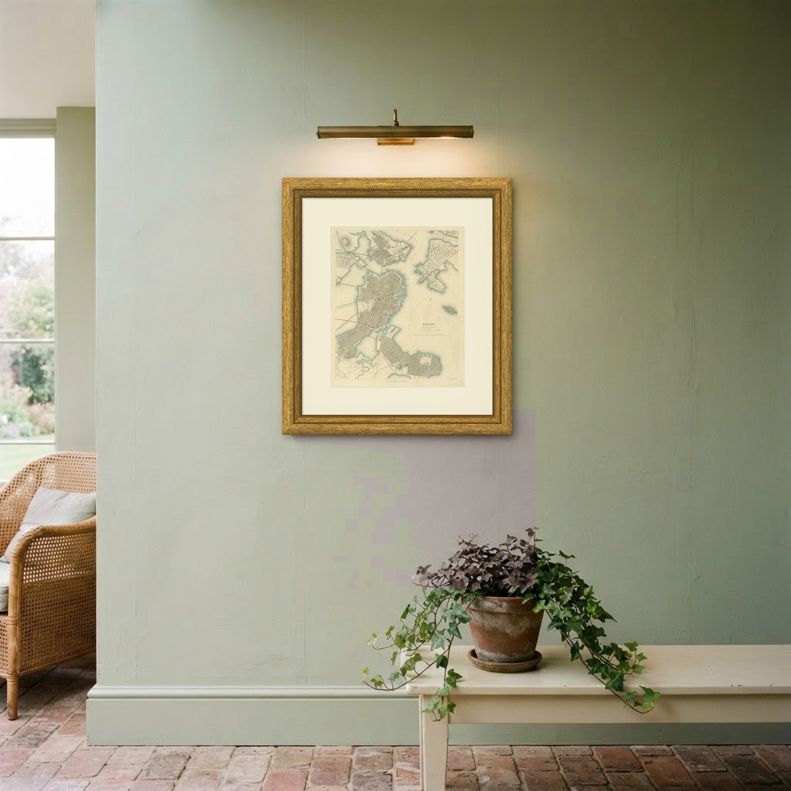
This is Boston before the filling of the Back Bay changed the shape of the city for good, so the narrow neck to Roxbury and the open water west of the Common are both still there to see. American city plans from this English series are much harder to find than the European sheets, and Boston is one of the American plans in the series. Framed simply in dark wood or a plain gilt frame it suits a study, a hallway or a dining room, and it is a natural gift for anyone with a tie to the place.
Light uneven toning, browner toward the edges. Handling soiling along the top edge. Scattered foxing in the margin. All four corners complete.
This is an original antique map, not a modern reproduction. This item is sold unframed.