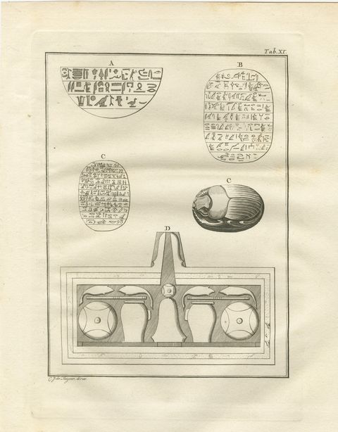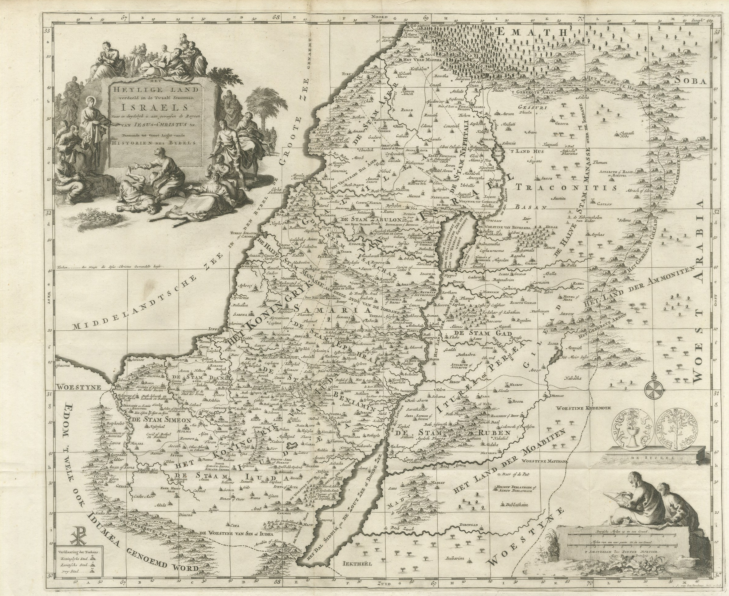
 The sheet, as you receive it
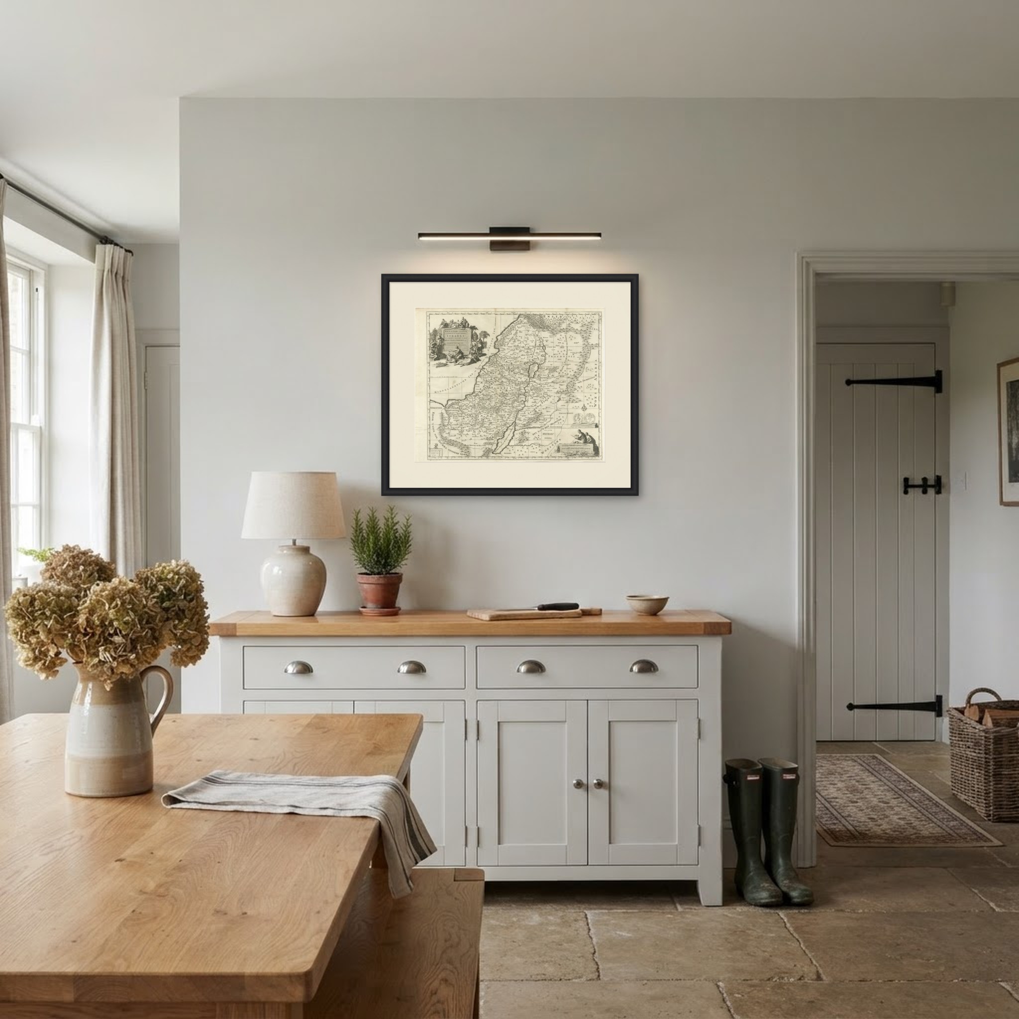
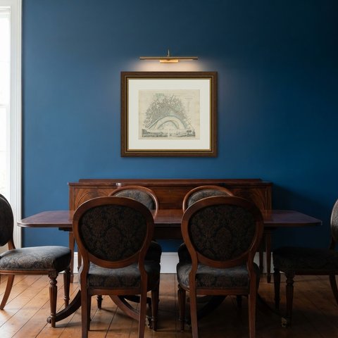
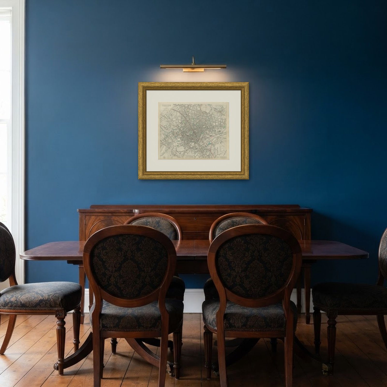 In the room
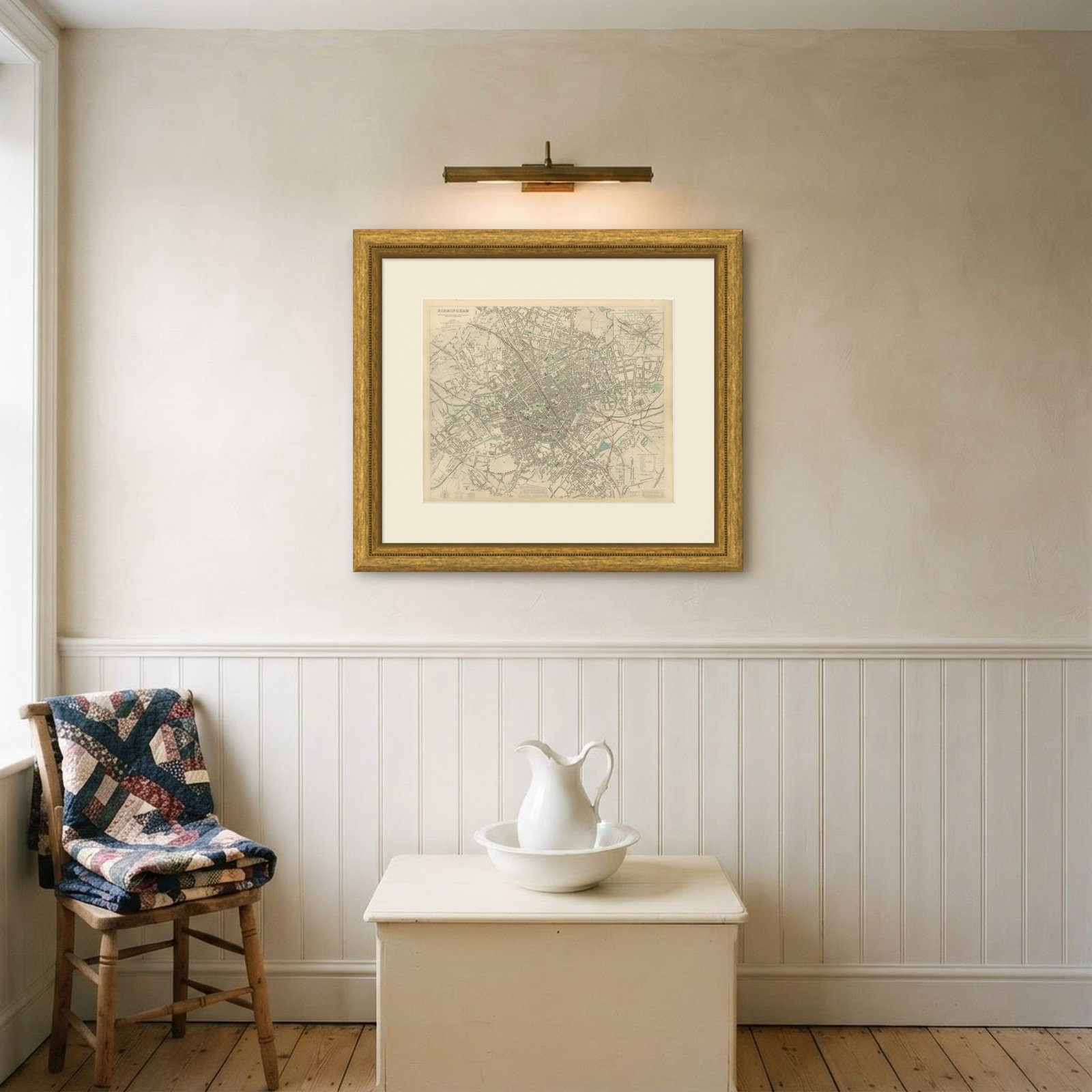
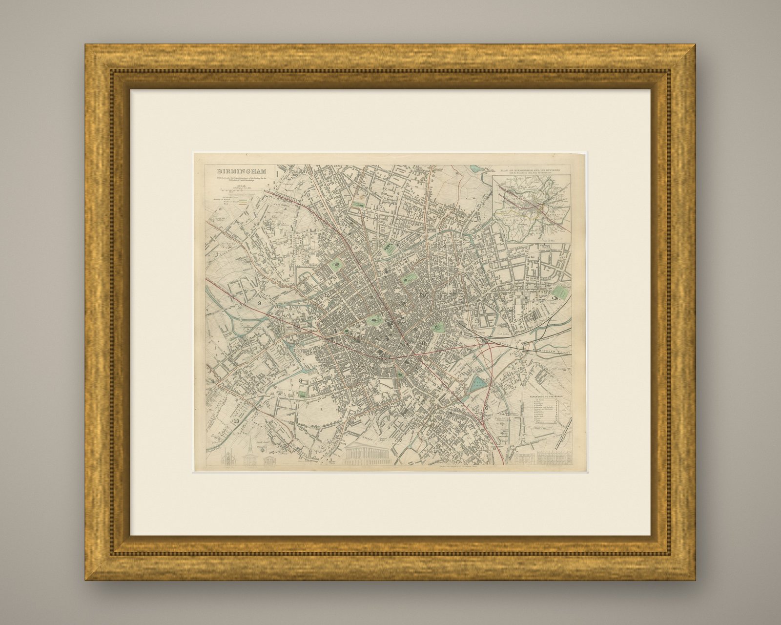
Interior designers: BarTrade members buy at their trade price. How it works
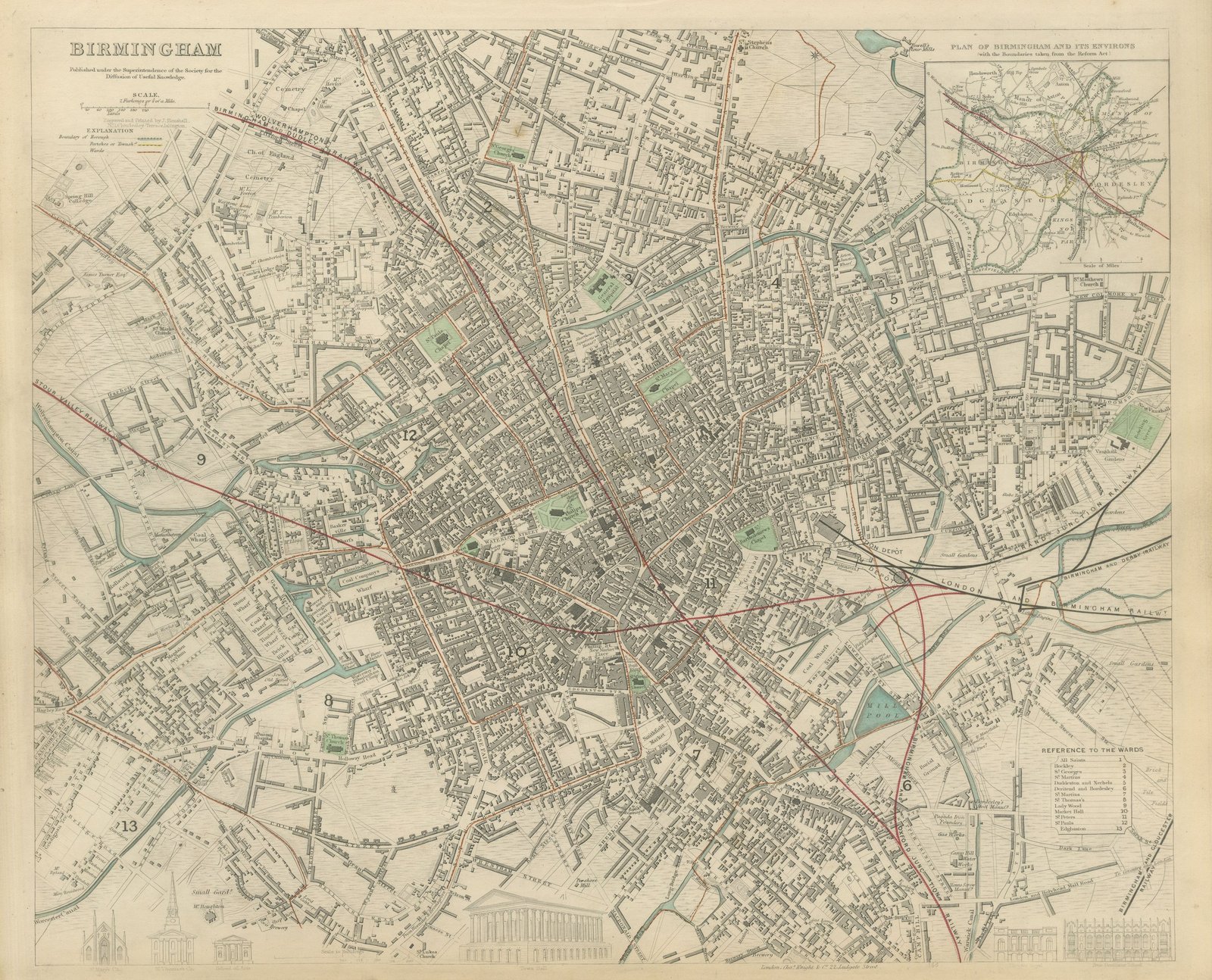
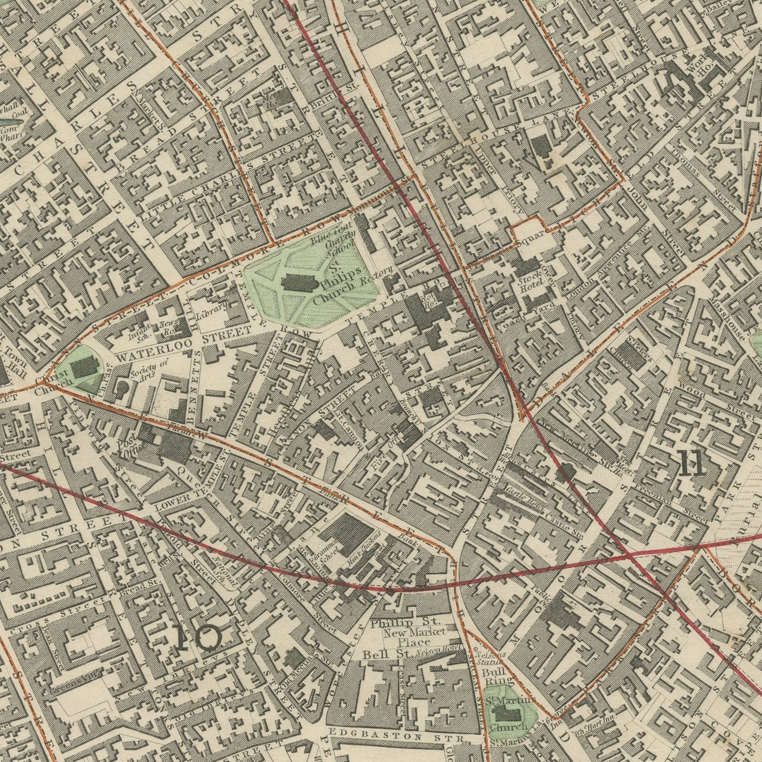
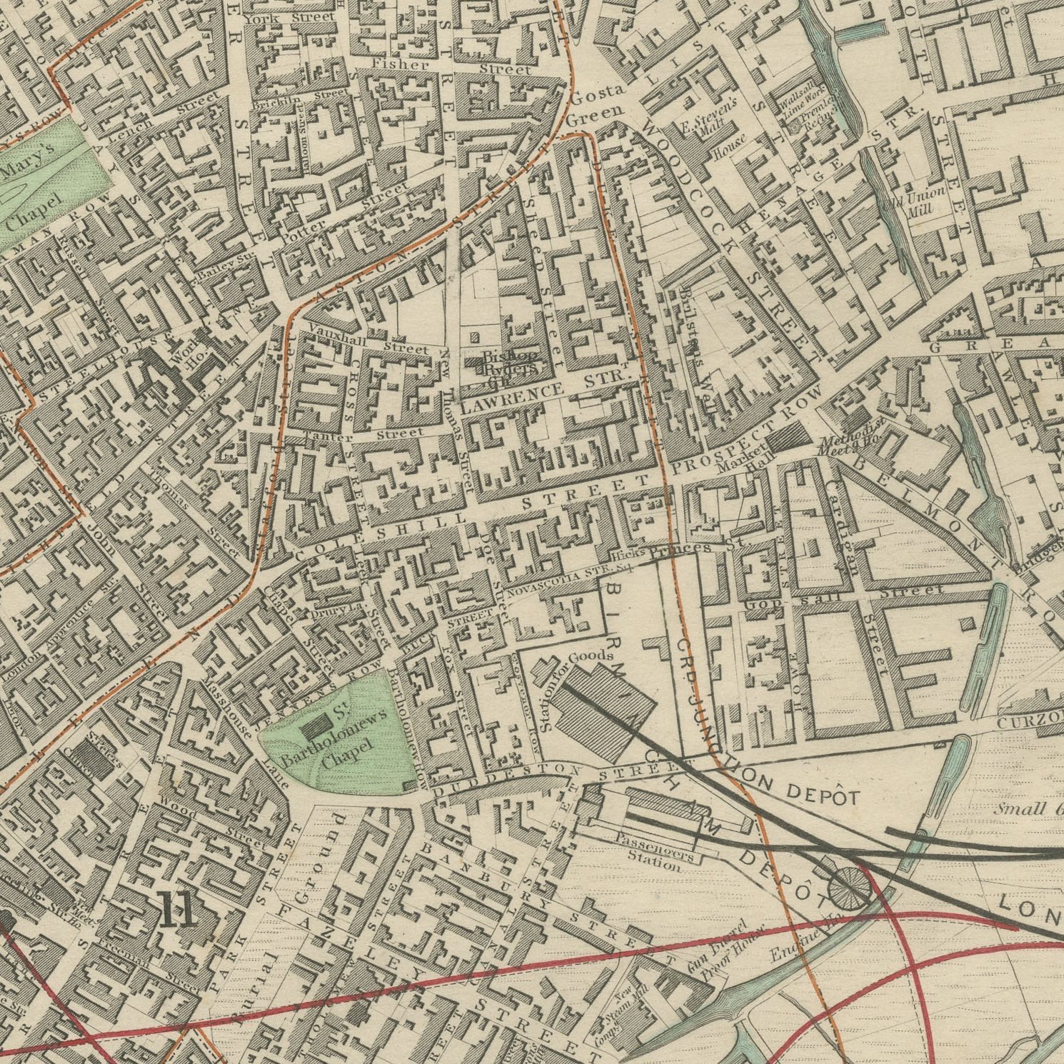
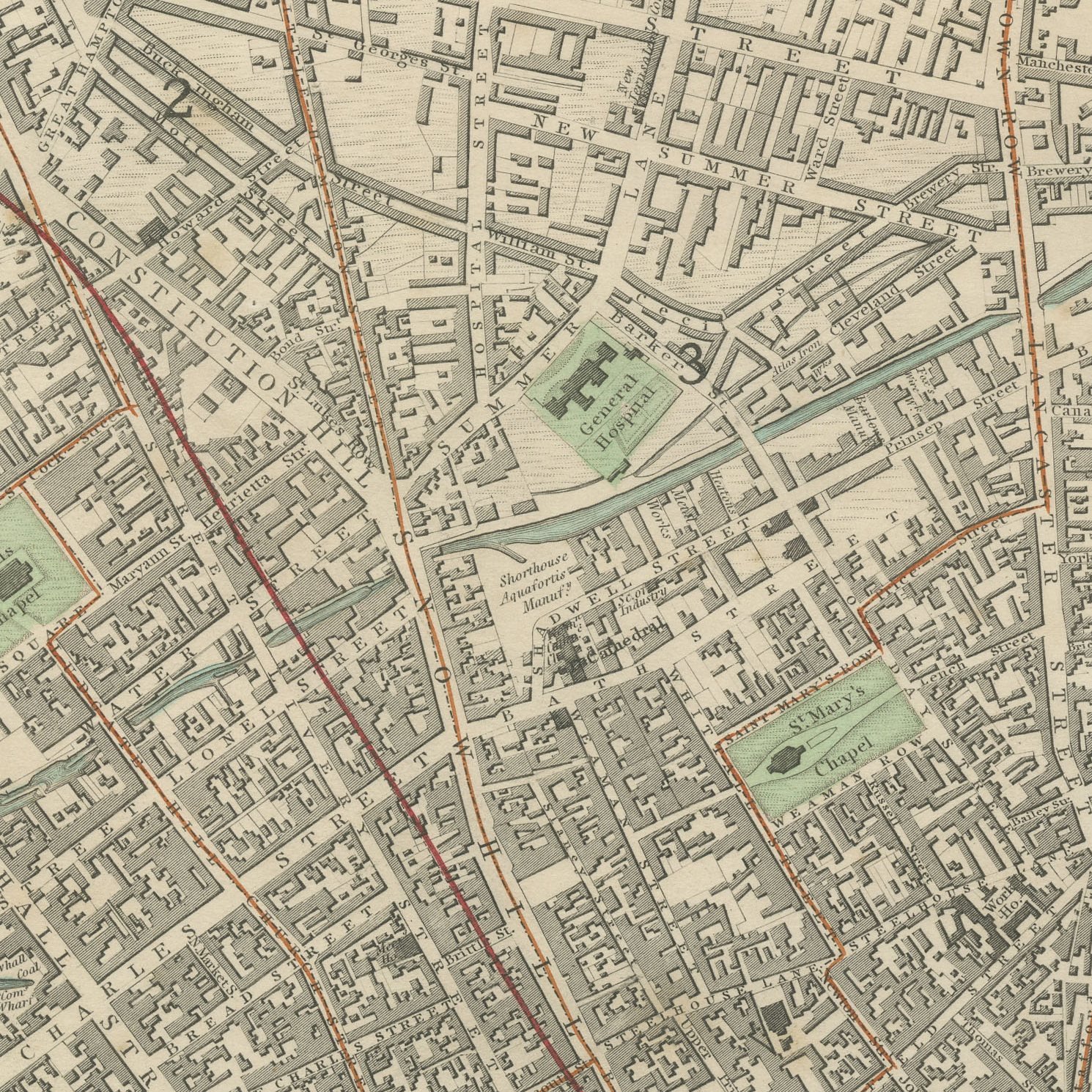
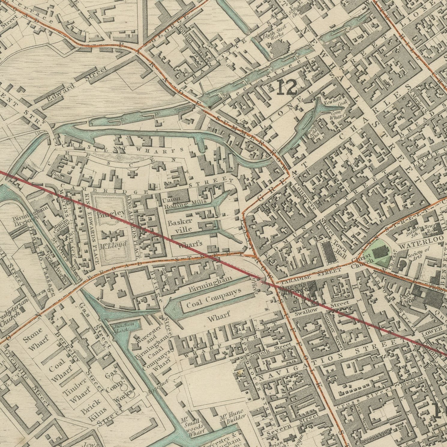
This is an original antique city plan of Birmingham, steel engraved and published in the atlas of the Society for the Diffusion of Useful Knowledge. The plan covers the Victorian town from Saint Philip's and the Town Hall outward through the gun quarter and the canal basins, with the wards numbered and keyed in a reference table. An inset gives the Plan of Birmingham and its Environs with the boundaries taken from the Reform Act, and an elevation of the Town Hall sits at the foot of the sheet. The outline and water coloring is original hand color, applied by the publisher before the sheet was bound into the volume.
It is plate number 166 of the third volume of the Society's atlas, published by Charles Knight and Company, 22 Ludgate Street, London, in 1847. Lord Brougham's Society set out to supply accurate maps at a price a clerk could afford, and the steel engraved city plans it produced between 1830 and 1847 remain the best series of town plans of their generation.
Birmingham was the workshop of the industrial revolution and this plan shows the canal arms and works that made it so, at the moment the railway was arriving. The Reform Act boundaries make it a document of the town's new political weight as well as a street map, which is an unusual pairing to find on one decorative sheet. Framed simply in dark wood or a plain gilt frame it suits a study, a hallway or a dining room, and it is a natural gift for anyone with a tie to the place.
Light uneven toning, browner toward the edges. Marked handling soiling along the bottom, left and right edges. A few small foxing spots in the margin. All four corners complete.
This is an original antique map, not a modern reproduction. This item is sold unframed.