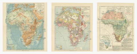
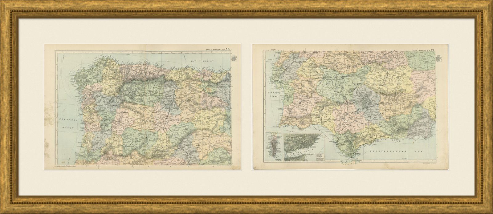
 The sheet, as you receive it
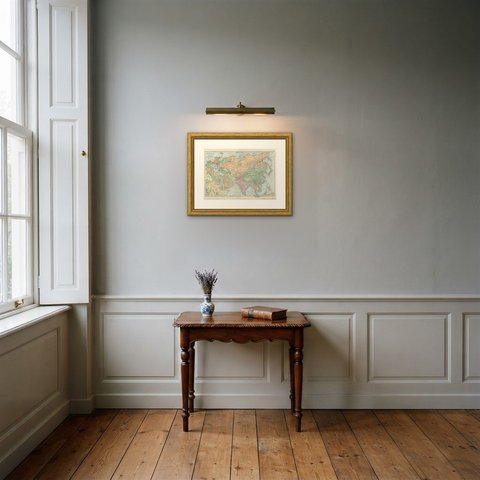
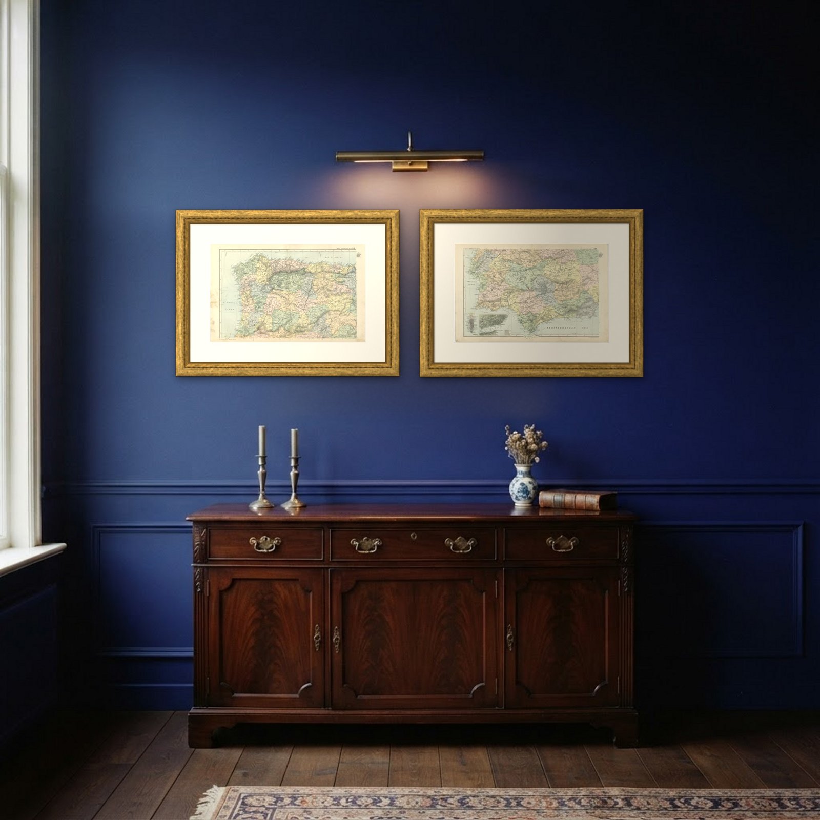
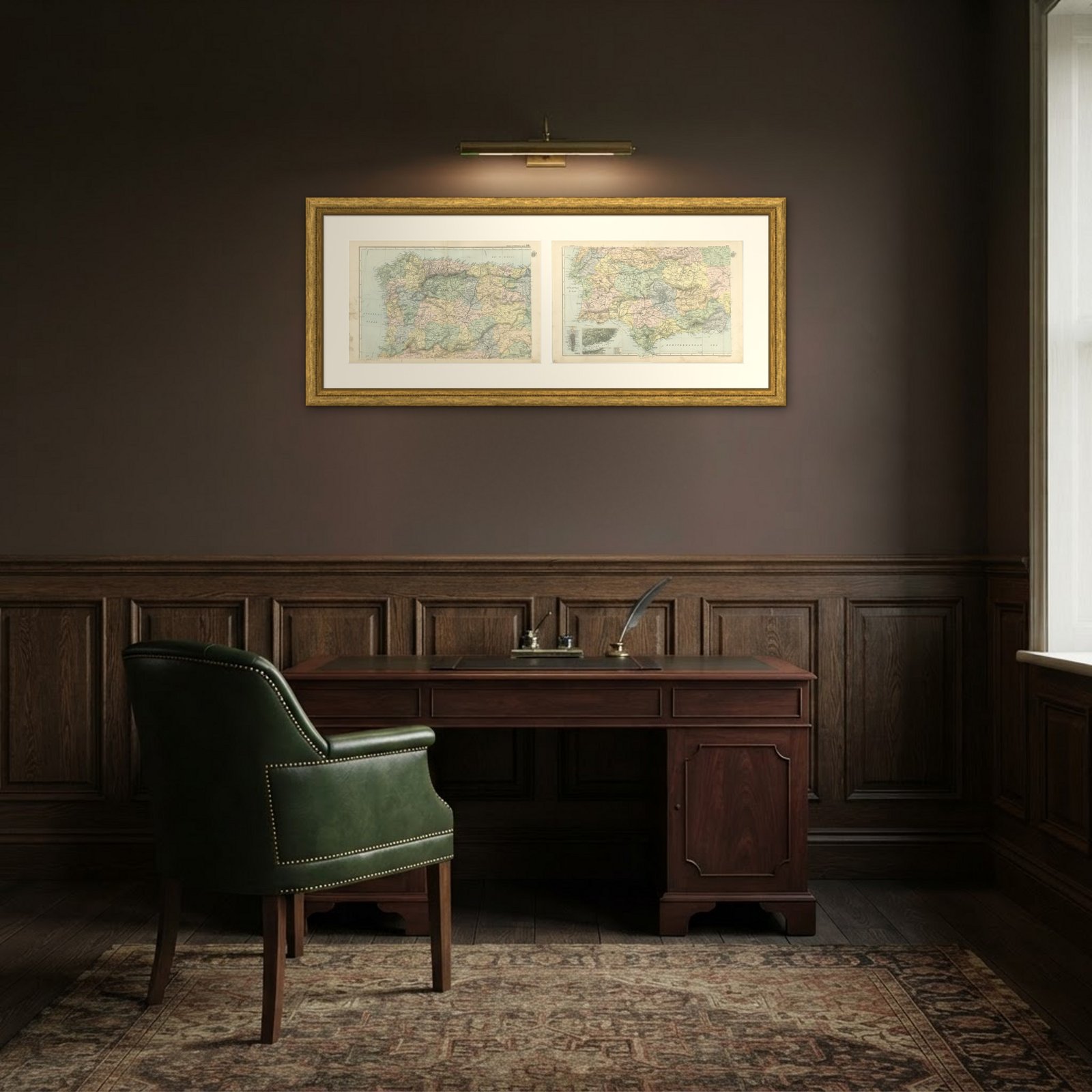 In the room 1
Interior designers: BarTrade members buy at their trade price. How it works
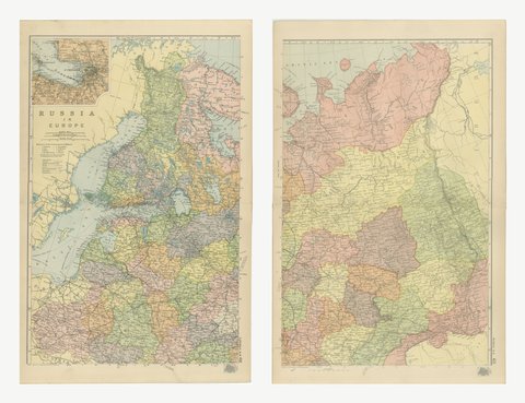
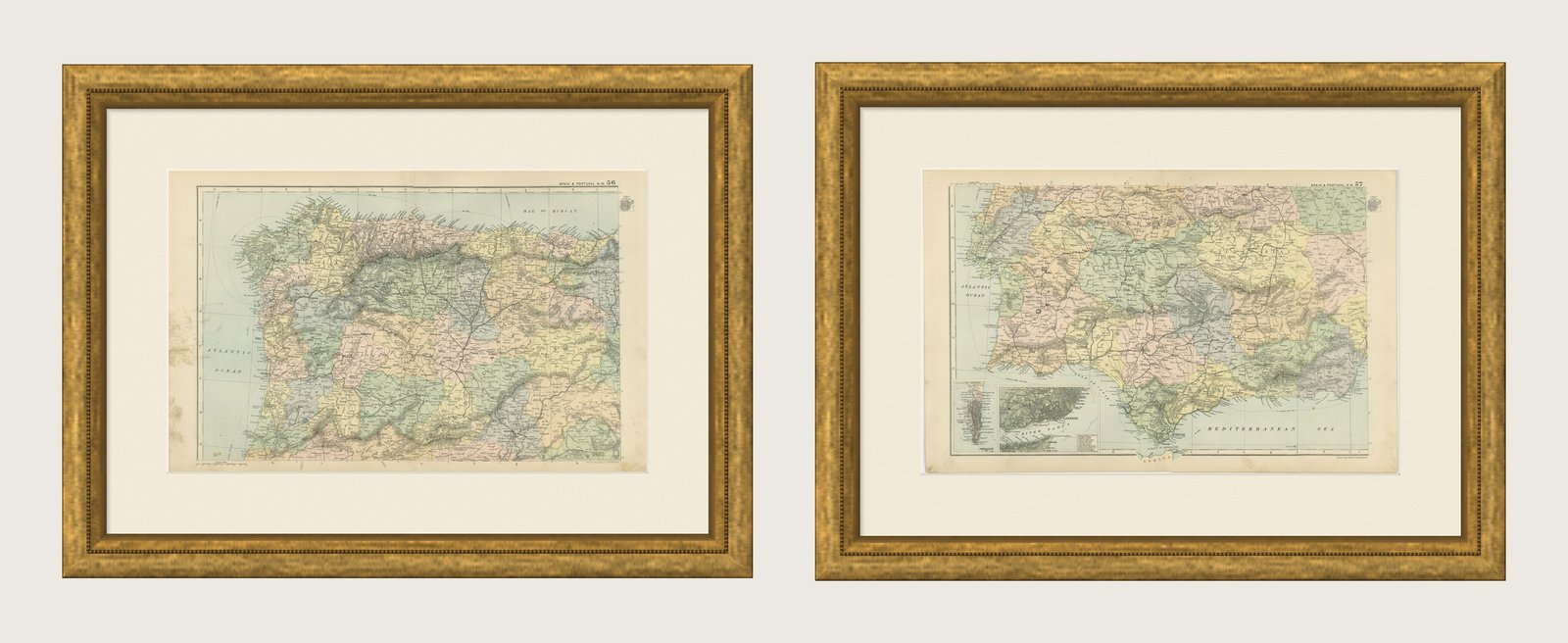
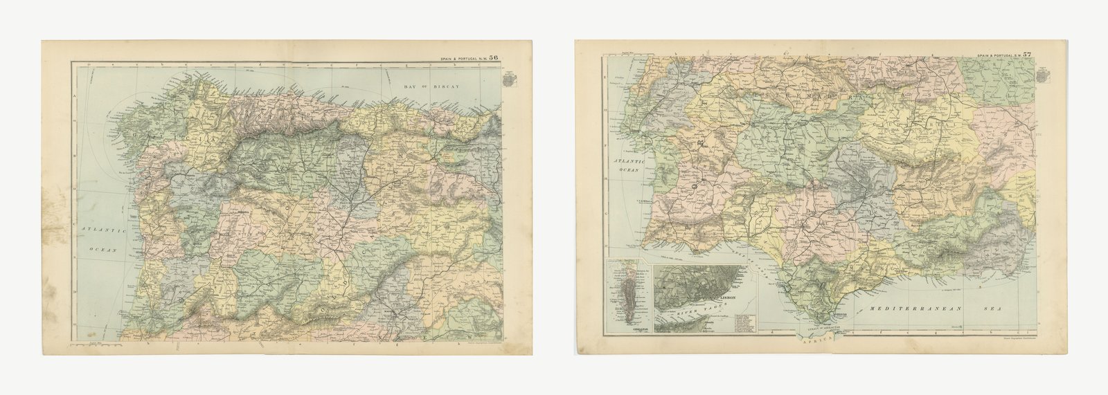
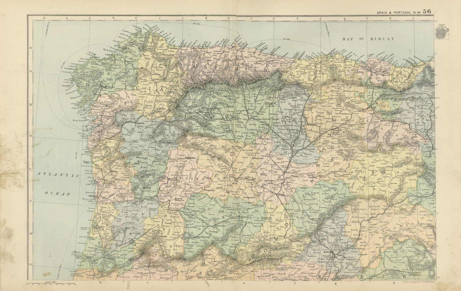
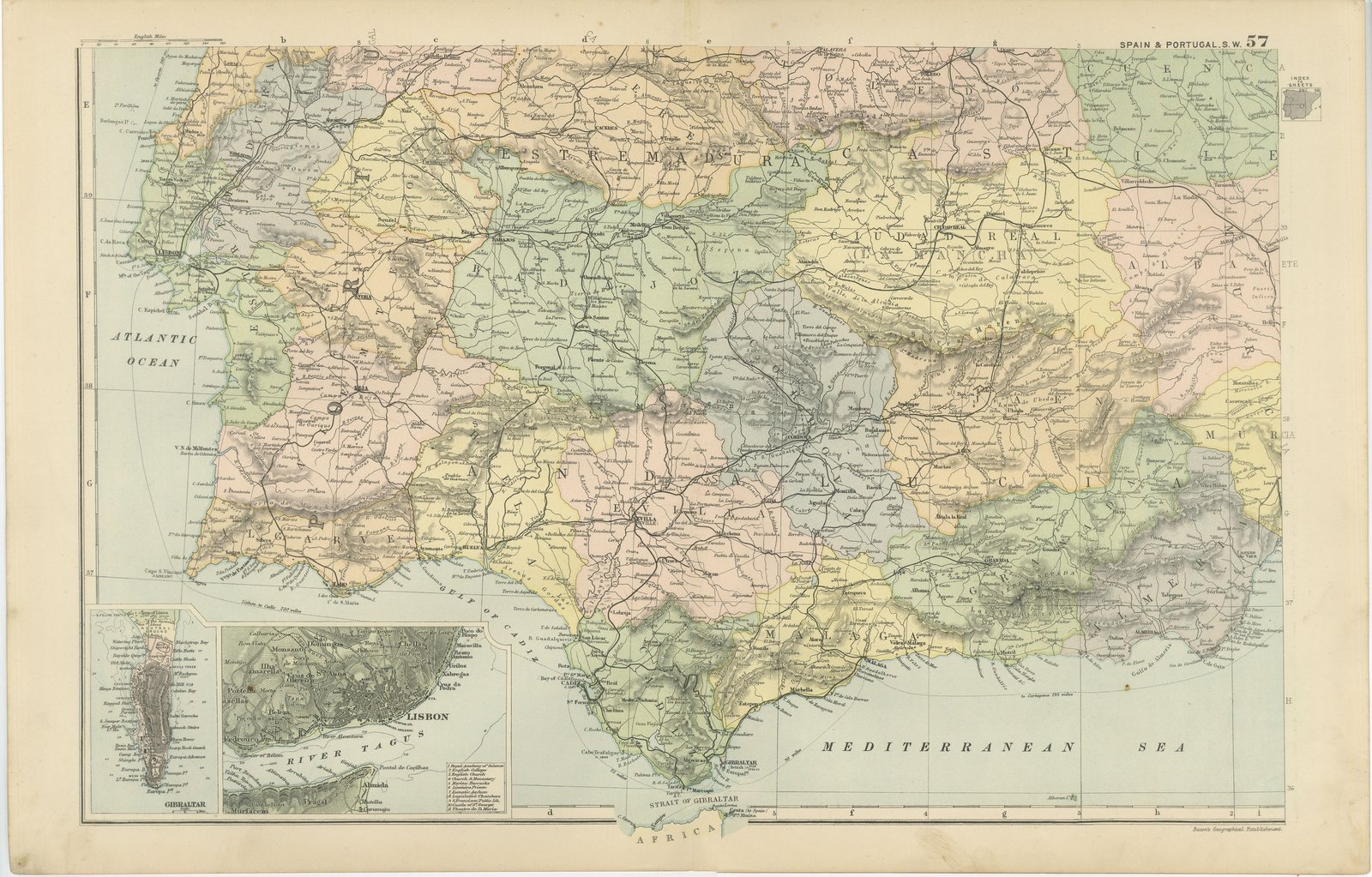
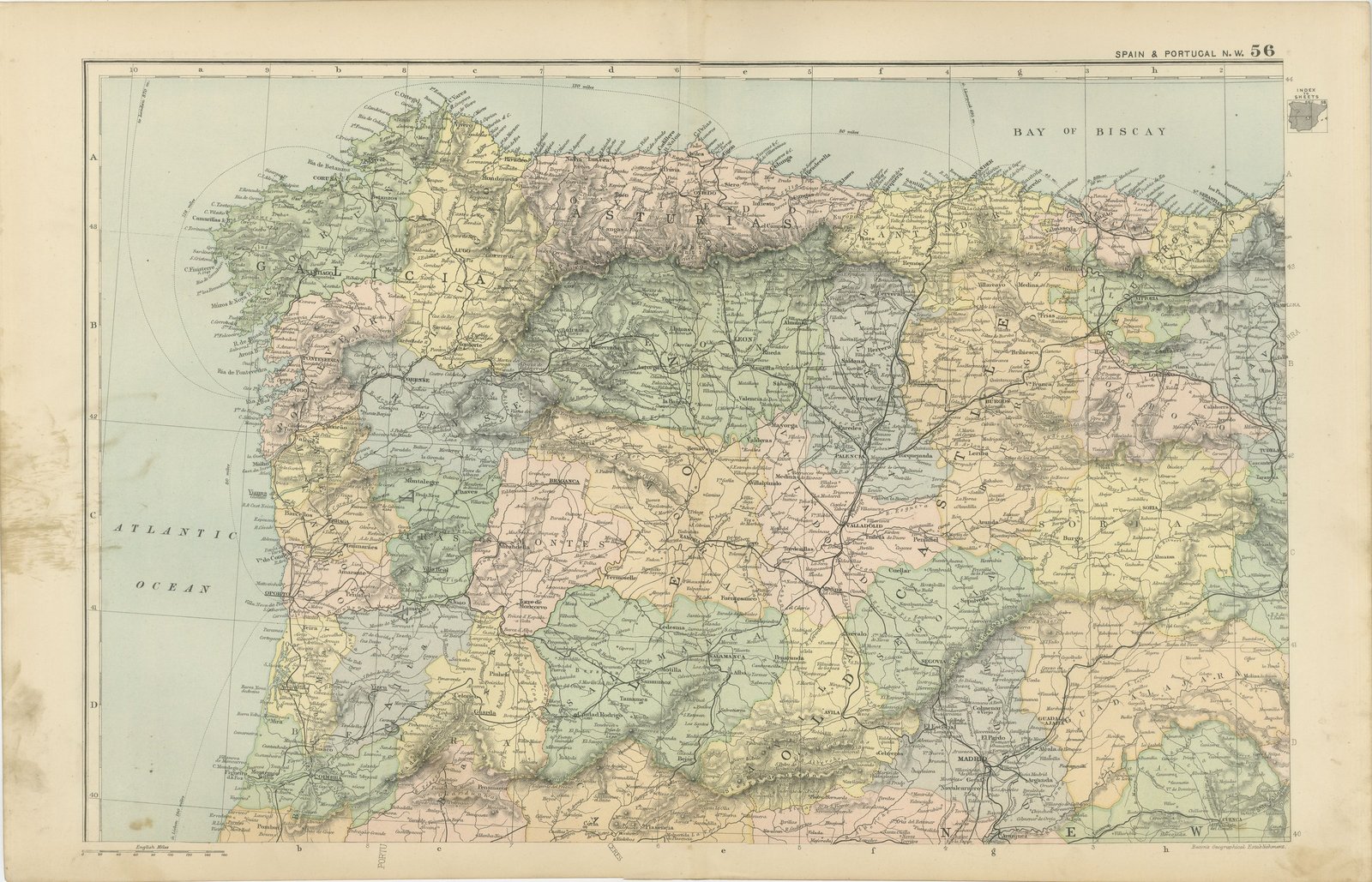
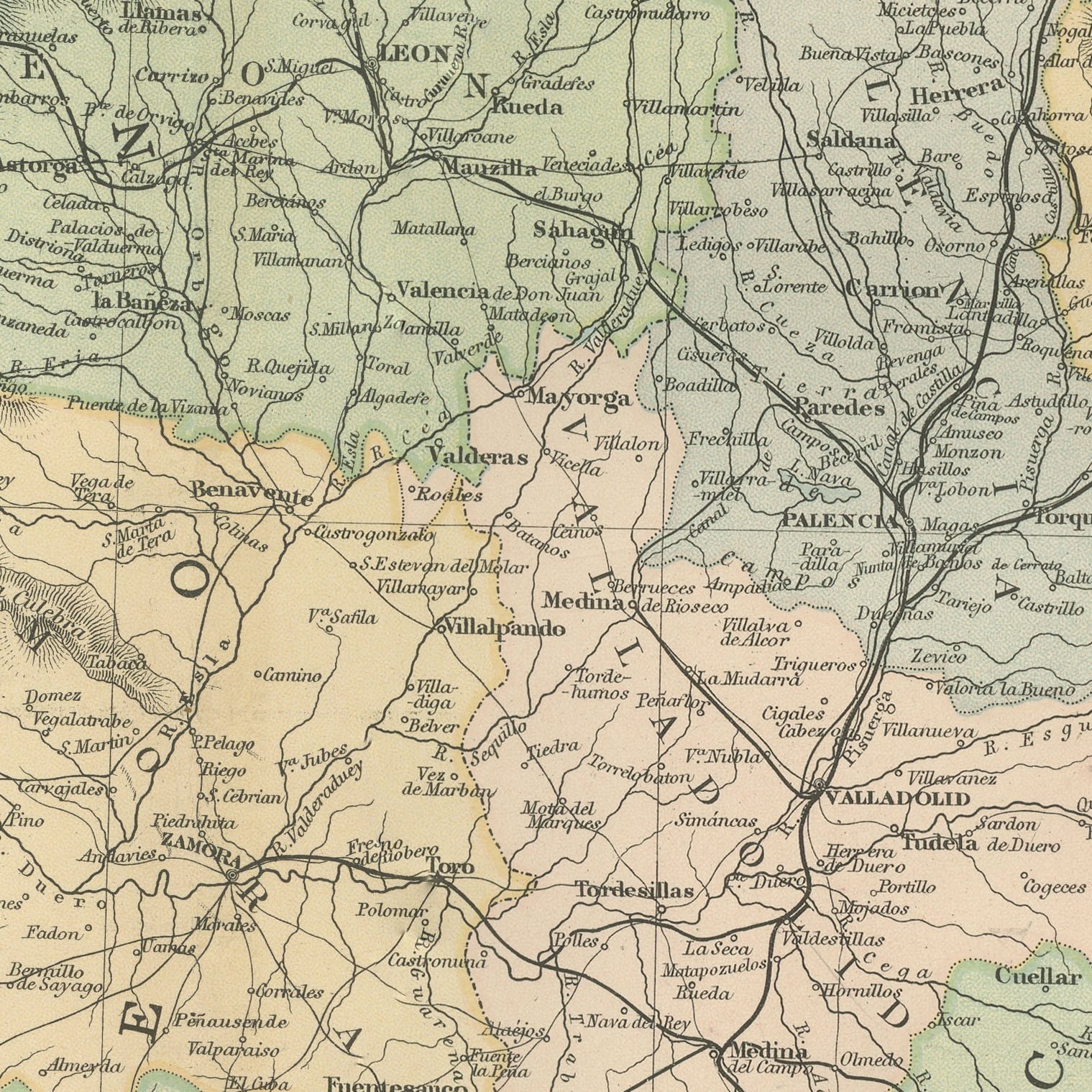
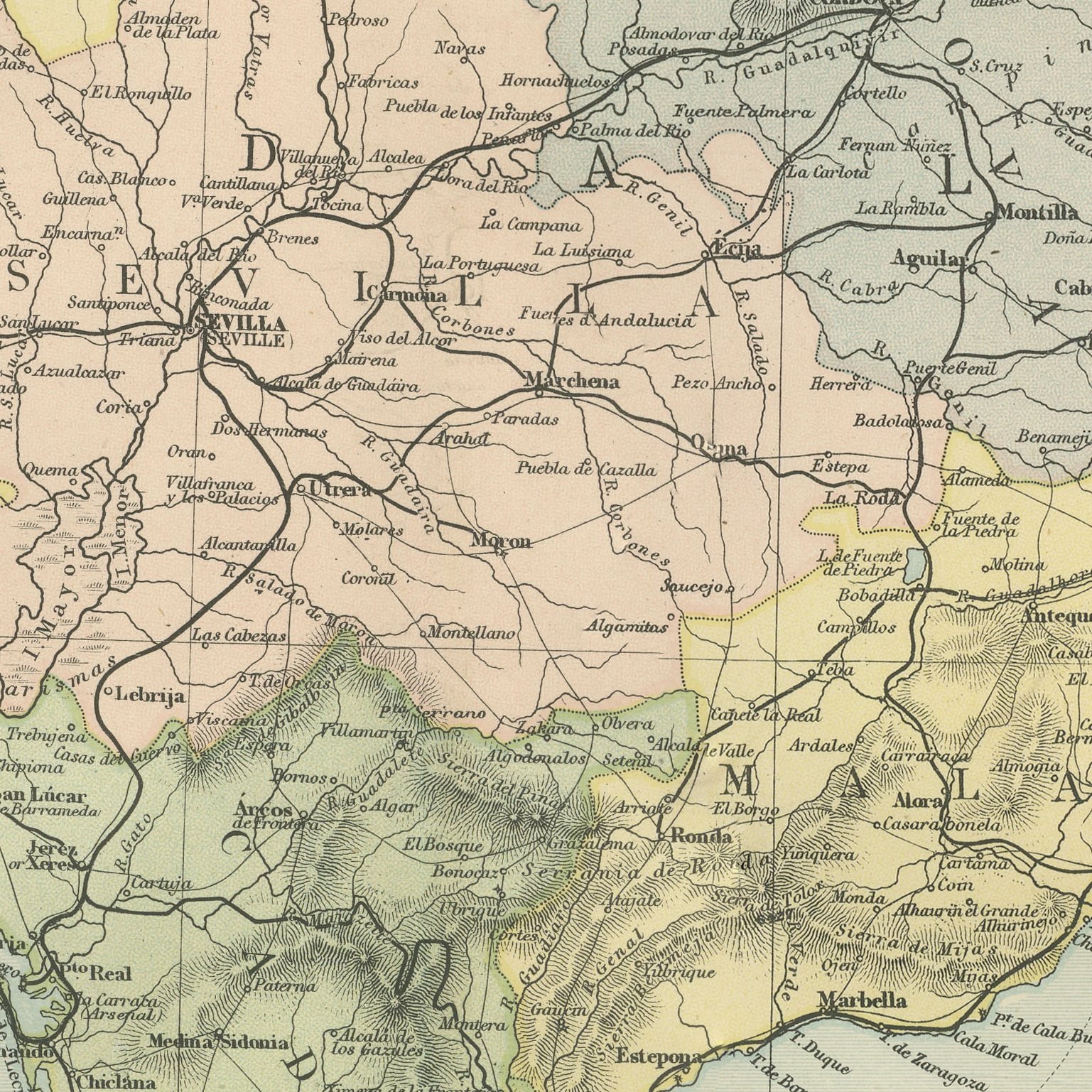
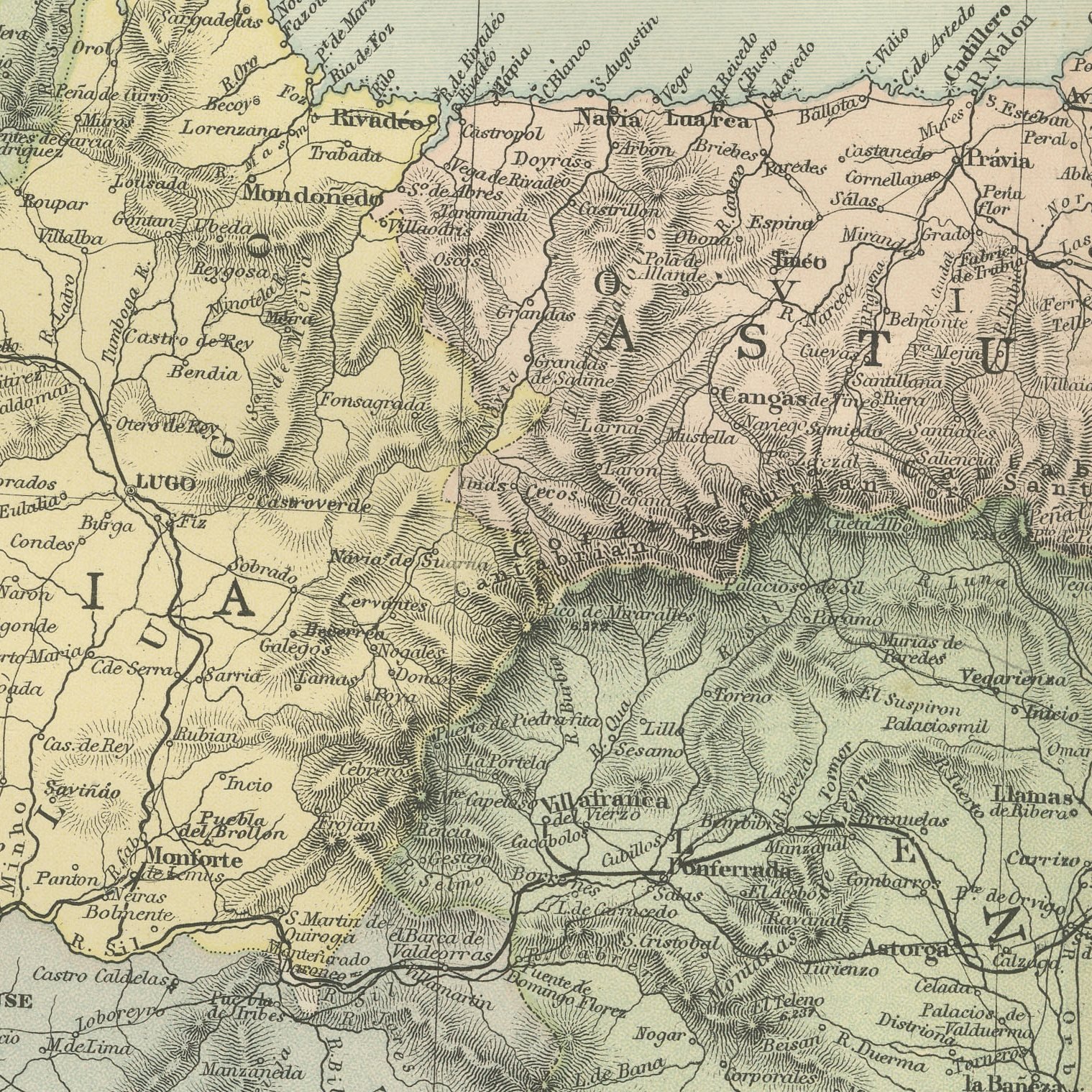
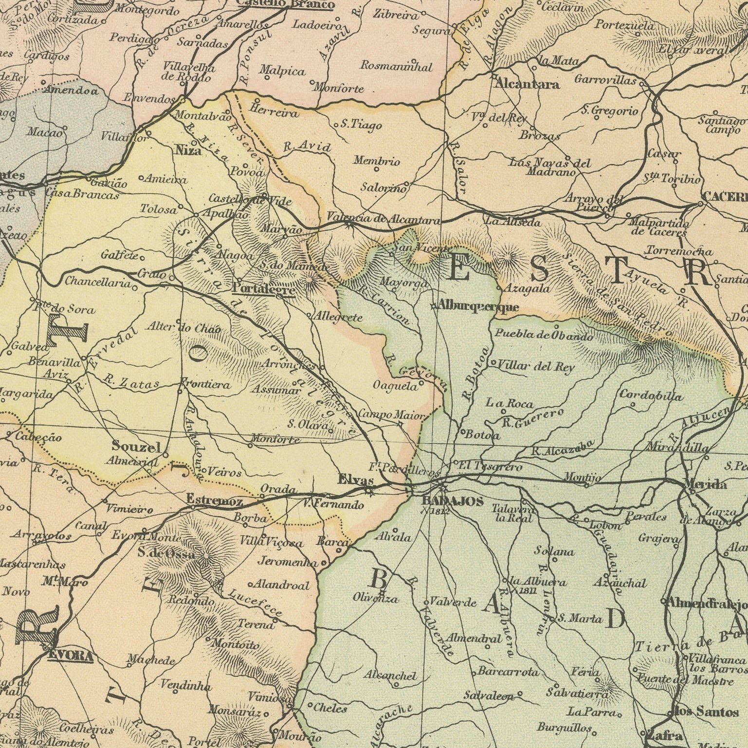
Two original antique maps that join to form the western half of the Iberian peninsula, color printed in London in 1898 for G. W. Bacon's Commercial and Library Atlas of the World. These are two original sheets sold together as one set and are not offered separately. The northern sheet covers Galicia, Asturias, Leon, Old Castile and northern Portugal with Oporto; the southern sheet continues through Estremadura, Andalusia and the Algarve, with inset plans of Gibraltar and of Lisbon with the Tagus. Spanish provinces and Portuguese districts are separately colored and the railways are drawn in full.
The plate belongs to the 1898 edition of Bacon's Commercial and Library Atlas of the World with Index-Gazetteer, edited by G. W. Bacon of 127 Strand, London. Printed and colored at Bacon's Geographical Establishment, the atlas set out one hundred double page maps and one hundred inset maps, and its purpose was practical: it recorded the political world as the Victorians left it, a year after the Diamond Jubilee and a year before the South African War.
Lisbon is plotted with its river and docks seven years before the monarchy began to fall apart, and the Gibraltar inset shows the Rock with its fortifications and the neutral ground at a moment when the British Mediterranean fleet depended on it. Andalusian and Portuguese village names are given in full, which is what family researchers need.
Two sheets, both age toned. The paper darker along the edges of both. Gray handling soiling in the margins of plate 56. Handling wear to the corners of plate 57. The printed images are clean.
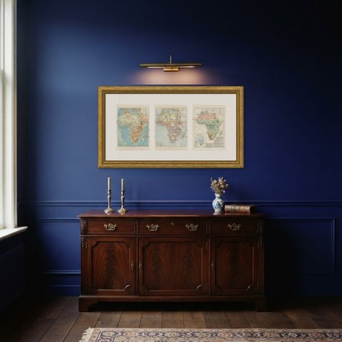
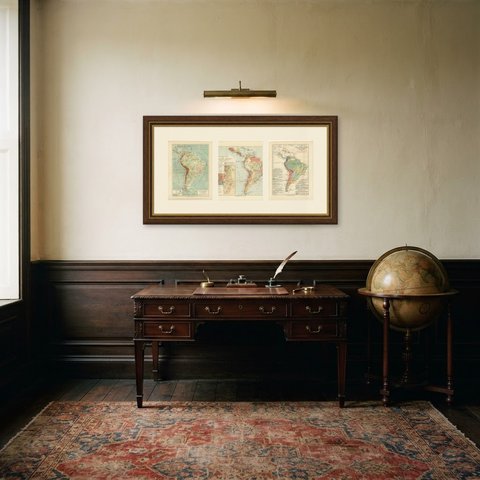
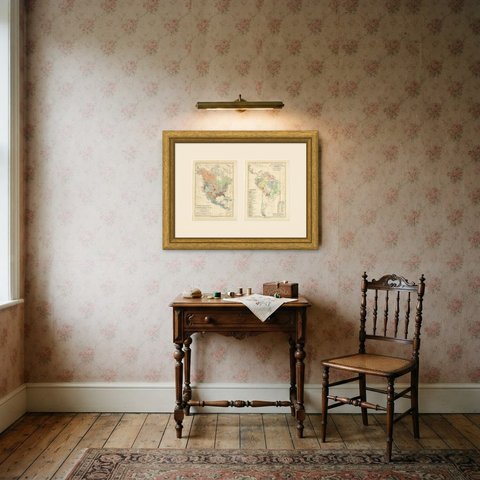
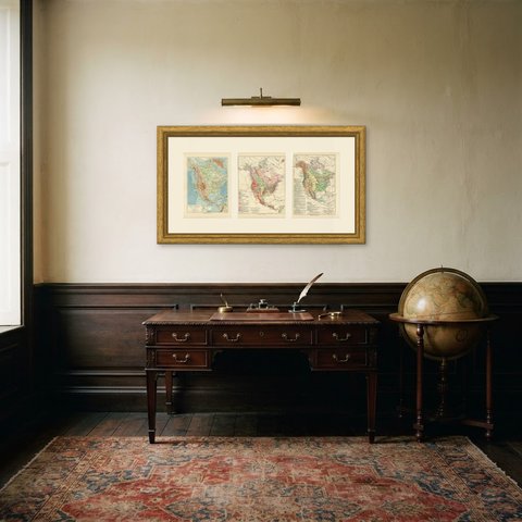
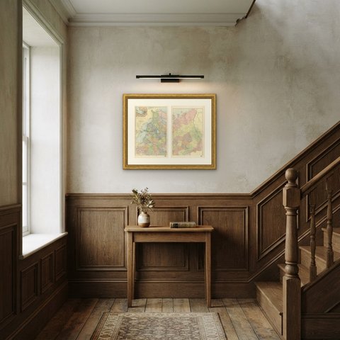
Framed simply, a sheet of this size holds a wall on its own, and the clear color printing reads well across a room. It suits a study, a library, an office or a hallway, and it is an easy gift for anyone with a connection to the place it shows. These are original antique maps, not modern reproductions. This item is sold unframed.