 The sheet, as you receive it
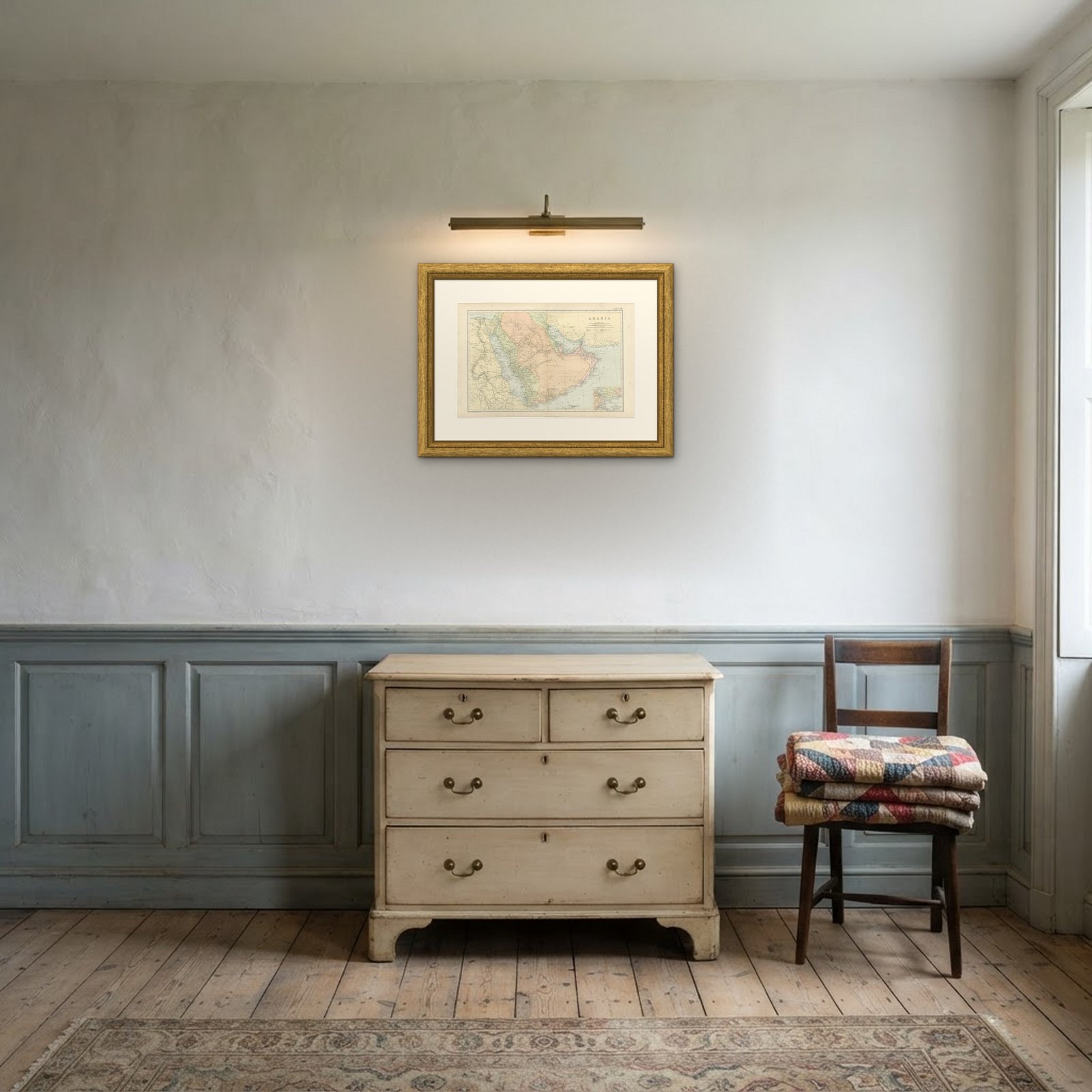 In the room
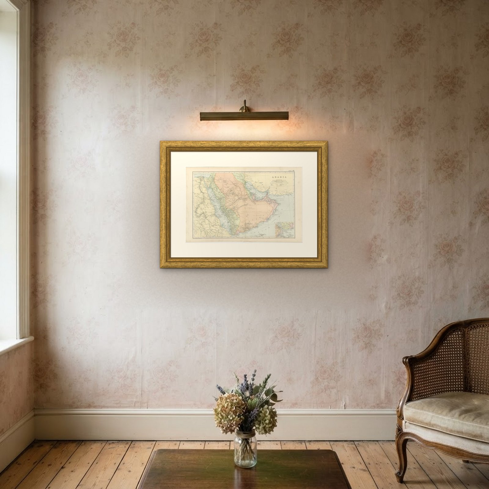

Interior designers: BarTrade members buy at their trade price. How it works
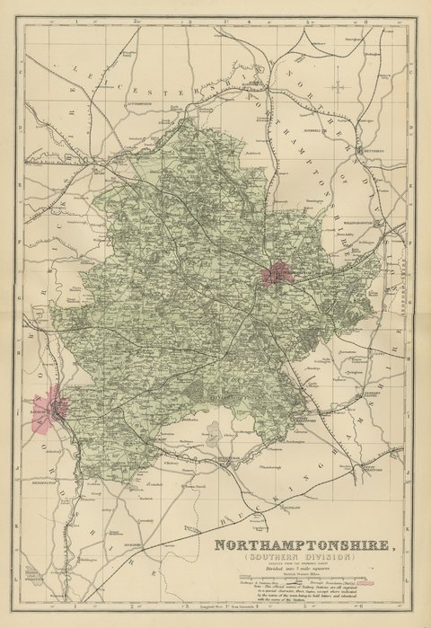
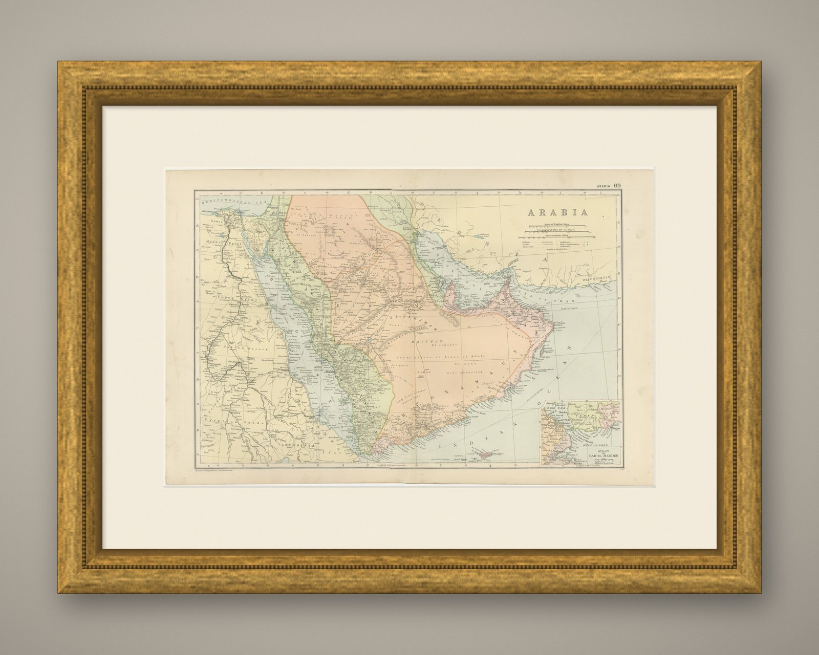
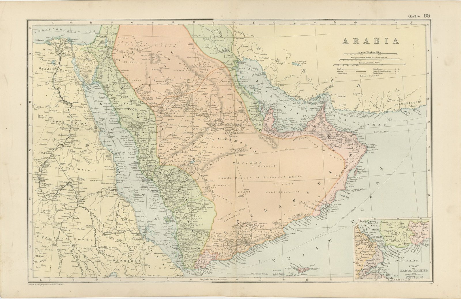
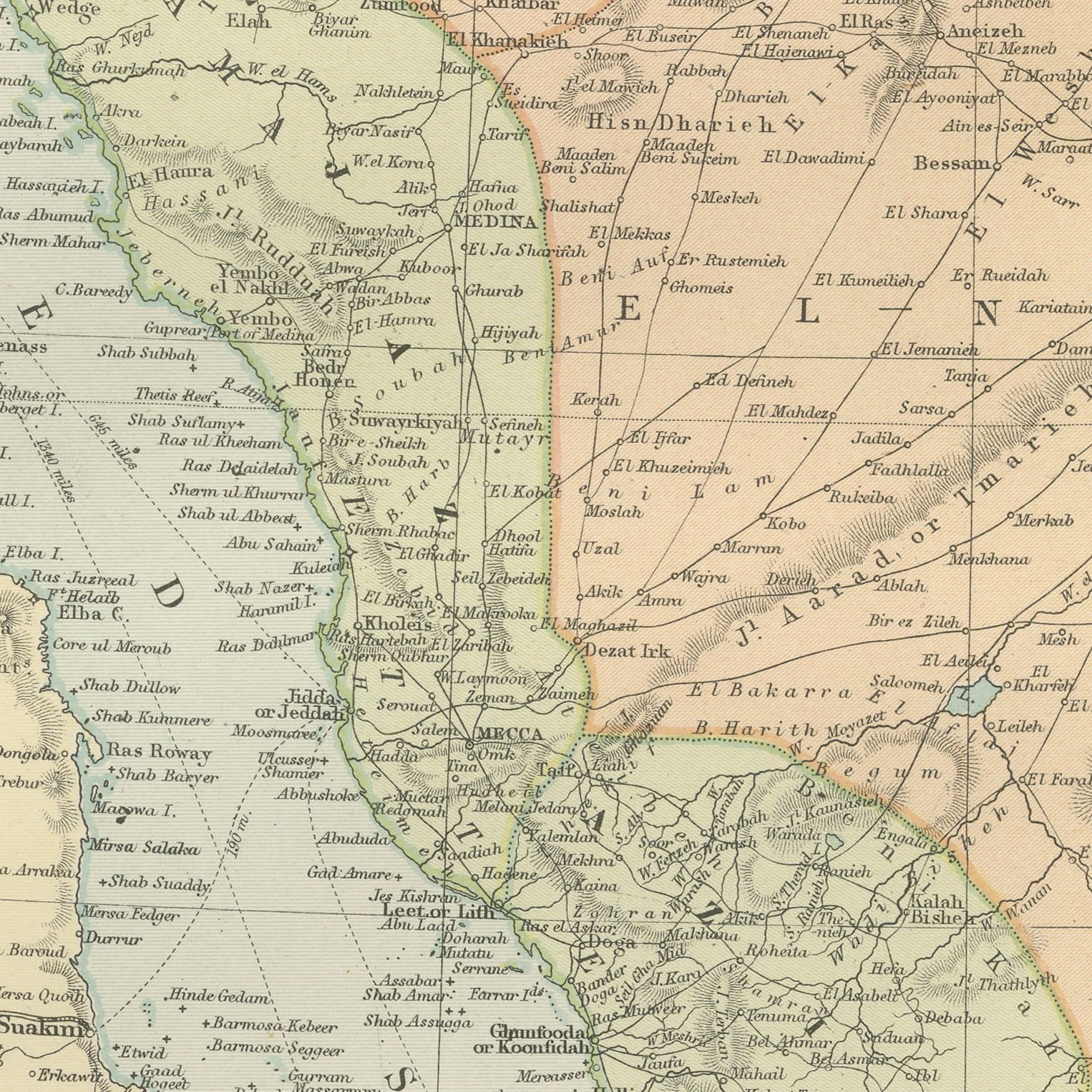
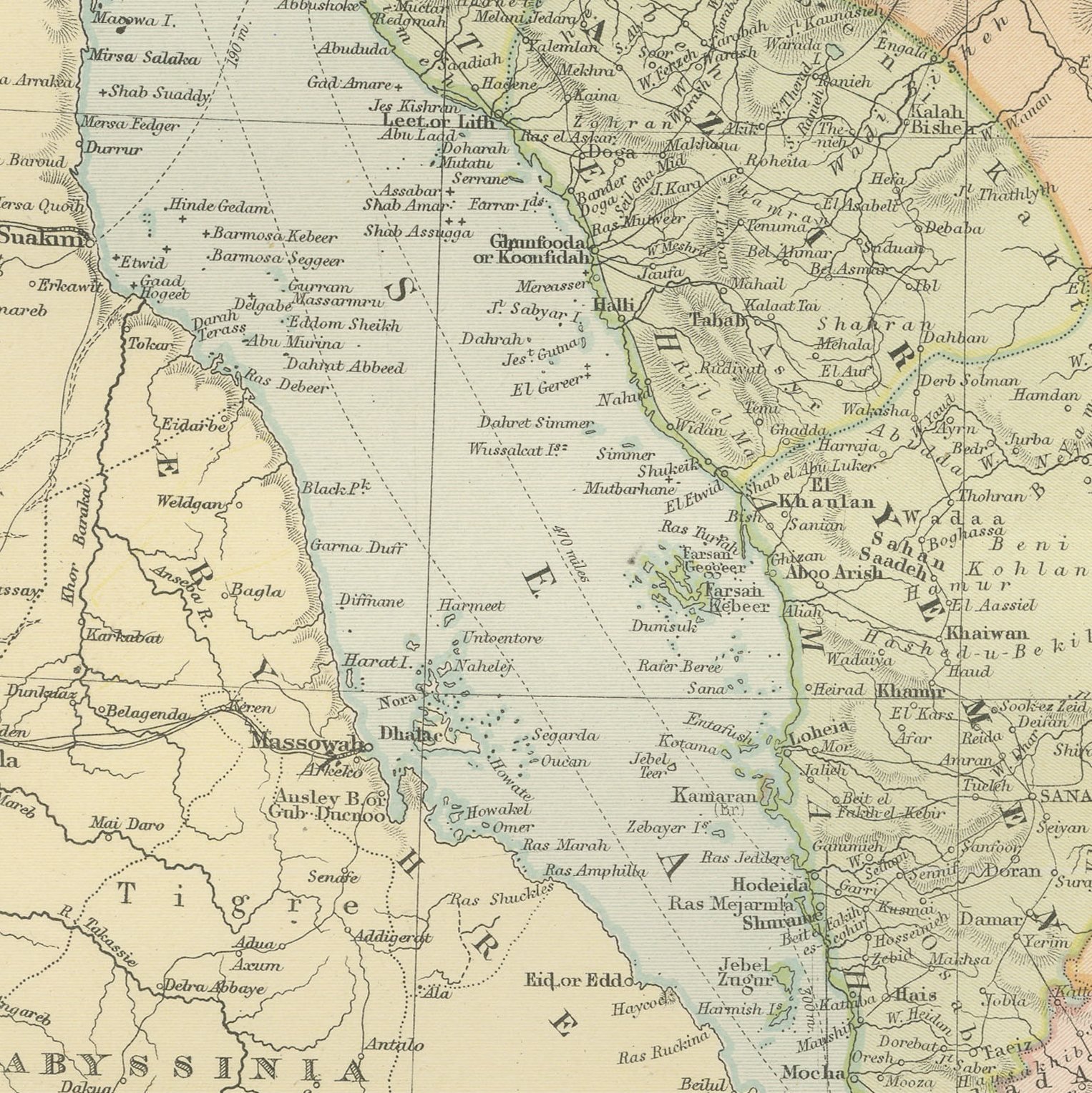
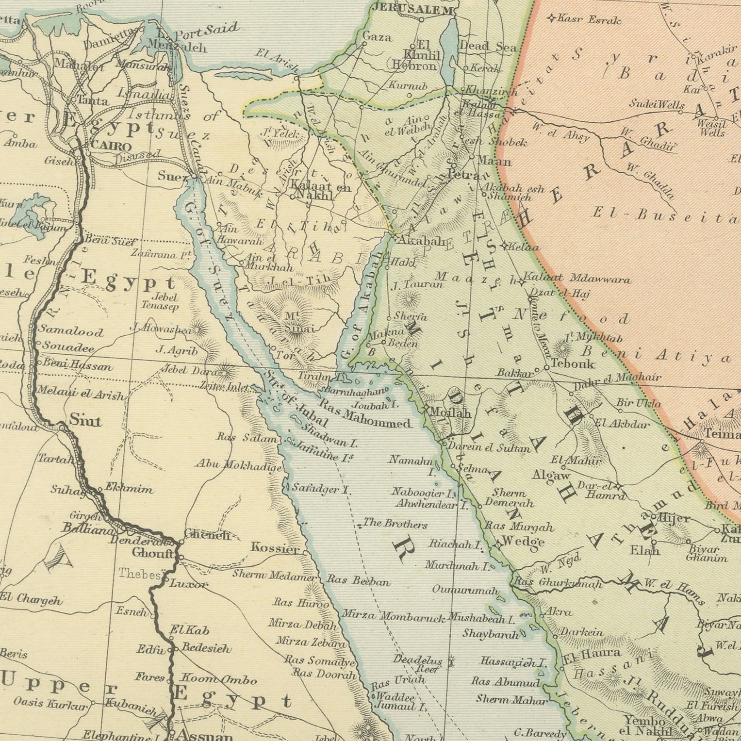
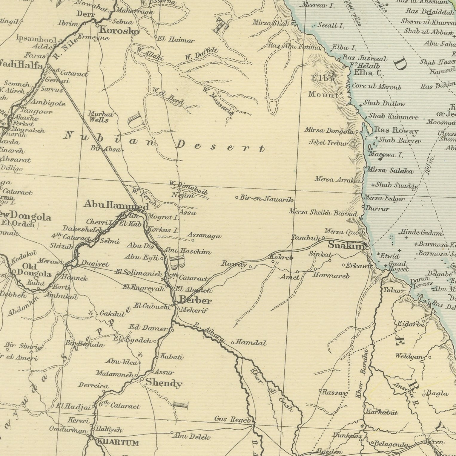
A large color printed antique map of Arabia, published in London by G. W. Bacon in 1898 for his Commercial and Library Atlas of the World. The peninsula fills the double page between the Red Sea and the Persian Gulf, with Nejd, El Hasa, Hadramaut, Oman and Yemen named, the Sandy Desert of Roba el Khali left largely blank, and the pilgrim roads to Mecca and Medina drawn across the Hejaz. Egypt, Abyssinia and the Soudan appear along the western edge, and an inset gives the Strait of Bab-el-Mandeb.
This map was issued in the Commercial and Library Atlas of the World, published by G. W. Bacon and Company, Limited, London, in 1898. Bacon's house built its reputation on large, densely lettered commercial maps rather than on decorative cartography, and this atlas was its reference volume: one hundred double page maps and one hundred insets, each carrying the railways, steamer routes, submarine cables and administrative boundaries that a trading nation wanted at the end of the nineteenth century.
The interior of Arabia was still unexplored by Europeans when this was drawn, and the map says so plainly by leaving the Empty Quarter nearly empty, with a scatter of wells and the note Sandy Desert. The Gulf coast carries the small sheikhdoms that later became the United Arab Emirates, spelled in Victorian forms, and oil was still forty years away. That combination of blank interior and familiar coastal names is exactly what collectors of Arabian cartography look for.
Light overall age toning, with the paper darker along the bottom edge and a few handling marks in the margins. The printed image itself is clean.
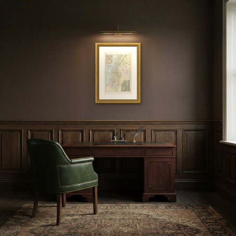
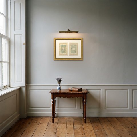
The sheet is large enough to carry a chimney breast or a stairwell and quiet enough in color to sit with books and furniture rather than compete with them. Collectors of Victorian cartography, interior designers and anyone with a tie to the region will find a use for it. This is an original antique map, not a modern reproduction. This item is sold unframed.