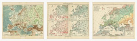
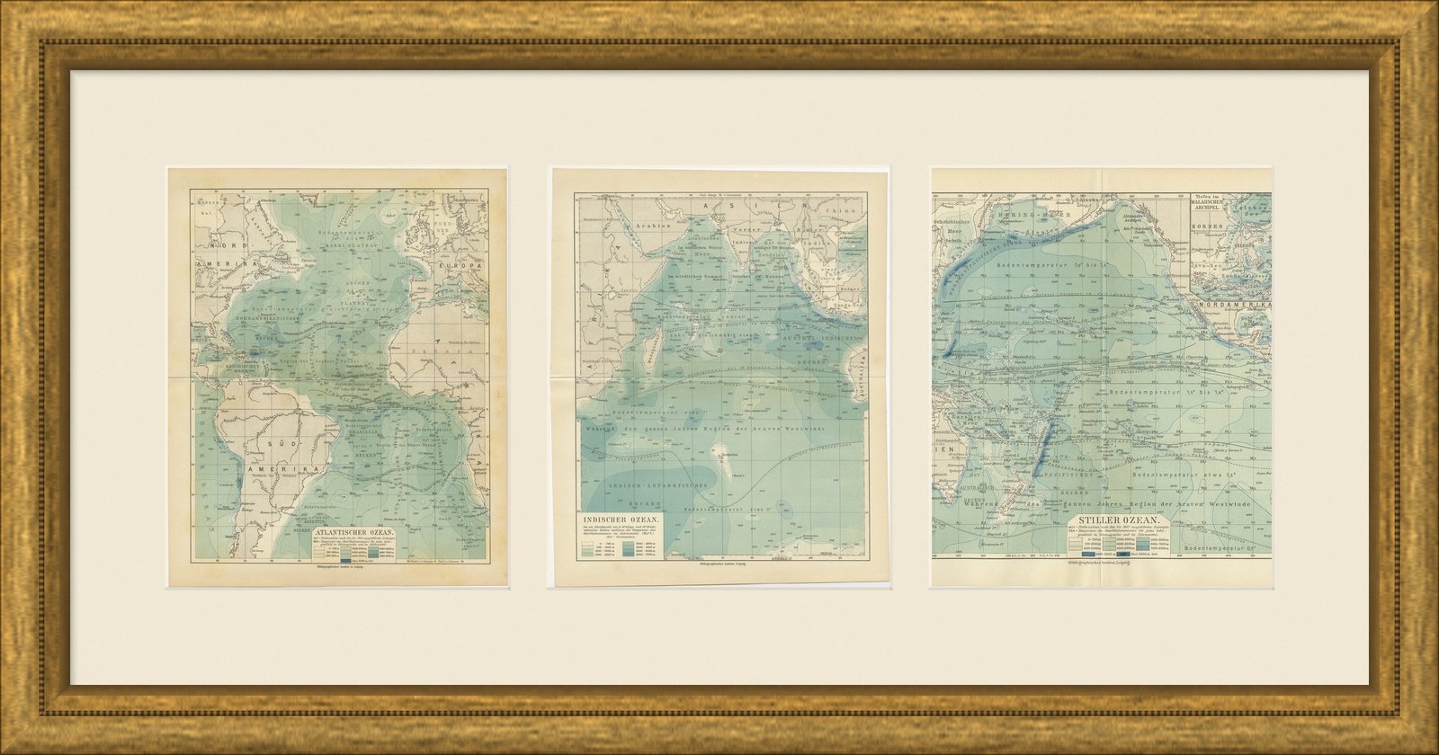
 The sheet, as you receive it
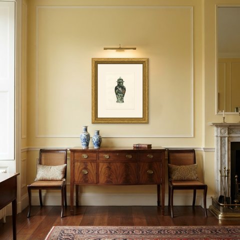
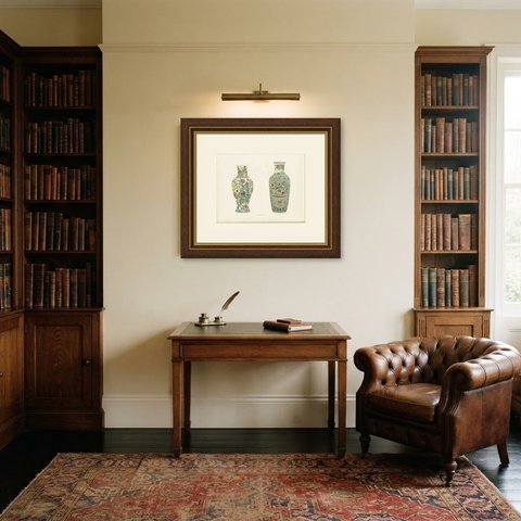
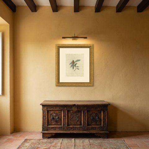
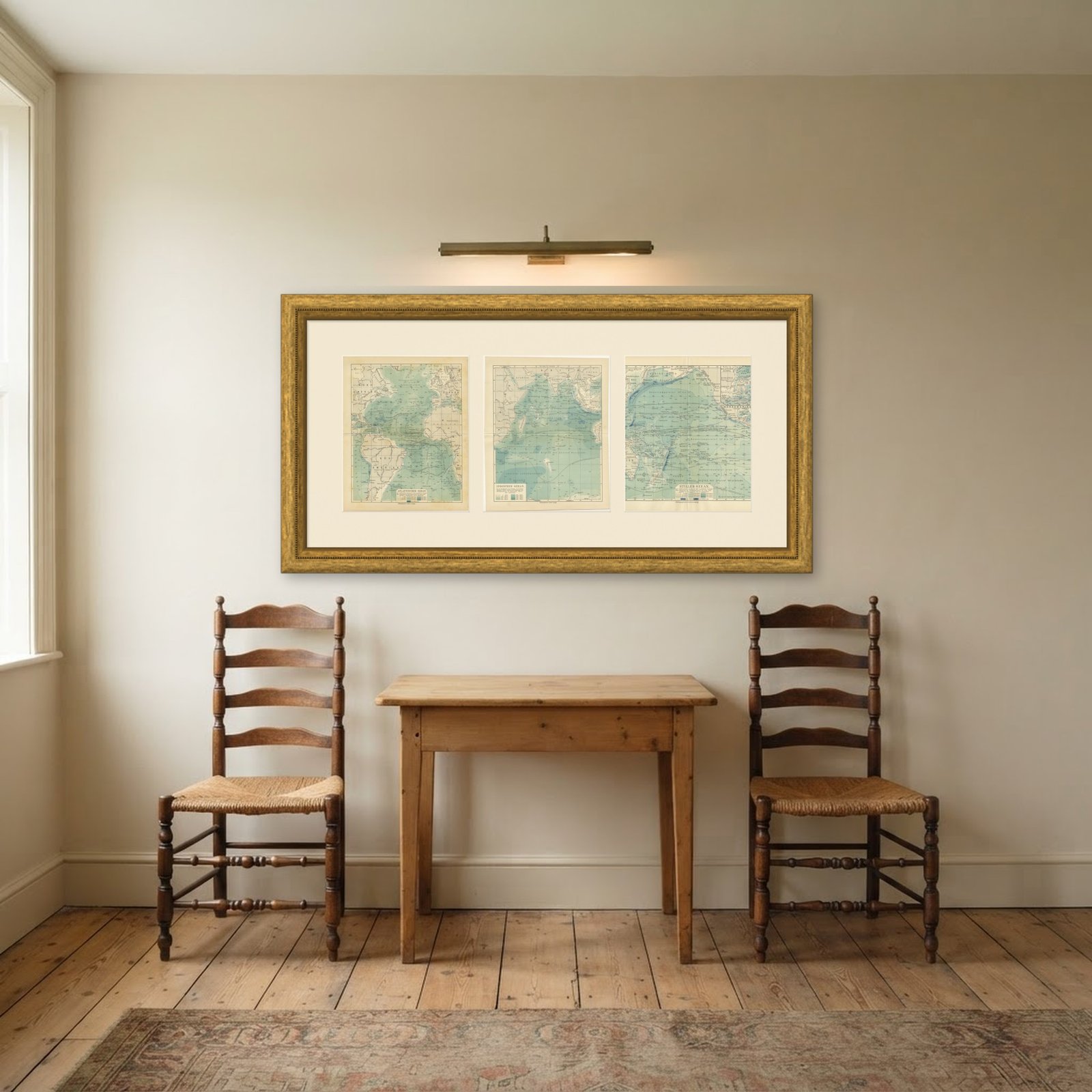 In the room 1
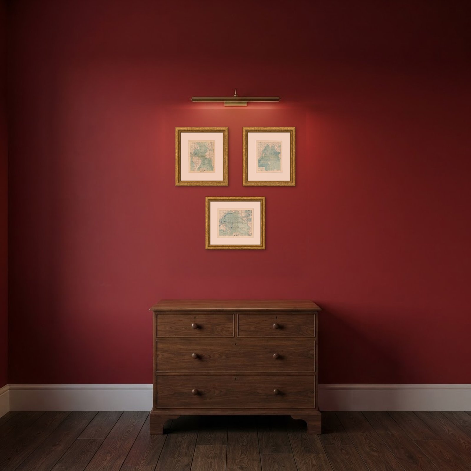
Interior designers: BarTrade members buy at their trade price. How it works
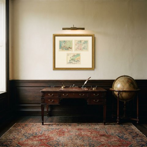
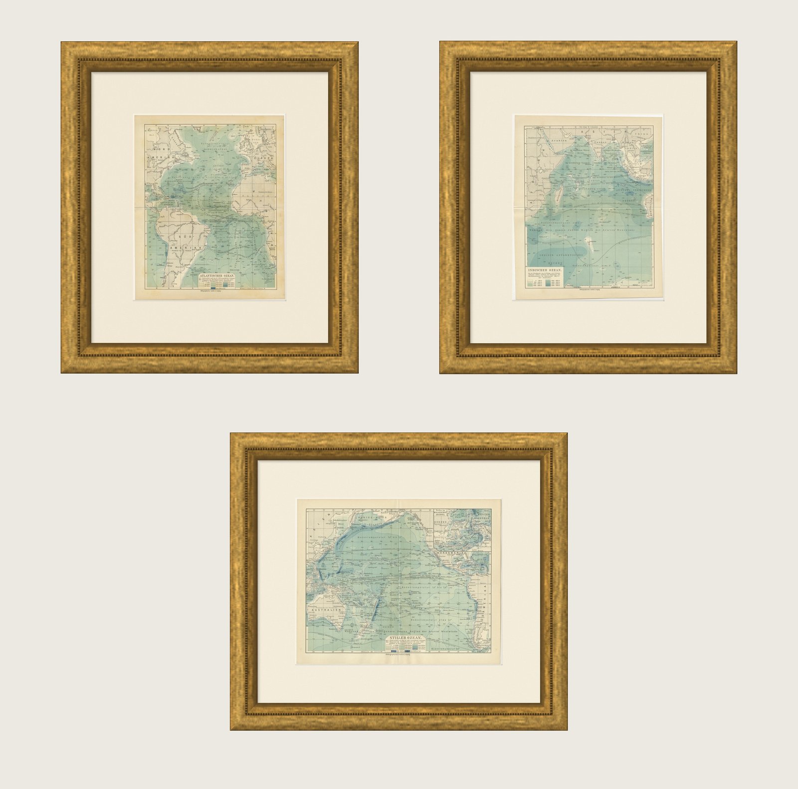
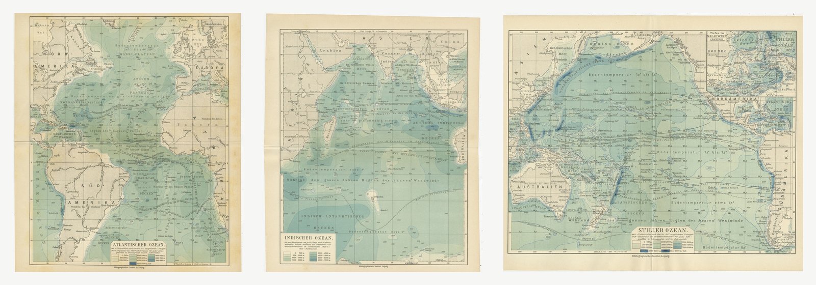
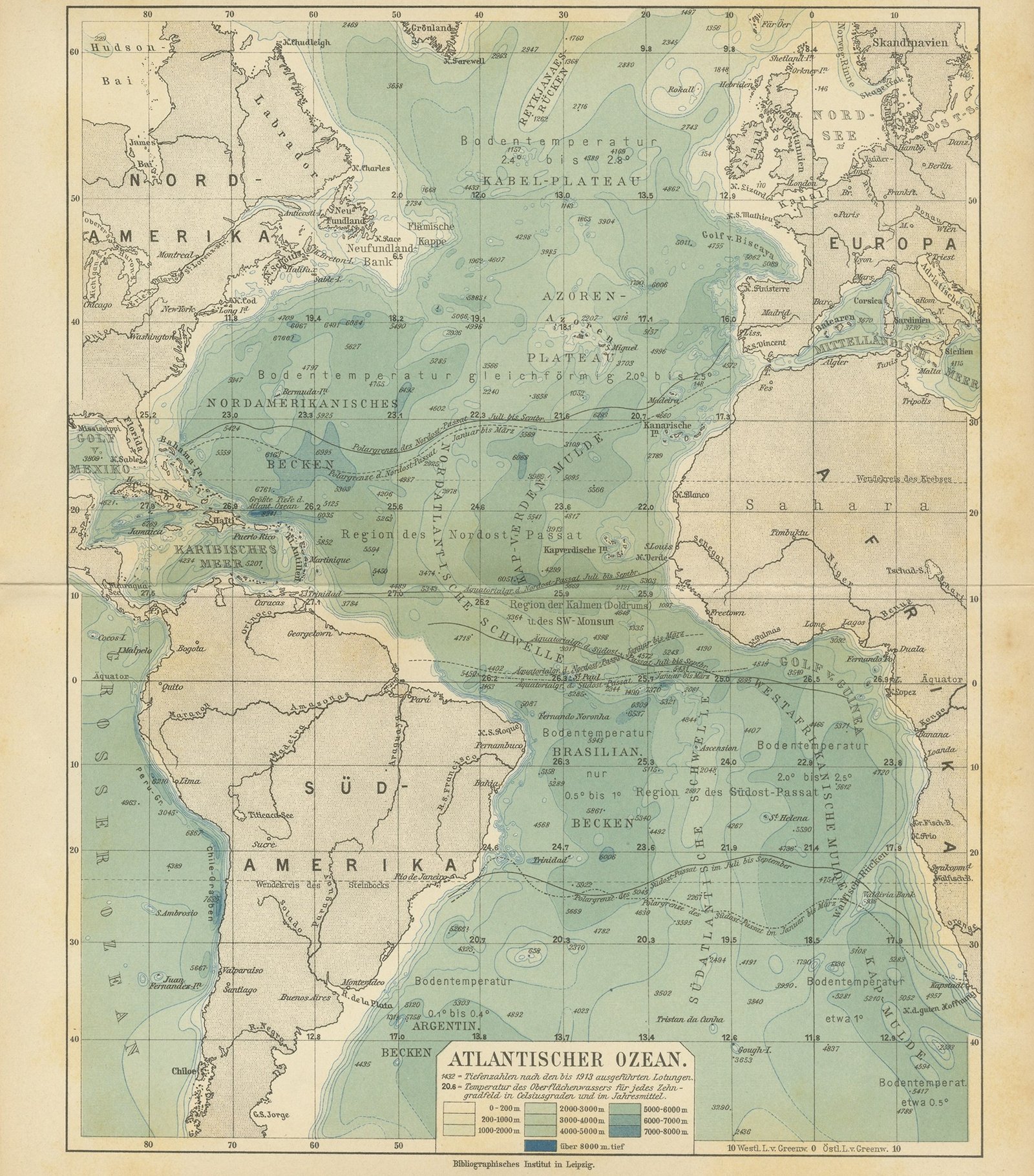
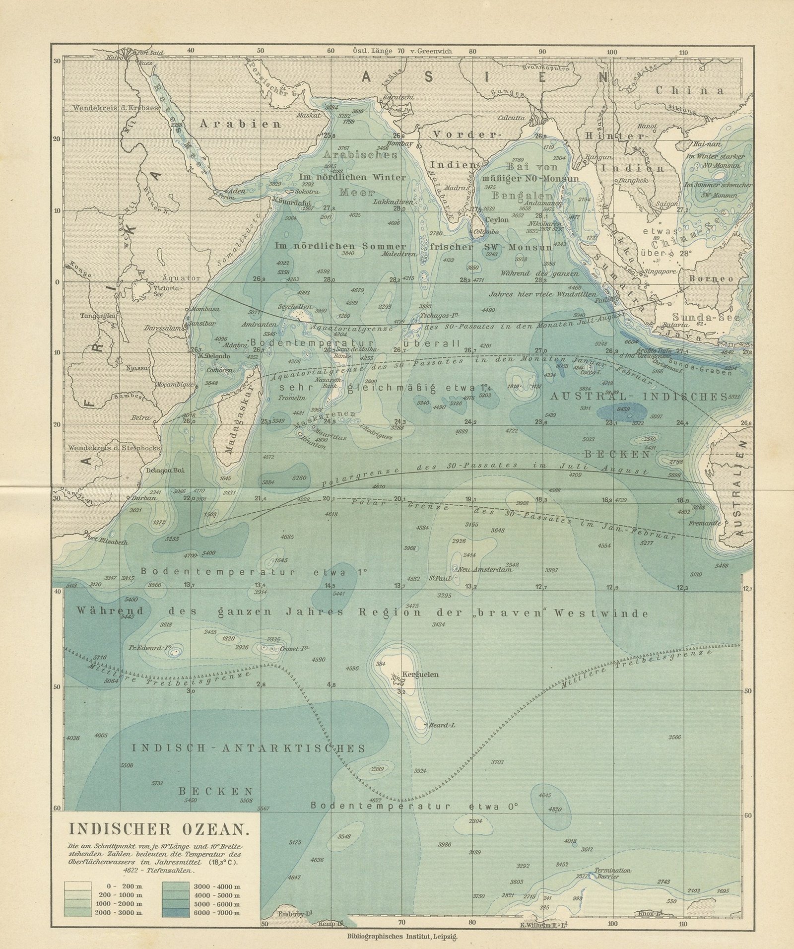
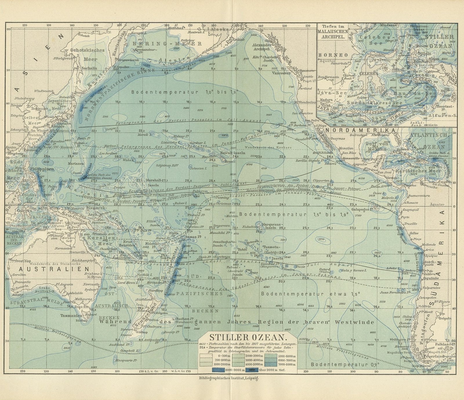
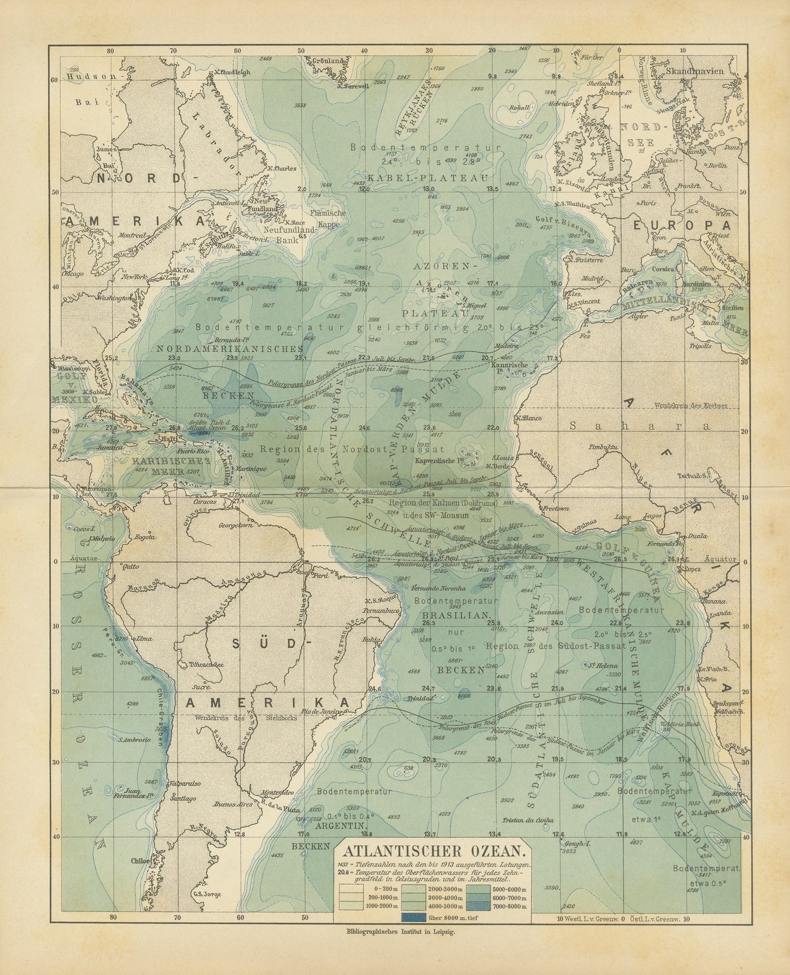
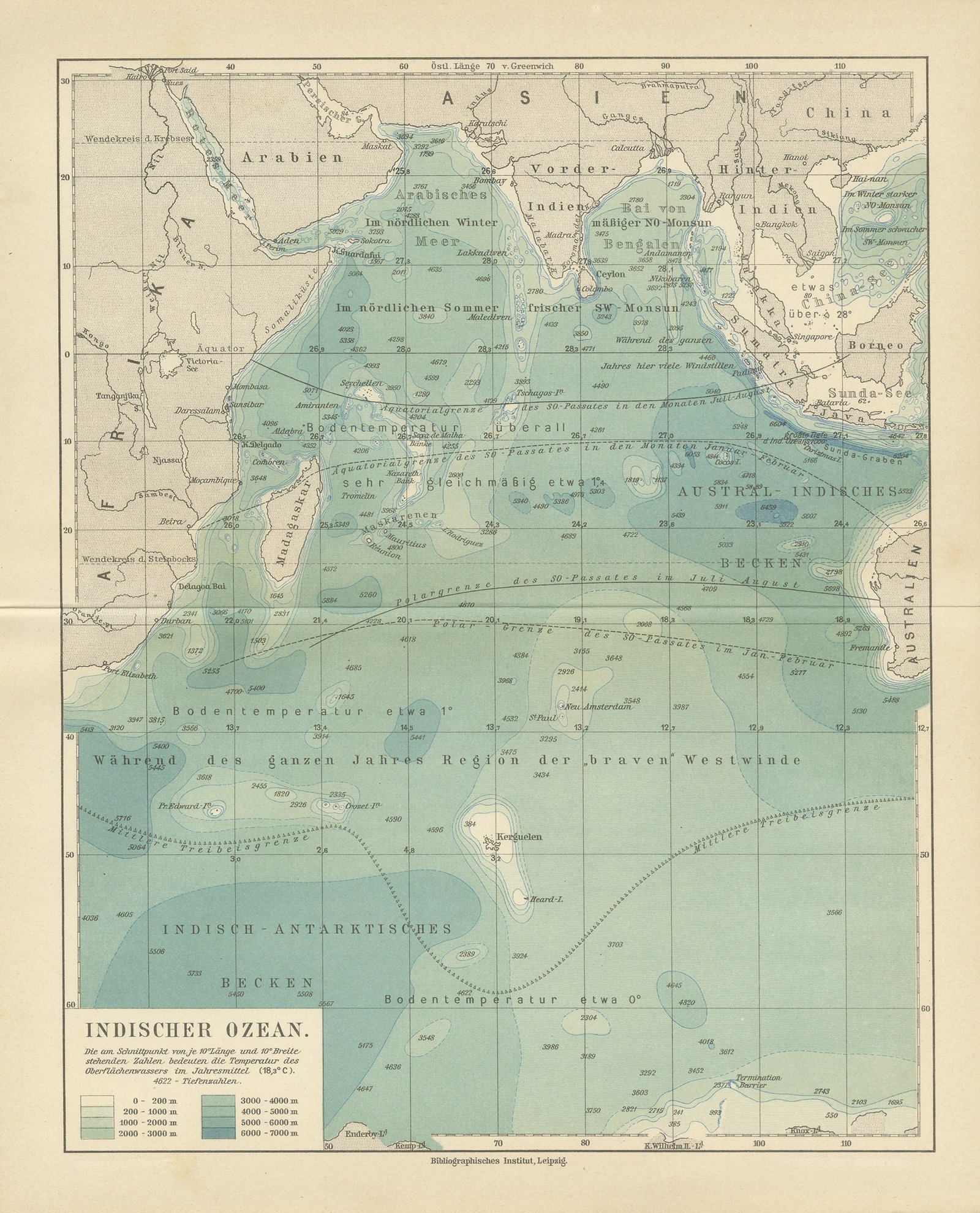
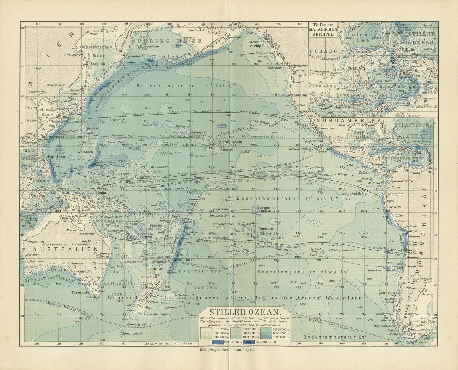
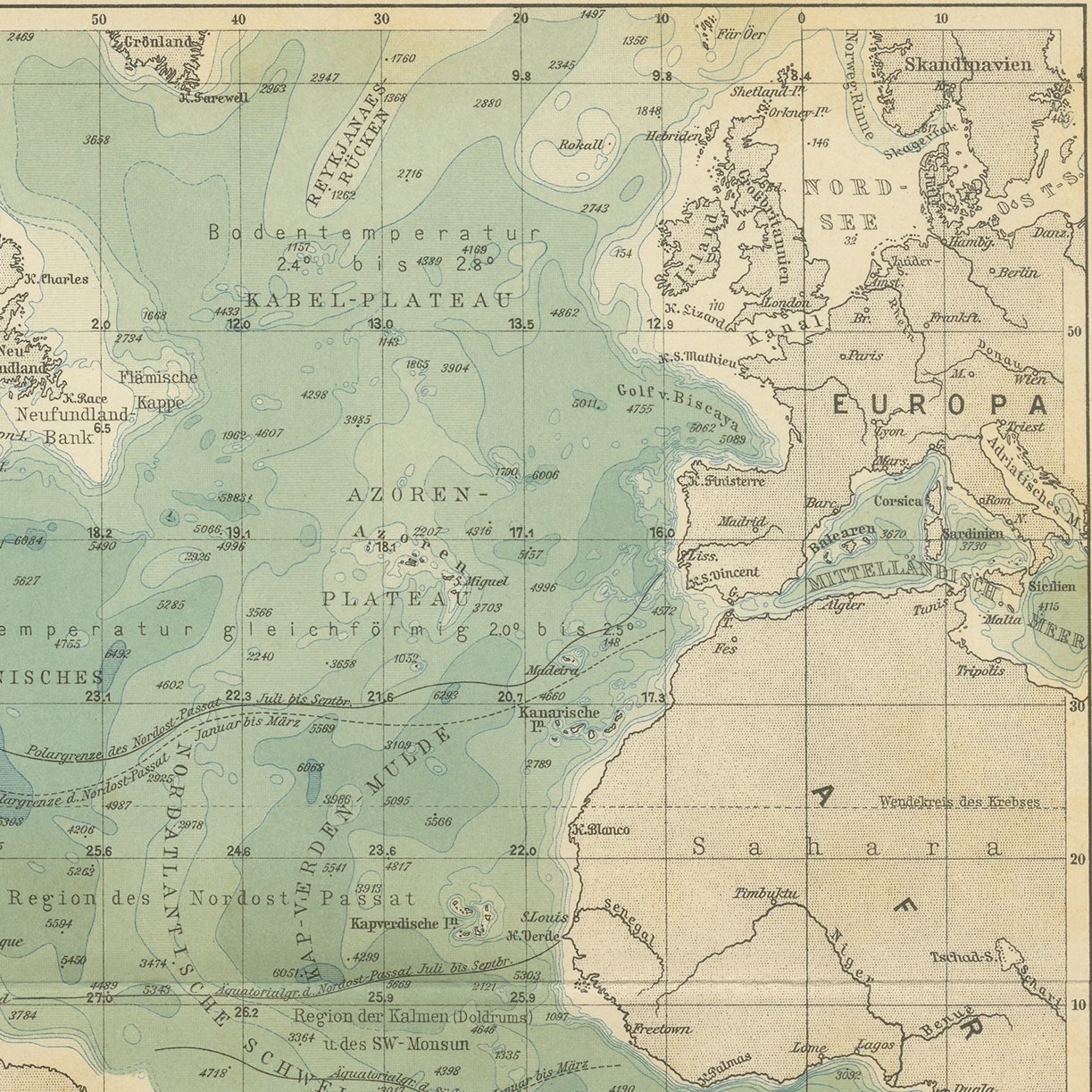
A set of three original antique thematic maps from Meyers Physikalischer Handatlas. They are three original sheets sold together, and the set is never split. The three sheets are The Atlantic Ocean, depth zones and surface water temperatures; The Indian Ocean, depth zones and surface water temperatures; The Pacific Ocean, depth zones and surface water temperatures. Each was printed in color by the Bibliographisches Institut in Leipzig and Vienna in 1916.
All three maps come from the same atlas, Meyers Physikalischer Handatlas, fifty one maps of oceanography, morphology, geology, climatology, plant and animal geography and ethnology, published by the Bibliographisches Institut in Leipzig and Vienna in 1916. They share a typeface and a palette, which is the whole reason they work on a wall together: hung in a row or in a block they read as one considered group rather than as three unrelated prints. The atlas was the physical geography companion to Meyers Grosses Konversations-Lexikon and was compiled from the leading specialist sources of the day, including the Berghaus physical atlas, Alexander Supan, Julius Hann and Oscar Drude.
Thematic maps take one idea and lay it across a whole region in color, and a set of them shows the same ground answering three different questions at once. That is a more interesting wall than three views of the same thing. Framed in matching plain dark moldings with wide off white mats, a set like this suits a study, a library, a hallway, a boardroom or a stair wall.
Even age toning throughout. Handling soiling along the edges of one of the three sheets. Slight wear at the corners of two of the three sheets. Shallow nicks along an edge of one of the three sheets. Center folds, as issued.
These are original antique maps, not modern reproductions. This item is sold unframed.