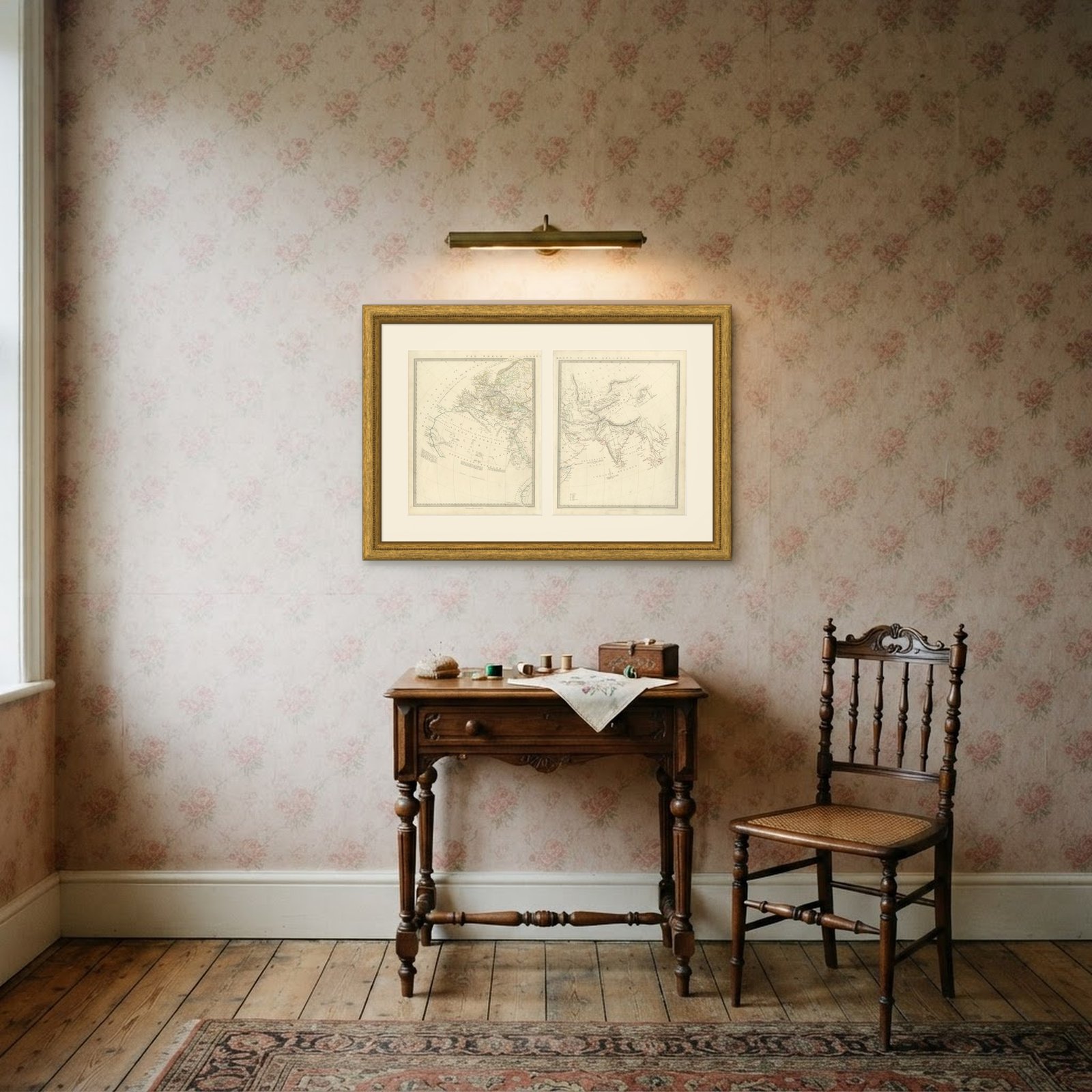
 In the room 1
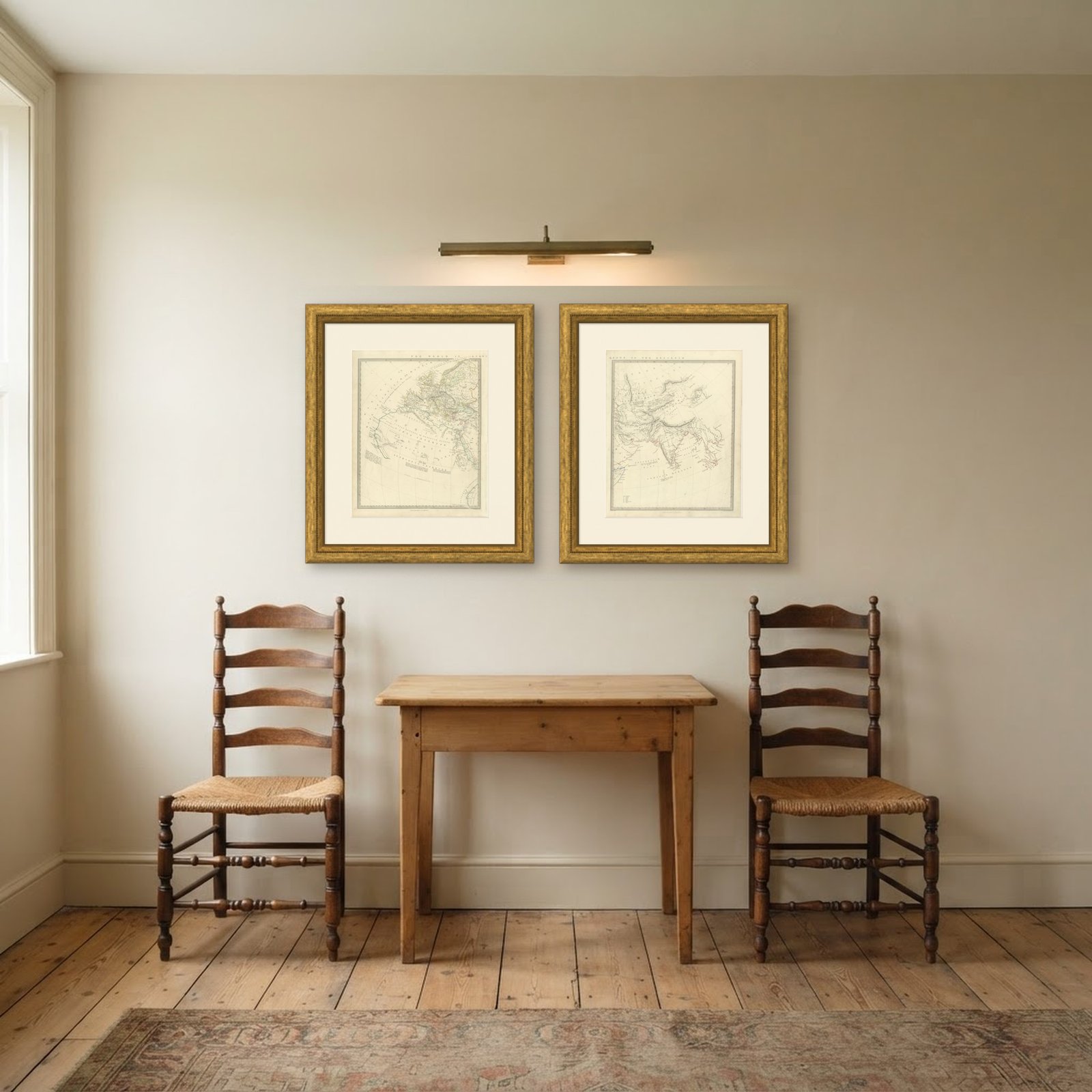
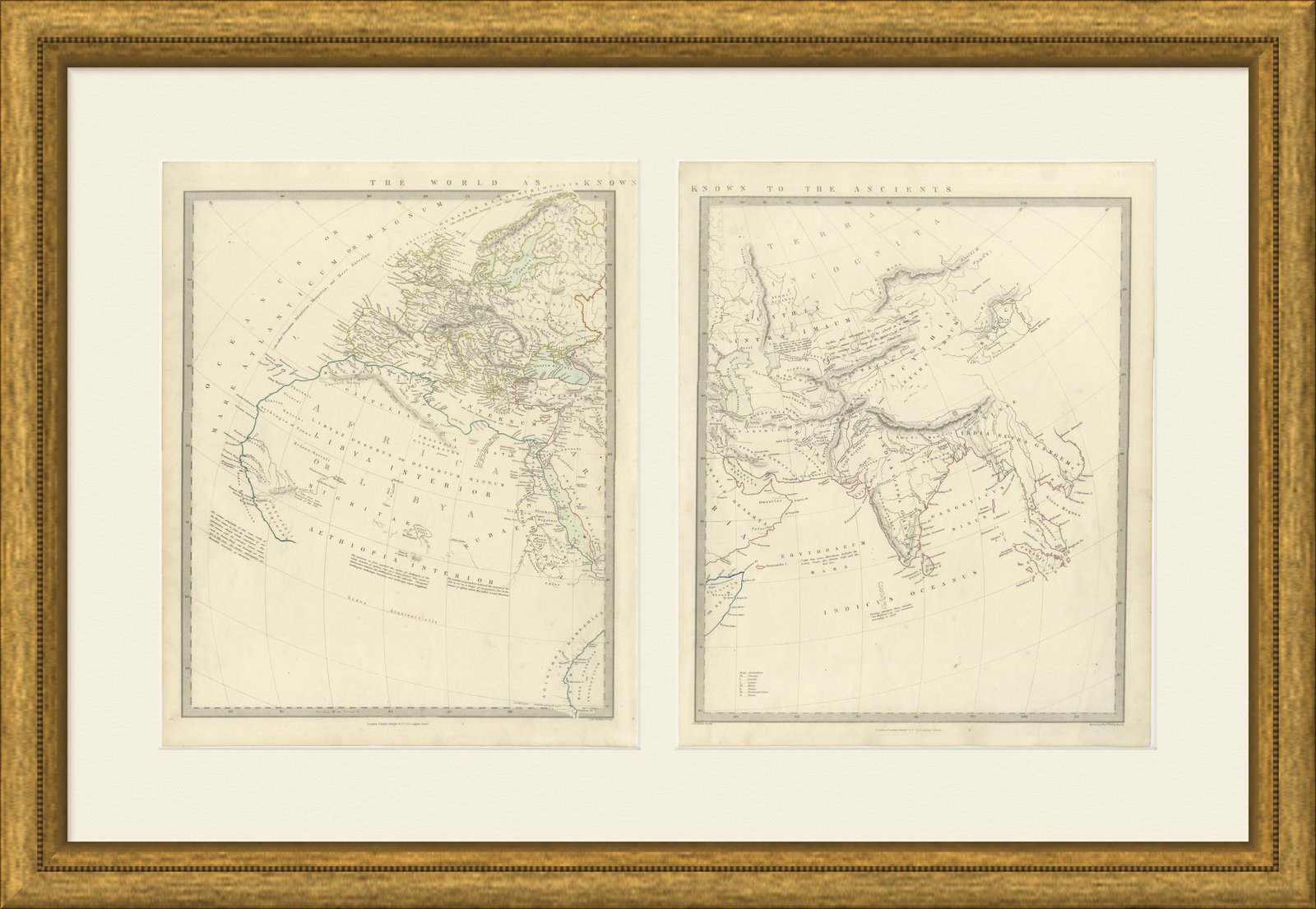
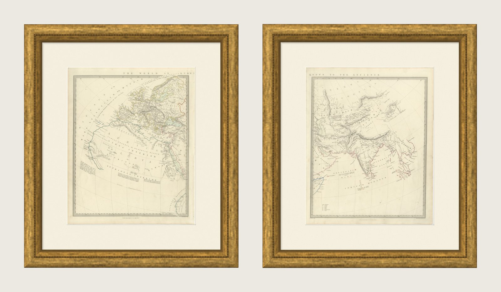
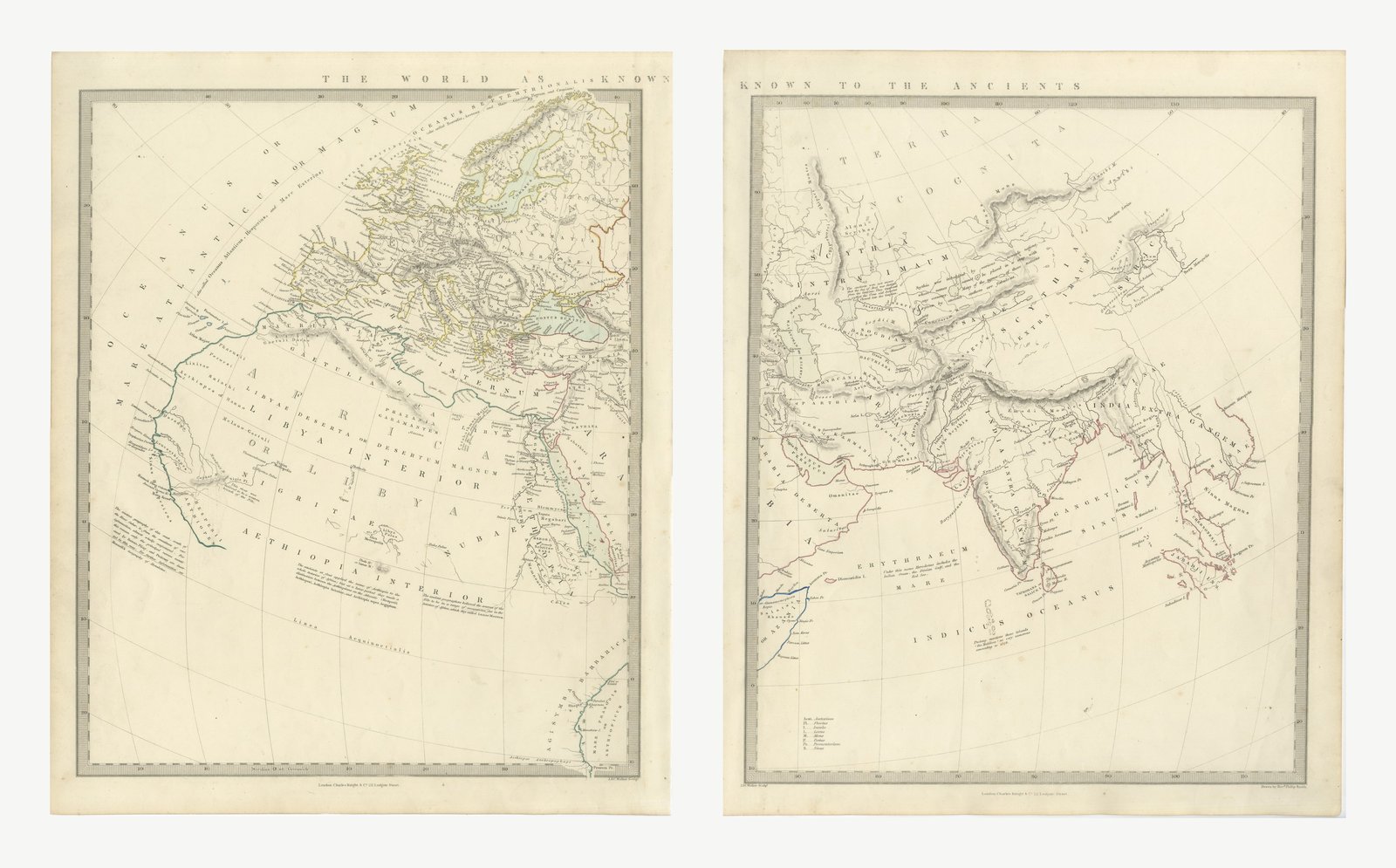
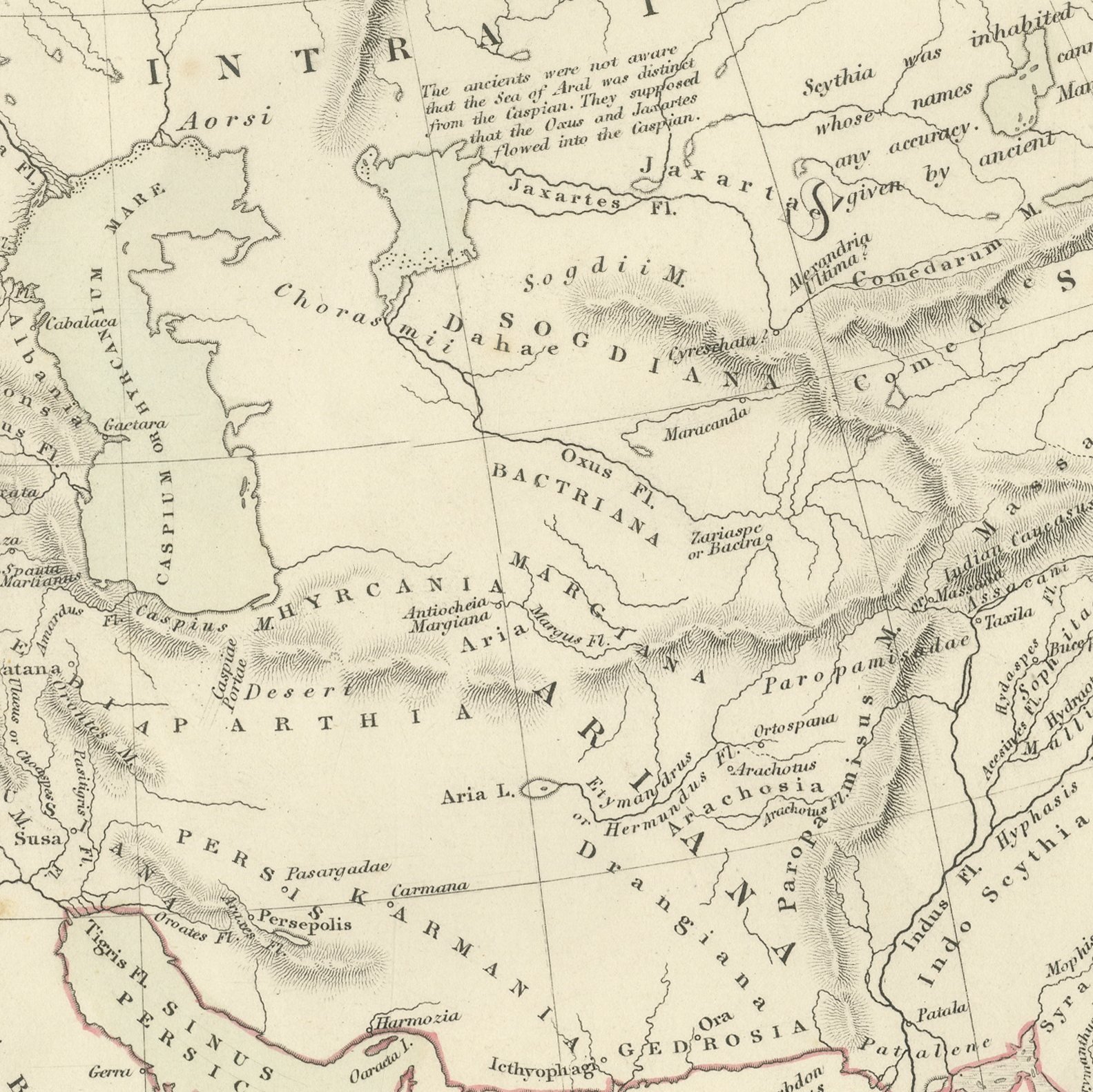
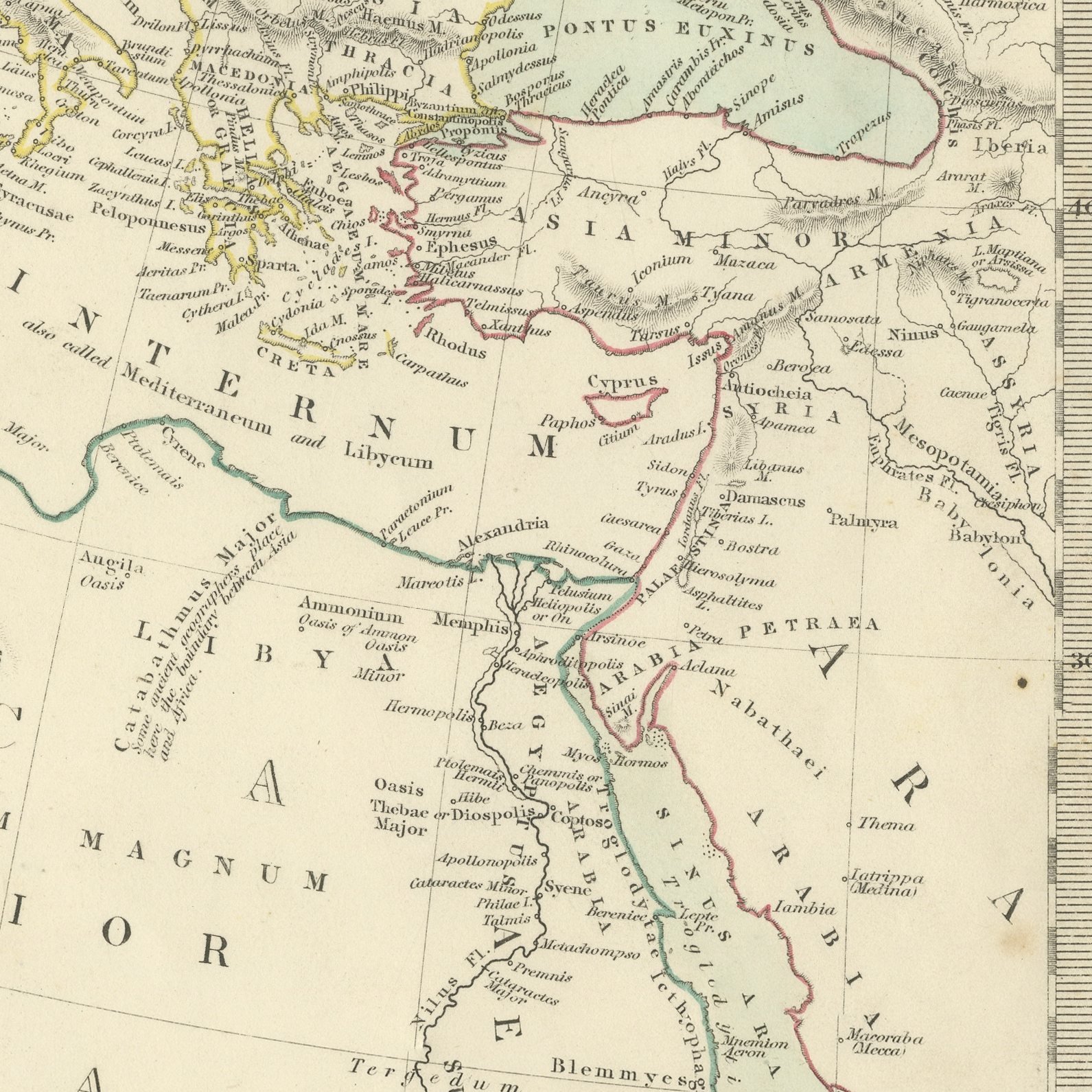
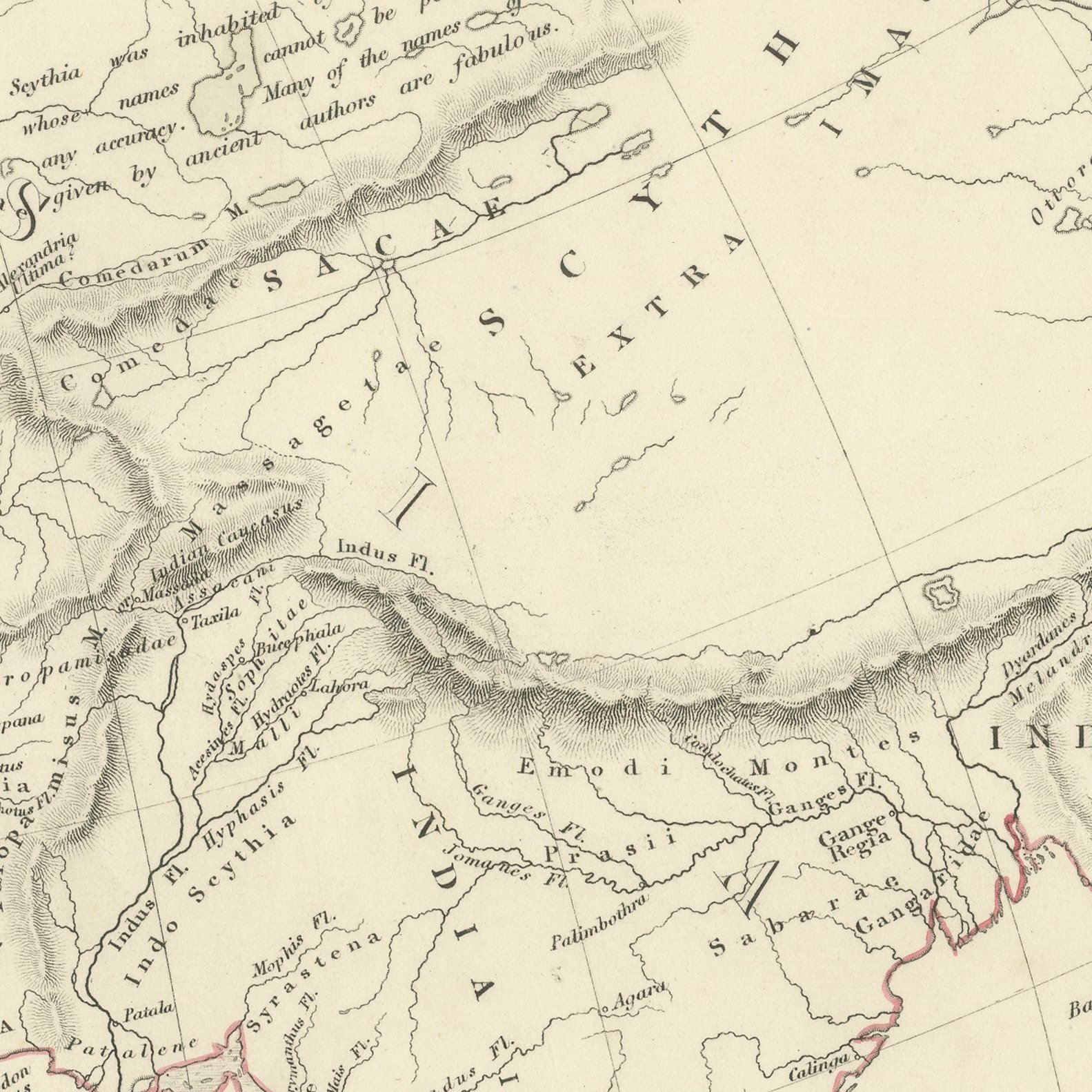
The World as Known to the Ancients, Antique Map on Two Sheets, 1845
Interior designers: BarTrade members buy at their trade price. How it works
- Sheet
- 35 cm × 44 cm (width × height)
- Framed as shown
- 57 cm × 65 cm
- Shown on
- Cream wall
- Size
- Medium, 50 to 80 cm (20 to 31 in) framed
- Date
- 1845
- Technique
- Steel Engraving
- Color
- Original hand color
- Condition
- Good
- Stock no.
- BG-14487-2-4
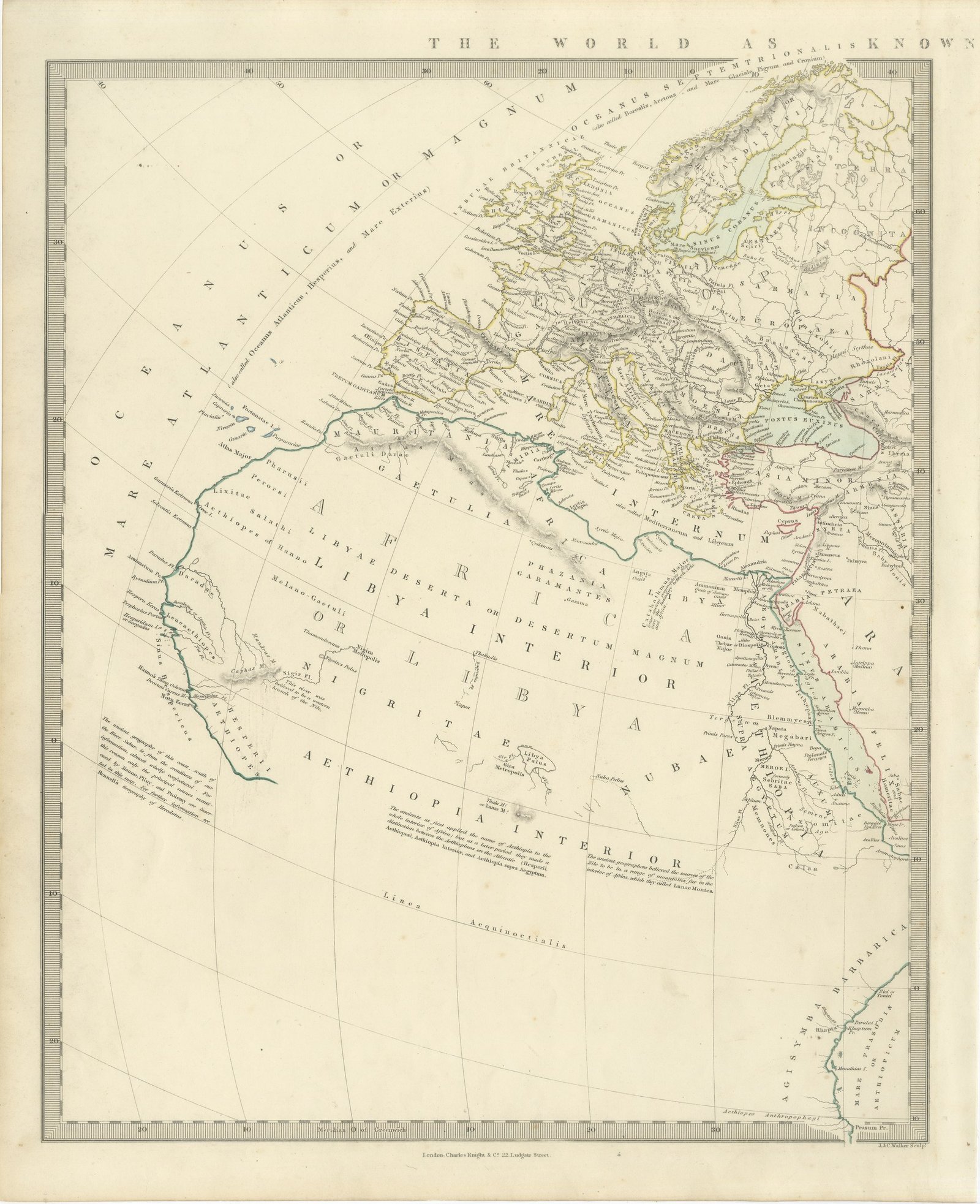
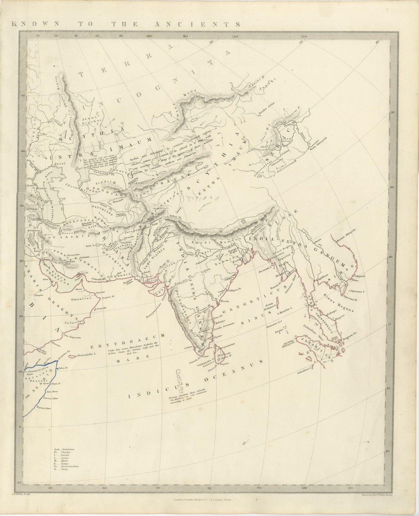
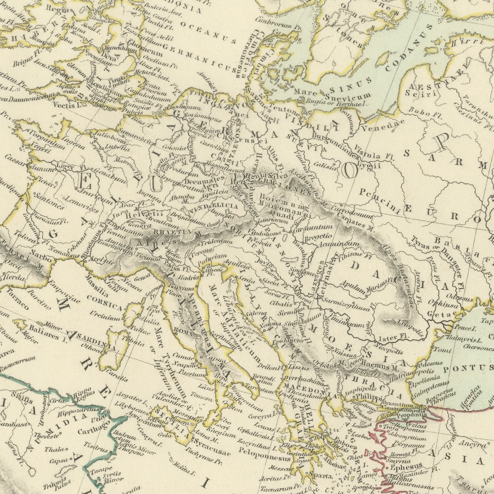
This is an original antique map of the world as it was known to the ancients, complete on the two sheets on which the Society for the Diffusion of Useful Knowledge printed it in 1845, offered together as one set. The western sheet carries Europe, the whole Mediterranean basin, north Africa and as much of the continent beyond the Sahara as classical geography could reach, with Oceanus Atlanticus and Mare Internum lettered across the seas and Gaetulia, Libya Interior, Nigritae and Aethiopia Interior across the land. The eastern sheet takes up at the right hand edge of the first and runs from Arabia and the Persian Gulf across Scythia Intra Imaum and Scythia Extra Imaum to Serica, India Intra Gangem and India Extra Gangem, with the vast blank of Terra Incognita lettered across the whole northern half and Taprobane set off the Indian coast. Both sheets are drawn by the Reverend Philip Smith and engraved by John and Charles Walker, both carry hand applied outline color along the coasts and provincial boundaries, and both are set with engraved notes discussing the reliability of ancient geography, Herodotus on the extent of the Indian Ocean and the courses of the Nile and the Niger.
The sheets come from Maps of the Society for the Diffusion of Useful Knowledge, in the new edition corrected to the present time that Charles Knight and Company published at 22 Ludgate Street, London, in 1845, whose first volume covers Europe. The Society was founded in 1826 by Henry Brougham and his circle to publish useful knowledge at a low price. Its maps were issued in parts from 1829, first by Baldwin and Cradock, from 1842 by Chapman and Hall and then by Charles Knight, and the series grew to about two hundred maps. Most of them were engraved on steel by John and Charles Walker, and the outline color was applied by hand.
The sheets of this set belong to one map and are sold together.
Two sheets, both age toned. Foxing in the margins of all of them. Handling wear to the corners of all of them.
The set is two original sheets sold together, never split. These are original antique maps, not modern reproductions. This item is sold unframed.