 The sheet, as you receive it
 In the room
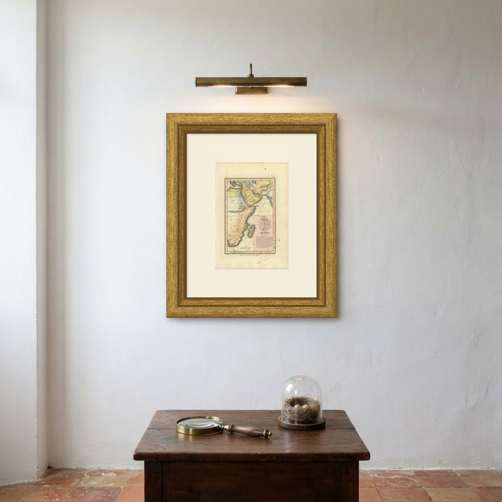
Interior designers: BarTrade members buy at their trade price. How it works
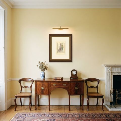
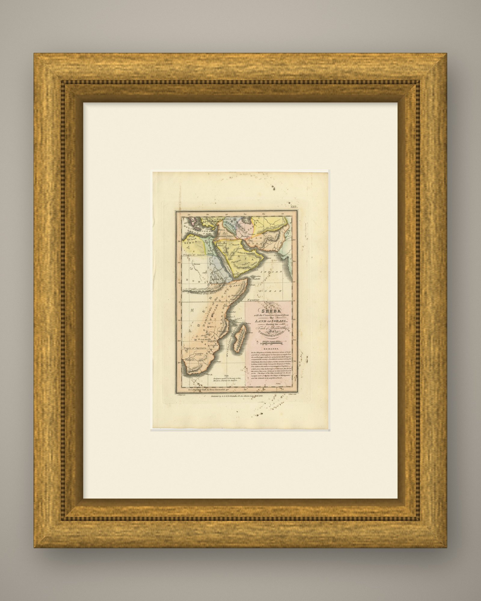
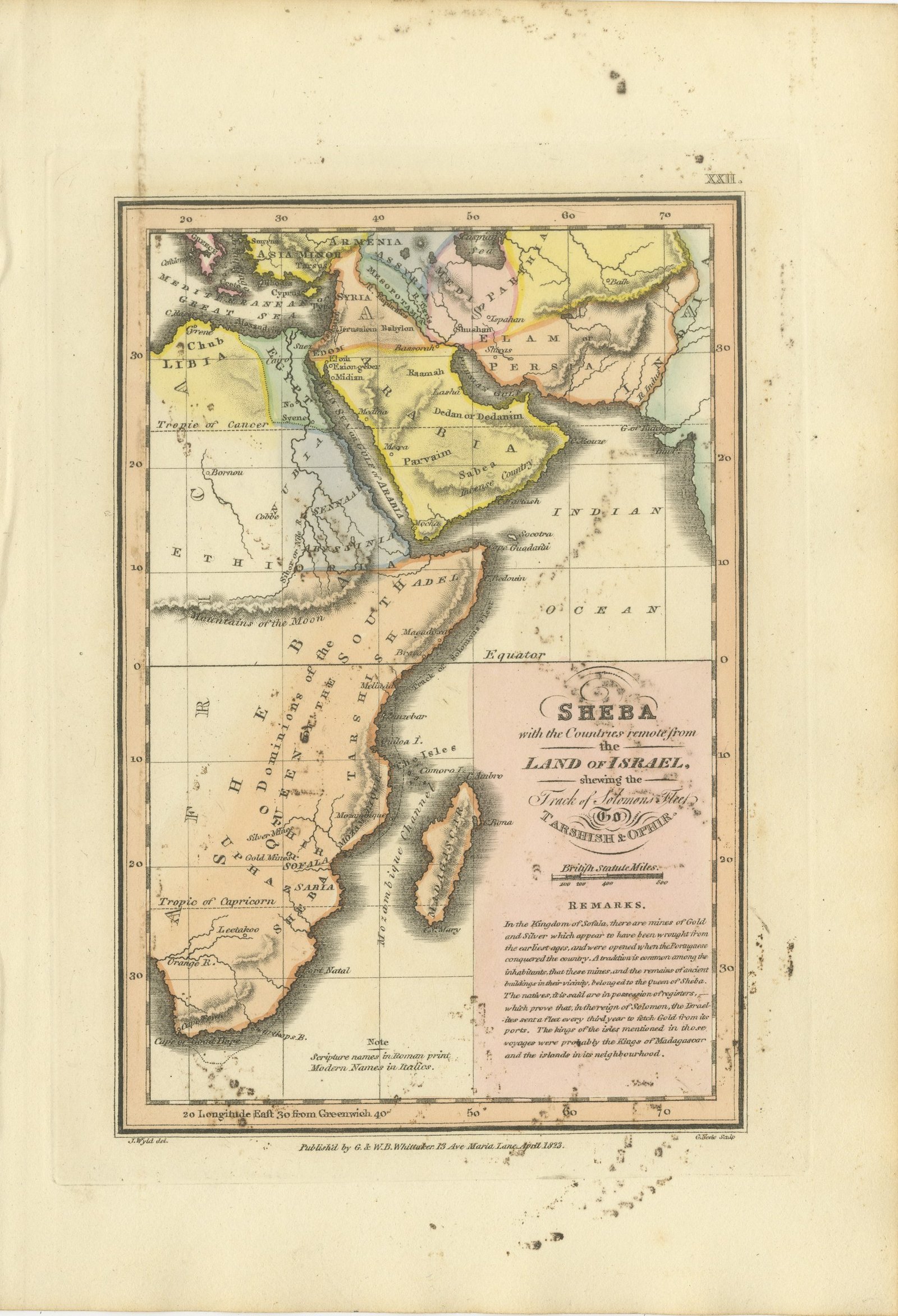
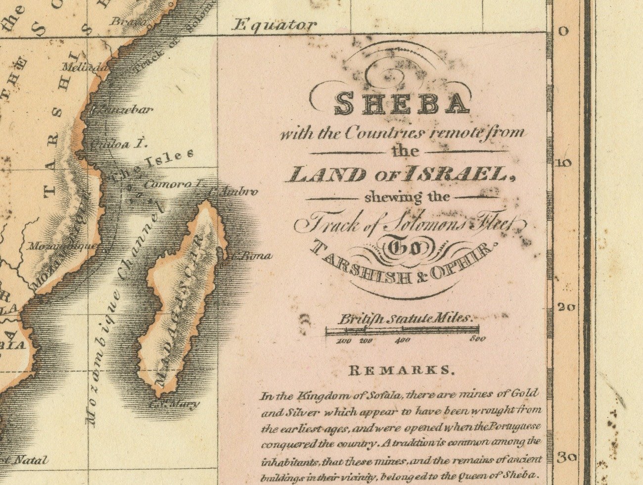
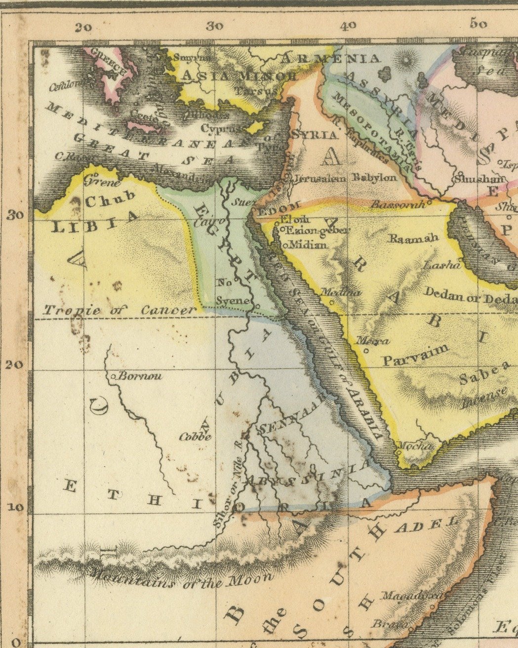
This is an original antique copper engraved map with original hand coloring, published in 1823 as plate XXII of James Wyld's Geographia Sacra, or Scripture Atlas. The engraved title reads "SHEBA with the Countries remote from the LAND OF ISRAEL, shewing the Track of Solomons Fleet To TARSHISH & OPHIR." The title is engraved in a pink panel at the lower right of the map, above a scale of British statute miles.
The map takes in Asia Minor, Persia and Arabia at the top and the whole east coast of Africa down to the Cape of Good Hope, with the Indian Ocean on the right. Arabia is washed yellow, with Sabea and the "Incense Country" lettered in the south, and the coast of Africa is edged in orange, with the dominions of the Queen of the South and Tarshish lettered down its length. The track of Solomon's fleet is marked along the coast near Melinda, and Sofala, Mozambique and Madagascar are marked to the south. Beneath the title a panel headed "REMARKS" discusses the mines of gold and silver in the Kingdom of Sofala, and a note at the bottom explains that scripture names are in roman print and modern names in italics.
Below the lower border the credit J. Wyld del. is engraved at the left and G. Neele Sculp. at the right, with the imprint between them: "Publish'd by G. & W. B. Whittaker. 13 Ave Maria Lane, April 1823." The plate number is engraved as XXII. in the upper right.
The atlas was published by G. and W. B. Whittaker in London, and its engraved title page names Wyld as "of the Quarter Master General's Office, Horse Guards". James Wyld the elder (1790 to 1836) was a London geographer and map publisher.
Light uneven toning, browner toward the edges. Marked handling soiling along the right and top edges. Scattered foxing in the margins, heavier at the top right and along the bottom. All four corners are present. One larger brown mark.
This is an original antique map, not a modern reproduction. This item is sold unframed.