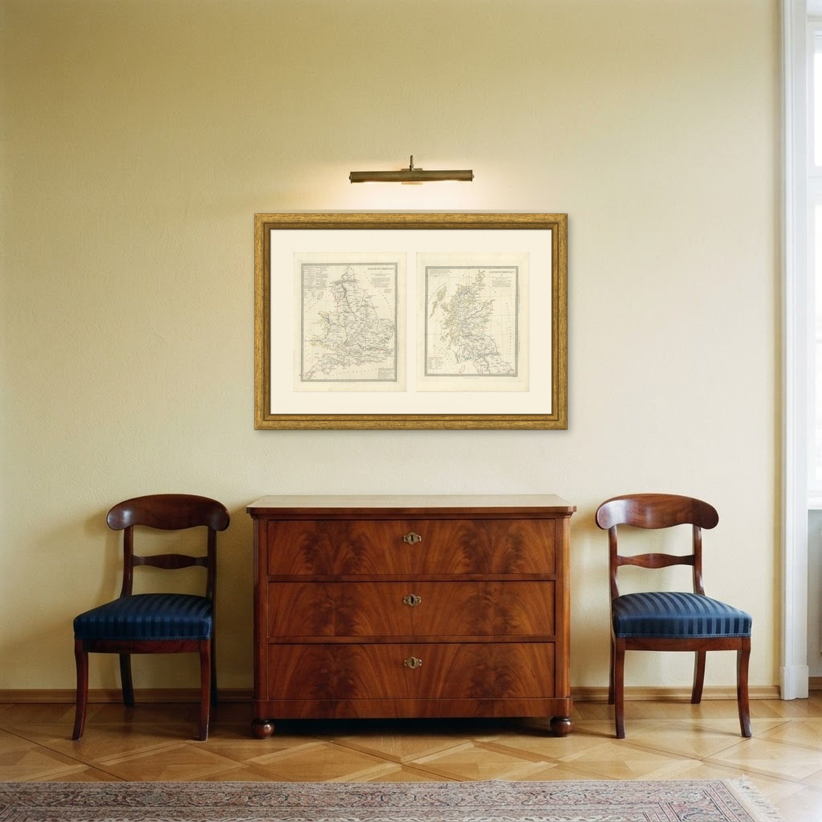
 In the room 1
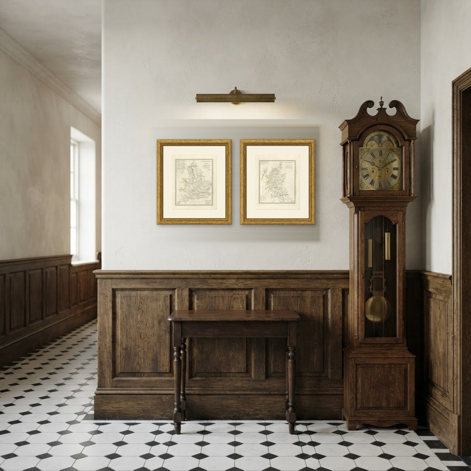
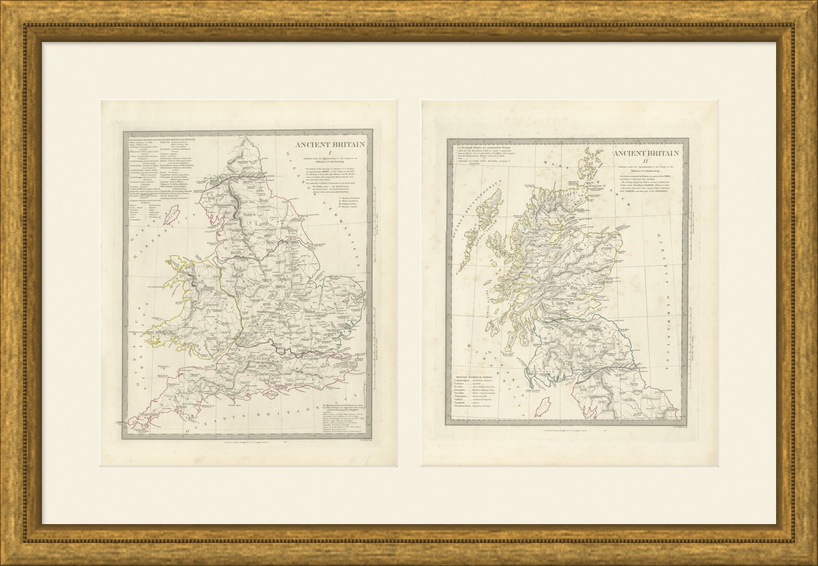
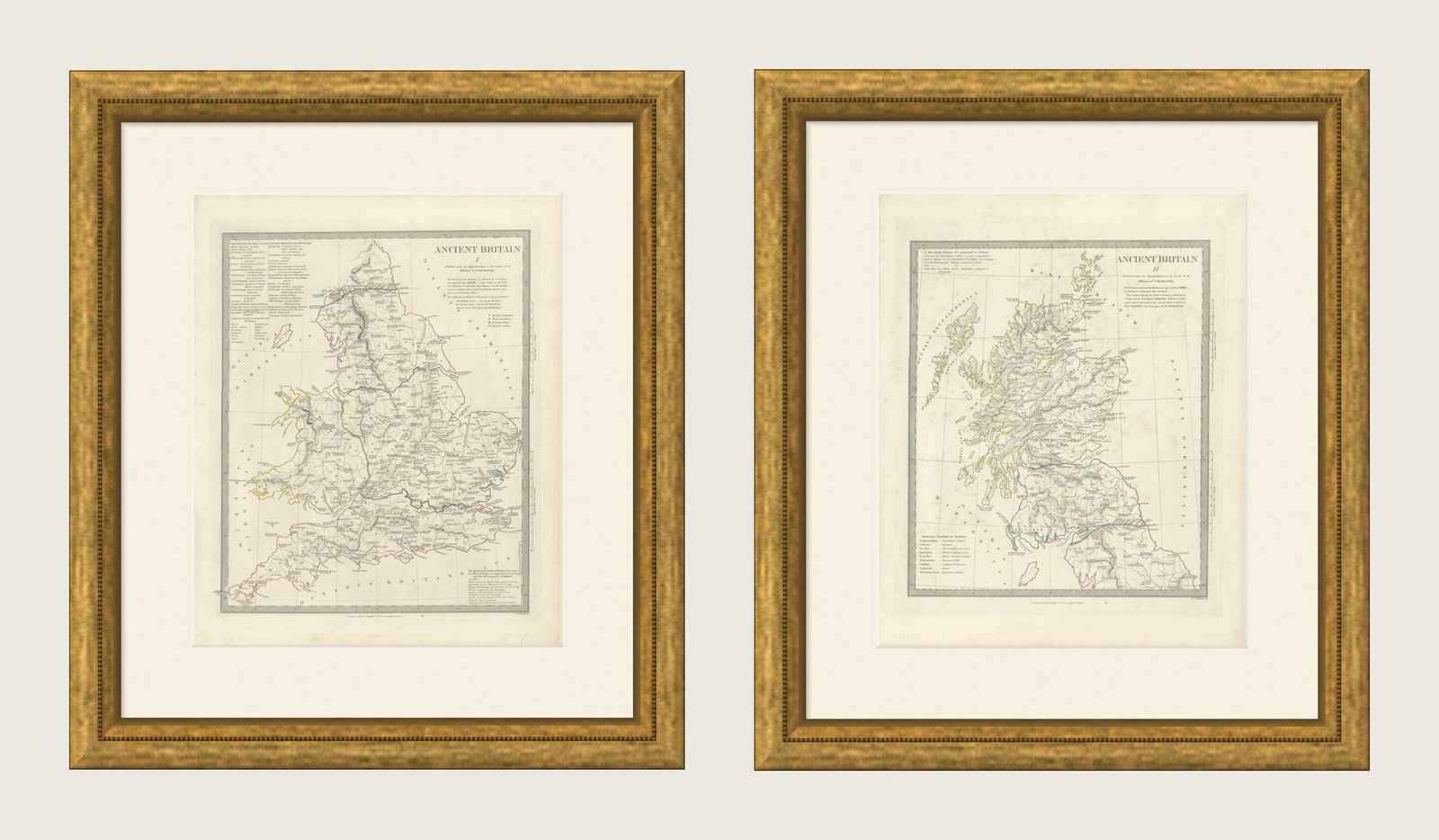
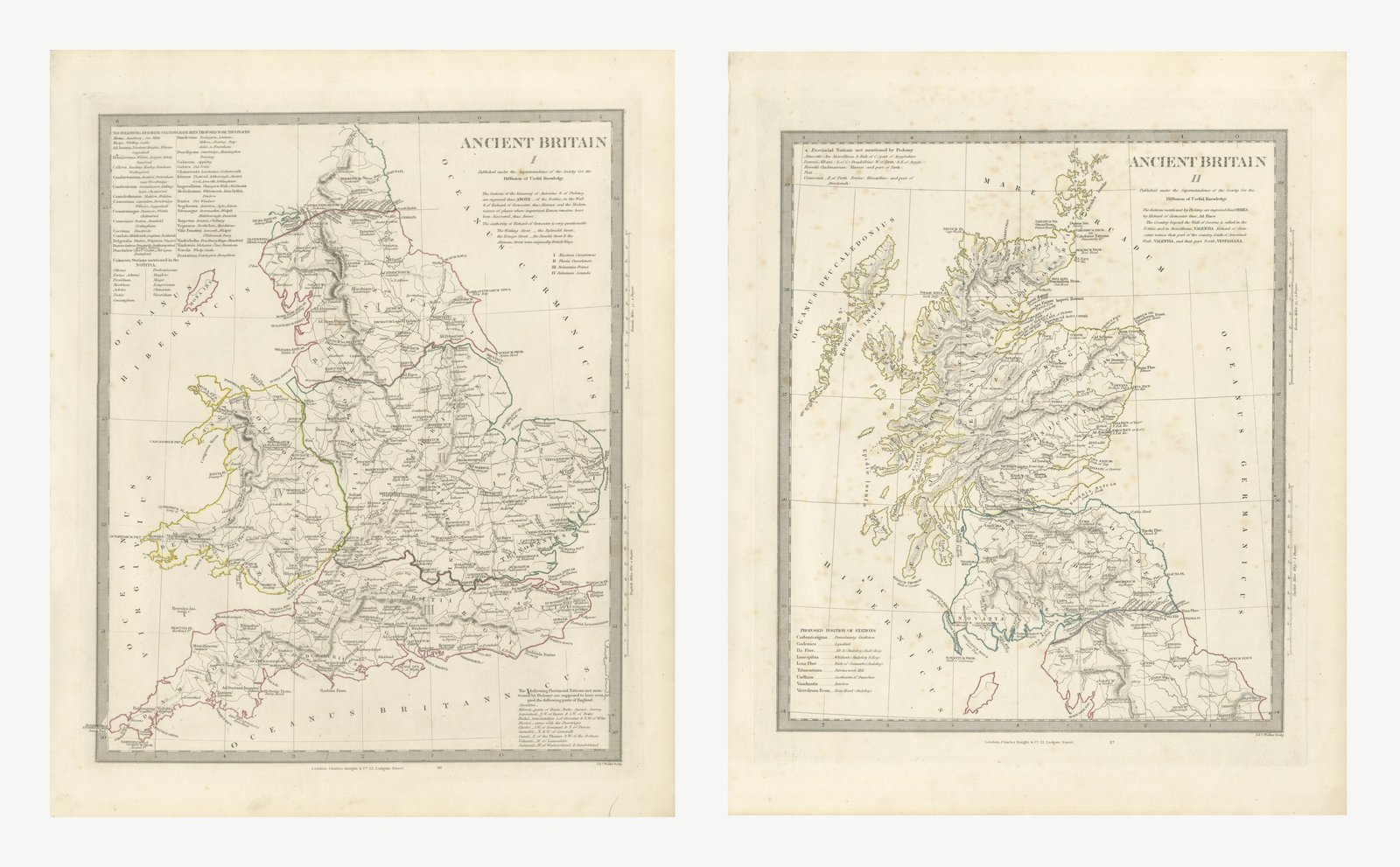
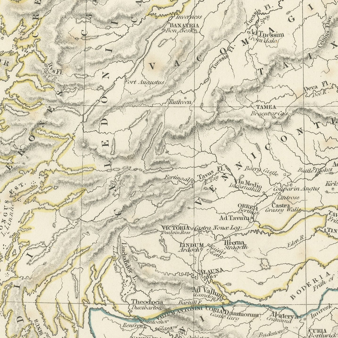
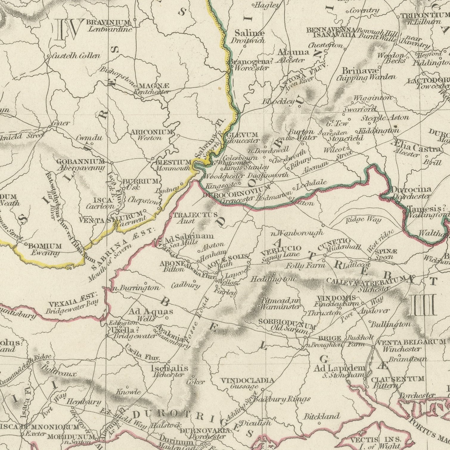
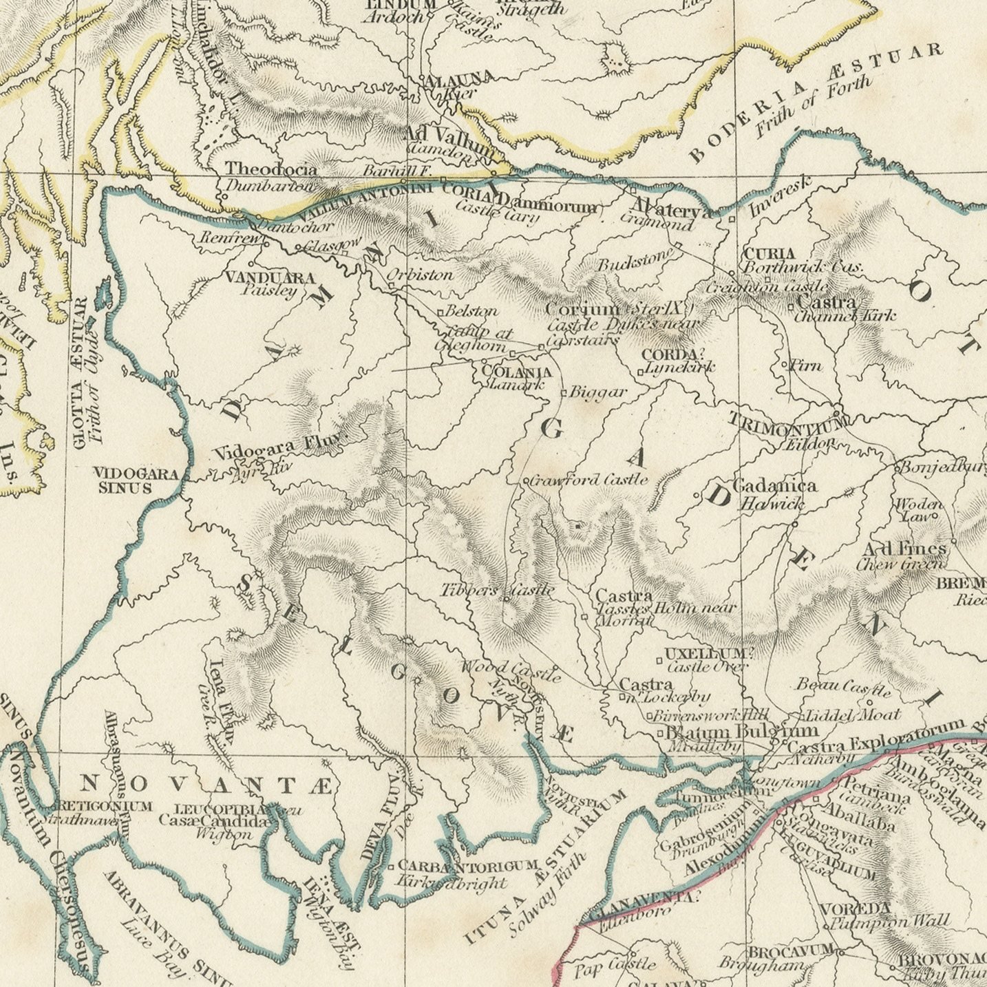
Roman Britain, Antique Map of Britannia and Caledonia on Two Sheets, 1845
Interior designers: BarTrade members buy at their trade price. How it works
- Sheet
- 35 cm × 44 cm (width × height)
- Framed as shown
- 57 cm × 65 cm
- Shown on
- Cream wall
- Size
- Medium, 50 to 80 cm (20 to 31 in) framed
- Date
- 1845
- Technique
- Steel Engraving
- Color
- Original hand color
- Condition
- Good
- Stock no.
- BG-14487-2-20
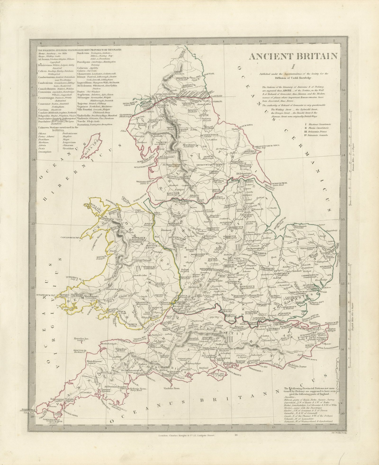
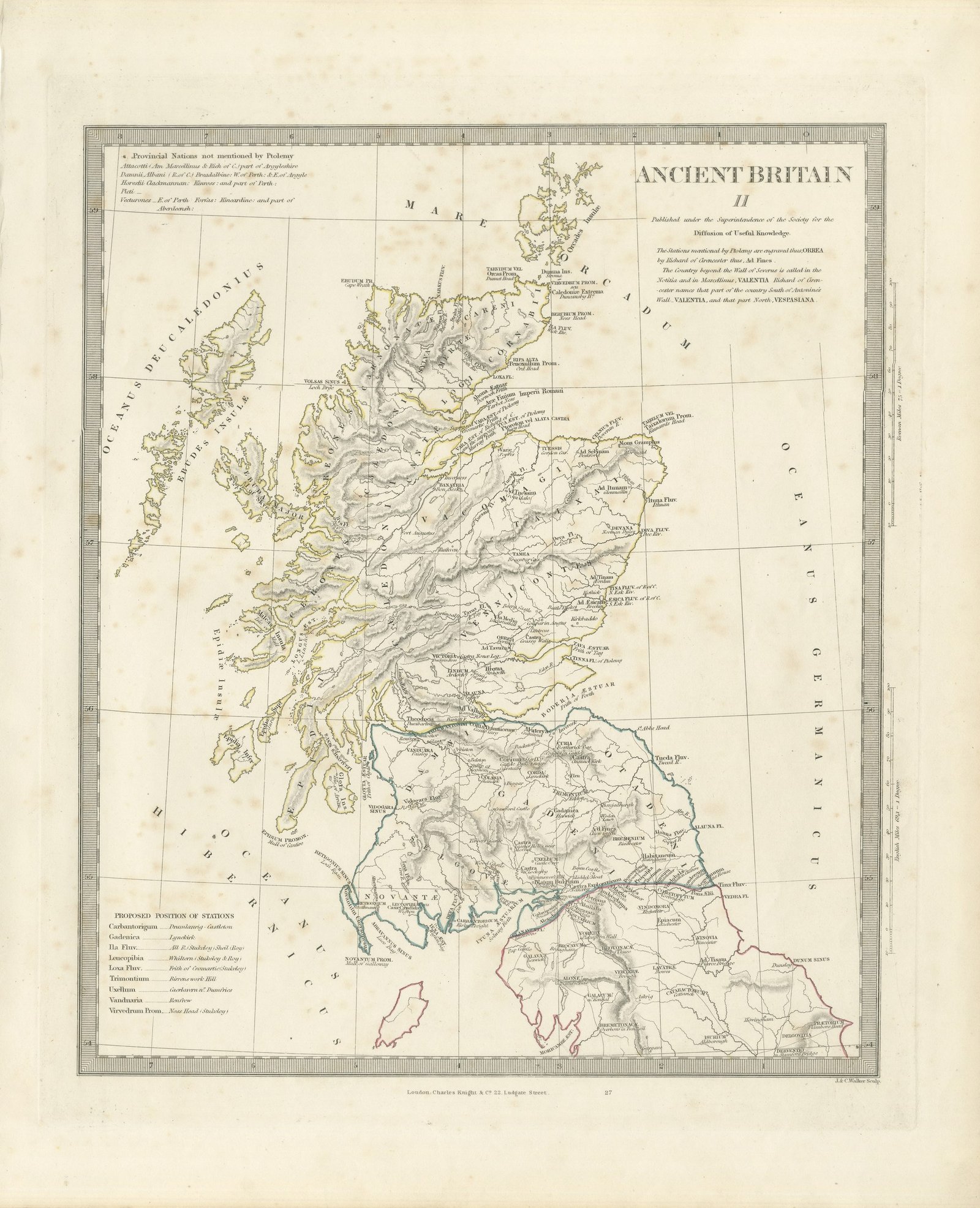
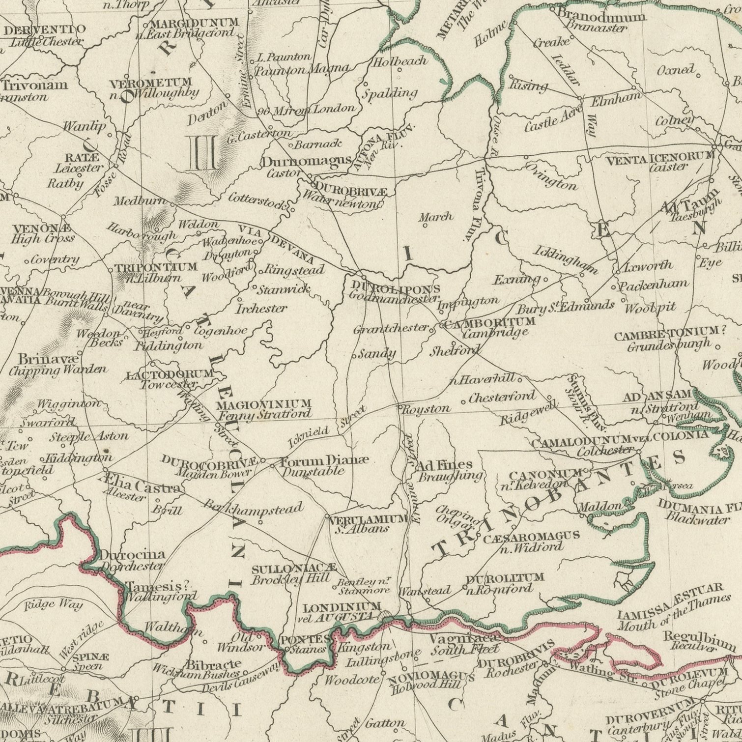
This is an original antique map of Roman Britain on the two sheets on which the Society for the Diffusion of Useful Knowledge printed it in 1845, offered together as one set. The first sheet covers England and Wales, with the four late Roman provinces of Maxima Caesariensis, Flavia Caesariensis, Britannia Prima and Britannia Secunda keyed by number and colored by hand, the tribal names engraved across the country from the Brigantes in the north to the Dumnonii in the south west, and every known station placed under its Latin name. The second sheet carries Scotland and the far north of England, with the Caledonii in the Highlands, the Selgovae, Novantae and Votadini in the Borders, the Ebudae and Orcadum Insulae over the Hebrides and the Orkneys, and the estuaries under their Roman names of Bodotria, Ituna, Varar and Tava. Both sheets distinguish typographically between the stations of the Itineraries of Antoninus and Ptolemy, those of the Notitia and modern places where Roman remains have been found, and both carry engraved notes on the sources, including the blunt remark that the authority of Richard of Cirencester is very questionable.
The sheets come from Maps of the Society for the Diffusion of Useful Knowledge, in the new edition corrected to the present time that Charles Knight and Company published at 22 Ludgate Street, London, in 1845, whose first volume covers Europe. The Society was founded in 1826 by Henry Brougham and his circle to publish useful knowledge at a low price. Its maps were issued in parts from 1829, first by Baldwin and Cradock, from 1842 by Chapman and Hall and then by Charles Knight, and the series grew to about two hundred maps. Most of them were engraved on steel by John and Charles Walker, and the outline color was applied by hand.
The sheets of this set belong to one map and are sold together.
Two sheets, both age toned. Foxing in the margins of all of them. The printed images are clean.
The set is two original sheets sold together, never split. These are original antique maps, not modern reproductions. This item is sold unframed.