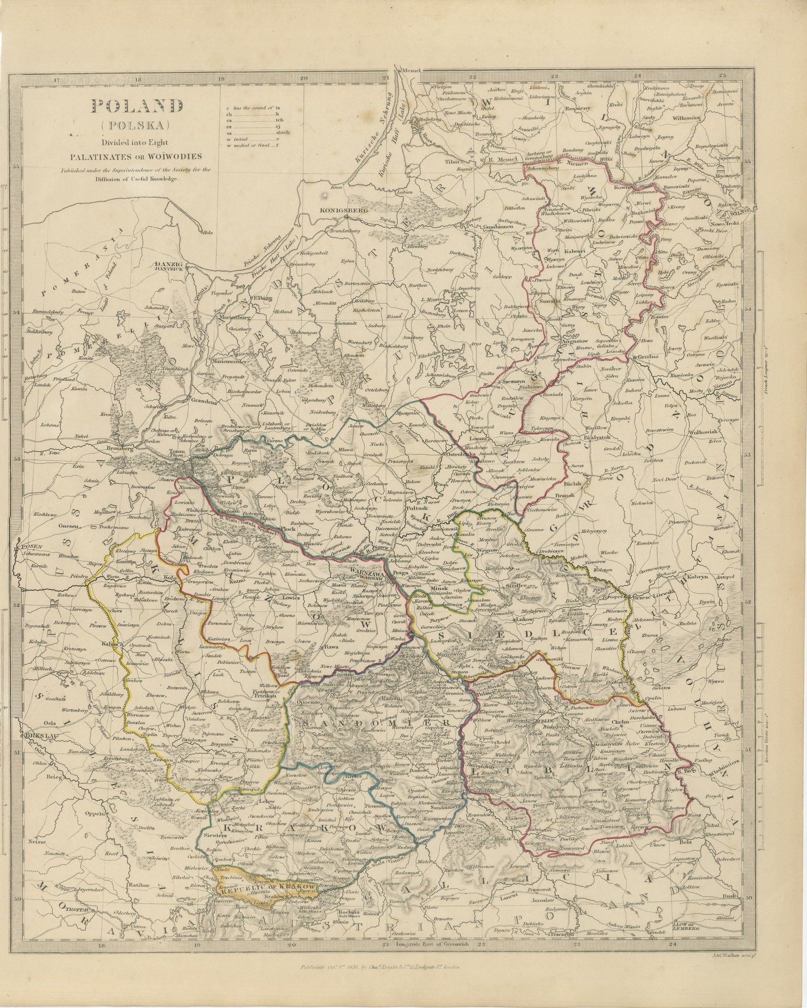
 The sheet, as you receive it
 In the room
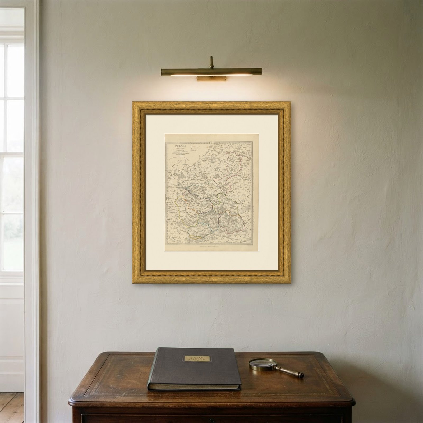
Interior designers: BarTrade members buy at their trade price. How it works
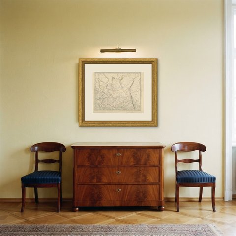
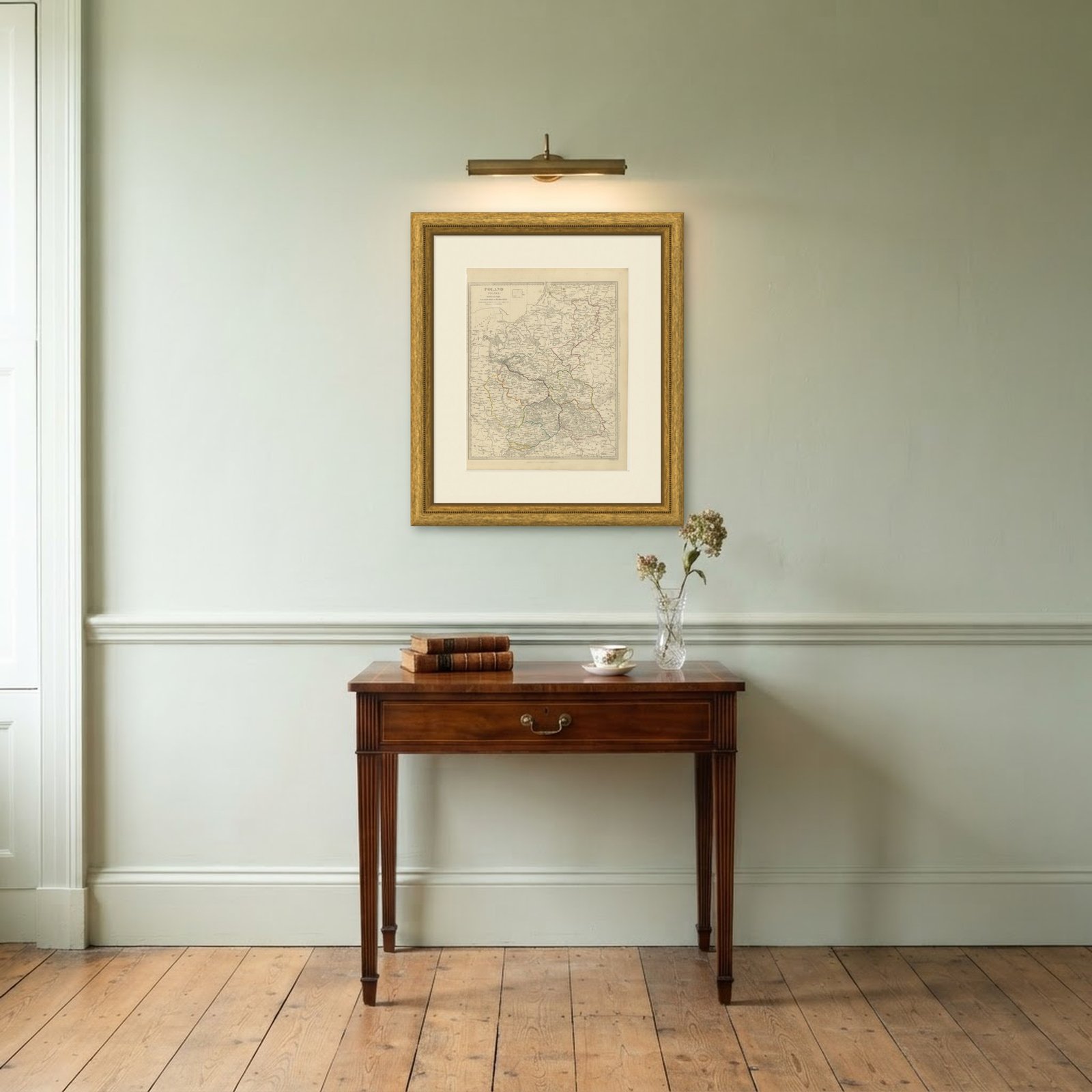
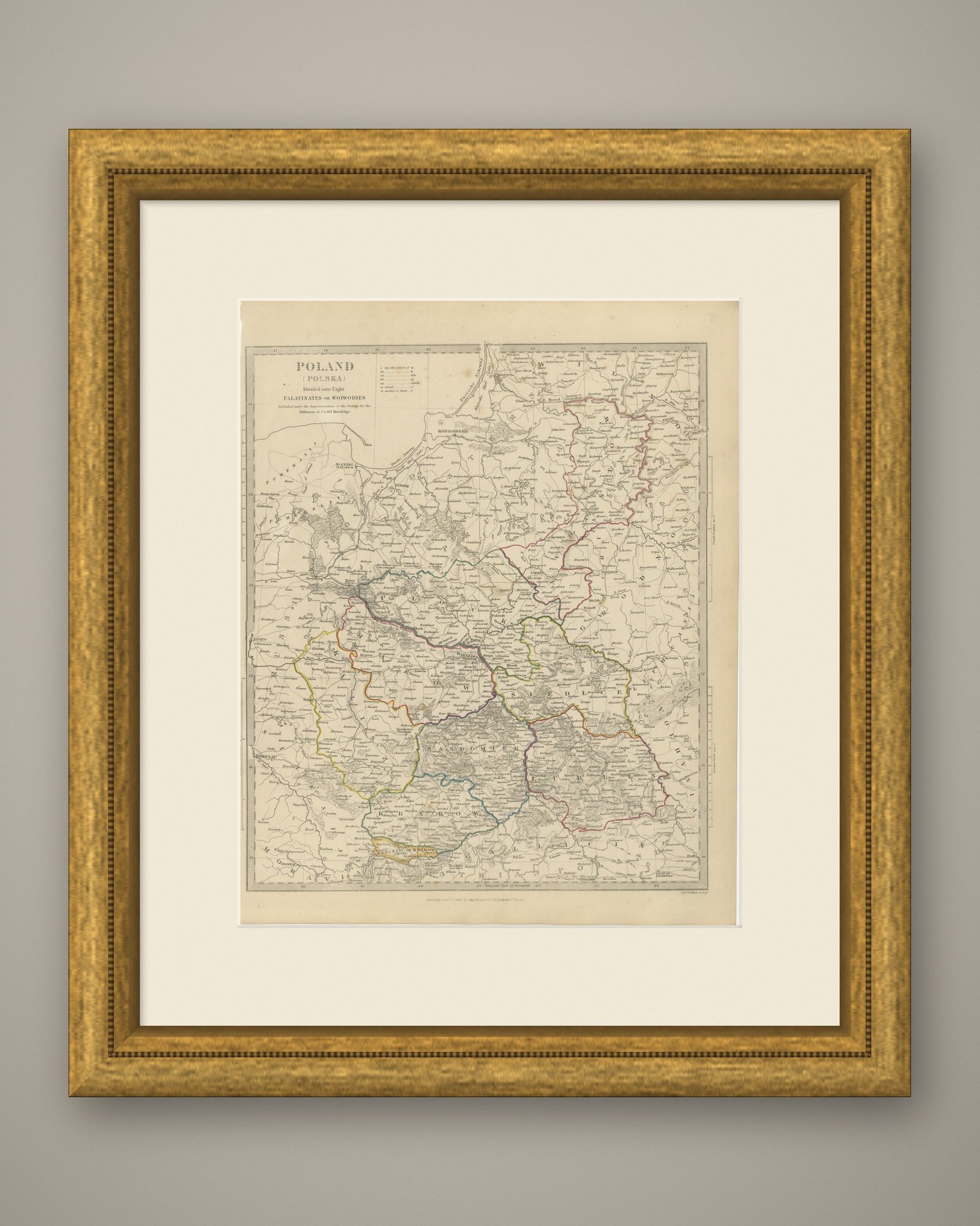
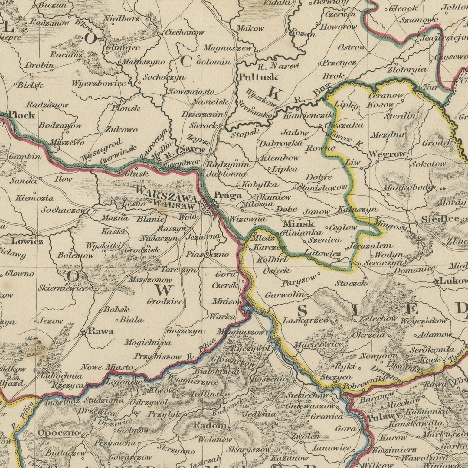
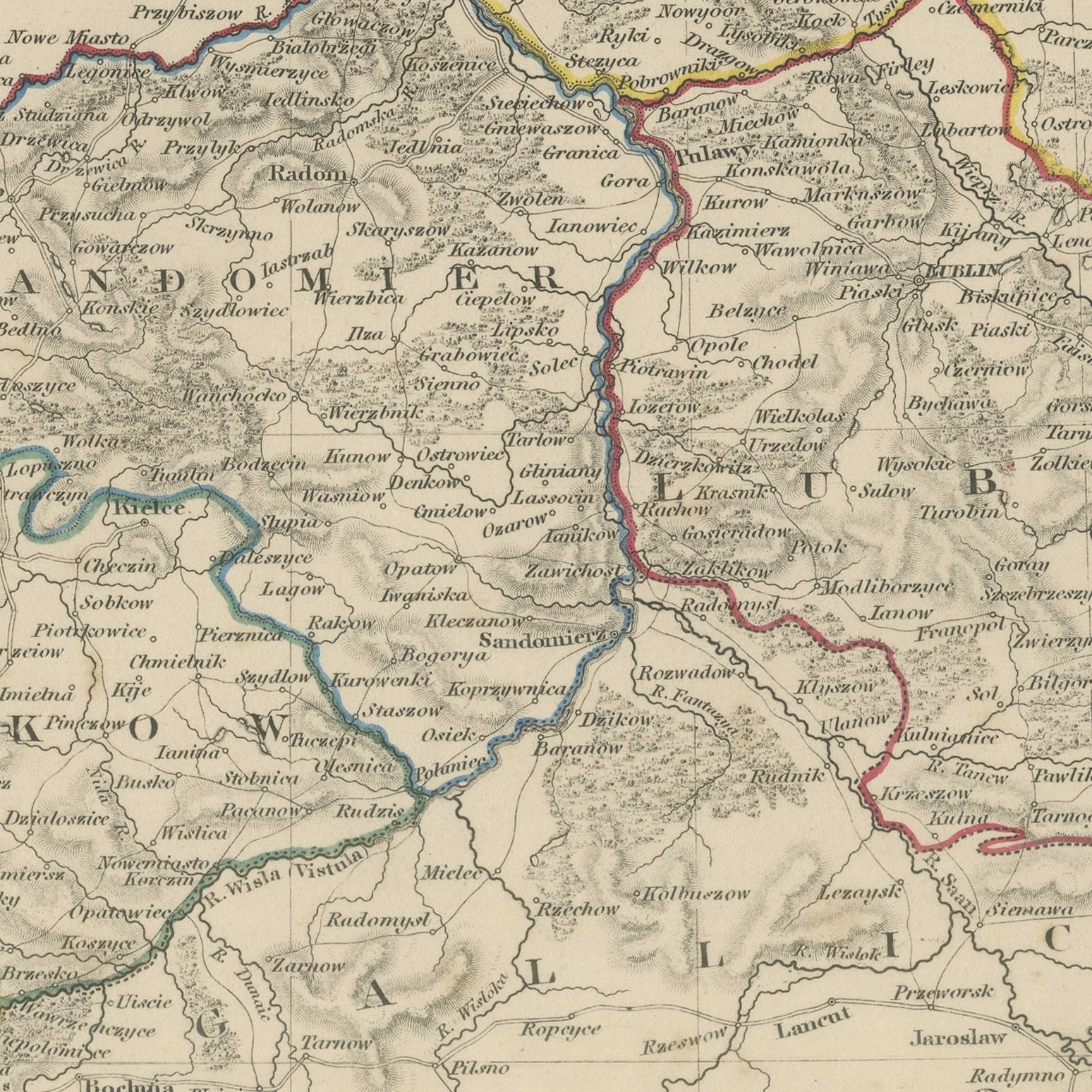
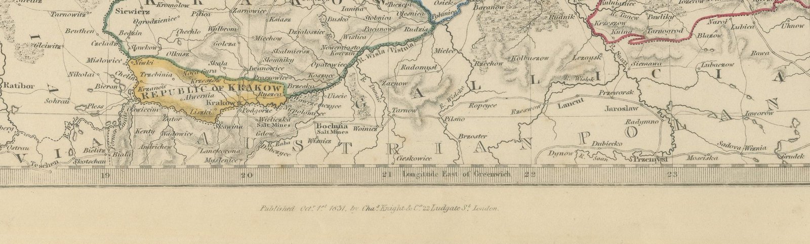
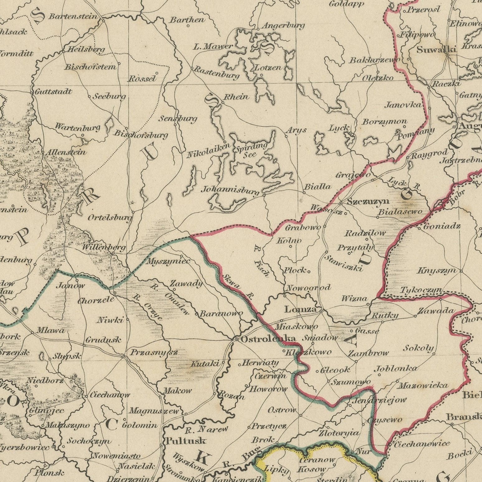
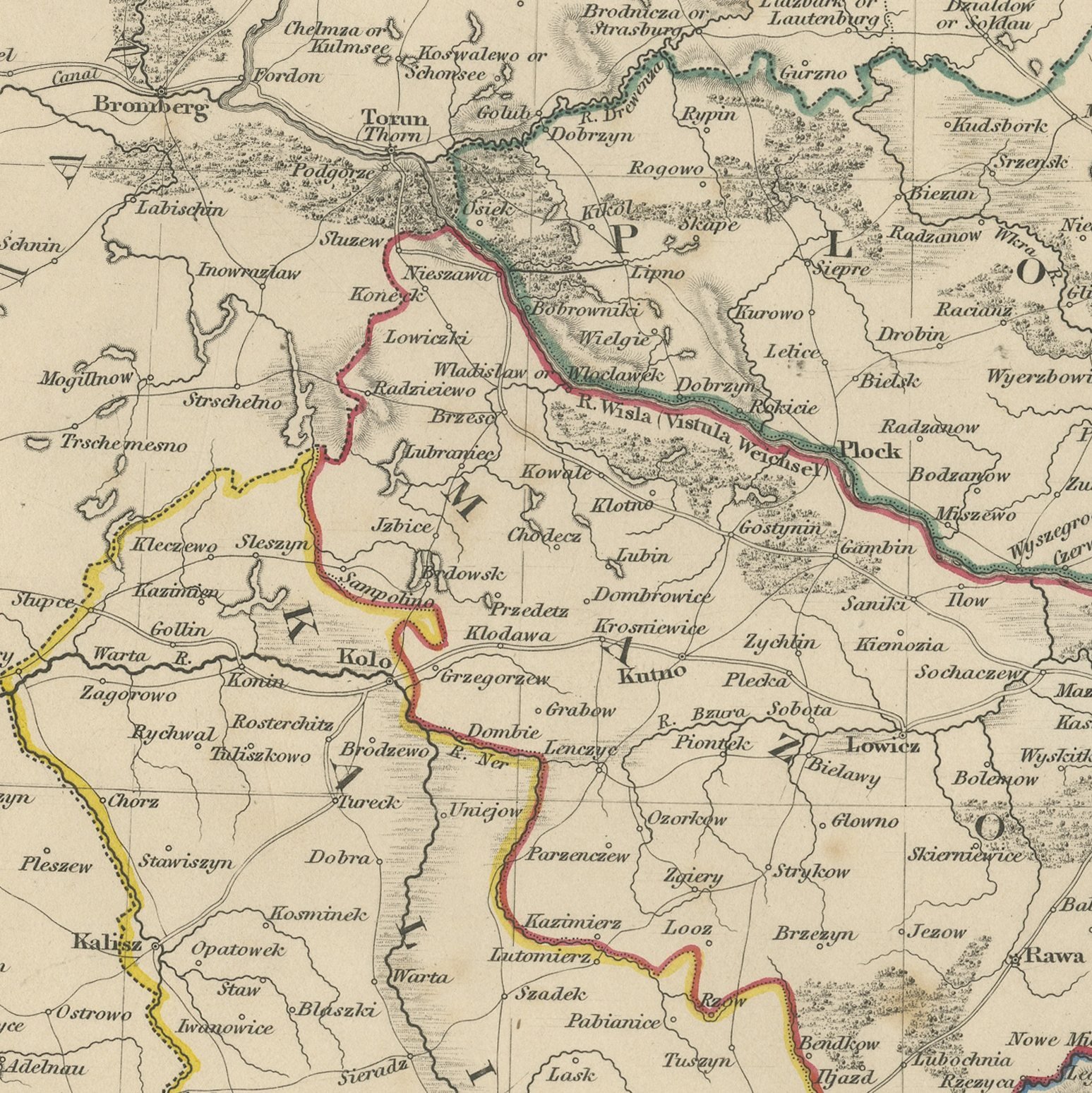
This antique map of Poland shows the kingdom divided into its eight palatinates or woiwodies, among them Kalisz, Plock, Siedlce, Lublin, Sandomierz and Krakow, each bounded in a separate band of hand applied color. Warsaw stands at the center on the Vistula, with Praga across the river, and Krakow and the free Republic of Krakow lie at the southern edge. Beyond the kingdom the sheet carries Prussian Poland with Konigsberg, Danzig, Elbing and Thorn, the Russian governments of Wilna, Grodno, Minsk and Witepsk to the east, and Galicia and Austrian Poland to the south, so that all three partitions appear on one plate. An engraved note beside the title gives the English reader a guide to Polish pronunciation, setting out that c has the sound of ts, ch of k, cz of tch, rz of rj and sz of shtch, and that w is sounded as v at the start of a word and as f in the middle or at the end. The imprint records publication on the first of October 1831.
The plate comes from Maps of the Society for the Diffusion of Useful Knowledge, in the new edition corrected to the present time that Charles Knight and Company published at 22 Ludgate Street, London, in 1845, whose first volume covers Europe. The Society was founded in 1826 by Henry Brougham and his circle to publish useful knowledge at a low price. Its maps were issued in parts from 1829, first by Baldwin and Cradock, from 1842 by Chapman and Hall and then by Charles Knight, and the series grew to about two hundred maps. Most of them were engraved on steel by John and Charles Walker, and the outline color was applied by hand.
The imprint at the foot names Charles Knight and Company of 22 Ludgate Street, London and is dated 1 October 1831.
Strong age toning, the paper a warm buff, with the paper darker along the right edge, a few foxing spots in the margins and handling wear to the bottom right corner. The printed image itself is clean.
This is an original antique map, not a modern reproduction. This item is sold unframed.