 The sheet, as you receive it
 In the room
Interior designers: BarTrade members buy at their trade price. How it works
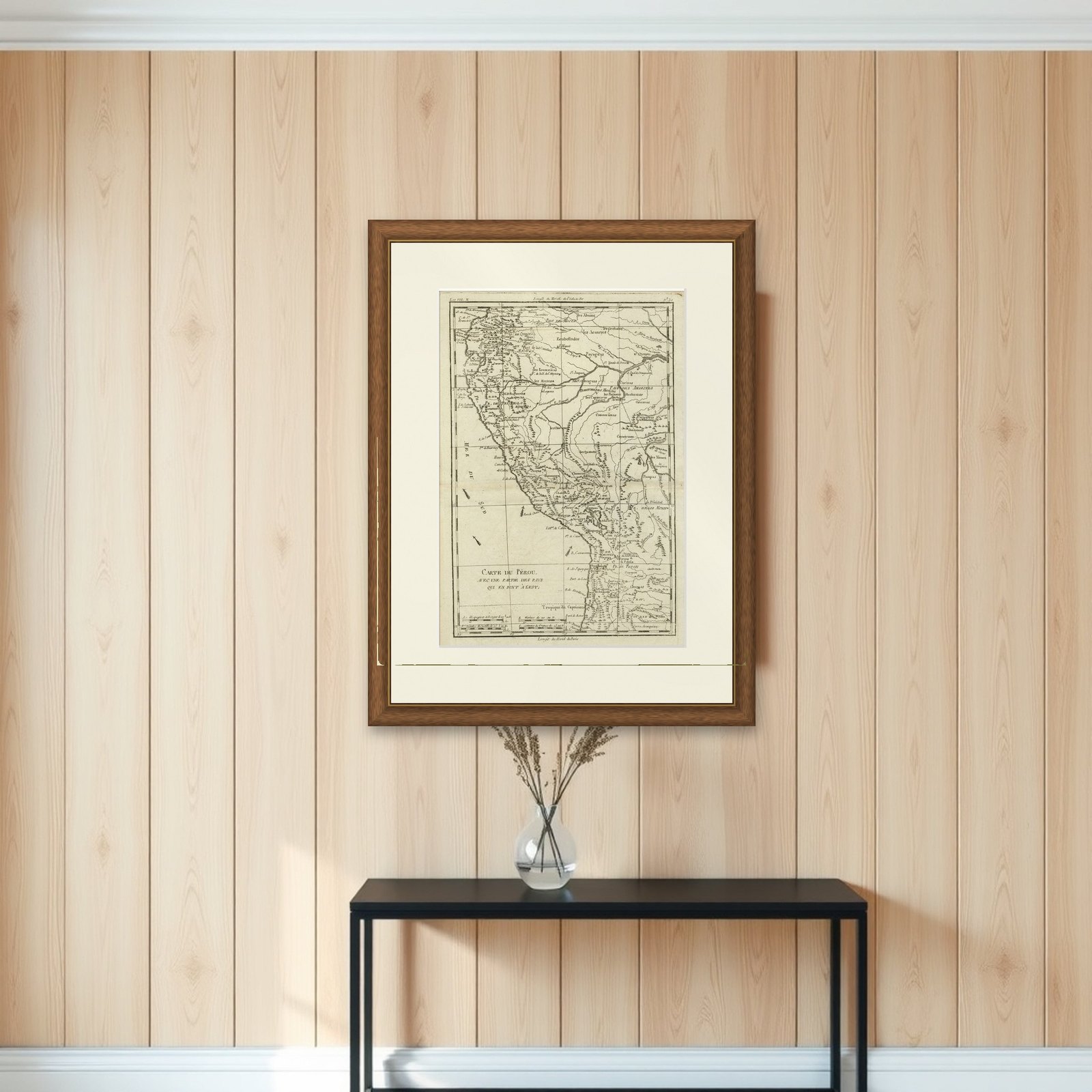
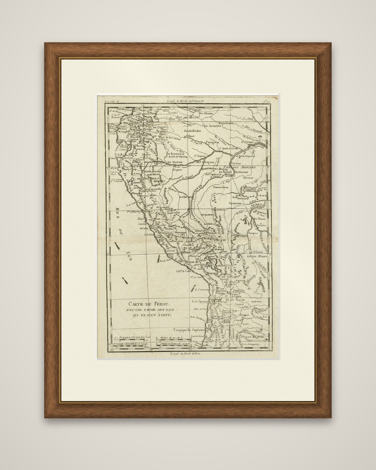
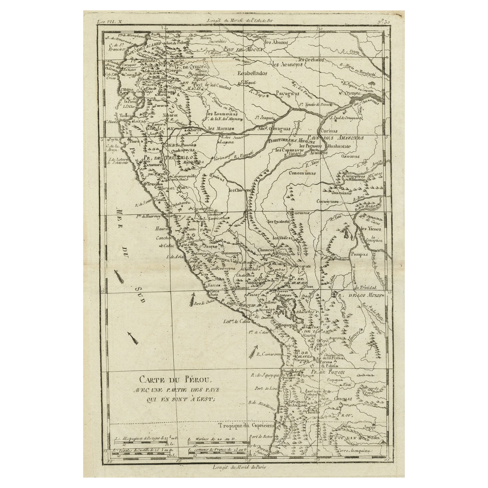
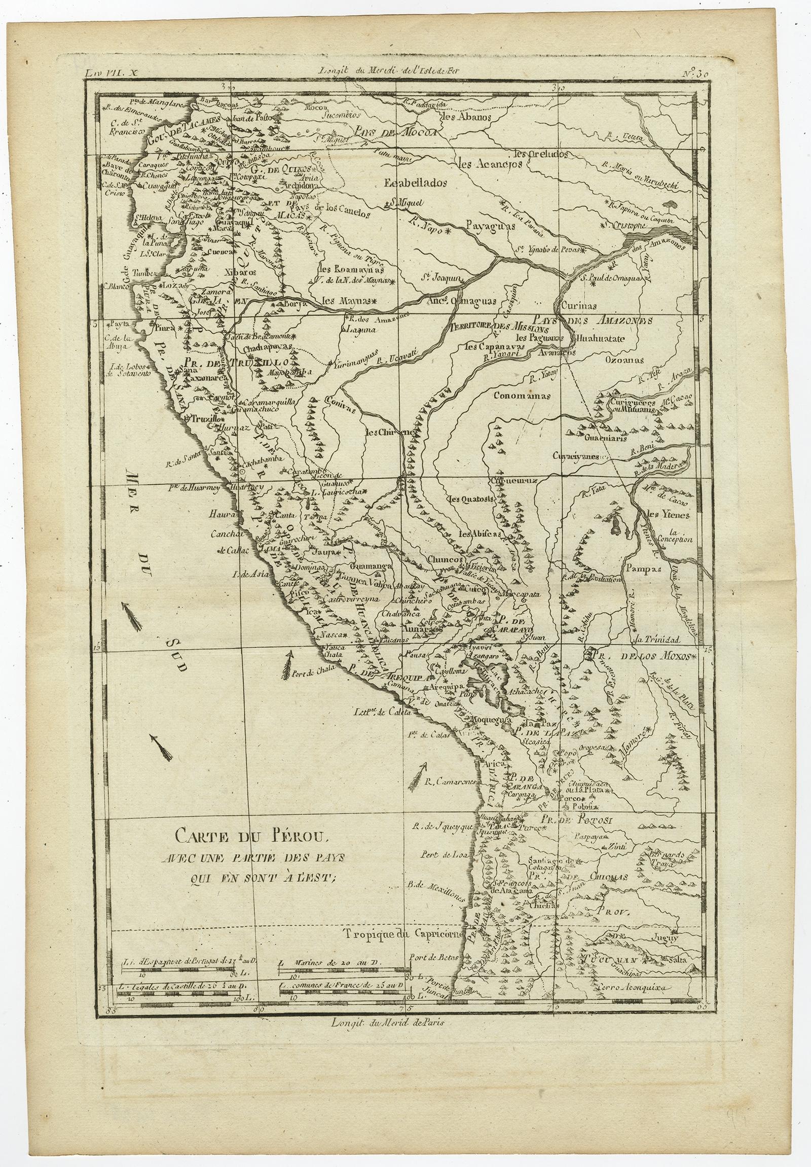
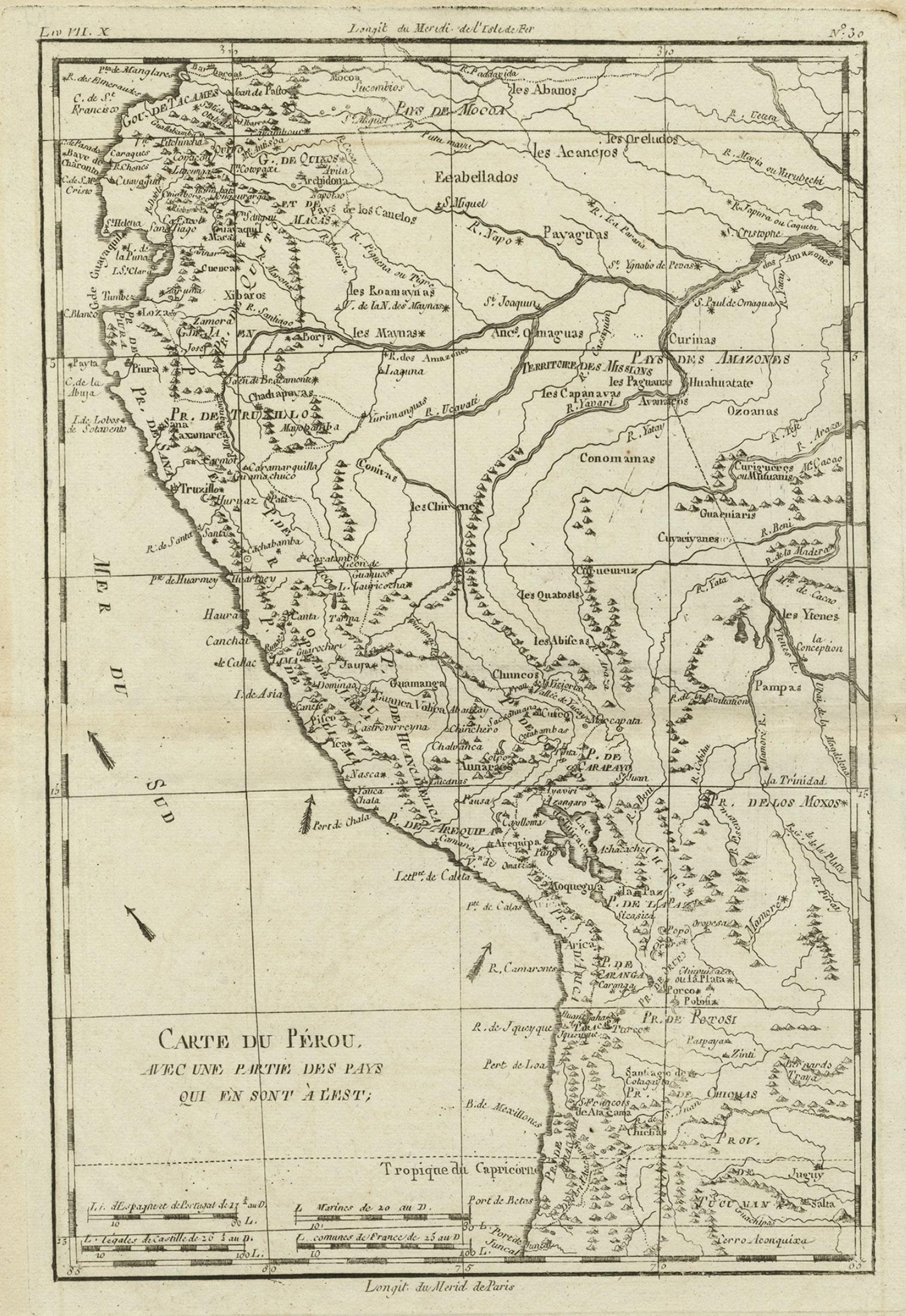
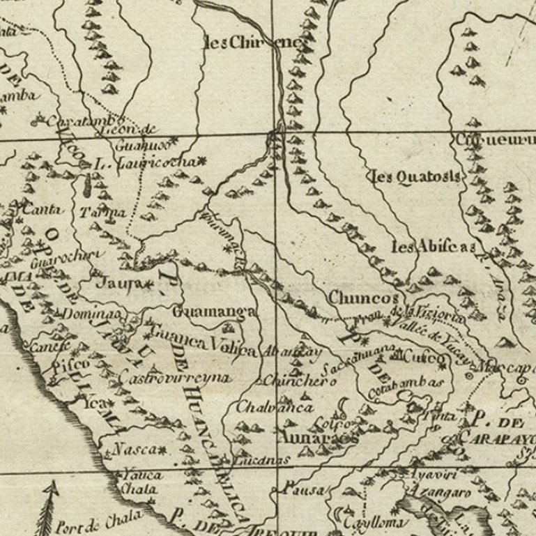
Carte du Pérou avec une partie des pays qui en sont à l'est, an original copper engraved map of Peru and the neighboring lands by Rigobert Bonne, c.1780. The title is in a simple cartouche at the lower left, with a scale in Spanish leagues and French leagues, and the sheet is printed in black without color.
The map shows the Pacific coast, labeled Mer du Sud, from near the equator at the top to the Tropic of Capricorn at the bottom, running through Peru and the highlands of present-day Bolivia into northern Chili. Towns, ports and rivers are lettered along the coast. Inland, the sheet names the Andean provinces and the missions of the interior, among them the lands of the Amazons, the Pampas and the territory of the Mojos, with hundreds of small place names and hachured ranges of the Andes. Rivers flow eastward toward the Amazon basin.
Rigobert Bonne (1727 to 1795) was one of the most important French cartographers of the late eighteenth century. In 1773 he succeeded Jacques Bellin as hydrographer at the Dépôt de la Marine, and his maps are admired for their detail and for their plain, practical style.