 The sheet, as you receive it
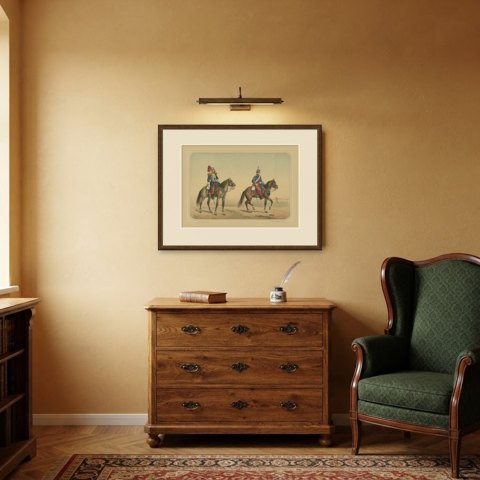
 In the room

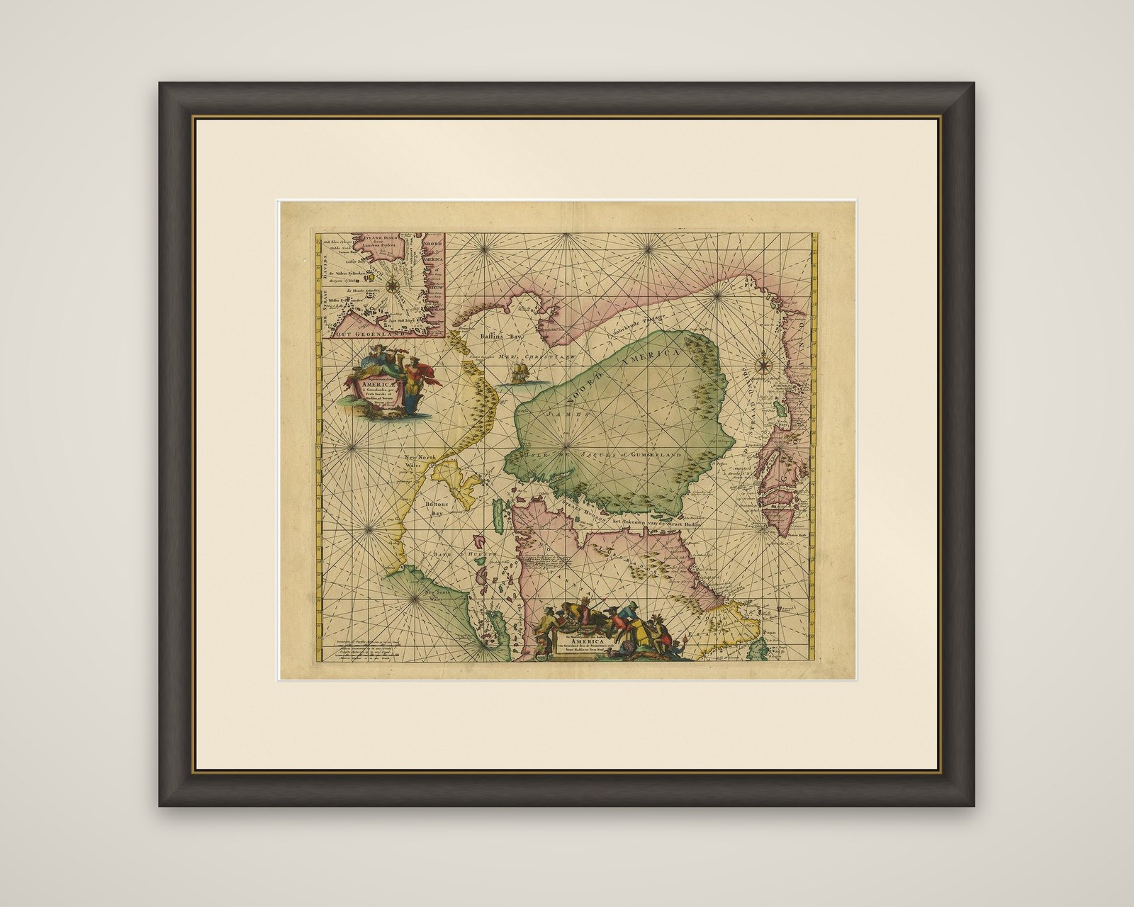
Interior designers: BarTrade members buy at their trade price. How it works
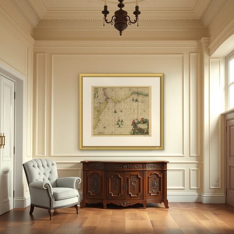
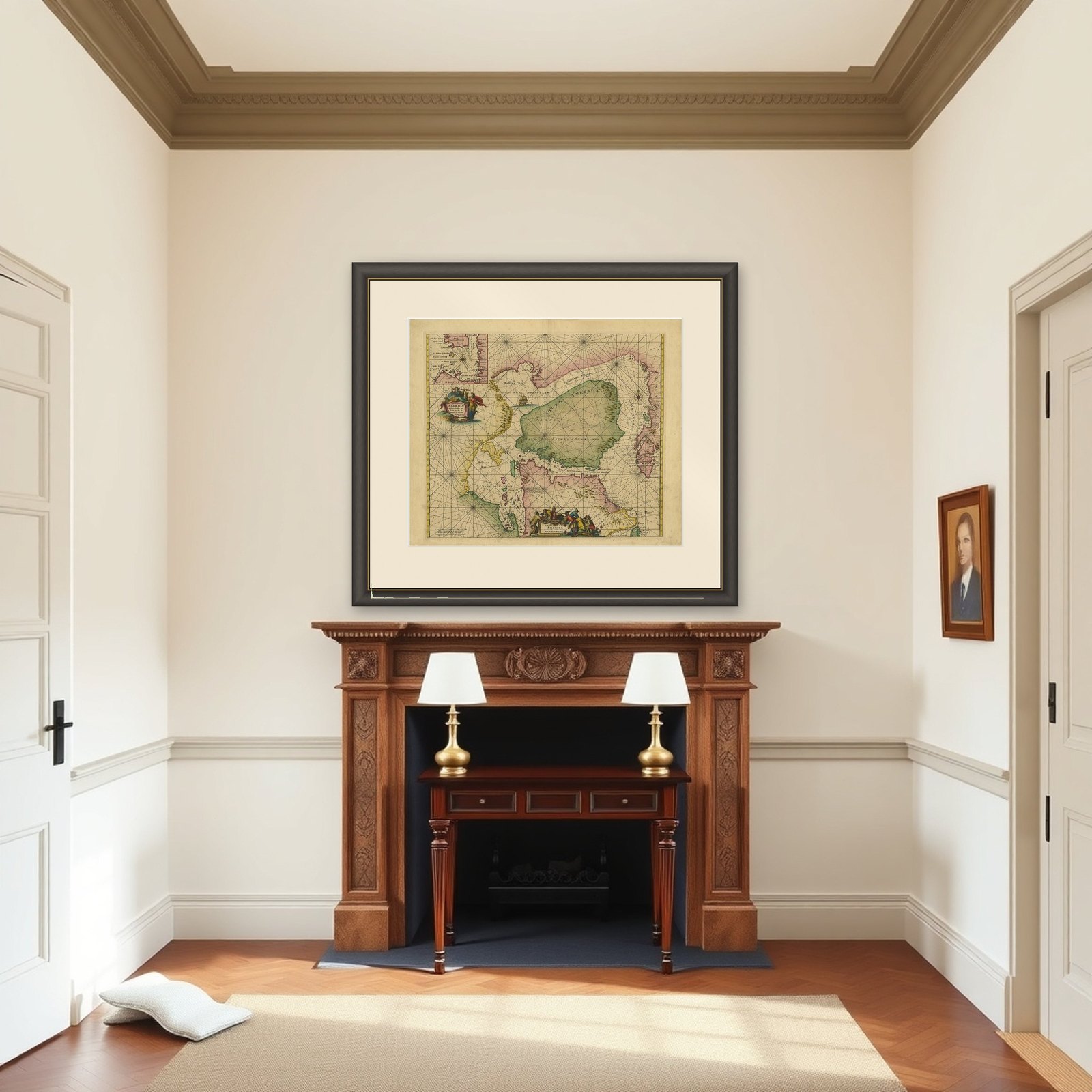
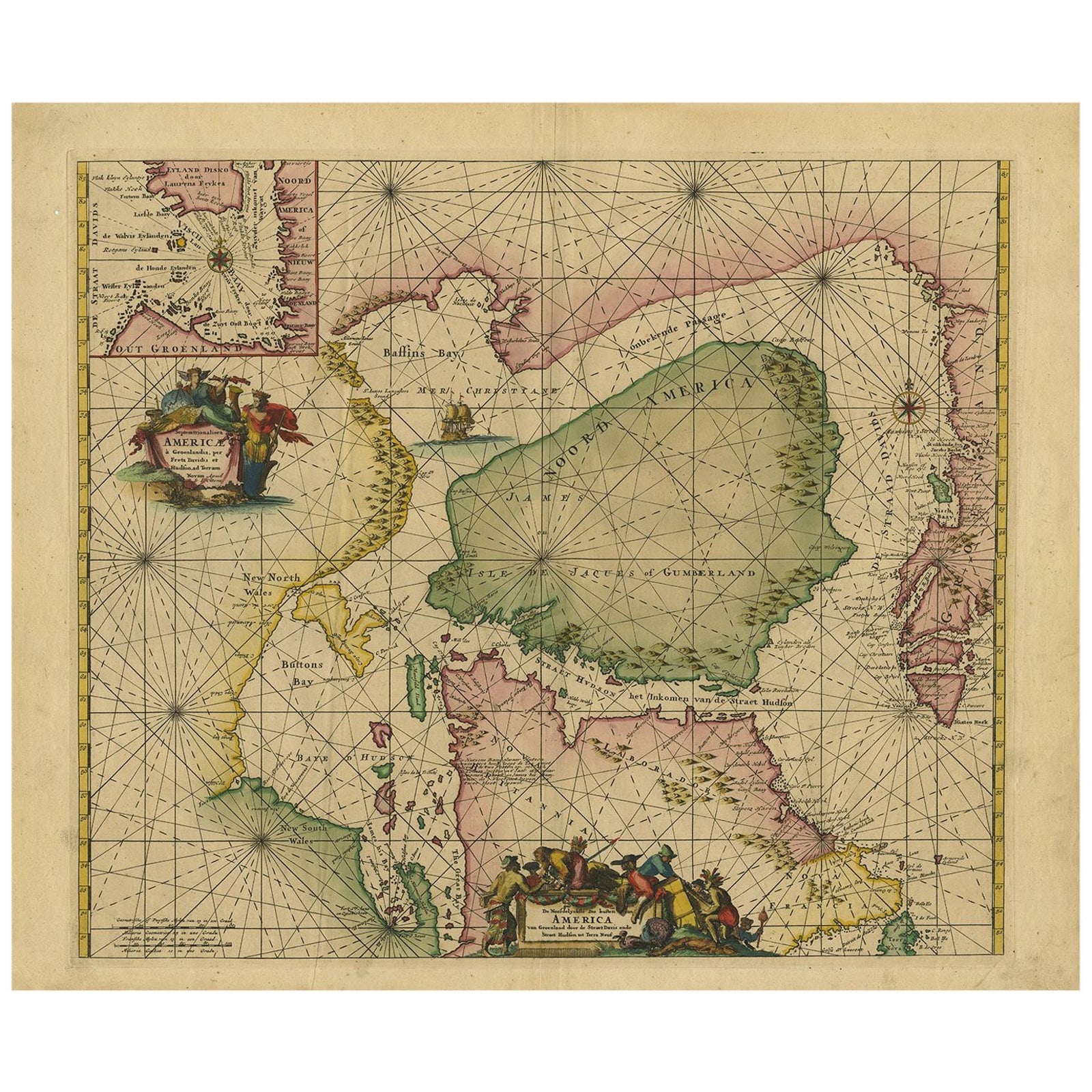
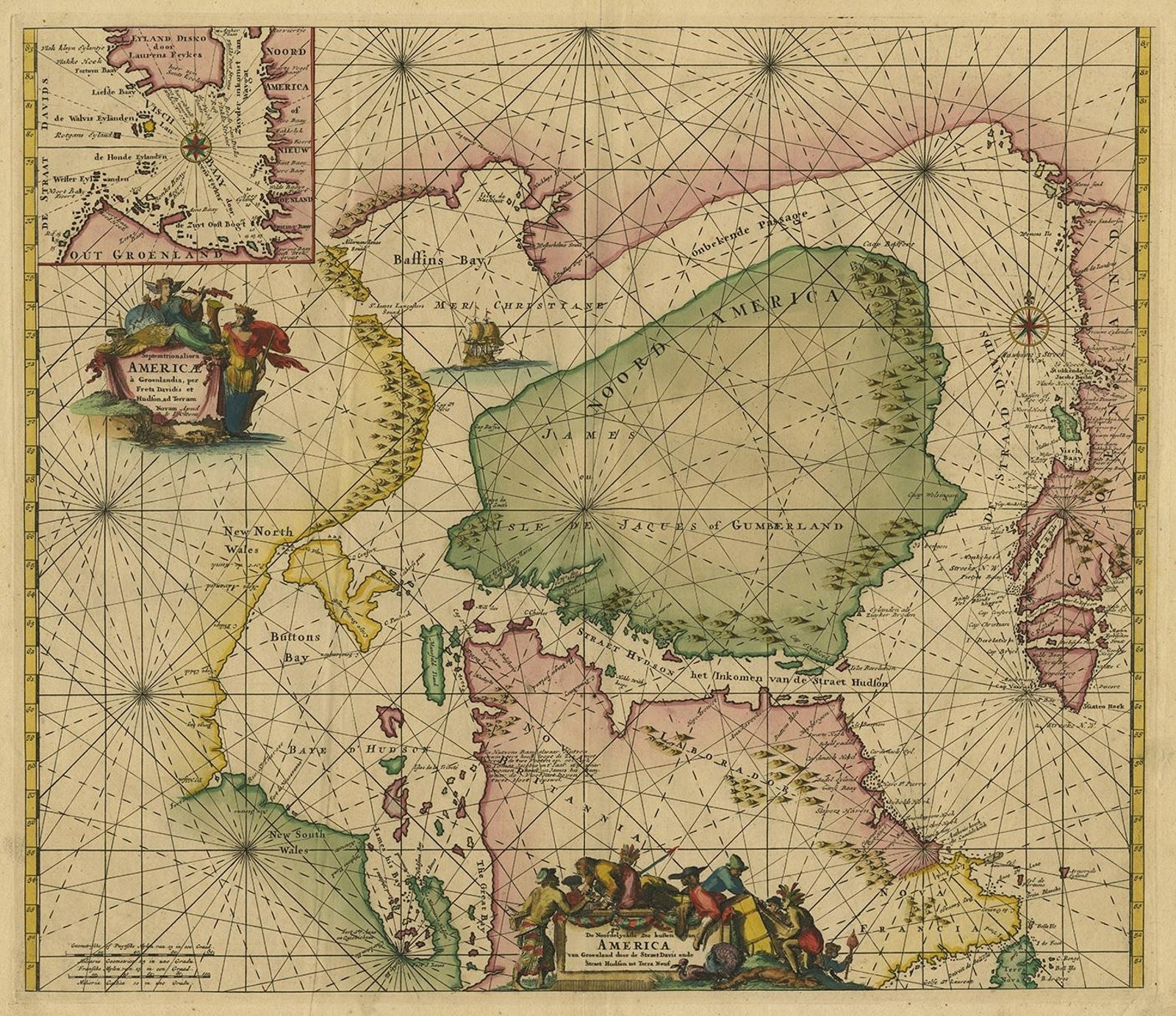
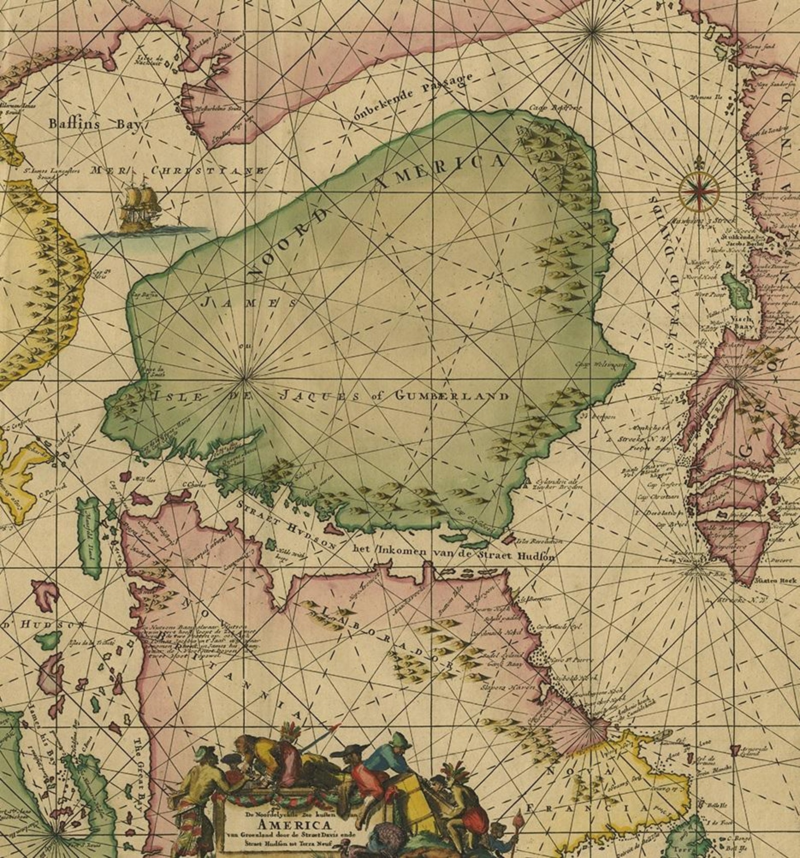
A sea chart of the northern waters of North America, titled "Septemtrionaliora Americae a Groenlandia," engraved by Frederick de Wit for his atlas of 1675 and revised for the 1745 edition of Otten's Sea Atlas (Atlas van de Zeevaart). The chart is an engraving with hand coloring, drawn with compass roses and crossing rhumb lines over the sea.
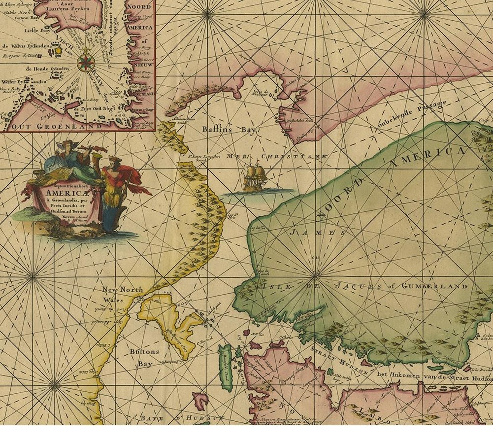
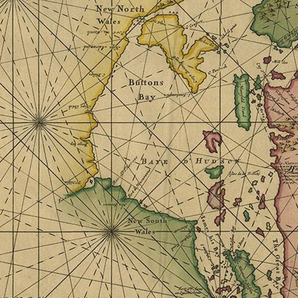
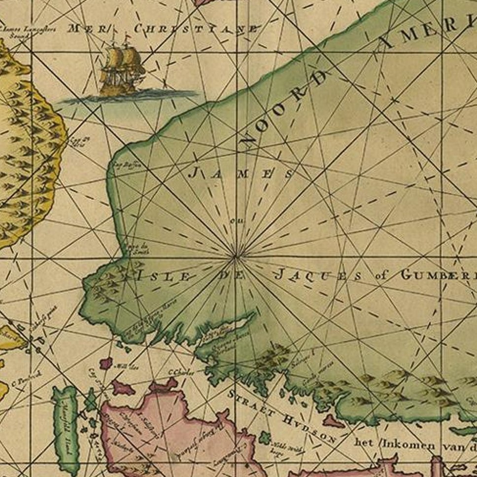
The chart covers Labrador and part of Newfoundland, the west coast of Greenland, Davis Strait, and, by a non-existent passage, Baffin Bay and, through Hudson Strait, Hudson Bay. Hudson Bay is shown as a large green gulf with the name of James, and the coasts of "New North Wales," "Button's Bay" and "Nova Britannia" are lettered along the western shore. An allegorical cartouche with the title and figures stands at the center left, and a small ship sails in Baffin Bay. A separate inset at the upper left gives a more detailed chart of the fishing grounds at Disko Bay on the Greenland coast, with soundings and place names.
The chart reflects the Dutch interest in the northern whaling and fishing grounds and in the search for a Northwest Passage.