 The sheet, as you receive it
 In the room

Interior designers: BarTrade members buy at their trade price. How it works
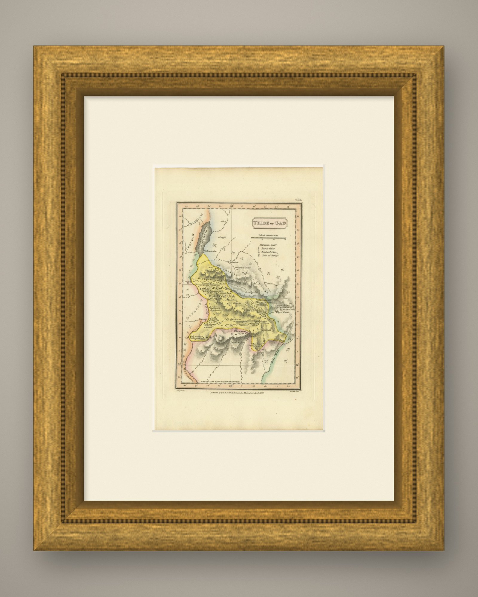
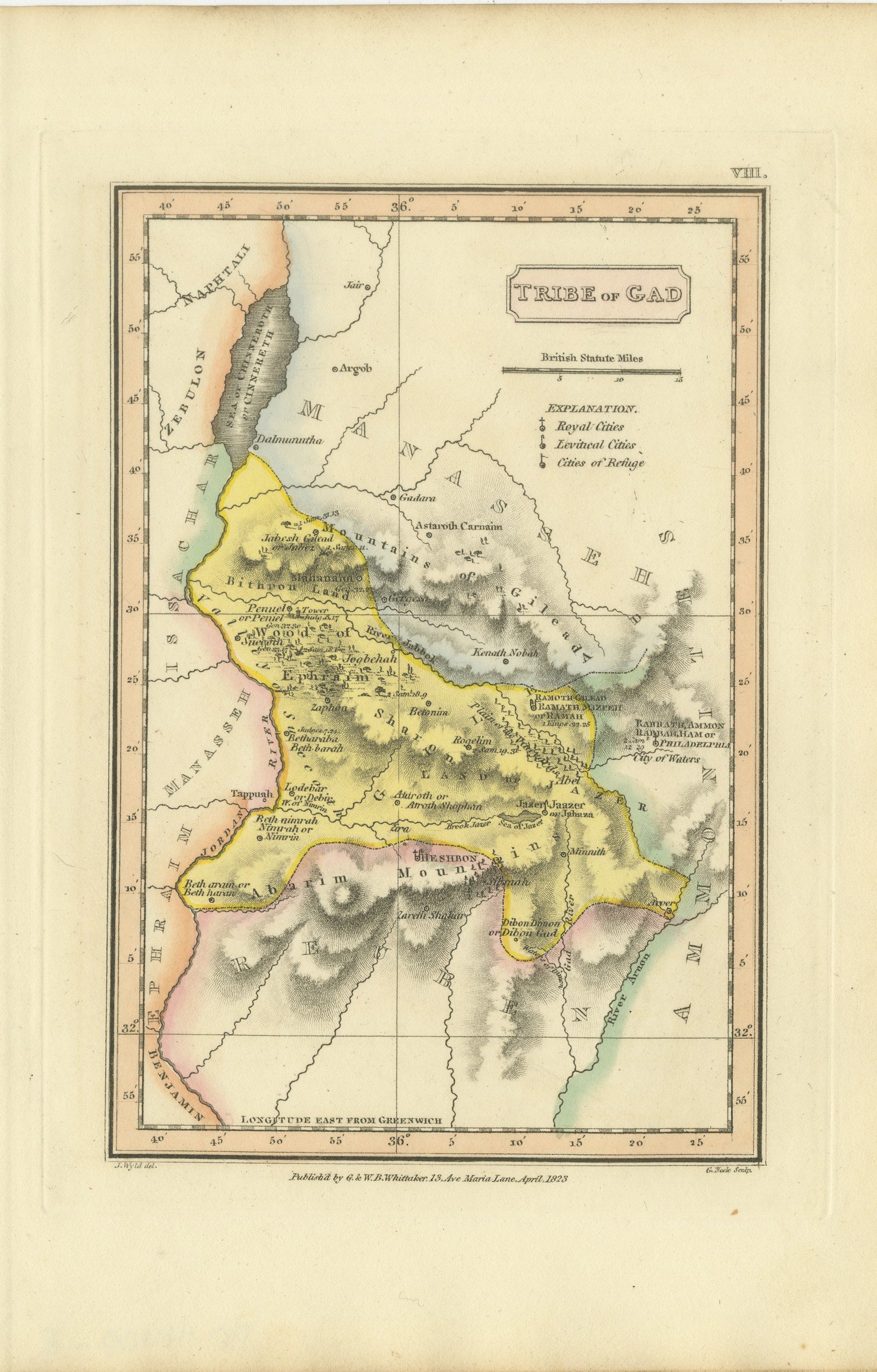
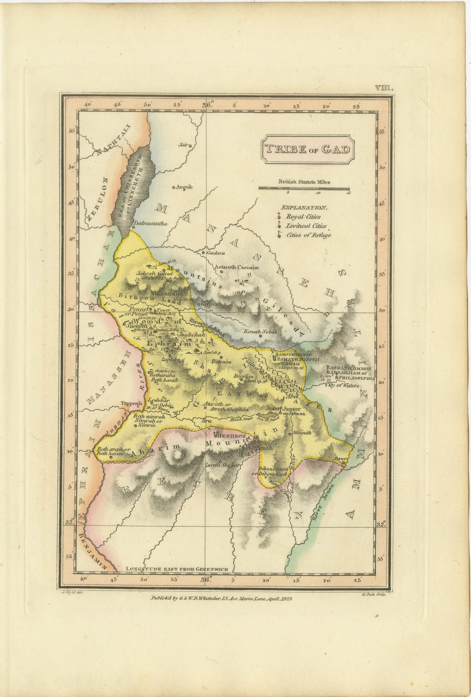
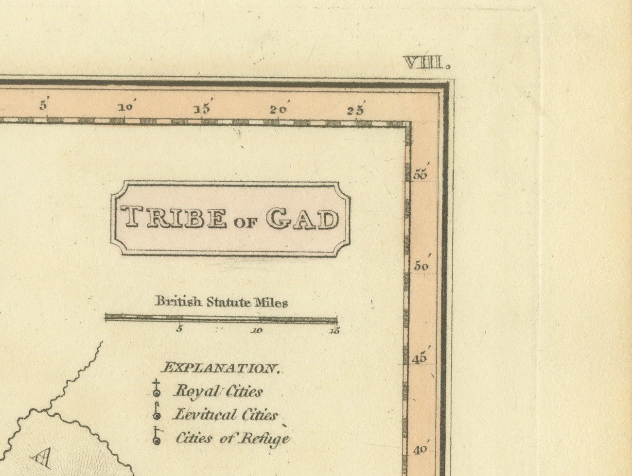
This is an original antique copper engraved map with original hand coloring, published in 1823 as plate VIII of James Wyld's Geographia Sacra, or Scripture Atlas. The title, engraved in a panel at the upper right, reads "TRIBE of GAD".
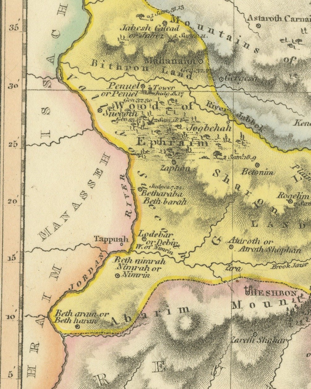
Gad is washed in yellow east of the Jordan, from Dalmanutha at the foot of the Sea of Chinnereth, which is shaded at the upper left, south past the Jabbok and Penuel to Heshbon and the mountains of Abarim. Ramath Mizpeh, Jaazer and Dibon Gad are among the towns lettered across the land, and the Mountains of Gilead are worked in hachure. Manasseh lies to the north and east, Reuben to the south, and the River Arnon runs along the lower right. Below the title are a scale of British Statute Miles and an explanation that keys royal cities, Levitical cities and cities of refuge. Longitude east from Greenwich is engraved along the lower border.
Under the lower left corner of the border is the credit "J. Wyld del.", under the lower right corner "G. Neele Sculp.", and centered between them the imprint "Publish'd by G. & W. B. Whittaker, 13, Ave Maria Lane, April, 1823" The plate number "VIII." is engraved above the upper right corner of the border.
The sheet belongs to Geographia Sacra, or Scripture Atlas, issued in London in 1823 by G. and W. B. Whittaker. On the engraved title page of the atlas Wyld is described as "of the Quarter Master General's Office, Horse Guards". James Wyld the elder (1790 to 1836) was a London geographer and map publisher.
Even age toning. Marked handling soiling along the bottom, right and top edges. Foxing over much of the margin. Slight wear at the top right corner. Several larger brown marks.
This is an original antique map, not a modern reproduction. This item is sold unframed.