 The sheet, as you receive it
 In the room
Interior designers: BarTrade members buy at their trade price. How it works
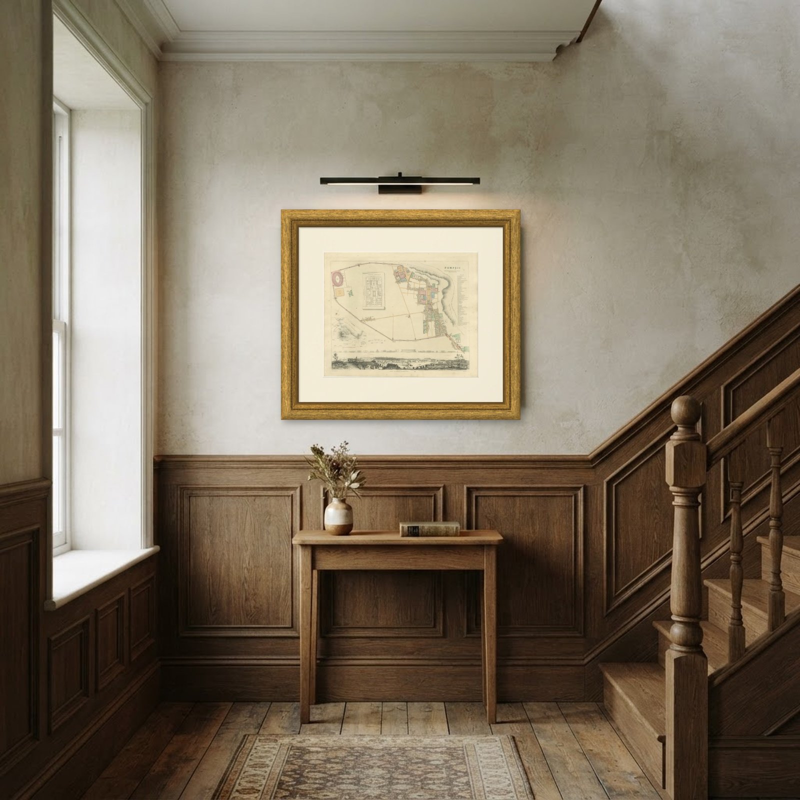
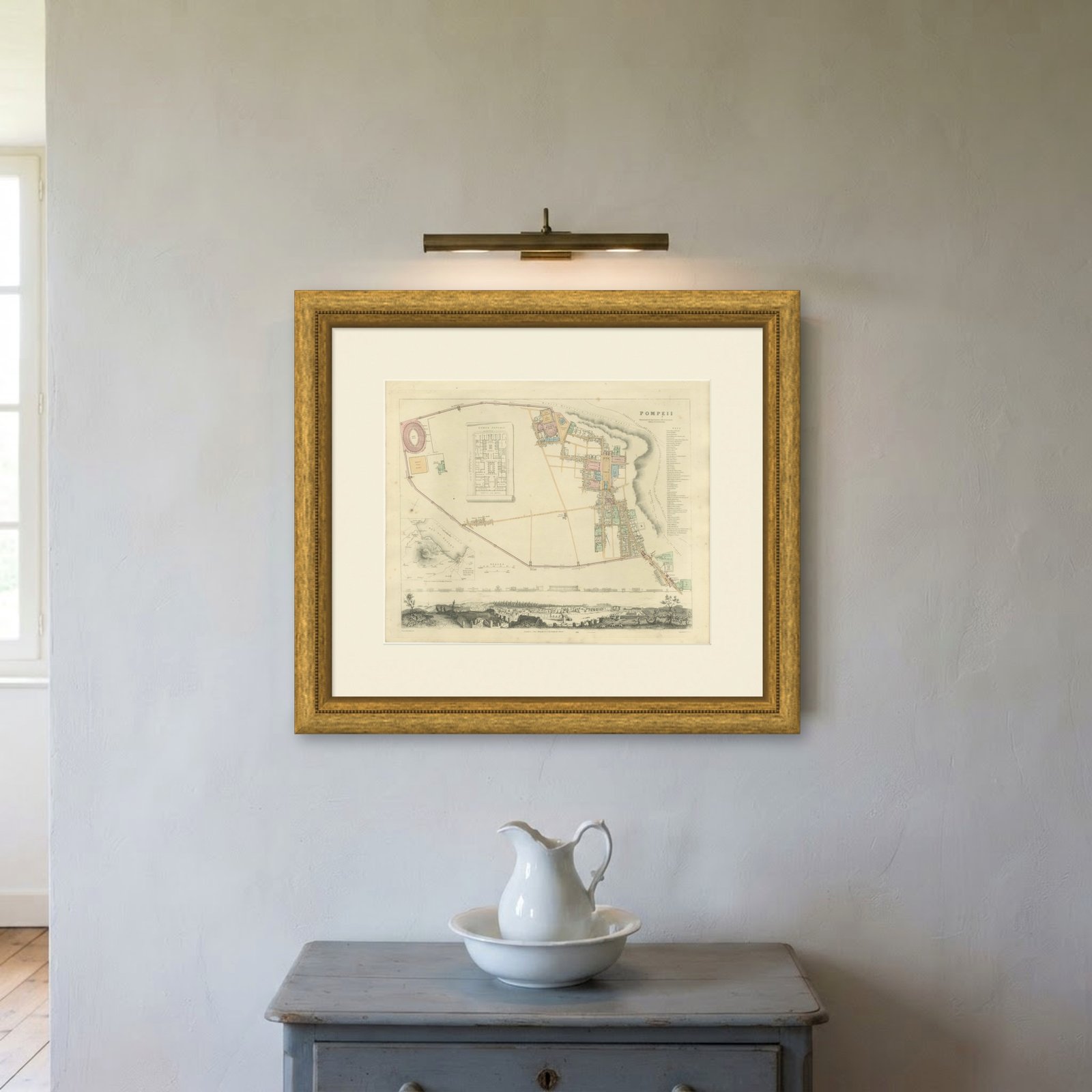
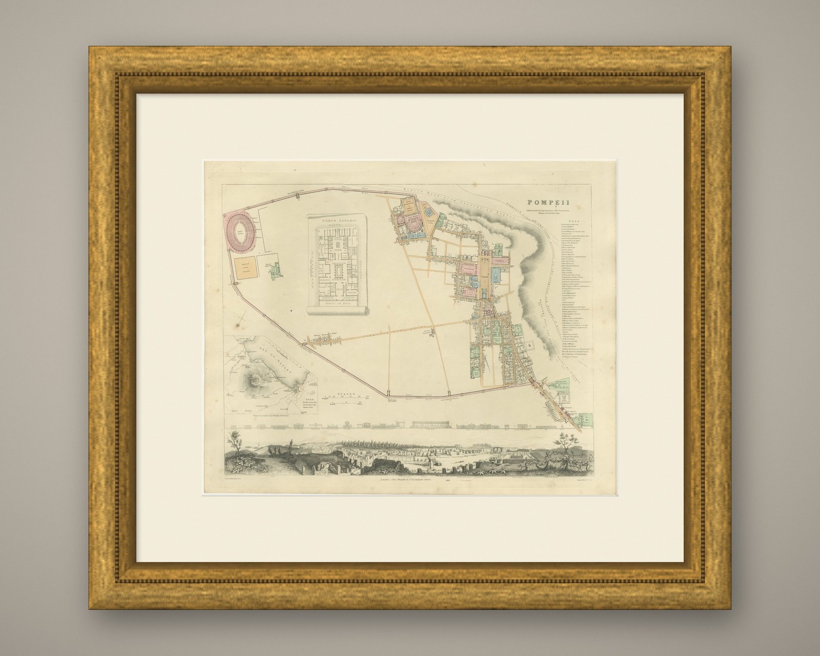
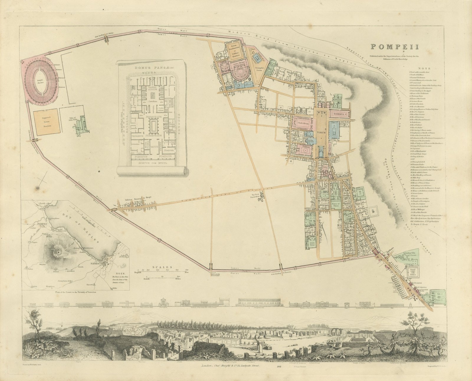
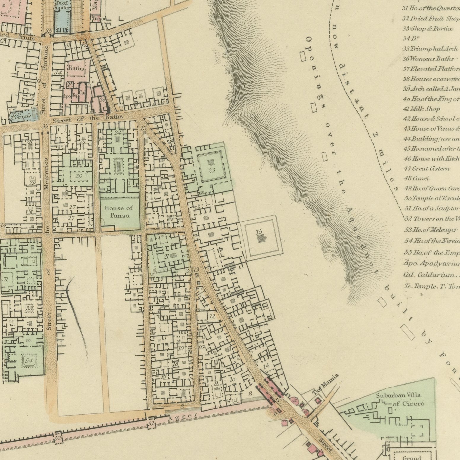
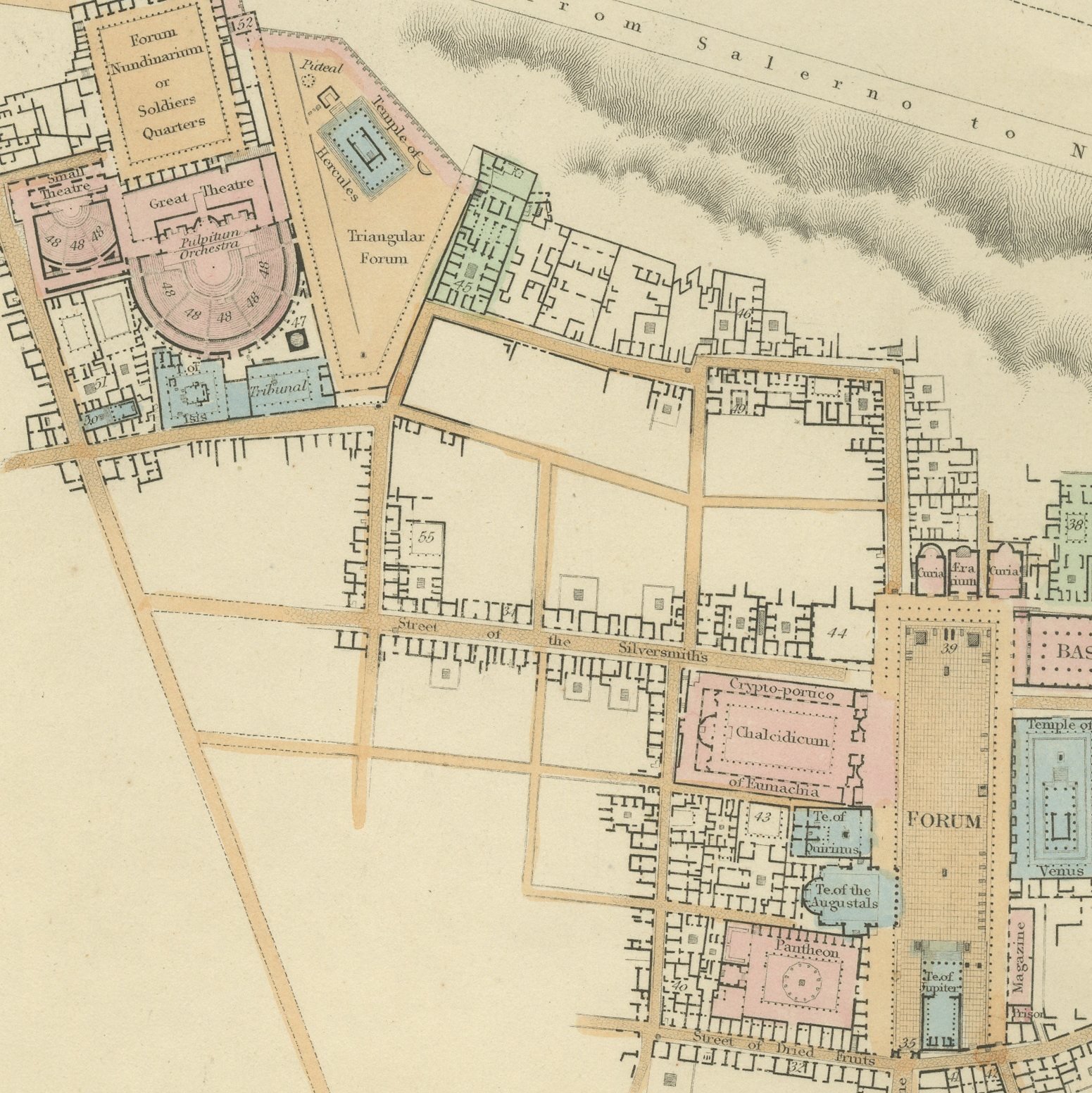
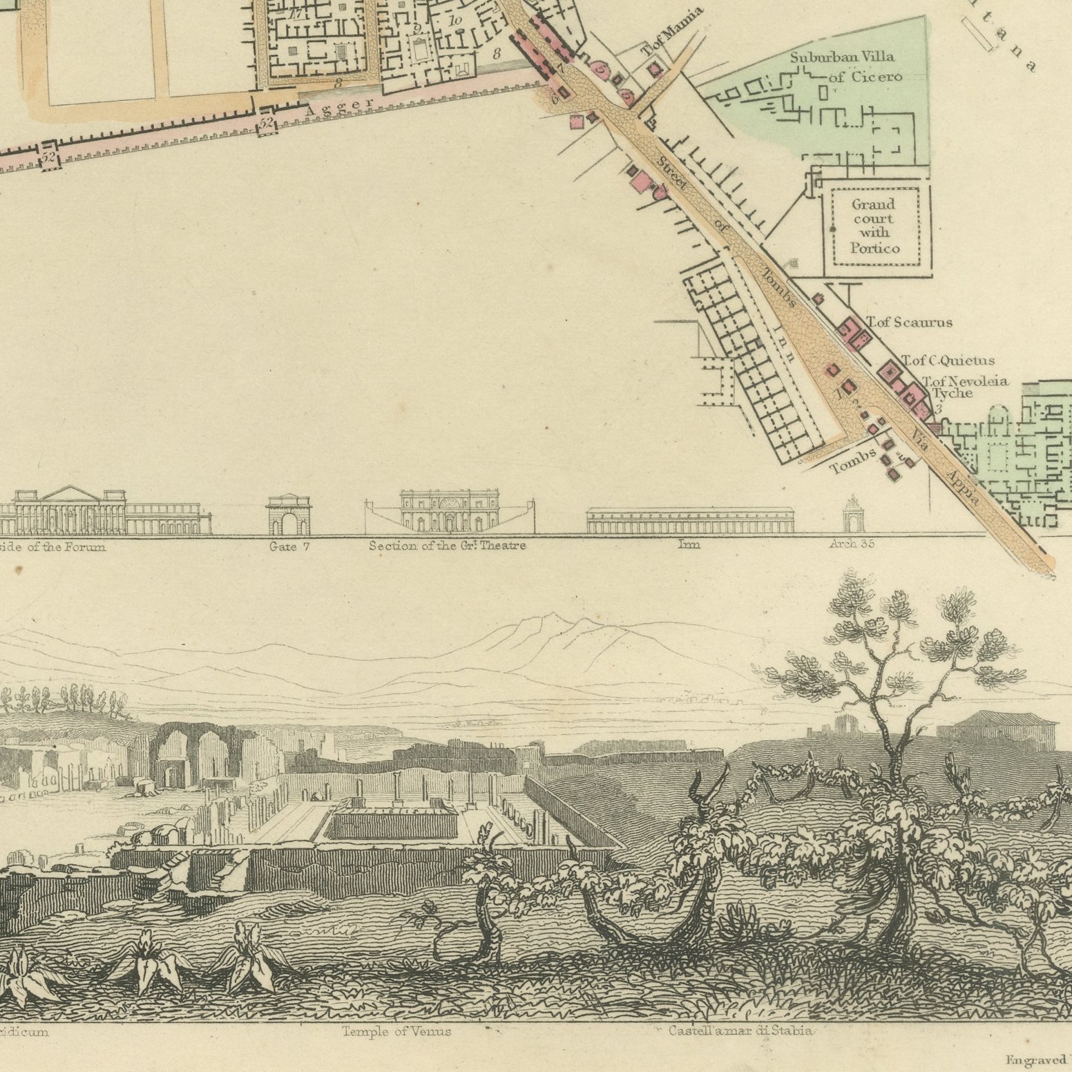
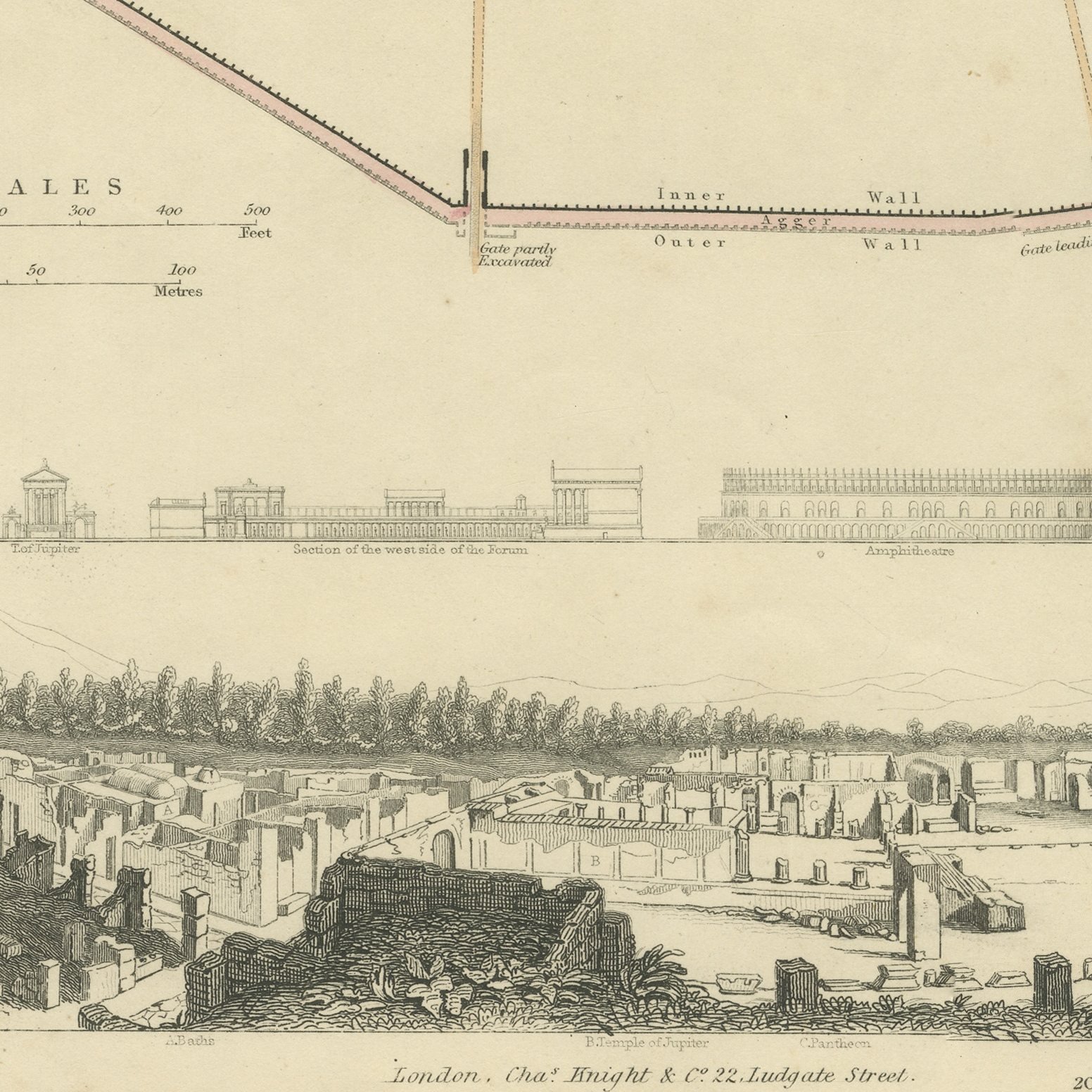
This is an original antique city plan of Pompeii, steel engraved and published in the atlas of the Society for the Diffusion of Useful Knowledge. The plan shows how much of Pompeii had been uncovered by the 1840s, with the Forum, the theaters, the amphitheater and the Street of Tombs drawn building by building and the unexcavated ground shown empty. A separate plan of the Domus Pansae is inset on a drawn scroll, another inset gives the coast in the vicinity of Vesuvius, a long panorama of the excavations runs along the foot and a band of measured elevations compares the principal buildings. The outline and water coloring is original hand color, applied by the publisher before the sheet was bound into the volume.
Plate number 202 of the third volume of the Society's atlas, published in London by Charles Knight and Company at 22 Ludgate Street in 1847 and lettered as a new edition corrected to the present time. The Society was founded in 1826 by Lord Brougham to put reliable knowledge within reach of ordinary readers, and its maps were the most accurate cheap maps then available in English. The plate is lettered as drawn by W. B. Clarke and engraved by E. Turrell.
This is a working archaeological plan from the heroic age of the excavation, made when every season added new streets and the dates of each discovery were still worth recording on the sheet. It is one of the most informative plans in the volume and it hangs very well with classical material. Framed simply in dark wood or a plain gilt frame it suits a study, a hallway or a dining room, and it is a natural gift for anyone with a tie to the place.
Even age toning. Handling soiling along the bottom and right edges. Scattered light foxing in the margin. All four corners complete.
This is an original antique map, not a modern reproduction. This item is sold unframed.