 The sheet, as you receive it
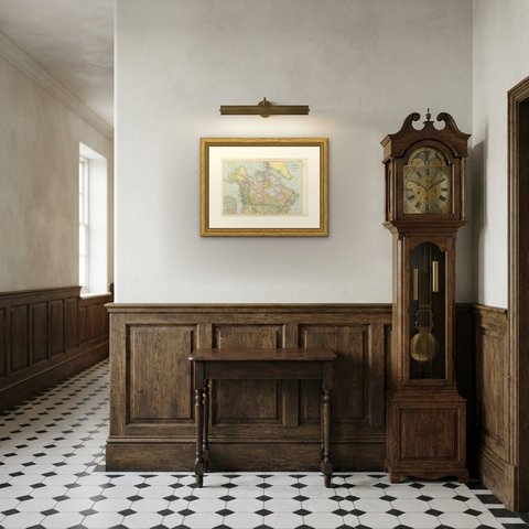
 In the room

Interior designers: BarTrade members buy at their trade price. How it works
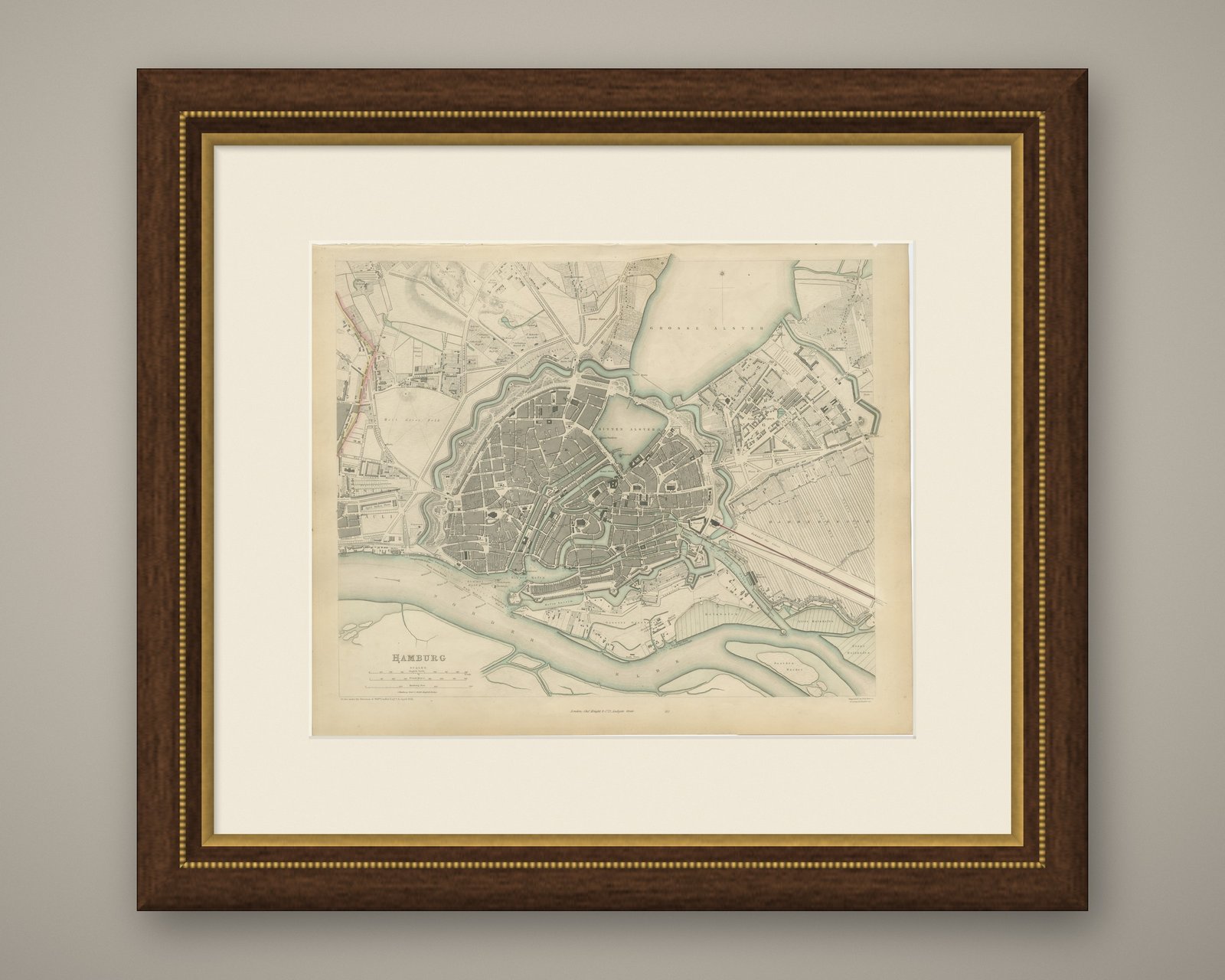
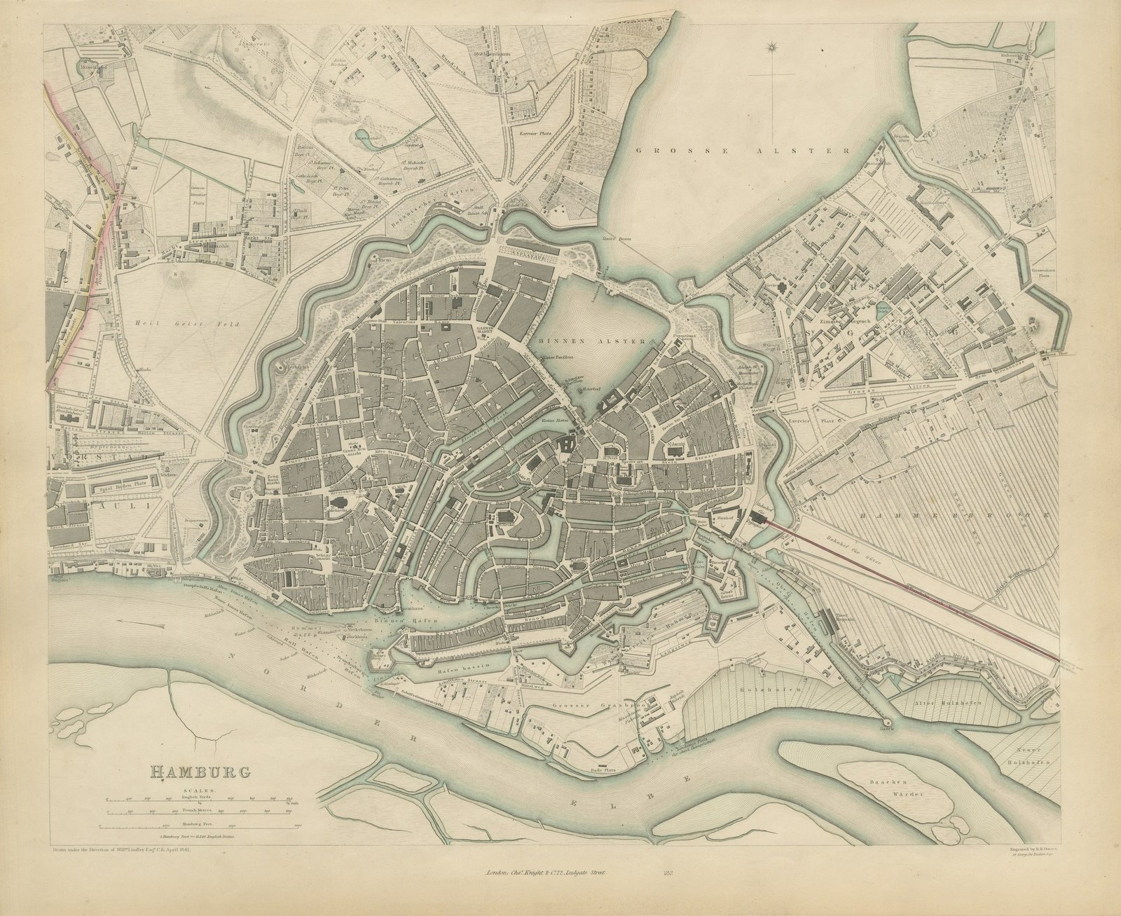
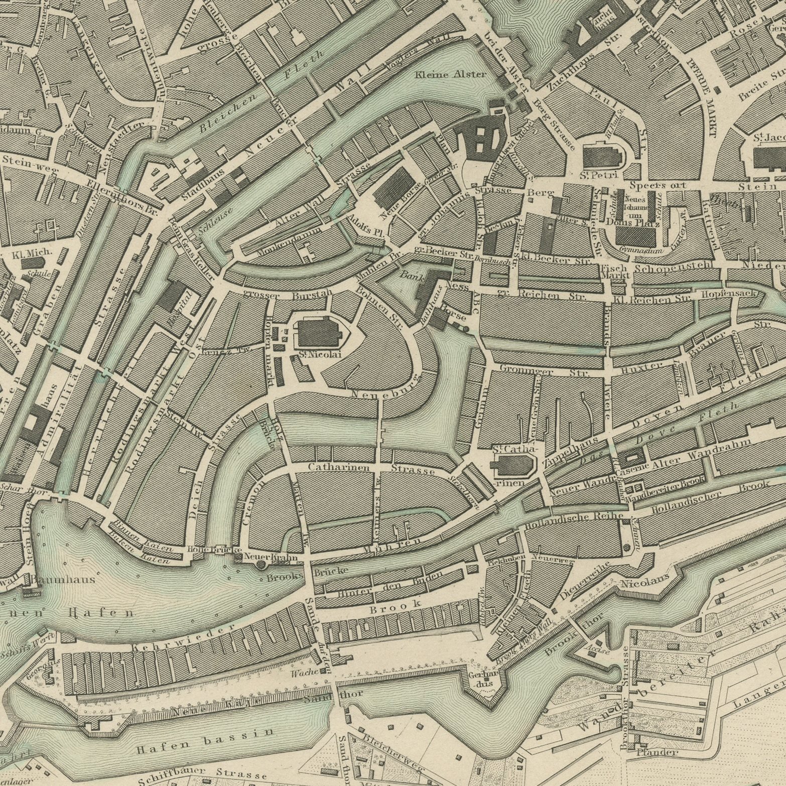
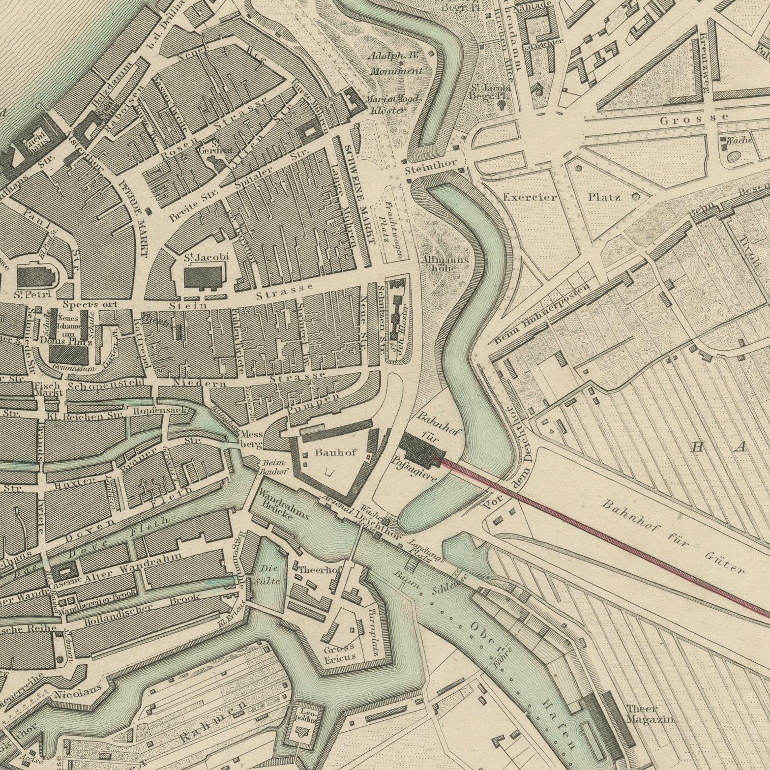
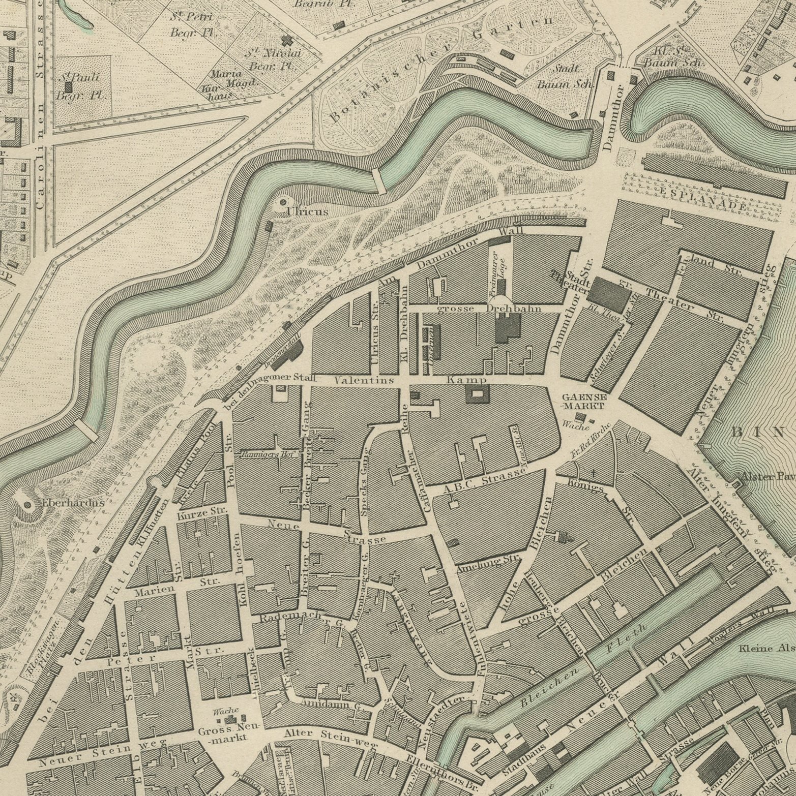
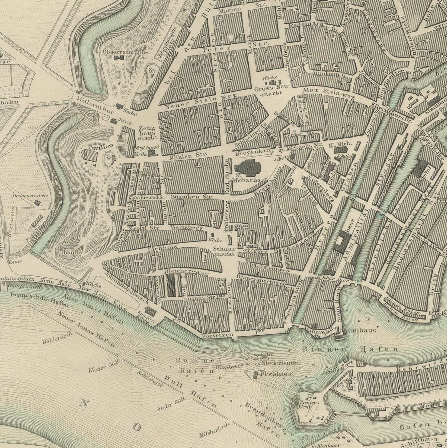
This is an original antique city plan of Hamburg, steel engraved and published in the atlas of the Society for the Diffusion of Useful Knowledge. The plan covers the free city between the Elbe and the Alster, with the Binnenalster and the Aussenalster hand colored above the ramparts, the harbor basins along the river, and Saint Pauli and the Hamburger Berg beyond the walls. The lettering records that it was drawn under the direction of William Lindley, civil engineer, in April 1841. The outline and water coloring is original hand color, applied by the publisher before the sheet was bound into the volume.
The Society for the Diffusion of Useful Knowledge published this as plate number 182 of the third volume of its atlas, the cities and stars volume, through Charles Knight at 22 Ludgate Street in London in 1847. The plans were engraved on steel, which allowed far larger print runs than copper and kept the fine detail crisp across the whole edition. The plate is lettered as engraved by B. R. Davies.
In May 1842 the Great Fire burned for three days and destroyed a third of the inner city, including much of what is drawn here, and William Lindley then went on to design the sewers and water supply of the rebuilt Hamburg. That makes this plan, drawn by his own office thirteen months before the fire, the clearest surviving picture of the medieval city that was lost. Framed simply in dark wood or a plain gilt frame it suits a study, a hallway or a dining room, and it is a natural gift for anyone with a tie to the place.
Light uneven toning, browner toward the edges. Handling soiling along the bottom, left and right edges. A few small foxing spots in the margin. Slight wear at the top right corner. Minor edge wear, shallow nicks along the top.
This is an original antique map, not a modern reproduction. This item is sold unframed.