 In the room
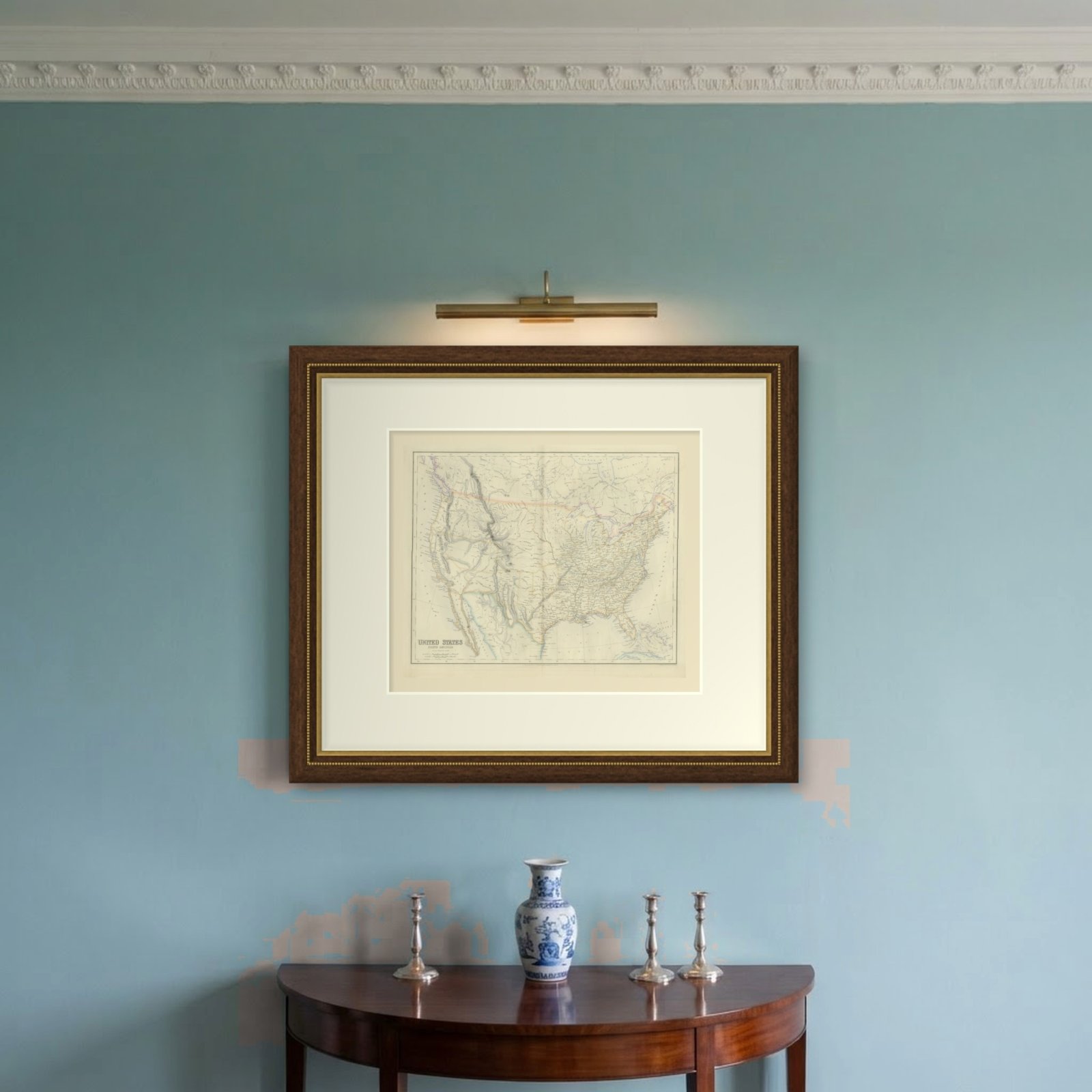
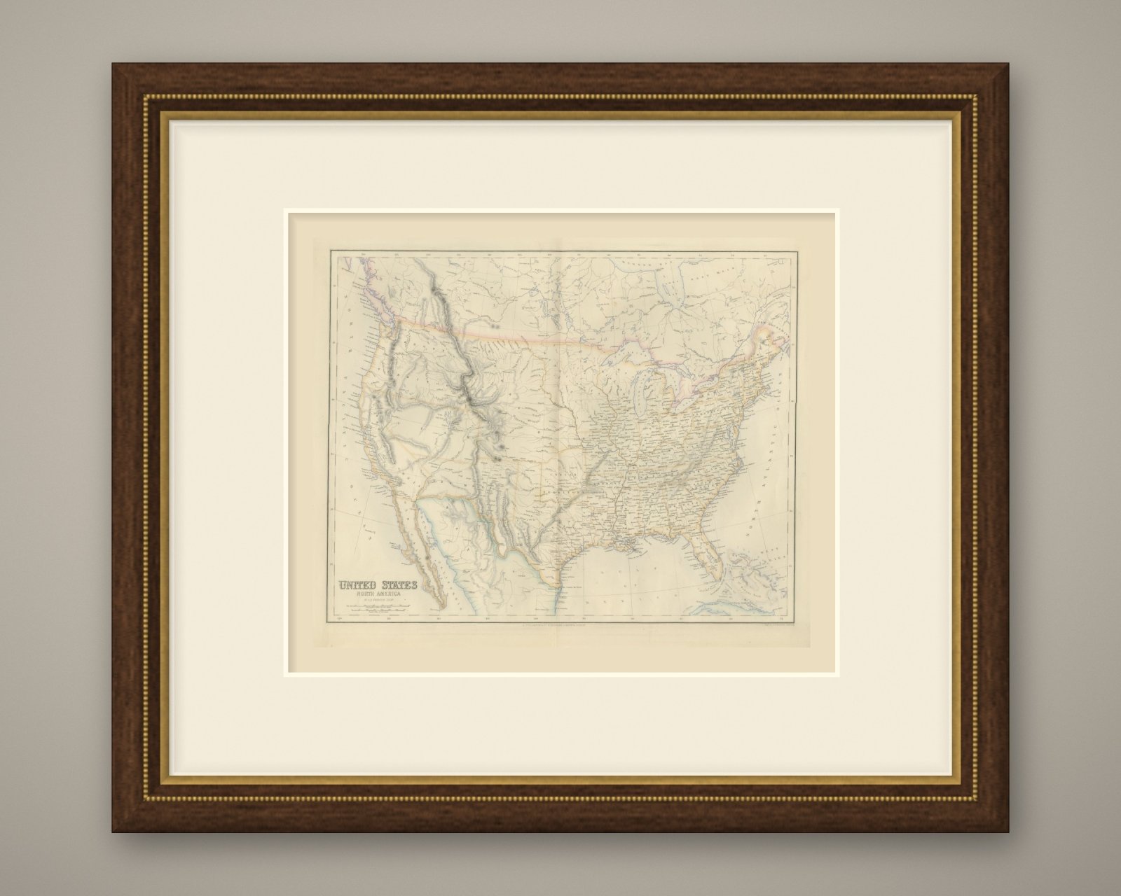
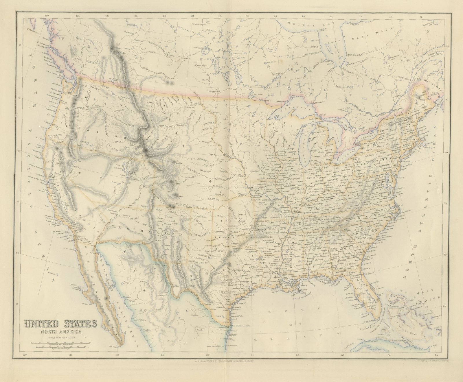
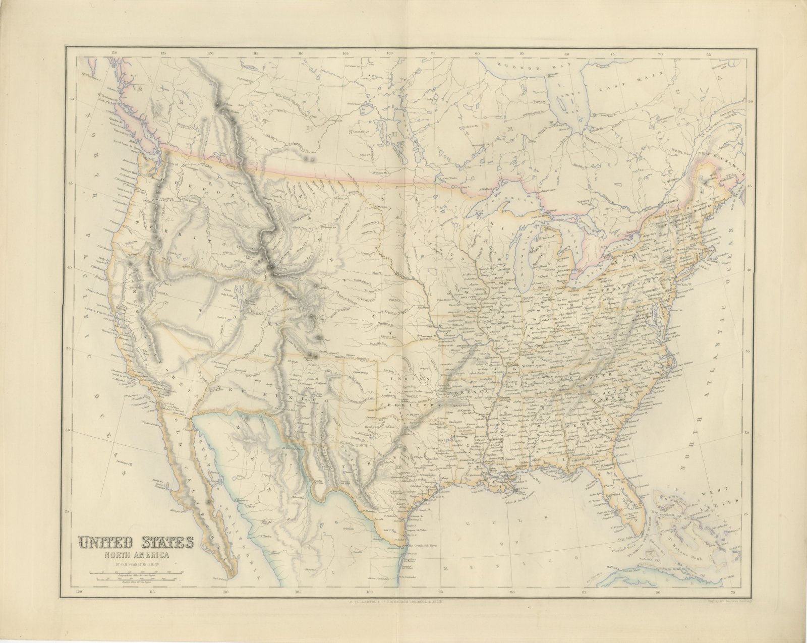
Antique Map of the United States with Oregon Territory, circa 1860
Interior designers: BarTrade members buy at their trade price. How it works
- Sheet
- 60 cm × 49 cm (width × height)
- Framed as shown
- 85 cm × 74 cm
- Shown on
- Duck egg wall
- Size
- Large, over 80 cm (31 in) framed
- Date
- circa 1860
- Technique
- Engraving
- Color
- Hand colored
- Condition
- Good
- Stock no.
- BG-14396-6
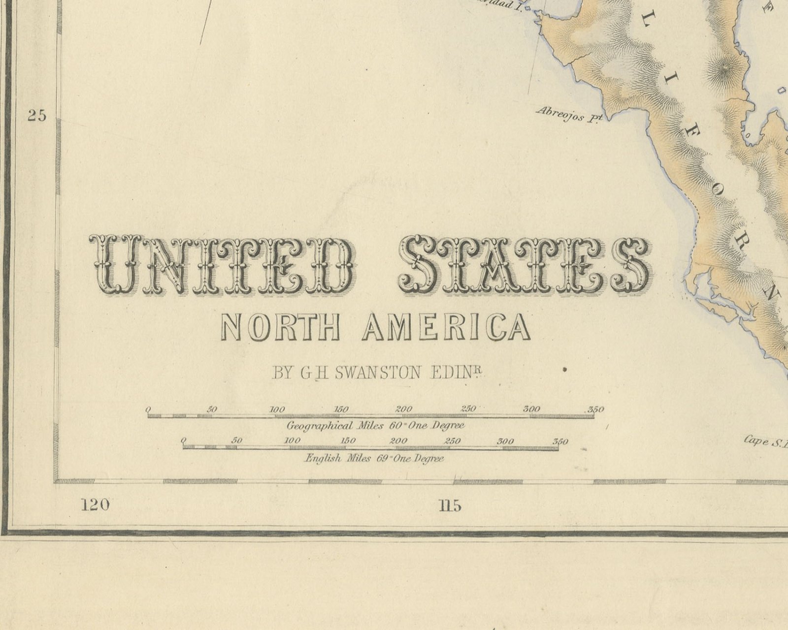
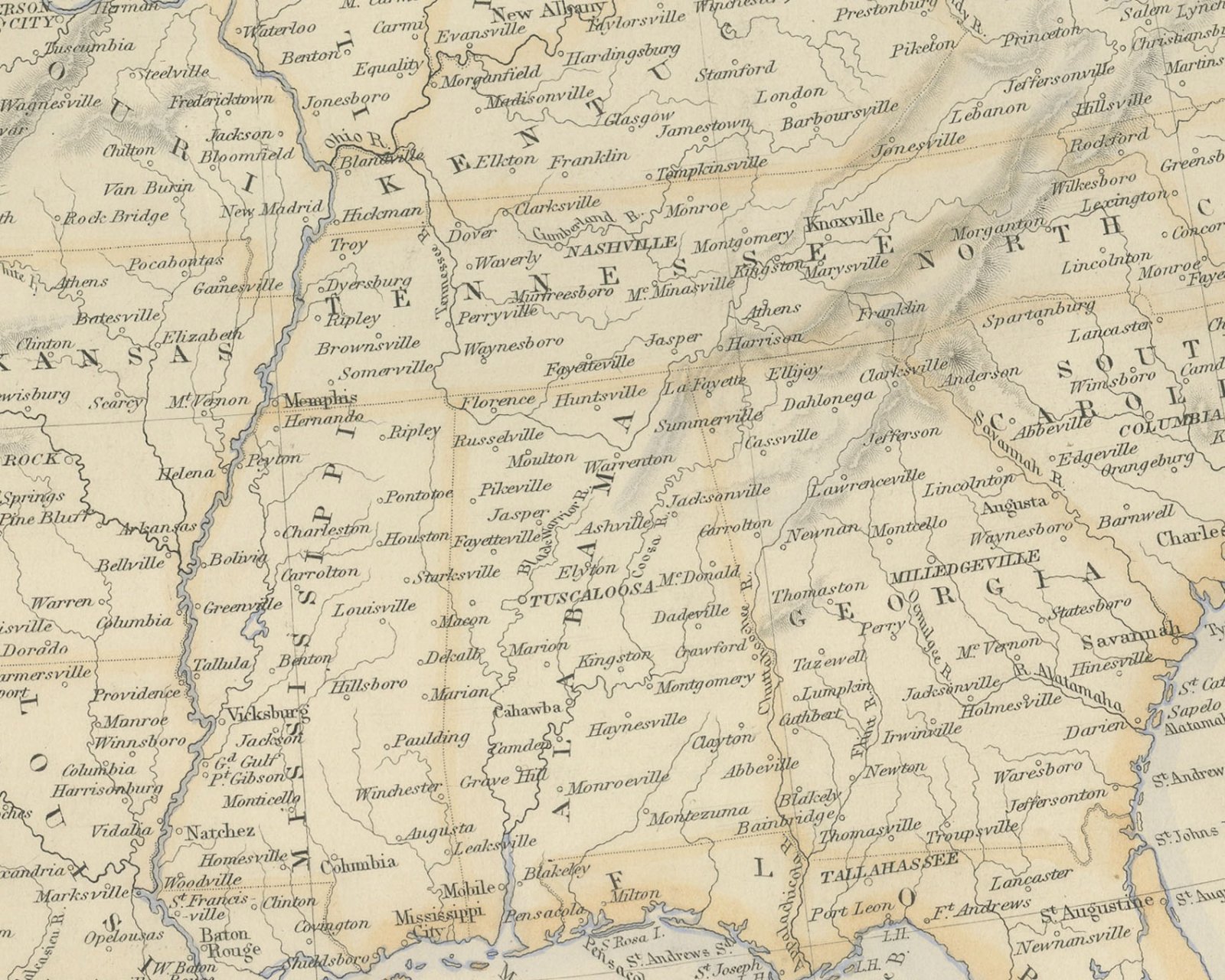
This is an original antique engraved map, colored by hand, from Fullarton's Companion Atlas to the Gazetteer of the World. The title at the lower left reads "UNITED STATES" with "NORTH AMERICA" beneath it. The map covers the country from the Pacific to the Atlantic, with the British territories up to Hudson Bay along the top, Mexico and Lower California along the bottom, and Cuba, the Bahamas and the edge of the West Indies at the lower right. State and territorial boundaries are outlined in color, and the mountain ranges of the west are shown by hachures.
There are no insets. The whole northwest carries the single lettering "OREGON TERRITORY", running from the Pacific coast to the Rocky Mountains. To the south "UTAH" spans the Great Basin, where Great Salt Lake, Utah Lake and the "Mormon Settlement" are named, and "NEW MEXICO" lies below it. "NEBRASKA" is lettered across the plains east of the mountains, and "INDIAN TERRITORY" is lettered west of Arkansas. Two scale bars give "Geographical Miles 60 = One Degree" and "English Miles 69 = One Degree".
Beneath the title the map is credited "BY G.H SWANSTON EDINR." The engraver's line below the lower right corner of the border reads "Engd. by G.H. Swanston Edinburgh", and the imprint centered below the border reads "A. FULLARTON & Co. EDINBURGH, LONDON & DUBLIN."
The sheet comes from The Companion Atlas to the Gazetteer of the World, published by A. Fullarton and Co. of London, Edinburgh and Dublin and issued to subscribers in parts. The printed wrapper of Part 7, which survives with these maps, bills the work as comprehending forty-three beautifully colored maps engraved by G. H. Swanston, and it is marked "Colored Copy". Oregon Territory was organized in 1848, and Washington Territory was separated from it in 1853.
This is an original antique map, not a modern reproduction. This item is sold unframed.