 The sheet, as you receive it
 In the room
Interior designers: BarTrade members buy at their trade price. How it works
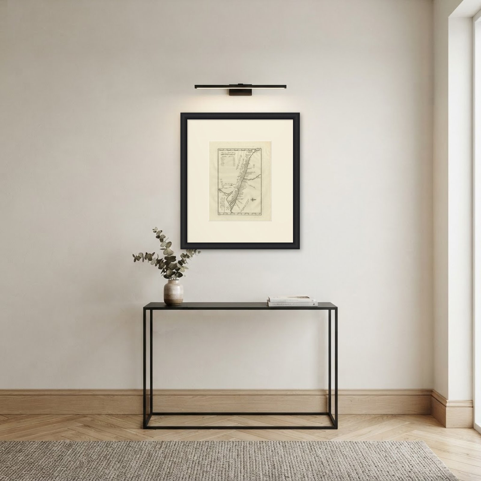
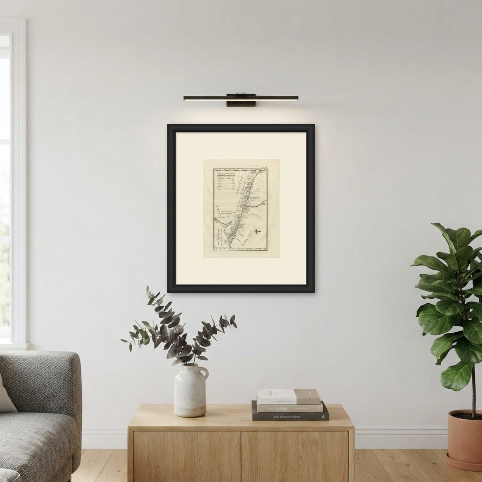
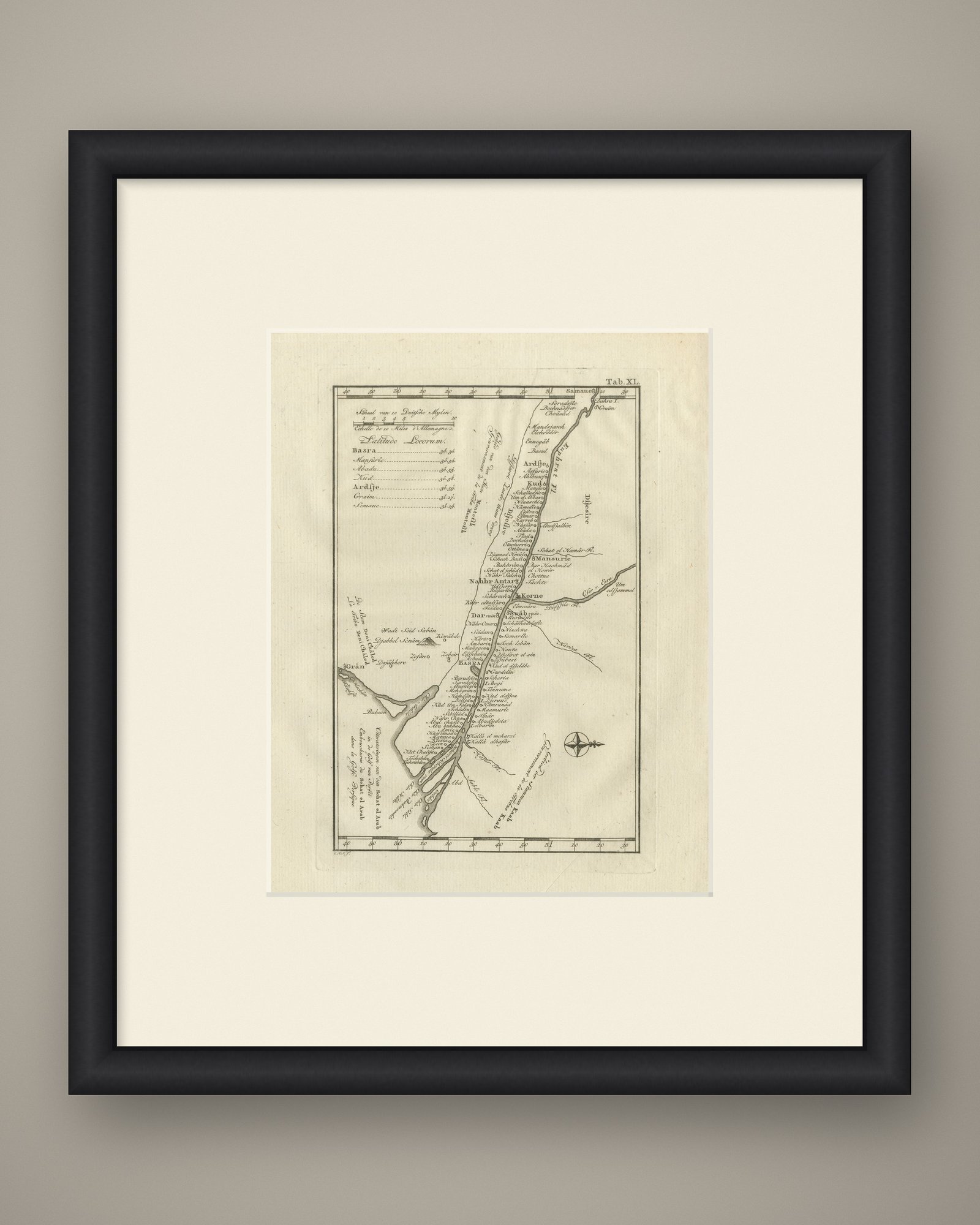
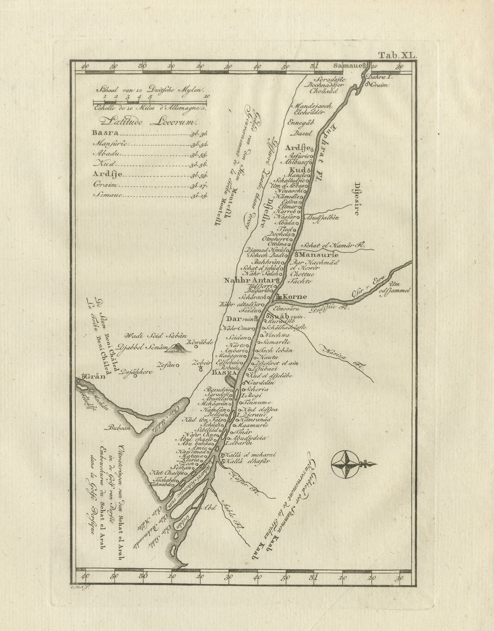
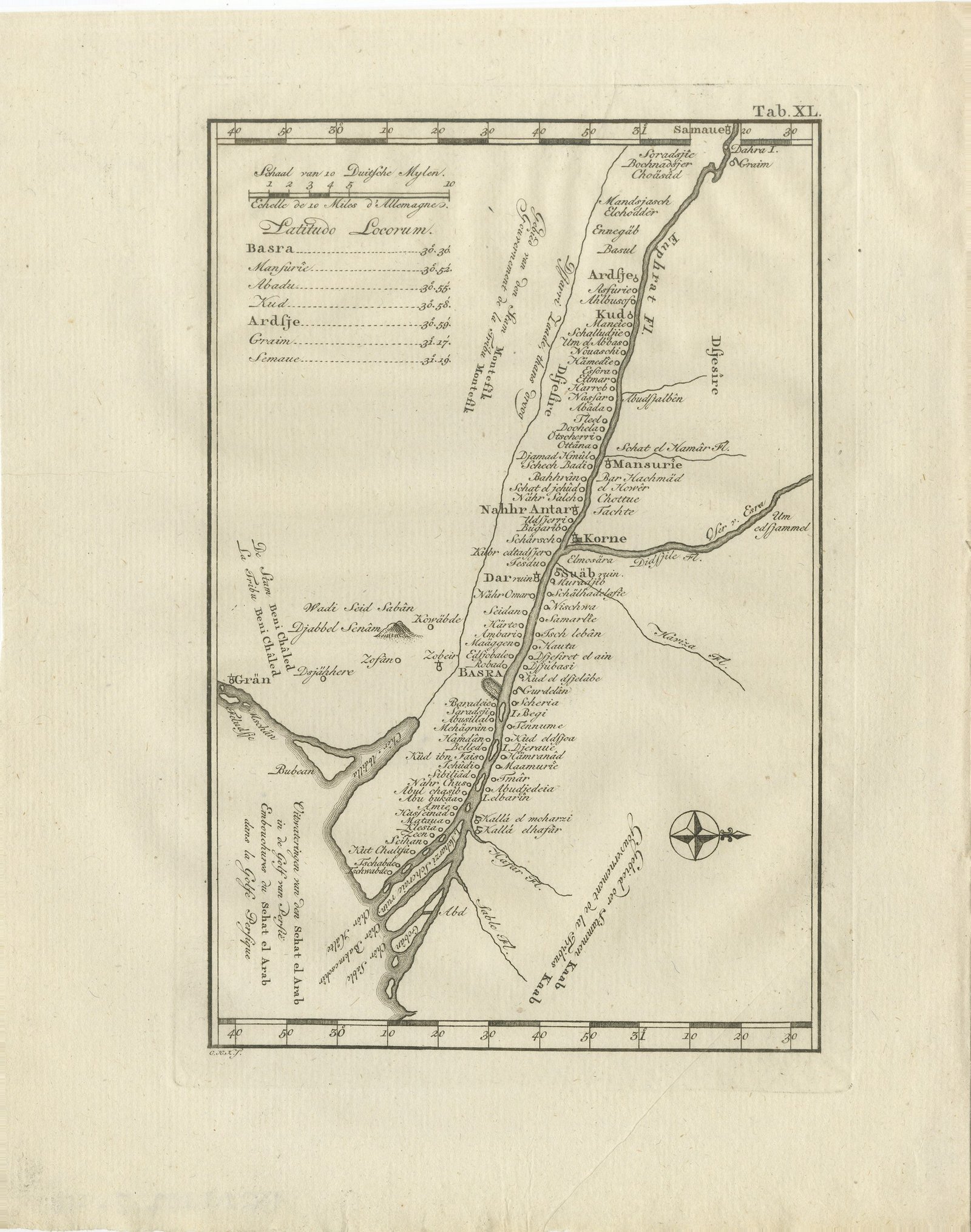
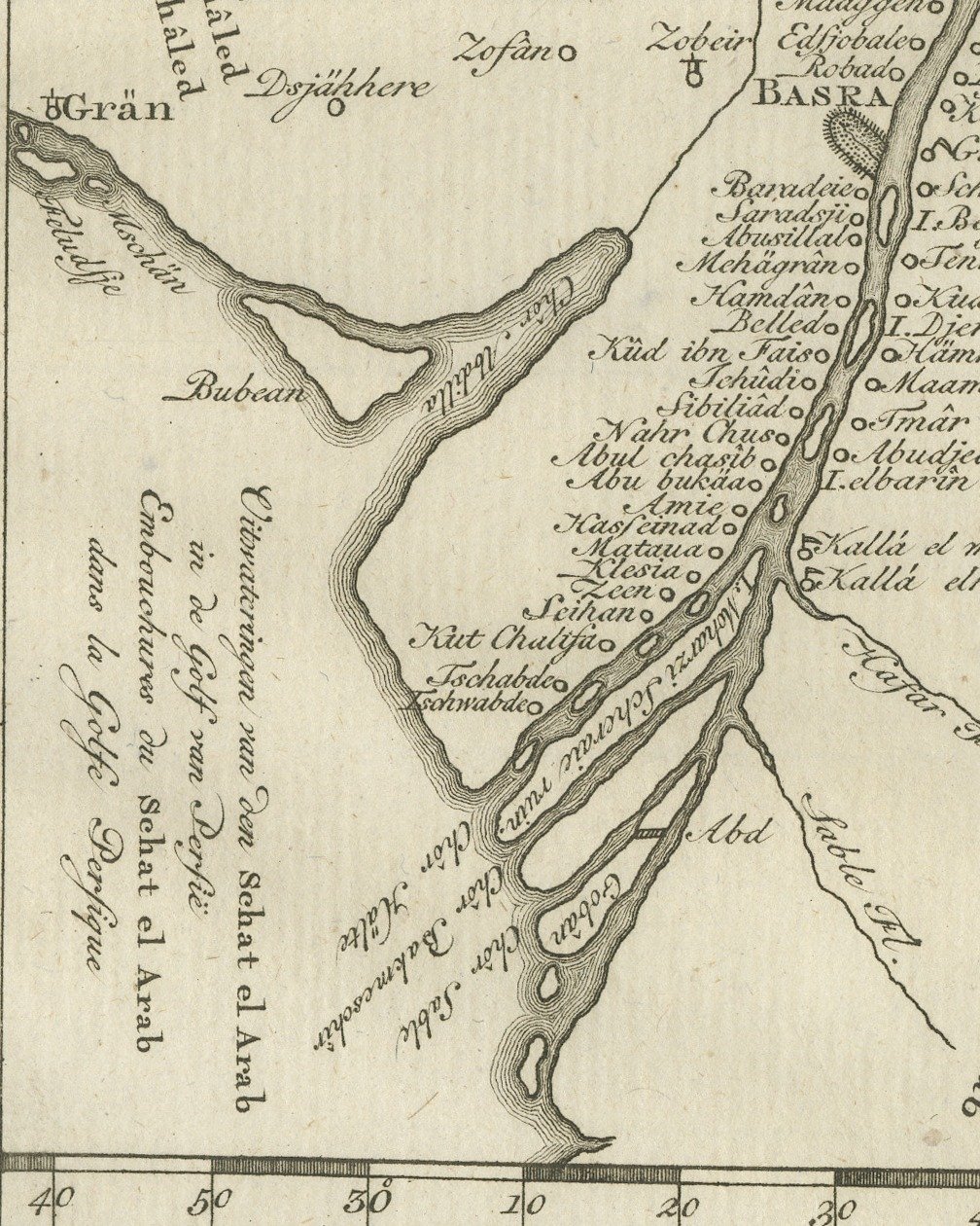
An original antique copper engraved map, published in 1780, of the river country between Samaue and the head of the Persian Gulf. No title is engraved in the margin; the river is lettered Euphrat Fl. and its mouth, at the lower left, Uitwateringen van den Schat el Arab in de Golf van Persie with the French Embouchures du Schat el Arab dans la Golfe Persique, "the outflow of the Shatt al Arab into the Persian Gulf".
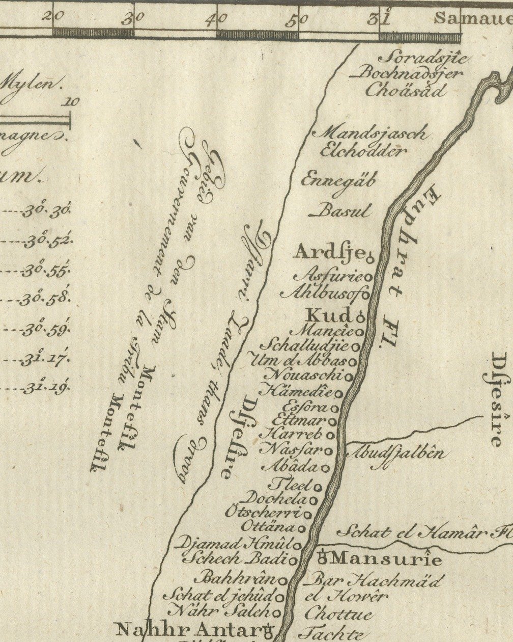
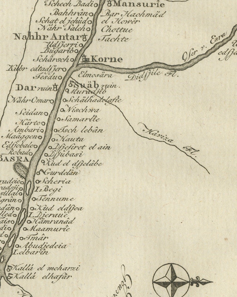
The river runs diagonally down the sheet from Samaue at the top right, past Ardsje, Kud, Mansurie and Korne, where a second river joins from the right, to BASRA and the branching mouth at the lower left. Small circles mark villages close together along both banks. West of the river are Zobeir, Djabbel Senâm drawn as a small hill, and Grän on the coast near the island lettered Bubean. Tribal names such as Beni Châled and Kaab are lettered across the open country. At the upper left a panel headed Latitudo Locorum lists latitudes for Basra, Mansurie, Abadu, Kud, Ardsje, Graim and Semaue, under a scale lettered Schaal van 10 Duitsche Mylen and Echelle de 10 Miles d'Allemagne. Degree scales run along the top and bottom borders and a compass rose is engraved at the lower right.
The plate number Tab. XL. is engraved at the upper right, and the credit C. H. K. f. is lettered below the lower left corner.
The plate comes from the second volume of Carsten Niebuhr's Voyage en Arabie & en d'autres Pays circonvoisins, Tome Second, the French translation printed at Amsterdam by S. J. Baalde and at Utrecht by Barthelemy Wild, with the title page dated MDCCLXXX. Carsten Niebuhr (1733 to 1815) was a German born surveyor in Danish service and the only member of the Danish expedition to Arabia (1761 to 1767), sent by King Frederick V of Denmark, to return alive. The account was first published in German at Copenhagen; this is the French translation printed in Amsterdam and Utrecht.
Light uneven toning, browner toward the edges. Handling soiling along the bottom edge. A few small foxing spots in the margin. All four corners are present.
This is an original antique print, not a modern reproduction. This item is sold unframed.