 The sheet, as you receive it
 In the room
Interior designers: BarTrade members buy at their trade price. How it works
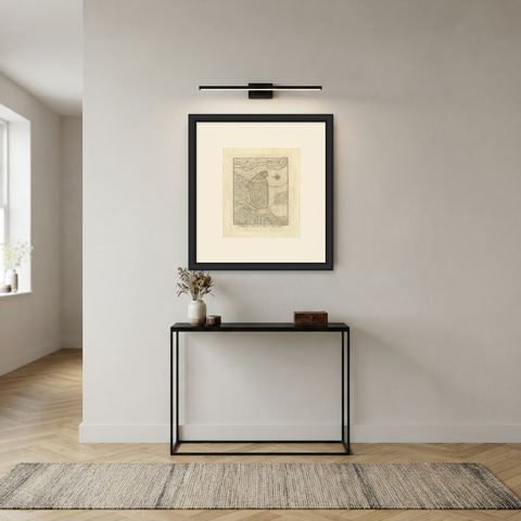
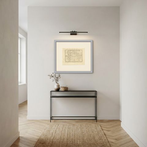
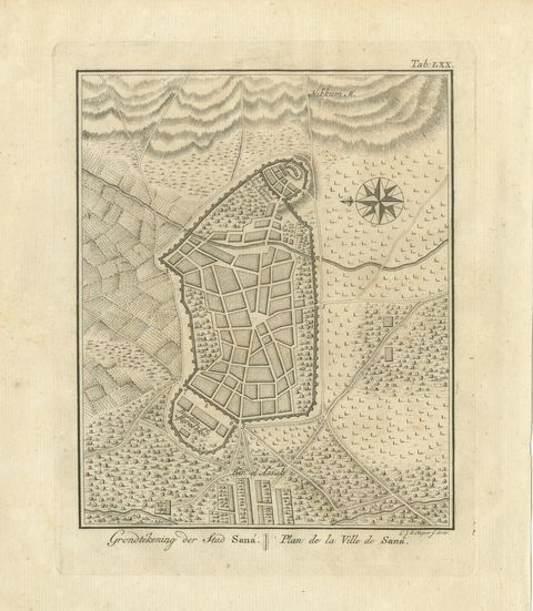
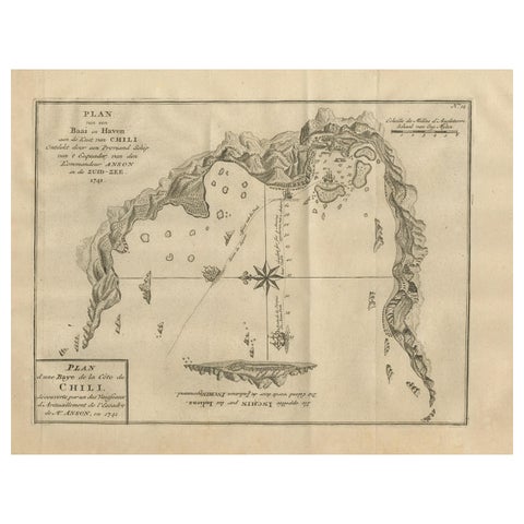
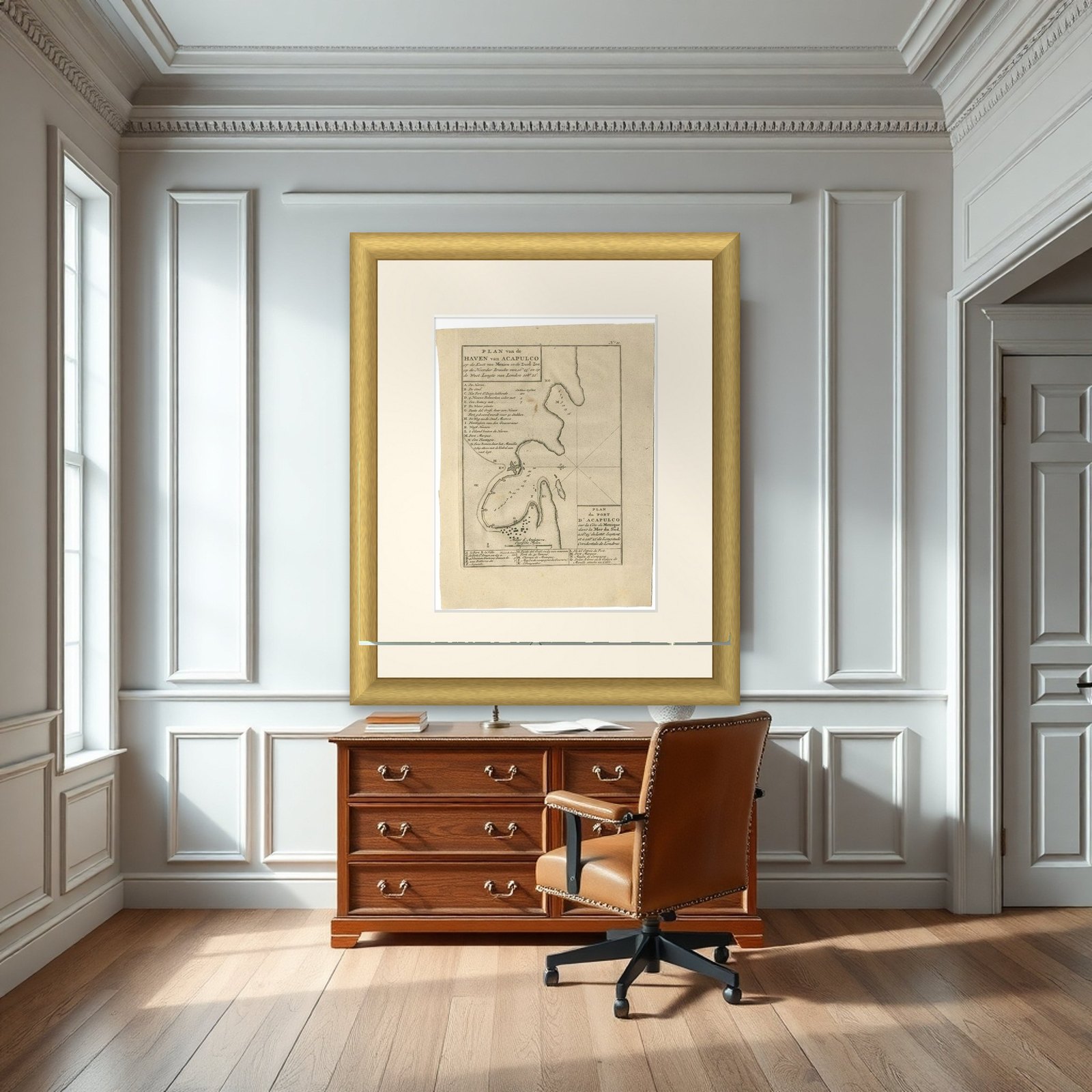
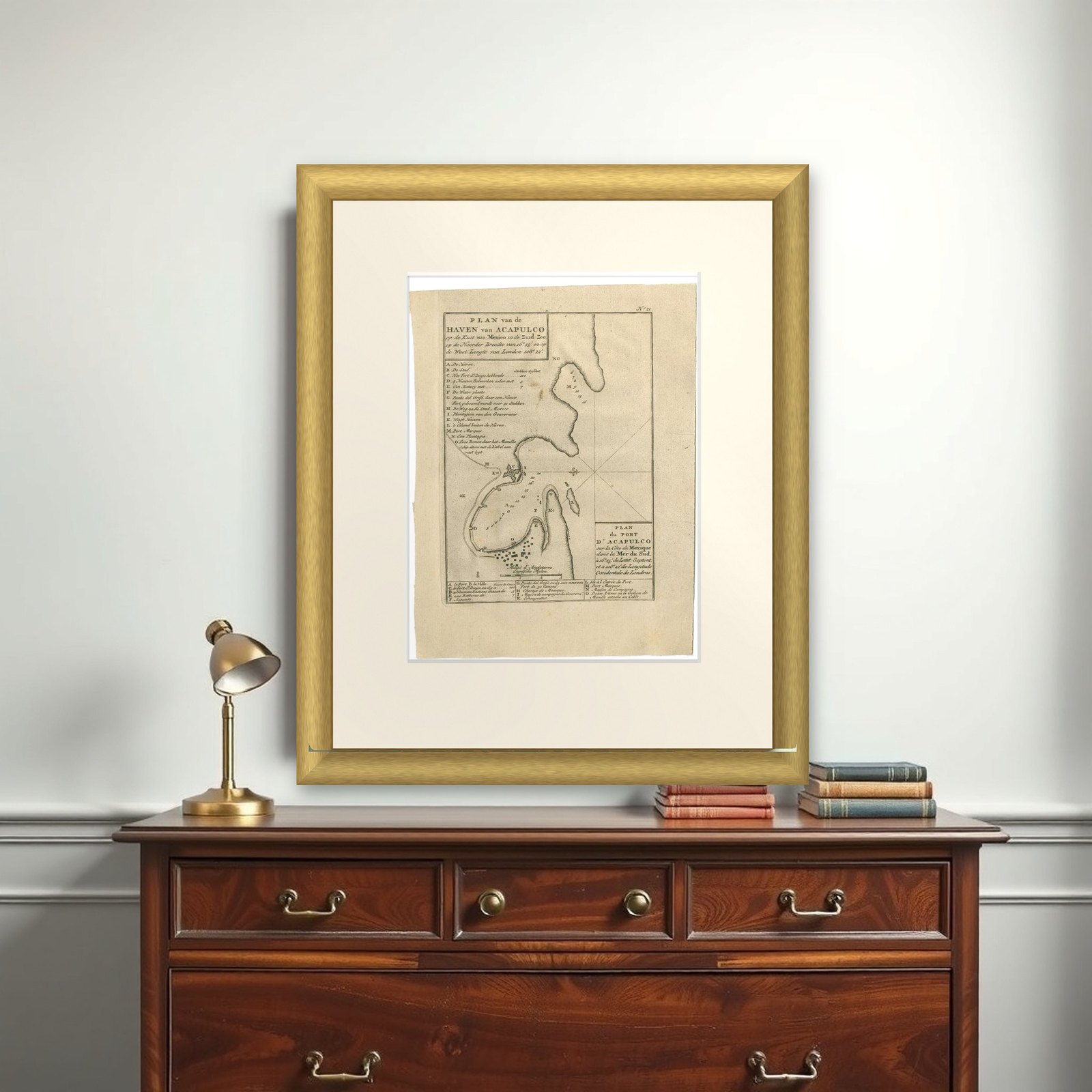
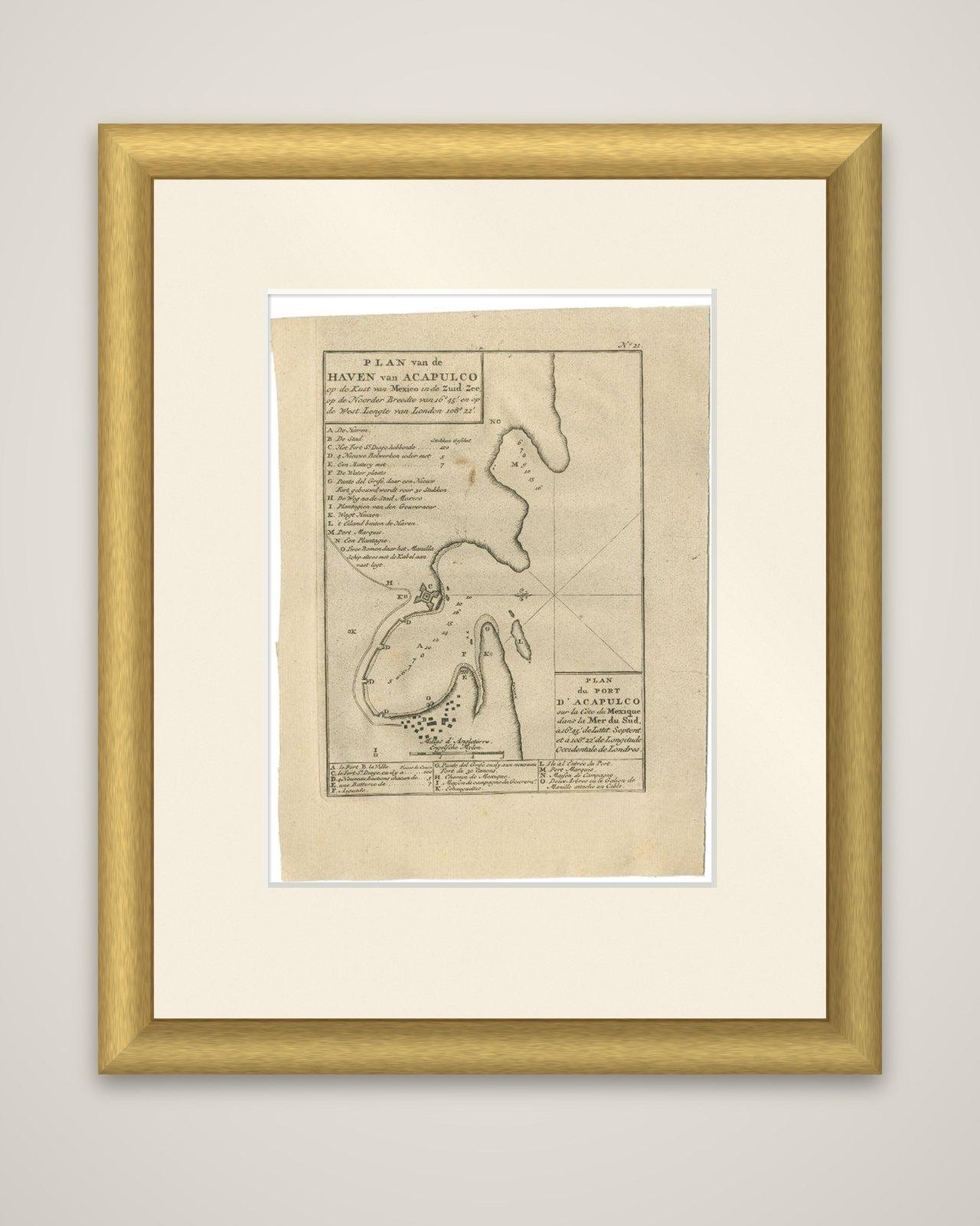
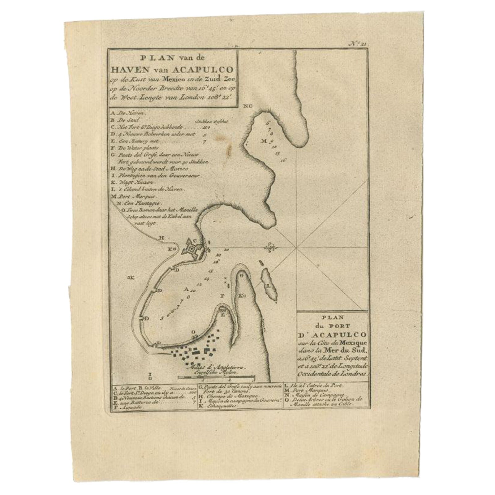
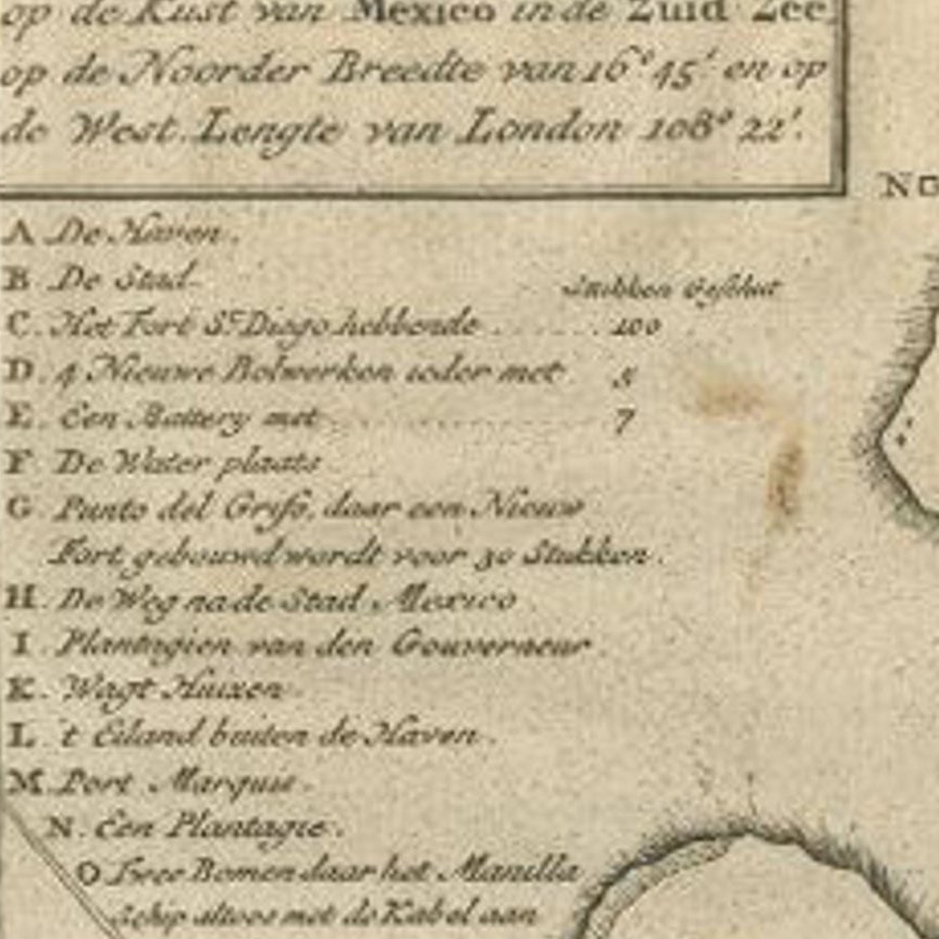
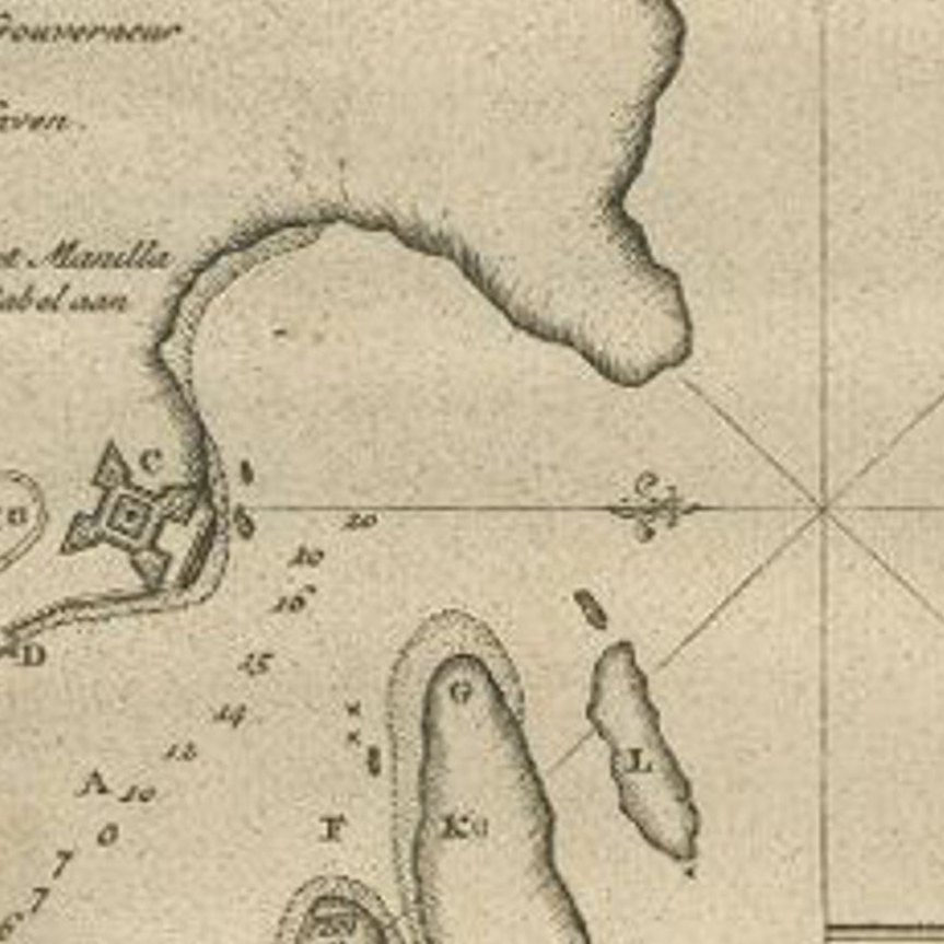
The harbor of Acapulco on the Pacific coast of Mexico, an original copper engraving published in 1749 in the Dutch edition of George Anson's voyage around the world, Reize rondsom de Werreld. The plan is lettered in both Dutch and French: "Plan van de Haven van Acapulco" and "Plan du Port d'Acapulco", placed on the coast of Mexico in the South Sea at about 16 degrees 45 minutes north latitude.
The plan shows the long, enclosed bay with the fort at its western head and the town laid out as a block of small squares along the northern shore. Letters A to O, keyed in a legend printed at the foot of the sheet in Dutch and French, identify the harbor, the town, Fort San Diego, the watering place, the road to Mexico City, the governor's plantation, the Port Marques and the plantation beyond it. Soundings fill the bay, and a compass rose with rhumb lines crosses the open water at right.
Acapulco was the Pacific terminus of the Manila galleon trade, which is why Anson's squadron took such interest in the port and in Spanish shipping along this coast.